The 15 Most Amazing Peaks around Uvernet-Fours
Best mountain peaks around Uvernet-Fours are found in the Ubaye valley, a region in southeastern France. This area serves as a gateway to the Mercantour National Park, featuring a natural heritage with over 60 peaks exceeding 3,000 meters in elevation. The landscape offers diverse terrain for exploration, from high-altitude passes to prominent summits.
Best mountain peaks around Uvernet-Fours
- The most popular mountain peak is Bonette Summit, a summit that is the highest point accessible by road in France. The…
Last updated: June 23, 2026
Bonette Summit
Highlight • Summit
Even if you are up there with the bike ...
Translated by Google •
Tip by

Ascent of the Cime de la Bonette from Jausiers
Highlight (Segment) • Mountain Pass
Translated by Google •
Tip by

Sign up now to discover places like this
Get recommendations on the best single tracks, peaks, & plenty of other exciting outdoor places.
Sign up for free
Tête de la Sestrière
Highlight • Summit
Translated by Google •
Tip by

Camp des Fourches military camp
Highlight • Historical Site
Translated by Google •
Tip by
Summit of Lausson
Highlight • Summit
Translated by Google •
Tip by

Sign up for free to discover even more peaks around Uvernet-Fours.
Sign up for free
Already have an account?
Start today with a free account
Your next adventure awaits.
Login or Signup
Popular around Uvernet-Fours

Transalps MTB – Chamonix to the Mediterranean Sea
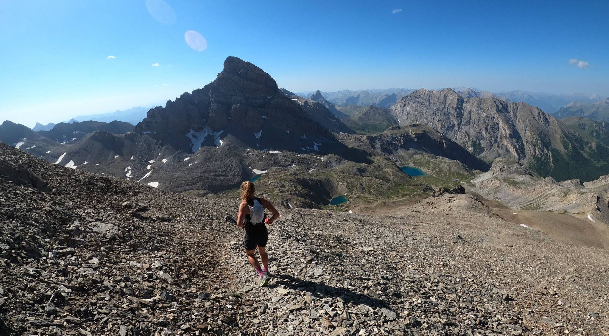
Trail running in the mountain peaks from Barcelonnette
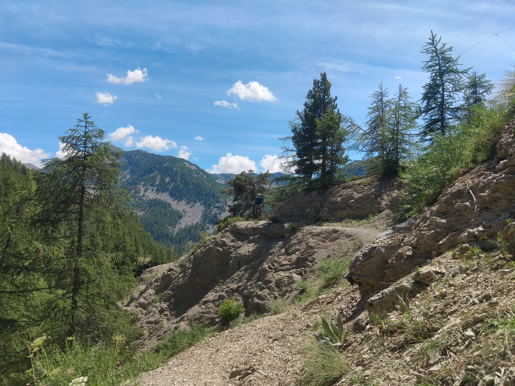
In the shadow of Europe's largest canyon – the TransVerdon

Mountains and marmots — France’s Ubaye trail (GR 56)

MigrAction – Generations in Motion
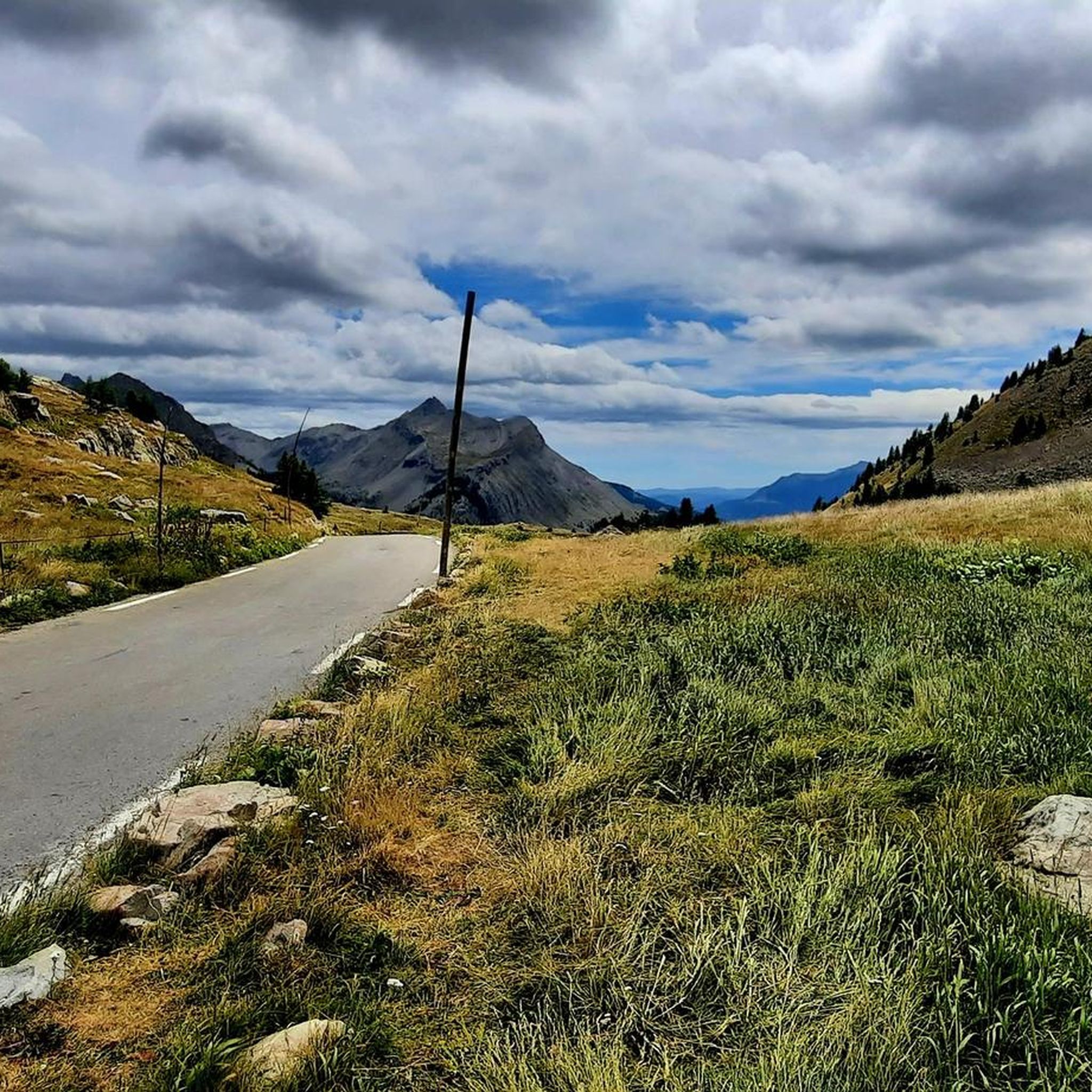
Road Cycling Routes around Uvernet-Fours
Hiking around Uvernet-Fours
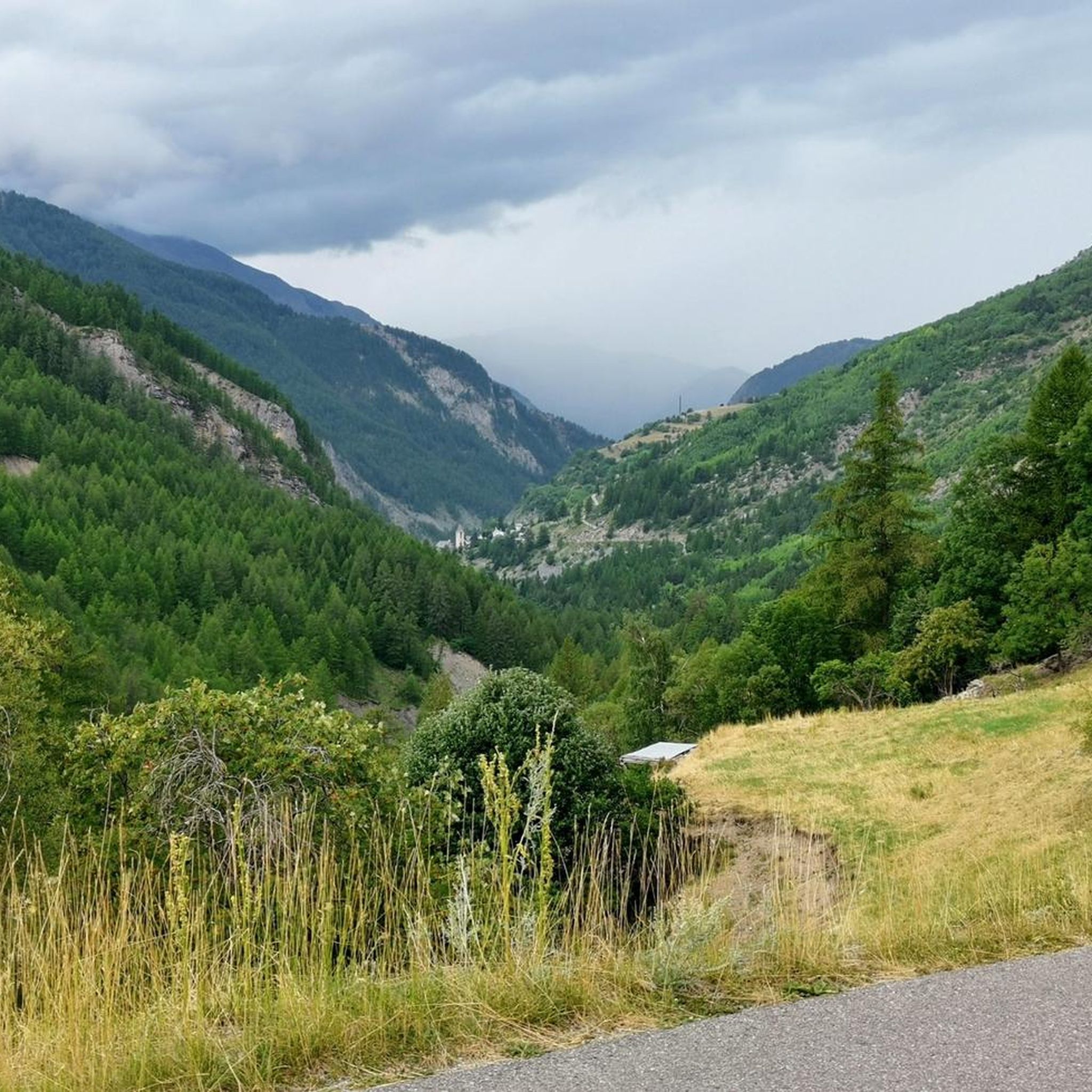
Cycling around Uvernet-Fours
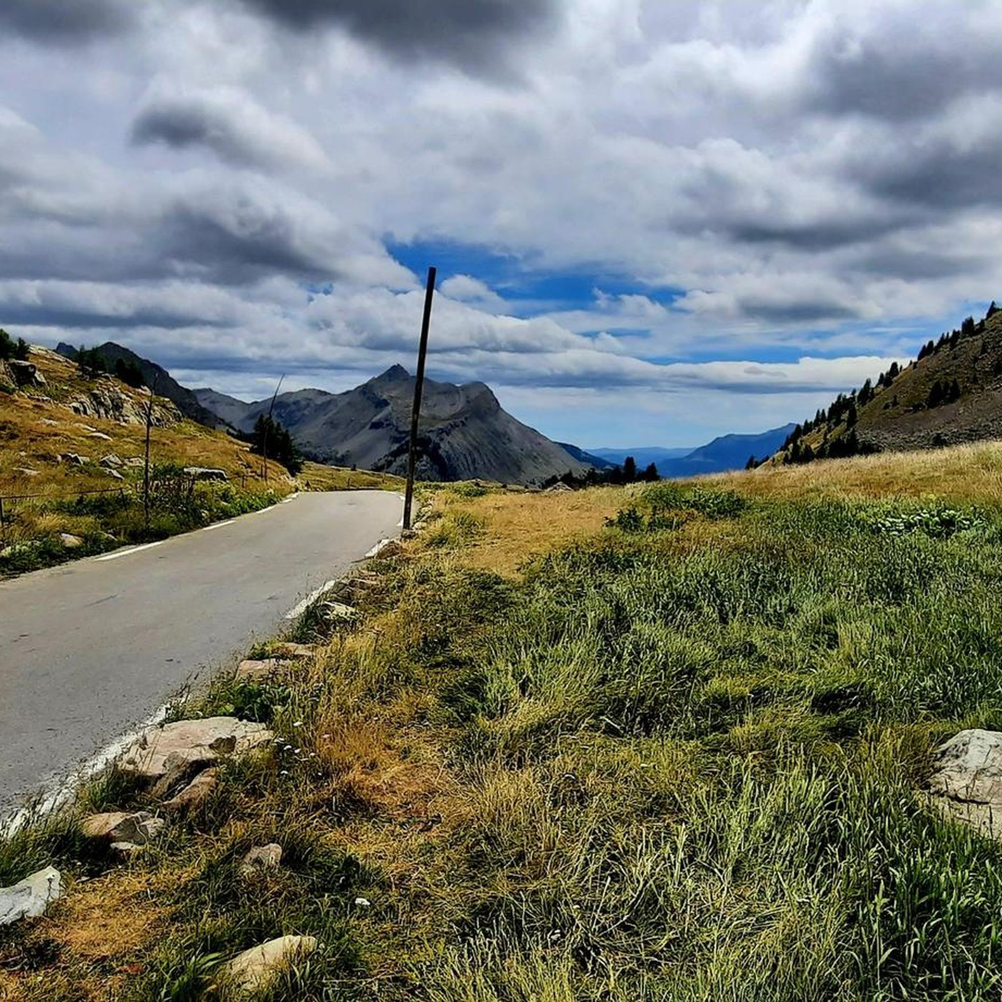
MTB Trails around Uvernet-Fours
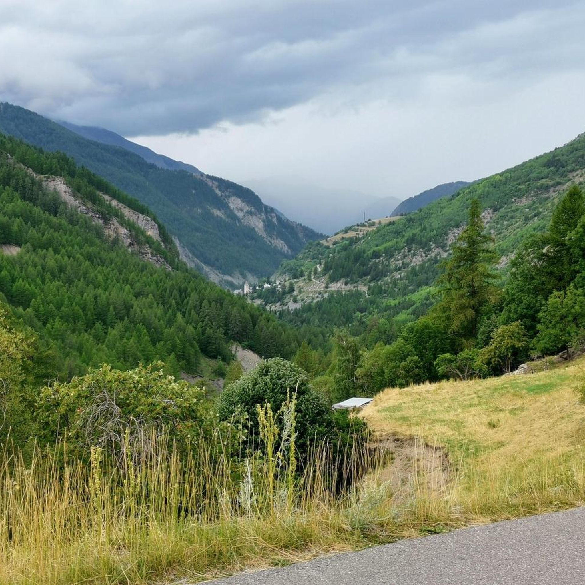
Running Trails around Uvernet-Fours
Other adventures around Uvernet-Fours


Tips from the Community

The ring road around the mountain comes into view once more at the end. Steep sections lead to the highest point, the Cime de la Bonette. Accessible in one direction only!
0
0

abandoned building without water
0
0

Intriguing ghost town which actually includes the barracks of a former military camp
0
0

Going up the Col de la Bonette on its southern side, just over 7 km from the top of the pass, and once you have passed the most spectacular section with several hairpin bends, you reach this ghost town. It is a military complex built in 1888 and used as an army operations barracks during World Wars I and II. It is very well preserved thanks to the reconstruction work carried out in 2016 and 2018. It is worth stopping to take a look.
0
0

Col de la Bonette (2715 meters above sea level) is a mountain pass in the French Alps, near the border with Italy. It is located in the Mercantour National Park on the border of the departments of Alpes-Maritimes and Alpes-de-Haute-Provence. The road over the col is the seventh highest paved road in the Alps.
0
0
Passage with a magnificent view of Lake Allos and arrival at the top of Pas du Lausson at 2602 m to enjoy a stunning view of the massifs. Continue towards the Col de la Petite Cayole or under a ravine (somewhat narrow and high road) you will successively discover two lakes with transparent and green water. Descent towards Lake Allos.
1
0

Camp des Fourches was part of a set of fortifications protecting the Ubaye valley from potential Italian attacks. This barracks in particular was used by Alpine hunters whose mission was to defend the Col des Fourches. The department wanted to preserve and highlight this work, in memory of the mountain troops who fought during the First and Second World Wars. On the site, a set of explanatory panels recount the history of this place.
2
0

It doesn't matter which vehicle you used to get to the ring road, you shouldn't skip the last 60 meters of altitude on foot!
0
0
Frequently Asked Questions
What are some of the most popular mountain peaks and passes to visit around Uvernet-Fours?
The region around Uvernet-Fours offers several notable peaks and passes. The Bonette Summit is particularly popular, known as the highest point accessible by road in France, offering panoramic views. Other highly regarded spots include Tête de la Sestrière, which provides a 360-degree panorama of the surrounding valleys and peaks, and the Summit of Lausson, where you can enjoy magnificent views of Lake Allos and potentially spot ibex.
Are there any historical sites or landmarks near the mountain peaks in Uvernet-Fours?
Yes, the region has historical significance. Near the Col de la Bonette, you can explore a well-preserved military complex built in 1888, which served as an army operations barracks during World War I and II. Additionally, the Camp des Fourches military camp is a historical site that was part of fortifications protecting the Ubaye valley, with explanatory panels recounting its history.
What kind of wildlife can I expect to see in the mountains around Uvernet-Fours?
The mountains around Uvernet-Fours are rich in wildlife. When hiking towards the Summit of Lausson, there's a good chance of spotting ibex. The tranquil roads and natural areas around Col de la Cayolle are known for marmots and diverse other wildlife.
What are the best mountain passes for scenic drives or cycling in the Uvernet-Fours area?
For scenic drives and cycling, the Col de la Bonette is a prime choice, being the seventh highest paved road in the Alps and offering spectacular scenery. The Col de la Cayolle, culminating at over 2,324 meters, also provides a remarkable panorama and tranquil roads, making it excellent for motorists and cyclists seeking unspoiled nature.
Are there any easy or family-friendly mountain hikes around Uvernet-Fours?
While many routes in the high mountains can be challenging, there are options for easier hikes. For instance, the 'Stone Shelter – Lake Pra Loup loop from Uvernet' is an easy hiking route. The area around Col d'Allos is also known for splendid walks that can be adapted for various fitness levels, providing access to beautiful natural features.
What are some challenging hikes for experienced mountaineers near Uvernet-Fours?
Experienced hikers looking for a challenge can consider the circular hike to Chapeau de Gendarme, which is a difficult 6.5-hour ascent starting from the Super-Sauze ski resort, promising spectacular alpine views. The 'Lacs de la petite Cayolle et des Garrets – loop in the heart of the Mercantour National Park' is another difficult hiking option.
Where can I find panoramic viewpoints in the Uvernet-Fours mountains?
Many peaks and passes offer stunning panoramic views. The Bonette Summit is renowned for its grandiose vistas. The Tête de la Sestrière provides a superb 360-degree panorama, and the Summit of Lausson offers magnificent views of Lake Allos and the surrounding massifs.
What outdoor activities, besides hiking, can I do near the mountain peaks around Uvernet-Fours?
Beyond hiking, the region is excellent for cycling, especially on passes like Col de la Bonette and Col de la Cayolle. You can also explore gravel biking routes, such as the 'Col de la Bonette' or 'Col de la Bonette and Lac des Sagnes' routes, which are part of the gravel biking guide around Uvernet-Fours. Running trails are also available, including the 'Pra-Loup to Clos du Serre - loop trail' found in the running trails guide around Uvernet-Fours.
Are there any lakes or water features near the mountain peaks?
Yes, the region is home to beautiful lakes. The Summit of Lausson offers magnificent views of Lake Allos, Europe's largest natural high-altitude lake, which is located at the foot of Mont Pelat. The route towards the Col de la Petite Cayolle also reveals two lakes with transparent and green waters.
What do visitors enjoy most about the mountain peaks around Uvernet-Fours?
Visitors frequently highlight the spectacular scenery and panoramic views from the summits and passes. The challenge of ascending peaks like the Bonette Summit, whether by bike or on foot, is a major draw. The opportunity to spot wildlife like ibex and marmots, and the sense of unspoiled nature, are also highly appreciated.
Can I find hiking routes that start directly from Uvernet-Fours?
Yes, there are hiking routes that originate from Uvernet-Fours. For example, a moderate 3.5-hour hike allows visitors to reach Rochegrand and enjoy expansive panoramas of the Allos valley. You can also find easy routes like the 'Stone Shelter – Lake Pra Loup loop from Uvernet' and a general 'Hiking loop from Uvernet' in the hiking guide around Uvernet-Fours.
What is the highest point accessible by road in the Uvernet-Fours region?
The highest point accessible by road in the Uvernet-Fours region, and indeed in France, is the Bonette Summit, which reaches an altitude of 2,715 meters. The very last section requires walking to reach the absolute highest point.
Most popular routes around Uvernet-Fours
Most popular attractions around Uvernet-Fours

Get inspired with the komoot mobile app


Explore more
See even more amazing summits around Uvernet-Fours with these guides:
