The best walks and hikes around Uvernet-Fours
4.5
(486)
4,915
hikers
58
hikes
Hiking around Uvernet-Fours offers access to mountainous landscapes and diverse natural features within the Alpes-de-Haute-Provence department of France. The region is characterized by impressive summits, numerous high-altitude alpine lakes, and significant mountain passes. It serves as a gateway to the Mercantour National Park, which features dramatic limestone rocks, larch forests, and expansive meadows.
Best hiking trails around Uvernet-Fours
- The most popular hiking route is Lacs de la petite Cayolle et des Garrets – loop in the heart of the Mercantour…
Last updated: May 12, 2026
4.9
(65)
526
hikers
Hard hike. Good fitness required. Sure-footedness, sturdy shoes and alpine experience required.
5.0
(1)
13
hikers
Moderate hike. Good fitness required. Easily-accessible paths. Suitable for all skill levels.

Sign up for free
4.5
(14)
142
hikers
14.3km
05:01
800m
800m
Hard hike. Very good fitness required. Easily-accessible paths. Suitable for all skill levels.
4.6
(11)
131
hikers
5.05km
01:39
240m
240m
Easy hike. Great for any fitness level. Easily-accessible paths. Suitable for all skill levels.
4.8
(6)
73
hikers
Moderate hike. Good fitness required. Mostly accessible paths. Sure-footedness required.
Get access to more routes and recommendations from other explorers.
Sign up for free
Already have an account?
Our route recommendations are based on thousands of hikes, rides, and runs completed by other people on komoot.
Start today with a free account
Your next adventure awaits.
Login or Signup
Popular around Uvernet-Fours

Mountains and marmots — France’s Ubaye trail (GR 56)

MigrAction – Generations in Motion

Transalps MTB – Chamonix to the Mediterranean Sea
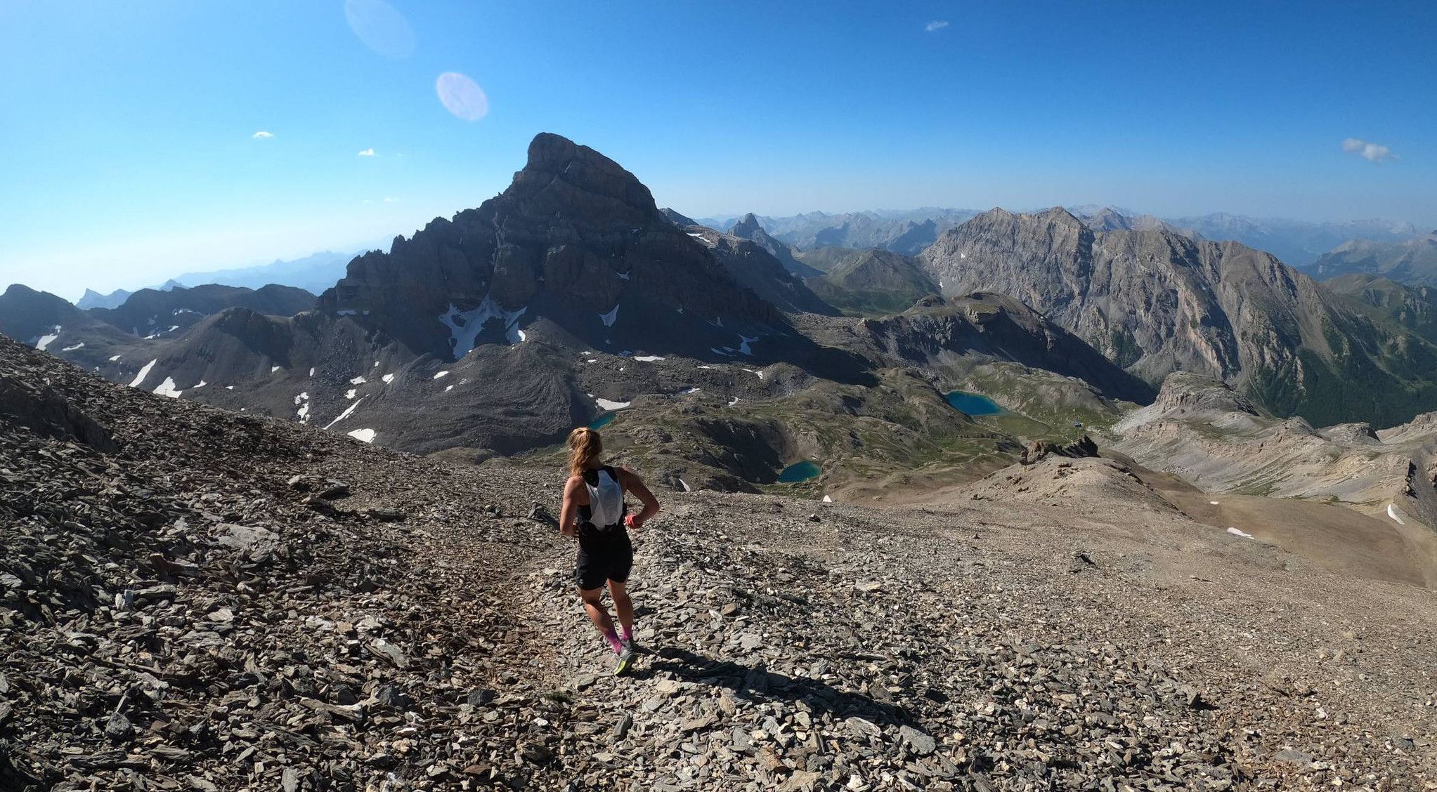
Trail running in the mountain peaks from Barcelonnette
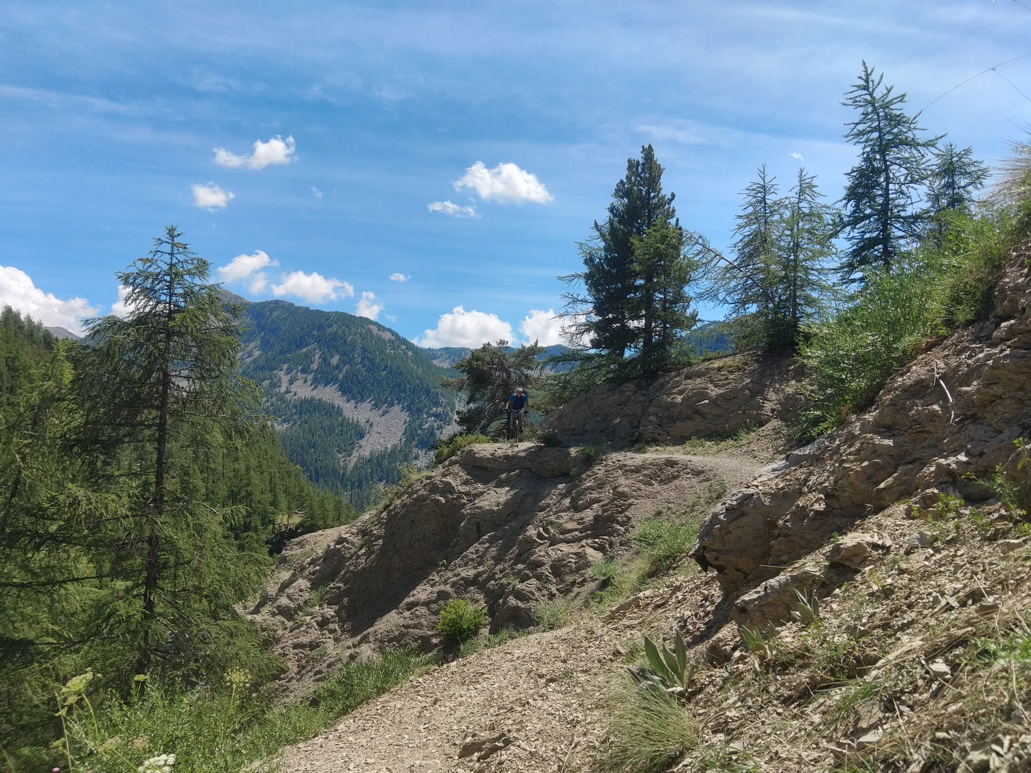
In the shadow of Europe's largest canyon – the TransVerdon
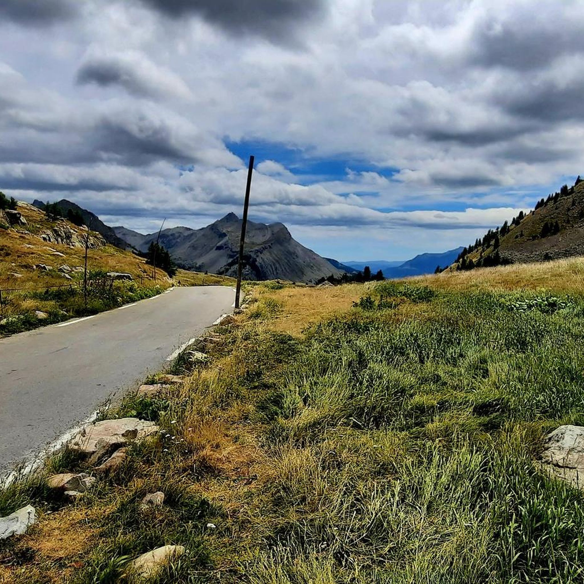
Road Cycling Routes around Uvernet-Fours
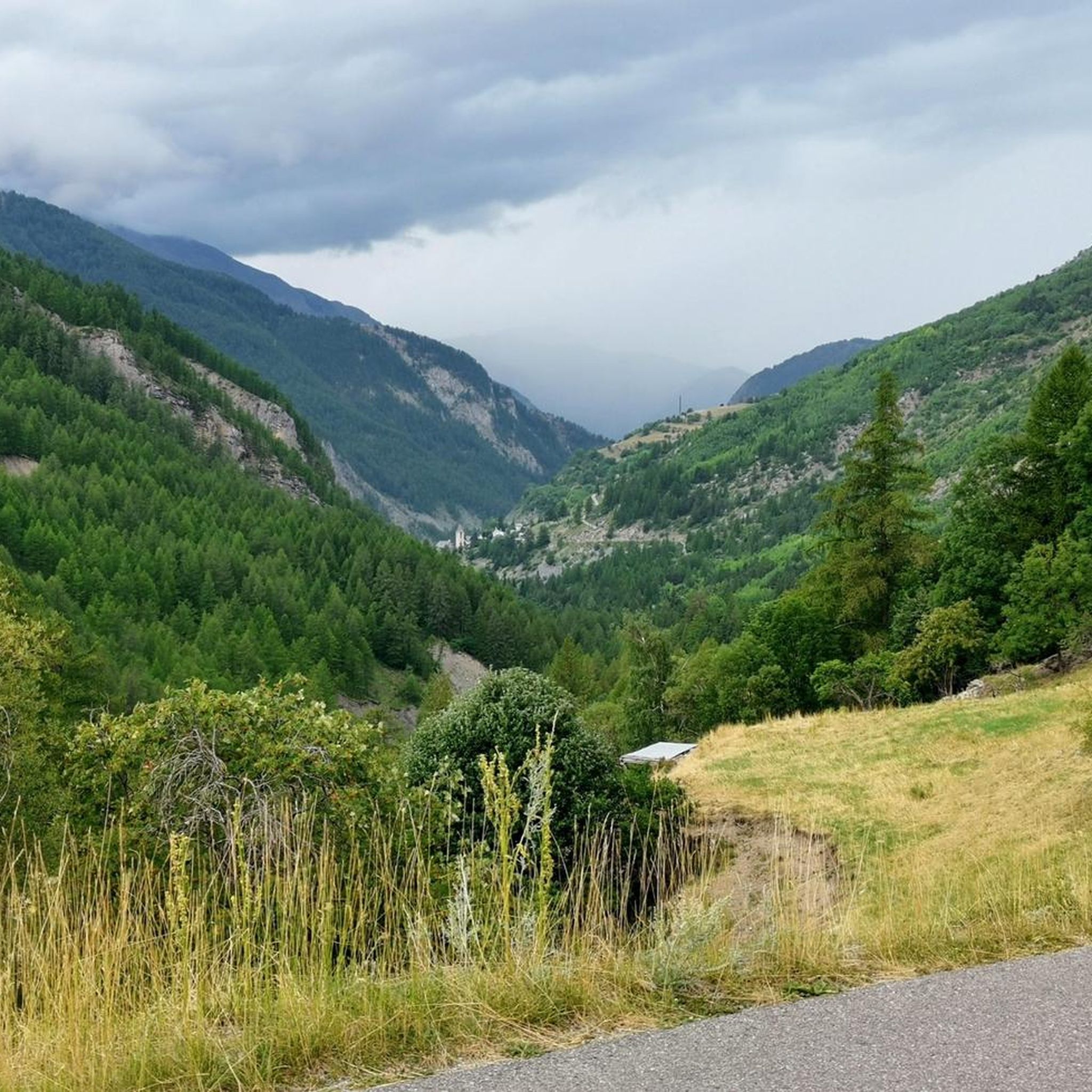
Cycling around Uvernet-Fours
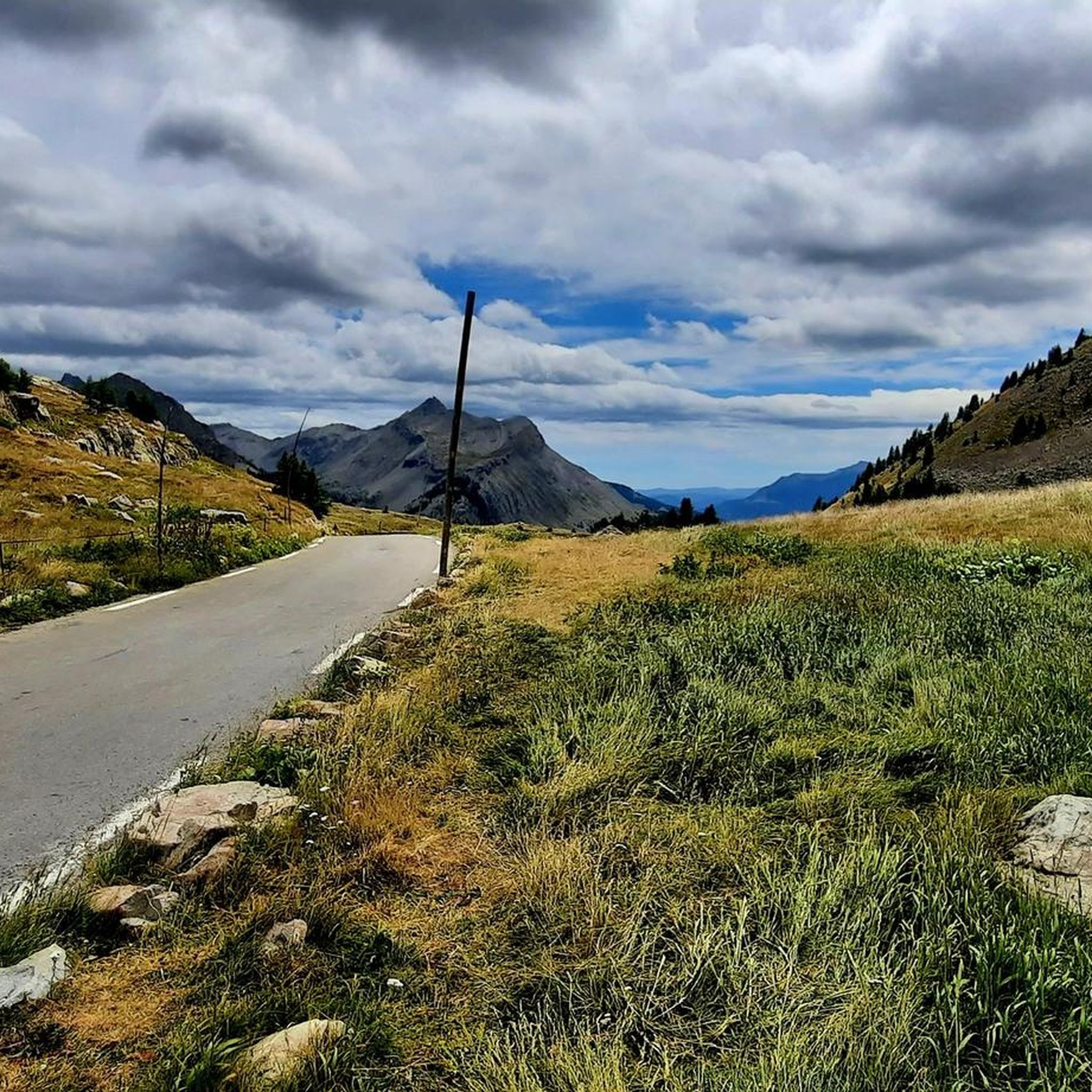
MTB Trails around Uvernet-Fours
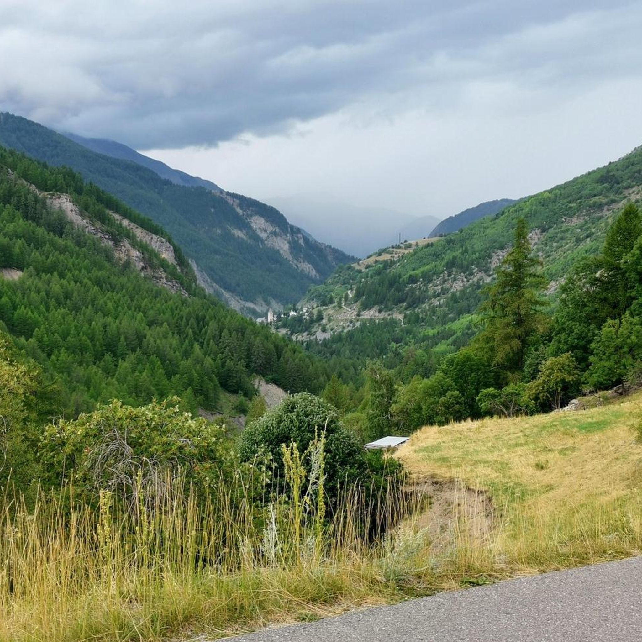
Running Trails around Uvernet-Fours

Gravel biking around Uvernet-Fours
Other adventures around Uvernet-Fours


Tips from the Community

Passage with a magnificent view of Lake Allos and arrival at the top of Pas du Lausson at 2602 m to enjoy a stunning view of the massifs. Continue towards the Col de la Petite Cayole or under a ravine (somewhat narrow and high road) you will successively discover two lakes with transparent and green water. Descent towards Lake Allos.
1
0
Surrounded by a rocky cirque, the lake offers a sumptuous panorama. The route ascends to 2,675 meters of altitude. Although it does not present major difficulties, it is essential to be well equipped and check the weather forecast.
1
0


On a great circular route from Col der la Cayole you will pass this lake
1
0

Beautiful views of the valley and the mountains from the summit of Lausson at 2,645 meters. Ibex are often found there.
1
0

Bayasse is a small hamlet of Uvernet-Fours, on the route of the Col de Col de Cayolle. Here there is a beautiful refuge; the hospitality and food are really excellent. Furthermore, it is an excellent starting point for excursions, both in summer and winter.
1
0

The Col de la Moutière is located at an altitude of 2,444 meters. There is the work of Col-de-la-Moutière, a former fortification of the Maginot line.
0
0
Bayasse is a pretty little hamlet that is part of the commune of Uvernet-Fours. In particular, there is a refuge-hotel and guest rooms.
0
0
Frequently Asked Questions
How many hiking trails are available in Uvernet-Fours?
Uvernet-Fours offers a wide selection of over 60 hiking routes. These trails cater to all fitness levels, ranging from easy strolls to challenging multi-day treks, ensuring there's an option for every outdoor enthusiast.
What kind of landscapes can I expect to see while hiking in Uvernet-Fours?
Hiking in Uvernet-Fours immerses you in breathtaking mountainous landscapes. You'll encounter diverse natural features such as dramatic limestone rocks, lush larch forests, expansive grassy meadows, and numerous high-altitude alpine lakes. The region is also characterized by impressive summits and significant mountain passes, particularly within the Mercantour National Park.
Are there any easy or beginner-friendly hiking routes in Uvernet-Fours?
Yes, Uvernet-Fours has several easy routes suitable for beginners or those looking for a relaxed walk. For example, the Stone Shelter – Lake Pra Loup loop from Uvernet is an easy 5 km trail, and the Hiking loop from Uvernet is another easy 4.2 km option.
What are some notable natural landmarks or attractions to see along the trails?
The region is rich in natural beauty. You can explore stunning alpine lakes like Lake Allos (Europe's largest natural high-altitude lake), Lacs de la Petite Cayolle, Lacs des Garrets, and Lake Sainte-Marguerite. Significant mountain passes such as Cayolle Pass, Moutière Pass, and Col de la Bonette offer remarkable panoramas. You might also spot impressive peaks like Tête de la Sestrière.
Are there any circular hiking routes available?
Yes, many trails in Uvernet-Fours are designed as circular routes, allowing you to start and end at the same point. A popular example is the Lacs de la petite Cayolle et des Garrets – loop in the heart of the Mercantour National Park, which takes you through picturesque alpine lakes. Another option is the Stone Shelter – Lac du Mercantour loop from Uvernet.
What do other hikers enjoy most about hiking in Uvernet-Fours?
The hiking routes in Uvernet-Fours are highly rated by the komoot community, with an average score of 4.5 stars from over 480 reviews. Hikers frequently praise the stunning alpine scenery, the variety of trails, and the opportunity to explore the Mercantour National Park's natural beauty.
Is Uvernet-Fours a good destination for family-friendly hikes?
Yes, Uvernet-Fours offers trails suitable for families. There are easy paths that are less strenuous and allow for a pleasant outdoor experience with children. Look for routes categorized as 'easy' in the guide for suitable options.
Can I bring my dog on the hiking trails in Uvernet-Fours?
Many trails in the Uvernet-Fours region are dog-friendly, especially those outside the strictest protected zones of Mercantour National Park. However, it's always recommended to check specific trail regulations, especially within national park boundaries, as some areas may require dogs to be on a leash or may have restrictions during certain seasons to protect wildlife.
What is the best time of year to go hiking in Uvernet-Fours?
The best time for hiking in Uvernet-Fours is typically from late spring to early autumn (June to September) when the weather is mild, and the high-altitude trails are clear of snow. During these months, you can fully enjoy the alpine lakes and mountain passes. Winter offers opportunities for snowshoeing and other winter sports, but requires different gear and experience.
Are there any cafes or places to eat near the hiking trails?
While Uvernet-Fours itself is a small commune, the nearby Pra Loup ski resort offers amenities including cafes and restaurants. For more options, the town of Barcelonnette (Barcelonnette) is a short drive away and provides a wider selection of eateries and accommodation.
Are there any specific permits required for hiking in the Mercantour National Park?
Generally, day hikes in the Mercantour National Park do not require specific permits for access. However, certain activities like bivouacking (overnight camping) or accessing specific sensitive areas might have regulations. It's always advisable to check the official Mercantour National Park website for the latest rules and guidelines before your visit, especially if planning multi-day treks.
What are the options for parking when accessing trailheads in Uvernet-Fours?
Many trailheads in the Uvernet-Fours area, especially those leading into the Mercantour National Park or to popular lakes and passes, typically have designated parking areas. These can range from small roadside pull-offs to larger car parks. It's recommended to arrive early during peak season to secure a spot.
Most popular routes around Uvernet-Fours
Most popular attractions around Uvernet-Fours

Get inspired with the komoot mobile app


Explore more
Browse the best Hikes in other regions.
