The best running trails around Uvernet-Fours
4.5
(25)
1,224
runners
22
runs
Jogging around Uvernet-Fours offers access to diverse terrain within the Ubaye Valley and Mercantour National Park. The region is characterized by majestic mountains, verdant forests, and pristine alpine environments, providing a varied backdrop for running. Runners can experience different surfaces, from accessible paths to more rugged trails, often featuring significant elevation changes. This area is ideal for those seeking both physical exertion and immersion in nature.
Best jogging routes around Uvernet-Fours
- The most popular jogging route is Pra-Loup to Clos…
Last updated: June 29, 2026
Moderate run. Good fitness required. Mostly accessible paths. Some sure footedness required.
93
runners
9.59km
01:03
80m
80m
Moderate run. Good fitness required. Mostly paved surfaces. Suitable for all skill levels.

Sign up for free
39
runners
6.49km
00:45
230m
230m
Moderate run. Good fitness required. Mostly paved surfaces. Suitable for all skill levels.
18
runners
11.8km
02:01
690m
690m
Hard run. Very good fitness required. Sure-footedness, sturdy shoes and alpine experience required.
30
runners
Moderate run. Good fitness required. Mostly paved surfaces. Suitable for all skill levels.
Get access to more routes and recommendations from other explorers.
Sign up for free
Already have an account?
Our route recommendations are based on thousands of hikes, rides, and runs completed by other people on komoot.
Start today with a free account
Your next adventure awaits.
Login or Signup
Popular around Uvernet-Fours
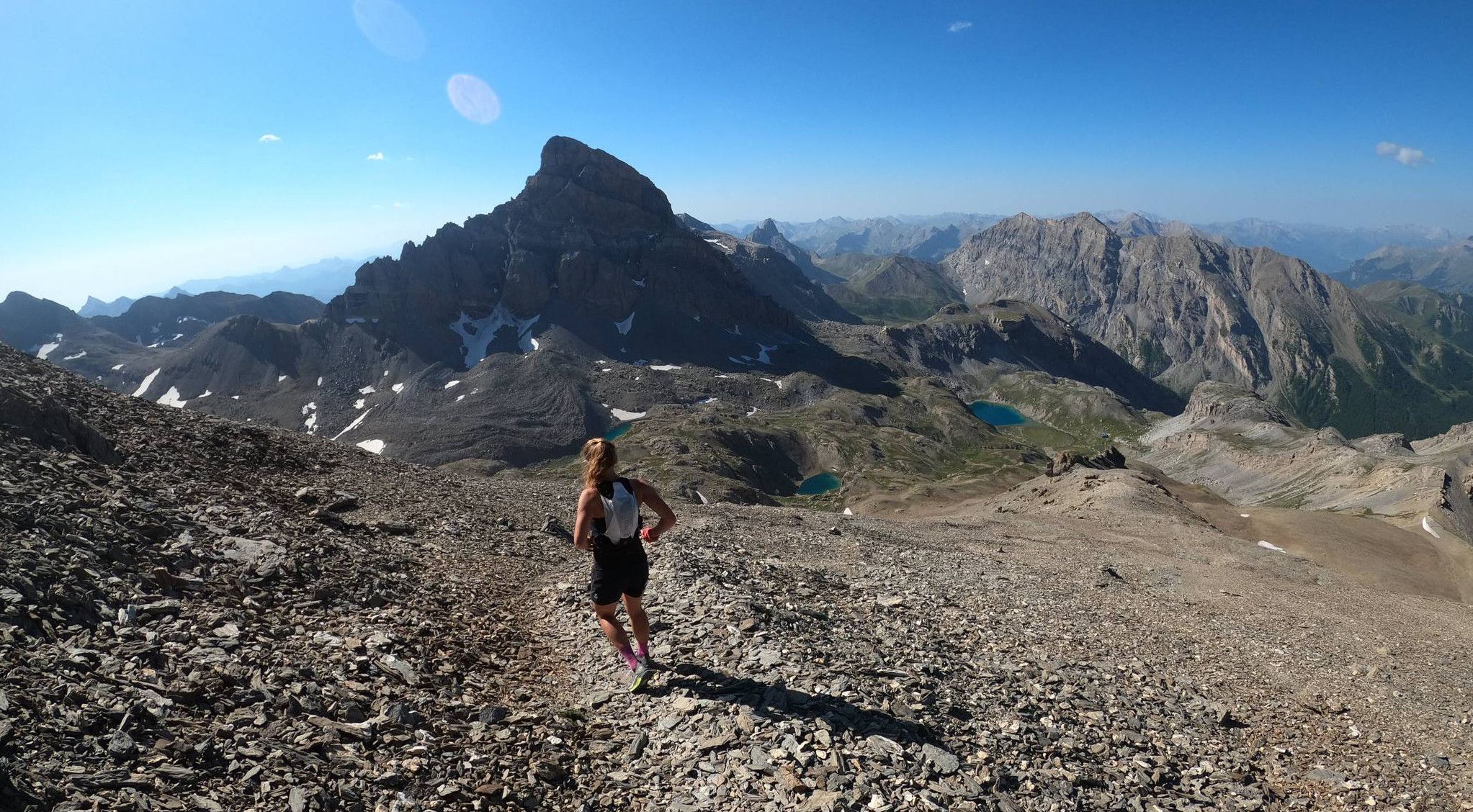
Trail running in the mountain peaks from Barcelonnette

Transalps MTB – Chamonix to the Mediterranean Sea
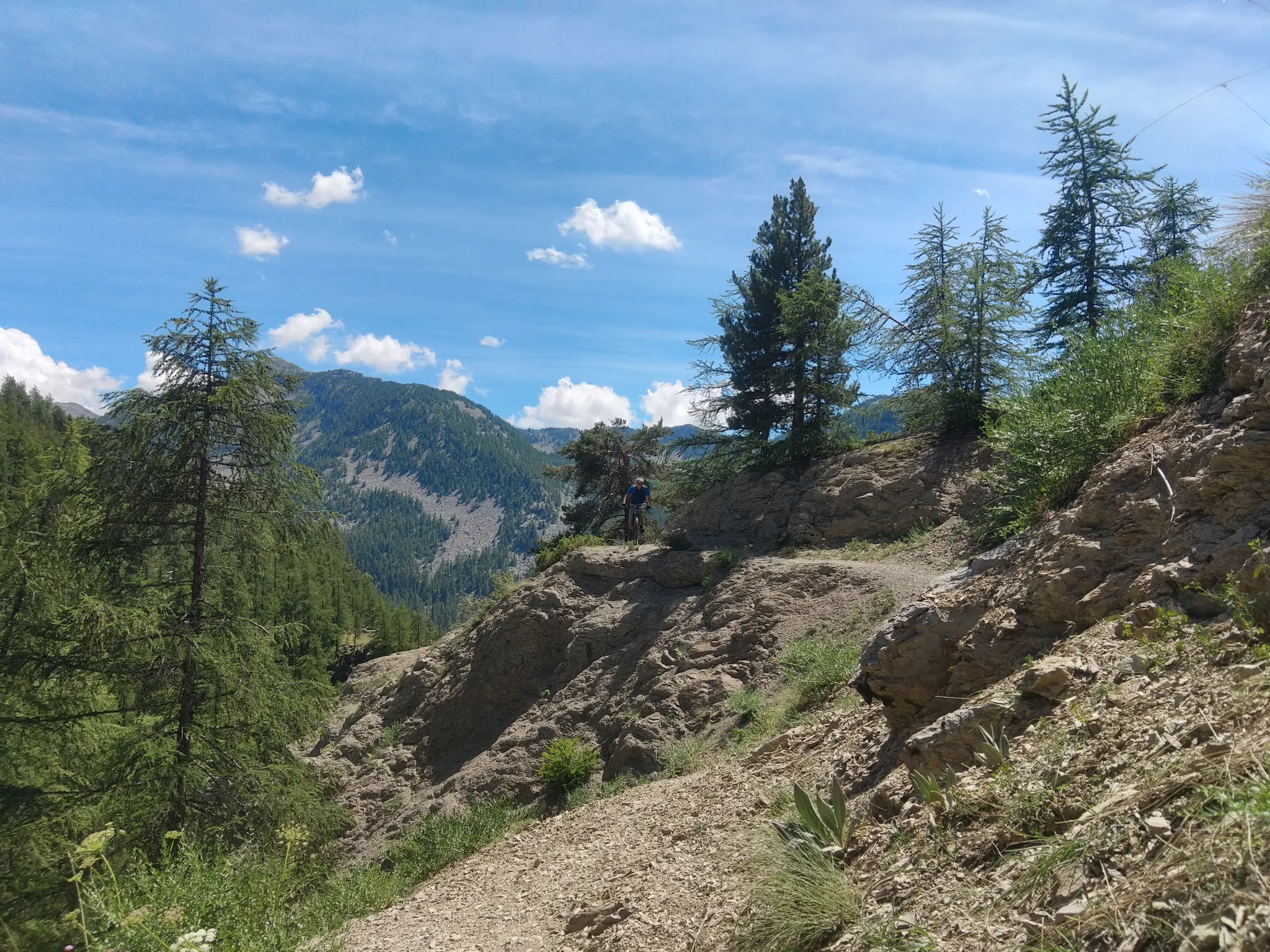
In the shadow of Europe's largest canyon – the TransVerdon

Mountains and marmots — France’s Ubaye trail (GR 56)

MigrAction – Generations in Motion
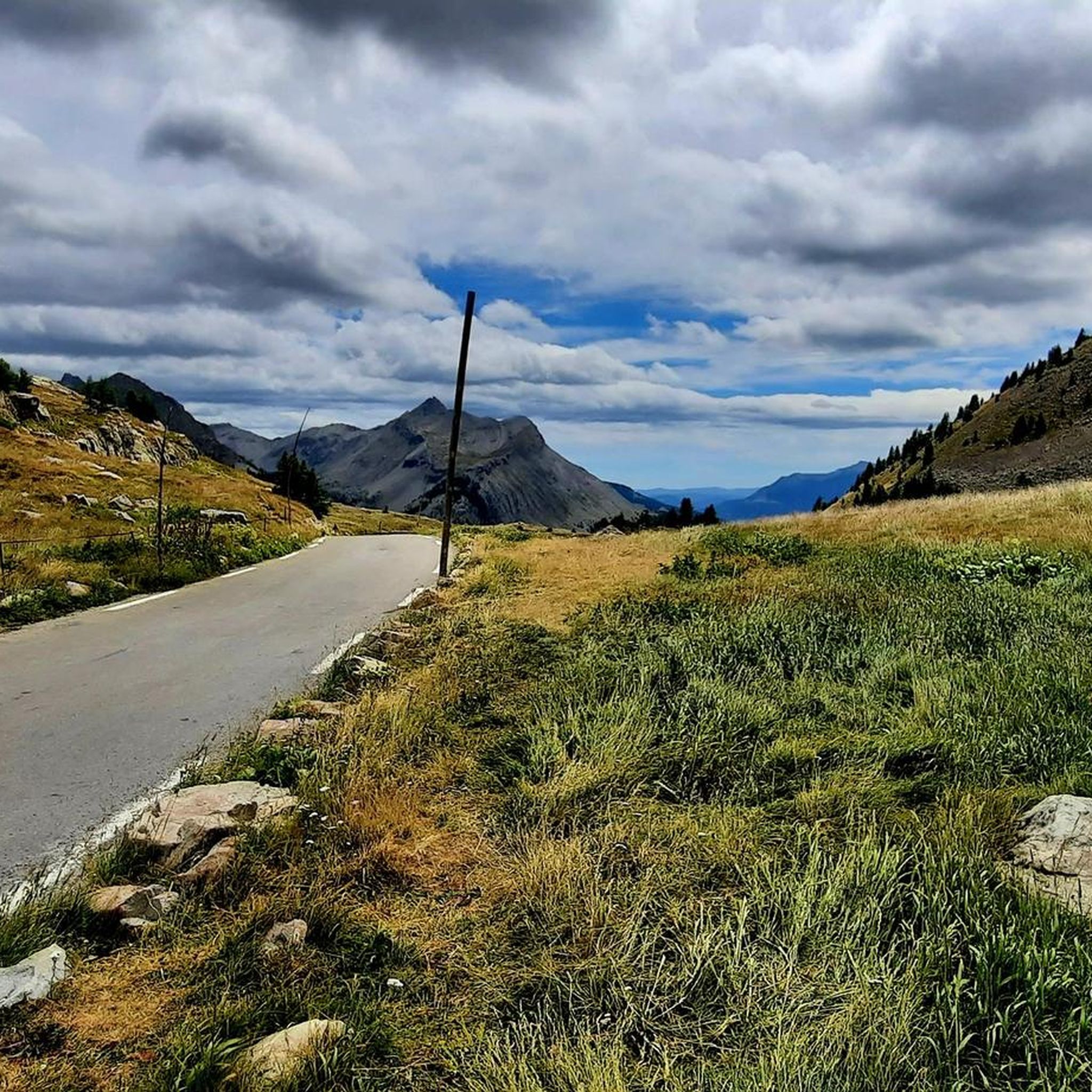
Road Cycling Routes around Uvernet-Fours
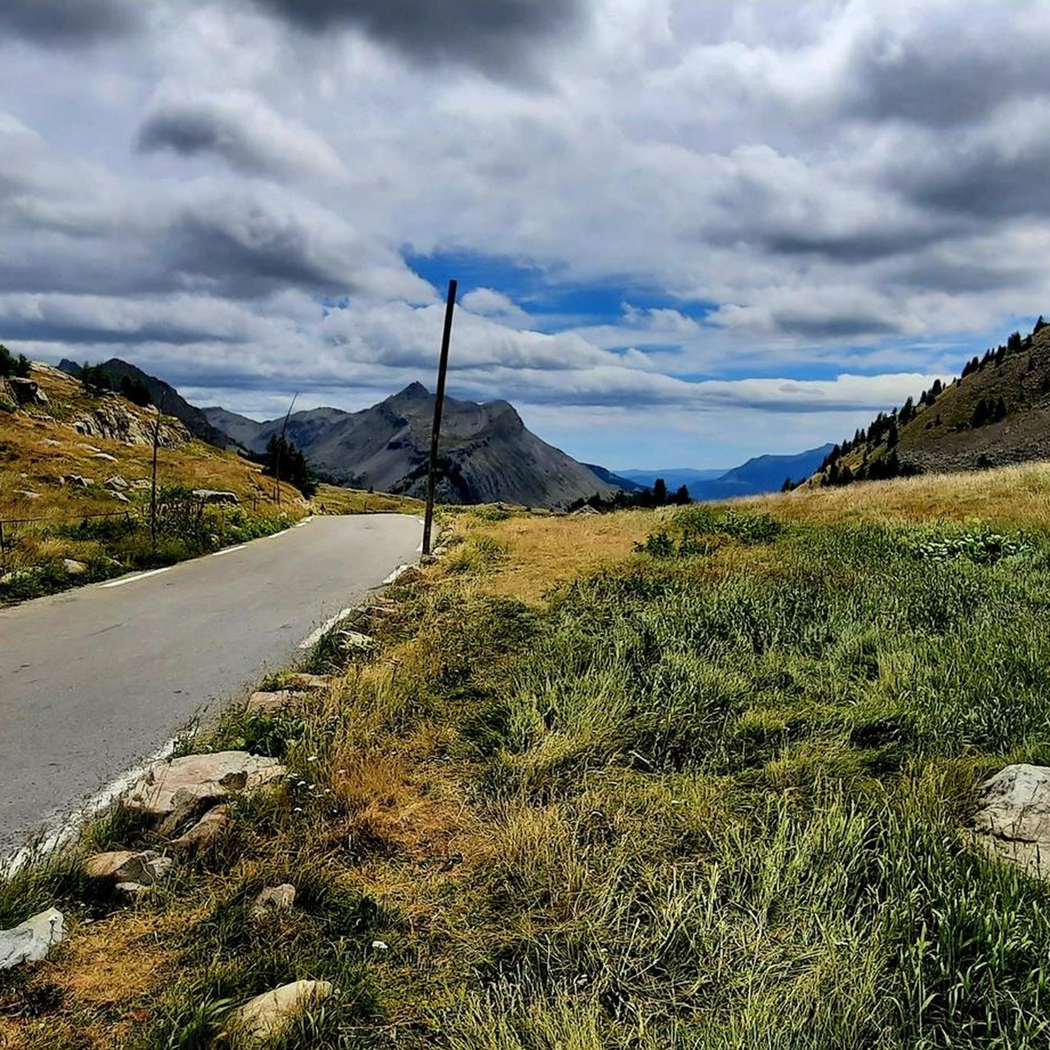
Hiking around Uvernet-Fours
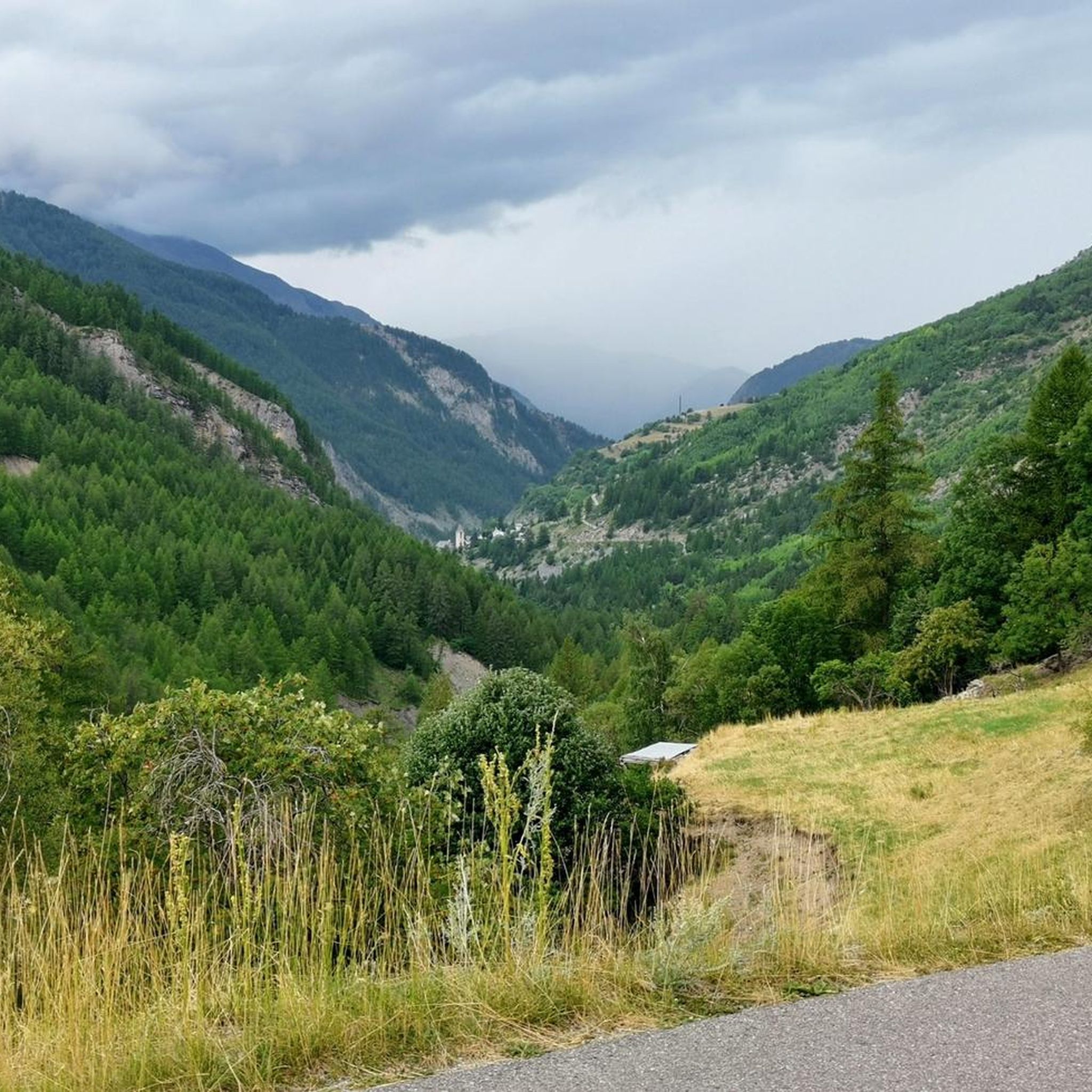
Cycling around Uvernet-Fours
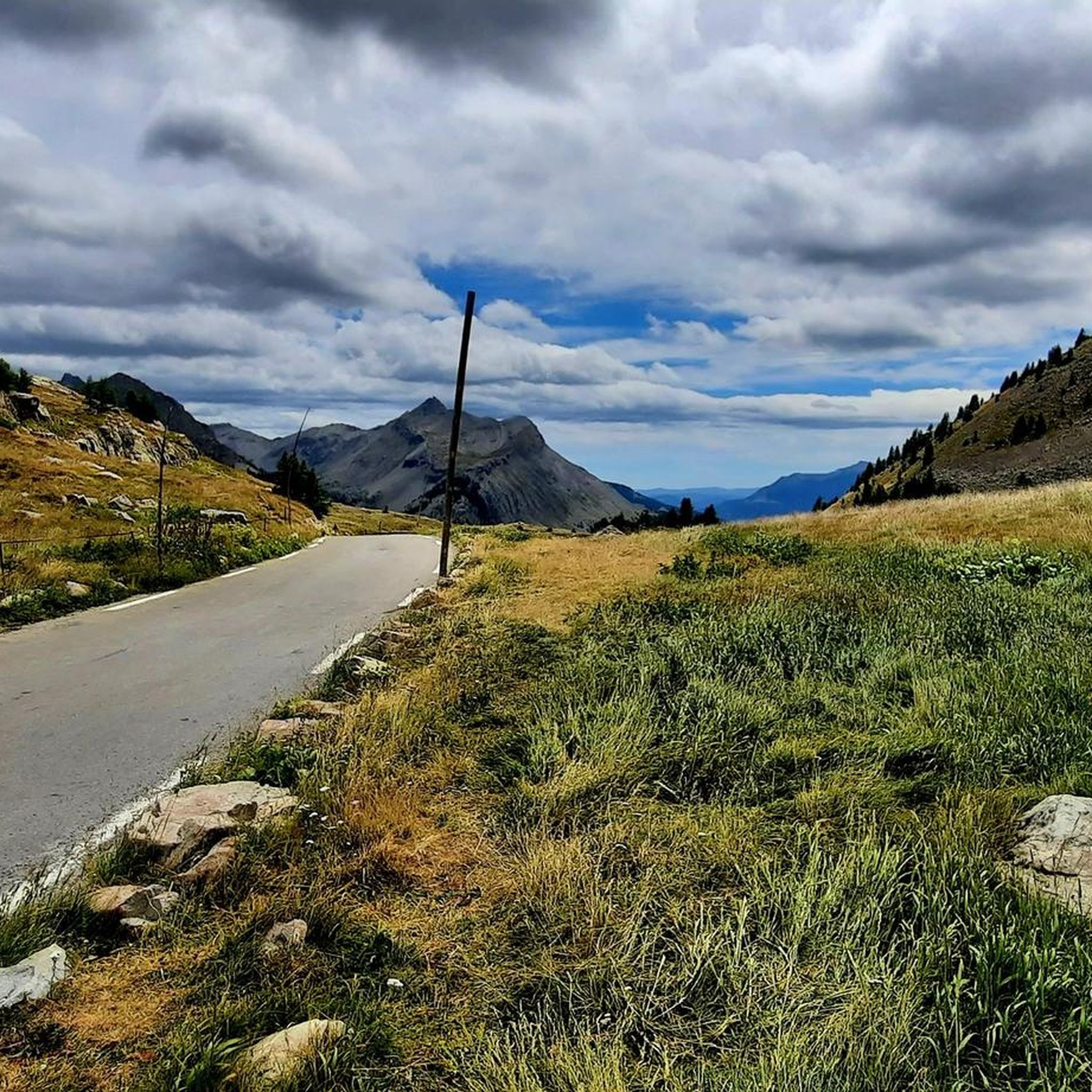
MTB Trails around Uvernet-Fours

Gravel biking around Uvernet-Fours
Other adventures around Uvernet-Fours


Tips from the Community

Pra-Loup is a ski resort in the Southern Alps at an altitude of 1600m.
0
0
Nice path between Pra-Loup and Molanès through the forest. Beautiful views of the Ubaye and Bachelard valleys.
1
0

Very wonderful path partly on the water
0
0
Frequently Asked Questions
What kind of running routes can I find around Uvernet-Fours?
Uvernet-Fours offers a diverse range of running routes, from accessible paths to more rugged mountain trails. The region, nestled in the Ubaye Valley and Mercantour National Park, features majestic mountains, verdant forests, and pristine alpine environments. You'll find options for various fitness levels, including routes with significant elevation changes for a challenging workout.
How many running trails are available in the Uvernet-Fours area?
There are over 20 running trails documented around Uvernet-Fours on komoot. These include 1 easy route, 9 moderate routes, and 12 difficult routes, ensuring a suitable option for every runner.
Are there any circular running routes in Uvernet-Fours?
Yes, several circular running routes are available. For example, the Pra-Loup to Clos du Serre - loop trail in the heart of Mercantour National Park is a moderate 2.5-mile loop. Another popular option is the Pra-Loup Ski Resort loop from Uvernet, which is a 4-mile moderate trail.
What natural attractions can I see while jogging in Uvernet-Fours?
The region is rich in natural beauty. You can encounter stunning mountain passes like Cayolle Pass and Col de la Bonette, offering breathtaking panoramic views. The area also features picturesque alpine lakes such as Lac d'Allos, the largest natural high-altitude lake in Europe, and the scenic Lacs de Prals.
Are there any challenging running routes for experienced trail runners?
Absolutely. Uvernet-Fours is known for its challenging mountain trails. There are 12 difficult routes available, many featuring significant elevation gains and rugged terrain. An example is the Between Pra-Loup and Molanès loop from Pra-Loup 1600, a demanding 7.4-mile route with over 700 meters of elevation gain.
What do other runners say about the trails in Uvernet-Fours?
The running routes in Uvernet-Fours are highly rated by the komoot community, with an average score of 4.6 stars from more than 20 reviews. Over 1000 runners have used komoot to explore the varied terrain, often praising the stunning alpine scenery and the diverse range of trail difficulties.
Can I find running routes that start directly from Uvernet-Fours?
Yes, you can. The Running loop from Uvernet is a popular moderate 6-mile path that provides a convenient starting point directly from the village, offering a great way to explore the local area.
Are there any historical or cultural points of interest along the running routes?
Beyond the natural beauty, some routes may offer glimpses into the region's heritage. For instance, the area includes sites like the Camp des Fourches military camp. The charming town of Barcelonnette, just 4 km away, also provides an attractive urban center to explore after your run.
What kind of terrain can I expect on the running trails?
You'll experience a variety of terrain, from easily accessible paths through forests and alpine pastures to more rugged, technical trails that demand sturdy shoes and alpine experience. This diversity allows for training on mixed surfaces and gradients, enhancing your running skills and physical preparedness.
Are dogs allowed on the running trails in Uvernet-Fours?
While many trails in the Ubaye Valley are dog-friendly, it's important to note that Uvernet-Fours borders the Mercantour National Park. Dogs are generally not permitted, even on a leash, within the core zone of the National Park to protect wildlife. Always check specific trail regulations, especially when running near or within protected areas.
Are there any easy running routes suitable for beginners or a relaxed jog?
Yes, there is at least 1 easy route available, and several moderate options that can be enjoyed at a relaxed pace. These trails typically feature less elevation gain and smoother surfaces, making them ideal for beginners or those looking for a less strenuous run.
What is the best time of year for jogging in Uvernet-Fours?
The best time for jogging in Uvernet-Fours is generally from late spring to early autumn (May to October), when the weather is milder and the high mountain passes are clear of snow. Summer offers lush landscapes, while spring and autumn provide cooler temperatures and vibrant colors. Winter running is possible but often requires specialized gear for snow and ice, especially on higher trails.
Most popular routes around Uvernet-Fours
Most popular attractions around Uvernet-Fours

Get inspired with the komoot mobile app


Explore more
Browse the best Running Trails & Routes in other regions.
