The best running trails around Mont-Dauphin
4.5
(47)
1,774
runners
116
runs
Jogging around Mont-Dauphin offers a unique experience within a UNESCO World Heritage site, situated on a rocky plateau at 1,050 meters altitude. The region is characterized by its fortified village, designed by Vauban, which provides elevated paths along ramparts with panoramic views of the surrounding Hautes-Alpes mountains. Runners can explore routes overlooking the Durance and Guil rivers, with vistas extending towards the Queyras mountains and Écrins glaciers. The diverse terrain includes riverside paths, trails around natural features like ponds, and…
Last updated: July 1, 2026
4.3
(3)
120
runners
15.6km
01:40
110m
110m
Hard run. Very good fitness required. Mostly paved surfaces. Suitable for all skill levels.
5.0
(1)
36
runners
8.90km
01:06
280m
280m
Moderate run. Good fitness required. Mostly paved surfaces. Suitable for all skill levels.

Sign up for free
5.0
(1)
25
runners
12.2km
01:21
150m
150m
Moderate run. Good fitness required. Mostly paved surfaces. Suitable for all skill levels.
4.3
(3)
18
runners
5.02km
00:36
90m
90m
Hard run. Good fitness required. Sure-footedness, sturdy shoes and alpine experience required.
23
runners
8.25km
00:52
30m
30m
Moderate run. Good fitness required. Mostly paved surfaces. Suitable for all skill levels.
Get access to more routes and recommendations from other explorers.
Sign up for free
Already have an account?
Our route recommendations are based on thousands of hikes, rides, and runs completed by other people on komoot.
Start today with a free account
Your next adventure awaits.
Login or Signup
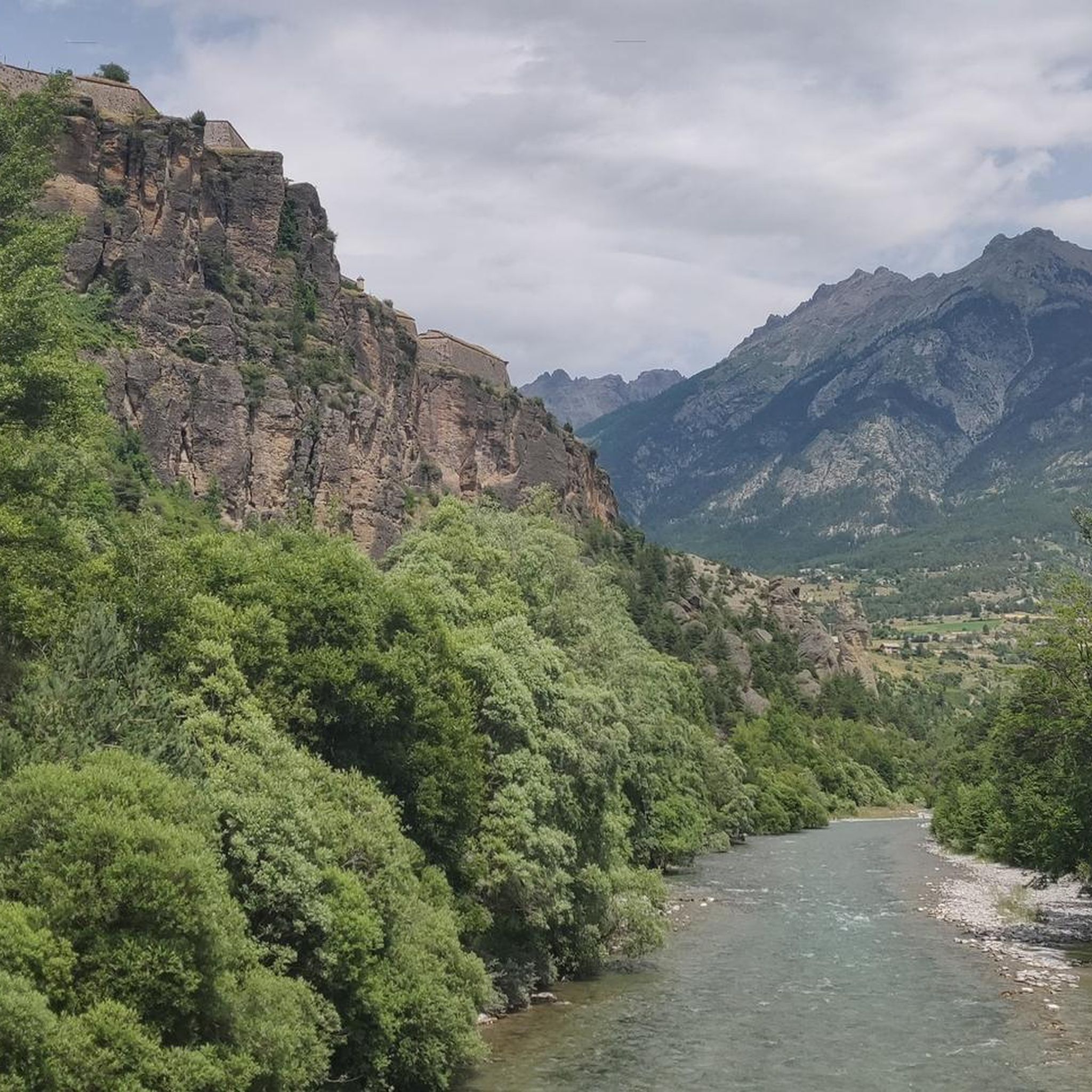
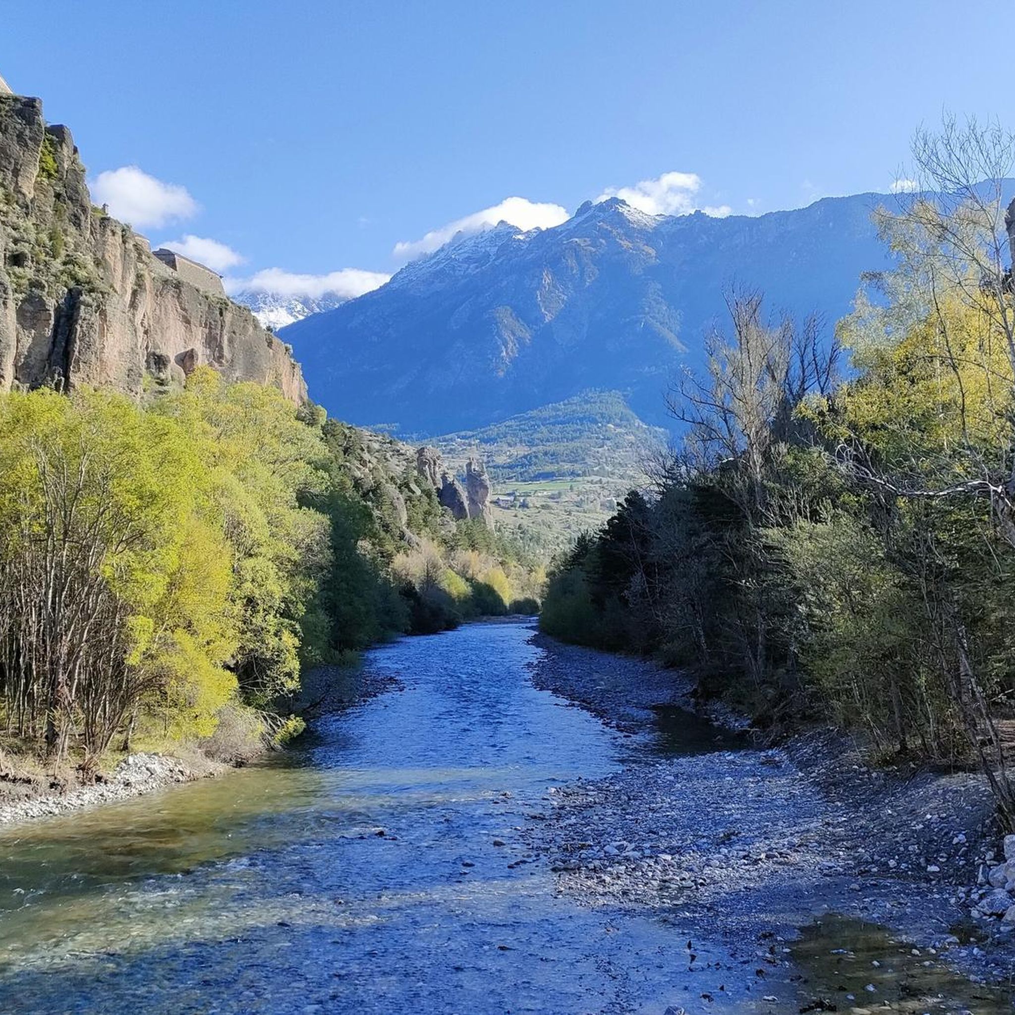
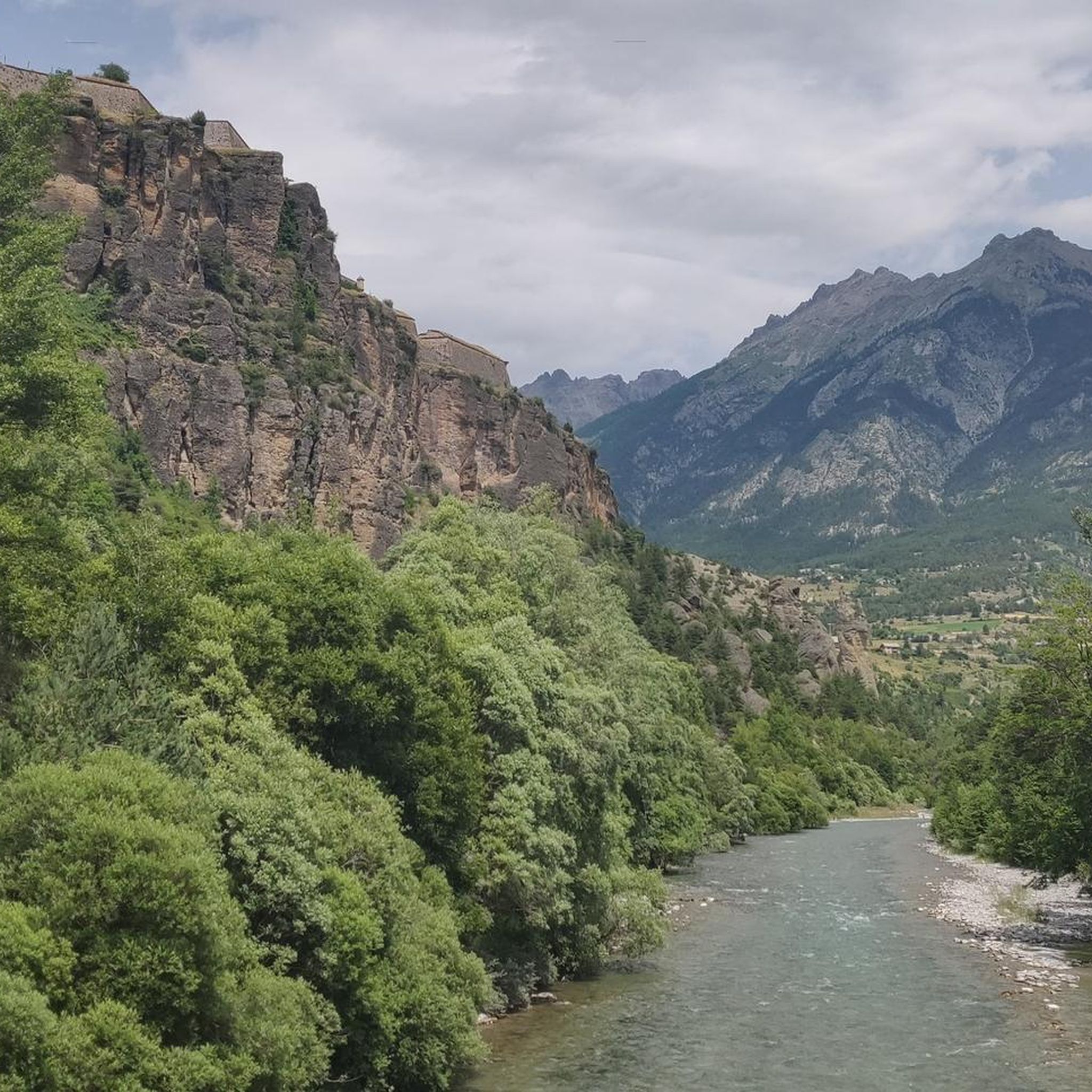
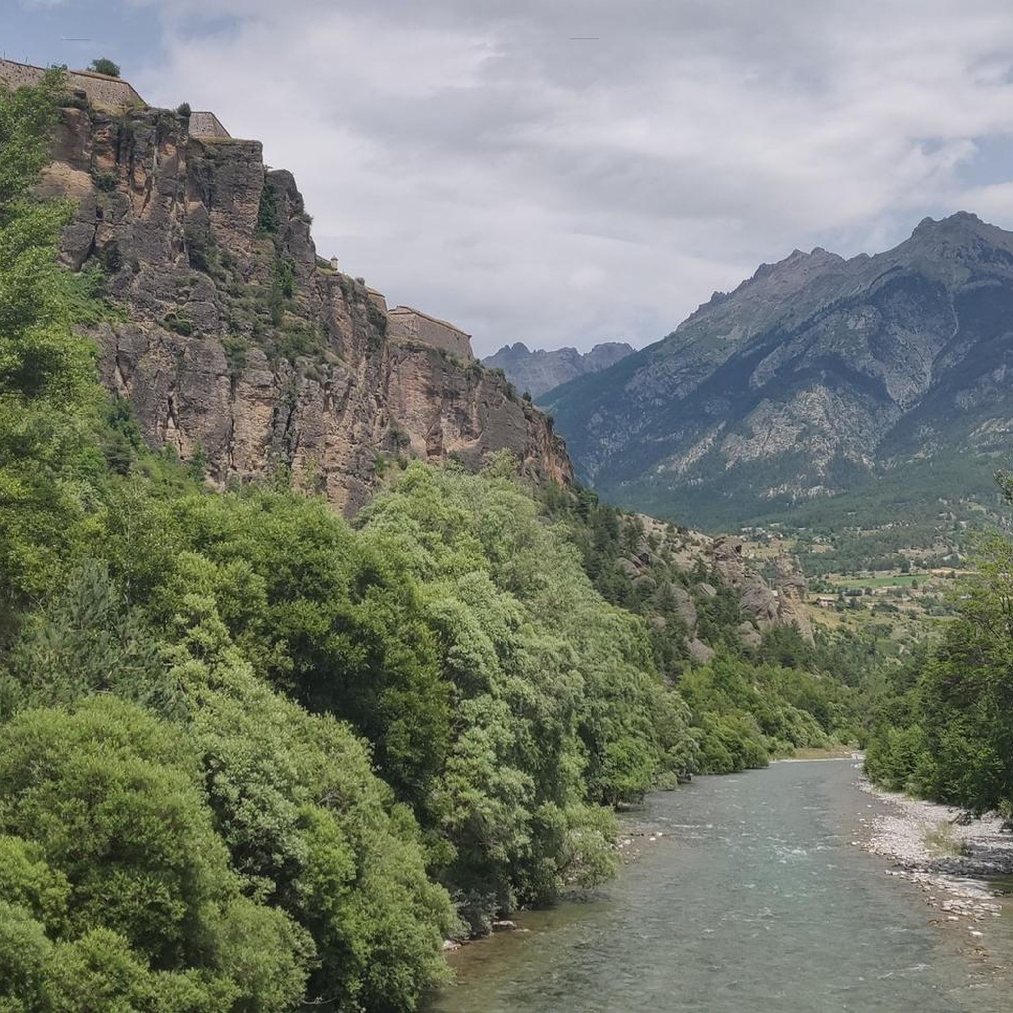
Tips from the Community

Beautiful landscapes on the Via Domizia
0
0

To be visited via the white road that runs at the foot of Mont Dauphin
0
0

Run in the shade of trees, nice on a hot summers day.
0
0

Incredible and unobstructed view of Mont Dauphin! Typical landscape of the Hautes-Alpes, in splendor!
0
0

Leisure center accessible free of charge and where it is possible to swim. Two restaurants on the banks and numerous shaded picnic spots.
1
0

323 km long, the Durance is the most important river in Provence. From here there are beautiful views of the river and the mountains.
0
0

A nice and flat place to take a break. Either by going around the body of water or on the asphalt road. All at 900m altitude.
0
0

Great for a short break, but swimming is prohibited
0
0
Frequently Asked Questions
How many running routes are available around Mont-Dauphin?
There are over 100 running routes available around Mont-Dauphin, catering to various fitness levels. These include a mix of easy, moderate, and challenging trails, allowing you to explore the unique landscapes of the Hautes-Alpes.
Are there easy running trails suitable for beginners or families in Mont-Dauphin?
Yes, Mont-Dauphin offers several easy running trails. While the guide highlights more challenging options, there are 5 routes classified as easy. The historic fortifications themselves offer gentle paths, and the "Sentier des Marmottes" is noted as an easy walk that could be adapted for a light jog, especially for families.
Can I find circular jogging routes in Mont-Dauphin?
Absolutely. Many of the running routes around Mont-Dauphin are circular, allowing you to start and finish in the same location. A popular choice is the View of Mont-Dauphin – Rue des Masques loop from Mont-Dauphin, which is 5.0 km long and offers direct views of the fortified village.
What kind of views can I expect on the running trails in Mont-Dauphin?
Jogging routes in Mont-Dauphin offer breathtaking panoramic views. From the fortified village, you'll see the confluence of the Durance and Guil rivers, the majestic Queyras mountains, and even the distant Écrins glaciers. Many trails, especially those along the ramparts, provide unobstructed vistas of the surrounding Hautes-Alpes landscape.
Are there any running routes that explore the historic fortifications of Mont-Dauphin?
Yes, the very architecture of Mont-Dauphin, a UNESCO World Heritage site, provides unique running opportunities. You can jog along the ramparts and bastions of the Vauban fortress, offering elevated paths with fantastic panoramic views and a direct connection to the area's rich history. The View of Mont-Dauphin – Rue des Masques loop is an excellent example of a route that incorporates these historic elements.
What do other runners say about the jogging routes in Mont-Dauphin?
The running routes in Mont-Dauphin are highly rated by the komoot community, with an average score of 4.4 stars from over 40 reviews. More than 1900 runners have used komoot to explore the varied terrain, often praising the unique combination of historical sites and stunning natural scenery.
Are there any running routes near water, like rivers or lakes?
Yes, the region offers beautiful running experiences near water. The The Durance – Path along the Durance loop from Montdauphin-Guillestre follows the Durance river, providing scenic waterside running. Additionally, the Eygliers Pond loop from Montdauphin-Guillestre takes you through varied terrain around a picturesque pond.
Can I bring my dog on the running trails around Mont-Dauphin?
While many outdoor trails in the Hautes-Alpes are dog-friendly, it's always best to check specific local regulations for each route or protected area. Generally, dogs are welcome on leash on most public paths. Ensure your dog is well-behaved and that you clean up after them to preserve the natural beauty of the region.
What are some notable natural attractions or landmarks I might see while running near Mont-Dauphin?
Beyond the fortifications, you can encounter several natural and historical landmarks. The region is close to the Gorges du Guil and the Guillestre Town Center. For those interested in lakes, Eygliers Lake and Lake Peyrol are also within reach, offering serene views.
Are there any challenging long-distance running routes for experienced runners?
Yes, Mont-Dauphin offers several challenging routes for experienced runners. For instance, the Running loop from Montdauphin-Guillestre is a difficult 24.7 km trail with significant elevation changes, providing a substantial workout amidst stunning mountain scenery.
What is the best time of year for jogging in Mont-Dauphin?
Mont-Dauphin is suitable for outdoor activities year-round. Spring and autumn offer pleasant temperatures and vibrant scenery, ideal for jogging. Summer provides longer daylight hours, though some exposed routes can be warm. Winter running is possible, especially on lower-altitude paths, but requires appropriate gear for potentially snowy or icy conditions.
Are there any running routes that offer views of the wider mountain ranges like Queyras or Écrins?
Many routes from Mont-Dauphin provide extensive views of the surrounding mountain ranges. Due to its elevated position, the fortified village itself offers incredible, unobstructed panoramas over the majestic Queyras mountains and the Écrins glaciers, making almost any route starting from or passing through Mont-Dauphin a scenic experience.
Most popular routes around Mont-Dauphin
Most popular attractions around Mont-Dauphin

Get inspired with the komoot mobile app


Explore more
Browse the best Running Trails & Routes in other regions.
