The best cycling routes around Mont-Dauphin
4.5
(236)
5,553
riders
101
rides
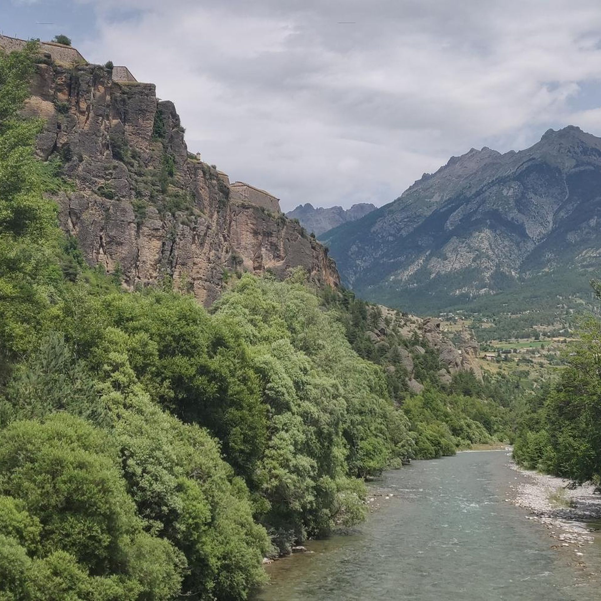
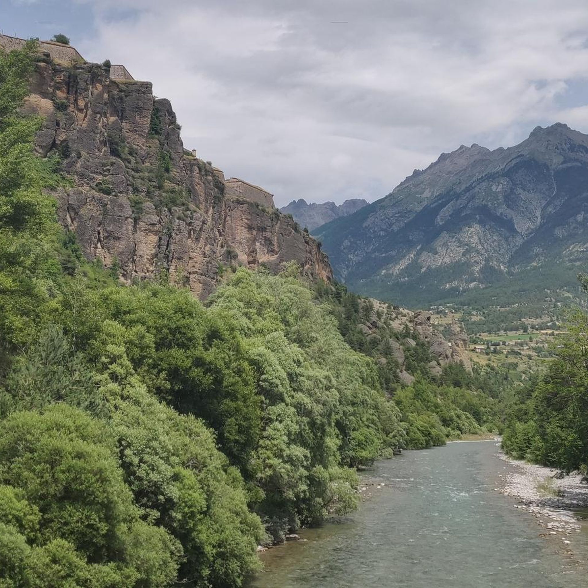
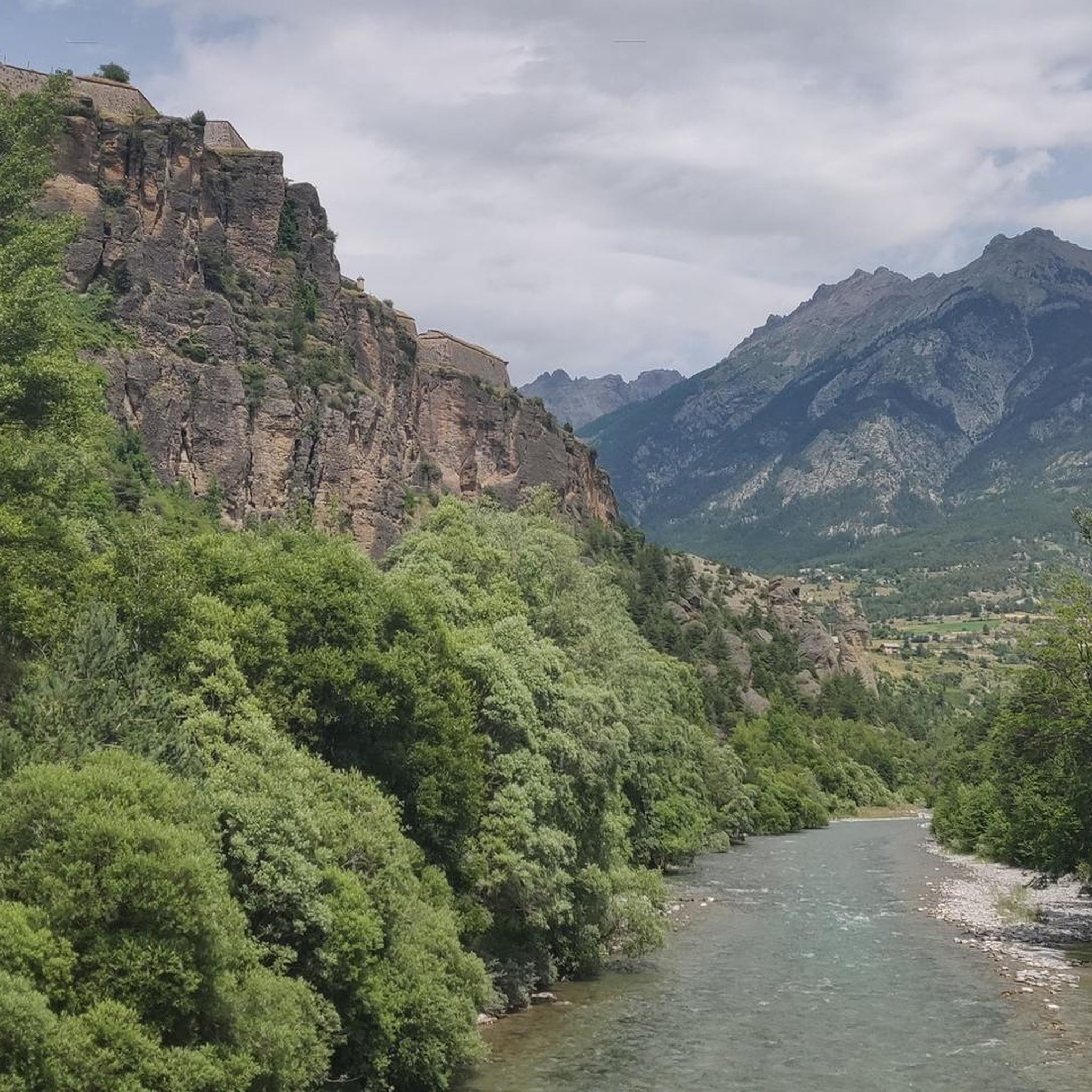
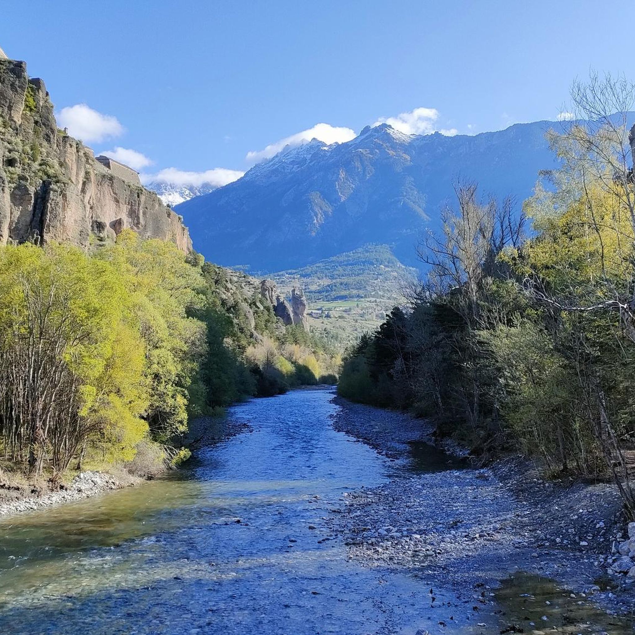
Touring cycling routes around Mont-Dauphin are set within the Hautes-Alpes department, a region characterized by dramatic valleys, high mountain ranges, and a fortified village perched at 1,050 meters. The area offers diverse terrain for cyclists, from routes along the Durance and Guil rivers to climbs overlooking the Queyras mountains and Écrins massif. Cyclists can explore historical fortifications and enjoy panoramic views over the confluence of the Guil and Durance valleys.
Best touring cycling routes around Mont-Dauphin
- The most popular touring…
Last updated: July 1, 2026
4.6
(8)
23
riders
Easy bike ride. Great for any fitness level. Mostly paved surfaces. Suitable for all skill levels.
4.9
(13)
729
riders
85.1km
06:45
2,420m
2,420m
Hard bike ride. Very good fitness required. Mostly paved surfaces. Suitable for all skill levels.

Sign up for free
4.5
(61)
672
riders
Hard bike ride. Very good fitness required. Mostly paved surfaces. Suitable for all skill levels.
4.6
(5)
355
riders
92.1km
06:57
2,270m
2,270m
Hard bike ride. Very good fitness required. Mostly paved surfaces. Suitable for all skill levels.
5.0
(2)
98
riders
52.5km
03:37
910m
910m
Hard bike ride. Very good fitness required. You may need to push your bike for some segments of this route.
Get access to more routes and recommendations from other explorers.
Sign up for free
Already have an account?
Our route recommendations are based on thousands of hikes, rides, and runs completed by other people on komoot.
Start today with a free account
Your next adventure awaits.
Login or Signup
Tips from the Community

From here you can enjoy a breathtaking view, both towards Italy and France. Unfortunately, I caught it during roadwork and resurfacing, but I'd be curious to see it once it's finished.
0
0

Châteauroux, the capital of the Indre, was founded around 937 AD when Raoul the Fat, Lord of Déols, built Château Raoul on the left bank of the Indre, the name from which the city derives. Developing as a center of craftsmanship, it was contested during the Hundred Years' War, becoming an important capital in the 19th century with industrialization and the construction of the railway.
4
0

Colle dell'Agnello (2,744 meters above sea level - Col Agnel in French; Còl dl'Agnél in Piedmontese) is an Alpine pass in the Cottian Alps (Monviso Alps), as well as the second-highest road pass in Italy and the third-highest in Europe [N 2], preceded only by the Colle dell'Iseran [N 3] in the French Alps and the Stelvio Pass in the Ortler Alps. Located southwest of Monviso, between Pan di Zucchero and Punta dell'Alp, it connects Italy to France from the Piedmontese municipality of Pontechianale to the French municipality of Molines-en-Queyras in the Hautes-Alpes department [N 4]. It was inaugurated in 1973 by expanding a pre-existing dirt military road; It has been a transit point for several stages of the Giro d'Italia and the Tour de France and a popular destination for summer camps for amateur astronomers, offering one of the observation sites with the darkest, most pristine sky and accessible by normal vehicles.
0
0
Just before the summit is this beautiful refuge.
16
0


Small mountain village at the foot of the Colle dell'Ambe.
0
0

Excellent alternative to avoid the departmental road.
1
0

The Saint-Clément church, located in the Hautes-Alpes, is a remarkable historic site. Perched on a hill, it offers panoramic views of the Alpine region. This medieval castle, dating from the 13th century, bears witness to the architecture and life of the time. Its stone walls, towers and moats tell a fascinating story of the past.
0
0
Frequently Asked Questions
How many touring cycling routes are available around Mont-Dauphin?
There are over 100 touring cycling routes available around Mont-Dauphin, offering a wide range of options for different skill levels and preferences. The komoot community has explored more than 7,800 of these routes.
What kind of terrain can I expect on touring cycling routes near Mont-Dauphin?
The terrain around Mont-Dauphin is incredibly diverse. You'll find routes along dramatic river valleys like the Durance and Guil, as well as climbs into the surrounding mountain ranges, including views of the Queyras and Écrins massifs. While many routes are paved, some more challenging rides may include unpaved segments. The fortified village itself is perched on a rocky promontory, offering unique historical exploration.
What is the best time of year for touring cycling in the Mont-Dauphin region?
The Hautes-Alpes department, where Mont-Dauphin is located, benefits from a dry and sunny Mediterranean climate year-round, making it a pleasant destination in any season. However, for mountain passes, July and August are particularly good, with some passes even reserved exclusively for cyclists during certain times. Spring and autumn offer milder temperatures and beautiful scenery.
Are there touring cycling routes suitable for beginners or less experienced cyclists in Mont-Dauphin?
Yes, there are several easy touring cycling routes around Mont-Dauphin. For instance, the Mont-Dauphin and hot springs of the plan de Phazy - loop at the gates of the Queyras regional natural park is an easy 15.5 km loop that takes about an hour to complete, perfect for a relaxed ride near the Queyras regional natural park.
What are some challenging touring cycling routes for experienced riders near Mont-Dauphin?
Experienced cyclists seeking a challenge will find plenty of options. The View of Embrun – The Balconies of the Durance loop from Montdauphin-Guillestre is a difficult 48.8 km route with significant elevation gain. The region is also close to legendary Tour de France climbs like Galibier, Izoard, and Lautaret for those looking for epic adventures.
What historical sites or landmarks can I explore while cycling around Mont-Dauphin?
Mont-Dauphin itself is a UNESCO World Heritage site, a fortified village designed by Vauban, where you can explore ramparts, barracks, and an arsenal. Bicycles are allowed inside the village. Additionally, you can find natural landmarks like the Gorges du Guil, known for their spectacular scenery, and viewpoints such as The Balconies of the Durance.
Are there any scenic natural features or lakes to see on touring cycling routes?
Absolutely. The region is rich in natural beauty. You can cycle along the Durance and Guil rivers, through the dramatic Guil Gorges, and enjoy panoramic views of the Queyras mountains and Écrins massif. Nearby, Lake Serre-Ponçon is a significant attraction, and other beautiful lakes like Lake Peyrol and Eygliers Lake are also accessible.
Are there family-friendly touring cycling options around Mont-Dauphin?
Yes, Mont-Dauphin offers options suitable for families. Beyond the easy cycling routes, the nearby "Sentier des Marmottes" is an easy 1.5-hour walk near the fortress, perfect for families to spot marmots in spring and summer, which can be combined with a shorter bike ride.
Are there circular touring cycling routes available in the Mont-Dauphin area?
Yes, many touring cycling routes around Mont-Dauphin are designed as loops. For example, the challenging The Balconies of the Durance – View of Lake Serre-Ponçon loop from Montdauphin-Guillestre is a 132.3 km circular trail offering stunning views. There are also shorter loops like the easy route to the hot springs of Plan de Phazy.
What do other touring cyclists enjoy the most about touring cycling in Mont-Dauphin?
The touring cycling routes around Mont-Dauphin are highly rated by the komoot community, with an average score of 4.5 stars from over 260 reviews. Cyclists often praise the dramatic river valleys, the stunning mountain backdrops, and the unique historical fortified landscapes. The diversity of routes, catering to various ability levels from easy loops to challenging mountain passes, is also a frequently highlighted aspect.
Is it possible to access touring cycling routes near Mont-Dauphin using public transport?
Mont-Dauphin is a strategic location at the confluence of the Guil and Durance valleys. While specific public transport details for accessing trailheads vary, the village itself is a central point. It's advisable to check local bus or train schedules for connections to Mont-Dauphin and surrounding towns to plan your cycling adventures.
Are there places to park my car when starting a touring cycling route in Mont-Dauphin?
Yes, Mont-Dauphin, being a popular tourist destination and a UNESCO site, offers parking facilities. You can typically find parking within or near the fortified village, which serves as an excellent starting point for many cycling routes. It's always a good idea to arrive early during peak season to secure a spot.
Can I find accommodation and places to eat near the touring cycling routes in Mont-Dauphin?
Mont-Dauphin and the surrounding towns like Guillestre offer various accommodation options, from hotels and guesthouses to campsites. You'll also find cafes, restaurants, and pubs where you can refuel and relax after your rides, often serving local specialties. It's a well-equipped region for visitors.
Most popular routes around Mont-Dauphin
Most popular attractions around Mont-Dauphin

Get inspired with the komoot mobile app


Explore more
Browse the best Cycling routes in other regions.
