The best road cycling routes around Mont-Dauphin
4.6
(345)
15,193
riders
45
rides
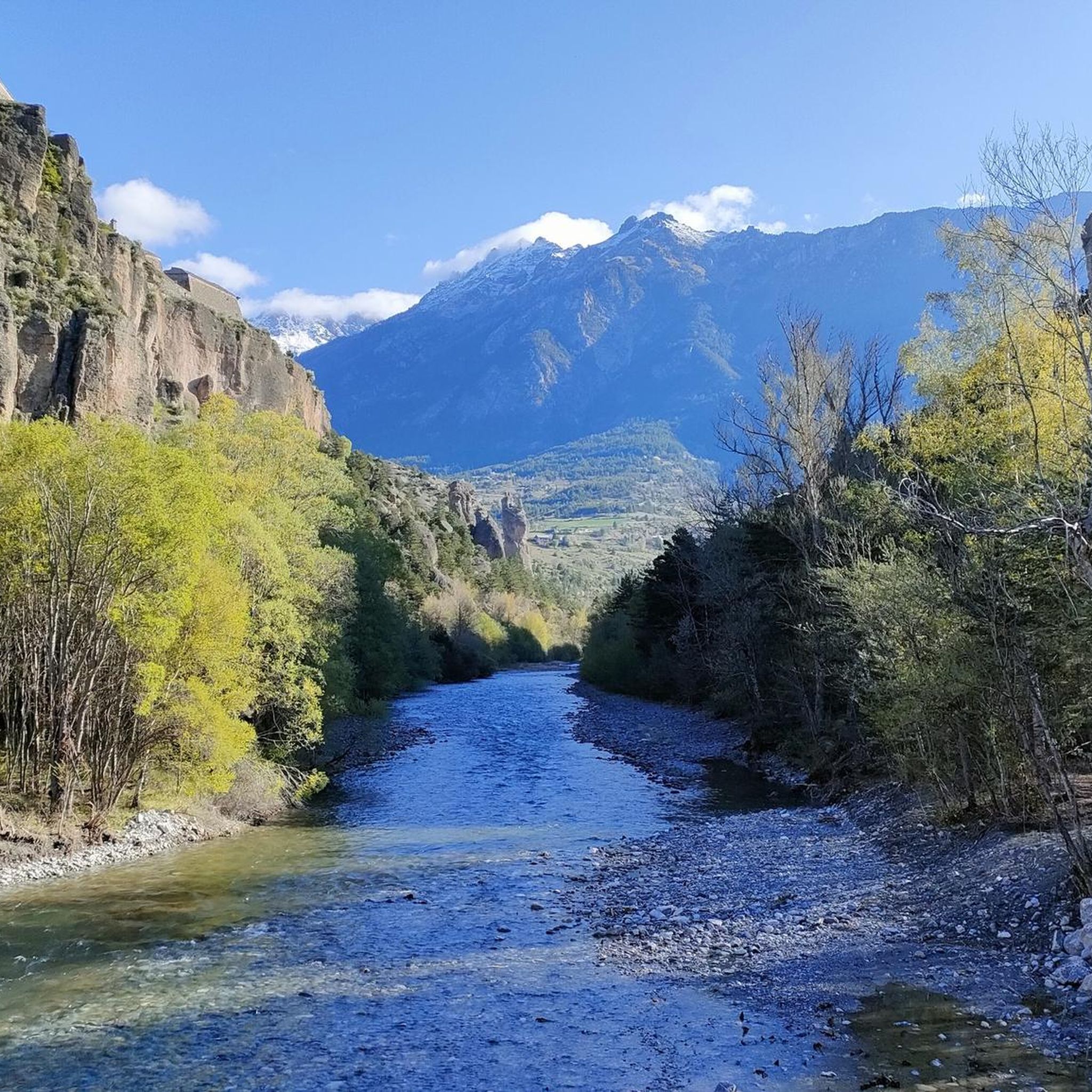
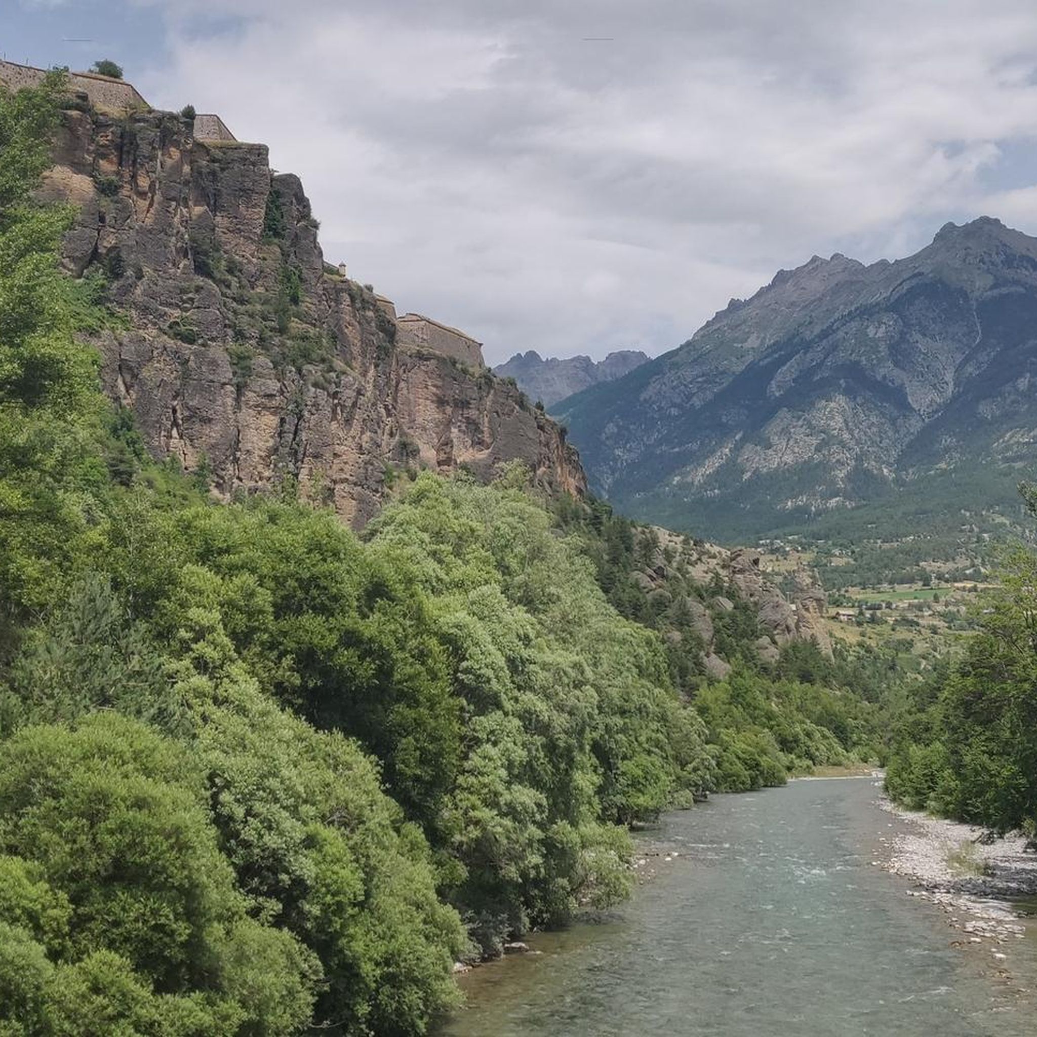
Road cycling routes around Mont-Dauphin offer diverse landscapes within the Hautes-Alpes department of France. The region is characterized by the dramatic terrain of the Queyras Regional Natural Park, featuring geological formations and traditional mountain areas. Cyclists can explore routes with views of the Durance Valley, venture through the Guil Gorges, and encounter significant Alpine passes. This area provides a network of routes with considerable elevation gains, suitable for varied road cycling experiences.
Best road cycling routes around Mont-Dauphin
- The most popular road cycling route is Guillestre to Col Agnel - Queyras Regional Natural Park, a 56.3 miles (90.6 km) difficult trail that takes 5 hours 22 minutes to complete. This route ascends to a high Alpine pass within the natural park.
- Another top favourite among local road cyclists is Guillestre - Risoul Loop Trail, a difficult 23.8 miles (38.4 km) path. This loop offers challenging climbs and descents through mountainous terrain.
- Local road cyclists also love the The Gorges du Guil – Col de Vars loop from Montdauphin-Guillestre, a 99.2 miles (159.7 km) trail leading through the dramatic Gorges du Guil, often completed in about 9 hours 30 minutes.
- Road cycling around Mont-Dauphin is defined by high Alpine passes, deep gorges, and expansive mountain valleys. The network offers options for different ability levels, from challenging climbs to routes with significant elevation changes.
- The routes in Mont-Dauphin are highly rated by the komoot community with an average score of 4.7 stars from over 300 reviews. More than 15,000 road cyclists have used komoot to explore Mont-Dauphin's varied terrain.
Last updated: July 1, 2026
4.9
(20)
987
riders
90.6km
05:22
2,260m
2,260m
Hard road ride. Very good fitness required. Some segments of this route may be unpaved and difficult to ride.
4.3
(9)
437
riders
38.4km
02:32
1,170m
1,170m
Challenge yourself on this difficult 23.8-mile road cycling route around Le Mont Dauphin, a UNESCO World Heritage site, with stunning mounta

Sign up for free
4.7
(32)
2,313
riders
160km
09:30
3,980m
3,980m
Hard road ride. Very good fitness required. Some segments of this route may be unpaved and difficult to ride.
4.9
(31)
1,423
riders
84.6km
05:20
2,410m
2,410m
Hard road ride. Very good fitness required. Mostly well-paved surfaces and easy to ride.
4.4
(9)
432
riders
44.8km
02:39
1,110m
1,110m
Hard road ride. Very good fitness required. Mostly well-paved surfaces and easy to ride.
Get access to more routes and recommendations from other explorers.
Sign up for free
Already have an account?
Our route recommendations are based on thousands of hikes, rides, and runs completed by other people on komoot.
Start today with a free account
Your next adventure awaits.
Login or Signup
Tips from the Community

There are some tunnels, better to have lights on the bikes
0
0

Once you reach the top of this long climb you can enjoy the beauty of Risoul and its landscapes.
4
0
Road away from traffic that crosses the countryside.
16
0
Small village within the beautiful Queyras park.
15
0
A beautiful climb of about 13 km with a 950 m elevation gain. The asphalt is in excellent condition, and the views at the top are spectacular.
17
0
Nature created this incredible mountain.
17
0
Very pretty little village that you pass through on your way to the Izoard climb.
17
0
Frequently Asked Questions
How many road cycling routes can I explore around Mont-Dauphin?
There are over 45 road cycling routes available around Mont-Dauphin, offering a wide range of experiences from challenging mountain passes to scenic valley rides. The komoot community has rated these routes highly, with an average score of 4.7 stars.
What kind of terrain and elevation can I expect on road cycling routes in the Mont-Dauphin area?
The Mont-Dauphin area is characterized by significant elevation changes, featuring high Alpine passes, deep gorges, and expansive mountain valleys. Routes often involve considerable climbs, such as the 2,259 meters of ascent on the Guillestre to Col Agnel - Queyras Regional Natural Park route, and descents through dramatic landscapes like the Guil Gorges.
Are there any easy road cycling routes suitable for beginners or more relaxed rides?
Yes, while many routes feature challenging climbs, there are 7 easy road cycling routes around Mont-Dauphin. These routes offer a gentler introduction to the region's beauty, often following valley floors or less steep ascents, making them suitable for beginners or those seeking a more leisurely pace.
What are some notable landmarks or scenic viewpoints I can see along the road cycling routes?
Cyclists can enjoy breathtaking views of the Durance Valley and dramatic passages through the Gorges du Guil. Longer loops may also offer panoramic vistas of Lake Serre-Ponçon. The region is also home to the Queyras Regional Natural Park, known for its unique geological formations like the Casse Déserte.
Are there any family-friendly road cycling options around Mont-Dauphin?
While many routes involve significant climbs, the region does offer some family-friendly options, particularly the easier routes that avoid the most challenging mountain passes. These routes often follow flatter sections of valleys, providing a safer and more enjoyable experience for families. Always check the route's elevation profile and distance to ensure it suits your family's abilities.
What is the best time of year for road cycling in Mont-Dauphin?
The best time for road cycling in Mont-Dauphin, especially for tackling the high Alpine passes, is typically from late spring (May/June) through early autumn (September/October). During these months, the weather is generally more stable, and the mountain passes are clear of snow. Summer offers warm conditions, but can be busy.
Where can I find accommodation or places to eat suitable for cyclists in Mont-Dauphin?
Mont-Dauphin and the surrounding towns like Guillestre offer various accommodation options, including hotels, guesthouses, and campsites, many of which are accustomed to hosting cyclists. You'll also find numerous cafes and restaurants in these areas, perfect for refueling after a ride. Look for establishments that offer secure bike storage or are located conveniently near popular routes.
Can I bring my dog on road cycling routes in Mont-Dauphin?
While dogs are generally welcome in the region, road cycling with a dog, especially in mountainous terrain, can be challenging and potentially unsafe for both the cyclist and the animal. The high speeds, traffic, and long distances on paved roads are not ideal for most dogs. For dog-friendly activities, consider exploring walking or hiking trails in the Queyras Regional Natural Park, where dogs on leash are often permitted.
Are there any long-distance or multi-day road cycling loops starting from Mont-Dauphin?
Yes, Mont-Dauphin serves as an excellent starting point for longer loops. For example, the challenging The Gorges du Guil – Col de Vars loop from Montdauphin-Guillestre covers nearly 160 km with significant elevation gain, often taking over 9 hours to complete. The region is also part of the broader Route des Grandes Alpes®, offering extensive multi-day cycling adventures across the French Alps. You can find more information about this route on France Vélo Tourisme.
What is the most challenging road cycling route in the Mont-Dauphin area?
One of the most challenging routes is The Gorges du Guil – Col de Vars loop from Montdauphin-Guillestre. This difficult 159.7 km trail features nearly 4,000 meters of elevation gain, taking cyclists through the dramatic Gorges du Guil and over the formidable Col de Vars, demanding high levels of fitness and experience.
Is it possible to rent a bike or find bike repair services in Mont-Dauphin?
Yes, Mont-Dauphin and nearby towns like Guillestre typically offer bike rental services, including road bikes, to cater to visitors. You can also find bike repair shops in these areas, which are essential for any unexpected mechanical issues during your cycling adventure in the Alps.
What makes the Queyras Regional Natural Park a special area for road cyclists?
The Queyras Regional Natural Park, accessible from Mont-Dauphin, is renowned for its extraordinary geological formations, traditional mountain areas, and pristine natural beauty. Cycling through the park, as on the Guillestre to Col Agnel - Queyras Regional Natural Park route, offers cyclists a unique blend of challenging climbs and stunning, unspoiled landscapes, including features like the Casse Déserte.
Most popular routes around Mont-Dauphin
Most popular attractions around Mont-Dauphin

Get inspired with the komoot mobile app


Explore more
Browse the best Road cycling routes in other regions.
