The 20 Most Amazing Peaks around Valcebollère
Mountain peaks around Valcebollère offer diverse hiking experiences in the Cerdagne valley of the Pyrenees. This region features mountains ranging from low plateaus to high peaks exceeding 2900 meters. Valcebollère serves as a starting point for exploring several notable peaks that provide panoramic views. The area is characterized by sunny landscapes and a rich representation of high-mountain habitats.
Best mountain peaks around Valcebollère
- The most popular mountain peaks is Puigmal d'Er Summit, a summit located between the commune of…
Last updated: August 16, 2026
Puigmal d'Er Summit
Highlight • Summit
Translated by Google •
Tip by

Collada de Fontalba (approx. 2000 m)
Highlight • Mountain Pass
Translated by Google •
Tip by

Sign up now to discover places like this
Get recommendations on the best single tracks, peaks, & plenty of other exciting outdoor places.
Sign up for free
Pic de la Fossa del Gegant
Highlight • Summit
Translated by Google •
Tip by
Pic de Finestrelles
Highlight • Summit
Translated by Google •
Tip by
Costa Pubilla (Pla de Pujalts Summit, 2,056 m)
Highlight • Summit
Translated by Google •
Tip by

Sign up for free to discover even more peaks around Valcebollère.
Sign up for free
Already have an account?
Start today with a free account
Your next adventure awaits.
Login or Signup


Tips from the Community

the views and the pleasure of climbing almost to 3000 m
1
0

Where did you drive up there from and which gate did you take? Where did you drive up there from and which gate did you take? From where did you drive up there and which gate did you take?
0
1

Access to the site is restricted in summer by vehicle, and a reserved spot is required for €5. Overnight parking is not permitted.
1
0

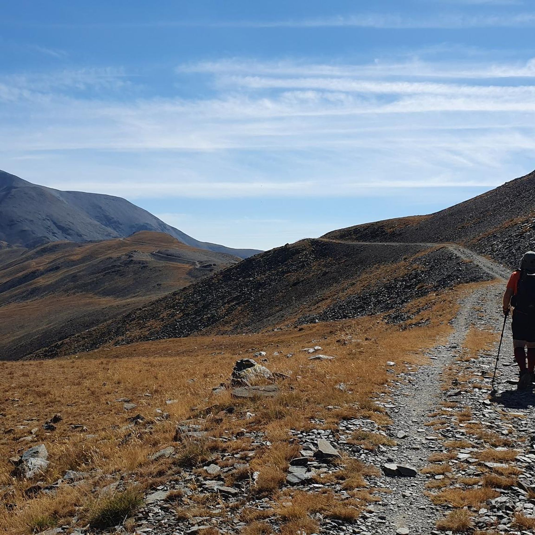
The parking area in Fontalba, with a fee during the summer, is the optimal starting point for those who wish to start conquering 3000 meter peaks, starting with Puigmal. This route is not only accessible and direct, but also provides stunning scenery, making it the ideal choice for aspiring mountaineers.
1
0

Strong climb and good air in the Pic
1
0

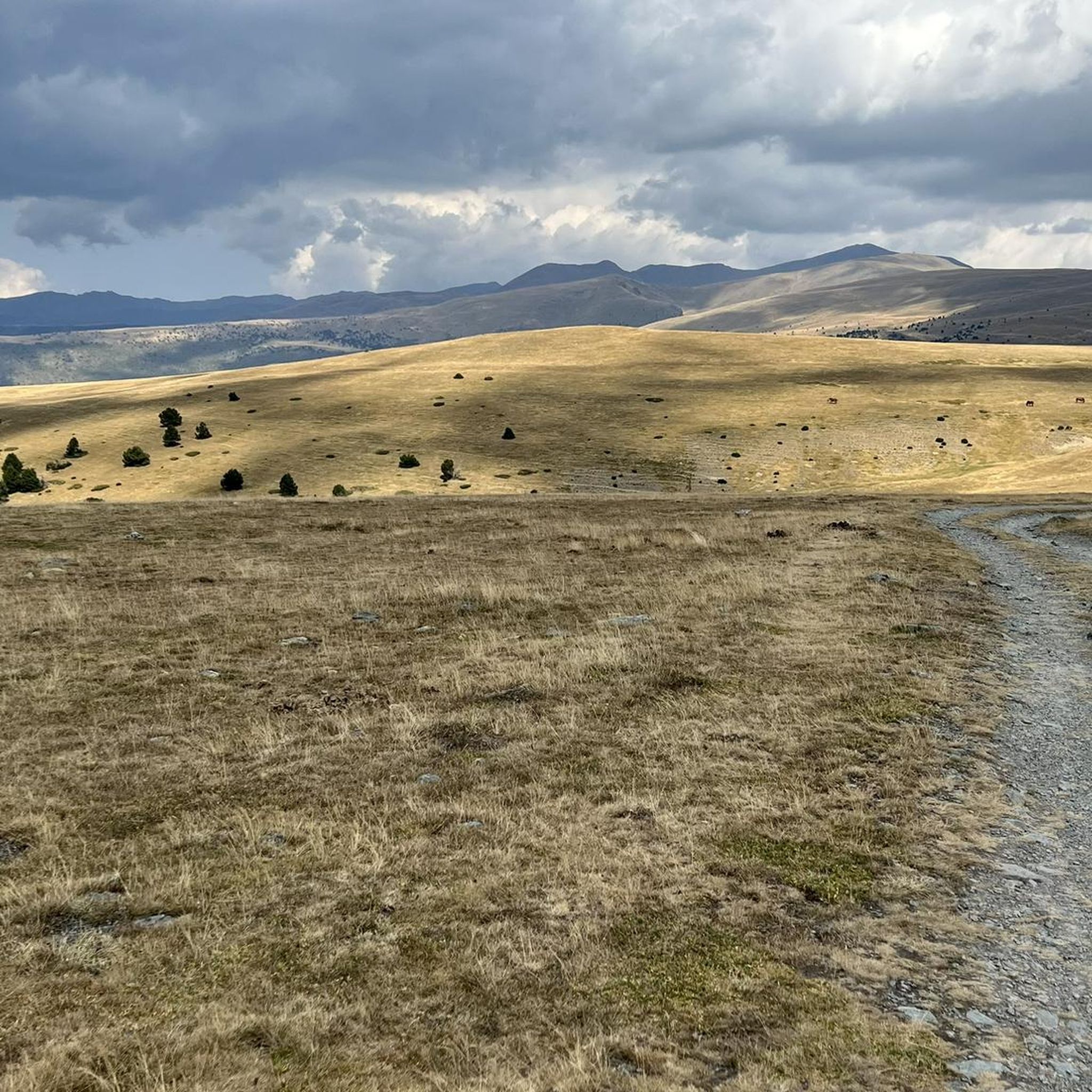
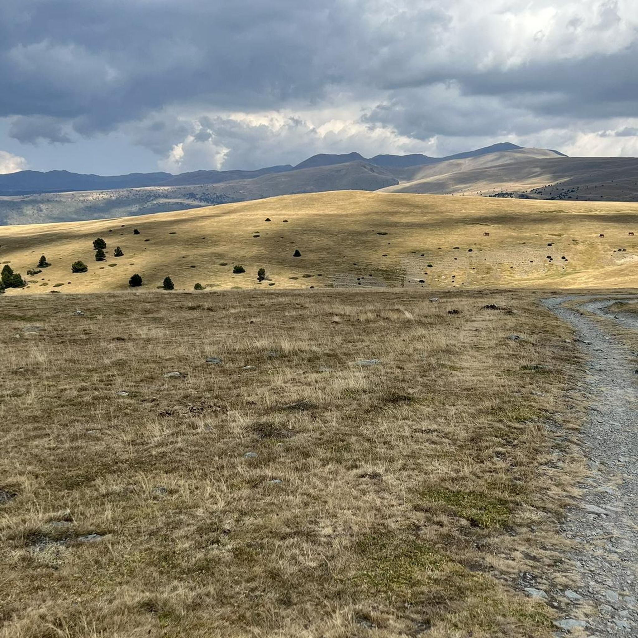
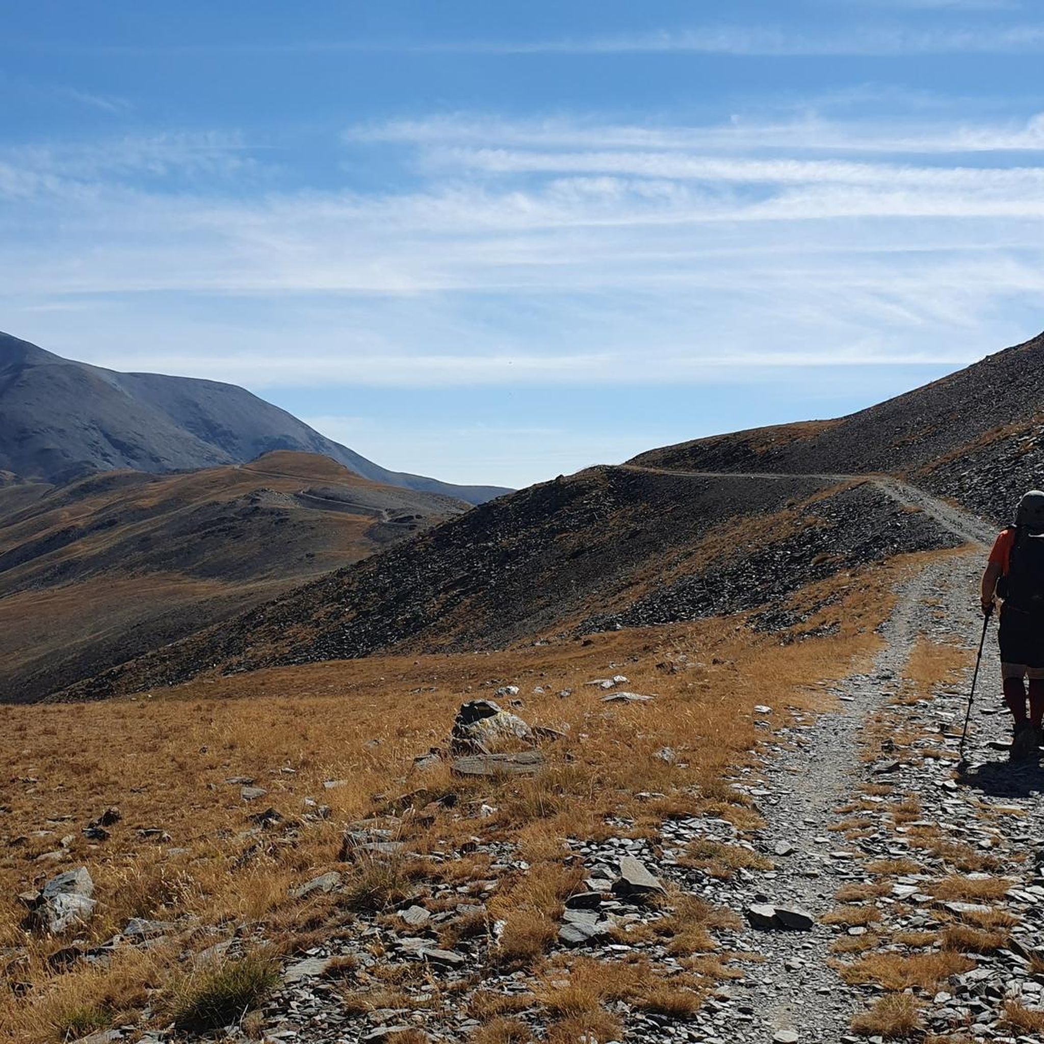
A few cattle graze comfortably along the green slopes of Fontalba. Drivers will find a dusty parking lot here, which has to be fought for over numerous serpentines. From here you can descend to Nuria via the mountainsides or choose the more strenuous route via the Puigmall.
1
0
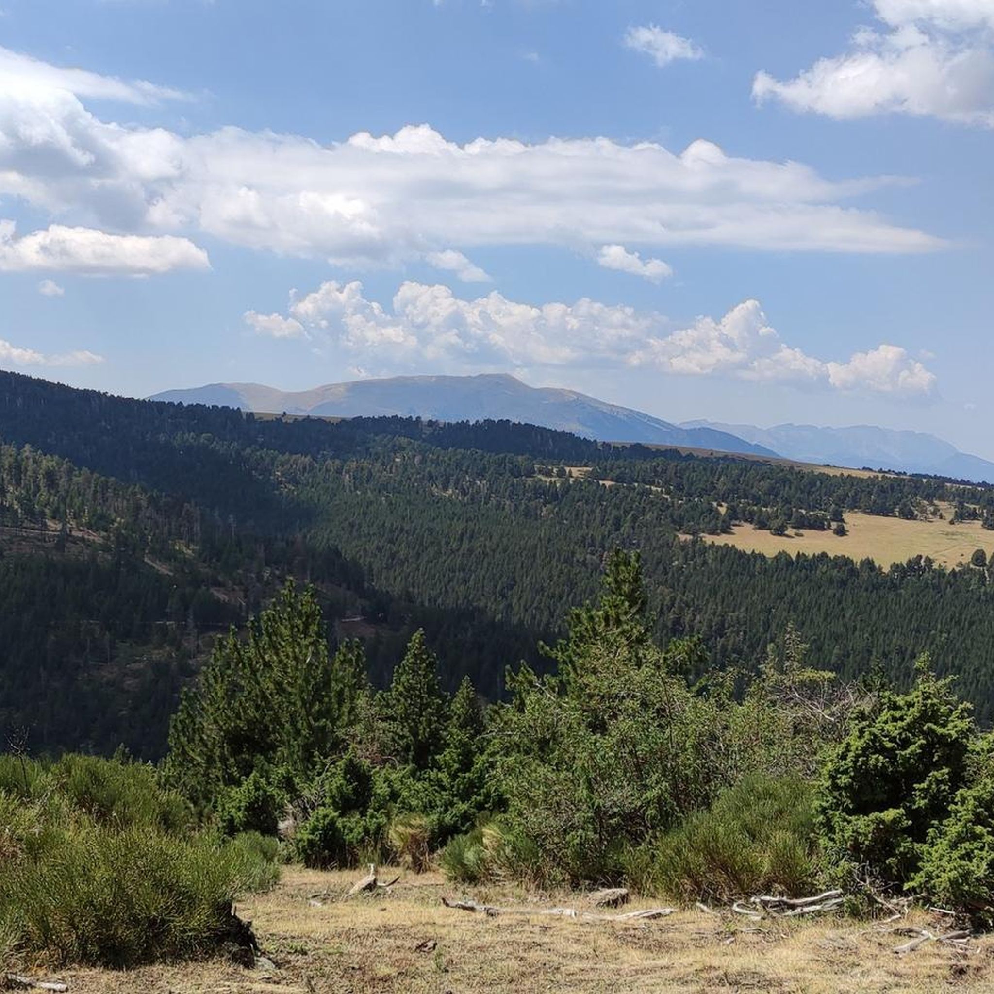
There isn't really much of a view to enjoy here. The other mountains in the same category that can be hiked along the ridge are more impressive. But you are still "up there" here. Away from the hustle and bustle of the world, in silence. Only the wind blows over the peaks, kicks up a few dust devils, and in summer cools the sweat of the climb.
3
0

To go up with the bike you need to be ready to push for a long time, the good part is that in no section will it be necessary to carry the bike on your back. In the end, needless to say, we will have unimaginable views!
0
0
Frequently Asked Questions
What are some of the most notable mountain peaks to explore around Valcebollère?
Valcebollère offers access to several significant peaks. The Puigmal d'Er Summit is a highly emblematic peak, known for its 360-degree panorama. Another prominent mountain is Puig de Dòrria, which offers excellent views and a chance to spot wildlife. Puigmal Petit de Segre is also a great option, often explored as part of longer circuits.
What kind of views can I expect from the mountain peaks in the Valcebollère region?
The peaks around Valcebollère offer breathtaking panoramic views. From the Puigmal d'Er Summit, you can see across the northern French and Spanish Cerdagne, with the imposing massif of Carlit, and extensive views of Conflent, Empordà, Garrotxa, and various valleys. Puig de Dòrria provides vistas of the Puigmal, Taga, and the Cerdanyan plain. Even from Valcebollère itself, you can enjoy magnificent views of the Cerdagne valley.
Are there challenging hikes to the mountain peaks near Valcebollère?
Yes, many of the hikes to the peaks around Valcebollère are challenging. For instance, the hike to Puig de Dòrria from Valcebollère is a demanding 16.9 km route with over 1,000 meters of elevation gain, recommended for those with very good fitness. Ascents to Puigmal Petit de Segre, especially as part of a loop with Puigmal d'Er, also provide a challenging experience with steep sections.
What natural features and wildlife can be observed on these mountain peaks?
The region is rich in natural beauty. On Puigmal d'Er, you can find beautiful high-altitude flowers like stemless catchfly and glacier buttercup. The area around Puig de Dòrria, part of natural parks, showcases alpine meadows, rocky scree, and black pine forests, where you might spot wildlife such as marmots, chamois, and mouflon. The Segre River also has its source near Puigmal Petit de Segre.
Are there any mountain passes or viewpoints that are easier to access?
Yes, not all high points require extreme effort. The Collada de Fontalba (approx. 2000 m) is a mountain pass that serves as a starting point for routes to Vall de Núria and the Puigmal peak. It's accessible and offers a dusty parking lot, making it a good option for those looking for a less strenuous approach to high-altitude scenery.
What kind of outdoor activities can I do near the mountain peaks around Valcebollère?
Beyond peak bagging, the Valcebollère area is excellent for various outdoor activities. You can find numerous routes for hiking, gravel biking, and running. For example, there are challenging gravel biking routes like the "Planoles Village – Pardines Medieval Village loop" and running trails such as the "Núria Dam and Sanctuary loop." You can explore more options in the Hiking around Valcebollère, Gravel biking around Valcebollère, and Running Trails around Valcebollère guides.
Are there any circular hiking routes available for the peaks?
Yes, several circular routes allow for varied experiences. The hike to Puig de Dòrria from Valcebollère can be done as a less frequented circular route. Additionally, Puigmal Petit de Segre is often part of longer circuits that include Puigmal d'Er. You can also find a "Puigmal d'Er Summit loop from Pic de Duraneu" among the hiking options.
What is special about the <a href="https://www.komoot.com/highlight/4266619" target="_blank" rel="noopener">Pic de la Fossa del Gegant</a>?
The Pic de la Fossa del Gegant is a summit crowned by an iron cross, offering spectacular panoramas due to its location at the meeting point of several ridges. From here, you can enjoy views towards the Puigmal, the sanctuary of Núria, and a vast expanse of the Pyrenees, including peaks like Carlit and Canigó on a clear day.
Can I find any historical or unique landmarks on these peaks?
Yes, some peaks feature notable landmarks. The Puigmal d'Er Summit is adorned with a large cross and a Catalan flag. The Pic de la Fossa del Gegant is also crowned by an iron cross. Additionally, the Pic de Finestrelles holds the singularity of being the mountain from which the world record for portraying the most distant landscape on the planet was achieved.
What is the best time of year to visit the mountain peaks around Valcebollère?
The Cerdagne valley, where Valcebollère is located, is known for its panoramic and sunny landscapes. While specific seasonal recommendations are not provided, generally, late spring to early autumn offers the most favorable weather for hiking in the Pyrenees, with warmer temperatures and less snow, making higher peaks more accessible. Always check local weather conditions before heading out.
Are there any relatively accessible peaks for hikers who are not highly experienced?
While many routes are challenging, the Puigmal d'Er Summit is considered relatively accessible for hikers despite its altitude, especially under favorable weather conditions. It's even included in the "100 Cims Essencials" list for Catalan mountaineering, suggesting it's a classic ascent that can be managed by those with reasonable fitness.
Where can I find parking for hiking trails to the peaks?
For some routes, parking is available at trailheads. For example, the Collada de Fontalba (approx. 2000 m) offers an ideal parking spot, accessible via an 11-kilometer dirt track from Queralbs. This location serves as a starting point for routes to Vall de Núria and the Puigmal peak.
Most popular routes around Valcebollère
Most popular attractions around Valcebollère

Get inspired with the komoot mobile app


Explore more
See even more amazing summits around Valcebollère with these guides:
