The best walks and hikes around Valcebollère
4.5
(1387)
14,126
hikers
382
hikes
Hiking around Valcebollère offers access to diverse landscapes within the Cerdagne valley and the Pyrénées-Orientales department of France. The region features mountain forests, serene lakes, and lush valleys, all set against the backdrop of the Catalan Pyrenees. Trails often ascend through wooded areas, opening into expansive high-altitude meadows. The area is characterized by significant elevation changes, providing varied terrain for hikers.
Best hiking trails around Valcebollère
- The most popular hiking route is Puig de Dòrria Trail from Valcebollère, a…
Last updated: August 17, 2026
5
hikers
16.9km
06:01
1,010m
1,010m
Hike the difficult 10.5-mile Puig de Dòrria trail from Valcebollère, gaining 3329 feet for panoramic views in the Pyrénées Catalanes.
5.0
(2)
86
hikers
8.44km
03:41
770m
770m
Moderate hike. Good fitness required. Easily-accessible paths. Suitable for all skill levels.

Sign up for free
4.6
(5)
66
hikers
13.9km
05:38
970m
970m
Hard hike. Very good fitness required. Sure-footedness, sturdy shoes and alpine experience required.
4.4
(7)
45
hikers
6.33km
01:59
260m
260m
Easy hike. Great for any fitness level. Easily-accessible paths. Suitable for all skill levels.
4.7
(3)
83
hikers
7.36km
04:00
830m
830m
Hard hike. Good fitness required. Sure-footedness, sturdy shoes and alpine experience required.
Get access to more routes and recommendations from other explorers.
Sign up for free
Already have an account?
Our route recommendations are based on thousands of hikes, rides, and runs completed by other people on komoot.
Start today with a free account
Your next adventure awaits.
Login or Signup
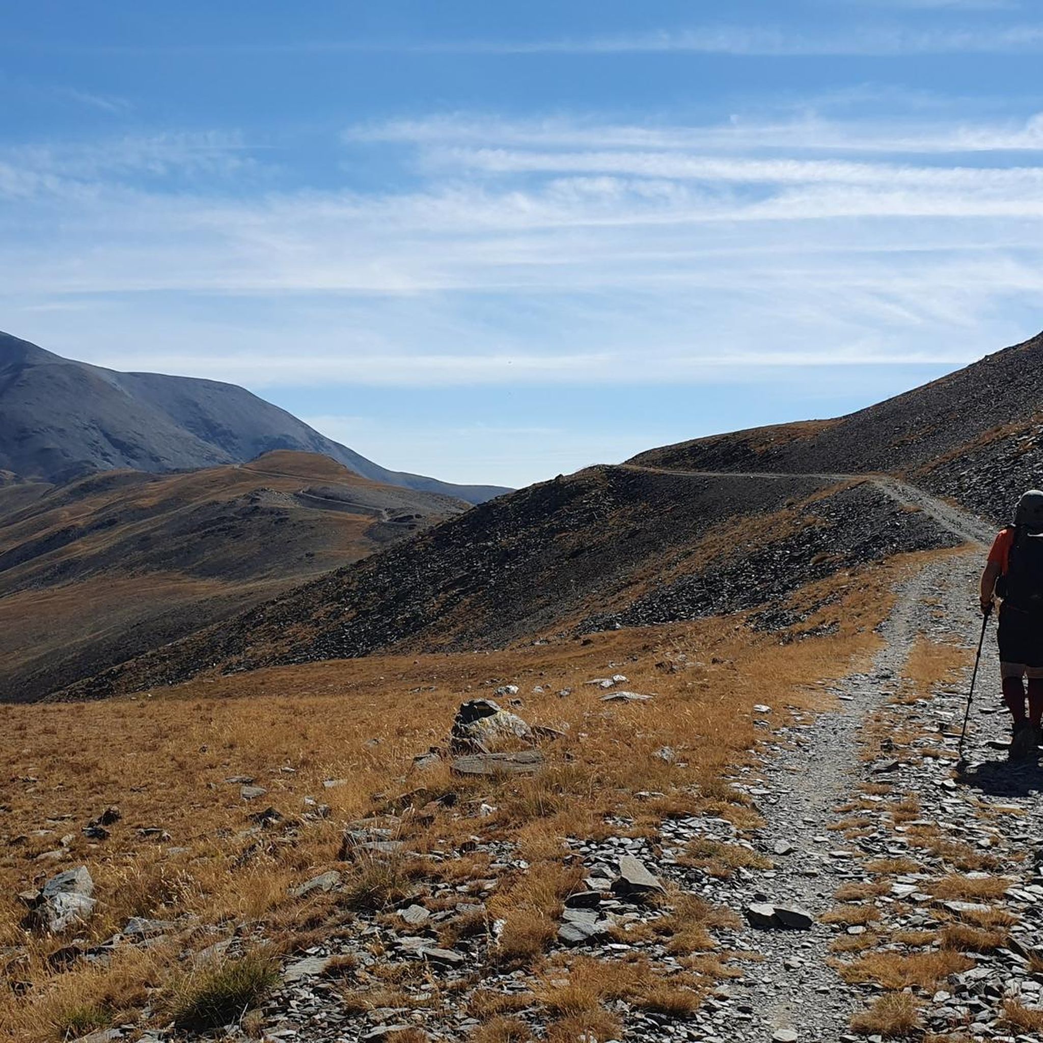
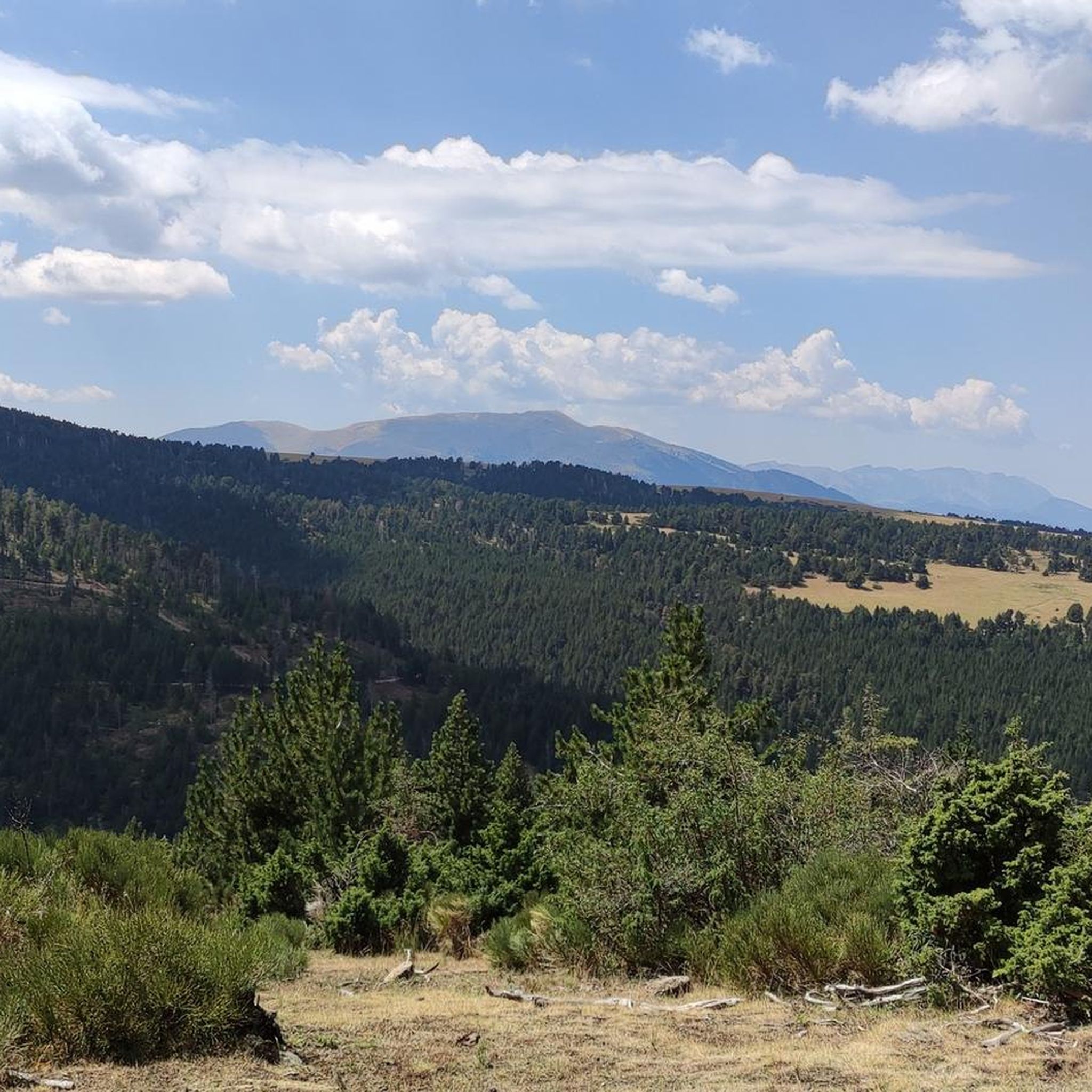
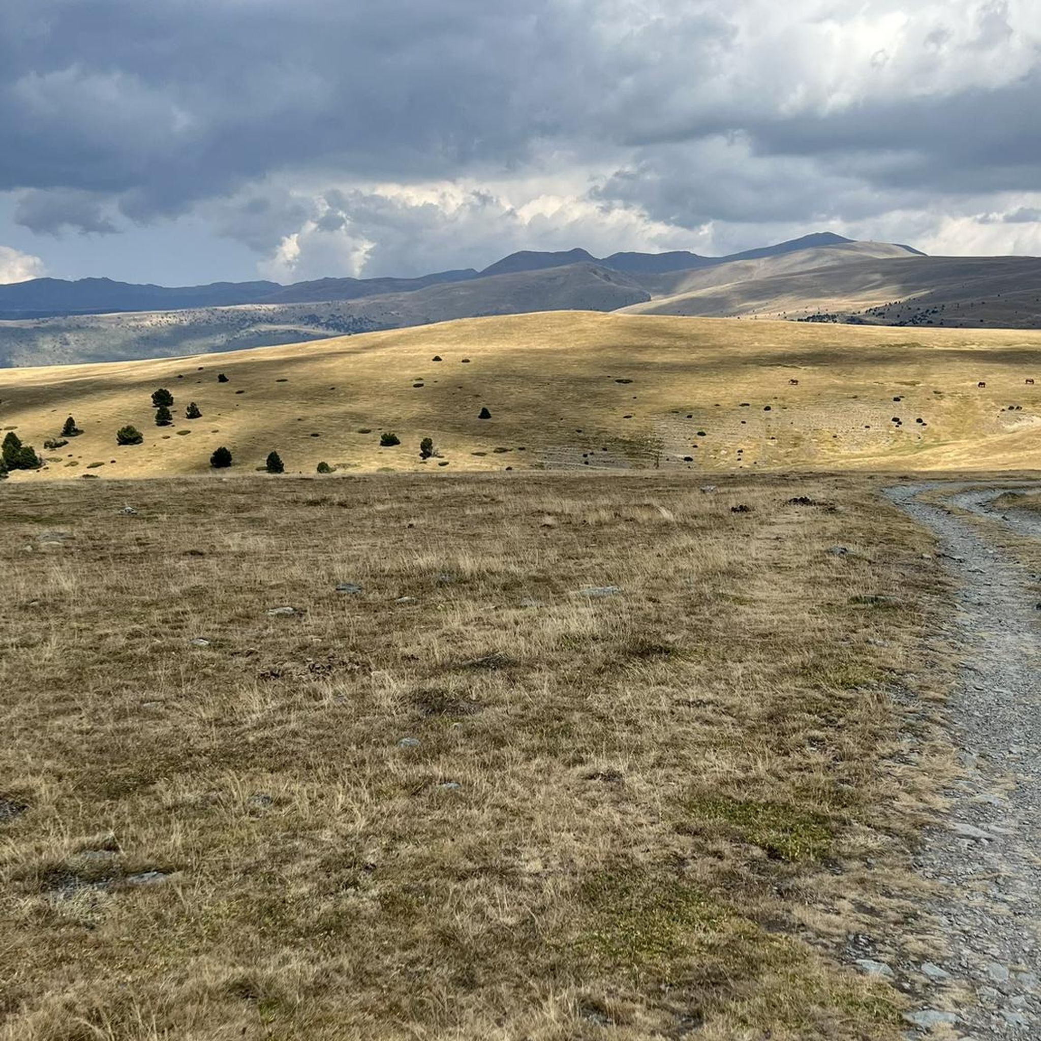
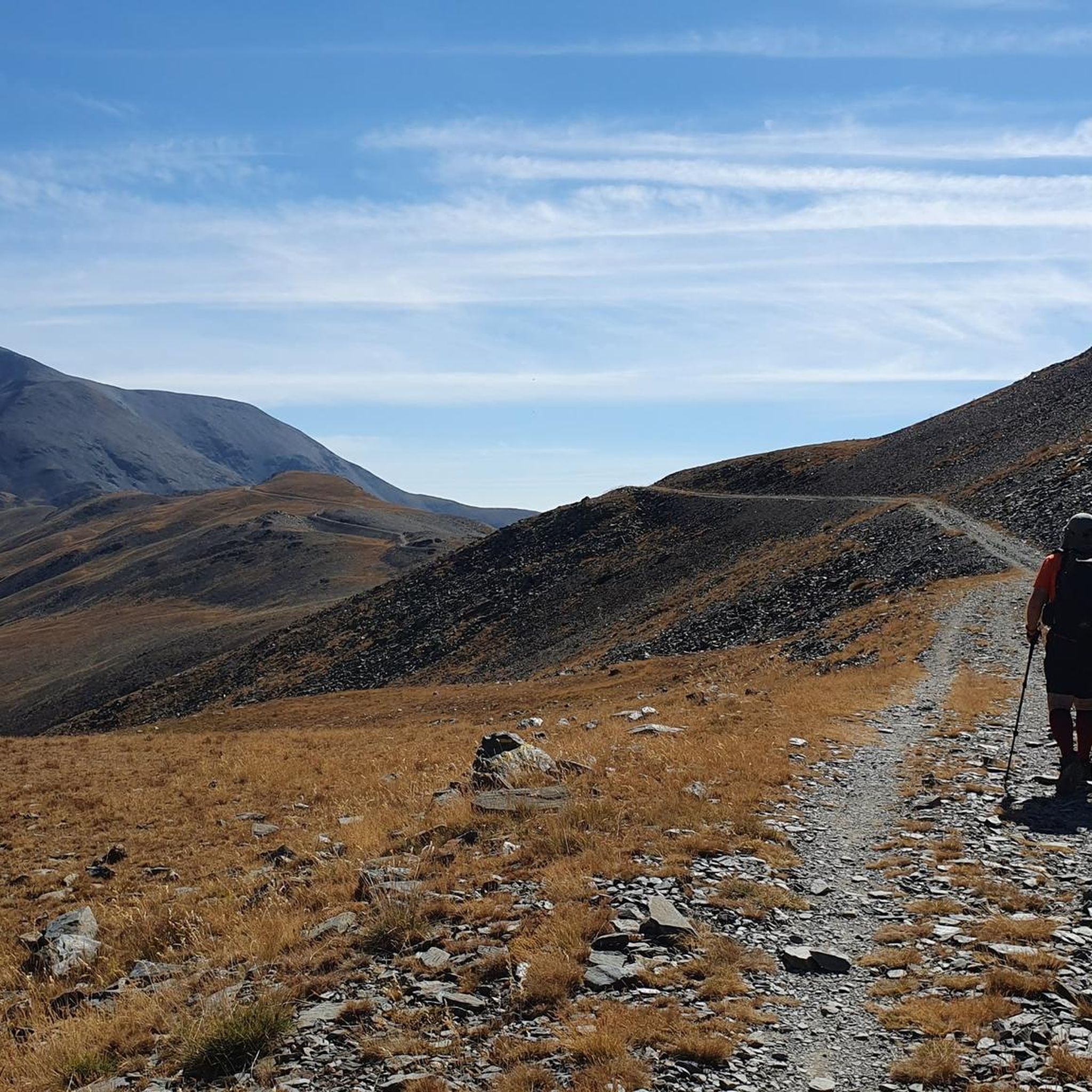


Tips from the Community

easy and beautiful, marked trail
0
0

the views and the pleasure of climbing almost to 3000 m
1
0

Where did you drive up there from and which gate did you take? Where did you drive up there from and which gate did you take? From where did you drive up there and which gate did you take?
0
1

There isn't really much of a view to enjoy here. The other mountains in the same category that can be hiked along the ridge are more impressive. But you are still "up there" here. Away from the hustle and bustle of the world, in silence. Only the wind blows over the peaks, kicks up a few dust devils, and in summer cools the sweat of the climb.
3
0

The puig de Dòrria, at 2547 meters above sea level, offers a magnificent panorama of Cerdanya.
1
0

There are many legends surrounding the Puigmal. Among others that this was a giant of the mountain who did not like the human presence at the top. Without a doubt, a very Pyrenean peak.
2
1

the Clot de la Pastera or Bressol del Puigmal is located where the paths of Pas del Lladres and the path that goes up from Vallcebollera meet and is where the last steep climb to the summit of Puigmal begins. As its name indicates, it is a hollow where after the thaw or during heavy rains it can become a pond.
1
0
Key mountain pass for the ascent to Puigmal from Collet de les Barraques, located between Pic de Dorria (2548m) to the SW. and the pass of Pas dels Lladres to the N-NE. This is where the track passes from Oceja, through the Coll de Pradelles and the Coll de Sant Salvador to the slopes of Tossa del Pas dels Lladres and which can be done by mountain bike. I have met once. Going down in the direction of NO we could reach Vallcebollera passing through the chapel of Sant Bernabé.
1
0
Frequently Asked Questions
How many hiking trails are available around Valcebollère?
Valcebollère offers a wide selection of hiking trails, with over 360 routes recorded on komoot. These include a diverse range of options, from 89 easy walks suitable for beginners to 179 moderate excursions and 99 challenging multi-hour treks for experienced hikers.
What kind of terrain and landscapes can I expect on hikes in Valcebollère?
Hikes in Valcebollère traverse a varied landscape within the Cerdagne valley and the Catalan Pyrenees. You'll experience mountain forests, serene lakes, and lush green valleys. Many trails ascend through wooded areas, opening up to expansive high-altitude meadows, offering breathtaking panoramic views of the surrounding peaks. The region is known for its significant elevation changes, providing diverse terrain for all levels.
Are there any easy or family-friendly hiking options in Valcebollère?
Yes, Valcebollère has numerous easy trails suitable for families and those seeking a more relaxed walk. One accessible option is the Ermita de Sant Bernabeu loop from Valcebollère, which is 6.3 km long with a moderate elevation gain of 260 meters and typically takes under 2 hours to complete. This route offers varied terrain without being overly strenuous.
What are some notable natural features or landmarks to look out for on the trails?
The region is rich in natural beauty and notable landmarks. Hikers can enjoy views of the Catalan Pyrenees and discover features like the Rec de la Vila stream. Specific highlights include the majestic Puigmal d'Er Summit, the scenic Núria Viewpoint, and the impressive Salt del Grill waterfall. The area also features high-altitude meadows after climbing through forests.
Are there any circular hiking routes available in Valcebollère?
Yes, Valcebollère offers several circular hiking routes. For a challenging experience, consider the Puigmal Petit de Segre – Puigmal d'Er Summit loop from Les Planes, a 9.9 km path with 900 meters of ascent. A more accessible loop is the Ermita de Sant Bernabeu loop from Valcebollère, which is 6.3 km long and easy to complete.
What do other hikers enjoy most about hiking in Valcebollère?
The hiking experience in Valcebollère is highly rated by the komoot community, with an average score of 4.4 stars from over 1,100 reviews. Hikers frequently praise the stunning panoramic views of the Catalan Pyrenees, the diverse landscapes ranging from mountain forests to high-altitude meadows, and the invigorating fresh mountain air. The variety of trails catering to different skill levels is also a common highlight.
What is the best time of year to go hiking in Valcebollère?
Valcebollère benefits from abundant sunshine, making it an inviting destination for outdoor activities. While specific seasonal advice depends on the trail's elevation and difficulty, the region generally offers pleasant conditions for hiking from spring through autumn. High-altitude routes might be best enjoyed in summer and early autumn to avoid snow, while lower trails can be accessed earlier and later in the season.
Are there any challenging multi-hour treks for experienced hikers?
Absolutely. Valcebollère is an excellent base for challenging multi-hour treks with significant elevation changes. A prime example is the Puig de Dòrria Trail from Valcebollère, a difficult 16.9 km route with over 1,000 meters of elevation gain, typically taking more than 6 hours to complete. Another demanding option is the Puigmal d'Er Summit – Puigmal loop from Les Planes, a 13.9 km loop with nearly 1,000 meters of ascent.
Are there any protected natural areas in the vicinity of Valcebollère?
Yes, Valcebollère is situated within the protected Catalan Pyrenees Regional Nature Park. This designation ensures the preservation of its rich ecological heritage, including mountain forests, serene lakes, and lush valleys. For more information on protected natural environments in the region, you can visit Perpignan Tourisme or Visit Occitanie.
Are there any historical routes or trails with cultural significance?
Yes, the region offers trails with historical context. The 'Path of Retirada' is a moderately difficult 12.36 km hike that ascends through forests to high-altitude pastures. This route not only provides splendid panoramas but also holds historical significance related to the Spanish Civil War, offering a unique blend of nature and heritage.
What kind of wildlife might I encounter while hiking?
While specific wildlife sightings can never be guaranteed, the diverse ecosystems of the Catalan Pyrenees Regional Nature Park, including mountain forests and high-altitude meadows, support a variety of flora and fauna. Hikers might spot various bird species, local mammals, and a rich array of plant life adapted to the mountain environment. Respecting wildlife and maintaining a safe distance is always recommended.
Most popular routes around Valcebollère
Most popular attractions around Valcebollère

Get inspired with the komoot mobile app


Explore more
Browse the best Hikes in other regions.
