The best road cycling routes around Valcebollère
4.5
(104)
10,205
riders
84
rides
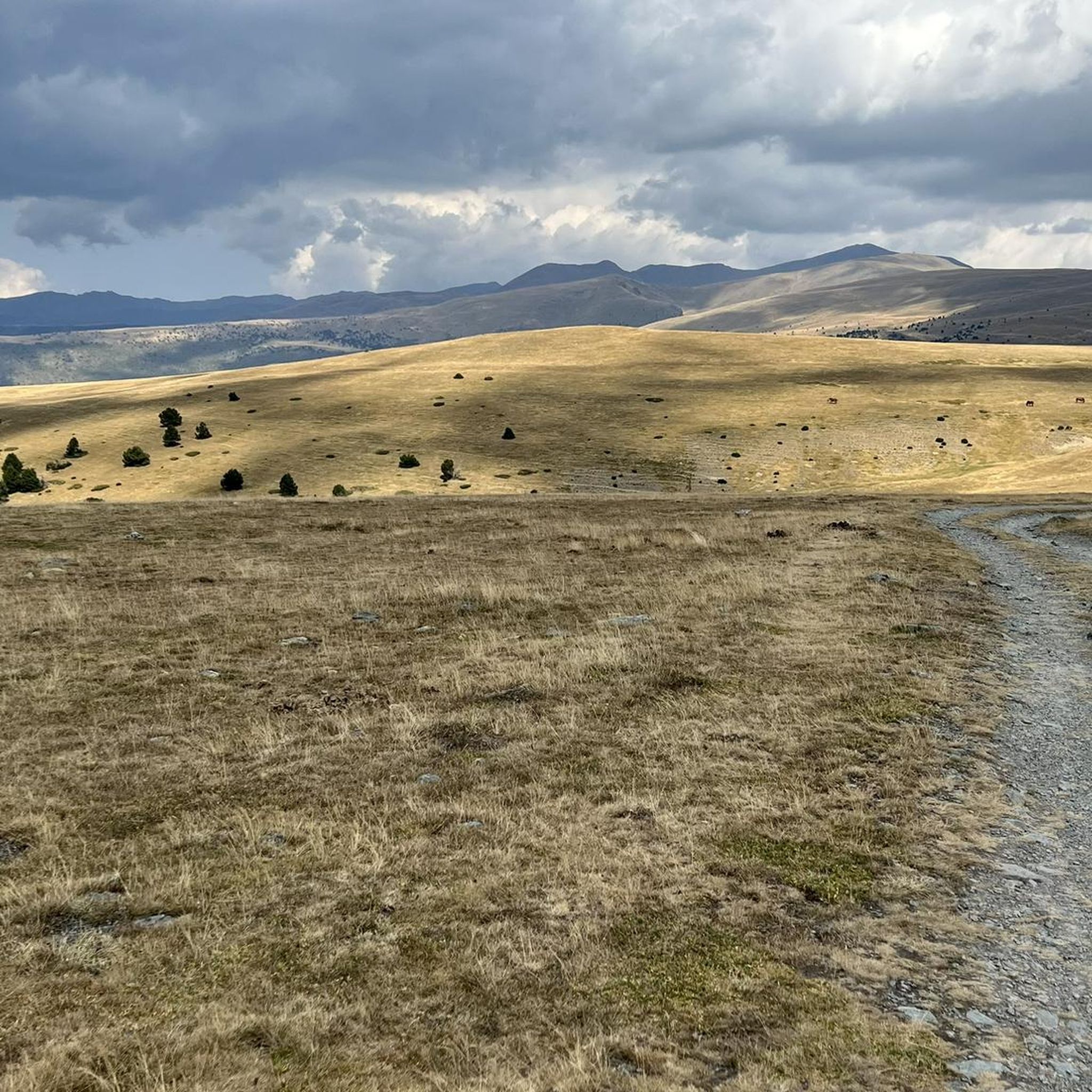
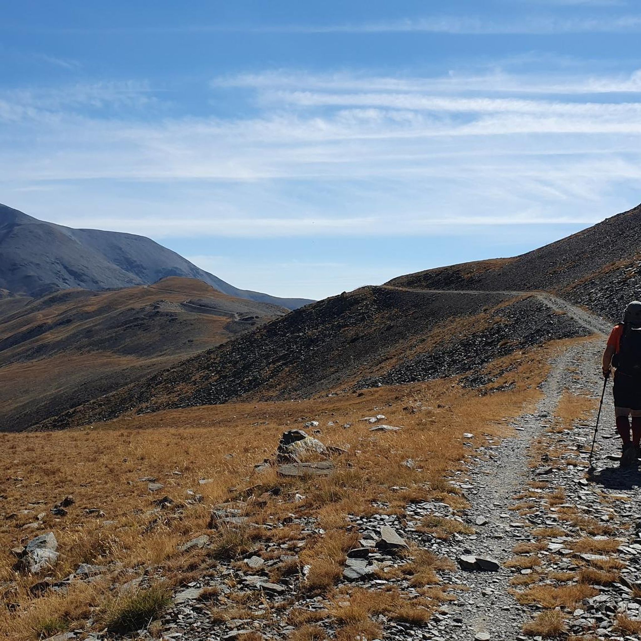
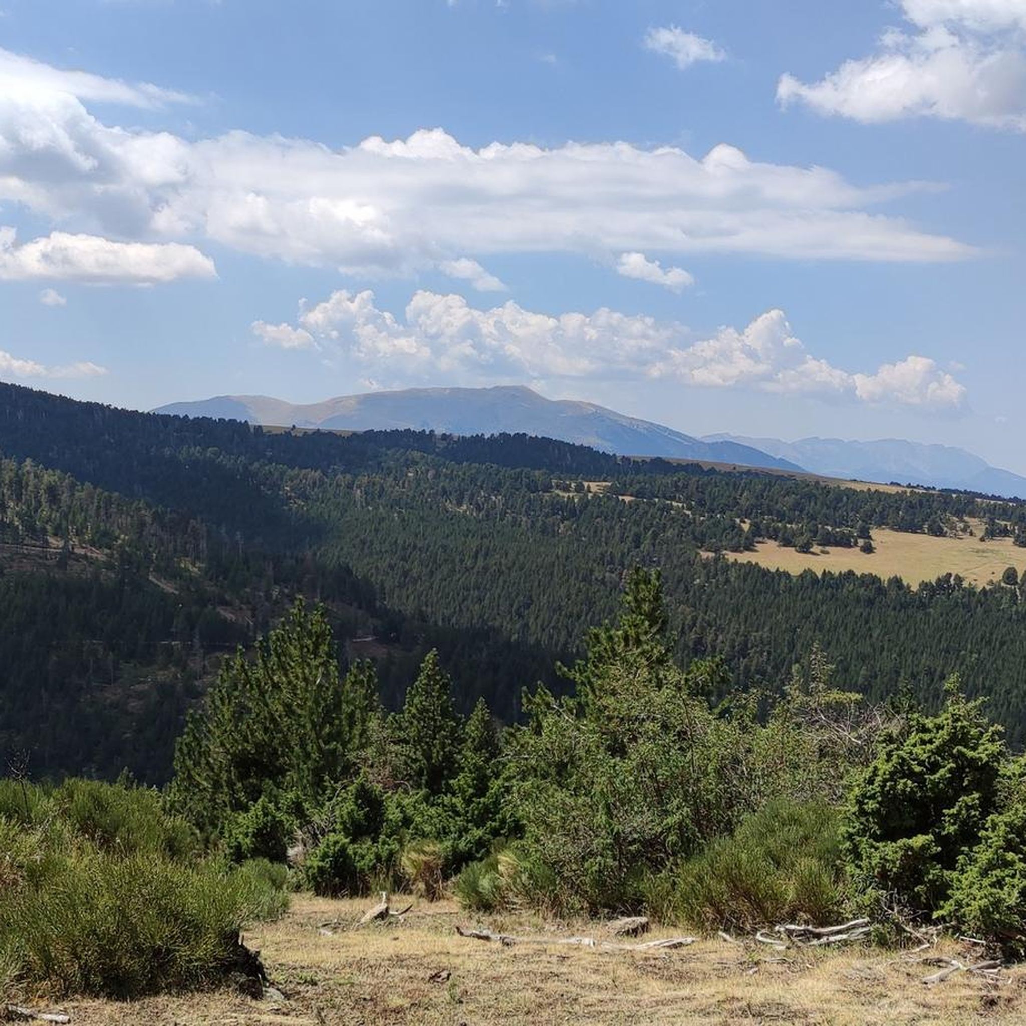
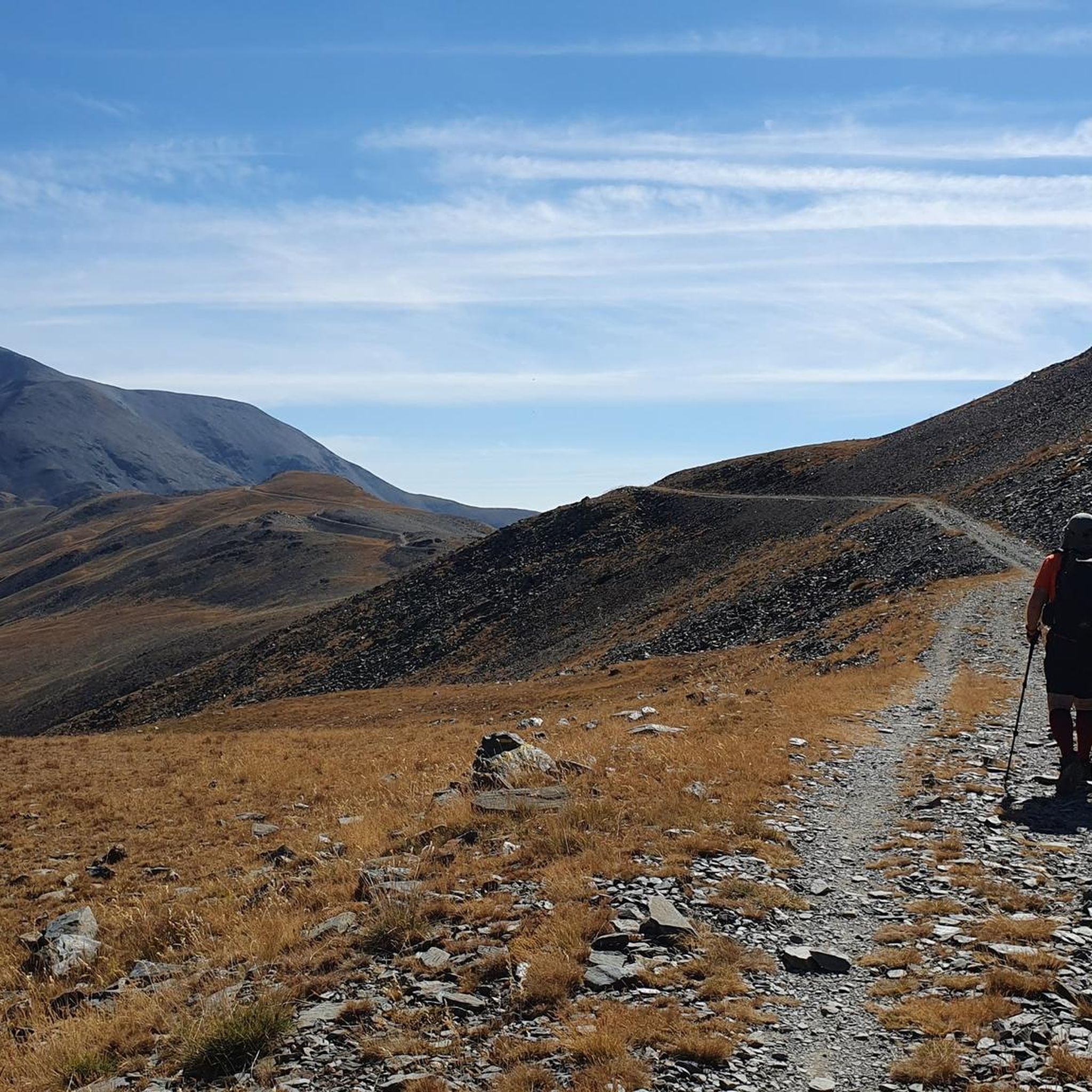
Road cycling routes around Valcebollère are set within the Cerdagne valley of the Pyrénées-Orientales, offering diverse terrain for cyclists. The region features a mix of forests, mountain pastures, and open spaces, with routes that include significant elevation gains and descents. Many roads are well-maintained with minimal traffic, making them suitable for various cycling experiences. The area is characterized by its proximity to the Pyrenees, providing a landscape of hills and higher peaks.
Best road cycling routes around Valcebollère
- The most…
Last updated: July 1, 2026
5.0
(1)
184
riders
153km
08:22
3,230m
3,230m
Hard road ride. Very good fitness required. Mostly well-paved surfaces and easy to ride.
5.0
(1)
134
riders
54.0km
02:28
580m
580m
Moderate road ride. Good fitness required. Some segments of this route may be unpaved and difficult to ride.

Sign up for free
4.3
(3)
89
riders
49.2km
02:24
710m
710m
Moderate road ride. Good fitness required. Mostly well-paved surfaces and easy to ride.
4.5
(2)
80
riders
34.5km
02:18
980m
980m
Hard road ride. Very good fitness required. Mostly well-paved surfaces and easy to ride.
4.5
(2)
84
riders
38.7km
02:02
670m
670m
Moderate road ride. Good fitness required. Mostly well-paved surfaces and easy to ride.
Get access to more routes and recommendations from other explorers.
Sign up for free
Already have an account?
Our route recommendations are based on thousands of hikes, rides, and runs completed by other people on komoot.
Start today with a free account
Your next adventure awaits.
Login or Signup


Tips from the Community

The only positive thing about this pass is its relatively moderate gradient. The traffic (until the road to Andorra turns off) is horrific. Hordes of motorcyclists, trucks, cars... If you can, you should avoid this pass.
1
0

A drinking water tap, near the village school, always available 365/24
1
0

Telephone box at the disused Puigmal ski resort and the Puigmal Cotze Refuge
0
0

Although limited to 70 km/h, the tunnel is not passable by bicycle. There's even an electronic toll system.
1
0

This is an old road leading up to the Puigmal ski resort from the village of Err. For many years, this road was abandoned until it was resurfaced in 2023. The result is a narrow, perfectly maintained road that takes us from Err to the Cotzé area, where the first remotes of the old ski resort are located, and where it connects with the main climb from St. Leocadie. This section is approximately 5 km at 8.5% uneven terrain, combining steep slopes with rest areas. It traces three beautiful hairpin bends, one of which offers wonderful panoramic views of the French Cerdanya.
0
0

It is a beautiful chapel next to the town of Bolvir, which in turn is next to one of the best hotels in Spanish Cerdanya. This chapel marks the beginning of one of the 2 variants (the hardest, along a narrow but in perfect condition road) to reach Guils, and later to the Guils - Fontanera cross-country ski resort.
1
0
Bordes d'Envalira is a small Andorran town along the road before reaching Grau Roig. The town has nothing special; However, the panoramic views of the port and the mountains are spectacular. It is a pleasure to observe this landscape while climbing the pass.
0
0
Frequently Asked Questions
How many road cycling routes are available around Valcebollère?
There are over 75 road cycling routes around Valcebollère, offering a wide range of options for all skill levels. This includes 12 easy routes, 41 moderate routes, and 23 difficult routes.
What kind of terrain can I expect when road cycling in Valcebollère?
The region around Valcebollère, situated in the Cerdagne valley, offers diverse terrain. You'll find routes with significant elevation gains, reaching over 2,000 meters, as well as more relaxed rides through peaceful forest mountain valleys and cow pastures. The area is known for its well-maintained, low-traffic roads, making it ideal for road cycling.
Are there challenging long-distance road cycling routes in the area?
Yes, for experienced cyclists seeking a challenge, there are several demanding routes. One notable option is the Backside of Envalira – Puymorens Pass loop from Err, which covers over 150 km with more than 3,200 meters of elevation gain.
Are there any circular road cycling routes suitable for a full day out?
Absolutely. Many routes are designed as loops, allowing you to start and finish in the same location. For a moderate full-day ride, consider the Church of Sainte-Llocaia – El Remei!! loop from Sainte-Léocadie, which is around 54 km long with nearly 600 meters of ascent.
What are some scenic viewpoints or natural attractions along the road cycling routes?
The Valcebollère area is rich in natural beauty. You can cycle past the impressive Puigmal d'Er Summit, enjoy views from the Núria Viewpoint, or even pass by the Salt del Grill waterfall. The Cerdagne valley itself offers magnificent views of forests, mountain pastures, and open spaces.
What is the best time of year for road cycling in Valcebollère?
The Mediterranean Pyrenees region, including Valcebollère, is generally excellent for cycling during the warmer months. Summer offers good conditions, but spring and autumn can also provide pleasant temperatures and stunning scenery with fewer crowds.
Are there any moderate routes that offer a good balance of distance and elevation?
Yes, for a balanced ride, the El Remei!! – Bellver de Cerdanya loop from Err is a great choice. It covers almost 65 km with about 650 meters of elevation gain, offering a rewarding experience without being overly strenuous.
What do other road cyclists think about the routes in Valcebollère?
The road cycling routes in Valcebollère are highly regarded by the komoot community, with an average rating of 4.4 out of 5 stars from over 80 reviews. Cyclists often praise the stunning natural landscapes, diverse terrain, and the well-maintained, low-traffic roads that make for an enjoyable riding experience.
Are there any routes that explore the higher elevations around Valcebollère?
For those looking to conquer significant climbs, the Estació Puigmal | Cotzé 1830m – Puigmal 2000 loop from Sainte-Léocadie is an excellent option. This difficult route, though shorter at 32.8 km, features over 1,000 meters of elevation gain, taking you to higher altitudes.
Where can I find services or accommodation along the routes?
The Mediterranean Pyrenees is a certified "Cyclosport" area, meaning many routes are designed to provide access to essential services for cyclists. Additionally, you can find various huts and refuges in the area, such as the Pic de l'Àliga Hostel or Gîte-Auberge de Cal Pai, which can serve as rest stops or overnight stays.
Are there any shorter, moderate routes for a quicker ride?
Yes, if you're looking for a moderate ride that's not too long, the Queixans Rural Path – La Torrassa d'Alp loop from Osséja is a good choice. It's about 34 km long with around 600 meters of climbing, perfect for a few hours on the bike.
Most popular routes around Valcebollère
Most popular attractions around Valcebollère

Get inspired with the komoot mobile app


Explore more
Browse the best Road cycling routes in other regions.
