The best walks and hikes around Doizieux
4.5
(997)
6,441
hikers
94
hikes
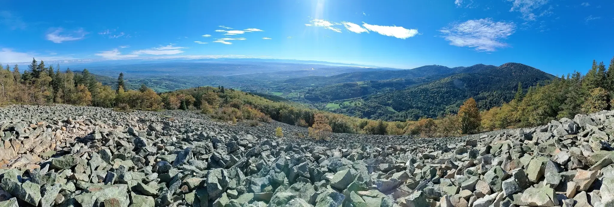
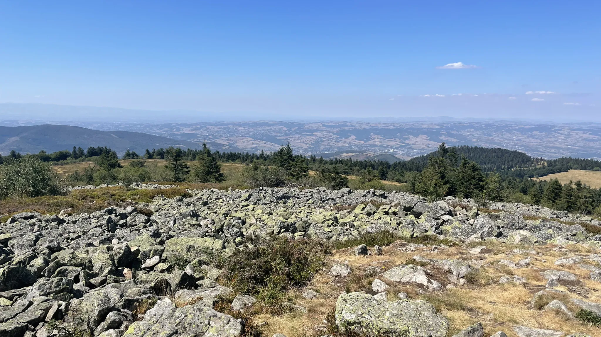
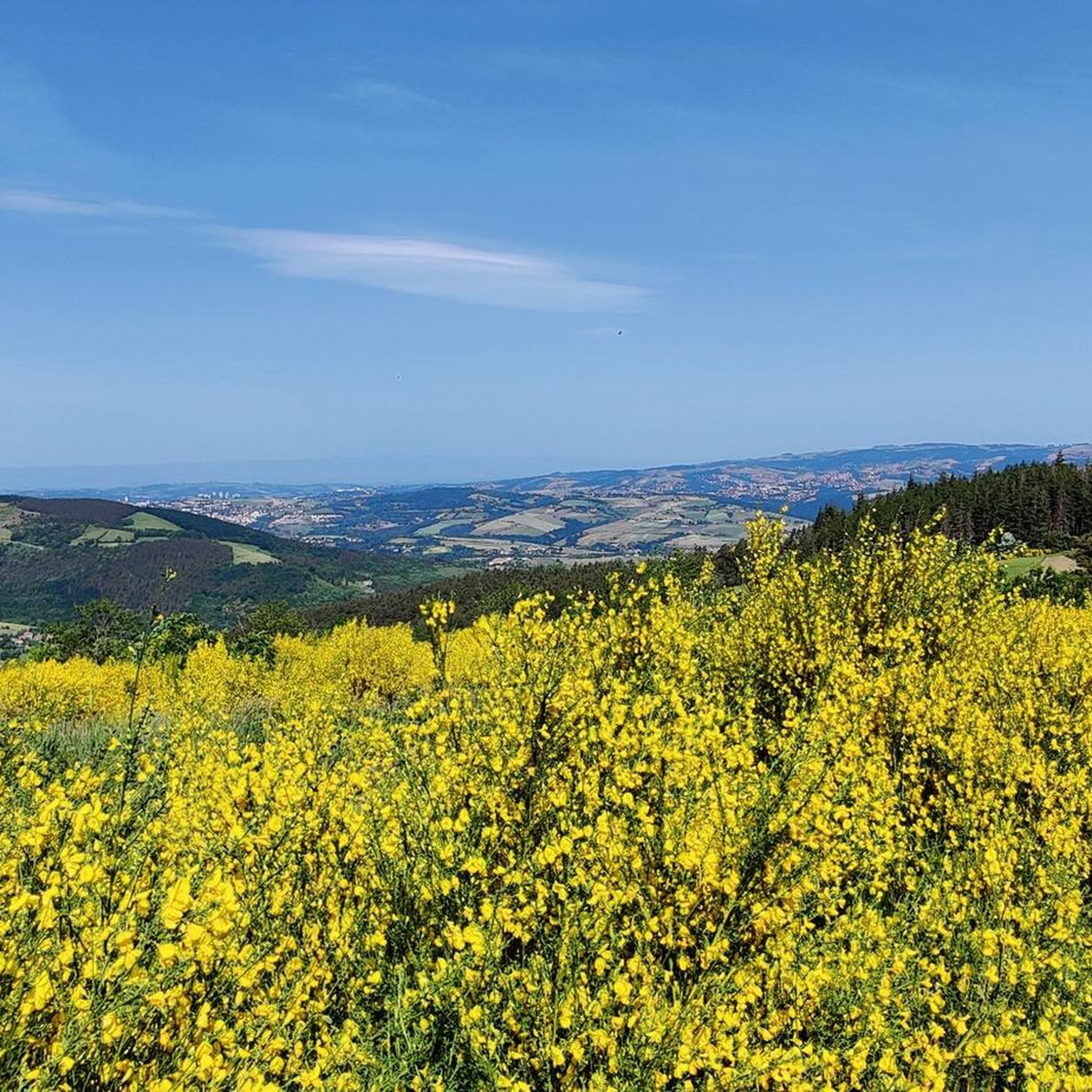
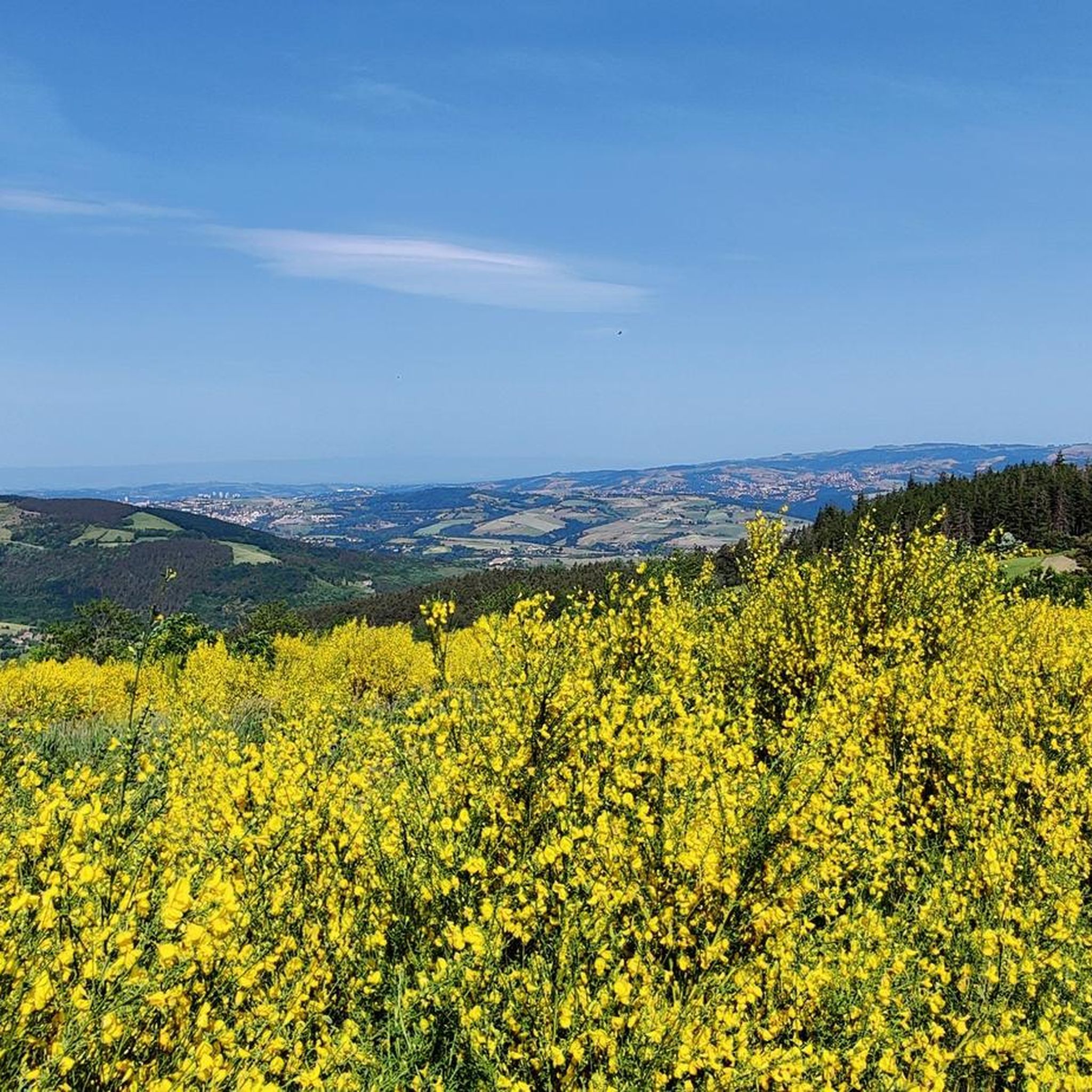
Hiking around Doizieux offers diverse landscapes within the Pilat Regional Natural Park, characterized by extensive forests, varied terrain, and notable natural features. The region features a network of trails traversing hills, river valleys, and higher elevations like the Crêt de l'Œillon. Hikers can explore areas with unique geological formations, including "chirats" and volcanic landscapes, alongside the Le Dorlay River and the Cascade du Saut du Gier.
Best hiking trails around Doizieux
- The most popular hiking route is Pilat Crests Trail…
Last updated: October 10, 2026
4.7
(235)
1,533
hikers
10.1km
02:55
260m
250m
Hike the moderate 6.3-mile Crests of Pilat trail for panoramic views across the Rhône Valley and distant Alps in Pilat Regional Natural Park
4.7
(38)
249
hikers
19.1km
06:26
960m
960m
Hard hike. Very good fitness required. Easily-accessible paths. Suitable for all skill levels.

4.6
(16)
70
hikers
9.55km
02:50
270m
270m
Moderate hike. Good fitness required. Easily-accessible paths. Suitable for all skill levels.
4.2
(26)
198
hikers
11.0km
04:04
660m
660m
Moderate hike. Good fitness required. Mostly accessible paths. Sure-footedness required.
4.5
(41)
428
hikers
7.19km
02:08
210m
220m
Moderate hike. Good fitness required. Easily-accessible paths. Suitable for all skill levels.
Get access to more routes and recommendations from other explorers.
Already have an account?
Our route recommendations are based on thousands of hikes, rides, and runs completed by other people on komoot.
Start today with a free account
Your next adventure awaits.


Tips from the Community

Then a great hike but at the waypoint (just before 2) we had to detour to the northwest: the path became very complicated with the dogs and it was a tick nest, there was too much vegetation and the trail was not legible. We lost a little less than 10 minutes but without cutting as the itinerary suggests and by taking the path, everything went very well.
0
0

Very nice but does not deserve its easy trail status.
0
0

a mandatory stop with reservation recommended
0
0

A superb November morning, with a changing mist.
0
0

The water in the fountain is super fresh, very beautiful view and good refuge
0
0

The Col du Pilat. A billiard-style surface from Le Collet. It's worth continuing the climb to Crêt de la Botte (second antenna after the parking lot) for a nearly 360-degree panorama.
0
0
Highly recommended place of perdition. Morels galore.
0
0

Any self-respecting cyclist must, after reaching the Col de l'Oeillon, continue to the Crêt de l'Oeillon, the true summit and final objective of this climb!
0
0
Frequently Asked Questions
How many hiking trails are available around Doizieux?
Doizieux offers a wide selection of hiking opportunities, with nearly 100 trails to explore. These routes cater to various skill levels, including 29 easy, 45 moderate, and 22 difficult options.
Are there any family-friendly hiking options in Doizieux?
Yes, Doizieux has several trails suitable for families. While specific 'family-friendly' routes aren't detailed, the region offers 29 easy trails that are generally well-suited for a leisurely outing with children. The diverse terrain within the Pilat Regional Natural Park ensures there are gentle paths through forests and along rivers.
Can I bring my dog on the hiking trails in Doizieux?
The Pilat Regional Natural Park, which encompasses Doizieux, generally welcomes dogs on trails, often requiring them to be on a leash to protect wildlife and ensure the safety of other hikers. It's always a good idea to check specific trail regulations or local signage for any restrictions before heading out.
Are there any circular hiking routes around Doizieux?
Yes, the area features several circular routes. One popular option is the Saut du Gier Waterfall – La Jasserie Refuge loop from Pilat, a moderate 11 km trail that takes you through forested areas and past the picturesque Gier waterfall. Another is the Crêt de la Botte – Etançon Crest loop from Crêt de l'Œillon, a 7.19 km moderate hike.
What kind of natural features or landmarks can I expect to see on hikes in Doizieux?
Doizieux is rich in natural beauty. You can discover the stunning Cascade du Saut du Gier (Gier waterfall), explore unique geological formations known as 'chirats,' and enjoy panoramic views from various mountain passes. The highest point, Crêt de l'Œillon, offers magnificent 360-degree vistas of the Alps and the Rhône Valley. You might also encounter the Col de l'Œillon (1233 m), a notable mountain pass.
Are there any challenging hikes for experienced trekkers?
Absolutely. For experienced hikers seeking a challenge, the Crêt de la Perdrix via Doizieux is a difficult 19.1 km route with significant elevation gain, leading to one of the area's prominent peaks. There are 22 difficult trails in total, offering plenty of options for strenuous activity.
What do other hikers say about the trails in Doizieux?
The hiking trails in Doizieux are highly regarded by the komoot community, holding an average rating of 4.5 stars from over 800 reviews. More than 5,000 hikers have used komoot to explore the varied terrain, often praising the dense woodlands, river valleys, and panoramic viewpoints, especially those offering glimpses of the distant Alps.
Are there any hikes that offer great viewpoints or panoramic vistas?
Many trails in Doizieux provide stunning viewpoints. The Pilat Crests Trail is known for its panoramic views of the Rhône Valley and distant Alps. The Crêt de l'Œillon, the commune's highest point, offers magnificent 360-degree views, and the Col de l'Œillon is also renowned for its superb panoramas.
What is the best time of year to go hiking in Doizieux?
Doizieux offers hiking opportunities throughout the year. While summer is ideal for exploring the full network of trails and enjoying water features like the Le Dorlay River, the area also caters to winter activities, with options for winter hikes in the Massif Central. Spring and autumn provide pleasant temperatures and beautiful seasonal foliage.
Are there any lakes or dams to see near Doizieux?
Yes, the region around Doizieux features several interesting water bodies. You can visit the Rive dam spillway, the Couzon Dam, and the Soulages Dam. There's also Lake Ternay and the Gier Reservoir, offering picturesque spots for relaxation or further exploration.
Are there any unique geological formations to discover?
Doizieux is known for its unique geological features. You can explore areas with 'chirats,' which are distinctive scree slopes, and volcanic landscapes, particularly around Pic du Lizieux. These areas showcase a mosaic of copses, screes, and moors, adding a unique character to the hiking experience.
What are some moderate hiking trails in Doizieux?
Doizieux offers 45 moderate trails. Besides the popular Pilat Crests Trail, you can also consider Chirat Rochat and Crêt de Neufond, a 9.55 km route, or the Crêt de la Botte – Etançon Crest loop from Crêt de l'Œillon, which is 7.19 km long.
Most popular attractions around Doizieux

Get inspired with the komoot mobile app


Explore more
Browse the best Hikes in other regions.
