The best walks and hikes around Geishausen
4.6
(1504)
6,973
hikers
33
hikes
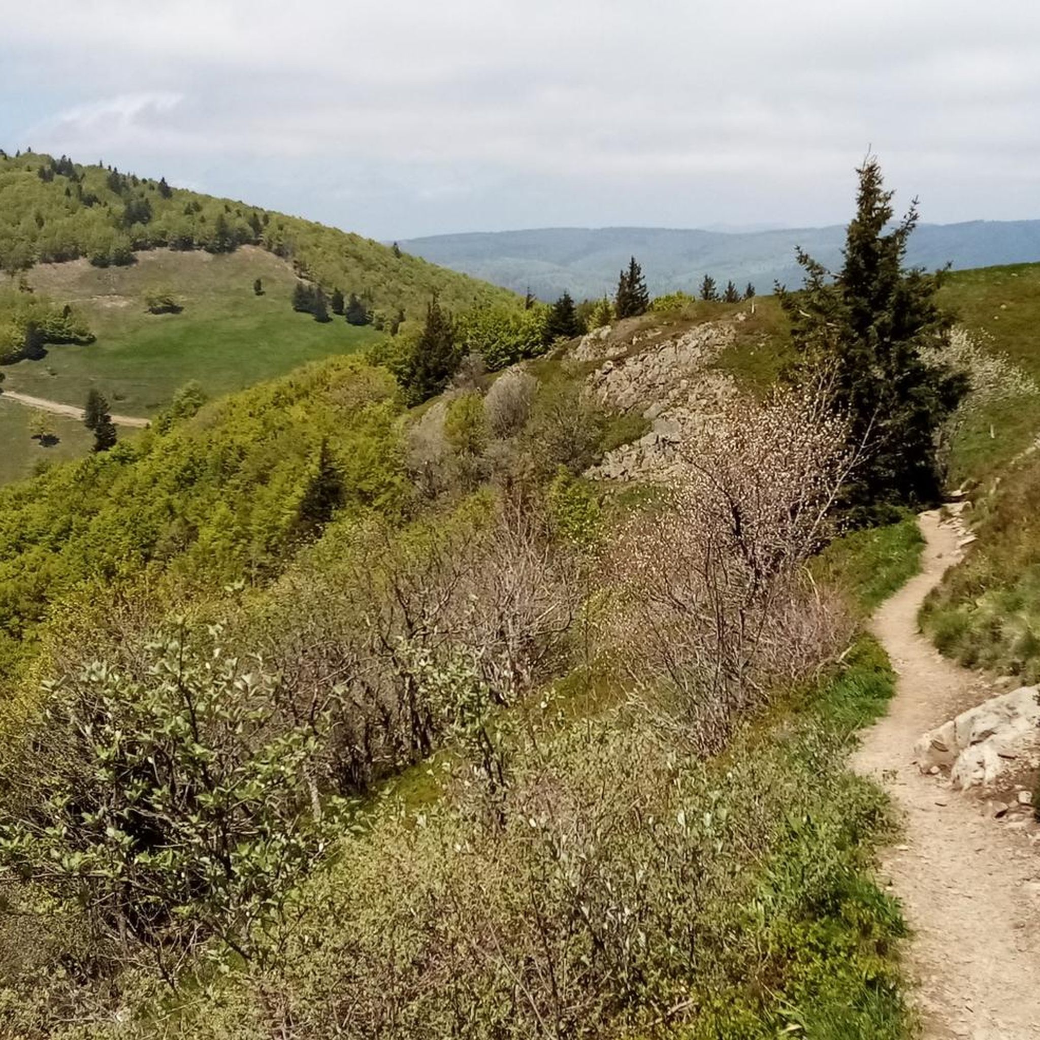
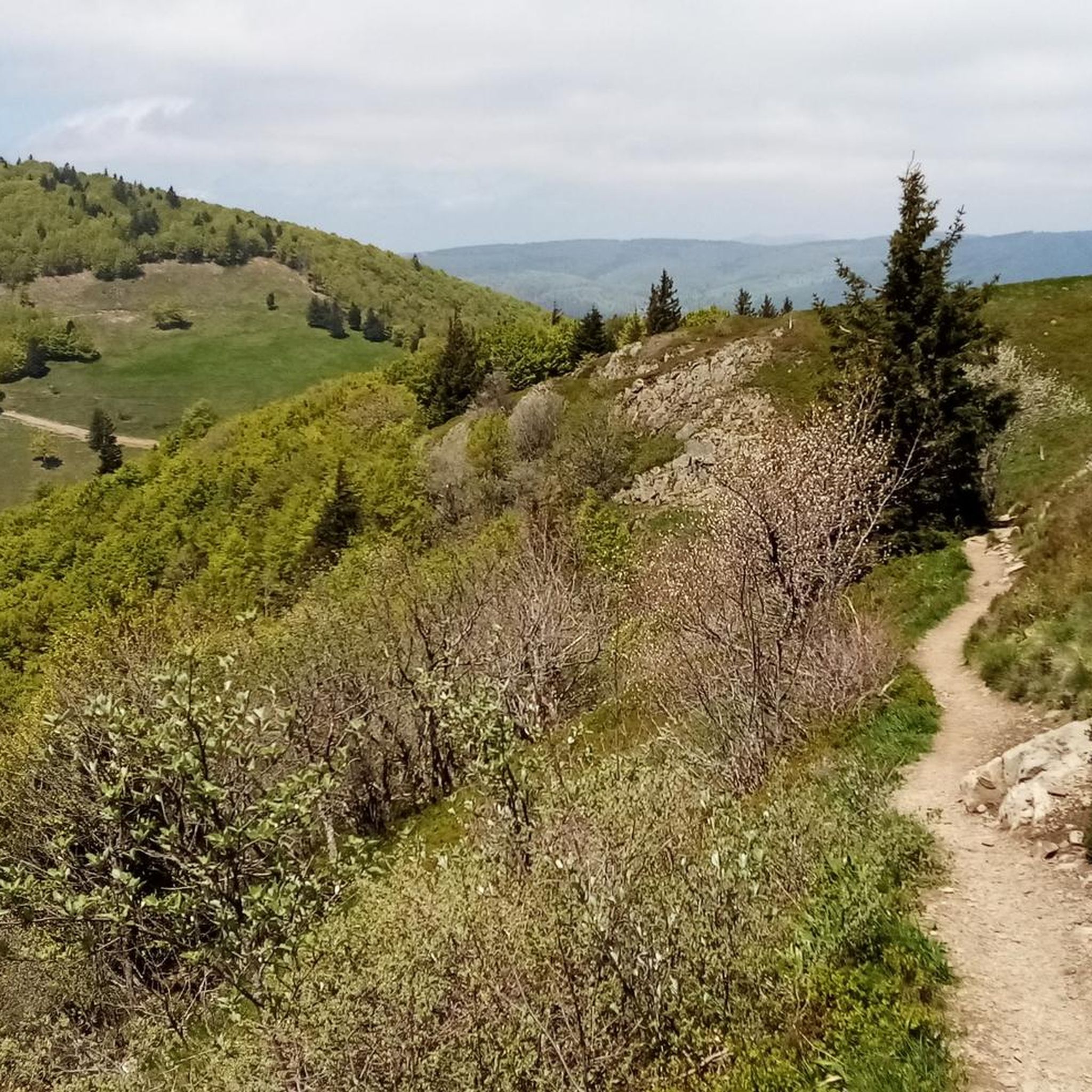
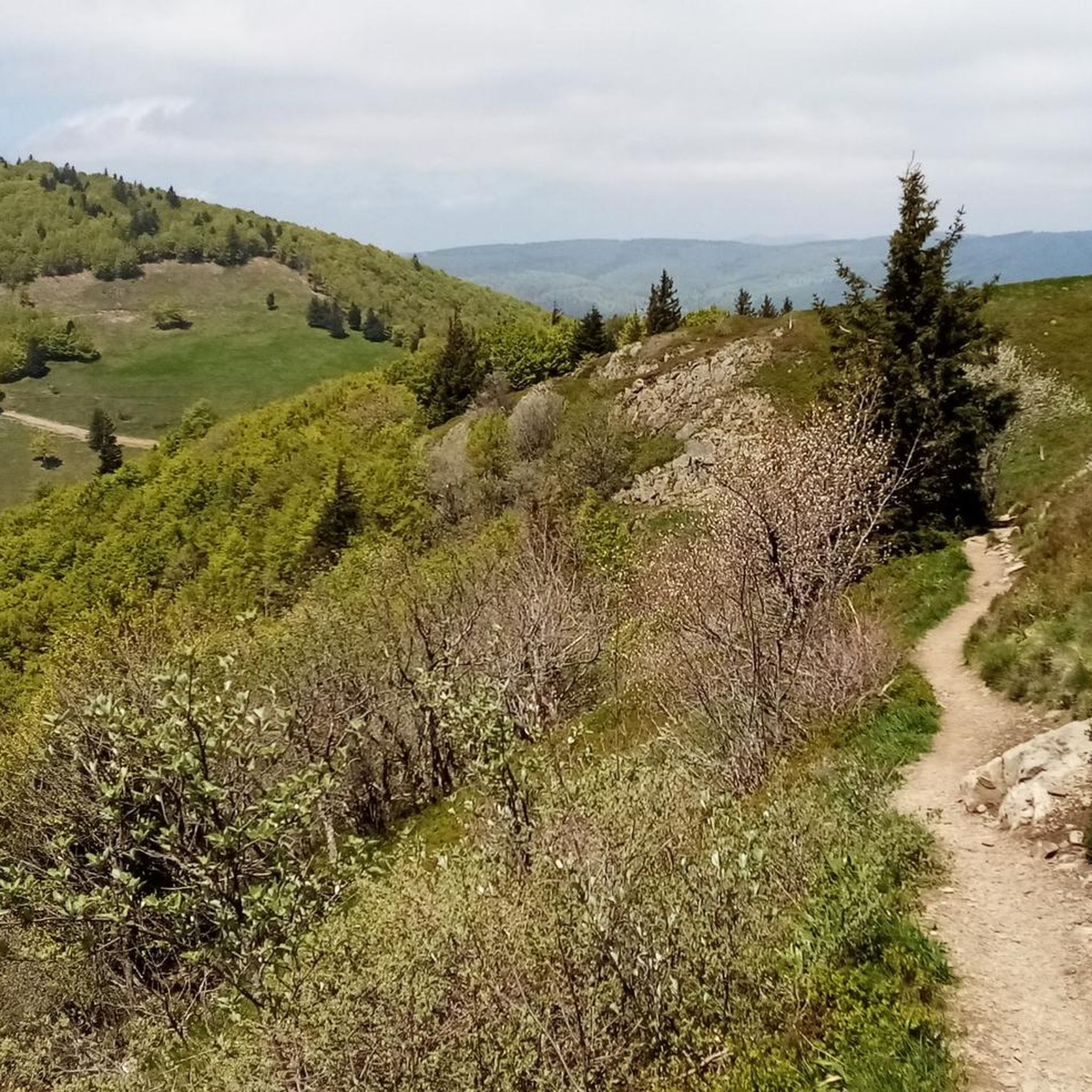
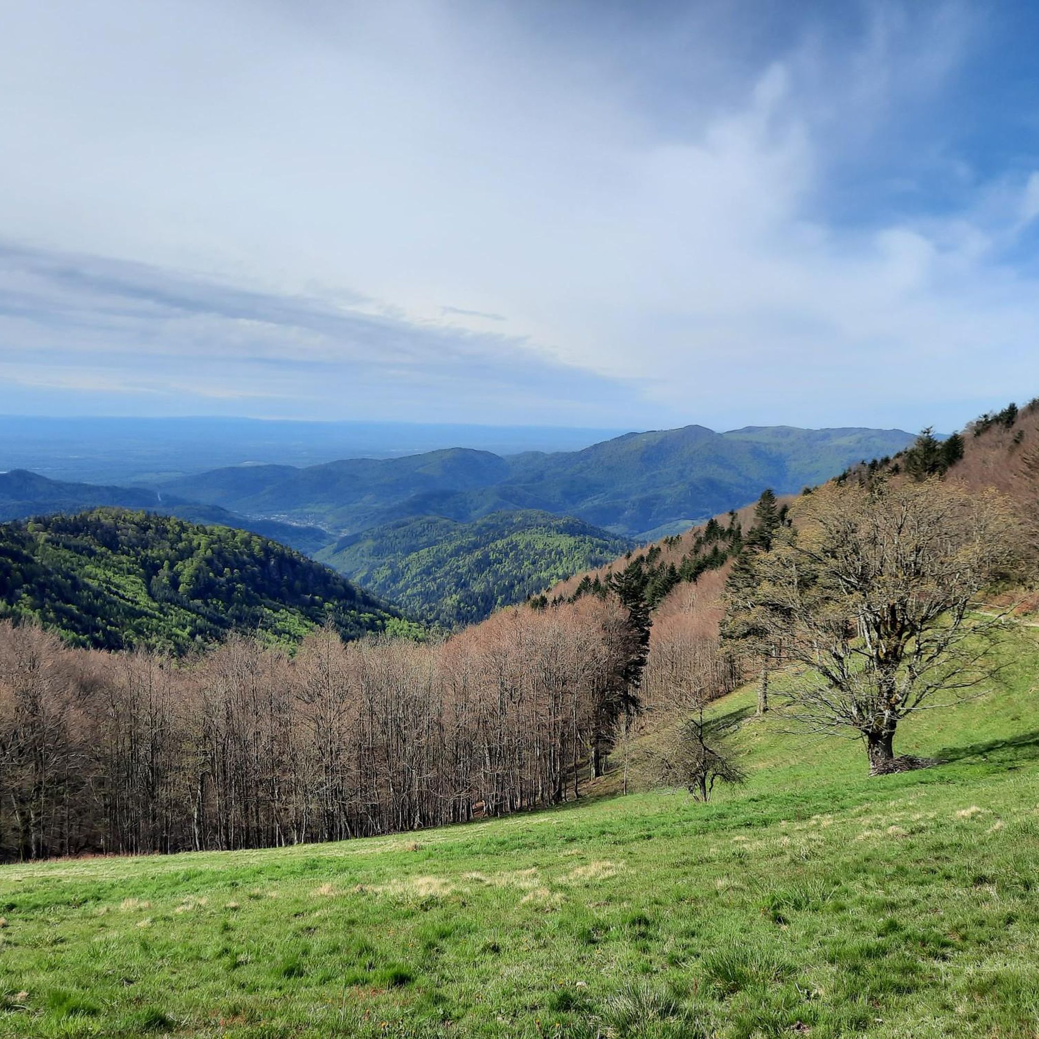
Hiking trails around Geishausen are primarily located within the Vosges mountains, offering a diverse landscape for outdoor activities. The region is characterized by significant elevation changes, including the Grand Ballon, the highest point in the Vosges. Hikers can expect a mix of forested paths, open mountain terrain, and panoramic viewpoints across the valleys.
Best hiking trails around Geishausen
- The most popular hiking route is Grand Ballon – 1,424 metres (4,672 ft): highest point in the Vosges mountains, a 5.5…
Last updated: July 1, 2026
4.7
(504)
1,985
hikers
8.89km
03:21
470m
460m
Moderate hike. Good fitness required. Mostly accessible paths. Sure-footedness required.
4.9
(64)
246
hikers
19.5km
07:16
1,000m
1,010m
Hard hike. Very good fitness required. Mostly accessible paths. Sure-footedness required.

Sign up for free
4.7
(54)
252
hikers
13.6km
04:52
690m
690m
Moderate hike. Good fitness required. Mostly accessible paths. Sure-footedness required.
4.7
(123)
476
hikers
Moderate hike. Great for any fitness level. Mostly accessible paths. Sure-footedness required.
4.7
(15)
100
hikers
14.5km
05:06
810m
810m
Hard hike. Very good fitness required. Mostly accessible paths. Sure-footedness required.
Get access to more routes and recommendations from other explorers.
Sign up for free
Already have an account?
Our route recommendations are based on thousands of hikes, rides, and runs completed by other people on komoot.
Start today with a free account
Your next adventure awaits.
Login or Signup

Other adventures around Geishausen

Tips from the Community

Here you can see everything, no wonder it's the highest point of the Vosges (1442m).
0
0

Sturdy shoes recommended, sometimes loose stones.
0
0
In nice weather a view of the Alps
0
0

At the summit of the Grand-Ballon stands the monument of the Blue Devils, erected on the initiative of the French Alpine Club and the Vosges Club in homage to the victims of the Alpine hunter battalions engaged in the fighting of the 1914-1918 war.
0
0
The radar was designed as an architectural masterpiece by its designer, Claude Vasconi, and was built in 1997. Under the radome, visitors can access an orientation table offering superb views.
0
0

Beautiful hike and the view at the top is breathtaking!!
0
0

It is impressive how quickly conditions can change in bad weather on the way to the Grand Ballon
0
0

Frequently Asked Questions
How many hiking trails are available around Geishausen?
There are over 35 hiking trails around Geishausen, offering a wide range of options for different skill levels. You'll find everything from easy strolls to challenging mountain ascents.
What kind of terrain can I expect on hikes in the Geishausen area?
Hikes around Geishausen are primarily located within the Vosges mountains, characterized by significant elevation changes. You can expect a mix of dense forested paths, open mountain terrain, and panoramic viewpoints across the valleys. The region is known for its high mountain peaks, including the Grand Ballon.
Are there easy hiking options suitable for beginners or families?
Yes, Geishausen offers 11 easy hiking routes perfect for beginners or families. These trails typically feature gentler inclines and shorter distances, allowing everyone to enjoy the beautiful Vosges landscape.
Can I find challenging long-distance hikes around Geishausen?
Absolutely. For experienced hikers seeking a challenge, there are 5 difficult routes available. One such demanding option is the Grand Ballon – Ballon Lake loop from Grand Ballon, which covers 12.1 miles (19.5 km) with significant elevation changes, offering extensive views and varied terrain.
Are there circular hiking routes available?
Yes, many of the trails around Geishausen are circular routes, allowing you to start and end at the same point. For example, the Ballon Lake – Superb panorama of the Vosges loop from Grand Ballon is a 7.8-mile (12.6 km) loop through mountain landscapes, offering stunning views.
What are some notable natural attractions or viewpoints to see while hiking?
The Vosges mountains around Geishausen are rich in natural beauty. You can explore highlights such as Petit Ballon, the serene Ballon Lake, and the impressive Grand Ballon itself. Don't miss the Viewpoint at the summit of Vieil Armand for breathtaking panoramas.
What do other hikers say about the trails in Geishausen?
The hiking trails in Geishausen are highly rated by the komoot community, with an average score of 4.6 stars from over 1500 reviews. Hikers frequently praise the diverse terrain, the stunning panoramic views of the Vosges, and the well-maintained paths that cater to various ability levels.
Are there any specific landmarks near the hiking trails?
Beyond natural features, you can encounter historical landmarks. The Hartmannswillerkopf National Monument is a significant site near some trails, offering a glimpse into the region's past amidst the scenic landscape.
What is the best time of year to go hiking in the Vosges mountains near Geishausen?
The best time for hiking in the Vosges mountains is typically from late spring to early autumn (May to October), when the weather is mild, and trails are clear of snow. During these months, you'll experience lush greenery and comfortable temperatures for exploring.
Are dogs allowed on the hiking trails in Geishausen?
Generally, dogs are welcome on hiking trails in the Vosges mountains, but it's always recommended to keep them on a leash, especially in nature reserve areas or near livestock. Always check local signage for specific regulations on individual routes.
Are there options for winter hiking in Geishausen?
While the Vosges mountains can be beautiful in winter, many higher-altitude trails may be covered in snow and require specialized equipment like snowshoes. Some lower-elevation paths might still be accessible, but it's crucial to check local conditions and weather forecasts before heading out.
Can I find places to eat or drink along the hiking routes?
Many popular hiking areas in the Vosges, especially near summits or lakes, often have mountain huts (refuges) or small restaurants where you can stop for refreshments. It's advisable to check the specific route details or local information beforehand, especially for longer or more remote trails.
Most popular routes around Geishausen
Most popular attractions around Geishausen

Get inspired with the komoot mobile app


Explore more
Browse the best Hikes in other regions.
