The best gravel rides around Geishausen
4.6
(14)
220
riders
27
rides
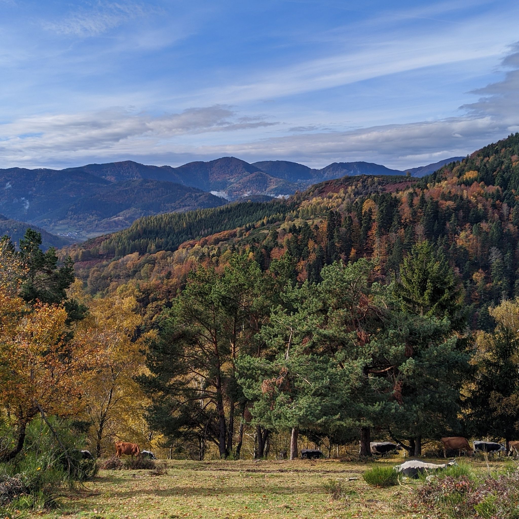
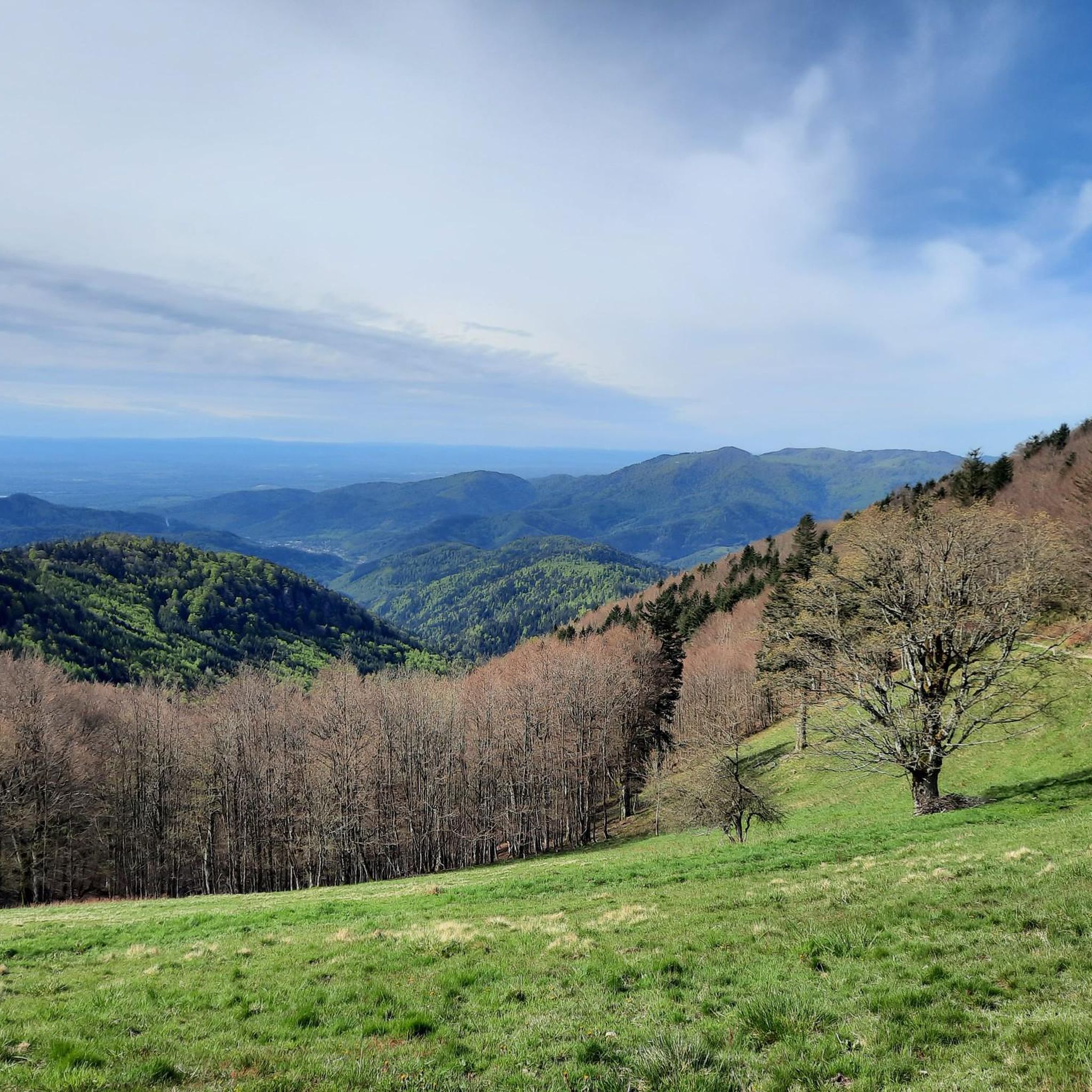
Gravel biking around Geishausen offers routes through the elevated terrain of the Vosges Mountains. The landscape is characterized by significant climbs and descents, featuring mountain passes, forested sections, and open ridgelines. This region provides a challenging environment for gravel cyclists, with routes often reaching high elevations. Geishausen cycling terrain elevation difficulty is a key aspect of the experience here.
Best gravel bike trails around Geishausen
- The most popular gravel bike trail is Grand Ballon – Col Amic Pass loop from…
Last updated: July 3, 2026
5.0
(3)
56
riders
55.5km
03:57
1,220m
1,220m
Hard gravel ride. Very good fitness required. Mostly paved surfaces. Suitable for all skill levels.
5.0
(2)
14
riders
16.1km
01:22
530m
530m
Hard gravel ride. Very good fitness required. Mostly paved surfaces. Suitable for all skill levels.

Sign up for free
5.0
(1)
9
riders
20.1km
01:40
630m
630m
Hard gravel ride. Very good fitness required. Mostly paved surfaces. Suitable for all skill levels.
9
riders
72.3km
06:17
1,910m
1,910m
Hard gravel ride. Very good fitness required. Mostly paved surfaces. Suitable for all skill levels.
3.0
(1)
5
riders
32.2km
03:07
1,140m
1,140m
Hard gravel ride. Very good fitness required. Mostly paved surfaces. Suitable for all skill levels.
Get access to more routes and recommendations from other explorers.
Sign up for free
Already have an account?
Our route recommendations are based on thousands of hikes, rides, and runs completed by other people on komoot.
Start today with a free account
Your next adventure awaits.
Login or Signup

Other adventures around Geishausen

Tips from the Community

Lovingly nicknamed "the Autobahn" by me, it leads from Geishouse up to the Col du Haag, and is designed so that there is rarely a gradient over 10%. The Tour de France also rides up here 😬
0
0


Great bike path, best asphalt, steep ramps
0
0

Great climb - a must for every road cyclist
0
0

It's a dedicated cycle path with a good surface and road markings. There are no cars, despite the winding road. It's a great ride for both ascents and descents, and the scenery is beautiful.
0
0

The artificially created, yet idyllically situated "Lac de la Lauch" lake is featured in the komoot system not only for joggers, but also as a highlight for various sports, including hikers, with many more photos uploaded there. If you're interested, see =>>https://www.komoot.com/de-de/highlight/308200
0
0


The Col de Herrenfluh is located at an altitude of 837 metres in the Vosges, between Uffholtz and Wattwiller. The summit is located along the Route des Crêtes and offers magnificent views over the Rhine Valley and the surrounding forests. Nearby are the ruins of the Château du Herrenfluh, which was once an observation post during the First World War (but difficult to reach for a cyclist).
6
0
Frequently Asked Questions
What is the typical terrain like for gravel biking around Geishausen?
Gravel biking around Geishausen primarily involves routes through the elevated terrain of the Vosges Mountains. You can expect significant climbs and descents, often navigating mountain passes, dense forested sections, and open ridgelines. The routes are generally challenging, designed for experienced riders seeking substantial elevation changes.
How challenging are the gravel bike trails in Geishausen?
The gravel bike trails in the Geishausen area are predominantly difficult. Out of 29 available routes, 28 are rated as difficult, indicating they are best suited for experienced riders. These trails often feature sustained climbs and varied surfaces across high-altitude terrain.
Are there any notable landmarks or viewpoints along the gravel bike trails near Geishausen?
Yes, the region offers several interesting points along or near the trails. You might encounter historical sites like the Adlerhorst Command Post – World War I or the Veilchenstein German WW1 Bunker. For natural features, there are caves such as the Lower Rehfelsen Tunnels, and mountain passes like Boenlesgrab Pass. Many routes also offer stunning viewpoints from ridgelines.
Can I find circular gravel bike routes in the Geishausen area?
Yes, many of the gravel bike routes around Geishausen are designed as loops. For example, the Markstein – Haag Pass loop from Grand Ballon is a challenging 72.1 km circular route, and the Grand Ballon – Grand Ballon loop from Kruth offers an even longer 124 km loop.
When is the best time of year for gravel biking in the Geishausen area?
Given the elevated terrain of the Vosges Mountains, the best time for gravel biking is typically from late spring through early autumn (May to October). During these months, you'll generally find more favorable weather conditions, less snow at higher elevations, and open mountain passes. Winter riding can be very challenging due to snow and ice.
Are there family-friendly gravel biking options around Geishausen?
The gravel biking routes around Geishausen are primarily designed for experienced riders due to their significant elevation changes and difficult terrain. With 28 out of 29 routes rated as difficult, options suitable for families or beginners are very limited. These trails are best enjoyed by those comfortable with challenging mountain biking conditions.
Is parking available near the gravel bike trails in Geishausen?
While specific parking locations are not detailed for every route, many trailheads in popular mountain biking regions like the Vosges Mountains typically offer designated parking areas, especially near major passes or starting points for longer tours. It's advisable to check the individual route details on komoot for specific parking information before you go.
Are there places to stop for refreshments or accommodation along the gravel routes?
Yes, you can find various huts and farm inns that offer refreshments or even accommodation. Notable spots include the Kahlenwasen Farm Inn, Haag Farm, and the Grand Ballon Chalet Hotel. These can be excellent places to refuel during your ride.
What do other gravel bikers enjoy the most about gravel biking in Geishausen?
The area is highly rated by the komoot community, with an average score of 4.6 stars from over 20 reviews. Riders often praise the challenging mountain passes, extensive ridgelines, and dense forest sections that define the experience. The significant elevation changes and varied terrain are particularly appreciated by those seeking a demanding ride.
How many gravel bike trails are available in the Geishausen area?
There are over 25 gravel bike trails available around Geishausen. The komoot community has mapped 29 distinct routes, offering a wide range of options for exploring the Vosges Mountains.
Are there any long-distance gravel routes for advanced riders?
Absolutely. For advanced riders seeking a significant challenge, the Grand Ballon – Grand Ballon loop from Kruth stands out. This route covers an impressive 124 km with nearly 3000 meters of elevation gain, offering a truly demanding experience across the high-altitude terrain.
Most popular routes around Geishausen
Most popular attractions around Geishausen

Get inspired with the komoot mobile app


Explore more
Browse the best Gravel rides in other regions.
