The best cycling routes around La Roche-Des-Arnauds
4.5
(260)
5,517
riders
306
rides
Touring cycling around La Roche-Des-Arnauds offers varied terrain within an Alpine setting, with altitudes ranging from 885m to over 2700m. The region features valley roads, challenging mountain passes, and routes along the Petit Buëch river and near Lake Pelleautier. Geological formations like the cliffs of La Barre and marls at Espréaux Pass add visual interest to the routes. This area provides a diverse environment for touring cyclists.
Best touring cycling routes around La Roche-Des-Arnauds
- The most popular touring cycling route…
Last updated: July 1, 2026
4.3
(3)
31
riders
Hard bike ride. Very good fitness required. Mostly paved surfaces. Suitable for all skill levels.
3.0
(1)
48
riders
28.6km
02:05
620m
620m
Hard bike ride. Very good fitness required. Mostly paved surfaces. Suitable for all skill levels.

Sign up for free
5.0
(2)
23
riders
Hard bike ride. Very good fitness required. Mostly paved surfaces. Suitable for all skill levels.
14
riders
40.7km
03:59
1,210m
1,210m
Hard bike ride. Very good fitness required. Mostly paved surfaces. Suitable for all skill levels.
5.0
(2)
13
riders
28.8km
03:07
970m
970m
Hard bike ride. Very good fitness required. Mostly paved surfaces. Suitable for all skill levels.
Get access to more routes and recommendations from other explorers.
Sign up for free
Already have an account?
Our route recommendations are based on thousands of hikes, rides, and runs completed by other people on komoot.
Start today with a free account
Your next adventure awaits.
Login or Signup
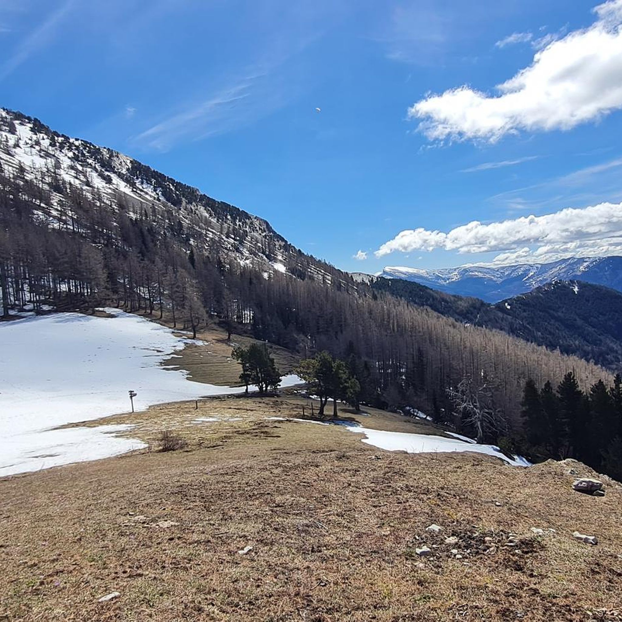
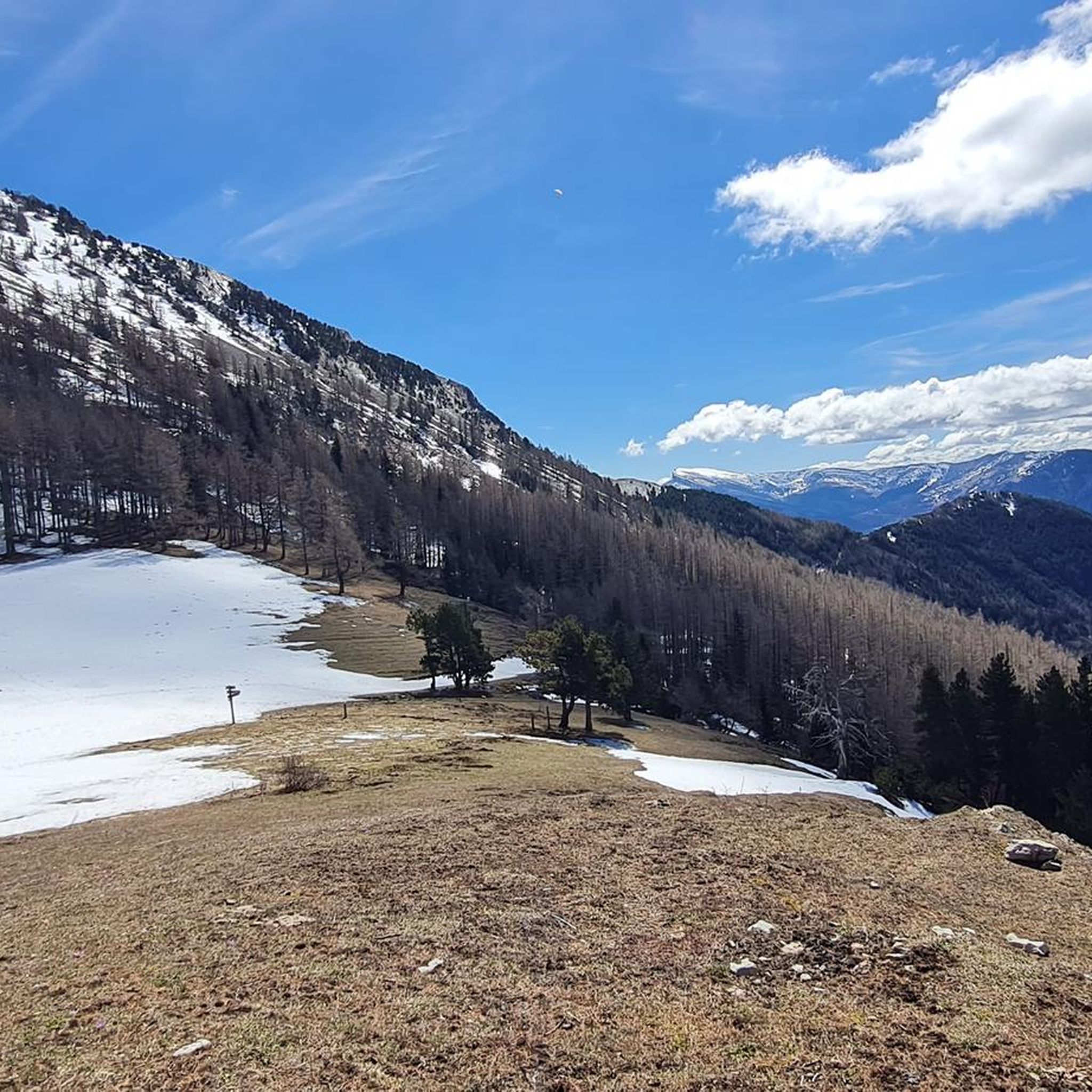
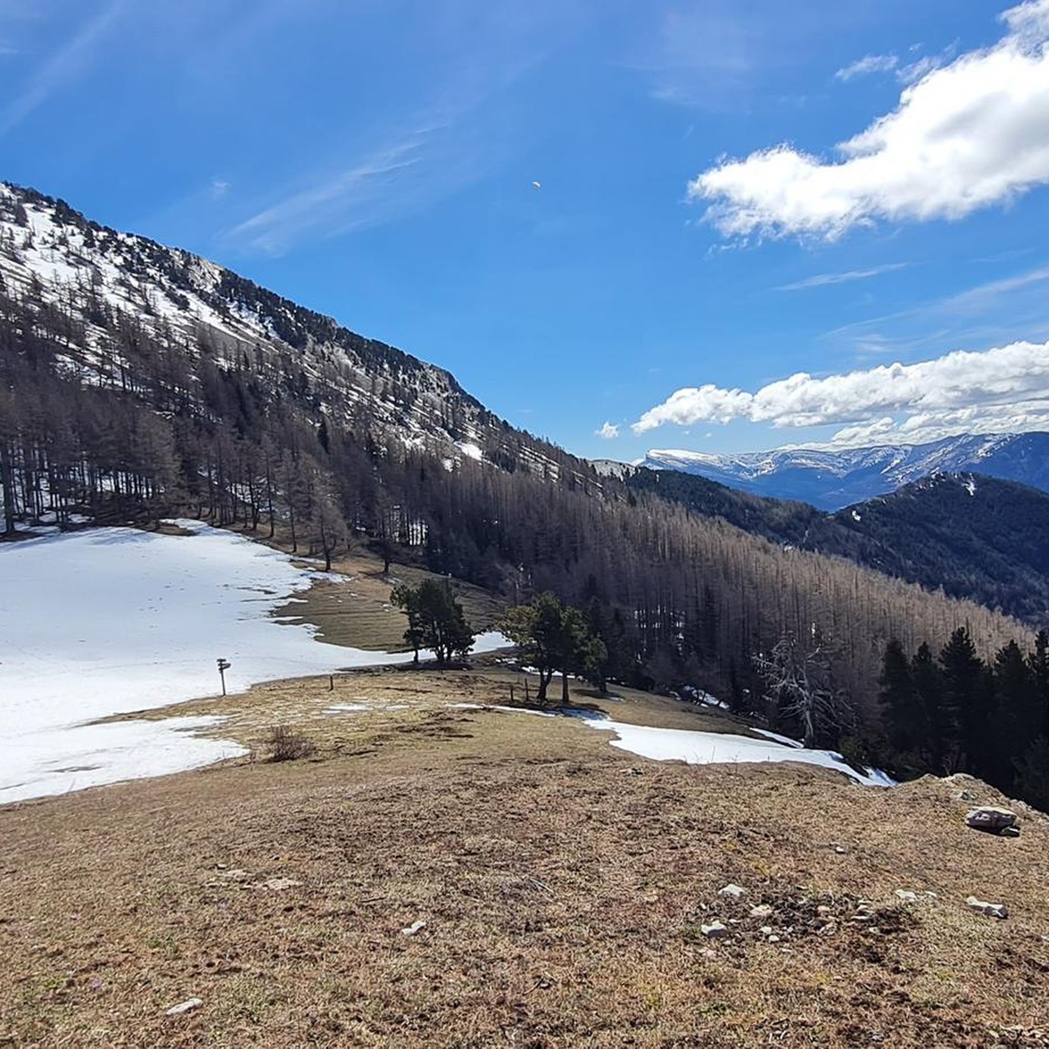
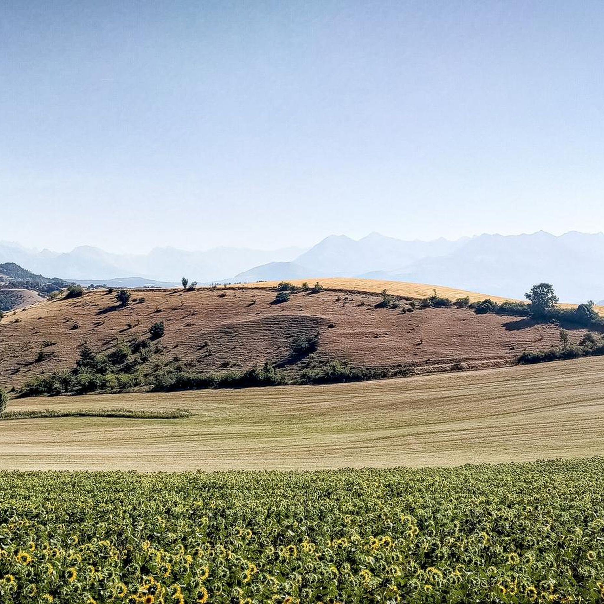


Tips from the Community

Very quiet but (http://rosetoy.cam/) extremely effective.
0
0

A road which gives you direct access to the Ceüze pass from the old ski slopes, or take the direction of the village of Manteyer to arrive at the Peleautier lake.
0
0

It is one of the highest bocages in Europe. These landscapes are typical in France, but this one is one of the best preserved. It has a superb network of beech hedges, crops, meadows and woods which attracts beautiful biodiversity and many birds.
0
0
The Col de Gleize car park is located next to a designated picnic area. It is the starting point for many hiking trails that intersect here.
0
0

This path borders the Gap canal. The Gap canal collects water from the Drac in Haut-Champsaur and brings it to the Gapençais basin, where it is mainly used to supply the town of Gap with drinking water. The walk along the water reveals beautiful views of the surrounding landscapes.
0
0

Frequently Asked Questions
How many touring cycling routes are available around La Roche-des-Arnauds?
There are over 300 touring cycling routes in the La Roche-des-Arnauds area, offering a wide range of options for different skill levels. You'll find everything from easier rides along river valleys to challenging mountain ascents.
What is the best time of year for touring cycling in La Roche-des-Arnauds?
La Roche-des-Arnauds benefits from around 300 days of sunshine a year, making it suitable for touring cycling for much of the year. The spring and autumn months generally offer pleasant temperatures and beautiful scenery, while summer can be warm, especially in the valleys. High mountain passes might be inaccessible due to snow in winter or early spring.
Are there any easy touring cycling routes for beginners or families?
Yes, while many routes are challenging, there are 27 easy routes available. You can find more leisurely touring experiences along the bucolic banks of the Petit Buëch river. For a scenic and relatively flat option, consider routes near Lake Pelleautier.
What kind of terrain can I expect on touring cycling routes in this region?
The region offers diverse terrain, ranging from 885m to over 2700m in altitude. You'll encounter valley roads, challenging mountain passes like the Col de Gleize, and routes that pass under impressive geological features such as the Cliffs of La Barre. Most routes feature mostly paved surfaces, ideal for touring cyclists.
What are some notable landmarks or scenic viewpoints I can visit by bike?
You can cycle to the ruins of an 11th-century tower above La Roche-des-Arnauds for panoramic views. Routes also offer stunning vistas of the Massif de Céüse, and you can explore charming villages. For specific viewpoints, consider routes that pass near Collet du Tat or offer views of Pic de Bure.
Are there any circular touring cycling routes available?
Yes, many routes in the area are designed as loops. For instance, the challenging Col de Gleize (1691 m) – Gap Canal Walk loop from La Roche-des-Arnauds offers a demanding ride with significant elevation gain. Another option is the Tour of the Céüse Plateau loop from Manteyer.
What do other touring cyclists say about the routes in La Roche-des-Arnauds?
The touring cycling routes around La Roche-des-Arnauds are highly rated by the komoot community, with an average score of 4.5 stars from over 250 reviews. Cyclists often praise the varied Alpine terrain, the stunning panoramic views, and the diverse options for different fitness levels.
Can I access touring cycling routes using public transport?
While specific public transport options directly to trailheads may be limited in this rural Alpine region, the larger town of Gap is only 10 km away and offers more amenities and potential transport links. It's advisable to check local bus schedules or consider starting points accessible by car.
Where can I find parking for touring cycling routes?
Many routes start from villages like La Roche-des-Arnauds or Manteyer, where you can typically find local parking. For routes originating from specific passes, such as the Col du Festre, there are often designated parking areas available for outdoor enthusiasts.
Are there any routes that pass by lakes or rivers?
Yes, the region is characterized by its natural water features. You can find routes that follow the Petit Buëch river for a more relaxed experience. The Pelleautier Lake – Tallard Castle loop from Manteyer is a challenging route that passes by Lake Pelleautier, offering scenic views.
What are some challenging touring cycling routes in the area?
For experienced touring cyclists seeking a challenge, the region offers numerous difficult routes. The Massif de Céüse – View from the foot of the Massif de Céüse loop from La Roche-des-Arnauds is a demanding option with significant elevation gain, providing stunning views of the Massif de Céüse.
Are there any historical sites or charming villages to explore along the routes?
Absolutely. La Roche-des-Arnauds itself is a picturesque village with historical elements like the ruins of an 11th-century tower and a 15th-century church. Many touring cycling routes will take you through or near other charming villages, allowing for cultural stops and exploration of the region's heritage.
Most popular routes around La Roche-Des-Arnauds
Most popular attractions around La Roche-Des-Arnauds

Get inspired with the komoot mobile app


Explore more
Browse the best Cycling routes in other regions.
