The best MTB trails around La Roche-Des-Arnauds
4.4
(368)
3,313
riders
229
rides
Mountain biking around La Roche-Des-Arnauds offers diverse landscapes within the Southern French Alps, characterized by significant altitude variations and unique geological features. The region features distinctive marls creating geometric shapes in the mountains, alongside prominent formations like the Massif de Céüse. Trails often follow the banks of the Petit Buëch River and ascend through areas like the Matacharre Forest, providing varied terrain for mountain bikers.
Best mountain bike trails around La Roche-Des-Arnauds
- The most popular mountain bike trail is La…
Last updated: July 1, 2026
4.0
(2)
18
riders
38.9km
04:28
1,070m
1,070m
Hard mountain bike ride. Very good fitness required. Advanced riding skills necessary. Some portions of the route may require you to push your bike.
5.0
(3)
19
riders
Hard mountain bike ride. Very good fitness required. Advanced riding skills necessary. Some portions of the route may require you to push your bike.

Sign up for free
3.0
(2)
13
riders
32.6km
03:58
1,170m
1,170m
Hard mountain bike ride. Very good fitness required. Advanced riding skills necessary. Some portions of the route may require you to push your bike.
5.0
(2)
15
riders
37.6km
04:01
1,220m
1,220m
Hard mountain bike ride. Very good fitness required. Suitable for all skill levels.
4.3
(3)
11
riders
33.4km
03:32
1,040m
1,040m
Hard mountain bike ride. Very good fitness required. Suitable for all skill levels.
Get access to more routes and recommendations from other explorers.
Sign up for free
Already have an account?
Our route recommendations are based on thousands of hikes, rides, and runs completed by other people on komoot.
Start today with a free account
Your next adventure awaits.
Login or Signup
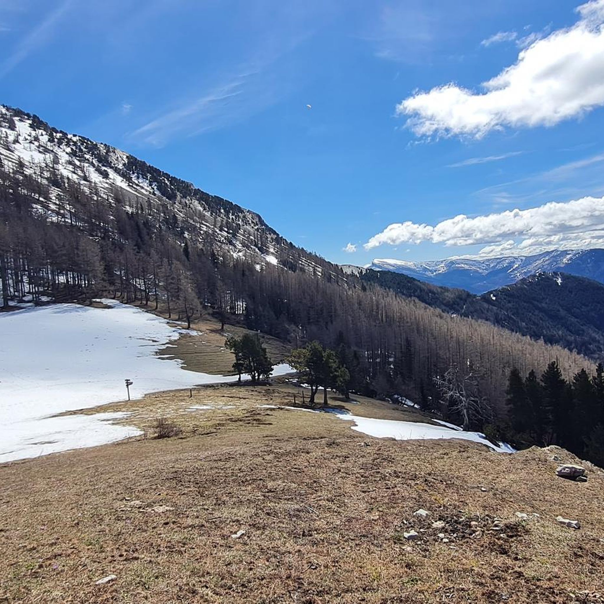
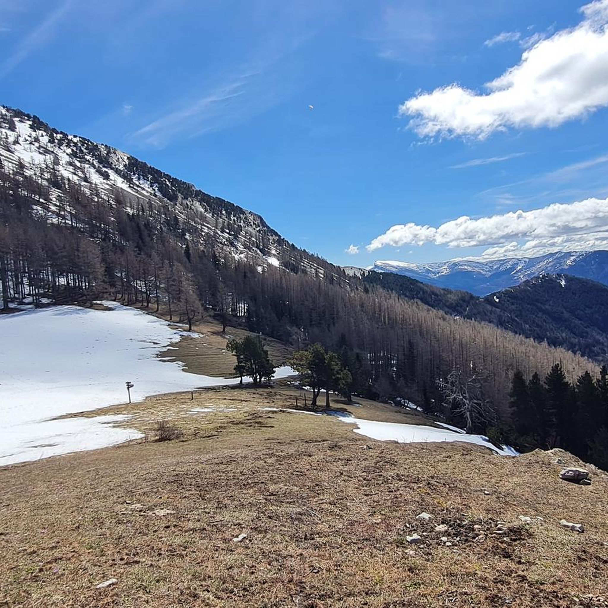
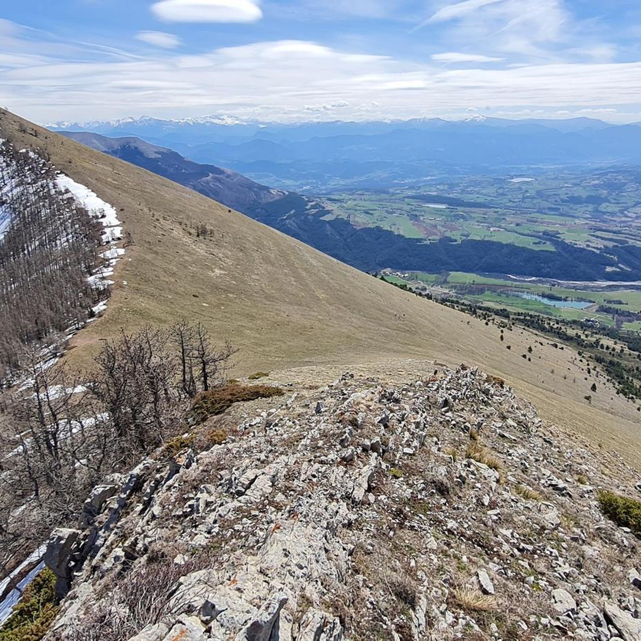
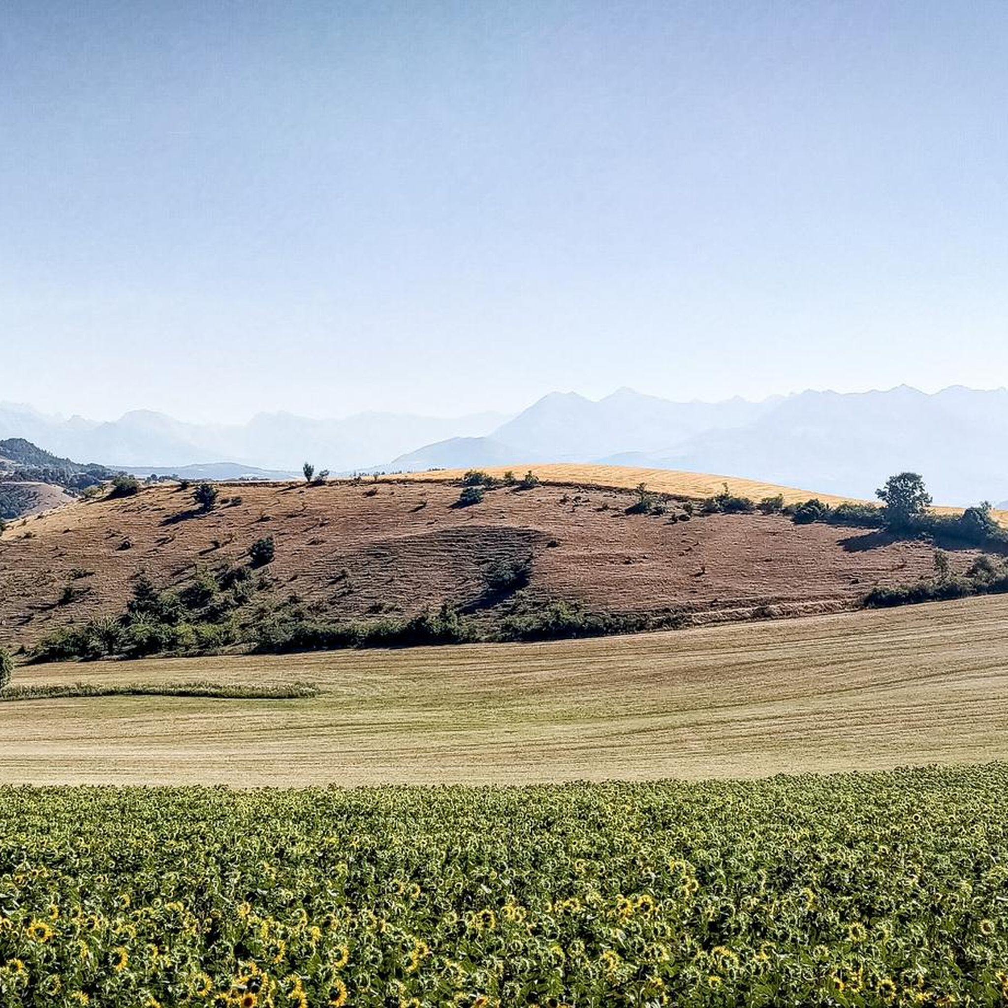


Tips from the Community

Very quiet but (http://rosetoy.cam/) extremely effective.
0
0

A road which gives you direct access to the Ceüze pass from the old ski slopes, or take the direction of the village of Manteyer to arrive at the Peleautier lake.
0
0

Descent towards the hamlet
1
0

The Col de Gleize car park is located next to a designated picnic area. It is the starting point for many hiking trails that intersect here.
0
0
The car park is accessible at the end of the Sauvas forest road. From there, you are at the start of the path which leads to the very mineral summits of Dévoluy.
0
0

This path borders the Gap canal. The Gap canal collects water from the Drac in Haut-Champsaur and brings it to the Gapençais basin, where it is mainly used to supply the town of Gap with drinking water. The walk along the water reveals beautiful views of the surrounding landscapes.
0
0
Km 18 to km 22 too dangerous to cycle. Also a beautiful trail
0
0
Frequently Asked Questions
How many mountain bike trails are available around La Roche-des-Arnauds?
There are over 230 mountain bike trails around La Roche-des-Arnauds, offering a wide range of options for all skill levels. This includes approximately 20 easy routes, over 140 moderate routes, and about 75 difficult routes for experienced riders.
What kind of terrain can I expect on the mountain bike trails in La Roche-des-Arnauds?
The terrain is highly varied, reflecting the region's alpine setting in the Southern French Alps. You'll encounter significant altitude changes, unique geological formations like the marls creating distinctive geometric shapes, and routes along the Petit Buëch River. Trails also ascend through forests like Matacharre, providing a mix of challenging climbs, rapid descents, and panoramic double tracks.
Are there any family-friendly mountain bike trails in the area?
Yes, La Roche-des-Arnauds offers options for family-friendly rides. While many routes are challenging, there are around 20 easy routes suitable for more leisurely outings, allowing families to enjoy the beautiful landscapes together. These trails often feature less technical sections and more gentle gradients.
What are the best times of year for mountain biking in La Roche-des-Arnauds?
The best time for mountain biking in La Roche-des-Arnauds is typically from spring through autumn. During these seasons, the weather is generally favorable, and the trails are clear of snow, allowing for optimal riding conditions. The region's diverse landscapes are particularly stunning during these months.
What natural features or viewpoints can I expect to see along the trails?
The trails offer breathtaking views of the Southern French Alps, including prominent formations like the Massif de Céüse and Pic de Bure. You can also experience the unique marl landscapes, ride along the Petit Buëch River, and pass through forests such as Matacharre. Notable viewpoints include the Espréaux Pass, known for its panoramic vistas, and the Collet du Tat.
Are there any specific landmarks or attractions near the mountain bike routes?
Yes, several interesting landmarks and attractions are accessible from the mountain bike routes. These include various mountain passes like Col du Noyer (1664 m) and Col du Festre. You might also encounter the Chemin de rondes and its cliffs, or explore the nearby town of Gap.
What do other mountain bikers say about the trails in La Roche-des-Arnauds?
The mountain bike trails in La Roche-des-Arnauds are highly rated by the komoot community, with an average score of 4.4 stars from over 300 reviews. Riders often praise the varied terrain, the stunning alpine scenery, and the mix of challenging technical sections and enjoyable descents. Over 3000 mountain bikers have used komoot to explore the area's diverse routes.
Can you recommend a challenging mountain bike route with great views?
For a challenging ride with panoramic vistas, consider the View of Céüze (1810 m) loop from La Roche-des-Arnauds. This difficult 35.8 km route offers expansive views from the foot of the Massif de Céüse and involves significant elevation changes.
Are there any long-distance mountain biking networks connected to La Roche-des-Arnauds?
Yes, La Roche-des-Arnauds is part of the renowned "Paths of the Sun" (Chemins du Soleil) mountain bike route network. This allows cyclists to embark on longer journeys, traversing the Pre-Alps and discovering breathtaking landscapes over hundreds of kilometers, extending beyond the immediate local trails.
Are there any mountain bike routes that feature a mountain pass?
Absolutely. The region is known for its passes. A challenging option is the Col de Gleize (1691 m) – Col de Gleize parking loop from La Roche-des-Arnauds. This difficult route covers 36.9 km and includes significant climbing to the pass, offering rewarding views.
What is a good mountain bike route for experiencing the Céüse Plateau?
To experience the Céüse Plateau, the La Manche – Tour of the Céüse Plateau loop from Manteyer is an excellent choice. This difficult 38.9 km trail offers expansive views of the plateau and is a popular option among local riders.
Are there any routes that offer views from the foot of the Massif de Céüse?
Yes, the View from the foot of the Massif de Céüse – Bure area parking lot loop from Manteyer is a great option. This difficult 33.3 km route provides stunning perspectives of the Massif de Céüse and the surrounding Bure area.
Most popular routes around La Roche-Des-Arnauds
Most popular attractions around La Roche-Des-Arnauds

Get inspired with the komoot mobile app


Explore more
Browse the best MTB trails in other regions.
