La Roche-Des-Arnauds
La Roche-Des-Arnauds
The best walks and hikes around La Roche-Des-Arnauds
4.5
(1008)
10,168
hikers
400
hikes
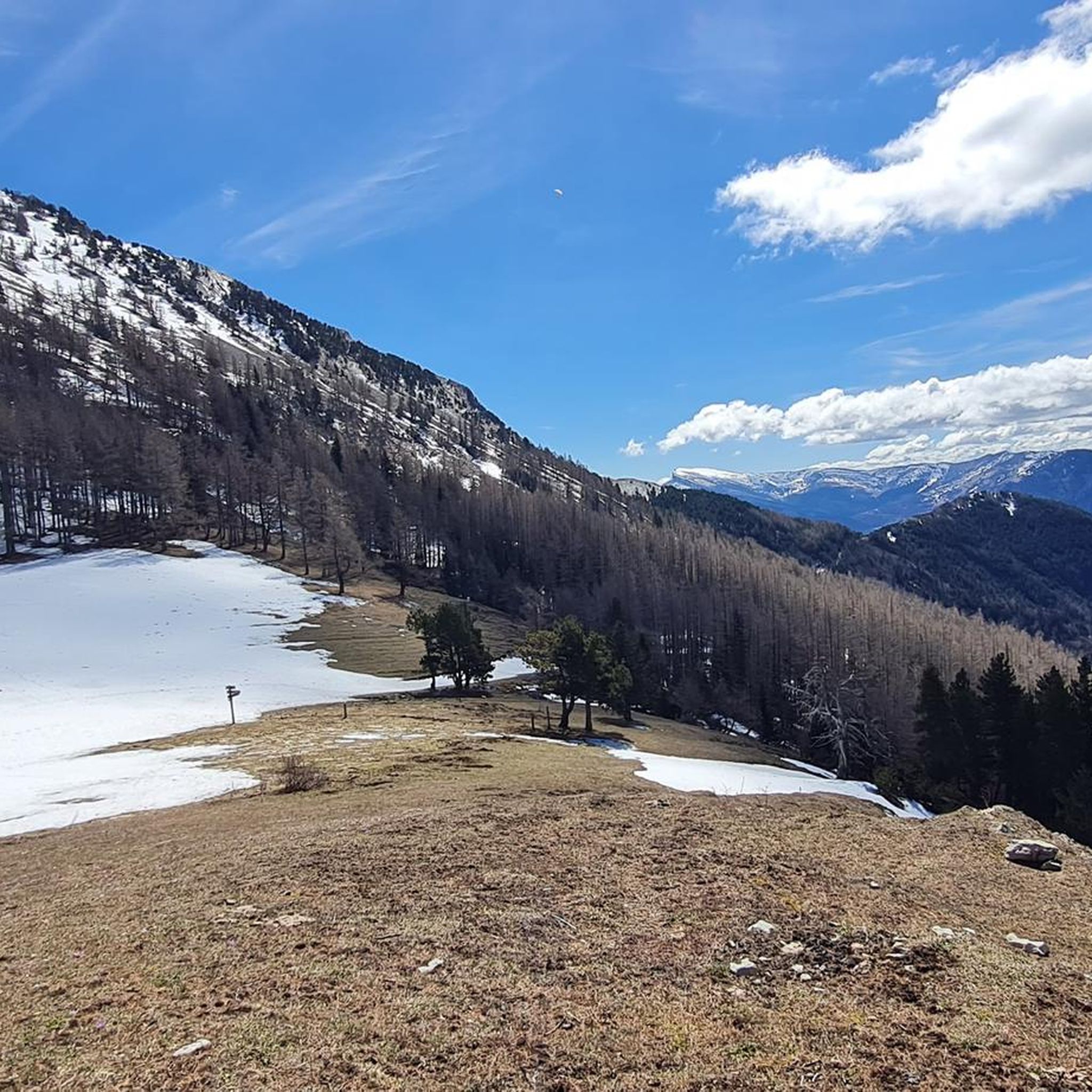
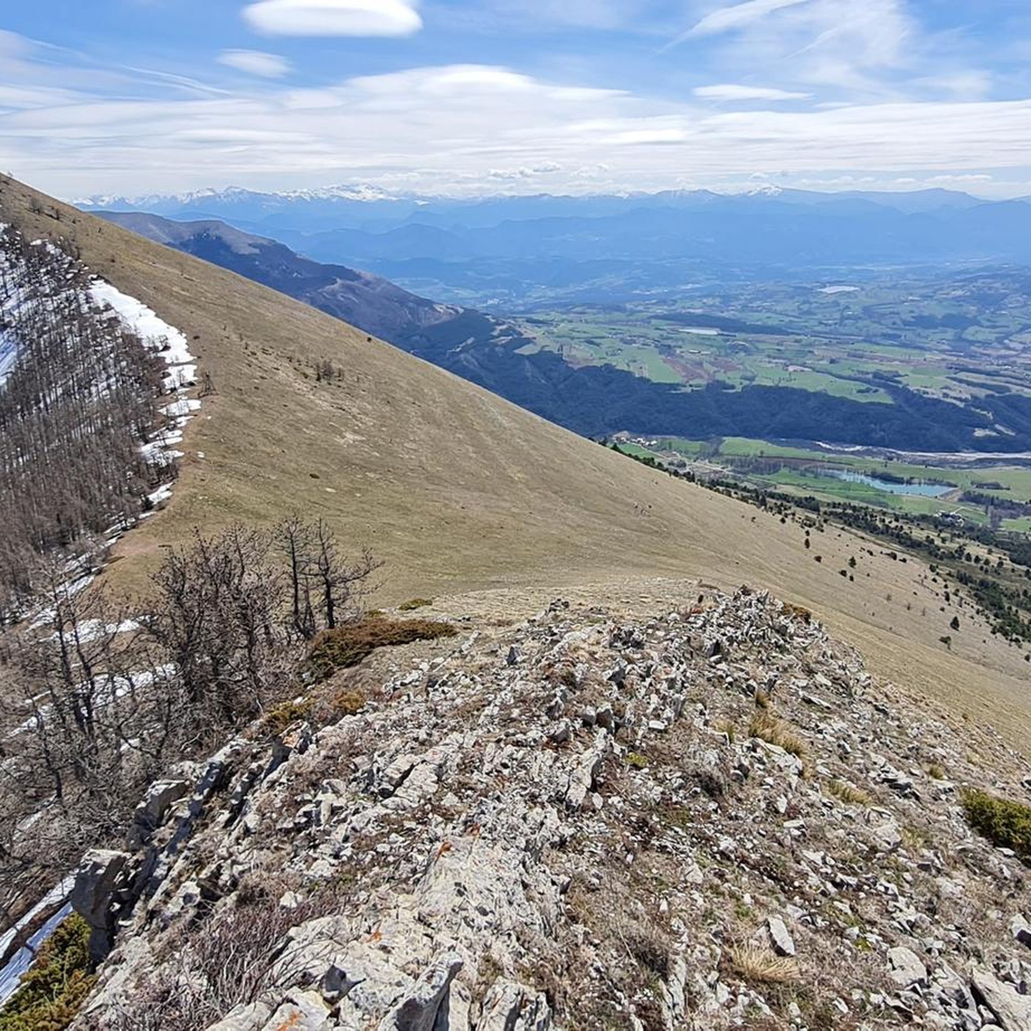
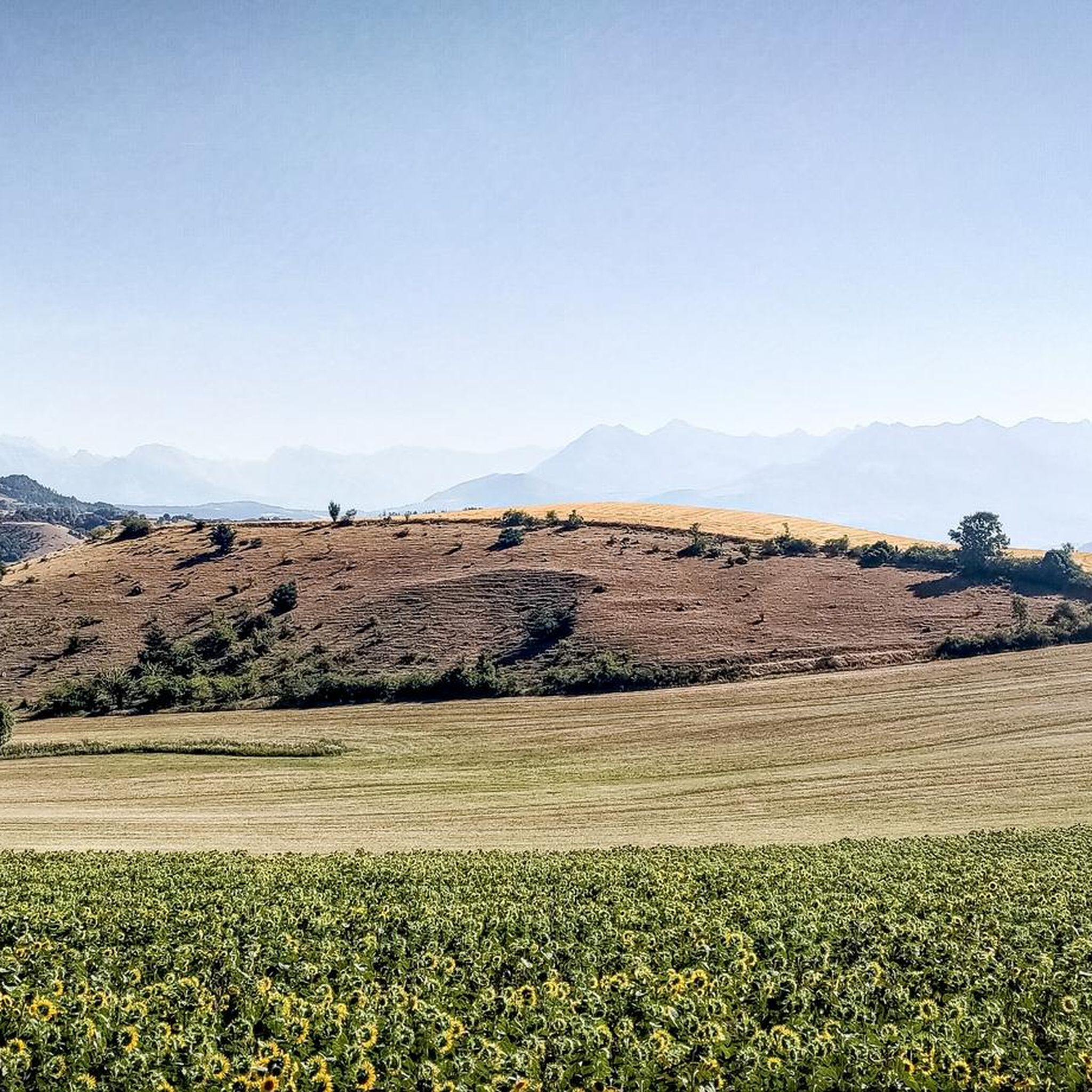
Hiking around La Roche-Des-Arnauds offers diverse landscapes within the Southern French Alps, characterized by mountainous terrain, lush forests, and river valleys. The region features trails that ascend to panoramic viewpoints and wind through larch forests and mountain meadows. Hikers can also explore paths along the bucolic banks of the Petit Buëch river and past dramatic rock formations like the cliffs of La Barre. This area provides a varied natural setting for outdoor activities.
Best hiking trails around La Roche-Des-Arnauds
- The…
Last updated: September 1, 2026
4.5
(13)
70
hikers
19.4km
06:55
780m
780m
Hard hike. Very good fitness required. Sure-footedness, sturdy shoes and alpine experience required.
4.5
(8)
53
hikers
8.20km
02:56
430m
430m
Moderate hike. Good fitness required. Mostly accessible paths. Sure-footedness required.

Sign up for free
3.1
(8)
38
hikers
3.96km
01:15
150m
150m
Easy hike. Great for any fitness level. Easily-accessible paths. Suitable for all skill levels.
4.9
(10)
110
hikers
12.1km
04:35
780m
780m
Moderate hike. Good fitness required. Easily-accessible paths. Suitable for all skill levels.
4.8
(4)
41
hikers
Moderate hike. Good fitness required. Easily-accessible paths. Suitable for all skill levels.
Get access to more routes and recommendations from other explorers.
Sign up for free
Already have an account?
Our route recommendations are based on thousands of hikes, rides, and runs completed by other people on komoot.
Start today with a free account
Your next adventure awaits.
Login or Signup

Tips from the Community


There is a comfortable bench here to take a break in the shade in hot weather
0
0

This path borders the Gap canal. The Gap canal collects water from the Drac in Haut-Champsaur and brings it to the Gapençais basin, where it is mainly used to supply the town of Gap with drinking water. The walk along the water reveals beautiful views of the surrounding landscapes.
0
0

Km 18 to km 22 too dangerous to cycle. Also a beautiful trail
0
0

Path leads through the rock with great views
0
0
abandoned riverside village with ruins, nice place for a break
0
0

The Pic de Charance is 1,825 meters above sea level. From the summit, marked with a cross, there are exceptional views of the town of Gap, the Durance valley and the peak of Bure.
1
0

Frequently Asked Questions
How many hiking trails are available around La Roche-des-Arnauds?
The region around La Roche-des-Arnauds offers a wide selection of routes, with over 370 hiking trails recorded on komoot. These range from easy strolls to challenging alpine experiences, catering to various fitness levels.
What kind of terrain can I expect on hikes in La Roche-des-Arnauds?
Hikes in La Roche-des-Arnauds feature diverse terrain within the Southern French Alps. You'll find mountainous paths, lush larch forests, open mountain meadows, and trails winding along the bucolic banks of the Petit Buëch river. Dramatic rock formations, such as the cliffs of La Barre, are also a notable feature.
What do other hikers say about the trails in La Roche-des-Arnauds?
The trails in La Roche-des-Arnauds are highly regarded by the komoot community, with an average rating of 4.5 stars from over 790 reviews. Hikers often praise the varied landscapes, from panoramic viewpoints to serene river paths, and the well-maintained network of routes.
When is the best time of year to go hiking in La Roche-des-Arnauds?
The best time for hiking in La Roche-des-Arnauds is generally from spring through autumn. During these seasons, the weather is most favorable, and the trails are clear of snow, allowing access to the full range of landscapes, from mountain peaks to river valleys.
Are there easy hiking trails suitable for families in La Roche-des-Arnauds?
Yes, La Roche-des-Arnauds offers over 110 easy hiking routes suitable for families. A good option is the Rif de l'Arc Waterfall loop from Sérigons, which is about 4 km long and takes around 1 hour 15 minutes, leading to a refreshing waterfall.
Are there challenging hikes for experienced trekkers in the region?
Yes, for experienced trekkers, there are over 50 difficult routes available. A notable challenging hike is the Chaudun Ruins loop from Rabou, a 19.6 km trail that requires good fitness and alpine experience, taking over 7 hours to complete.
Can I find hikes with waterfalls in La Roche-des-Arnauds?
Yes, the region features several waterfalls. The Rif de l'Arc Waterfall loop from Sérigons is a popular easy route that leads directly to a refreshing waterfall. The Pisse waterfall is also accessible along various trails.
Are there trails that offer panoramic viewpoints?
Absolutely. Many trails in La Roche-des-Arnauds lead to stunning panoramic viewpoints. For example, the Charance Peak – Viewpoint loop from La Freissinouse offers significant elevation gain and impressive vistas. The ruined tower of La Roche-des-Arnauds also provides expansive views of the village and surrounding countryside.
What natural features can I explore on hikes around La Roche-des-Arnauds?
Beyond mountains and forests, you can explore serene mountain lakes like Lac Peyssier, dramatic rock formations such as the cliffs of La Barre, and the tranquil banks of the Petit Buëch river. The region is also home to wildlife like marmots, chamois, ibex, and golden eagles.
Are there any notable mountain peaks or passes to explore near La Roche-des-Arnauds?
Yes, the area is rich in mountain peaks and passes. You can explore peaks like Gleize Peak, Ceuze pike, and the impressive Pic de Bure. Notable passes include Espréaux Pass and Col de Gleize (1691 m).
Are dogs allowed on the hiking trails in La Roche-des-Arnauds?
Many trails in the Hautes-Alpes region, including those around La Roche-des-Arnauds, are dog-friendly. However, it's always recommended to keep dogs on a leash, especially in areas with livestock or protected wildlife, and to check specific trail regulations before you go.
Are there circular hiking routes available?
Yes, many of the hiking routes in La Roche-des-Arnauds are circular, allowing you to start and end your hike at the same point. Examples include the Chaudun Ruins loop from Rabou and the Charance Peak – Viewpoint loop from La Freissinouse.
How can I get to the trailheads using public transport?
While La Roche-des-Arnauds is accessible, public transport options directly to all trailheads might be limited. It's advisable to check local bus schedules for connections from larger towns like Gap to the village, and then plan your hike from there. Many routes may require a short drive to the starting point.
Is parking available near the hiking trails?
Yes, parking is generally available near popular trailheads and within the village of La Roche-des-Arnauds. Specific parking information can often be found in the detailed descriptions of individual routes on komoot or local tourism websites.
Most popular routes around La Roche-Des-Arnauds
Most popular attractions around La Roche-Des-Arnauds

Get inspired with the komoot mobile app


Explore more
Browse the best Hikes in other regions.
