The best running trails around Lignières-Orgères
4.4
(14)
1,027
runners
110
runs
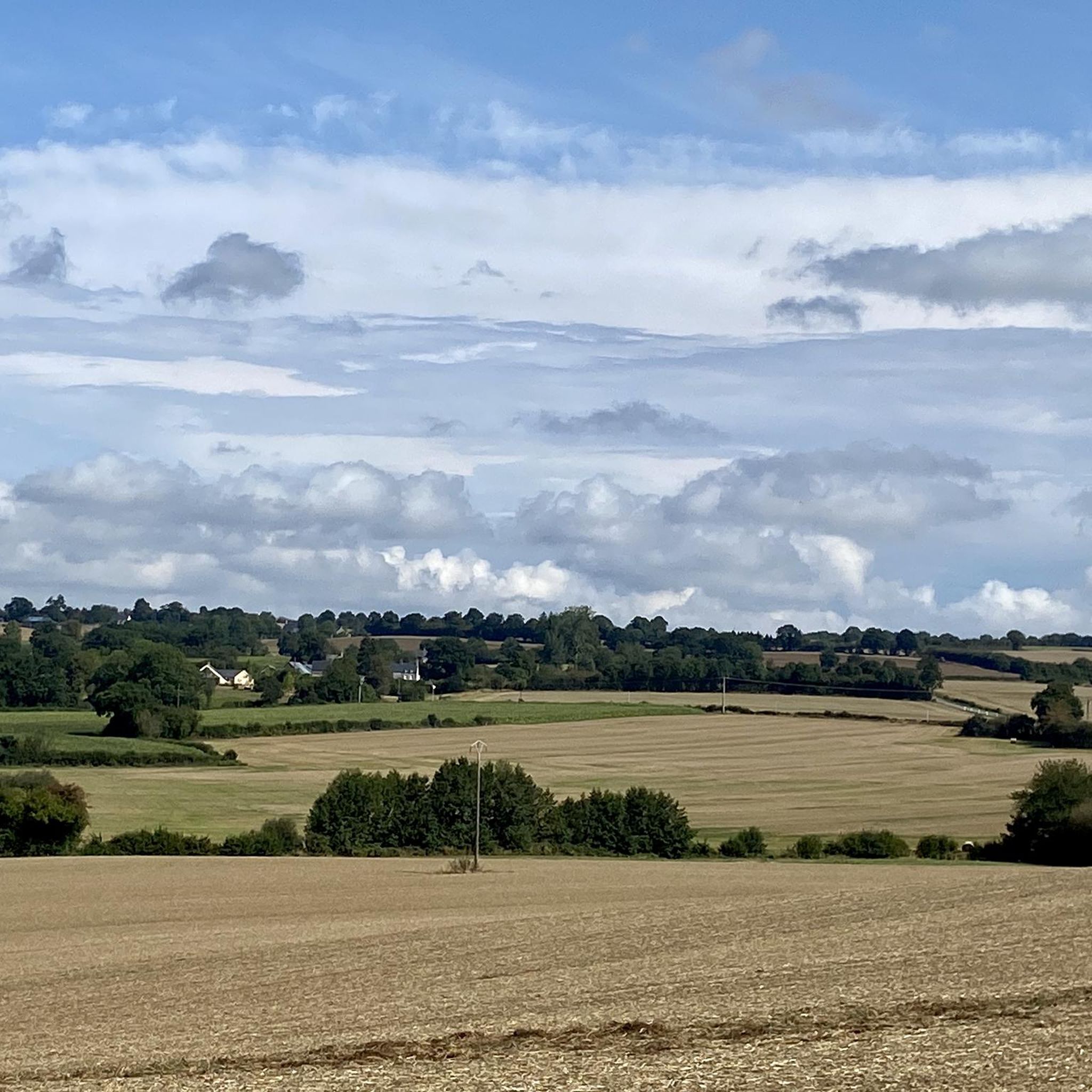
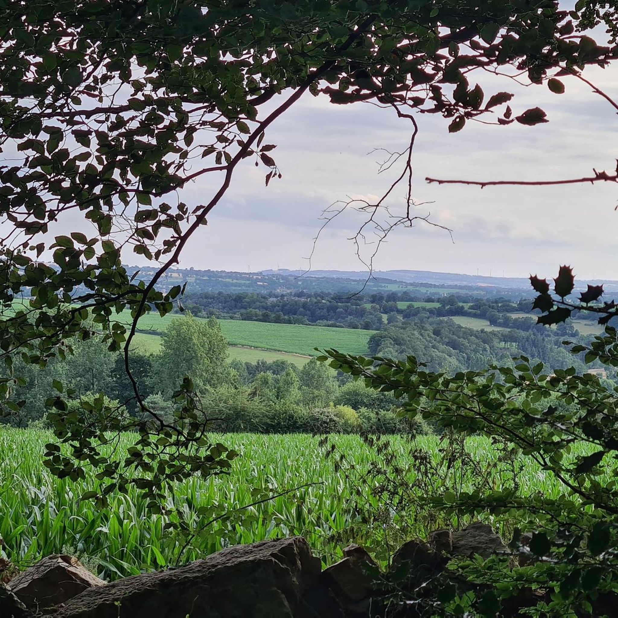
Jogging around Lignières-Orgères offers access to the diverse landscapes of the Normandy-Maine Regional Natural Park. The region features varied topography, including deciduous woodlands, moorlands, and river valleys. Notable natural features include the Mont des Avaloirs, the highest point in the Armorican Massif, and the unique granite formations of the Roches d'Orgères. Running routes often traverse forests such as the Forêt de Multonne and follow scenic river paths.
Best jogging routes around Lignières-Orgères
- The most popular jogging route is Forêt de…
Last updated: July 8, 2026
17
runners
8.62km
00:54
50m
50m
Moderate run. Good fitness required. Mostly paved surfaces. Suitable for all skill levels.
5.0
(4)
12
runners
7.15km
00:54
140m
130m
Moderate run. Good fitness required. Mostly paved surfaces. Suitable for all skill levels.

Sign up for free
4
runners
12.2km
01:18
130m
130m
Moderate run. Good fitness required. Mostly paved surfaces. Suitable for all skill levels.
4
runners
9.75km
01:02
150m
150m
Moderate run. Good fitness required. Mostly paved surfaces. Suitable for all skill levels.
4
runners
10.9km
01:09
150m
150m
Moderate run. Good fitness required. Mostly paved surfaces. Suitable for all skill levels.
Get access to more routes and recommendations from other explorers.
Sign up for free
Already have an account?
Our route recommendations are based on thousands of hikes, rides, and runs completed by other people on komoot.
Start today with a free account
Your next adventure awaits.
Login or Signup

Tips from the Community

An endless false flat. Remember to carry water because there's nothing to refuel.
0
0

Pré-en-Pail is a charming village in the Mayenne. Nestled in the heart of beautiful green countryside, it offers a peaceful and welcoming atmosphere. With its traditional stone houses and picturesque church, Pré-en-Pail exudes authenticity. Here you pedal between preserved nature and gentle tranquility.
0
0

Going down the main street of Carrouges in the direction of cars of the orne we see the first buildings and annex of the Chateau de Carrouges which is sublime.
0
0
On the occasion of the veloscenie, I finished my first day here. You should know that Carrouges is a town located at an altitude of 320 meters, on the northern slope of the signal d'Écouves, the highest peak in Normandy (417 meters). In other words, Carrouges, it must be earned.
1
0
Frequently Asked Questions
How many running trails are available in Lignières-Orgères?
There are over 100 running routes around Lignières-Orgères listed on komoot, offering a wide variety of options for different preferences and fitness levels.
What is the overall difficulty level of running routes in this area?
The majority of running routes in Lignières-Orgères are classified as moderate, with 82 moderate trails. There are also 17 difficult routes for more experienced runners and 1 easy route, ensuring options for various abilities.
What do other runners say about the trails around Lignières-Orgères?
The running trails in Lignières-Orgères are highly rated by the komoot community, with an average score of 4.4 stars from over 15 reviews. More than 1000 runners have explored the varied terrain, often praising the extensive forests and rolling hills.
Are there any circular running routes in Lignières-Orgères?
Yes, many of the running routes in Lignières-Orgères are circular. For example, the Running loop from Lignières-Orgères is a moderate 12 km circular path, and the Pré-en-Pail loop from Lalacelle offers a 10 km circular trail through varied rural landscapes.
What natural landmarks can I see while jogging in Lignières-Orgères?
While jogging, you can encounter significant natural landmarks within the Normandy-Maine Regional Natural Park. The Mont des Avaloirs viewpoint, the highest point in the Armorican Massif, offers panoramic views. You might also discover the intriguing Roches d'Orgères, a collection of gigantic granite blocks, or run through the scenic Forêt de Multonne.
Are there any historical sites or points of interest along the running routes?
Yes, the region combines natural beauty with historical charm. You can find the impressive Carrouges Castle nearby, a historical monument with parts dating back to the 14th century. The picturesque village of La Roche-Mabile, with its stone houses, also offers a scenic backdrop for a run.
Are the running trails in Lignières-Orgères suitable for families?
Many trails in Lignières-Orgères are suitable for families, especially those looking for moderate activity. While specific 'family-friendly' routes are not explicitly categorized, the diverse network includes paths through forests and rural landscapes that can be enjoyed by various age groups. Consider shorter, less elevated routes for younger family members.
Can I bring my dog on the running trails?
The Normandy-Maine Regional Natural Park generally welcomes dogs, but it's always best to keep them on a leash, especially in areas with wildlife or livestock, and to respect local regulations. Most trails are suitable for dogs, allowing them to enjoy the natural environment with you.
What is the best time of year for running in Lignières-Orgères?
Lignières-Orgères offers enjoyable running conditions throughout much of the year. Spring and autumn provide pleasant temperatures and beautiful scenery with changing foliage. Summer is also popular, though it's advisable to run in the mornings or evenings to avoid the midday heat. Winter runs can be refreshing, especially through the forests, but be prepared for colder, potentially wetter conditions.
Is there parking available near the running trails?
Yes, parking is generally available near trailheads, especially in and around villages like Lignières-Orgères, Lalacelle, and Saint-Calais-du-Désert, which serve as starting points for many routes. Specific parking information can often be found on individual route descriptions on komoot.
Can I reach the running routes by public transport?
While public transport options might be limited directly to every trailhead in this rural region, some routes, like the Running loop from Lignières-Orgères, start directly from the village center, which may have local bus services or be accessible by other means. It's recommended to check local transport schedules for specific starting points.
Are permits required for jogging on trails in Lignières-Orgères?
Generally, no specific permits are required for jogging on the public trails and paths within the Normandy-Maine Regional Natural Park around Lignières-Orgères. However, always be mindful of private land and respect any signage indicating restricted access or specific regulations.
Most popular routes around Lignières-Orgères
Most popular attractions around Lignières-Orgères

Get inspired with the komoot mobile app


Explore more
Browse the best Running Trails & Routes in other regions.
