The best walks and hikes around Lignières-Orgères
4.6
(179)
960
hikers
69
hikes
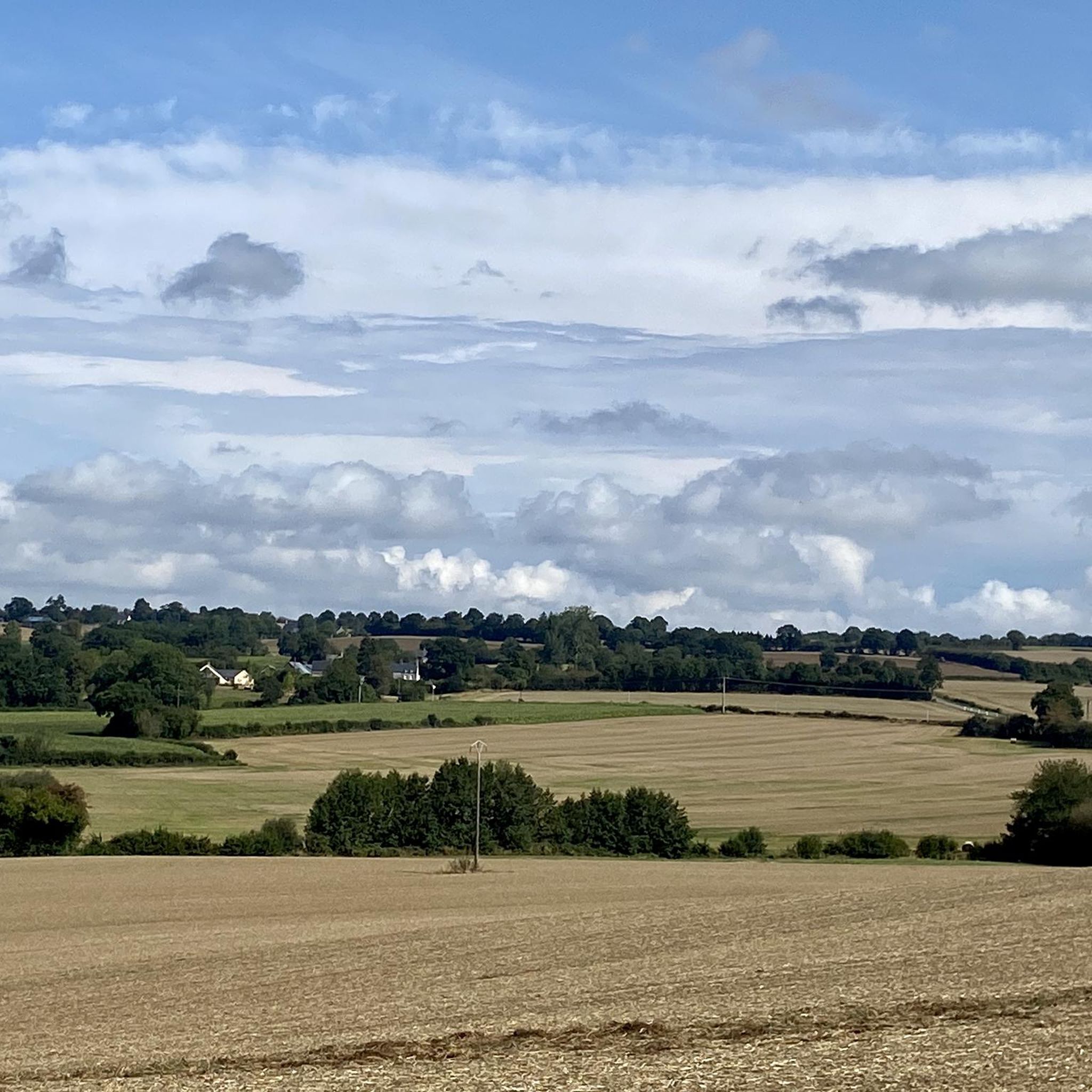
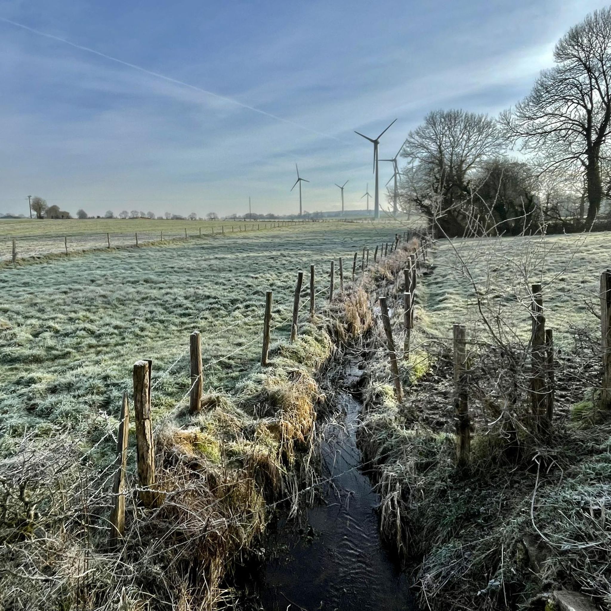
Hiking around Lignières-Orgères offers diverse landscapes within the Normandy-Maine Regional Natural Park. The region features varied terrain, including extensive forests like Multonne, hilly areas, and unique geological formations such as the granite blocks of Les Roches d'Orgères. Mont des Avaloirs, the highest point of the Armorican massif, provides panoramic views. This area is characterized by a mix of deciduous woodlands, meadows, and poor Armorican sandstone soil.
Best hiking trails around Lignières-Orgères
- The most popular hiking route is Gorges de Villiers…
Last updated: July 2, 2026
4.4
(8)
39
hikers
5.58km
01:29
60m
60m
Easy hike. Great for any fitness level. Easily-accessible paths. Suitable for all skill levels.
4.8
(8)
57
hikers
9.98km
02:47
190m
190m
Moderate hike. Good fitness required. Easily-accessible paths. Suitable for all skill levels.

Sign up for free
4.7
(3)
30
hikers
9.90km
02:46
190m
190m
Moderate hike. Good fitness required. Easily-accessible paths. Suitable for all skill levels.
4.5
(2)
4
hikers
12.5km
03:23
170m
170m
Moderate hike. Good fitness required. Easily-accessible paths. Suitable for all skill levels.
4.5
(4)
9
hikers
6.35km
01:44
90m
90m
Easy hike. Great for any fitness level. Easily-accessible paths. Suitable for all skill levels.
Get access to more routes and recommendations from other explorers.
Sign up for free
Already have an account?
Our route recommendations are based on thousands of hikes, rides, and runs completed by other people on komoot.
Start today with a free account
Your next adventure awaits.
Login or Signup


Tips from the Community

Riding up there by bike was quite strenuous, but the view from the top was worth the effort. It was well worth it.
0
0

easy route along a meandering river. Not for people with moderate mobility.
0
0

Magnificent hike in the peace, in the trees, along the water, with viewpoints to delight the eyes and the mind. A little sporty in places....Wonderful memories
0
0

Very beautiful castle. The outside area is very interesting and a nice walk. Unfortunately I didn't see the inside of the castle. The bicycle parking area is behind the archway on the inside on the right.
0
0

Beautiful 360 degree view
1
0

Located in Mayenne, Mont des Avaloirs is the highest point of the Armorican massif. It is part of the Normandy-Maine Regional Natural Park and enjoys the status of a Global Geopark. The belvedere, built in 1994 and covered with a magnificent colorful fresco, painted in 2019 by the Franco-British artist Seb Toussaint. It offers a 360° view of all the surrounding forests and peaks.
0
0

Here is a beautiful resting place near the chapel. Be sure to take a machete with you for the way there.
0
0

From its height of 416 meters, Mont des Avaloirs is the highest point of the Armorican Massif. At the top there is a belvedere which offers a 360 degree panorama.
2
0
Frequently Asked Questions
How many hiking trails are available around Lignières-Orgères?
There are over 60 hiking routes available around Lignières-Orgères, offering diverse experiences within the Normandy-Maine Regional Natural Park. These include a mix of easy, moderate, and a few more challenging paths.
What kind of terrain can I expect on hikes in Lignières-Orgères?
The terrain around Lignières-Orgères is quite varied. You'll find extensive forests, such as the Multonne forest, hilly areas like those near La Roche Mabile, and unique geological formations including the gigantic granite blocks of Les Roches d'Orgères. The landscape also features moorlands, meadows, and deciduous woodlands.
Are there any challenging hikes in the area?
While most routes are easy to moderate, there is at least one more challenging hike available for those seeking a greater test. The region's varied terrain, including hilly sections and forest paths, ensures a good workout for all skill levels.
Are there many circular hiking routes in Lignières-Orgères?
Yes, many of the hiking routes in Lignières-Orgères are circular, allowing you to start and end at the same point. Examples include the Avaloirs Viewpoint – Wolf's Stone loop from Lalacelle and the Carrouges – Carrouges Castle loop from Carrouges.
What are some notable natural features or viewpoints to see while hiking?
You can experience several remarkable natural features. The Mont des Avaloirs viewpoint, the highest point of the Armorican massif, offers panoramic 360° views. Another highlight is La Roche-Mabile, known for its hilly areas, and Les Roches d'Orgères, a natural curiosity with massive granite blocks and a beautiful panorama over the forests.
Are there any historical sites or castles I can visit near the hiking trails?
Absolutely. The region is rich in history. You can visit the historic Carrouges Castle, which has hosted figures like King Louis XI. Other nearby castles include Rânes Castle and Château de La Motte-Fouquet.
Are the hiking trails in Lignières-Orgères suitable for families with children?
Yes, many trails are suitable for families. There are 23 easy routes, such as the Gorges de Villiers Trail, which is 3.5 miles long and leads through scenic gorges, making it a good option for a family outing.
Can I bring my dog on the hiking trails?
Many trails in the Normandy-Maine Regional Natural Park are dog-friendly, but it's always recommended to keep your dog on a leash, especially in forested areas or near livestock. Please check local signage for specific restrictions on individual routes.
What do other hikers enjoy the most about hiking in Lignières-Orgères?
The area is highly rated by the komoot community, with an average score of 4.6 stars from over 160 reviews. Hikers often praise the diverse landscapes, the extensive forests, and the unique geological formations like Les Roches d'Orgères, as well as the well-maintained network of routes.
Is there public transport access to the hiking areas?
Specific public transport options directly to all trailheads around Lignières-Orgères may be limited. It is generally advisable to plan for car access or check local bus schedules for connections to the main villages in the region.
Where can I find parking for hiking trails?
Parking is typically available near trailheads in villages and at popular natural sites like the Mont des Avaloirs viewpoint or Les Roches d'Orgères. Look for designated parking areas or roadside parking where permitted.
Are there any easy hikes for beginners?
Yes, there are 23 easy routes available, perfect for beginners or those looking for a relaxed walk. An example is the CP5 - MAISON M&J BAKERY loop from Carrouges, which is just under 4 miles long and offers a gentle introduction to the region's beauty.
Most popular routes around Lignières-Orgères
Most popular attractions around Lignières-Orgères

Get inspired with the komoot mobile app


Explore more
Browse the best Hikes in other regions.
