The best MTB trails around Lignières-Orgères
4.4
(16)
153
riders
14
rides
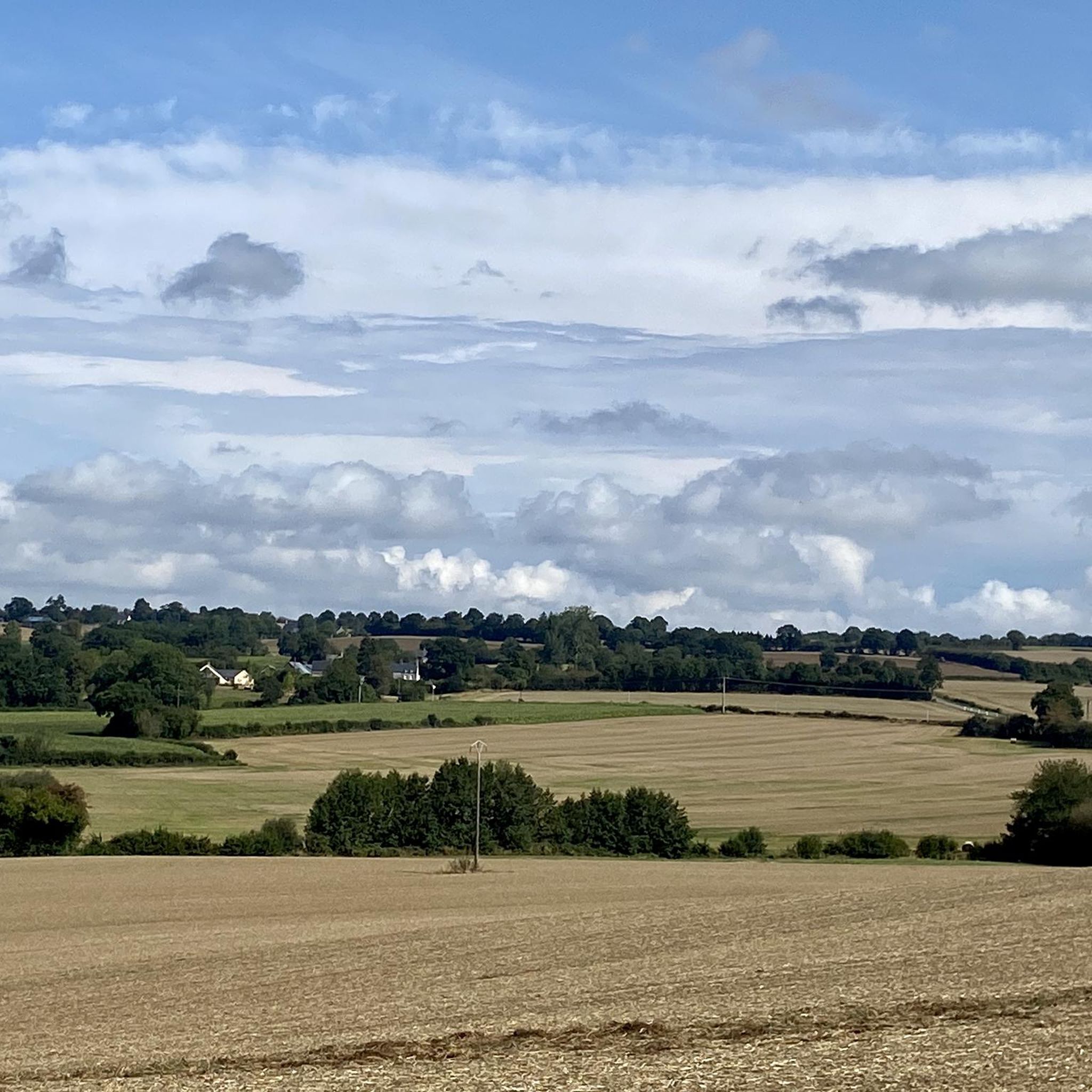
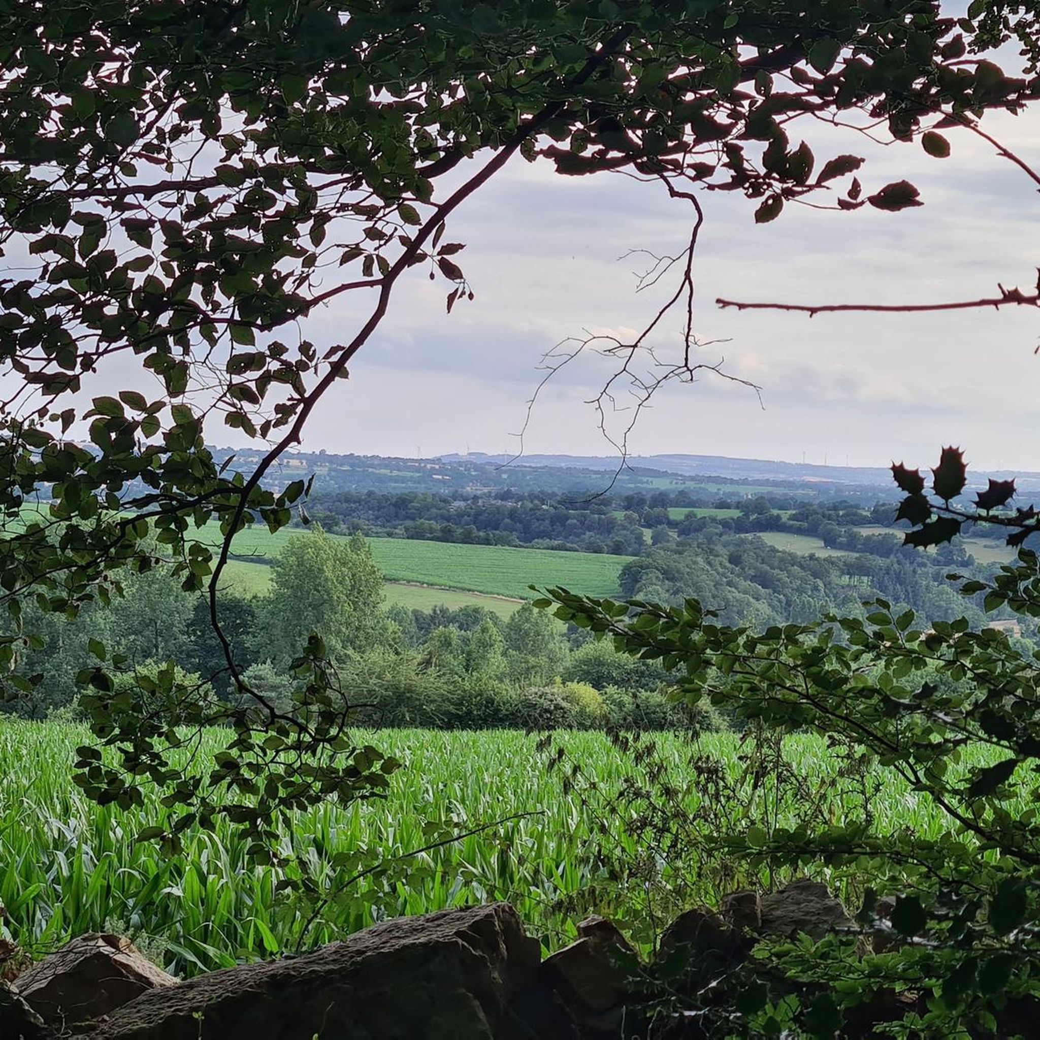
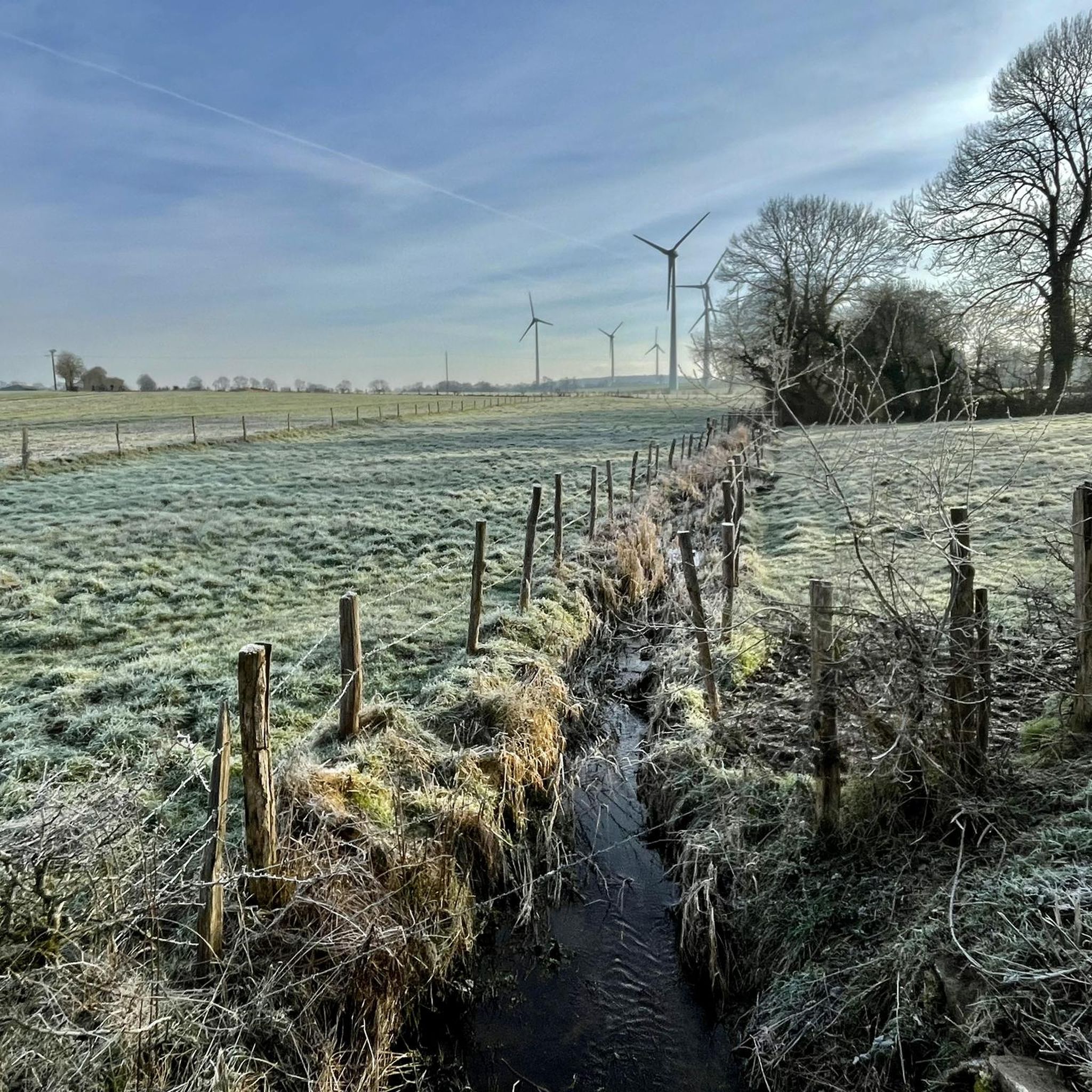
Mountain biking around Lignières-Orgères offers diverse landscapes within the Normandy-Maine Regional Natural Park. The region features a "haut-pays" characterized by crests, bars, and escarpments, providing varied terrain for cycling. Extensive forests, such as the Multonne forest, and meadows define the natural environment. This area provides a network of trails suitable for mountain biking, traversing both natural and historical points of interest.
Best mountain bike trails around Lignières-Orgères
- The most popular mountain bike trail is Chemin ruisseau. loop from Saint-Samson,…
Last updated: July 1, 2026
4.0
(1)
29
riders
Moderate mountain bike ride. Good fitness required. Suitable for all skill levels.
5.0
(2)
6
riders
Moderate mountain bike ride. Good fitness required. Suitable for all skill levels.

Sign up for free
5.0
(1)
12
riders
32.5km
02:06
220m
220m
Moderate mountain bike ride. Good fitness required. Suitable for all skill levels.
5.0
(1)
6
riders
27.1km
02:25
410m
410m
Moderate mountain bike ride. Good fitness required. Suitable for all skill levels.
4.0
(1)
3
riders
Moderate mountain bike ride. Good fitness required. Suitable for all skill levels.
Get access to more routes and recommendations from other explorers.
Sign up for free
Already have an account?
Our route recommendations are based on thousands of hikes, rides, and runs completed by other people on komoot.
Start today with a free account
Your next adventure awaits.
Login or Signup


Tips from the Community

Riding up there by bike was quite strenuous, but the view from the top was worth the effort. It was well worth it.
0
0

easy route along a meandering river. Not for people with moderate mobility.
0
0

Marsh Birdwatching
0
0

2 perforations visible on the 12th photo of the Sherman M4A2 "Valois"
0
0

Magnificent hike in the peace, in the trees, along the water, with viewpoints to delight the eyes and the mind. A little sporty in places....Wonderful memories
0
0

Beautiful 360 degree view
1
0

Located in Mayenne, Mont des Avaloirs is the highest point of the Armorican massif. It is part of the Normandy-Maine Regional Natural Park and enjoys the status of a Global Geopark. The belvedere, built in 1994 and covered with a magnificent colorful fresco, painted in 2019 by the Franco-British artist Seb Toussaint. It offers a 360° view of all the surrounding forests and peaks.
0
0

Magnificent place! The Lande Forêt pond is located in the heart of the Grais departmental forest. By bike, it is accessible via a secure route from the Briouze-Bagnoles greenway in Orne Normandy. An interpretive walking trail and wooden decks allow you to go around the pond. Picnic tables, bicycle boxes and a shelter are available at the entrance to the site.
0
0
Frequently Asked Questions
How many mountain bike trails are available around Lignières-Orgères?
There are 11 mountain bike trails available around Lignières-Orgères. These routes are highly rated by the komoot community, with an average score of 4.1 stars from nearly 20 reviews.
What is the general difficulty level of mountain bike trails in Lignières-Orgères?
The mountain bike trails in Lignières-Orgères primarily cater to easy and moderate ability levels. You'll find 2 easy routes and 9 moderate routes, offering a good range for various skill sets.
Are there any mountain bike trails suitable for beginners or families?
Yes, there are 2 easy mountain bike routes in the area. These trails are generally less demanding, making them suitable for beginners or families looking for a more relaxed ride. For example, the "OT Mayenne/Maine n°025 - Les Moulins" is an easy 9.9 km trail with 64% dirt paths, perfect for a gentle introduction to the region's landscapes.
Which mountain bike trails offer the best views in Lignières-Orgères?
For panoramic views, consider the Mont des Avaloirs viewpoint – Corniche of Pail loop from Réserve naturelle du mont des Avaloirs. This moderate 25.2 km path offers extensive views from the Mont des Avaloirs, the highest point of the Armorican massif, providing a breathtaking 360° panorama of the surrounding forests and peaks. Another route, View from Roc au Chien – Hippolyte Oak loop from La Pallu, also promises scenic vistas.
Are there any circular mountain bike routes in the Lignières-Orgères area?
Yes, many of the mountain bike routes around Lignières-Orgères are designed as loops. Examples include the popular Chemin ruisseau. loop from Saint-Samson, the scenic Mont des Avaloirs viewpoint – Corniche of Pail loop from Réserve naturelle du mont des Avaloirs, and the countryside ride of Saint-Ortaire Priory – Bagnoles-de-l'Orne loop from Beauvain.
What natural attractions can I explore while mountain biking in Lignières-Orgères?
The region is rich in natural beauty within the Normandy-Maine Regional Natural Park. You can visit the Mont des Avaloirs viewpoint for stunning panoramas. The trails often traverse extensive forests like the Multonne forest and feature the unique geological formations of Les Roches d'Orgères, gigantic granite blocks south of Orgères.
What historical or cultural points of interest are near the mountain bike trails?
Beyond natural sights, you can explore historical landmarks. Carrouges Castle, a significant historical monument, is nearby and showcases centuries of history. The Saint-Ortaire Priory – Bagnoles-de-l'Orne loop from Beauvain also leads through areas with cultural significance.
What do other mountain bikers enjoy most about mountain biking in Lignières-Orgères?
The area is highly rated by the komoot community, with an average score of 4.1 stars. Reviewers often praise the diverse landscapes, including crests, escarpments, and extensive forests, as well as the well-maintained network of trails that allow for immersion in the natural and historical heritage of Normandy.
Is there parking available near the mountain bike trails?
While specific parking locations for each trail are not detailed here, many routes, especially those starting from villages or natural reserves like the Réserve naturelle du mont des Avaloirs, typically have designated parking areas. It's advisable to check the starting point of your chosen route for specific parking information.
What is the best season for mountain biking in Lignières-Orgères?
The diverse terrain of Lignières-Orgères, with its forests and meadows, makes it enjoyable across multiple seasons. Spring and autumn generally offer pleasant temperatures and beautiful scenery, while summer provides longer daylight hours. Always check local weather conditions before heading out.
Are there any longer mountain bike routes for experienced riders?
Yes, for experienced riders looking for a longer challenge, the View from Roc au Chien – Hippolyte Oak loop from La Pallu is a moderate 52.7 km route. Another substantial option is the Chemin ruisseau. loop from Saint-Samson, which covers 43.4 km and takes approximately 3 hours 28 minutes to complete.
Most popular routes around Lignières-Orgères
Most popular attractions around Lignières-Orgères

Get inspired with the komoot mobile app


Explore more
Browse the best MTB trails in other regions.
