The best road cycling routes around Boiry-Becquerelle
4.4
(294)
3,927
riders
420
rides
Road cycling around Boiry-Becquerelle offers routes through the gently rolling terrain of the Pas-de-Calais department in France. The area is characterized by low elevation changes, with altitudes ranging from 66 to 98 meters, making it accessible for various fitness levels. Cyclists can expect pastoral landscapes and a network of mostly paved surfaces suitable for road bikes. This region provides a blend of rural scenery and proximity to historical sites.
Best road cycling routes around Boiry-Becquerelle
- The most popular road cycling…
Last updated: October 30, 2026
3.0
(9)
18
riders
48.9km
02:00
220m
220m
Moderate road ride. Some segments of this route may be unpaved and difficult to ride.
12
riders
66.4km
02:52
420m
420m
Moderate road ride. Good fitness required. Mostly well-paved surfaces and easy to ride.

8
riders
Moderate road ride. Good fitness required. Mostly well-paved surfaces and easy to ride.
6
riders
41.4km
02:19
210m
210m
Moderate road ride. Good fitness required. Mostly well-paved surfaces and easy to ride.
4
riders
26.7km
01:06
190m
190m
Easy road ride. Mostly well-paved surfaces and easy to ride.
Get access to more routes and recommendations from other explorers.
Already have an account?
Our route recommendations are based on thousands of hikes, rides, and runs completed by other people on komoot.
Start today with a free account
Your next adventure awaits.



Tips from the Community


Very rolling greenway, somewhat monotonous but still pleasant
1
0

Entrance to the Biache marshes, on the towpath side
0
1

Passage on the front line of the Australians and British of the First World War
1
0
passage on the scene of the battle of Arras at Ecoust st mein and bullecourt (where there is a museum), mentioned in the film "1917"
0
0

Nice view on the lake of Lécluse, between the villages of Lécluse, Tortequesne and Hamel.
1
0
Frequently Asked Questions
How many road cycling routes are available around Boiry-Becquerelle?
There are over 400 road cycling routes around Boiry-Becquerelle, offering a wide variety of options for different preferences and skill levels. The komoot community has explored these routes over 3000 times.
What is the terrain like for road cycling in the Boiry-Becquerelle area?
The terrain around Boiry-Becquerelle is characterized by gently rolling countryside with low elevation changes, typically ranging from 66 to 98 meters. This makes it an accessible and enjoyable area for road cyclists of varying fitness levels, with mostly paved surfaces suitable for road bikes.
What historical landmarks or points of interest can I see while cycling near Boiry-Becquerelle?
The region is rich in history. You can cycle past significant sites such as the Arras Citadel, a UNESCO World Heritage site, and the Arras Town Hall and Belfry. Other notable points include the Wall of the Executed at the Citadel of Arras and Victor Hugo Square.
Are there any scenic natural features to explore on a road bike?
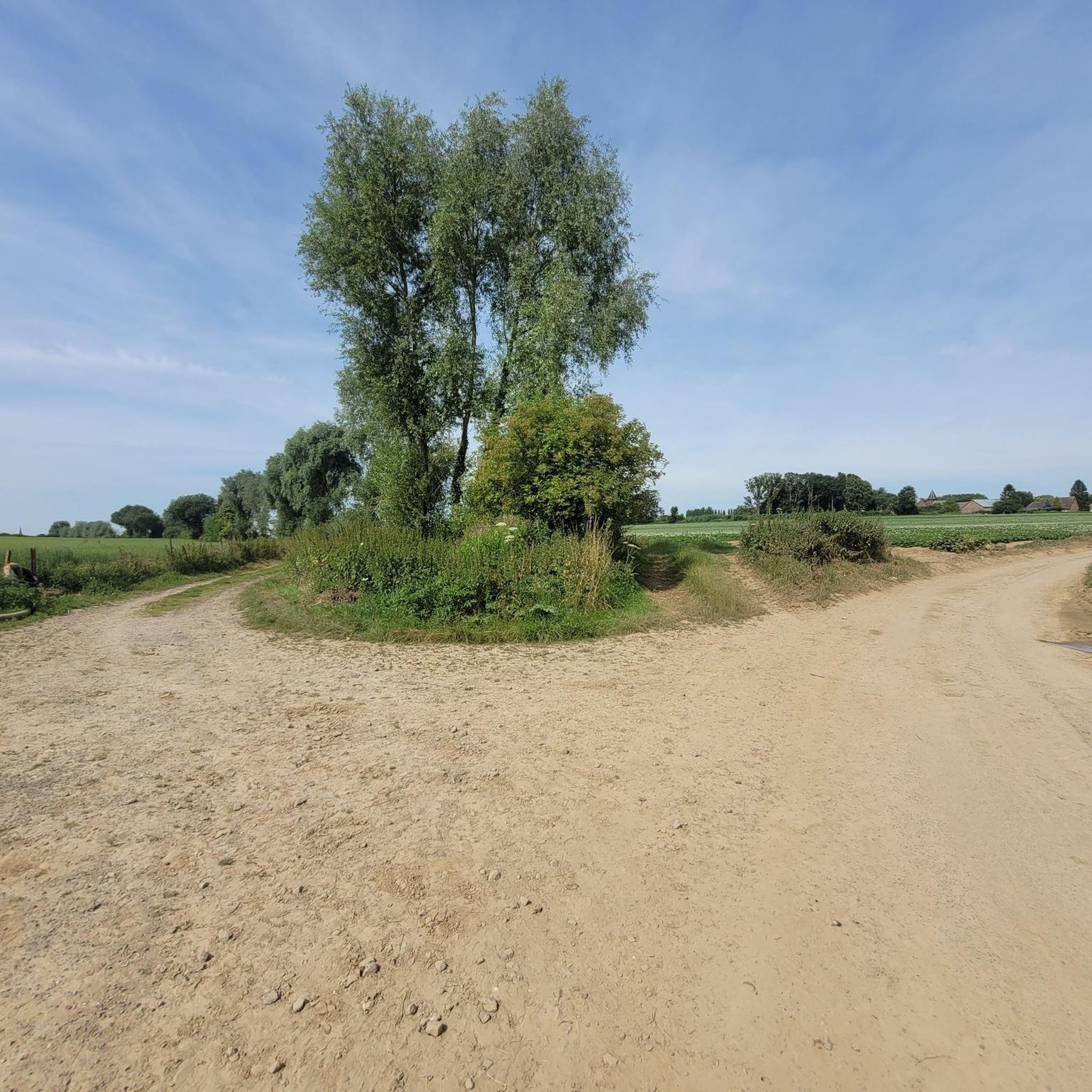
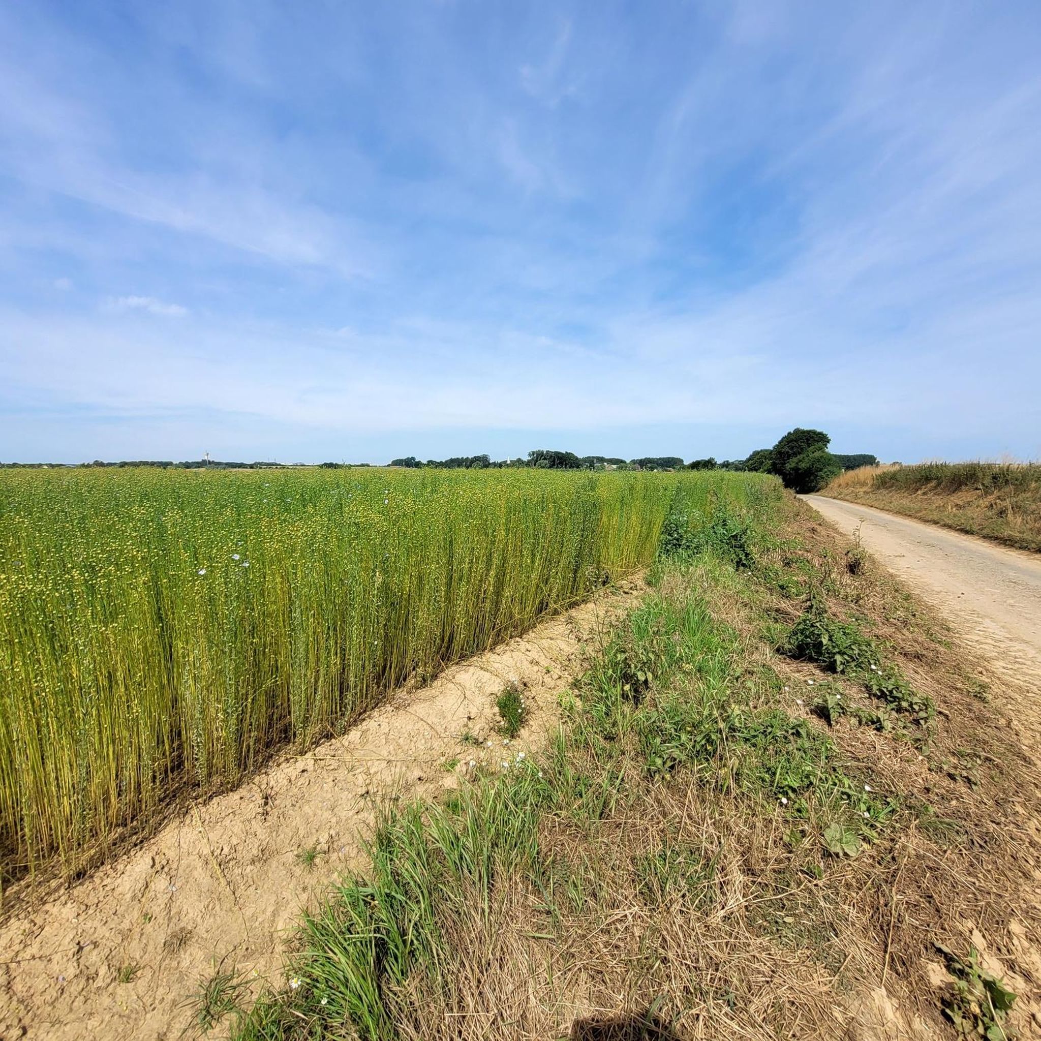
Yes, cyclists can enjoy pastoral landscapes and unforgettable panoramas throughout the region. The Scarpe riverbanks and the Scarpe Canal offer peaceful, scenic stretches, allowing you to cycle along waterways and through natural areas.
Are there routes suitable for beginners or less experienced road cyclists?
Absolutely. Over 100 of the routes around Boiry-Becquerelle are classified as easy, making them perfect for beginners or those looking for a relaxed ride. An example of an easy route is the Achicourt Mill loop from Croisilles.
Are there options for more challenging road cycling routes?
While the overall terrain is gentle, there are 17 routes classified as difficult for those seeking a greater challenge. Many moderate routes also offer longer distances and more elevation gain, such as the Fampoux - Canalized Scarpe – Marais de Feuchy loop from Croisilles, which covers over 54 km with significant elevation.
Are there circular road cycling routes available?
Yes, many of the road cycling routes in the Boiry-Becquerelle area are designed as loops, allowing you to start and finish at the same point. Examples include The Marshes - Lécluse Pond – Between the lakes loop from Croisilles and Roadbike loop from Boyelles.
Can I find family-friendly road cycling routes in the area?
Given the gentle topography and numerous easy routes, many paths are suitable for families. The low elevation changes make it less strenuous, allowing for enjoyable rides with varying fitness levels. Look for routes marked as 'easy' for the most family-friendly options.
What are the parking options for road cyclists around Boiry-Becquerelle?
While specific parking details for every route are not listed, many routes start from villages or towns like Croisilles or Boyelles, where public parking is generally available. It's advisable to check the starting point of your chosen route for local parking facilities.
Is public transport accessible for reaching road cycling routes?
Boiry-Becquerelle is a small commune, but its proximity to larger towns like Arras, which has train connections, suggests that public transport could be used to reach the general area. However, direct public transport links to specific route starting points might be limited, so planning ahead is recommended.
Are there places to stop for refreshments or accommodation along the routes?
The region around Boiry-Becquerelle includes various villages and towns. While specific cafes or accommodations on every route are not detailed, you can expect to find options for refreshments and places to stay in nearby larger centers like Arras, or smaller local establishments in the villages you pass through.
What do other road cyclists say about the routes around Boiry-Becquerelle?
The road cycling routes around Boiry-Becquerelle are highly rated by the komoot community, with an average score of 4.3 stars from over 240 reviews. Cyclists often praise the pleasant rolling countryside, the blend of rural scenery with historical sites, and the accessibility for different skill levels.
What is the best time of year for road cycling around Boiry-Becquerelle?
The gentle terrain makes road cycling enjoyable for much of the year. Spring and autumn generally offer pleasant temperatures and beautiful scenery. Summer can also be excellent, though it's always wise to check local weather forecasts and plan for hydration on longer rides.
Most popular routes around Boiry-Becquerelle
Most popular attractions around Boiry-Becquerelle

Get inspired with the komoot mobile app


Explore more
Browse the best Road cycling routes in other regions.
