The best walks and hikes around Boiry-Becquerelle
4.5
(304)
3,005
hikers
181
hikes
Hiking around Boiry-Becquerelle offers access to diverse landscapes characterized by accessible green spaces, scenic waterways, and culturally significant sites. The region is situated near Arras, providing a blend of natural settings and historical features. Key natural features include the Scarpe River and its canal system, the Crinchon River, and the extensive green areas around the Citadel of Arras. These elements contribute to a network of walking paths and natural attractions suitable for various outdoor activities.
Best hiking trails around Boiry-Becquerelle
…Last updated: June 29, 2026
5.0
(6)
9
hikers
8.51km
02:13
60m
60m
Moderate hike. Good fitness required. Easily-accessible paths. Suitable for all skill levels.
7
hikers
5.82km
01:33
60m
60m
Easy hike. Great for any fitness level. Easily-accessible paths. Suitable for all skill levels.

Sign up for free
5.0
(2)
8
hikers
7.98km
02:03
40m
40m
Moderate hike. Good fitness required. Easily-accessible paths. Suitable for all skill levels.
4
hikers
16.6km
04:18
100m
100m
Moderate hike. Good fitness required. Easily-accessible paths. Suitable for all skill levels.
4
hikers
11.6km
03:00
70m
60m
Moderate hike. Good fitness required. Easily-accessible paths. Suitable for all skill levels.
Get access to more routes and recommendations from other explorers.
Sign up for free
Already have an account?
Our route recommendations are based on thousands of hikes, rides, and runs completed by other people on komoot.
Start today with a free account
Your next adventure awaits.
Login or Signup



Tips from the Community

Today the chapel is primarily a pilgrim chapel and resting place with a guest book.
7
0
Chapel built in 1934. The chapel is located outside the village on a hiking trail. It is a small square building. On the facade is the entrance door. On each side are two Corinthian-style pilasters. Above the door is the name of the chapel and above it is a triangular molding. Then we have a cornice. On each side of the wall, a bay in a pointed arch. The roof is a bulbous roof with four sides. The chevet is a regular apse, Inside is a niche where you can see a statue of the Virgin. Just below the Virgin is a small altar. On each side of the walls there are two small shelves.
7
0
Frequently Asked Questions
How many hiking trails are available around Boiry-Becquerelle?
There are over 180 hiking routes in the Boiry-Becquerelle area. These include a wide variety of options, with 85 easy trails, 91 moderate routes, and 6 more challenging hikes, catering to different fitness levels and preferences.
What kind of terrain can I expect on hikes near Boiry-Becquerelle?
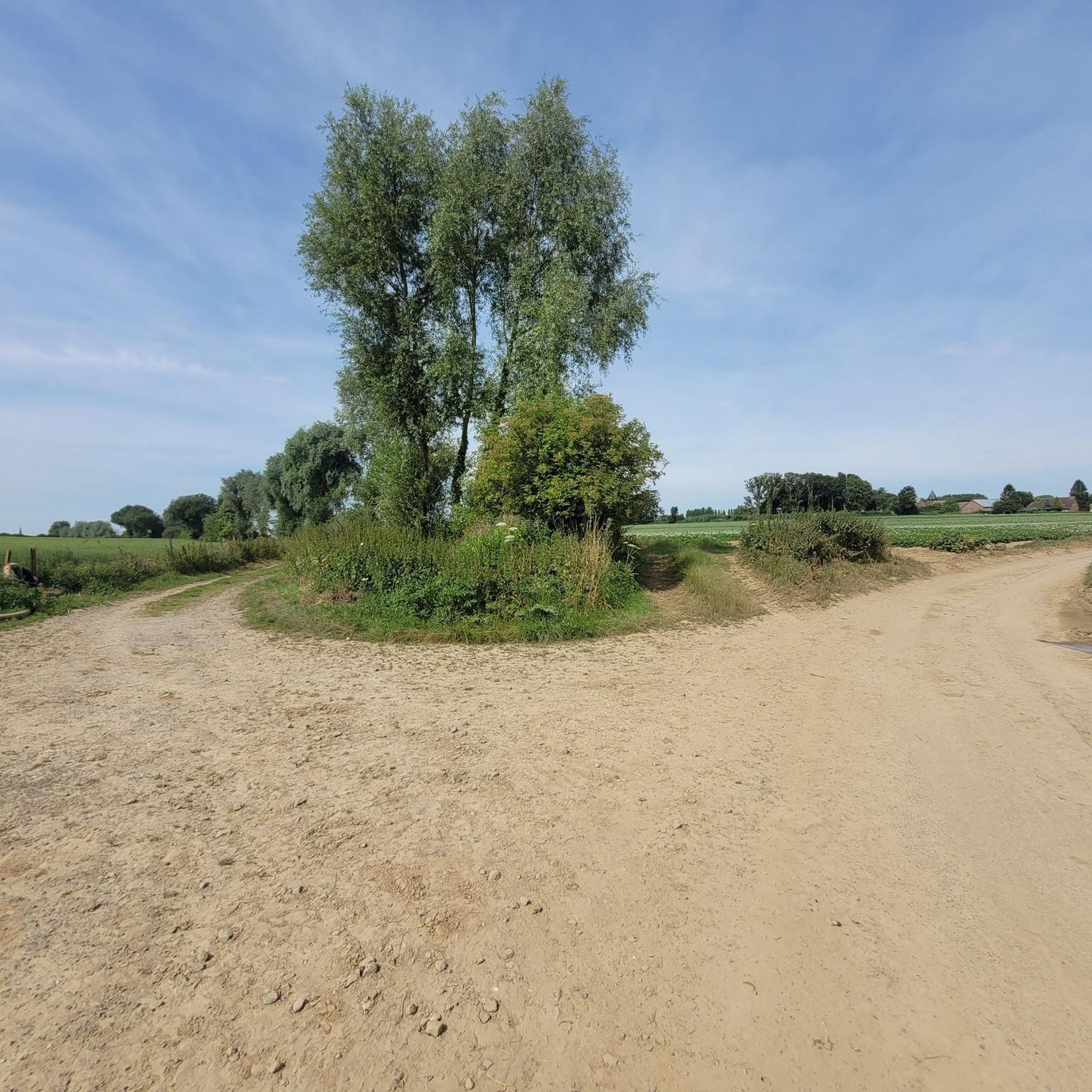
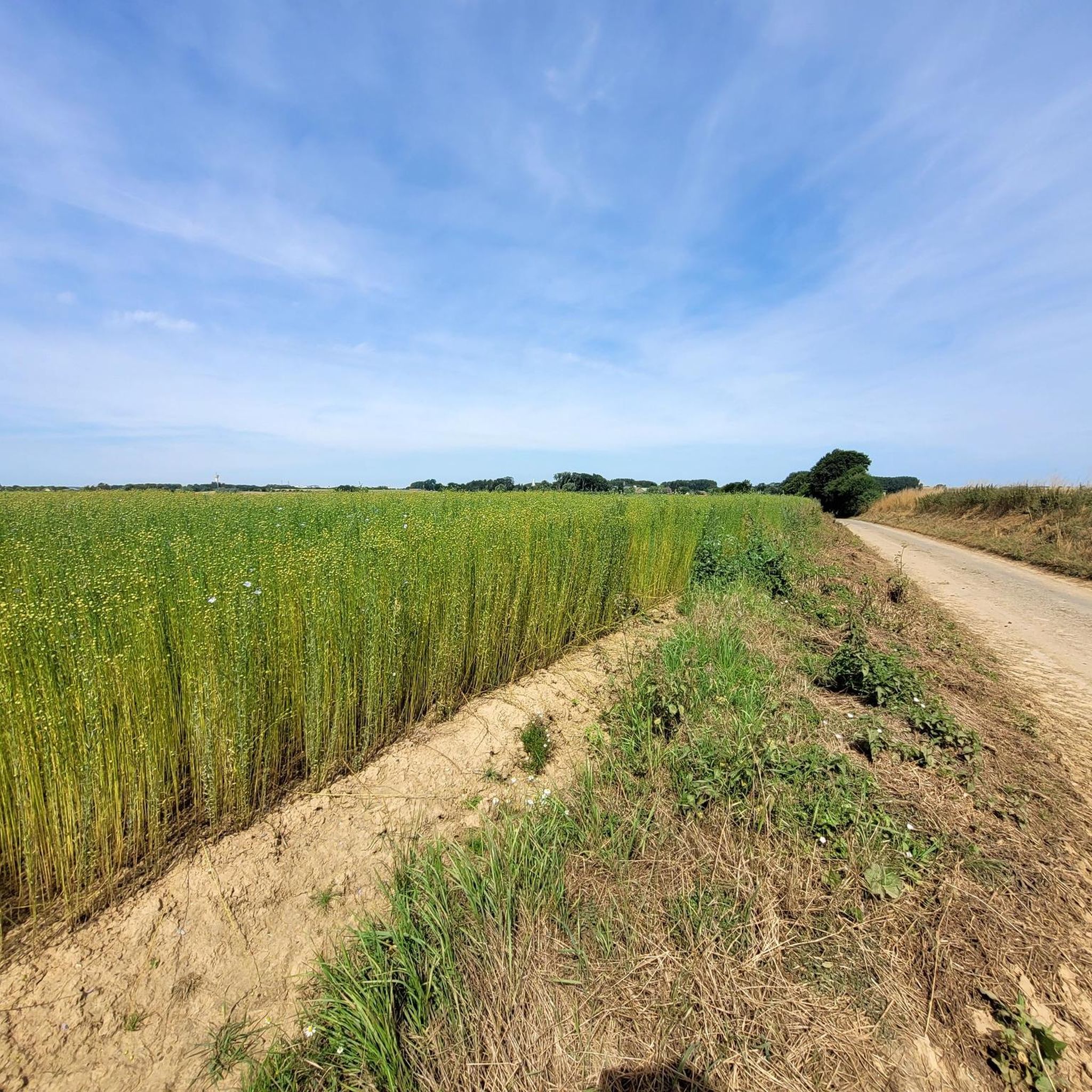
The terrain around Boiry-Becquerelle is characterized by accessible green spaces, scenic waterways, and paths around historical sites. You'll find routes along the Scarpe and Crinchon riverbanks, through woodlands, and across rural landscapes, often with gentle elevation changes.
Are there any circular walking routes in the Boiry-Becquerelle area?
Yes, many routes in the area are circular, offering convenient starting and ending points. An example is the Mare du Badoulet loop from Croisilles, a moderate 8.5 km trail, or the easier Château de Saint-Léger loop from Croisilles, which is 5.8 km long.
What natural features can I explore while hiking in Boiry-Becquerelle?
The region is rich in natural features, including the Scarpe River and its canal system, the Crinchon River, and extensive green areas. The 'Bords de la Scarpe' (Scarpe riverbanks) are particularly peaceful and green, offering pleasant walks. The Scarpe Canal Valley is also a protected Ramsar site, highlighting its ecological importance.
Are there any historical landmarks or attractions to see along the trails?
Absolutely. The area is close to Arras, offering access to significant historical sites. You can explore the Arras Citadel, a UNESCO World Heritage site with extensive walking paths. Other notable attractions include the Arras Town Hall and Belfry, and the Wall of the Executed at the Citadel of Arras.
What do other hikers enjoy most about hiking in Boiry-Becquerelle?
The hiking experience in Boiry-Becquerelle is highly rated by the komoot community, with an average score of 4.6 stars from over 260 reviews. Hikers often praise the diverse landscapes, the blend of natural settings with historical features, and the well-maintained paths along rivers and through green spaces.
Are there family-friendly hiking options in Boiry-Becquerelle?
Yes, the region offers many easy trails suitable for families. For instance, the Château de Saint-Léger loop from Croisilles is an easy 5.8 km path that passes through green areas and offers views of the Château, making it a good choice for a family outing.
Can I bring my dog on the hiking trails around Boiry-Becquerelle?
Many of the natural paths and towpaths along the Scarpe and Crinchon rivers are suitable for walks with dogs, provided they are kept under control. It's always recommended to check local signage for specific restrictions, especially in protected natural areas or near historical sites like the Citadel of Arras.
Is public transport available to access hiking trails from Boiry-Becquerelle?
While Boiry-Becquerelle itself is a smaller commune, the proximity to Arras means that public transport options might be available to reach trailheads in the wider area. For specific routes, it's best to check local bus schedules or regional transport services that connect to nearby towns like Croisilles or Saint-Léger, where many trails begin.
Where can I find parking for hiking trails near Boiry-Becquerelle?
Parking is generally available in the villages and towns where many routes start, such as Croisilles, Saint-Léger, or Boisleux-Saint-Marc. For trails closer to Arras, parking facilities are often provided near major attractions like the Citadel. Always look for designated parking areas to ensure convenience and respect for local residents.
What is the best time of year to go hiking in Boiry-Becquerelle?
The region is enjoyable for hiking throughout much of the year. Spring and autumn offer pleasant temperatures and beautiful scenery with blooming flowers or changing foliage. Summer is also suitable, especially for walks along the shaded riverbanks. Winter can be an option for crisp walks, though some paths might be muddy.
Are there any long-distance hiking options or multi-day routes?
While many routes are designed for day trips, the extensive network of paths, particularly along the Scarpe Canal Towpath and the 'Au fil du Crinchon' trail (which spans 17 km), allows for longer excursions. You can combine shorter routes or explore sections of these longer greenways for extended walks, though dedicated multi-day routes with accommodation points might require more planning.
Most popular routes around Boiry-Becquerelle
Most popular attractions around Boiry-Becquerelle

Get inspired with the komoot mobile app


Explore more
Browse the best Hikes in other regions.
