The best cycling routes around Étoile-Saint-Cyrice
4.7
(89)
1,171
riders
61
rides
Touring cycling around Étoile-Saint-Cyrice, nestled in the Hautes-Alpes, features a diverse mid-mountain landscape at an altitude of 900 meters. The region offers varied topography with wild valleys, cultivated areas, and the extensive Forêt Domaniale de Saint-Cyrice, providing shaded routes and pine scents. Cyclists can experience panoramic views of forests, meadows, and lavender fields, with specific vantage points overlooking the Buëch Valley, Baronnies Provençales, Dévoluy, and Écrins mountains. The area also includes the dramatic Gorges de la Méouge, accessible for cycling.
…Last updated: June 29, 2026
4.5
(4)
64
riders
90.8km
05:59
1,200m
1,200m
Hard bike ride. Very good fitness required. Mostly paved surfaces. Suitable for all skill levels.
4.9
(7)
45
riders
23.6km
01:36
380m
380m
Moderate bike ride. Good fitness required. Mostly paved surfaces. Suitable for all skill levels.

Sign up for free
45
riders
102km
07:09
2,000m
2,000m
Hard bike ride. Very good fitness required. Mostly paved surfaces. Suitable for all skill levels.
5.0
(1)
31
riders
35.9km
02:28
640m
640m
Hard bike ride. Very good fitness required. Mostly paved surfaces. Suitable for all skill levels.
5.0
(5)
20
riders
23.5km
01:51
500m
500m
Hard bike ride. Very good fitness required. Mostly paved surfaces. Suitable for all skill levels.
Get access to more routes and recommendations from other explorers.
Sign up for free
Already have an account?
Our route recommendations are based on thousands of hikes, rides, and runs completed by other people on komoot.
Start today with a free account
Your next adventure awaits.
Login or Signup
Tips from the Community

For cyclists: * West side (Montauban-sur-l’Ouvèze / La Combe): 11-12.5 km with an average gradient of around 5%, maximum about 9%. Steady climb, never extreme. * East side (Laborel): 8.5 km at 5.6% on average, with peaks up to 7.7%. This is the shorter and smoother side.
9
0
Saint-Auban is a small and characteristic village in the Provence-Alpes-Côte d'Azur region, located at an altitude of about 1,100 meters, at the foot of the spectacular Tracastel rock face.
5
0
For cyclists it's a climb: * Length: approx. 7 km * Elevation gain: approx. 320 m * Average gradient: 4.6% * Maximum gradient: approx. 5%
5
0
The Col de Perty (1,302 m) is located in the Baronnies Provençales massif, on the border between the departments of Drôme and Hautes-Alpes, in the southeast of France. It connects the Ouvèze valley with that of Orpierre and is one of the most popular passes for cyclists in the area.
9
0
The Col de Soubeyrand (987–994 m, depending on the map source) is located in the Drôme department, in the Auvergne-Rhône-Alpes region, within the Baronnies provençales massif. It connects the Eygues valley with the Ennuye valley, between the villages of Rémuzat and Sainte-Jalle.
7
0
The Col de Peyruergue (794 m) is a pass located in the Drôme department, within the Parc naturel régional des Baronnies provençales. It connects the Ennuye valley with that of the Ouvèze, near Saint-Sauveur-Gouvernet.
6
0
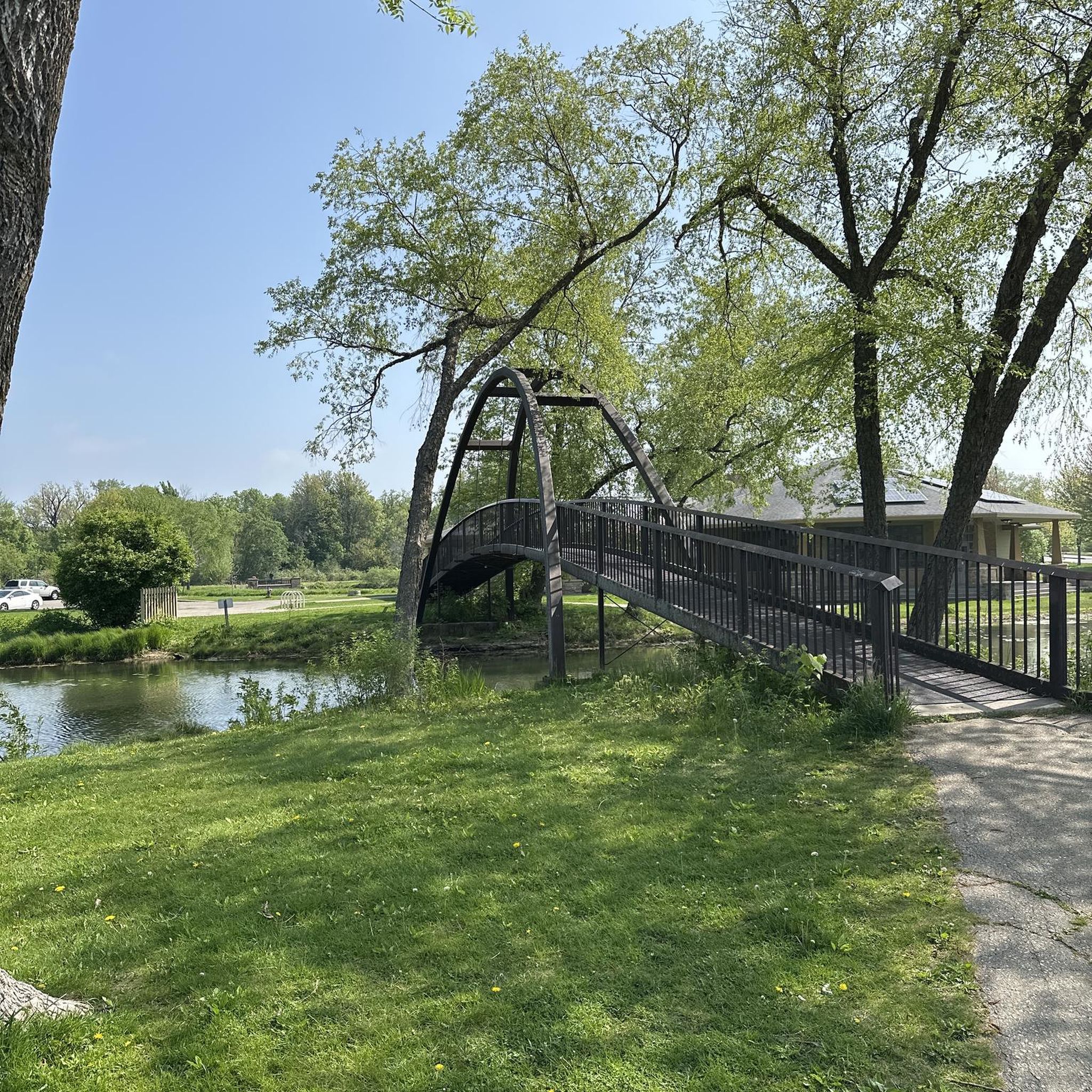
Building maintained in excellent condition.
7
0
Verclause is a small commune in the Drôme, in the Auvergne-Rhône-Alpes region, in the southeast of France. It is located in the Eygues river valley, at the foot of the Prealps, in a quiet area much appreciated by cyclists and motorcyclists for its numerous scenic roads and mountain passes. It is close to the border with the Hautes-Alpes department, not far from locations such as Orpierre and Séderon.
6
0
Frequently Asked Questions
How many touring cycling routes are available around Étoile-Saint-Cyrice?
There are over 60 touring cycling routes in the Étoile-Saint-Cyrice area. These routes offer a diverse range of experiences, from easier rides through valleys to challenging ascents in the mid-mountains.
What kind of terrain can I expect on touring cycling routes in Étoile-Saint-Cyrice?
The terrain around Étoile-Saint-Cyrice is characterized by a diverse mid-mountain landscape at an altitude of 900 meters. You'll encounter wild valleys, cultivated areas, and extensive pine forests like the Forêt Domaniale de Saint-Cyrice. Routes often feature both challenging ascents and scenic descents, providing varied topography.
Are there any easy touring cycling routes suitable for beginners or families?
Yes, while many routes are challenging, there are 3 easy touring cycling routes available. These are generally found in the valleys, offering a gentler introduction to the region's beauty. For example, you might find routes that explore the cultivated mid-mountains without significant climbs.
What are some notable natural landmarks or viewpoints along the cycling routes?
Cyclists can enjoy numerous scenic viewpoints offering panoramas of forests, meadows, and lavender fields. Specific vantage points provide 360° views of the Buëch Valley, the Baronnies Provençales, the Dévoluy, and the Écrins mountains. The dramatic Gorges de la Méouge is a significant natural feature, accessible for cycling, and the La Tussie forest offers shaded paths.
What is the best time of year for touring cycling in Étoile-Saint-Cyrice?
The Southern French Alps, where Étoile-Saint-Cyrice is located, generally offer pleasant cycling conditions from spring through autumn. Spring brings blooming landscapes, while summer provides warm weather for exploring. Autumn offers cooler temperatures and beautiful fall foliage. It's always advisable to check local weather forecasts before your ride, especially for mountain passes.
Are there any circular touring cycling routes in the area?
Yes, many of the touring cycling routes around Étoile-Saint-Cyrice are designed as loops. For instance, the challenging Orpierre village centre – Montjay loop from Sainte-Colombe covers 64.9 km, offering a comprehensive tour of the local landscape without retracing your path.
What historical or cultural sites can I discover while cycling?
Along the routes, you can discover historical sites such as the Romanesque chapel of Saint-Cyrice, a 12th-century church nestled in the forest, and the old village of Saint-Cyrice itself. There are also former mills, like the one in Saint-Cyrice, that offer a glimpse into the region's rich heritage.
How do other touring cyclists rate the routes in Étoile-Saint-Cyrice?
The touring cycling routes in Étoile-Saint-Cyrice are highly rated by the komoot community, with an average score of 4.7 stars from over 99 reviews. More than 1380 touring cyclists have used komoot to explore the varied terrain, often praising the diverse landscapes and panoramic views.
Are there routes that include mountain passes for experienced cyclists?
Absolutely. Étoile-Saint-Cyrice serves as an excellent base for cyclists looking to conquer some of the legendary passes of the Southern French Alps. While not directly on the highest passes, routes like the Perty Pass – Orpierre loop from Orpierre (36.3 km) incorporate significant climbs. The region provides access to iconic passes such as Perty Pass, Saint-Jean Pass, and Col de Pierre Vesce.
Where can I find parking for cycling routes in Étoile-Saint-Cyrice?
While specific parking areas for each route are not detailed here, Étoile-Saint-Cyrice is a village with local amenities. You can typically find parking in or near the village centers that serve as starting points for many routes, such as Orpierre or Sainte-Colombe. It's always a good idea to check local signage upon arrival.
Are there any particularly challenging touring cycling routes in the area?
Yes, the region is well-suited for experienced cyclists seeking a challenge, with 47 routes rated as difficult. A prime example is the Orpierre village centre – Church in Les Begues loop from Orpierre, a 30.9 km difficult path with significant elevation gain, passing through authentic village settings and offering views of the surrounding mid-mountains.
Can I access segments of larger touring routes from Étoile-Saint-Cyrice?
Yes, Étoile-Saint-Cyrice is well-integrated into the regional cycling network. You can access segments of larger touring routes such as "The P'tites Routes du Soleil" and paths that connect to historical itineraries like the "Route of the Princes of Orange," allowing for extended cycling adventures.
Most popular routes around Étoile-Saint-Cyrice
Most popular attractions around Étoile-Saint-Cyrice

Get inspired with the komoot mobile app


Explore more
Browse the best Cycling routes in other regions.
