The best MTB trails around Étoile-Saint-Cyrice
4.4
(123)
768
riders
54
rides
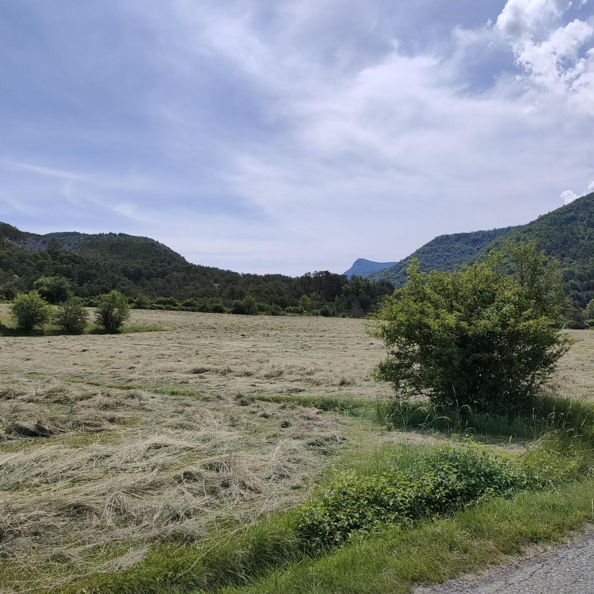
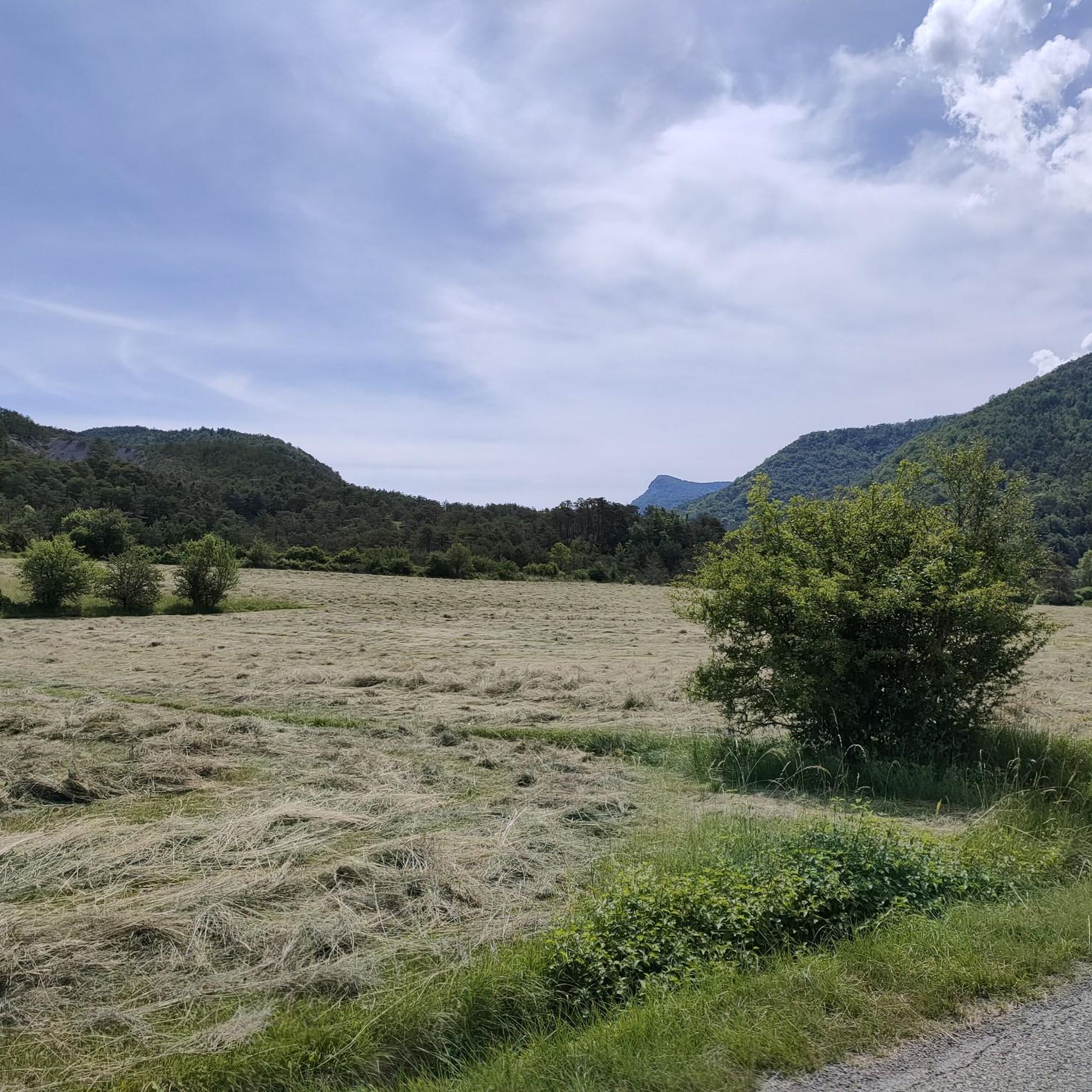
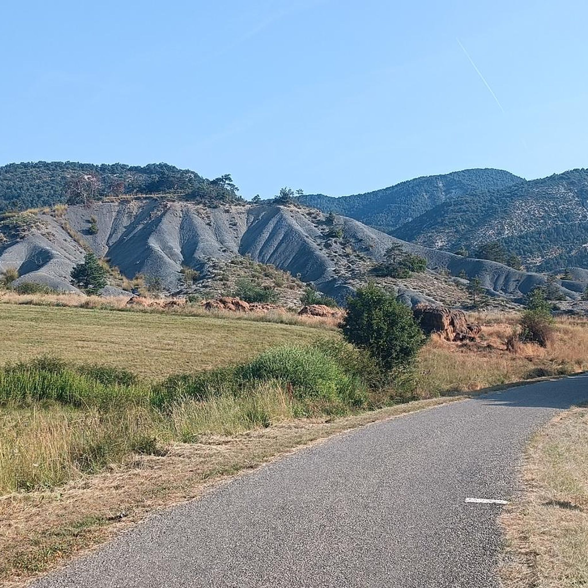
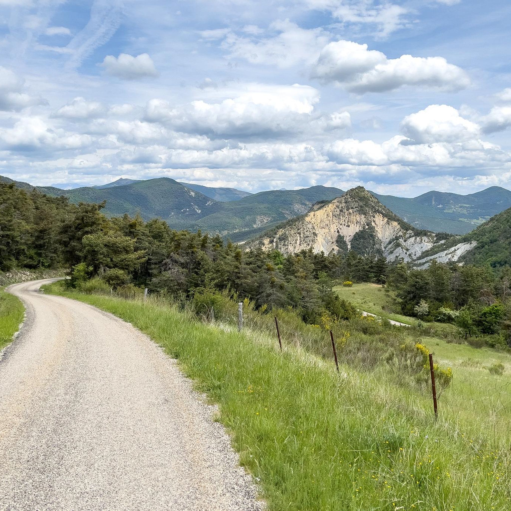
Mountain biking around Étoile-Saint-Cyrice features a diverse landscape, offering a range of terrain for various skill levels. The region is characterized by its mountainous environment, with routes often traversing through valleys and ascending hillsides. Many mountain bike trails in Étoile-Saint-Cyrice navigate through forested areas and open country, providing varied riding experiences. The network includes options from moderate to advanced mountain biking difficulty.
Best mountain bike trails around Étoile-Saint-Cyrice
- The most popular mountain bike trail is Boucle d'Orpierre, a 25.8…
Last updated: July 8, 2026
4.0
(2)
10
riders
41.5km
04:02
1,200m
1,200m
Hard mountain bike ride. Very good fitness required. Advanced riding skills necessary. Some portions of the route may require you to push your bike.
4.9
(11)
71
riders
23.9km
02:18
610m
600m
Moderate mountain bike ride. Good fitness required. Advanced riding skills necessary.

Sign up for free
4.4
(9)
38
riders
23.2km
02:04
620m
620m
Moderate mountain bike ride. Good fitness required. Advanced riding skills necessary.
4.3
(7)
32
riders
20.4km
02:10
640m
630m
Hard mountain bike ride. Good fitness required. Advanced riding skills necessary. Some portions of the route may require you to push your bike.
4.7
(6)
20
riders
22.6km
01:56
530m
530m
Moderate mountain bike ride. Good fitness required. Suitable for all skill levels.
Get access to more routes and recommendations from other explorers.
Sign up for free
Already have an account?
Our route recommendations are based on thousands of hikes, rides, and runs completed by other people on komoot.
Start today with a free account
Your next adventure awaits.
Login or Signup
Tips from the Community

The structure is very grippy and the landscape unique!
0
0

Orpierre is a small medieval village located in the Hautes-Alpes department in the Provence-Alpes-Côte d’Azur region of southeastern France. It has a population of between 300 and 330 inhabitants and stands in the Céans valley, surrounded by limestone cliffs and mountains that give it a unique landscape setting.
17
0
Orpierre is a small medieval village located in the Hautes-Alpes, in the Provence-Alpes-Côte d'Azur region, in southeastern France.
14
0

the drinking water fountain in the village of Orpierre
3
0

Orpierre is a tiny, pretty village at an altitude of 700 m with around 300 inhabitants in the middle of the cliffs. It has everything you need. A good starting point for hiking, cycling and climbing.
4
0

Relaxed single trail. Slightly uphill
0
0

A very special place, not just for climbers. Pure easy living
1
0
Frequently Asked Questions
How many mountain bike trails are available in Étoile-Saint-Cyrice?
There are over 50 mountain bike trails around Étoile-Saint-Cyrice, offering a diverse range of options for different skill levels. The komoot community has explored these routes over 700 times.
What is the general difficulty level of mountain bike trails in Étoile-Saint-Cyrice?
The trails in Étoile-Saint-Cyrice range from easy to difficult. You'll find 3 easy routes, 21 moderate routes, and 29 difficult routes, ensuring options for beginners to advanced riders.
Are there any beginner-friendly mountain bike routes in Étoile-Saint-Cyrice?
Yes, Étoile-Saint-Cyrice offers a few beginner-friendly mountain bike routes. While the majority are moderate to difficult, there are 3 easy trails suitable for those new to mountain biking or looking for a relaxed ride.
What kind of terrain can I expect on mountain bike trails in Étoile-Saint-Cyrice?
The region is characterized by its mountainous environment, with trails often traversing through valleys and ascending hillsides. You can expect a mix of forested areas, open country, and varied terrain, including singletrack and forest paths.
Are there any circular mountain bike routes in Étoile-Saint-Cyrice?
Yes, many routes in Étoile-Saint-Cyrice are circular. For example, the moderate Orpierre – Easy Beech Forest Singletrack loop from Sainte-Colombe and the Orpierre loop from Sainte-Colombe are popular circular options.
What can I see along the mountain bike trails in Étoile-Saint-Cyrice?
The trails often pass by significant natural landmarks. You can explore the stunning Gorges de la Méouge, or enjoy views from peaks like Chamouse Mountain and the View from the Summit of Rocher de Saint-Michel.
Are there any advanced mountain biking options in Étoile-Saint-Cyrice?
Absolutely. Étoile-Saint-Cyrice is well-suited for advanced mountain bikers, with 29 difficult routes. A challenging option is the Boucle d'Orpierre, a 41.5 km trail with significant elevation changes.
What do other mountain bikers enjoy most about the trails in Étoile-Saint-Cyrice?
The mountain bike trails in Étoile-Saint-Cyrice are highly rated by the komoot community, with an average score of 4.4 stars from over 100 reviews. Riders often praise the diverse landscape, challenging ascents, and varied riding experiences through forested hills and open valleys.
Are there any specific viewpoints or scenic spots accessible by mountain bike?
Yes, the region offers several scenic viewpoints. For instance, the View from the Summit of Rocher de Saint-Michel provides panoramic vistas, and many trails traverse ridge lines offering expansive views of the surrounding mountains and valleys.
What is the best time of year for mountain biking in Étoile-Saint-Cyrice?
While specific conditions vary, the mountainous environment suggests spring and autumn are often ideal, offering pleasant temperatures and vibrant scenery. Summer can also be good, especially at higher elevations, but be mindful of heat in lower valleys.
Are there any routes that start directly from Orpierre village centre?
Yes, you can find routes that start directly from Orpierre village centre. The Orpierre village centre – Orpierre loop from Orpierre is a moderate 17.6 km trail that begins and ends in the village.
What are some longer, moderate mountain bike routes in the area?
For a longer, moderate ride, consider the Laborel – Orpierre loop from Orpierre, which covers about 23.4 km. Another excellent option is the Orpierre – Easy Beech Forest Singletrack loop from Sainte-Colombe, at 23.9 km.
Most popular routes around Étoile-Saint-Cyrice
Most popular attractions around Étoile-Saint-Cyrice

Get inspired with the komoot mobile app


Explore more
Browse the best MTB trails in other regions.
