The best walks and hikes around Étoile-Saint-Cyrice
4.5
(307)
1,775
hikers
66
hikes
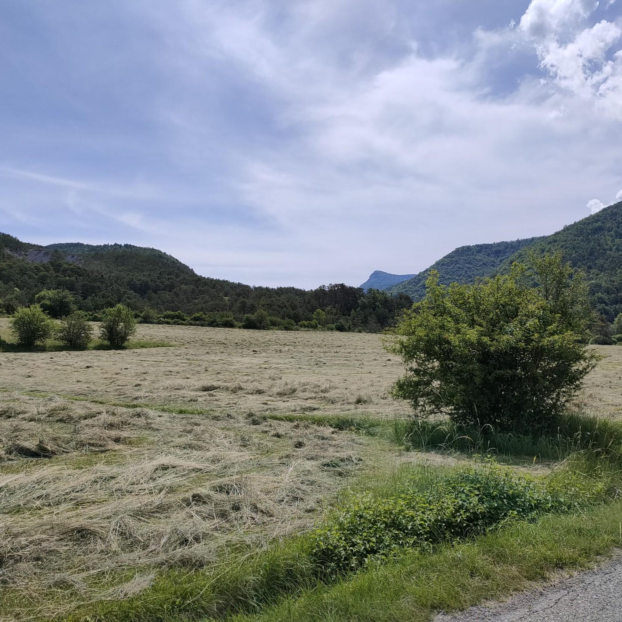
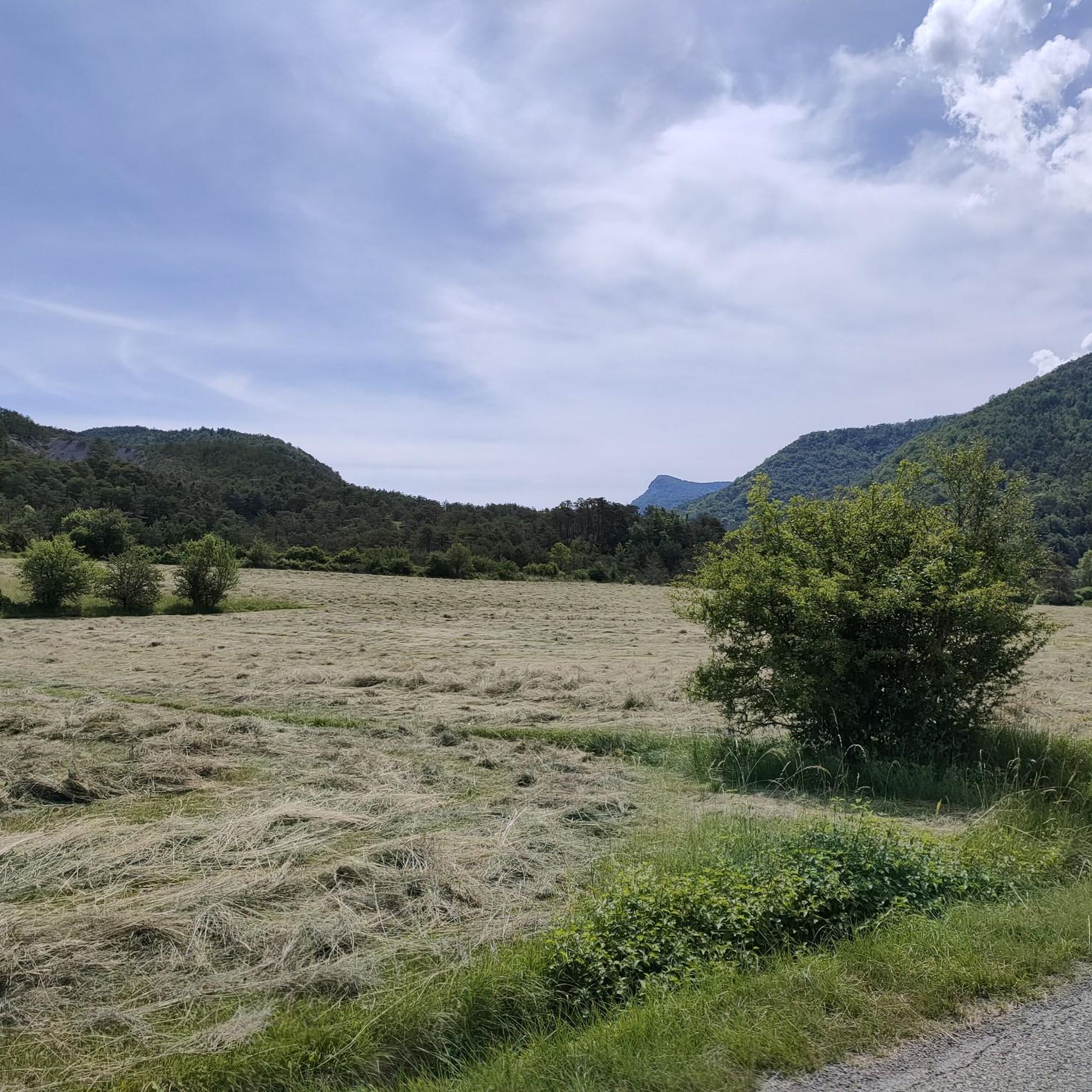
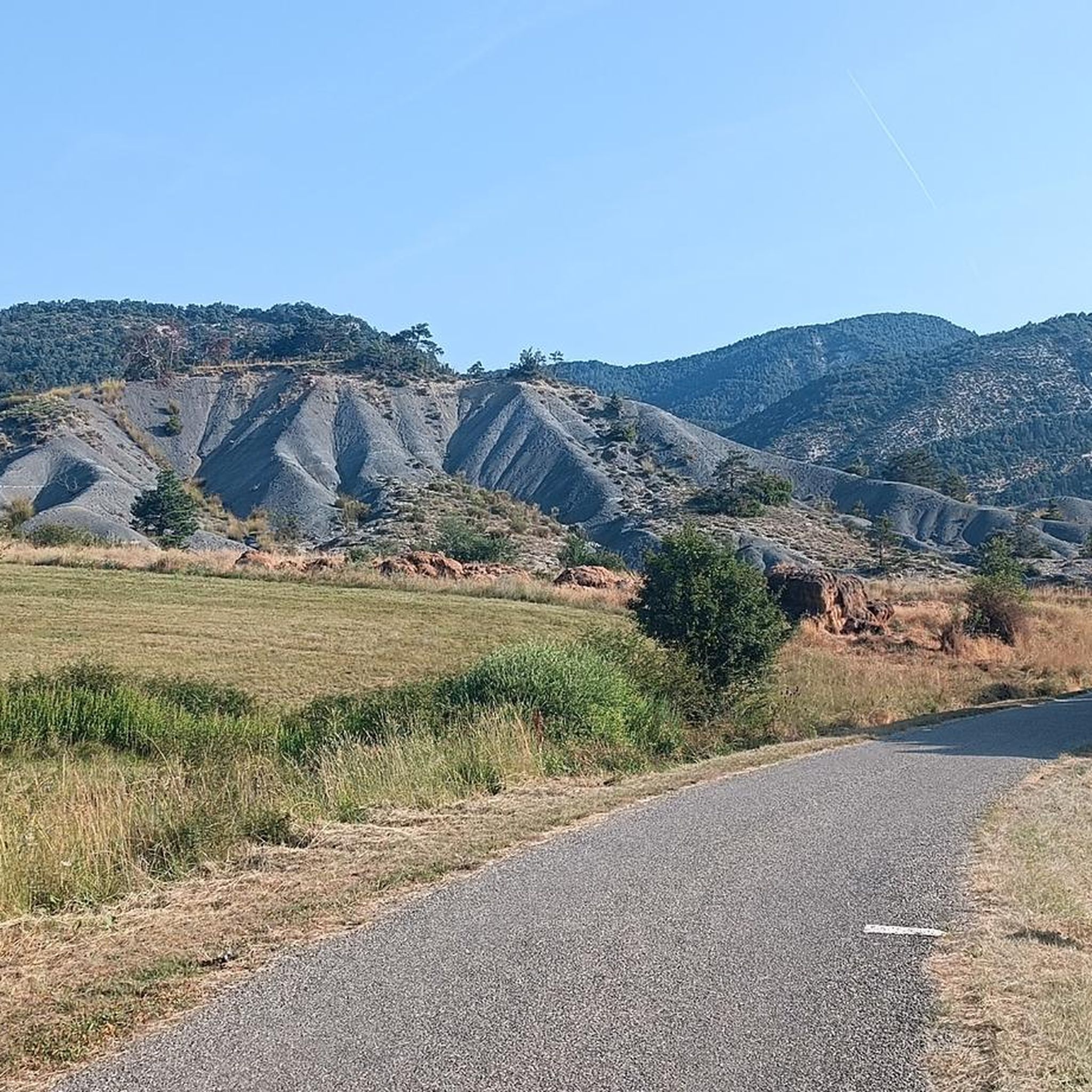
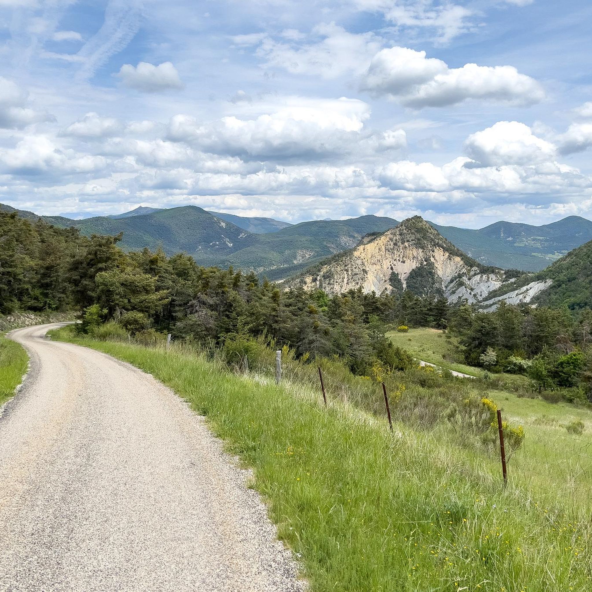
Hiking around Étoile-Saint-Cyrice offers exploration within the Southern French Alps, characterized by a mid-mountain environment at approximately 900 meters altitude. The region features diverse landscapes, including forests, prairies, and marnes, set within the Baronnies Provençales Regional Natural Park. Trails often traverse the Saint-Cyrice communal forest and provide views of the Buëch Valley and the Gorges de la Méouge. This area provides varied terrain suitable for different hiking experiences.
Best hiking trails around Étoile-Saint-Cyrice
- The most popular hiking route is View…
Last updated: July 8, 2026
4.8
(27)
121
hikers
9.21km
03:21
510m
510m
Moderate hike. Good fitness required. Mostly accessible paths. Sure-footedness required.
4.3
(24)
123
hikers
9.02km
03:41
600m
600m
Moderate hike. Good fitness required. Mostly accessible paths. Sure-footedness required.

Sign up for free
4.8
(13)
61
hikers
6.86km
02:41
480m
480m
Moderate hike. Good fitness required. Easily-accessible paths. Suitable for all skill levels.
4.7
(3)
14
hikers
16.7km
05:43
770m
770m
Hard hike. Very good fitness required. Mostly accessible paths. Sure-footedness required.
3.0
(1)
12
hikers
6.04km
01:58
270m
270m
Easy hike. Great for any fitness level. Easily-accessible paths. Suitable for all skill levels.
Get access to more routes and recommendations from other explorers.
Sign up for free
Already have an account?
Our route recommendations are based on thousands of hikes, rides, and runs completed by other people on komoot.
Start today with a free account
Your next adventure awaits.
Login or Signup
Tips from the Community

Orpierre is a small medieval village located in the Hautes-Alpes department in the Provence-Alpes-Côte d’Azur region of southeastern France. It has a population of between 300 and 330 inhabitants and stands in the Céans valley, surrounded by limestone cliffs and mountains that give it a unique landscape setting.
17
0
Orpierre is a small medieval village located in the Hautes-Alpes, in the Provence-Alpes-Côte d'Azur region, in southeastern France.
14
0

At the end of the day you have great light
0
0


Superb path overlooking the village of Orpierre. The view of the castle and the village is splendid. The path winds along the slopes of Rochas.
0
0
Located on the Chabre mountain, the Col Saint-Ange peaks at an altitude of 1,238 meters. Its summit part offers exceptional views all the way to the Alps.
0
0

Orpierre has two camp sites: "Les Princes d'Orange" which is a bit deluxe with swimming pool and chalets and a "family and kids" vibe to it. "Les Noyers" just next to it (and sharing the same reception office) is much cheaper, with very basic facilities (but perfectly clean and agreeable, more laid back and a "climbing / hiking / mountain-biking" vibe. Orpierre also has its own municipal swimming pool. Another very nice camp-site is "Les Catoyes" about 4km up the road towards Laborel. Live bands on Monday evenings in the summer!
4
0
Frequently Asked Questions
How many hiking trails are available around Étoile-Saint-Cyrice?
There are over 50 hiking trails around Étoile-Saint-Cyrice, offering a wide range of options for different skill levels and preferences. You'll find everything from easy strolls to more challenging ascents within the Southern French Alps.
What kind of terrain can I expect on hikes in Étoile-Saint-Cyrice?
The terrain around Étoile-Saint-Cyrice is diverse, ranging from the calming pine scents of the Saint-Cyrice communal forest to open prairies and colorful lavender fields. You'll also encounter unique geological features like marnes (fossil-rich sedimentary rocks) and varied elevation changes typical of a mid-mountain environment.
Are there any family-friendly hiking options in the area?
Yes, Étoile-Saint-Cyrice offers several family-friendly hiking options. Many trails are suitable for leisurely strolls, such as a loop around Étoile-Saint-Cyrice itself, which showcases local flora and historical sites. The region has 13 easy routes, perfect for families.
Can I bring my dog on the hiking trails around Étoile-Saint-Cyrice?
While specific regulations can vary by trail or protected area, generally, dogs are welcome on many hiking trails in the Étoile-Saint-Cyrice region, especially within the natural park. It's always recommended to keep them on a leash, especially in areas with wildlife or livestock, and to carry waste bags.
What are some notable natural features or viewpoints I can see while hiking?
Hikers can enjoy stunning vistas from the Perty Pass and the Saint-Jean Pass. The Montagne de Chabre offers panoramic views over the Buëch Valley, the Provençal Baronnies, the Dévoluy, and the Écrins. You can also experience the dramatic scenery of the Gorges de la Méouge, a significant natural attraction.
Are there any historical landmarks to explore on the trails?
Yes, the 12th-century Romanesque chapel of Saint-Cyrice is a significant historical attraction nestled within the forest, often integrated into hiking routes. The old village of Saint-Cyrice also features preserved vestiges and cobbled paths, offering a glimpse into the past.
What is the best time of year to go hiking in Étoile-Saint-Cyrice?
The region benefits from a temperate climate with cool summers and minimal rainfall in the warmer months, making it pleasant for outdoor pursuits. Spring and autumn offer comfortable temperatures and beautiful scenery, while summer is ideal for higher altitude routes. Winter hiking is possible, but conditions can vary, especially at higher elevations.
Are there any circular hiking routes available?
Yes, many of the trails around Étoile-Saint-Cyrice are designed as loops. For example, the Hiking loop from Orpierre is a popular option, and the Ascent to Rochas loop from Orpierre provides a moderate challenge with rewarding views.
What do other hikers enjoy most about the trails in Étoile-Saint-Cyrice?
The trails in Étoile-Saint-Cyrice are highly rated by the komoot community, with an average score of 4.5 stars. Hikers frequently praise the diverse landscapes, from alpine vistas and pine forests to the preserved natural parks, and the variety of routes suitable for all levels.
Where can I find parking for hiking trailheads?
Parking is generally available near the starting points of many trails, especially in and around villages like Orpierre, which serves as a common trailhead for several routes. Specific parking information can often be found on individual route descriptions.
Are there any challenging or difficult hikes in the area?
Yes, for those seeking a more strenuous experience, Étoile-Saint-Cyrice offers several difficult routes. An example is the Orpierre – Orpierre village centre loop from Orpierre, which covers a longer distance and significant elevation gain, providing a good challenge for experienced hikers.
What is the Baronnies Provençales Regional Natural Park, and how does it relate to hiking here?
Étoile-Saint-Cyrice is located within the Baronnies Provençales Regional Natural Park. This park status signifies a commitment to preserving the area's natural beauty and ecological significance. Hiking within the park means you'll be exploring protected environments, rich in diverse flora and fauna, and enjoying well-maintained trails that highlight the region's unique landscapes.
Most popular routes around Étoile-Saint-Cyrice
Most popular attractions around Étoile-Saint-Cyrice

Get inspired with the komoot mobile app


Explore more
Browse the best Hikes in other regions.
