The best road cycling routes around Natural Park Untere Havel Süd
4.5
(363)
3,941
riders
189
rides
Road cycling around Natural Park Untere Havel Süd offers routes through one of Central Europe's largest continuous wetlands, characterized by the lower Havel River and its expansive lowlands. The terrain is predominantly flat, featuring an extensive network of cycle paths that traverse meadows, forests, and boggy areas. Elevation gains are minimal, with most routes involving only gentle hills. The region provides a suitable environment for road cyclists seeking routes with varied natural scenery.
Best road cycling routes around Natural Park Untere Havel Süd
- The most popular road cycling route is Scenic Riverside Cycle Path – Plauer Gate Tower loop from Hohenferchesar, a 26.2 miles (42.1 km) moderate trail that takes 1 hour 54 minutes to complete. This route follows the Havel River, offering views of the surrounding wetlands.
- Another top favourite among local road cyclists is Bormannsee loop from Premnitz Nord, a moderate 28.4 miles (45.7 km) path. This route circles Bormannsee, providing a ride through the flat landscape with minimal elevation.
- Local road cyclists also love the Knoblauch – Altbensdorf Cycle Path loop from Premnitz Zentrum, a 32.9 miles (52.9 km) trail leading through the Havel lowlands, often completed in about 2 hours 3 minutes.
- Road cycling around Natural Park Untere Havel Süd is defined by flat terrain, extensive cycle paths, and views of the Havel River and its wetlands. The network offers options for different ability levels, from easy to moderate.
- The routes in Natural Park Untere Havel Süd are highly rated by the komoot community with an average score of 4.5 stars from over 360 reviews. More than 4000 road cyclists have used komoot to explore Natural Park Untere Havel Süd's varied terrain.
Last updated: July 11, 2026
4.4
(21)
124
riders
Moderate road ride. Great for any fitness level. Some segments of this route may be unpaved and difficult to ride.
4.5
(12)
58
riders
46.1km
01:48
70m
70m
Moderate road ride. Great for any fitness level. Some segments of this route may be unpaved and difficult to ride.

Sign up for free
5.0
(1)
38
riders
Moderate road ride. Good fitness required. Mostly well-paved surfaces and easy to ride.
5.0
(2)
39
riders
94.8km
03:56
180m
180m
Moderate road ride. Good fitness required. Some segments of this route may be unpaved and difficult to ride.
5.0
(5)
55
riders
39.8km
01:39
60m
60m
Easy road ride. Great for any fitness level. Mostly well-paved surfaces and easy to ride.
Get access to more routes and recommendations from other explorers.
Sign up for free
Already have an account?
Our route recommendations are based on thousands of hikes, rides, and runs completed by other people on komoot.
Start today with a free account
Your next adventure awaits.
Login or Signup
Popular around Natural Park Untere Havel Süd
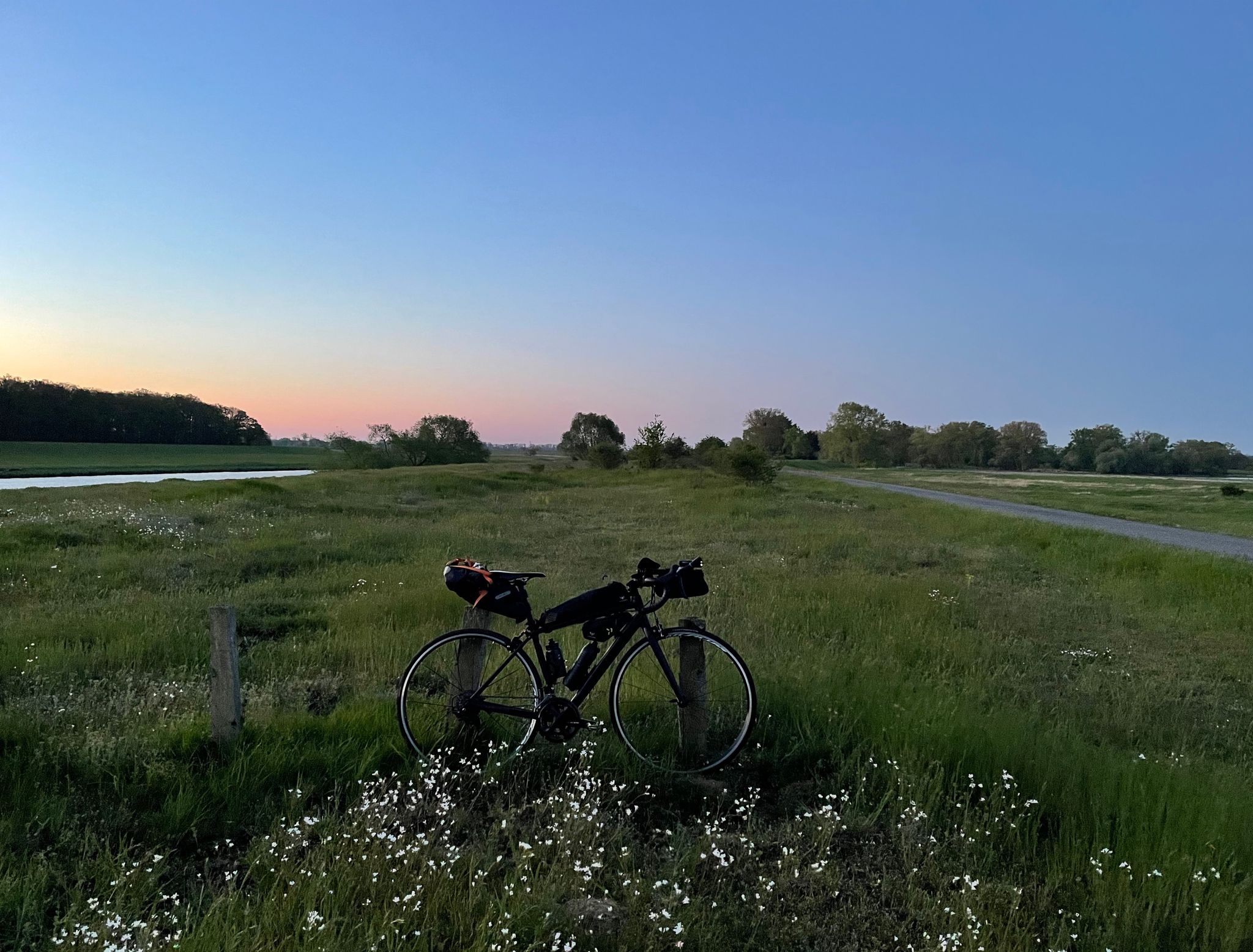
Overnighter between the Havel and Elbe in Germany
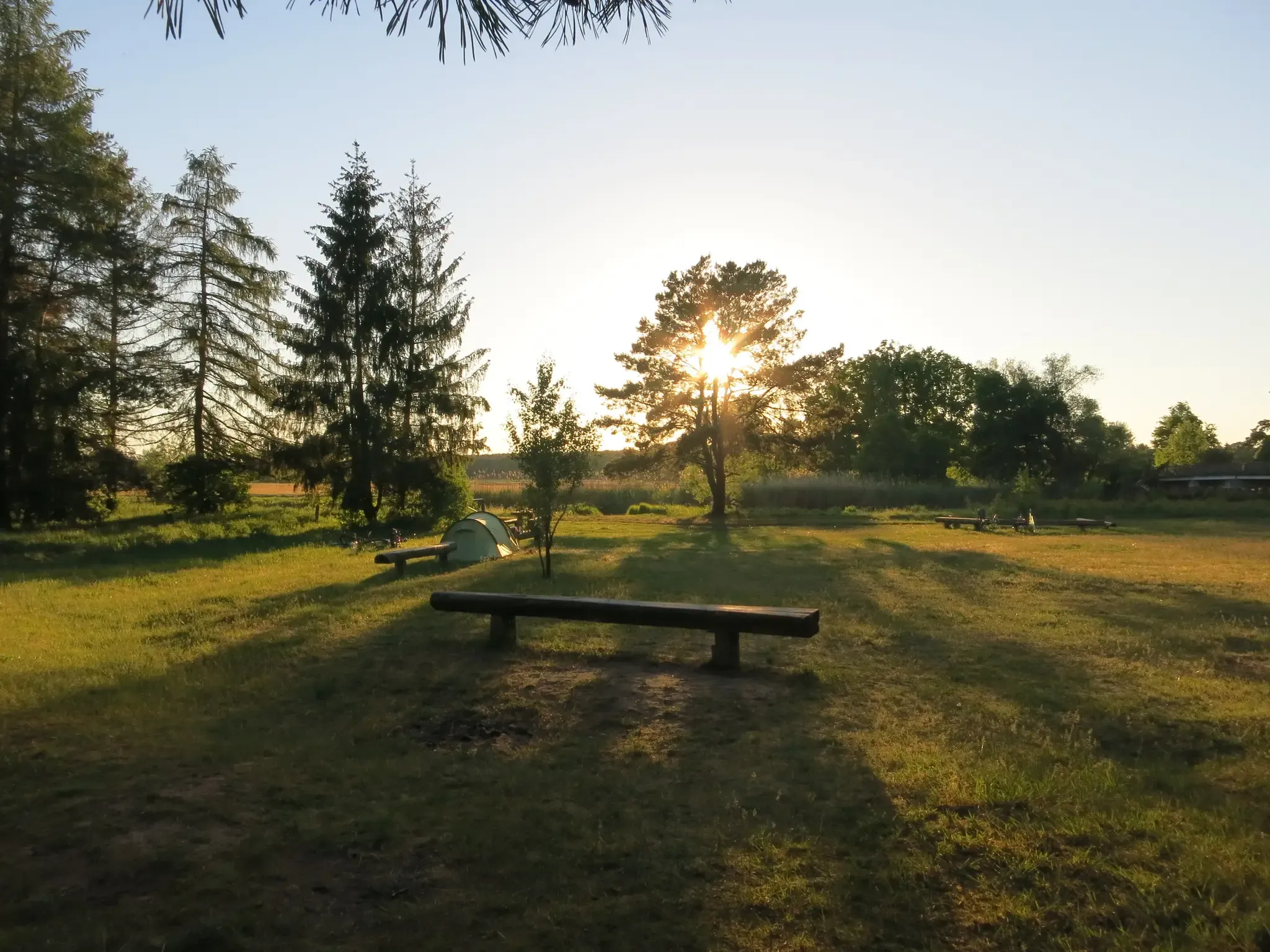
Natural campsites around Berlin
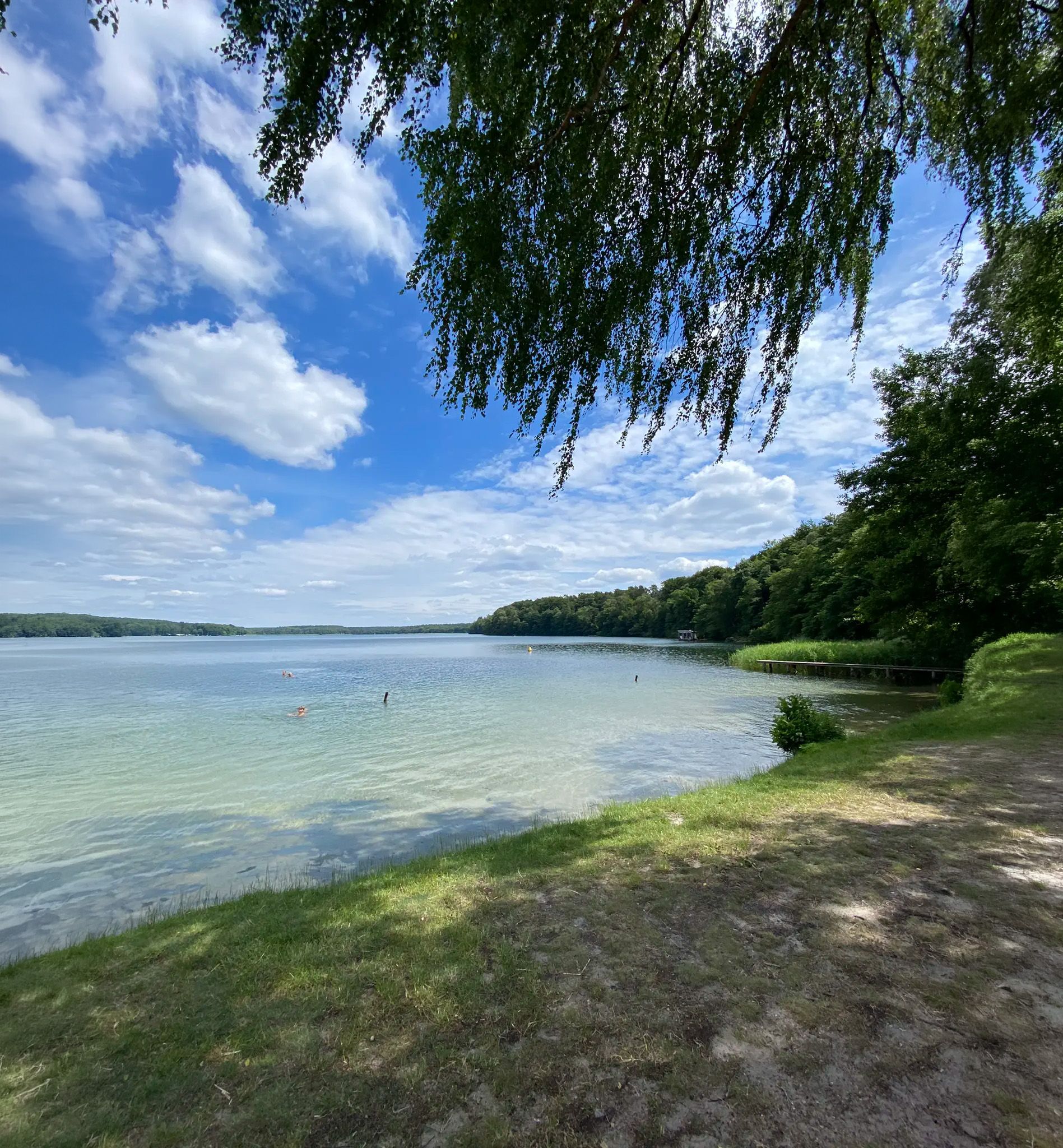
Zwischen Heide und Spree – Mikroabenteuer in Berlin & Brandenburg
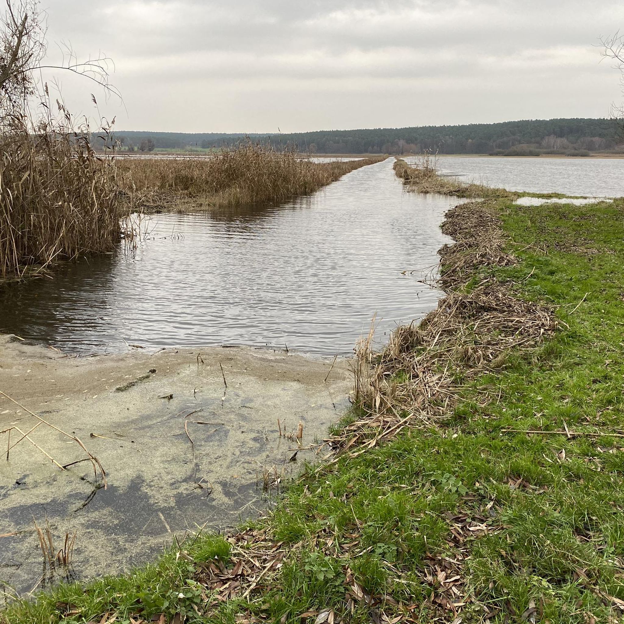
Cycling around Natural Park Untere Havel Süd
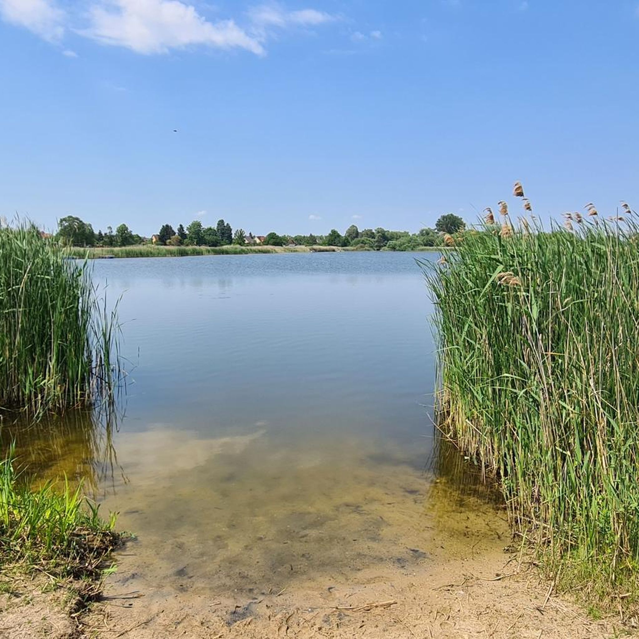
Hiking around Natural Park Untere Havel Süd
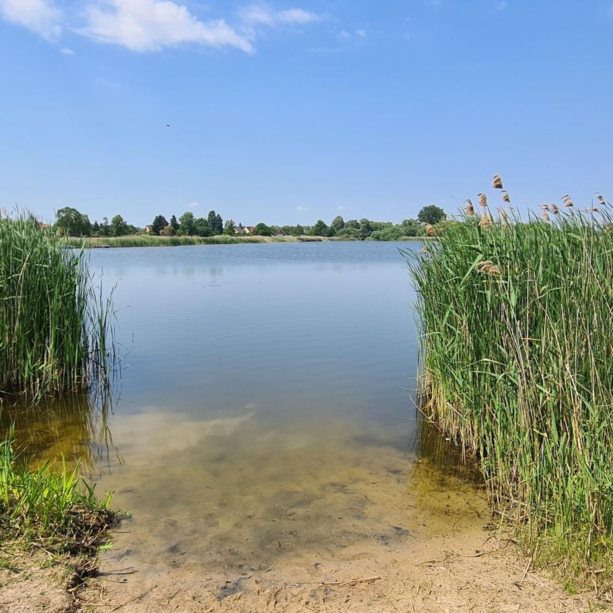
MTB Trails around Natural Park Untere Havel Süd
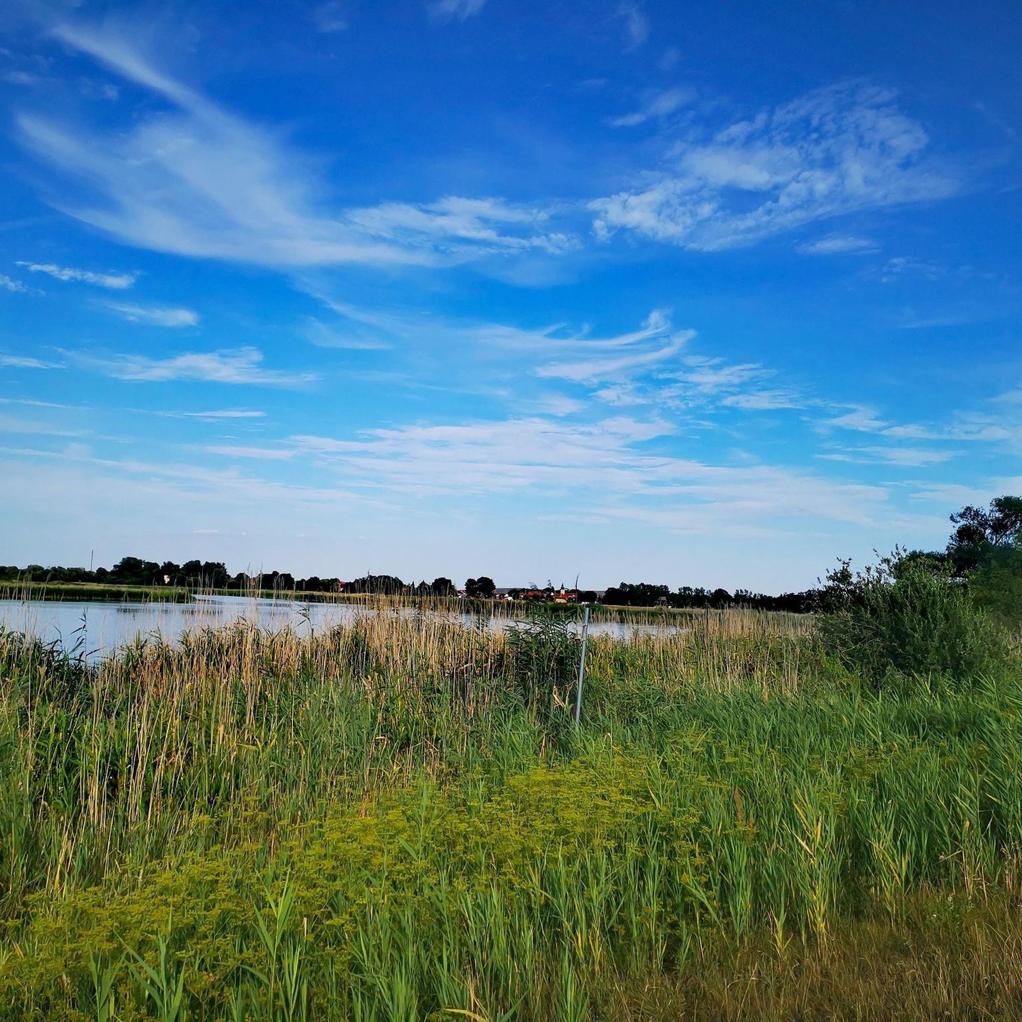
Running Trails around Natural Park Untere Havel Süd
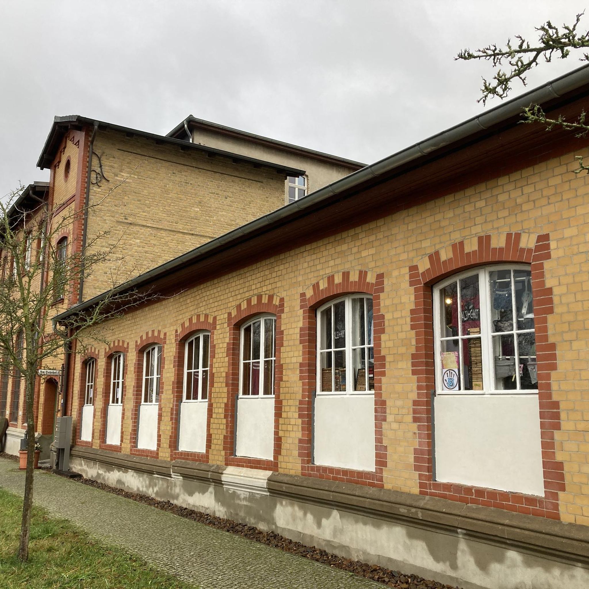
Gravel biking around Natural Park Untere Havel Süd


Tips from the Community

No other path nearby
0
0

Great cycle path along the lake shore. You can observe kites, geese, storks, herons, cormorants, ospreys and sometimes also sea eagles.
0
0

Great route, with a rest stop in the evening sun!
0
0

You cycle through the tranquil lake landscape west of Brandenburg, the asphalt glows softly in the sun, the fields smell of hay, and somewhere frogs croak as if they were on the air. And then suddenly it appears – the church of Semlin. Not a monument to tourist crowds, but a house that simply stands there as if it had always been there. And somehow, it has. It was built between 1730 and 1732 from plastered brickwork, which gives it a stubborn, almost rebellious charm. The hall is strictly rectangular, the tower slightly recessed – as if it wanted to listen, not disturb. The weather vane on the roof has seen more wind directions than one's travel plans. Inside, it is bright, simple, and friendly. No pomp, no pathos – rather, the quiet whisper of past centuries. The organ, the altar, the pulpit: all from 1893. This wasn't a show of ostentation, but a design. And it still works today. Between 1985 and 1988, the church was carefully reconstructed, the beams reframed, and the plaster renewed – as one does with things dear to one's heart. The village church of Semlin isn't a destination for pious pilgrims or architectural guides. But it is a place to pause. For cyclists who value breaks as much as exercise. For people who prefer to observe rather than photograph. And for all those who sometimes feel that history isn't so far away – perhaps just a chime away.
0
0

always nice and off the road
0
0
Somehow the cycle path is currently closed here. The country road has been specially made to 50 km/h
0
0


Former railway line. Caution: some root damage as of April 2025!
0
0
Frequently Asked Questions
What is the typical terrain for road cycling in Natural Park Untere Havel Süd?
The Natural Park Untere Havel Süd is characterized by its predominantly flat terrain, making it ideal for road cycling. Routes generally follow the lower Havel River and its expansive lowlands, traversing meadows, forests, and wetlands with minimal elevation changes. You can expect gentle hills rather than challenging climbs.
Are there road cycling routes suitable for beginners or families in the Natural Park Untere Havel Süd?
Yes, the flat terrain and extensive network of cycle paths make the region very suitable for beginners and families. Many routes are easy to moderate, offering relaxing rides through scenic landscapes. For example, the Rathenow Train Station – Semlin Village Church loop from Mögelin is an easy route that covers nearly 40 km.
What kind of natural features can I expect to see while cycling in the Natural Park Untere Havel Süd?
The region is one of Central Europe's largest continuous wetlands, offering diverse natural beauty. You'll cycle alongside the Havel River, past numerous lakes and tributaries, through meadows, forests, and boggy lowlands. It's a vital habitat for various species, including wading birds, water birds, beavers, and white-tailed eagles. The area is also known for its exceptionally dark night sky, designated as Germany's first 'Star Park'.
Are there any long-distance road cycling routes in the Natural Park Untere Havel Süd?
Yes, the region is home to segments of the Havel Cycle Path, which offers varied and scenic journeys along the river. While many routes are shorter loops, you can combine sections for longer distances. For instance, the Ketzin Ferry – View of Möserscher See loop from Fohrde is a moderate route spanning over 95 km.
What are some interesting landmarks or attractions to visit along the road cycling routes?
Beyond the natural landscapes, you can explore idyllic villages. The Milow Nature Park Center offers insights into the local environment. You might also encounter the Pritzerbe–Kützkow Ferry, offering a unique crossing experience. The Havel Riverside Path itself is a highlight, providing scenic views.
How accessible is the Natural Park Untere Havel Süd by public transport for cyclists?
Many towns within and around the Natural Park, such as Rathenow, have train stations, making them accessible by public transport. These towns often serve as convenient starting points for cycling routes. It's advisable to check local train schedules and bicycle carriage policies when planning your trip.
Are there circular road cycling routes available?
Yes, many of the road cycling routes in the Natural Park Untere Havel Süd are designed as circular loops, allowing you to start and end at the same point. Examples include the Scenic Riverside Cycle Path – Plauer Gate Tower loop from Hohenferchesar and the Bormannsee loop from Premnitz Nord.
What is the best time of year to go road cycling in Natural Park Untere Havel Süd?
The spring, summer, and early autumn months generally offer the most pleasant conditions for road cycling. During these seasons, the weather is typically mild, and the natural landscapes are vibrant. The extensive wetlands are particularly beautiful when in full bloom or displaying autumn colors.
What do other road cyclists enjoy most about cycling in Natural Park Untere Havel Süd?
The area is highly rated by the komoot community, with an average score of 4.5 stars from over 360 reviews. Reviewers often praise the flat, easy-to-navigate terrain, the extensive network of well-maintained cycle paths, and the tranquil natural beauty of the Havel River and its surrounding wetlands.
Are the cycling paths mostly paved or unpaved in the Natural Park Untere Havel Süd?
The Natural Park Untere Havel Süd features an extensive network of cycle paths, with many segments being paved and suitable for road bikes. While the Havel Cycle Path is a major highlight, some mixed-surface sections may exist, particularly on longer, more immersive routes like the Havel Wetland Wander. For specific route surface conditions, checking individual tour details is recommended.
Where can I find places to eat or stay near the cycling routes?
Idyllic villages throughout the Havel region offer various options for cafes, restaurants, and accommodation. Towns like Rathenow and Milow, which hosts the nature park's visitor center, are good places to look for amenities directly bordering or within easy reach of the cycling routes.
Most popular routes around Natural Park Untere Havel Süd
Most popular attractions around Natural Park Untere Havel Süd

Get inspired with the komoot mobile app


Explore more
Browse the best Road cycling routes in other regions.
