The 6 Most Amazing Peaks around Saint-Martin-D'Entraunes
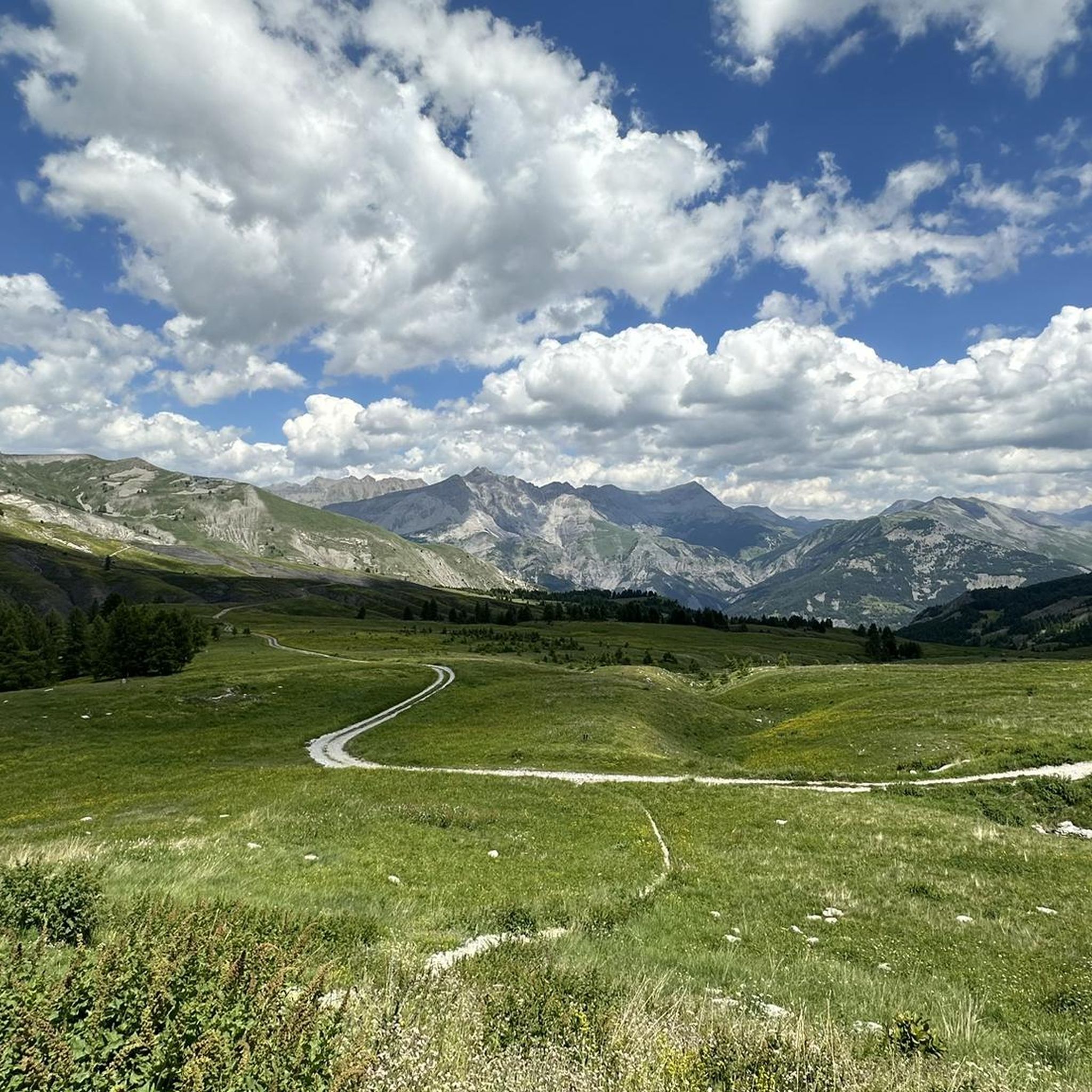
Best mountain peaks around Saint-Martin-D'Entraunes, a commune in the Alpes-Maritimes department, offer a rugged and rewarding mountainous landscape. The terrain in this region ranges significantly in elevation, from 968 meters to 2,742 meters. This area provides diverse natural features for exploration, including prominent peaks and high mountain passes within and around the Mercantour National Park. It is a destination for those seeking varied hiking and exploration opportunities.
Best mountain peaks around Saint-Martin-D'Entraunes
- The most popular mountain peaks is Bercha Peak…
Last updated: May 20, 2026
Summit of Lausson
Highlight • Summit
Translated by Google •
Tip by

Puy Cross
Highlight • Summit
Tip by
Sign up now to discover places like this
Get recommendations on the best single tracks, peaks, & plenty of other exciting outdoor places.
Sign up for free
Bercha Peak
Highlight • Summit
Translated by Google •
Tip by
Avalanche Mountain
Highlight • Summit
Translated by Google •
Tip by

La Grande Tour
Highlight • Summit
Translated by Google •
Tip by

Sign up for free to discover even more peaks around Saint-Martin-D'Entraunes.
Sign up for free
Already have an account?
Start today with a free account
Your next adventure awaits.
Login or Signup
Tips from the Community

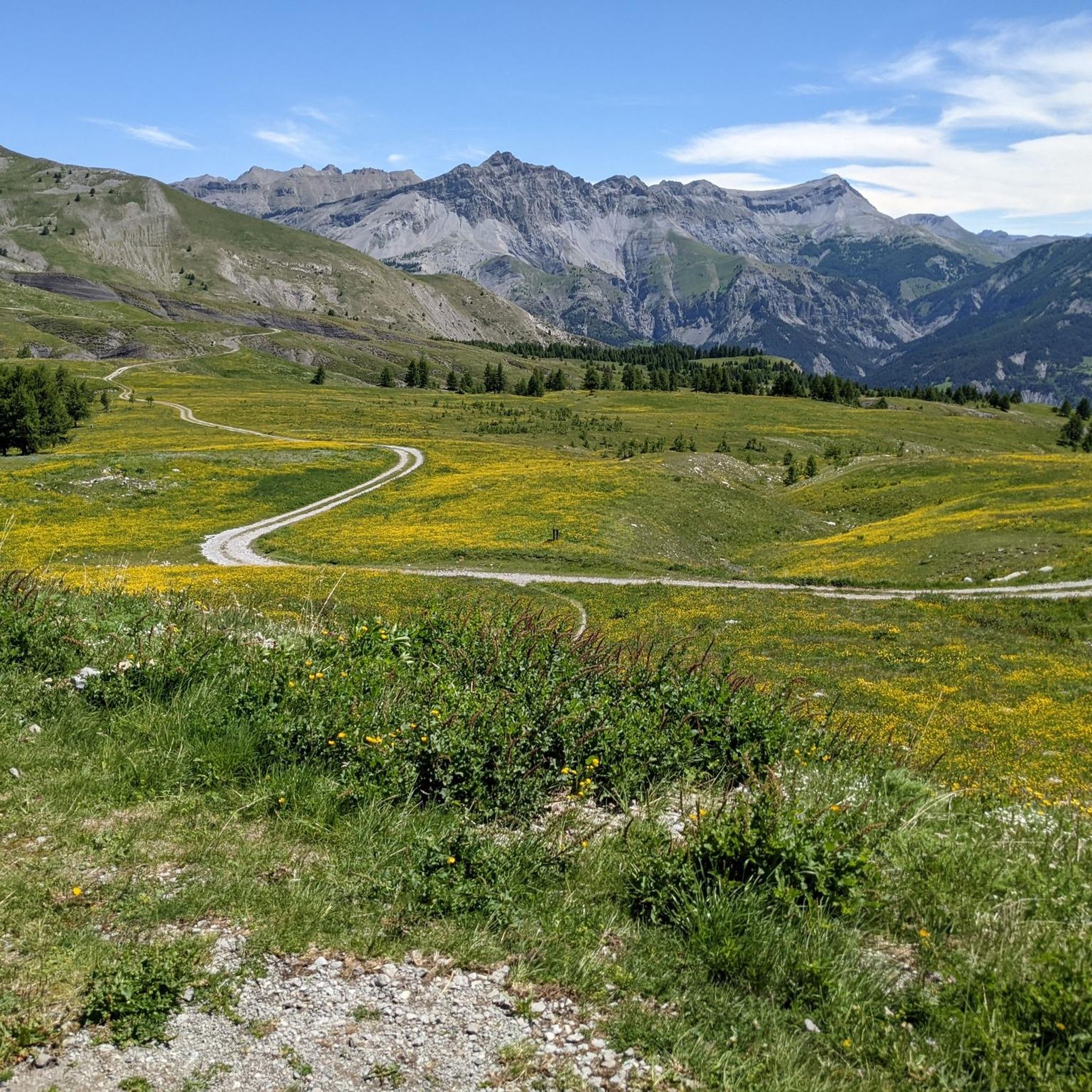
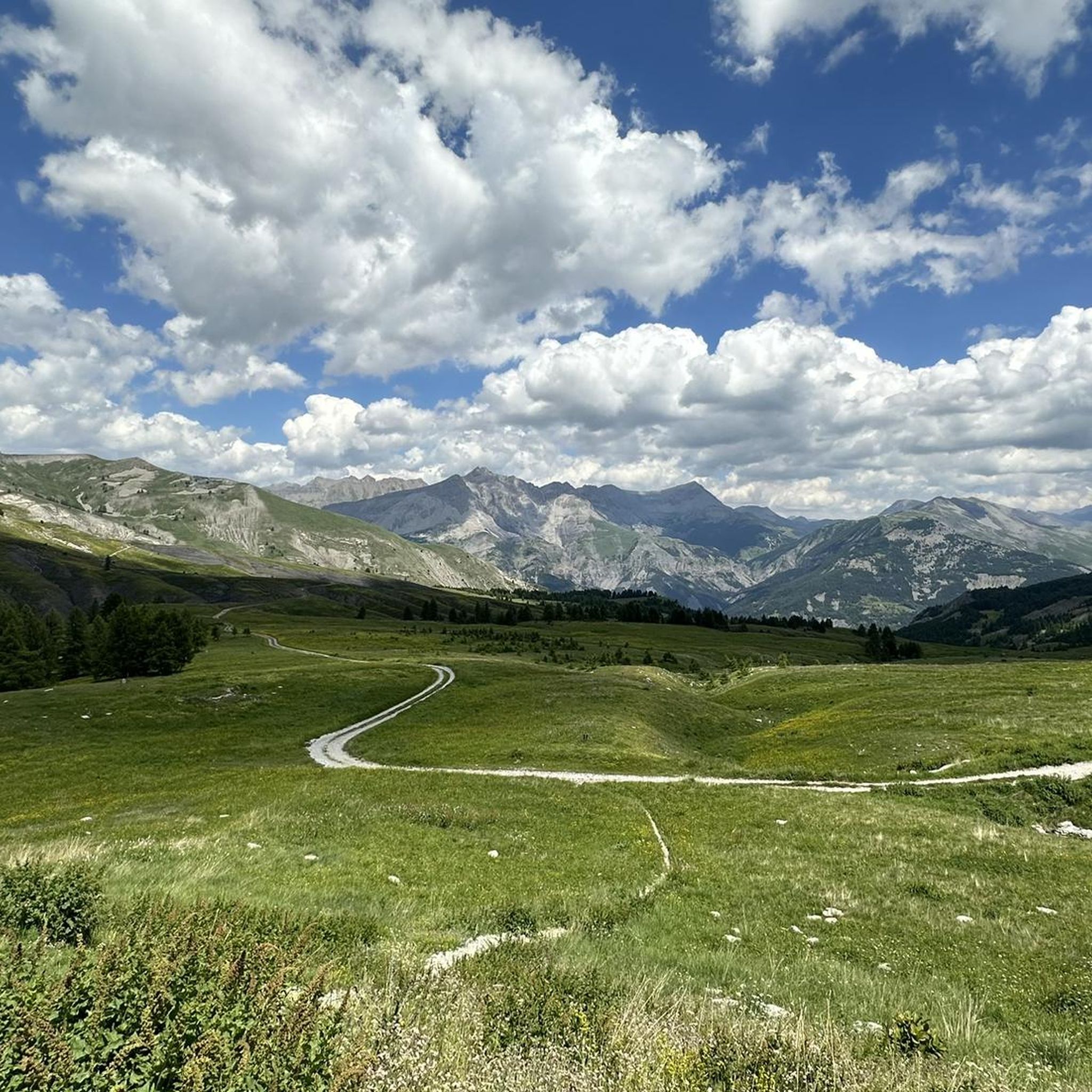
From the Petite Tour, you can easily descend to the Col. Then, it is better to cross while keeping the summit on our left, going as easy as possible. Continue in this way almost to the end before seeing a wide and easy corridor which leads to the upper part of the Tower. You will then have to turn left to reach the summit cairn. The ascent is quite easy, as is the descent, without ever approaching the void. However, it is better to have a little experience with this type of terrain (scree, route finding, etc.). The view from above is magnificent, over Lake Allos of course and Mont Pelat but also over the other side as well as over the Petite Tour, an obligatory passage to go up to the Grande Tour on an easy hike. To do if you are in the area!
4
0

Wide view, notably of the Plateau d'Auron.
0
0

Passage with a magnificent view of Lake Allos and arrival at the top of Pas du Lausson at 2602 m to enjoy a stunning view of the massifs. Continue towards the Col de la Petite Cayole or under a ravine (somewhat narrow and high road) you will successively discover two lakes with transparent and green water. Descent towards Lake Allos.
1
0

At 2444 m, the Cime de la Bercha offers a total panorama of the Mercantour National Park. The views are absolutely stunning. Nice climb and fun descents to Auron.
0
0
The cross overlooks the villages of Colmars, Villars-Colmars and Beauvezer and offers a magnificent panorama of the upper Verdon valley.
1
0
The cross overlooks the villages of Colmars, Villars-Colmars and Beauvezer and offers a magnificent panorama of the upper Verdon valley.
0
0
Beautiful views of the valley and the mountains from the summit of Lausson at 2,645 meters. Ibex are often found there.
1
0

Frequently Asked Questions
What are some of the most notable mountain peaks and features around Saint-Martin-D'Entraunes?
Beyond the popular spots, the region offers several significant peaks and passes. These include the challenging Cime de l'Aspre (2,471 meters) with its historical observatory, and the high mountain passes like Col de la Cayolle (2,326 meters) and Col des Champs (2,087 meters), which are surrounded by impressive summits and offer diverse landscapes within the Mercantour National Park.
Are there any particularly challenging mountain peaks for experienced hikers?
Yes, the Cime de l'Aspre (2,471 meters) is known for being a challenging yet rewarding adventure, primarily suited for experienced hikers. The ascent often involves varied terrain, including black marls and forests, leading to an austere, wind-swept summit.
What kind of views can I expect from the mountain peaks in this area?
The peaks around Saint-Martin-D'Entraunes offer breathtaking panoramic views. From the Cime de l'Aspre, you can see stunning surrounding landscapes. The Col de la Cayolle provides exceptional views encompassing the high valley of the Bachelard and the village of Entraunes. From View of Lake Allos from Mont Pelat, you get an incredible perspective of the Écrins and Cerces massifs, and Lake Allos below.
What natural features can I discover while exploring the mountains here?
The region is rich in natural features. Near the Col de la Cayolle, you can find the source of the Var River and the striking red-rock Gorges de Daluis. The Mercantour National Park, which encompasses many of these peaks, boasts diverse flora, including orchids, and abundant fauna like marmots and ibex, often spotted near the Summit of Lausson.
Are there any historical or cultural points of interest on these mountain peaks?
Yes, the Cime de l'Aspre features remnants of an old observatory at its peak, adding a unique historical and cultural element to the natural beauty. This testifies to the exceptional clarity of the sky in the region.
What outdoor activities can I do near these mountain peaks?
The area is excellent for various outdoor activities. Cyclists frequent the high mountain passes like Col de la Cayolle and Col des Champs, which are part of popular cycling circuits. Hikers can find numerous trails, including those leading to plateaus with exceptional panoramas. You can also explore MTB Trails, Running Trails, and Cycling routes in the vicinity.
Are there any family-friendly mountain walks or viewpoints?
While many peaks offer challenging climbs, some viewpoints might be more accessible. For instance, Puy Cross offers a magnificent panorama of the upper Verdon valley overlooking several villages, which could be a rewarding destination for families seeking scenic views without extreme difficulty.
What is the best time of year to visit the mountain peaks around Saint-Martin-D'Entraunes?
Given the region's high-altitude peaks and challenging mountain passes, the best time to visit for hiking and cycling is typically during the warmer months, from late spring to early autumn, when the passes are clear of snow and weather conditions are more stable. This allows for safe exploration of the diverse terrain and enjoyment of the abundant flora.
Where can I find a panoramic view of the Mercantour National Park?
For a comprehensive view of the Mercantour National Park, consider visiting Bercha Peak. At 2444 meters, the Cime de la Bercha offers a total panorama of the park, with absolutely stunning views.
What kind of wildlife might I encounter in the mountains?
The Mercantour National Park, which includes many of these peaks, is home to diverse wildlife. Visitors often spot marmots, especially around the high mountain passes like Col de la Cayolle. Ibex are also frequently found, particularly near the Summit of Lausson.
Are there any circular routes for hiking or cycling in the area?
Yes, the region offers several circular routes. The hike to Cime de l'Aspre can be part of a scenic circular hike via Roche de la Maïre. For cyclists, the Col de la Cayolle and Col des Champs are integral parts of a popular 'Three Passes' cycling circuit, offering a challenging and scenic round trip.
What is the highest point mentioned in the region?
While the terrain of Saint-Martin-D'Entraunes itself ranges up to 2,742 meters, one of the most prominent summits mentioned is Mont Pelat, a limestone summit located at 3,051 meters above sea level, dominating its namesake massif.
Most popular routes around Saint-Martin-D'Entraunes
Most popular attractions around Saint-Martin-D'Entraunes

Get inspired with the komoot mobile app


Explore more
See even more amazing summits around Saint-Martin-D'Entraunes with these guides:
