Saint-Martin-D'Entraunes
Saint-Martin-D'Entraunes
The best MTB trails around Saint-Martin-D'Entraunes
4.4
(114)
1,097
riders
45
rides
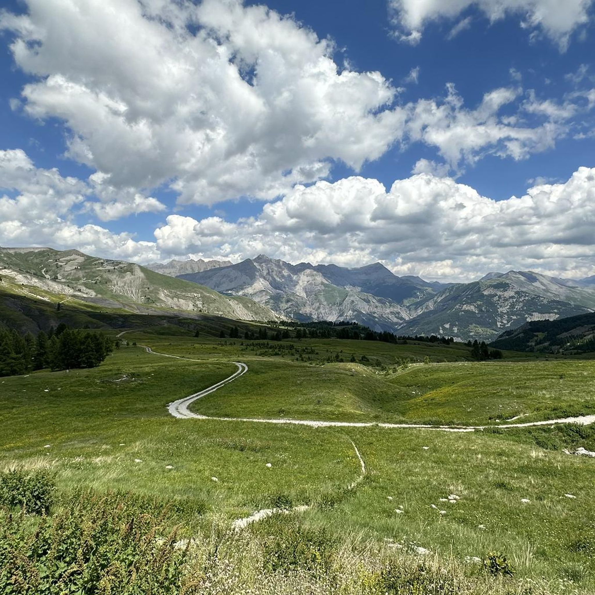
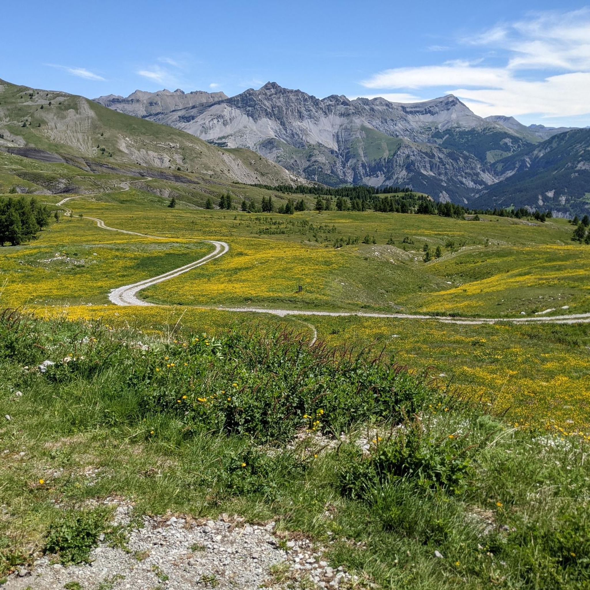
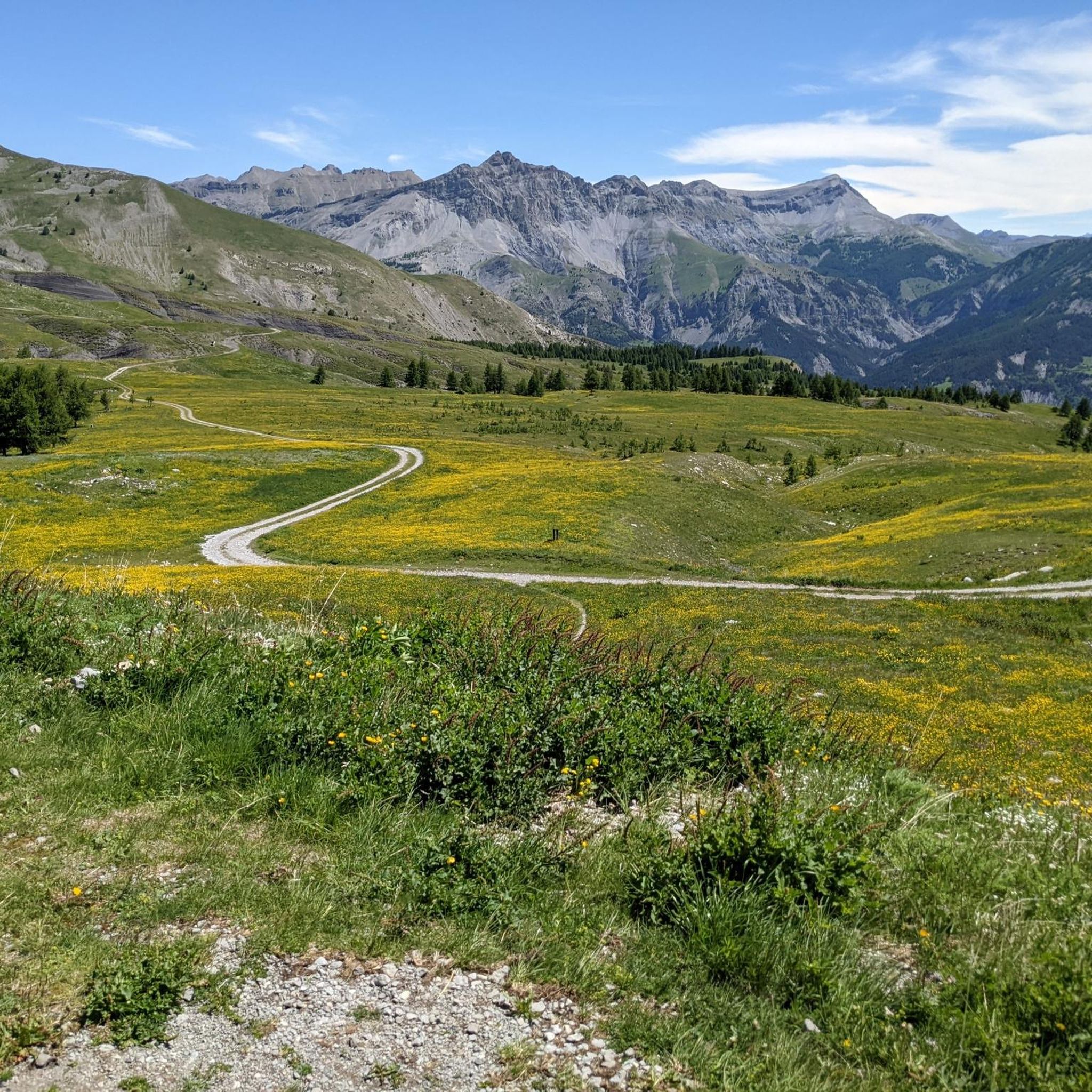
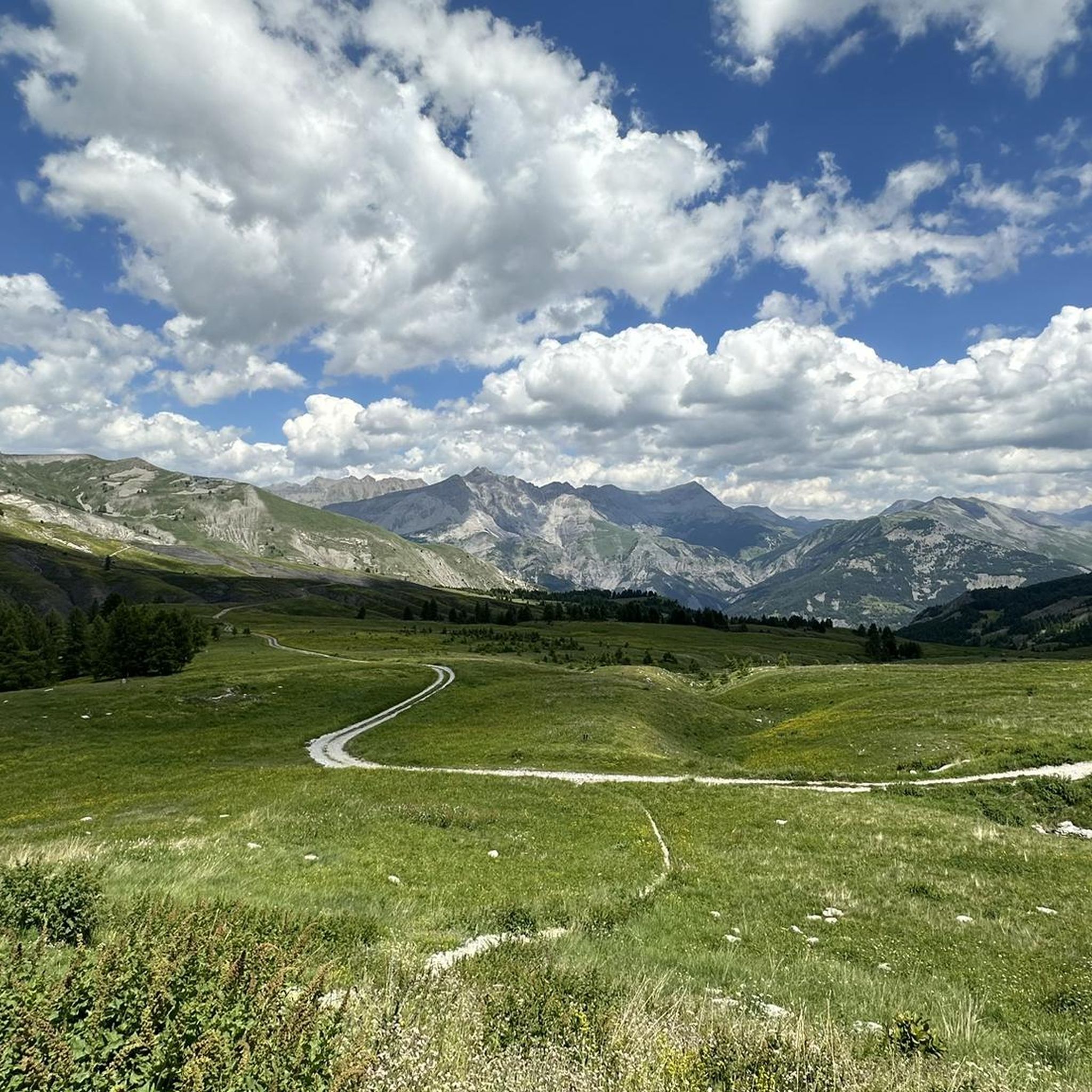
Mountain bike trails around Saint-Martin-D'Entraunes navigate a landscape characterized by dramatic mountain passes and deep river valleys. The region features the Gorges de Daluis, where the Var River carves through red sandstone, and is bordered by the Mercantour National Park. This area offers varied terrain, from challenging climbs over high mountain passes to routes through forested areas and along valley floors. The elevation changes provide diverse mountain biking experiences.
Best mountain bike trails around Saint-Martin-D'Entraunes
- The most popular mountain bike…
Last updated: October 27, 2026
5.0
(2)
14
riders
38.6km
04:43
1,250m
1,260m
Hard mountain bike ride. Very good fitness required. Advanced riding skills necessary. Some portions of the route may require you to push your bike.
6
riders
Hard mountain bike ride. Very good fitness required. Advanced riding skills necessary. Some portions of the route may require you to push your bike.

4.8
(5)
43
riders
39.2km
04:15
1,210m
1,210m
Hard mountain bike ride. Very good fitness required. Advanced riding skills necessary.
5.0
(3)
42
riders
35.4km
04:21
1,280m
1,280m
Hard mountain bike ride. Very good fitness required. Advanced riding skills necessary. Some portions of the route may require you to push your bike.
5.0
(3)
32
riders
23.8km
03:28
1,270m
1,270m
Hard mountain bike ride. Very good fitness required. Advanced riding skills necessary.
Get access to more routes and recommendations from other explorers.
Already have an account?
Our route recommendations are based on thousands of hikes, rides, and runs completed by other people on komoot.
Start today with a free account
Your next adventure awaits.
Tips from the Community

The challenging final stretch of the climb to Col des Champs is surrounded by an infinite landscape
0
0


The Col des Champs is a mountain pass with an altitude of 2,087 meters and connects Haute-Provence with the Alpes-Maritimes, all within the Mercantour National Park. The pass is part of the so-called Route des Trois Cols, an interesting circular route with three passes above 2,000 meters. This route connects the Col d'Allos with the Col de la Cayolle via this pass, thus linking the Allos Valley (Haute-Verdon) with the Var Valley. Its two slopes share the ruggedness of a major Alpine pass.
0
0

This village stands out more for its architecture (walls and very pretty houses) than for the hikes that start there. Indeed, apart from a few walks like the Cascade de la Lance (magnificent) or the long climb to the Allos lake, the hiking departures are rather to be found on the side of Allos or Foux d'Allos.
0
0

Beautiful village with intact defensive wall
0
0

A tunnel dug into the rock, like the several that exist between Barcelonnette and Entraumes through the Col de la Cayolle. Without a doubt, it is worth taking a photo in one of them.
1
0

The Col des Champs peaks at 2087m and is relatively unknown to cyclists and non-locals. From Colmars les Alpes, a climb of around 11 km awaits you and which can frighten many amateur cyclists with its average percentage of 7.5%. Apart from a small flat area at 1700m at the Ratery chalet and the final slight descent, the ascent will very rarely go below 7% with sections exceeding 10%.
1
0

This Alpine village marked by its military architecture is nestled in the upper Verdon valley. It is the perfect base camp for cycling lovers who want to explore the surrounding passes.
0
0
Frequently Asked Questions
How many mountain bike trails are available around Saint-Martin-D'Entraunes?
There are over 45 mountain bike trails around Saint-Martin-D'Entraunes, offering a wide range of experiences for different skill levels. The region features a mix of moderate and difficult routes, with 16 moderate and 32 difficult trails.
What kind of terrain can I expect on mountain bike trails in Saint-Martin-D'Entraunes?
The terrain around Saint-Martin-D'Entraunes is dramatically varied. You'll encounter challenging mountain passes like the Col de la Cayolle and Col de Champs, deep river valleys, and routes through the stunning Gorges de Daluis, where the Var River carves through red sandstone. Many trails also traverse the expansive Mercantour National Park, offering diverse landscapes from high alpine to forested areas.
Are there any easy mountain bike trails suitable for beginners in Saint-Martin-D'Entraunes?
While the region is known for its challenging routes, there is at least one easy mountain bike trail available around Saint-Martin-D'Entraunes. Most routes are classified as moderate to difficult, so beginners should carefully check trail descriptions and elevation profiles before setting out.
What are some notable natural features or landmarks I can see along the mountain bike trails?
The trails often pass by spectacular natural features. You can explore the dramatic Gorges de Daluis with its red sandstone cliffs. Many routes venture into the Mercantour National Park. For specific points of interest, consider visiting Lake Allos, Europe's largest natural high-altitude lake, or experiencing the panoramic views from Cayolle Pass or Champs Pass.
Are there any circular mountain bike routes in the area?
Yes, there are several circular mountain bike routes. One popular option is the Col des Champs and the gray lands from Saint-Martin-d'Entraunes – loop in the Mercantour National Park, a challenging 29.4-mile (47.3 km) path with significant elevation gain. Another is the Sauze loop from Saint-Martin-d'Entraunes, which is 24.2 miles (38.9 km) long.
What is the best time of year to go mountain biking in Saint-Martin-D'Entraunes?
The best time to go mountain biking in Saint-Martin-D'Entraunes is typically from late spring through early autumn (May to October). During these months, the mountain passes are generally clear of snow, and the weather is more favorable for cycling. Always check local weather and trail conditions, especially for higher elevation routes, as conditions can change rapidly.
Are there any family-friendly mountain bike trails in Saint-Martin-D'Entraunes?
While many trails in Saint-Martin-D'Entraunes are rated as moderate to difficult due to significant elevation changes and technical sections, there are options that might be suitable for families with older, experienced children. For younger families or those seeking very easy rides, it's advisable to look for specific, shorter, and flatter sections of trails or dedicated family cycling paths in the valley floors, as the region is primarily known for its challenging mountain terrain.
What do other mountain bikers enjoy most about mountain biking in Saint-Martin-D'Entraunes?
The area is highly rated by the komoot community, with an average score of 4.4 stars from over 90 reviews. Reviewers often praise the epic landscapes, the challenging climbs over high mountain passes like the Col de la Cayolle, and the diverse terrain found within the Mercantour National Park and the Gorges de Daluis. The sense of adventure and the stunning natural beauty are frequently highlighted.
How long do mountain bike trails typically take to complete in this region?
Trail durations vary significantly based on length and difficulty. For example, the difficult La Traversée des Baussées, at 24.0 miles (38.6 km), typically takes around 4 hours 43 minutes. Longer, more challenging routes like the Col des Champs loop (29.4 miles / 47.3 km) can take over 6 hours due to significant elevation gain.
Is public transport available to access mountain bike trailheads in Saint-Martin-D'Entraunes?
Public transport options directly to specific mountain bike trailheads in Saint-Martin-D'Entraunes can be limited due to the remote, mountainous nature of the region. It's generally recommended to travel by car to access many of the starting points for these trails, especially those leading to higher mountain passes. Always check local bus schedules for the most up-to-date information on routes connecting to the village or nearby towns.
Are there any mountain bike trails that offer views of the Gorges de Daluis?
Yes, many mountain bike trails in the Saint-Martin-D'Entraunes area offer stunning views of the Gorges de Daluis. The region is characterized by the Var River carving through dramatic red sandstone, and routes often follow the Var Valley, providing spectacular vistas of this natural wonder. You'll find opportunities to witness this unique landscape on various trails throughout the area.
What is the average elevation gain on mountain bike trails around Saint-Martin-D'Entraunes?
The mountain bike trails around Saint-Martin-D'Entraunes are known for significant elevation changes. For difficult routes, you can expect substantial climbs. For instance, the Col des Champs loop involves over 2,200 meters of elevation gain, while La Traversée des Baussées has over 1,250 meters of ascent. Even moderate trails will feature notable climbs, reflecting the mountainous terrain.
Most popular attractions around Saint-Martin-D'Entraunes

Get inspired with the komoot mobile app


Explore more
Browse the best MTB trails in other regions.
