Saint-Martin-D'Entraunes
Saint-Martin-D'Entraunes
The best walks and hikes around Saint-Martin-D'Entraunes
4.6
(538)
6,005
hikers
97
hikes
Hiking trails around Saint-Martin-D'Entraunes traverse a landscape characterized by alpine passes, river valleys, and forested areas. The region features varied terrain, from gentle slopes to more challenging ascents, with elevations that offer expansive views. This area, part of the French Alps, includes a mix of open meadows and denser woodlands, providing diverse environments for outdoor activities.
Best hiking trails around Saint-Martin-D'Entraunes
- The most popular hiking route is Champs Pass – Beautiful view loop from Col des Champs, a 3.3…
Last updated: October 26, 2026
5.0
(2)
29
hikers
13.1km
04:23
530m
530m
Moderate hike. Good fitness required. Mostly walkable paths. Sure-footedness required.
8
hikers
17.8km
06:47
930m
930m
Hard hike. Very good fitness required. Mostly walkable paths. Sure-footedness required.

4.5
(2)
10
hikers
Moderate hike. Good fitness required. Easily walkable paths.
4
hikers
16.4km
07:17
1,150m
1,150m
Hard hike. Very good fitness required. Mostly walkable paths. Sure-footedness required.
5.0
(2)
5
hikers
2.81km
00:49
80m
80m
Easy hike. Easily walkable paths.
Get access to more routes and recommendations from other explorers.
Already have an account?
Our route recommendations are based on thousands of hikes, rides, and runs completed by other people on komoot.
Start today with a free account
Your next adventure awaits.
Tips from the Community

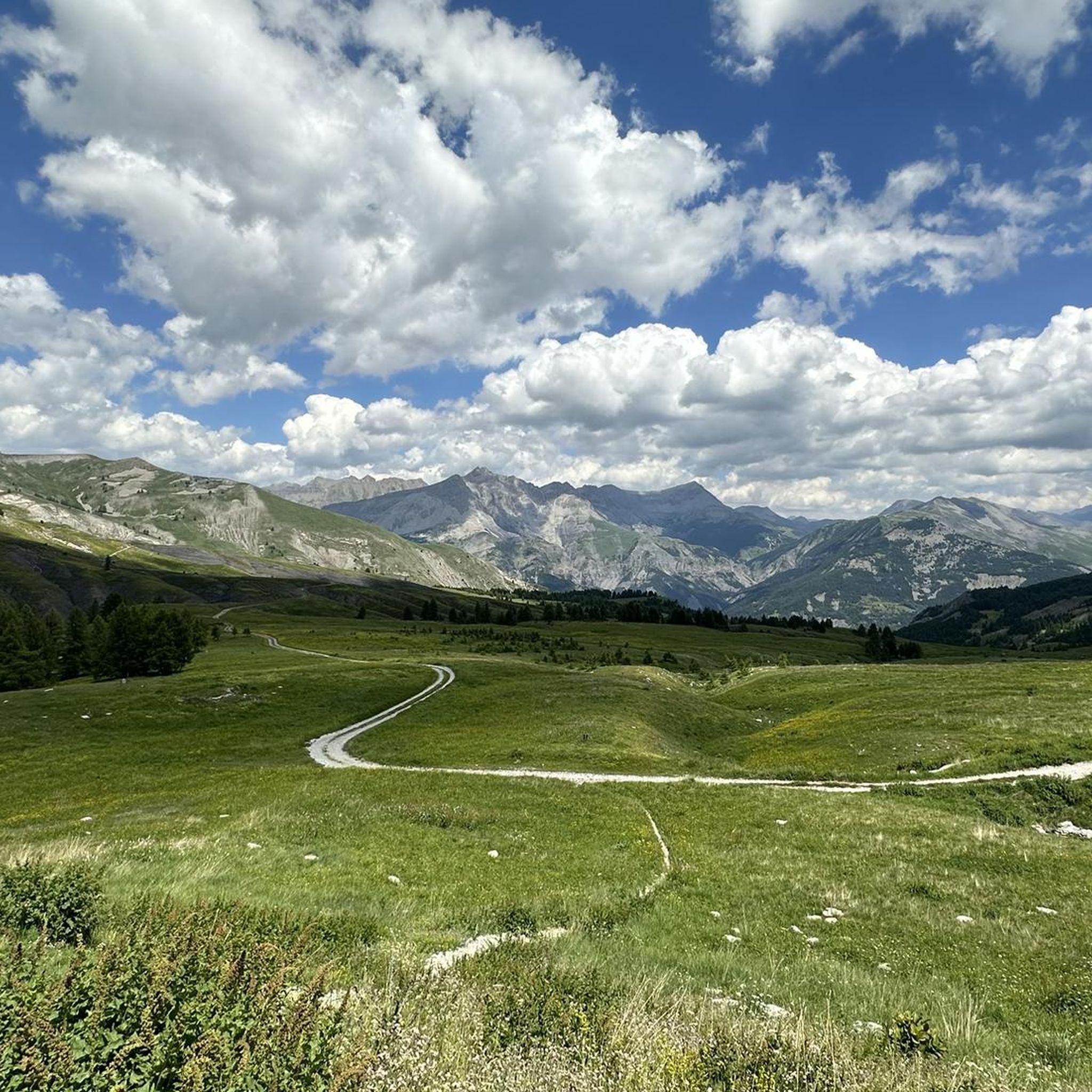
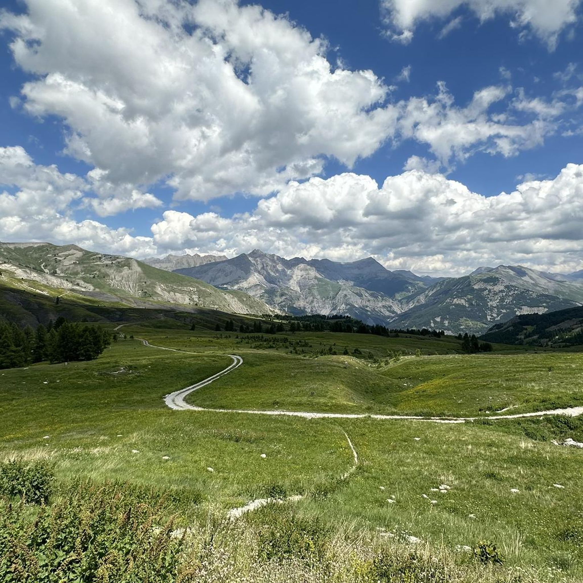
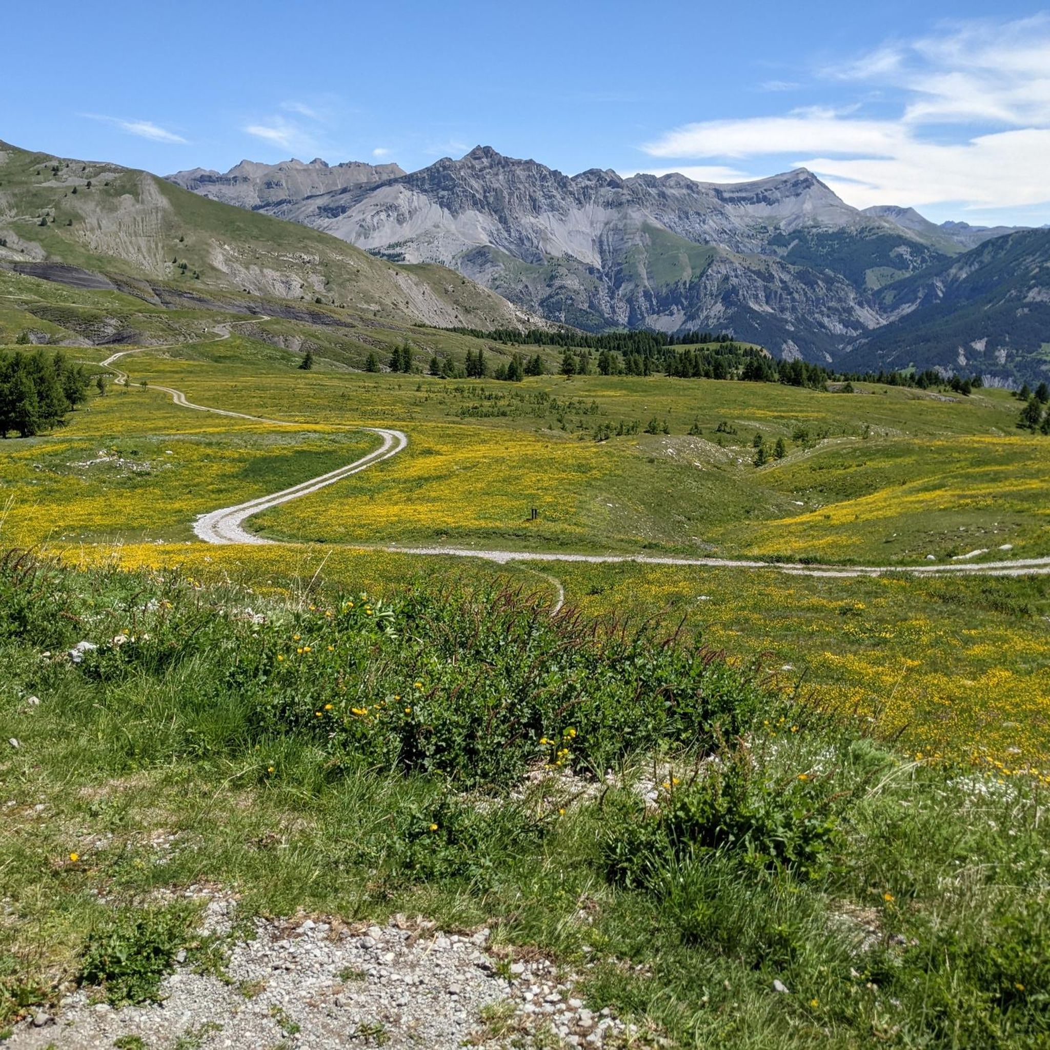
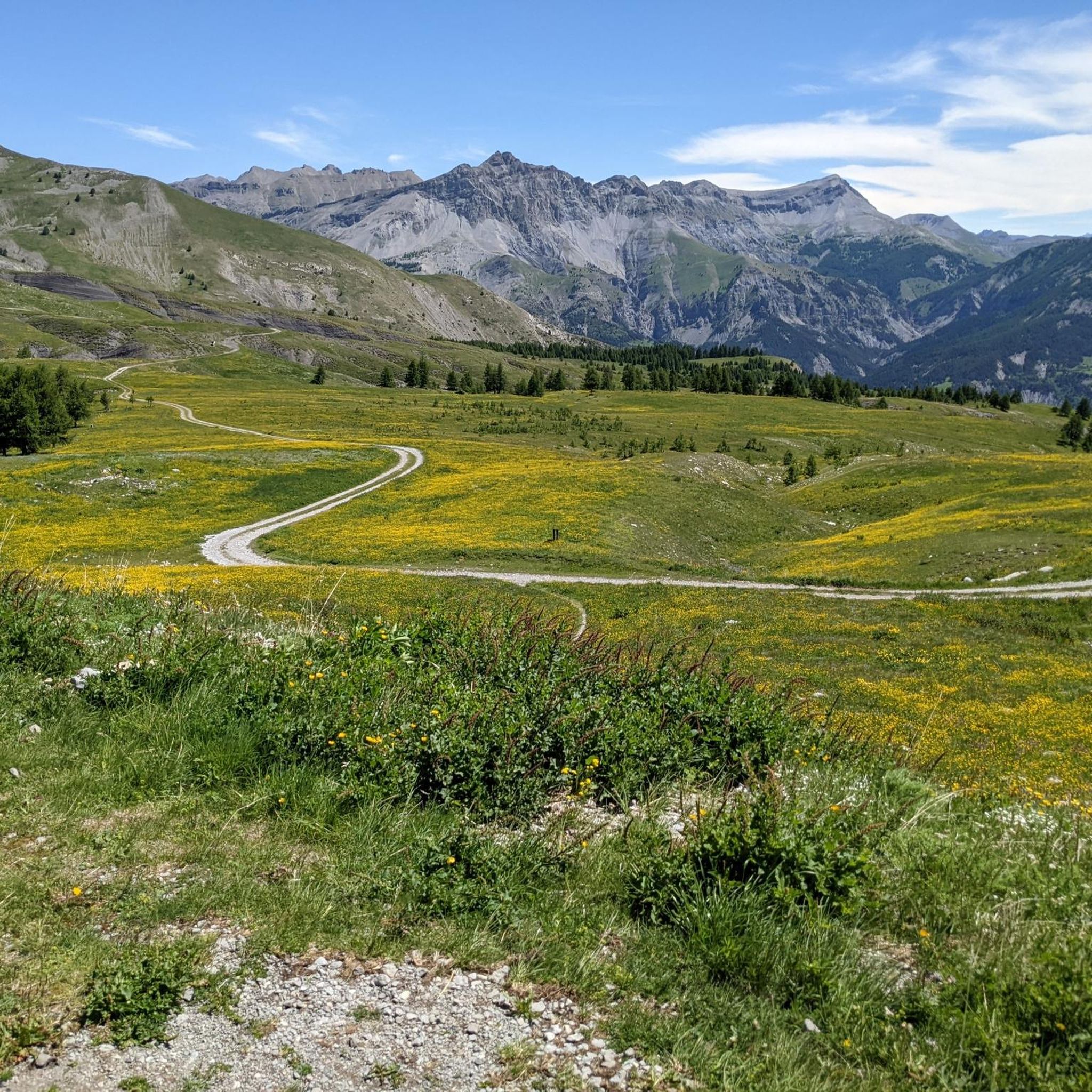
The challenging final stretch of the climb to Col des Champs is surrounded by an infinite landscape
0
0

The Col des Champs is a mountain pass with an altitude of 2,087 meters and connects Haute-Provence with the Alpes-Maritimes, all within the Mercantour National Park. The pass is part of the so-called Route des Trois Cols, an interesting circular route with three passes above 2,000 meters. This route connects the Col d'Allos with the Col de la Cayolle via this pass, thus linking the Allos Valley (Haute-Verdon) with the Var Valley. Its two slopes share the ruggedness of a major Alpine pass.
0
0

Gorgeous pass with very little traffic and perfect asphalt.
18
0
A long climb but never too difficult, the views are stunning.
17
0
Very long climb with wonderful views.
16
0
A very long climb with little traffic, the asphalt is in perfect condition and the gradients are never too steep.
15
0


The Col des Champs peaks at 2087m and is relatively unknown to cyclists and non-locals. From Colmars les Alpes, a climb of around 11 km awaits you and which can frighten many amateur cyclists with its average percentage of 7.5%. Apart from a small flat area at 1700m at the Ratery chalet and the final slight descent, the ascent will very rarely go below 7% with sections exceeding 10%.
1
0
Frequently Asked Questions
How many hiking trails are available around Saint-Martin-D'Entraunes?
There are nearly 100 hiking trails in the Saint-Martin-D'Entraunes region, offering a wide variety of options for different skill levels and preferences. You'll find everything from easy strolls to challenging ascents.
Are there any easy hiking trails suitable for beginners or families in Saint-Martin-D'Entraunes?
Yes, Saint-Martin-D'Entraunes offers 23 easy hiking routes perfect for beginners or families. One excellent option is the Champs Pass – Beautiful view loop from Col des Champs, which is 3.3 miles (5.4 km) long and provides panoramic views without significant difficulty.
What kind of natural attractions can I expect to see along the hiking trails?
The region is rich in natural beauty. Hikers can discover stunning features like the Lance Waterfall, the majestic Cayolle Pass, and the scenic Champs Pass. There are also viewpoints offering vistas of Lake Allos from Mont Pelat.
Are there any circular hiking routes in the area?
Many trails in Saint-Martin-D'Entraunes are designed as loops, allowing you to start and end at the same point. Examples include the moderate Small waterfall with bridge – Waterfall loop from Entraunes or the more challenging Champs Pass – Boulangerie loop from Col des Champs.
What is the best time of year to go hiking in Saint-Martin-D'Entraunes?
The best time for hiking in Saint-Martin-D'Entraunes is typically from late spring to early autumn (May to October). During these months, the weather is generally mild, and the alpine passes are usually clear of snow, offering optimal conditions for exploring the diverse landscapes.
Are there any trails that feature waterfalls?
Yes, if you're looking for waterfalls, consider the Small waterfall with bridge – Waterfall loop from Entraunes. This moderate 8.2-mile (13.2 km) path specifically highlights a notable waterfall along its route.
What do other hikers say about the trails in Saint-Martin-D'Entraunes?
The hiking trails in Saint-Martin-D'Entraunes are highly regarded by the komoot community, boasting an average rating of 4.6 out of 5 stars from over 440 reviews. Hikers often praise the region's varied terrain, from river valleys to forested paths, and the expansive views from alpine passes.
Are there any historical landmarks or points of interest to visit near the trails?
Beyond natural wonders, the region offers historical sites such as the Fortifications of Colmars. You can also find interesting structures like the Bride's Bridge, adding cultural depth to your hiking experience.
What are some moderate hiking options for those with some experience?
For hikers with some experience, there are 41 moderate routes available. A popular choice is the Rocks from Bramus – Saint-Martin-d'Entraunes loop from Saint-Martin-d'Entraunes, a 5.8-mile (9.4 km) trail that takes you through rocky outcrops and forested paths.
Is winter hiking possible in Saint-Martin-D'Entraunes?
While some lower-elevation trails might be accessible, winter hiking in Saint-Martin-D'Entraunes can be challenging due to snow and ice, especially at higher altitudes and alpine passes. It's crucial to check local conditions, weather forecasts, and avalanche warnings, and to be equipped with appropriate gear for snow and ice.
Are there any particularly scenic trails for photography or breathtaking views?
Many trails offer spectacular views, especially those reaching higher elevations. The Champs Pass – Beautiful view loop from Col des Champs is specifically noted for its panoramic vistas. Trails traversing alpine passes generally provide expansive and photogenic landscapes.
What should I wear for hiking in Saint-Martin-D'Entraunes during the summer?
Even in summer, weather in the French Alps can be unpredictable. It's best to dress in layers, including moisture-wicking base layers, a fleece or insulated mid-layer, and a waterproof/windproof outer shell. Sturdy hiking boots, sun protection (hat, sunglasses, sunscreen), and plenty of water are essential.
Most popular attractions around Saint-Martin-D'Entraunes

Get inspired with the komoot mobile app


Explore more
Browse the best Hikes in other regions.
