The best running trails in East Riding of Yorkshire
4.5
(134)
20,381
runners
1,365
runs
Jogging in East Riding of Yorkshire offers diverse landscapes, from dramatic coastal paths to tranquil rolling hills and chalk valleys. The region features a mix of open countryside, dedicated nature reserves, and accessible promenades. Runners can explore varied terrain, including the distinctive coastal features of Flamborough Head and the gentler agricultural vistas of the Vale of York.
Best jogging routes in East Riding of Yorkshire
- The most popular jogging route is Beverley loop from Beverley Westwood to Beverley Minster, a 6.4 miles (10.3 km) trail that takes 1 hour 4 minutes to complete. This route combines open parkland with views of historical landmarks.
- Another top favourite among local runners is Dane's Dyke & Flamborough Head Lighthouse loop from Bridlington, a difficult 13.1 miles (21.2 km) path. This route features dramatic clifftop scenery and views of the iconic Flamborough Head Lighthouse.
- Local runners also love the Flamborough Coastal Circuit, a 10.7 miles (17.3 km) trail leading through coastal landscapes, often completed in about 1 hour 53 minutes.
- Jogging in East Riding of Yorkshire is defined by coastal paths, rolling hills of the Yorkshire Wolds, and numerous nature reserves. The network offers options for various ability levels, from flat promenades to more challenging clifftop trails.
- The routes in East Riding of Yorkshire are highly rated by the komoot community with an average score of 4.5 stars from over 120 reviews. More than 19,000 runners have used komoot to explore East Riding of Yorkshire's varied terrain.
Last updated: May 26, 2026
258
runners
10.3km
01:04
60m
60m
Embark on a moderate jogging route that blends historic townscapes with open pastures on the Beverley loop. This 6.4-mile (10.3 km) trail takes about 1 hour and 4 minutes to complete, featuring a gentle elevation gain of 194 feet (59 metres). You will jog through the attractive streets of Beverley, past old buildings and the magnificent Beverley Minster, before reaching the expansive green spaces of Beverley Westwood where cattle and sheep graze freely.
The varied terrain includes paved surfaces, field paths, and some cobbled sections within the town. While generally accessible, some field paths and bridleways on the Westwood can be muddy after rain. You have the flexibility to wander on the Westwood and tailor your jog, but this specific route offers a clear path. The trail's proximity to town amenities means you can easily find cafes and pubs nearby.
This loop offers a unique blend of urban history and rural charm. Beverley Minster stands as a stunning Gothic landmark, one of England's largest parish churches. Beverley Westwood, an extensive area of common land, provides a distinctive rural feel right outside the town, popular for various outdoor activities. Some variations of this route even connect to parts of the Minster Way, a longer trail linking Beverley and York Minsters.
56
runners
21.2km
02:12
120m
120m
Embark on the Dane's Dyke & Flamborough Head Lighthouse loop from Bridlington, a difficult jogging route that spans 13.1 miles (21.2 km). You will experience diverse coastal and woodland scenery, including dramatic white chalk cliffs and the historic Flamborough Head Lighthouse. The trail involves a total elevation gain of 400 feet (122 metres) and typically takes around 2 hours and 12 minutes to complete, offering a vigorous workout amidst stunning natural beauty.
This challenging route is best suited for experienced joggers due to its varied and often demanding terrain. Expect to encounter cliff-top paths, woodland trails, and minor roads, with sections of rough ground, potentially boggy grass, and scree. Be prepared for numerous steep inclines and flights of steps, making proper footwear and hydration essential for your visit.
As you jog, you will pass through the enchanting woodland of Dane's Dyke Nature Reserve and witness the active Flamborough Head Lighthouse, which has guided ships since 1806. Keep an eye out for its older chalk tower nearby and listen for the sounds of a seal colony that sometimes gathers near the lighthouse. The area is also home to thousands of nesting seabirds, adding to the rich natural tapestry of the Flamborough Headland Heritage Coast.

Sign up for free
32
runners
17.3km
01:53
140m
140m
The Flamborough Coastal Circuit offers a challenging jogging experience along dramatic white chalk cliffs, providing panoramic views of the North Sea. This difficult route covers 10.7 miles (17.3 km) with an elevation gain of 469 feet (143 metres), typically taking around 1 hour and 52 minutes to complete. You will navigate varied terrain, including extensive coastal paths that can be muddy and narrow, steep climbs and descents with numerous steps, and sections through ancient woodlands and pebbly beaches. Look out for the iconic Flamborough Lighthouse as you make your way around the headland.
Planning your visit requires sturdy footwear due to the varied and often uneven terrain. The paths run close to cliff edges in many places, so careful footing is essential. While some sections might be paved, expect significant undulations throughout the circuit. The trail is considered a hard run, demanding very good fitness from joggers. Be prepared for potentially muddy conditions, especially after rain, and consider the best time of day for your run to enjoy clearer views and avoid peak times.
This circuit is renowned for its spectacular scenery and rich biodiversity. The impressive white chalk cliffs plunge directly into the sea, forming unique bays, coves, sea stacks, and arches. The area is a haven for wildlife, hosting Britain's only mainland colony of gannets, along with other seabirds, seals, and dolphins. The trail also passes historical features like the ancient earthwork of Danes Dyke, adding cultural depth to your outdoor adventure.
5.0
(2)
29
runners
22.1km
02:19
130m
130m
Embark on a demanding jogging adventure along the King Charles III England Coast Path from Bridlington to Flamborough Head. This difficult route stretches for 13.7 miles (22.1 km), guiding you along the dramatic Flamborough Headland Heritage Coast. You will experience near-constant sea views and gain 433 feet (132 metres) in elevation, with the entire journey taking approximately 2 hours and 18 minutes to complete. Keep an eye out for the unique
5.0
(1)
26
runners
22.1km
02:25
200m
200m
Embark on a difficult jogging route along the Flamborough Headland Heritage Coast with the Bempton cliffs & Flamborough Head loop. This challenging trail spans 13.7 miles (22.1 km) and includes a total elevation gain of 649 feet (198 metres), typically taking around 2 hours and 24 minutes to complete. You will experience dramatic coastal scenery, featuring towering white chalk cliffs that offer expansive views over the North Sea, making for a truly demanding and rewarding experience.
To prepare for this route, be aware that the terrain is varied, with rugged clifftop paths and some steep sections. Sturdy footwear is highly recommended to handle the uneven surfaces you will encounter. You should also expect to share the path with other visitors, especially during peak seasons when the cliffs are bustling with activity. Plan your visit accordingly to enjoy the best conditions and avoid overcrowding.
This route is particularly notable for its incredible wildlife viewing opportunities, especially during spring and summer. The cliffs at Bempton are home to thousands of nesting seabirds, including puffins and gannets, creating a vibrant natural spectacle. Keep an eye out for marine life like seals and dolphins offshore, and you will also pass the historic Flamborough Lighthouse, adding a touch of history to your coastal adventure.
28
runners
20.2km
02:17
110m
110m
Embark on the challenging Walkington Park loop from Beverley, a jogging route that spans 12.6 miles (20.2 km) and features an elevation gain of 376 feet (115 metres). You can expect to complete this difficult journey in about 2 hours and 17 minutes. The trail offers a tranquil escape through lush landscapes, guiding you across open fields and into community woodlands, providing scenic vistas across the rolling chalk hills of the Yorkshire Wolds.
When planning your visit, be prepared for varied terrain including paved sections, field edges, and country lanes. It is wise to wear appropriate footwear, especially if you are jogging during wetter months like November, as paths can become quite muddy. Consider starting your jog earlier in the day to fully enjoy the peaceful surroundings and avoid any potential crowds.
This route allows you to pass through historic areas and enjoy views towards the charming village of Risby. Walkington Park itself provides well-maintained trails within its verdant surroundings, making it a notable feature of the area. The trail's blend of natural beauty and historical glimpses makes it a rewarding experience for those seeking a substantial jog in the region.
5.0
(1)
22
runners
7.84km
00:49
20m
20m
Embark on a moderate jogging experience with the Bridlington Golf Club & Harbour loop, a 4.9-mile (7.8 km) route that takes about 48 minutes to complete. You will encounter scenic views as you jog past the Bridlington Golf Club, offering outstanding vistas of the surrounding countryside and Bridlington Bay. The trail also leads you along the Bridlington Harbour, providing picturesque coastal and harbor-side scenery. With a gentle elevation gain of just 68 feet (21 metres), this loop combines green golf course landscapes with refreshing seaside air, making it an enjoyable outing for those with a good level of fitness.
This moderate running trip is suitable for individuals who have a good level of fitness but are not looking for an overly challenging route. While specific terrain details are not provided, moderate running trails often feature a mix of accessible paths. Prepare for a pleasant jog that balances effort with rewarding views.
The primary appeal of this loop lies in its connection to both the historic Bridlington Golf Club and the vibrant Bridlington Harbour. The golf course, designed in 1905 by five-time Open Champion J.H. Taylor, adds a touch of history and high standards to the green landscapes you will pass. This blend of historical golf grounds and picturesque coastal scenery creates a varied and enjoyable backdrop for your jog.
16
runners
11.4km
01:11
30m
30m
This moderate 7.1-mile (11.4 km) jogging loop, taking about 1 hour and 11 minutes to complete, offers a gentle 104 feet (32 metres) of elevation gain through the secluded wet woodland of Keldmarsh Nature Reserve. You'll follow an uneven earth track winding past shrubs and crossing a stream bed, where clear chalk springs bubble up into pools. Look out for impressive willow trunks, some ancient and fallen, creating a wild atmosphere.
While Keldmarsh Nature Reserve is generally easy to access, be prepared for uneven and potentially wet ground, especially after rain. The reserve lacks formal paths, so you'll be following 'desire lines' through the terrain. If you visit in spring, the stream can flow, making access difficult without appropriate footwear like wellies due to wet conditions and trip hazards from stones and branches. This route is best suited for those who don't mind a less manicured jogging surface.
Keldmarsh Nature Reserve stands out as a valuable remnant of the wet woodland habitat that once covered this area. Its unique chalk springs, emerging from underground streams, feed the pools and streams within the reserve. This peaceful location provides a glimpse into a rich ecosystem, supporting various birds like chiffchaff and blackcap, and occasionally water voles when water levels are high. It's a place for nature observation, showcasing diverse plant life such as yellow flag iris and marsh marigold.
15
runners
9.64km
01:00
40m
50m
Embark on the Bridlington Priory & Harbour loop, a moderate jogging route that blends history with vibrant coastal scenes. This 6.0 miles (9.6 km) journey will have you gaining 146 feet (44 metres) in elevation, typically completed in about 1 hour. You will experience the serene atmosphere around the ancient Bridlington Priory Church before transitioning to the lively harbour, offering a dynamic and engaging experience for your run.
Planning your visit is straightforward, as the route features generally accessible terrain like paved paths and promenades. You will find plenty of refreshments and public conveniences available throughout Bridlington, making it convenient to pause or extend your outing. Parking is readily available in town, with the Sports Centre often serving as a practical starting or ending point for your jogging adventure.
This route stands out for its unique combination of a 900-year-old historical landmark and a bustling modern harbour. As you jog along, you can admire the impressive architecture of the Priory and then watch fishing boats come and go, enjoying expansive views of the North Sea. It offers a distinct perspective on Bridlington, showcasing both its deep heritage and its lively maritime present.
14
runners
9.02km
00:56
50m
50m
Embark on the Bridlington Priory loop via North Marine Promenade for a moderate 5.6-mile (9.0 km) jogging experience, which you can typically complete in about 56 minutes. This route features a gentle 172 feet (52 metres) of elevation gain, making it accessible for many. You will jog along the wide, paved North Marine Promenade, enjoying refreshing coastal views north towards Flamborough Head and south towards Bridlington's pier and ferris wheel. The trail also takes you past the historic Bridlington Priory, a medieval church with over 900 years of history, offering a blend of seaside beauty and heritage.
This jogging loop is generally considered easy due to its mostly flat and paved surfaces, making it suitable for various fitness levels. While the promenade offers an easy surface for running, be aware that it can become busy with pedestrians, especially during summer months. You might also encounter land trains sharing the path, so stay alert. The accessible nature of the route means you can enjoy the scenery without significant navigational challenges.
The Bridlington Priory loop is notable for its rich historical context, centered around the medieval Bridlington Priory, which dates back to 1113-14. Beyond its historical significance, the route showcases quintessential British seaside views, including expansive beaches and dramatic chalk cliffs. The promenade itself is part of larger networks, connecting to routes like the Way of the Roses and segments of the King Charles III England Coast Path, offering options for longer adventures if you wish to extend your run.
Get access to more routes and recommendations from other explorers.
Sign up for free
Already have an account?
Our route recommendations are based on thousands of hikes, rides, and runs completed by other people on komoot.
Start today with a free account
Your next adventure awaits.
Login or Signup
Popular around East Riding of Yorkshire
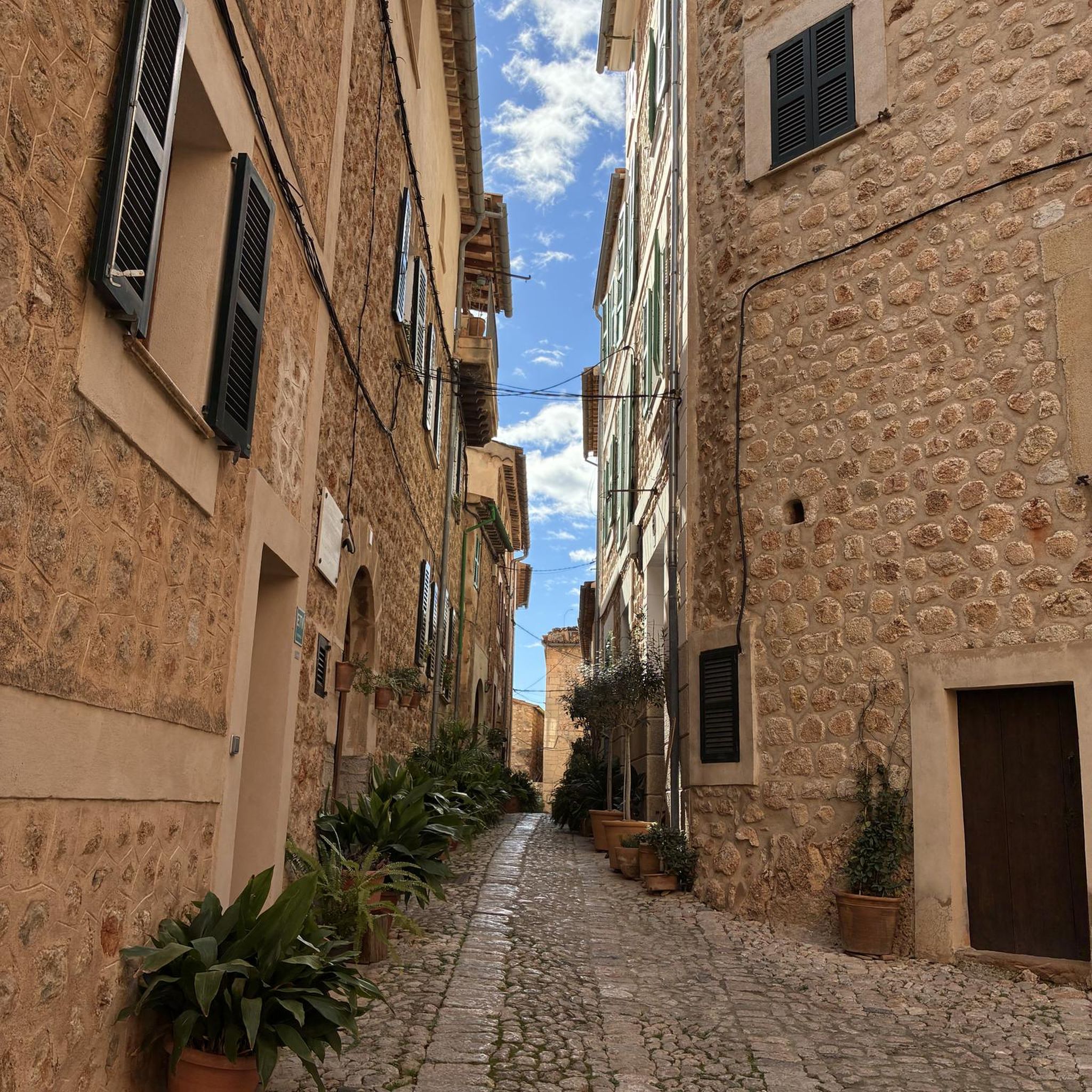
Running Trails around Hornsea Mere

Running Trails in Lower Derwent Valley National Nature Reserve
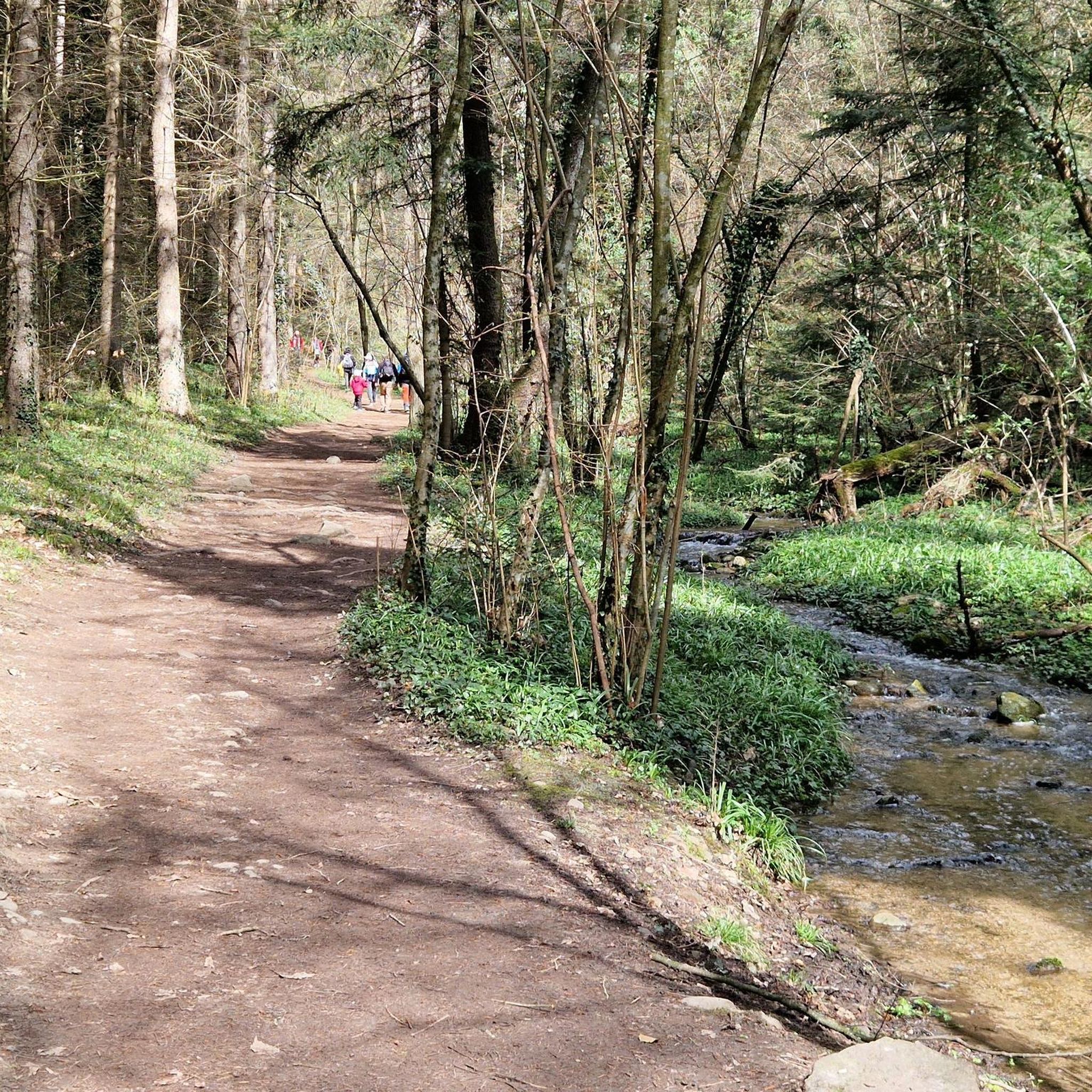
Running Trails in Spurn National Nature Reserve
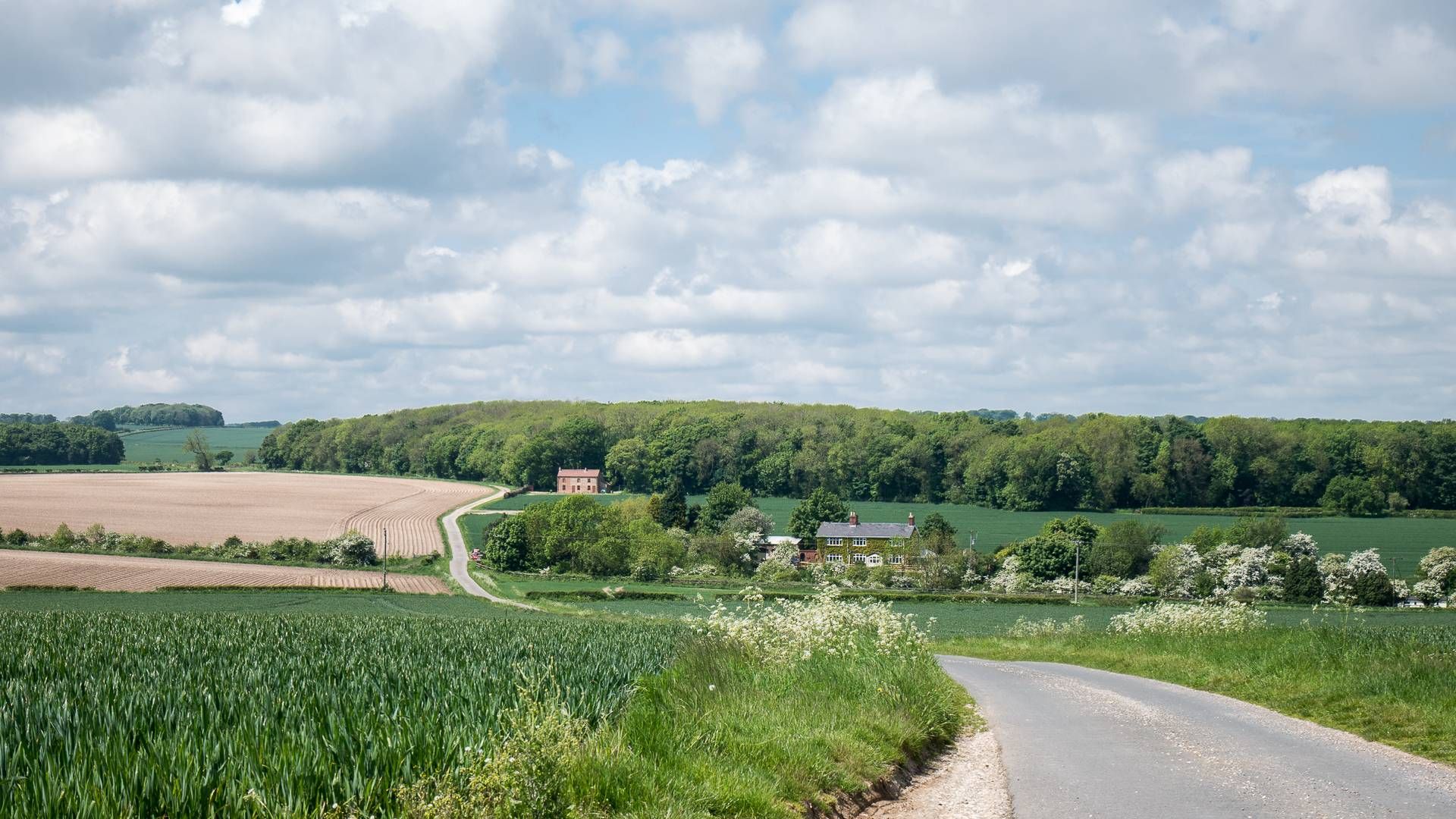
Yorkshire Wolds Cycleway – Open skies & relaxed rural life
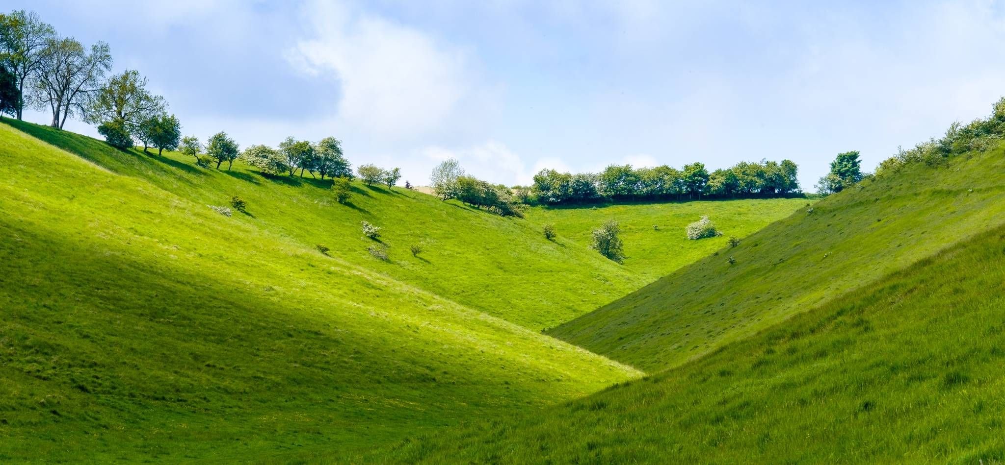
Yorkshire Wolds Way – Discover the serenity and beauty
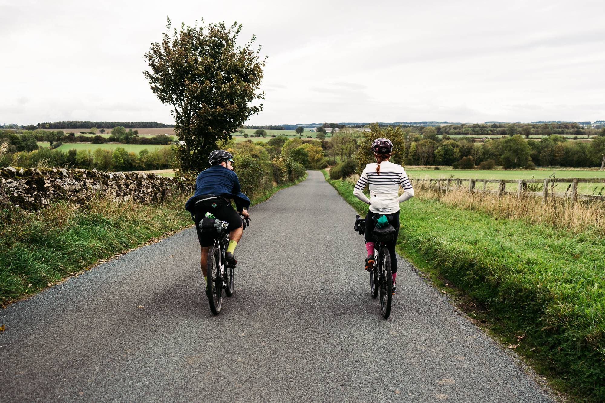
Cycle the Way of the Roses – Historic cities to rolling hills
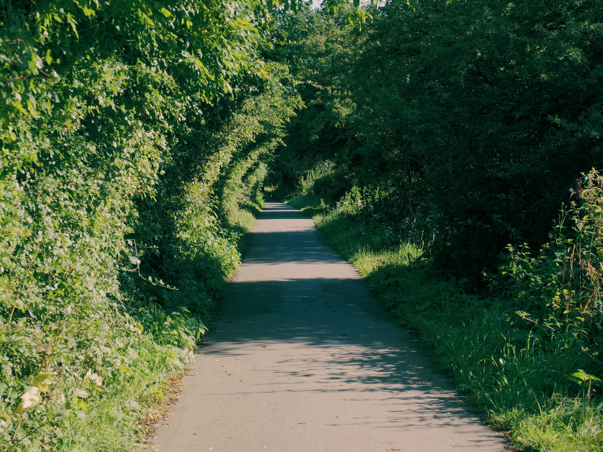
Trans Pennine Trail – the UK's most iconic coast to coast in 7 days
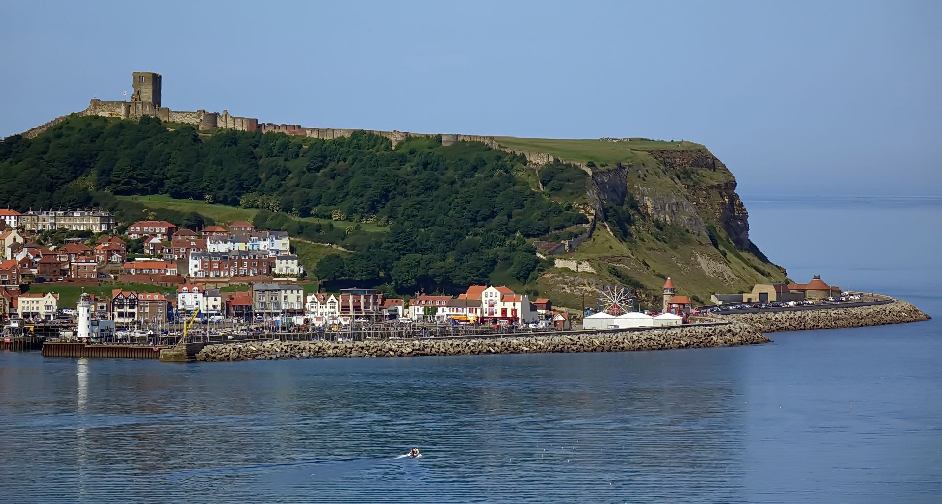
The North Sea Coast Cycle Route — England
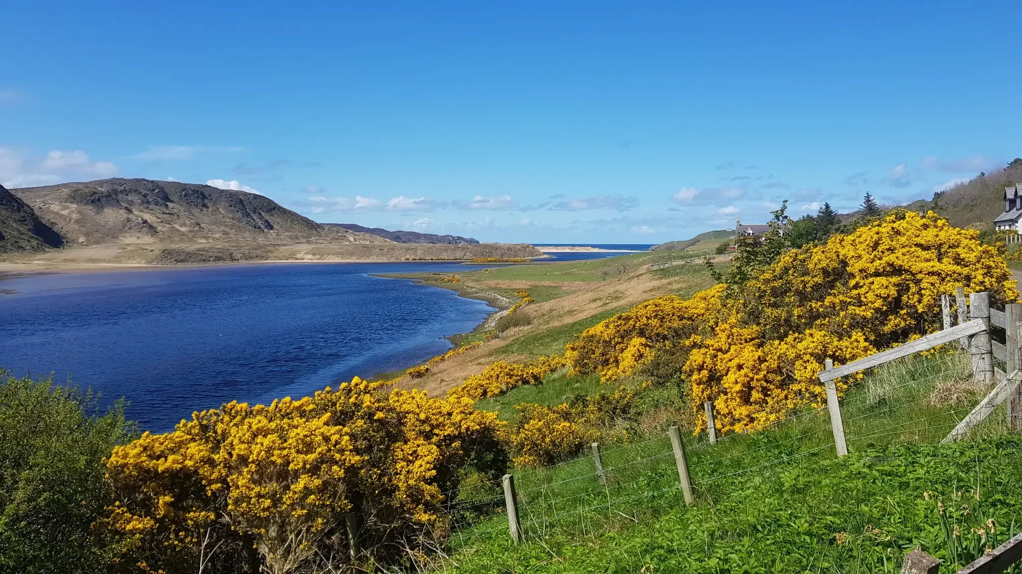
A fantastic journey along Britain’s entire East Coast – NCN 1
Wolds, waterways & a tribute to a hero – Wilberforce Way
Other adventures in East Riding of Yorkshire


Tips from the Community

Lots of parking, very quiet in winter, and cracking routes along the south and north of Flamborough Head. Take the north route past North Landing and Thornwick Bay, much more scenic than the southerly route.
2
0
If you can, walk the entire section between the lighthouse and Bempton Cliffs, there are many and varied little bays and rock formations. Footpath muddy in winter, but not terribly boggy. Cracking views and photo opportunities.
3
0


Marker board signifying Bridlington end (or start) of the Way of the Roses route.
0
0

A few good places to eat here. BUT watch the seagulls. There's also a speedboat and pirate ship which leaves at regular intervals.
3
0

The monument is the former Flamborough Head lighthouse and includes an octagonal tower constructed of coursed chalk rubble with stone dressings. It was built in 1674 as a business venture by Sir John Clayton, but never used.
1
0
Frequently Asked Questions
How many running routes are available in East Riding of Yorkshire?
East Riding of Yorkshire offers a wide selection of running routes, with over 1300 trails available on komoot. These range from easy jogs to more challenging long-distance runs, catering to various fitness levels.
What kind of terrain can I expect when running in East Riding of Yorkshire?
The region boasts diverse terrain for runners. You can find dramatic coastal paths with clifftop views around areas like Flamborough Head and Bempton Cliffs, rolling hills and dry chalk valleys in the Yorkshire Wolds, and flatter, more tranquil countryside routes in the Vale of York. Dedicated nature reserves and accessible promenades also offer varied surfaces.
Are there running routes suitable for beginners or those looking for an easy jog?
Yes, East Riding of Yorkshire has over 150 easy running routes. For instance, the promenades in Bridlington and Hornsea offer flat, accessible surfaces ideal for a relaxed jog. The Vale of York also provides generally flatter landscapes with quiet country lanes, perfect for less challenging runs.
What do other runners say about the jogging trails in East Riding of Yorkshire?
The running routes in East Riding of Yorkshire are highly rated by the komoot community, with an average score of 4.5 stars from over 120 reviews. Runners often praise the stunning coastal scenery, the peaceful countryside, and the variety of trails available for different abilities.
Are there any scenic coastal running paths in East Riding of Yorkshire?
Absolutely. The East Yorkshire coastline provides invigorating sea views. You can explore routes around Flamborough Coastal Circuit, offering dramatic clifftop vistas and trails to the iconic Flamborough Lighthouse. Another option is the King Charles III England Coast Path: Bridlington to Flamborough Head, which provides extensive coastal running.
What natural landmarks or points of interest can I see along the running routes?
Many routes offer stunning natural landmarks. For example, runs around Flamborough Head will take you past the Flamborough Lighthouse and dramatic Flamborough Cliffs. The Bempton cliffs & Flamborough Head loop from Bempton offers views of the impressive RSPB Bempton Cliffs Nature Reserve, known for its seabirds. You might also encounter the Smugglers' Caves at Thornwick Bay.
Can I find routes that take me through the rolling hills of the Yorkshire Wolds?
Yes, the Yorkshire Wolds are a prime area for running, characterized by rolling hills and dry chalk valleys. While specific routes are not listed in this guide, the region research indicates that trails like the Yorkshire Wolds Way are popular for varied terrain and picturesque scenery, offering a different experience from the coast.
Are there any routes that pass through nature reserves?
East Riding of Yorkshire features numerous Local Nature Reserves (LNRs) that are great for jogging. The South Beverley loop via Keldmarsh Nature Reserve is one such example. Other notable LNRs in the region include Danes Dyke, Humber Bridge Country Park, Millington Wood, and North Cave Wetlands, which offer diverse natural settings for your run.
Are there any dog-friendly running trails in the region?
Many of East Riding of Yorkshire's countryside paths and nature reserves are dog-friendly, provided dogs are kept under control, especially around livestock or wildlife. It's always best to check local signage or specific route details for any restrictions, but generally, the extensive network of public rights of way welcomes responsible dog owners.
Are there any circular running routes available?
Yes, many of the routes in East Riding of Yorkshire are circular, allowing you to start and finish in the same location. Examples include the popular Beverley loop from Beverley Westwood to Beverley Minster and the Walkington Park loop from Beverley. Coastal circuits like the Dane's Dyke & Flamborough Head Lighthouse loop from Bridlington also offer fantastic circular options.
Where can I find long-distance running routes in East Riding of Yorkshire?
For longer runs, East Riding of Yorkshire offers several challenging options. The Dane's Dyke & Flamborough Head Lighthouse loop from Bridlington is a difficult 13.1-mile (21.2 km) path, while the Flamborough Coastal Circuit covers 10.7 miles (17.3 km). The King Charles III England Coast Path: Bridlington to Flamborough Head is also a significant distance at 13.7 miles (22.1 km).
Are there any running routes near towns or villages where I can stop for refreshments?
Yes, many routes pass through or near charming towns and villages. For example, the Beverley loop from Beverley Westwood to Beverley Minster takes you near Beverley, which has various options for refreshments. Similarly, routes around Bridlington, such as the Bridlington Golf Club & Harbour loop, offer opportunities to stop in the town.
What is the best time of year for running in East Riding of Yorkshire?
East Riding of Yorkshire is suitable for running year-round, but each season offers a different experience. Spring and summer provide longer daylight hours and generally milder weather, ideal for coastal runs and exploring the Wolds. Autumn brings beautiful foliage to woodlands like Millington Wood, while winter runs can be invigorating, especially along the coast, though conditions may be colder and windier.
Most popular routes in East Riding of Yorkshire
Most popular attractions in East Riding of Yorkshire

Get inspired with the komoot mobile app


Didn’t find what you were looking for?
Check out more Running Trails & Routes throughout East Riding of Yorkshire below and find the perfect route in your destination.
Explore more
Browse the best Running Trails & Routes in other regions.
