The 20 Most Amazing Peaks around Mérens-Les-Vals
Best mountain peaks around Mérens-Les-Vals are situated in the Ariège Pyrenees, offering a diverse range of landscapes. This village, located at approximately 1,100 meters altitude, serves as a base for exploring numerous summits. The surrounding area features varied terrain, including green forests, crystalline lakes, and panoramic ridges. It provides access to exceptional Pyrenean trails.
Best mountain peaks around Mérens-Les-Vals
- The most popular mountain peaks is Summit of Pic Carlit, a summit that offers wide panoramas over the valley and…
Last updated: August 17, 2026
Summit of Pic Carlit
Highlight • Summit
Translated by Google •
Tip by

Font del Travenc Bridge
Highlight • Bridge
Tour to the highlight: komoot.de/tour/340805299?ref=itd
Translated by Google •
Tip by

Sign up now to discover places like this
Get recommendations on the best single tracks, peaks, & plenty of other exciting outdoor places.
Sign up for free
Cabana Sorda Refuge
Highlight • Mountain Hut
Translated by Google •
Tip by

Cabane de Rouzet
Highlight • Mountain Hut
In 1983 …
Translated by Google •
Tip by
Portella de la Grava
Highlight • Mountain Pass
Translated by Google •
Tip by

Sign up for free to discover even more peaks around Mérens-Les-Vals.
Sign up for free
Already have an account?
Start today with a free account
Your next adventure awaits.
Login or Signup
Popular around Mérens-Les-Vals

The Crossing of the Pyrenees via the GR 10 — Eastern Pyrenees

Haute Route Pyrénéenne – Pyrenees Crossing

On wild ridges: Catalonia to Ariège – Hexatrek, Eastern Pyrenees
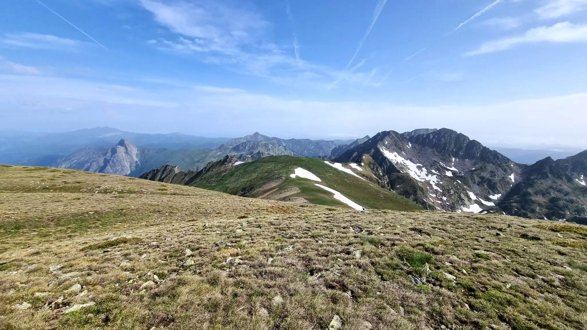
From refuge to refuge — Tour des Pérics
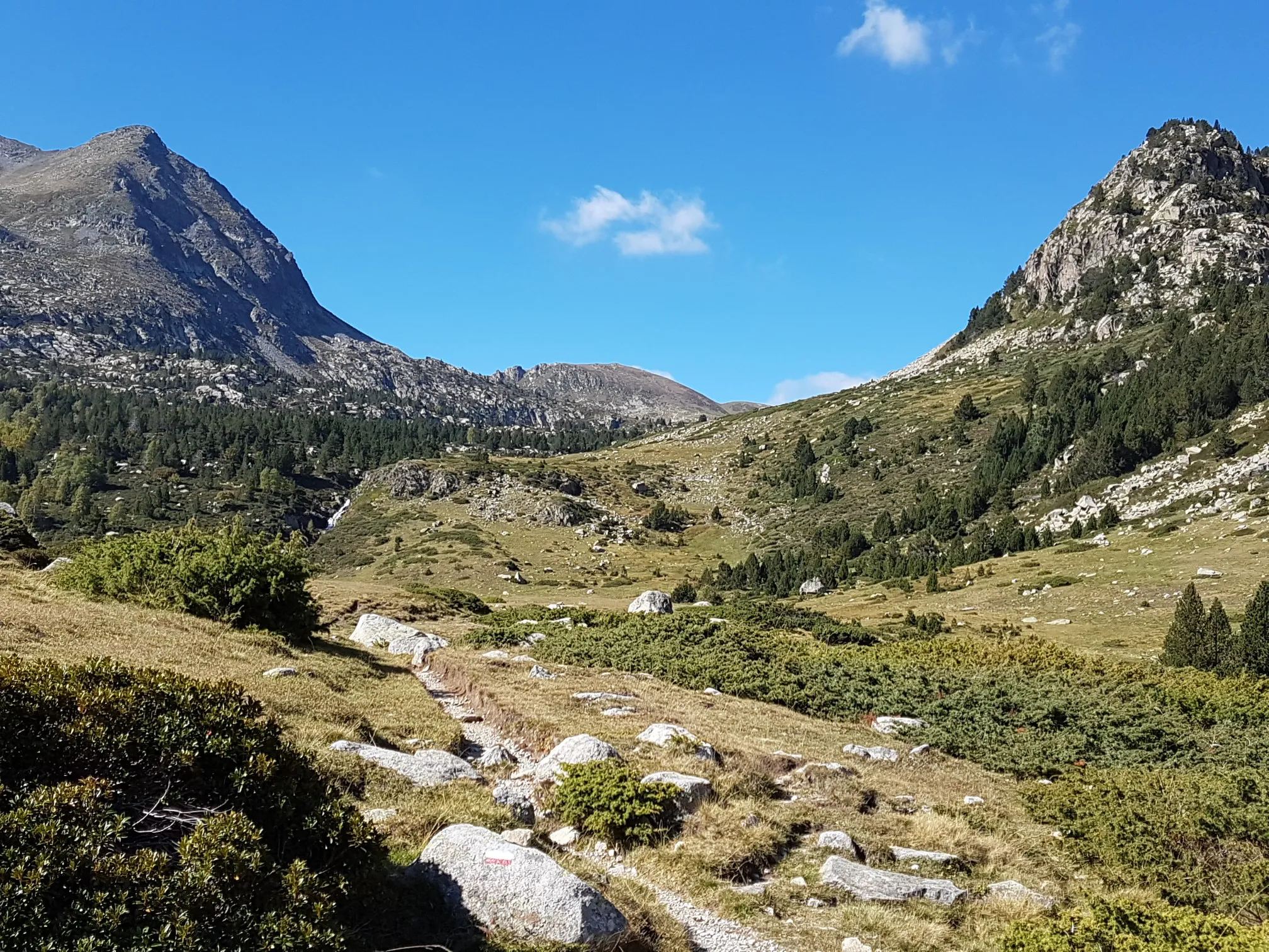
Le chemin des Bonshommes — In the footsteps of the Cathars
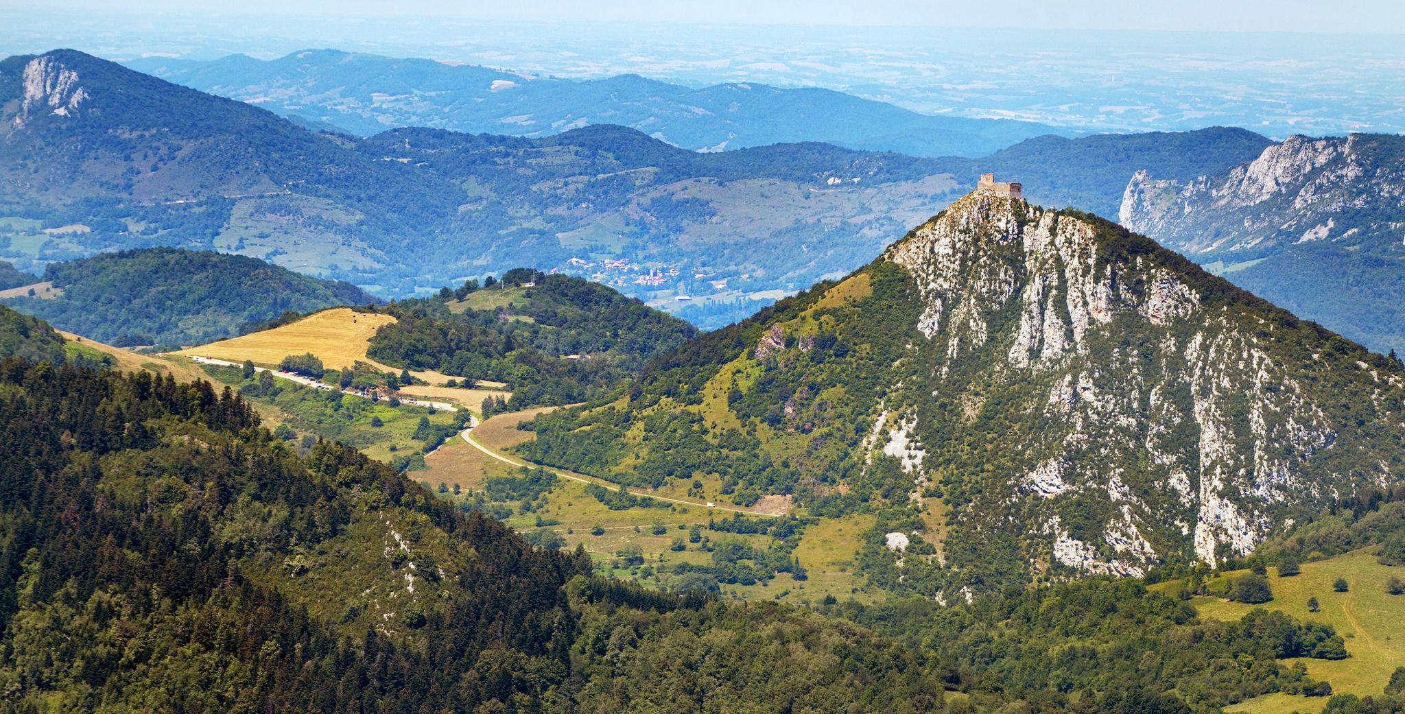
Cathar Route from Catalonia to France – Bons Homes Path (GR 107)
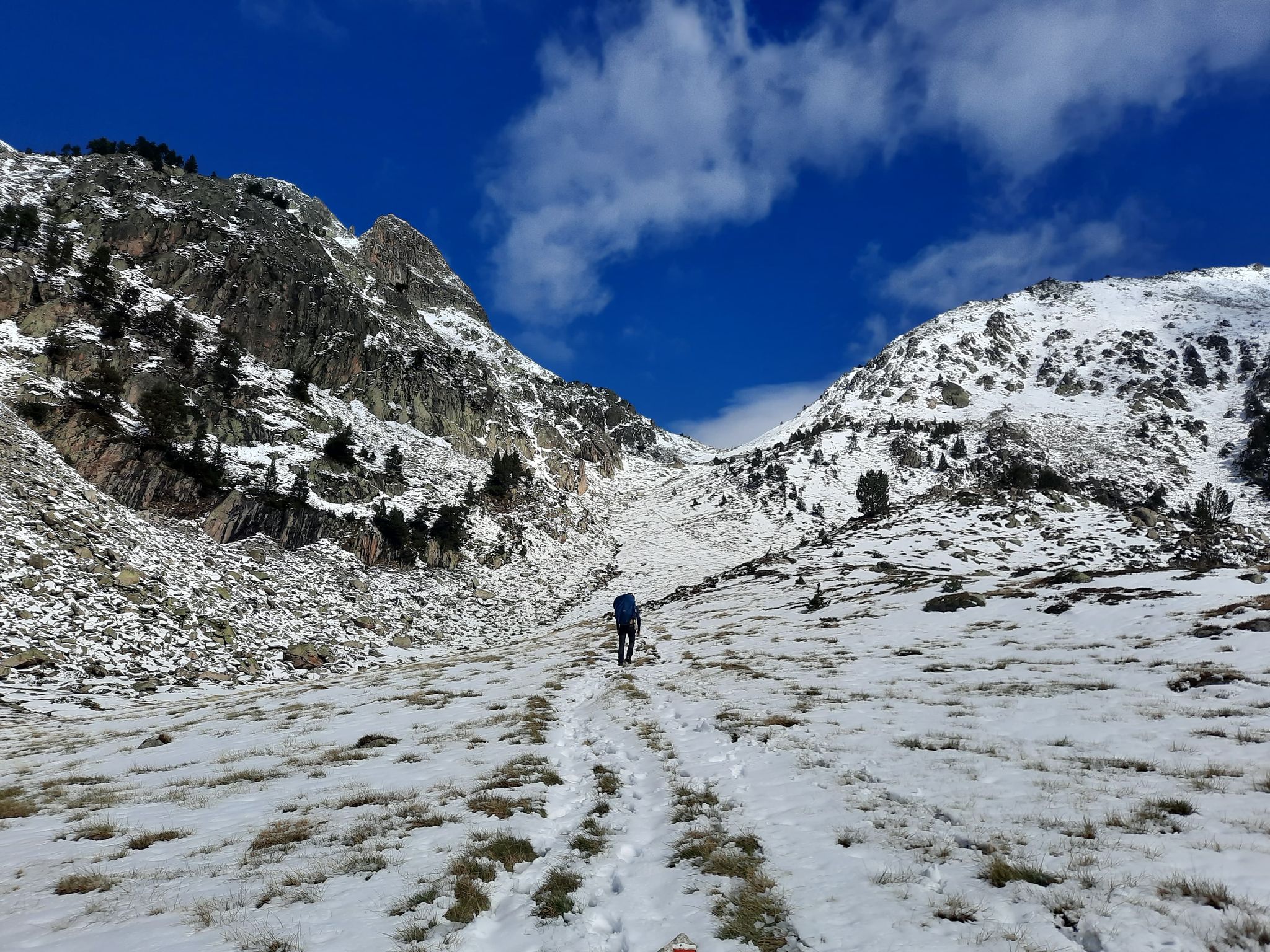
Between the Pyrenean peaks – GRP tour of the Montagnes d'Ax
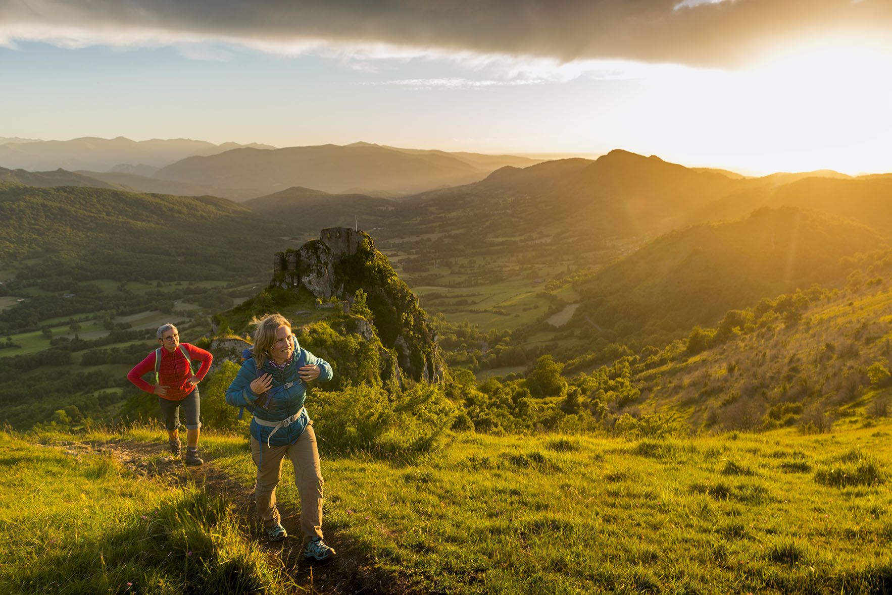
The chemin des Bonshommes — a journey between France and Spain
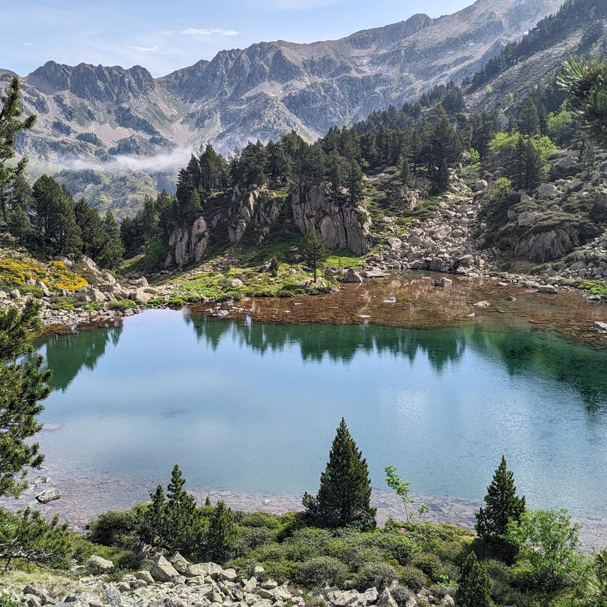
Hiking around Mérens-Les-Vals
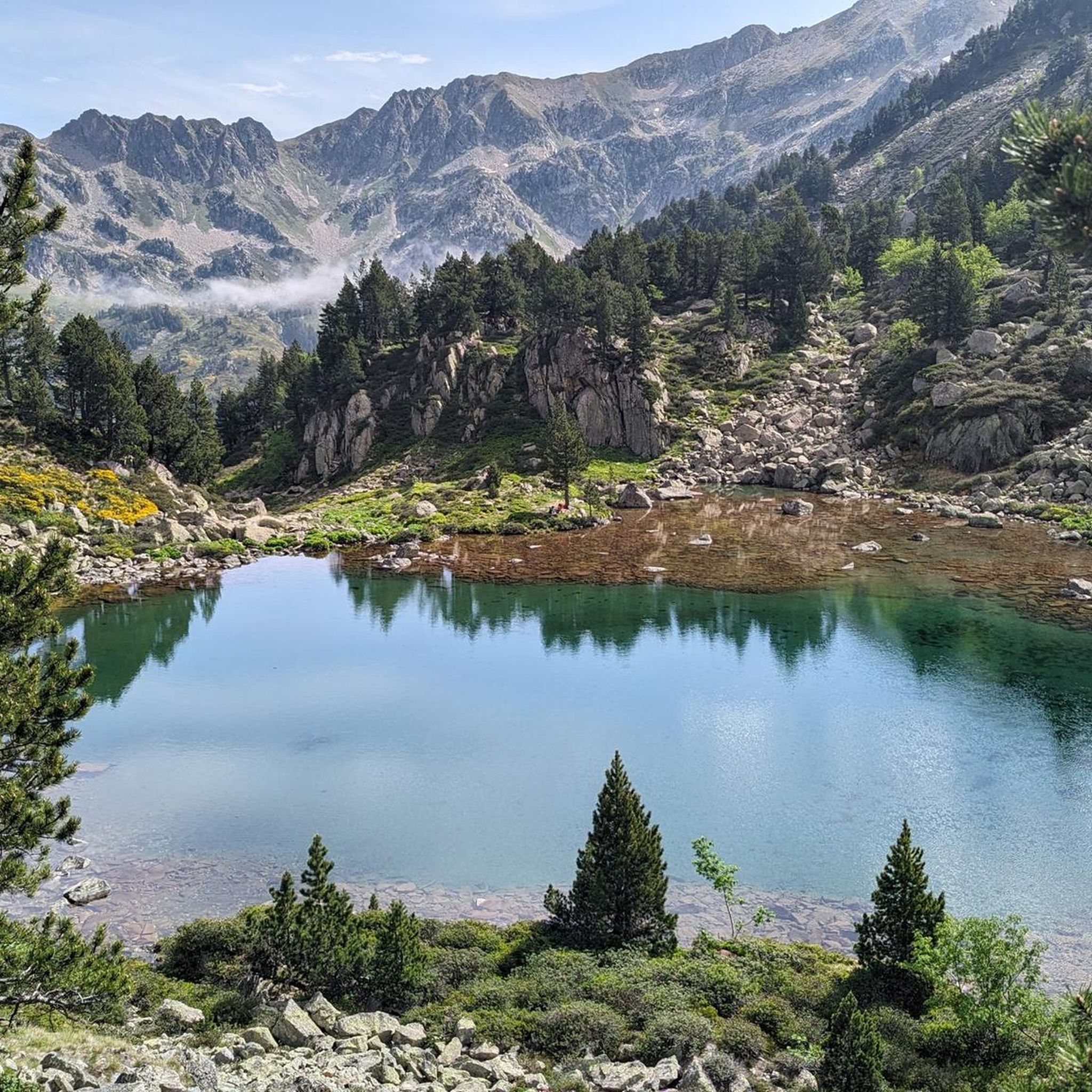
Road Cycling Routes around Mérens-Les-Vals
Other adventures around Mérens-Les-Vals


Tips from the Community

An old bridge, which among other things represents the turning point of the simple hiking trail.
1
0

There were nine of us: five Czechs, three French women, and just me. We had a great time together that evening. Pleasant hut, but you have to bring your sleeping bag and mat.
0
0


The Font del Travenc Bridge is one of the stops you can make if you are touring the area by mountain bike. The terrain is demanding, so it is more suitable for experienced cyclists. The routes in this area offer a mix of rocky paths, narrow trails and technical descents. It is associated with the Font del Travenc, a natural spring located in a high mountain environment, surrounded by spectacular landscapes.
0
0

Carlit Peak is part of the Capcir granite massif, which is dotted with 27 lakes and small lakes in the Occitanie region, northwest of Font-Romeu. Its summit is located at 2921 meters, allowing you to observe an immense panorama (from Canigó to the Central Pyrenees).
1
2

A small bridge over the confluence of the Juclar and d'Incles rivers. There is a small car park and picnic area before returning to the valley.
0
0
Relatively large mountain shelter, with capacity for 20 people, the stone cabin is located at 2290 meters above sea level near the Sorda pond.
0
0
A small bridge over the confluence of the Juclar and d'Incles rivers. There is a small parking lot and a picnic area that marks the beginning of the trail to explore the Juclar valley, the river and the high mountain ponds.
0
0
Frequently Asked Questions
Which mountain peaks offer the most expansive views around Mérens-Les-Vals?
For truly expansive views, Pic Carlit, the highest peak in the Eastern Pyrenees at 2,921 meters, offers wide panoramas over the valley and its numerous lakes. Puig de Coma d'Or also provides a splendid 360-degree panorama of the Catalan, Ariège, and Andorran Pyrenees, making the demanding hike worthwhile.
Are there any challenging mountain peaks for experienced hikers near Mérens-Les-Vals?
Yes, several peaks offer a significant challenge. Pic Carlit is known for its challenging ascent, with the last 150 meters being technical. Pic d'Auriol involves demanding routes with steep grassy slopes and potentially aerial ridges. Pic de Coma Pedrosa, the highest in Andorra, is also a challenging climb, often undertaken over two days.
What unique natural features can I expect to see on mountain hikes in this region?
The region is rich in natural beauty. You'll encounter numerous crystalline lakes, especially around Pic Carlit, which is dotted with 27 lakes. The ascent to Pic de Coma Pedrosa passes through varied terrain including pine forests, rhododendrons, high pastures, rocky ridges, and alongside lakes, waterfalls, and torrents. The distinctive, craggy shape of Dent d'Orlu is also a notable geological formation.
Are there any mountain peaks known for climbing opportunities?
Yes, Dent d'Orlu is particularly renowned as a climbing area. Its distinctive, steep, and craggy shape makes it a popular spot with numerous routes on its south and southeast faces. While primarily for climbers, skilled hikers can also reach its summit via a 'normal' route on its north face.
What is the best time of year to hike the mountain peaks around Mérens-Les-Vals?
Spring and autumn are often recommended for their beauty and more moderate temperatures. For instance, Pic de Coma Pedrosa is particularly beautiful in spring or autumn. However, always check local weather conditions, as some routes, like Pic d'Auriol, should only be attempted in dry weather due to steep grassy slopes.
Are there any family-friendly spots or easy access points in the mountains near Mérens-Les-Vals?
While many peaks are challenging, the area does offer more accessible spots. The Font del Travenc Bridge is described as a secluded, romantic picnic area in an unspoilt mountain landscape, and is noted as family-friendly. Mérens-les-Vals itself, situated at 1,100 meters, serves as a gateway to various trails, some of which are less strenuous.
Where can I find overnight accommodation or refuges in the mountains?
You can find several huts and refuges. The Cabana Sorda Refuge is a modern, unattended hut that can accommodate up to 12 people, equipped with an oven and an outdoor grill. The Cabane de Rouzet is another small cabin located near the Etang de Lanoux, accessible when not in use by shepherds. For longer treks, the Coma Pedrosa refuge is a common stop for those undertaking the two-day ascent of Pic de Coma Pedrosa.
What other outdoor activities can I do near the mountain peaks around Mérens-Les-Vals?
Beyond peak bagging, the region offers a variety of outdoor activities. You can explore numerous hiking trails, including routes to Comte Pond or the Bésines Refuge. For cyclists, there are road cycling routes like the challenging Ax-les-Thermes – Plateau de Beille loop. Additionally, you can find running trails, such as the Rulhe Refuge loop.
Are there any mountain passes that offer great viewpoints?
Yes, the Portella de la Grava, a pass at 2,426 meters, offers breathtaking views and serves as an iconic passage between the northern and southern slopes of the Pyrenees. Its steep path and exceptional panoramas make it a popular spot for adventurers.
What do visitors enjoy most about the mountain peaks around Mérens-Les-Vals?
Visitors frequently highlight the exceptional natural environment and the wide-ranging panoramas from the summits. The challenge of the ascents, particularly for peaks like Pic Carlit, is also a major draw. The unspoilt mountain landscapes, serene lakes, and the feeling of being 'very small in the midst of this immensity' are often mentioned as deeply rewarding aspects of the experience.
What should I know about the terrain and difficulty of trails to these peaks?
The terrain varies significantly. You can expect everything from green forests and high pastures to rocky ridges and steep, sometimes technical, sections. Peaks like Pic d'Auriol have demanding routes with steep grassy slopes, while the final 200 meters of Dent d'Orlu's 'normal' route are very steep. Many ascents involve significant elevation gain, so a good level of fitness is often required.
Is it possible to hike to the highest peak in Andorra from the Mérens-Les-Vals area?
Yes, Pic de Coma Pedrosa, which is the highest mountain in Andorra at 2,942 meters, is accessible from the Mérens-les-Vals area. Routes often start from places like L'Hospitalet-près-l'Andorre. It's a challenging climb, typically undertaken over two days, and offers magnificent panoramas from its summit.
Most popular routes around Mérens-Les-Vals
Most popular attractions around Mérens-Les-Vals

Get inspired with the komoot mobile app


Explore more
See even more amazing summits around Mérens-Les-Vals with these guides:
