The best walks and hikes around Mérens-Les-Vals
4.5
(476)
3,656
hikers
26
hikes
Hiking around Mérens-Les-Vals offers access to diverse landscapes within the French Pyrenees, situated at an altitude of approximately 1140 meters. The region features mountainous terrain, including numerous alpine lakes such as Comte Pond and Bésines Pond. Trails wind through dense forests and along clear rivers, providing varied environments for outdoor activity. This area serves as a gateway to both local circuits and sections of long-distance trails like the GR10 and GR107.
Best hiking trails in Mérens-Les-Vals
- The most popular hiking route is Comte Pond – Comte Lake loop from Cascade des Escaliers, a 3.6 miles (5.7 km) trail that takes 2 hours 23 minutes to complete, leading to a picturesque alpine lake.
- Another top favourite among local hikers is Comte Lake – Comte Pond loop from Mérens-les-Vals, a difficult 8.5 miles (13.7 km) path. This route explores the higher elevations around Comte Lake and Pond, offering expansive views.
- Local hikers also love the Mérens-les-Vals loop from Mérens-les-Vals, a 2.5 miles (4.0 km) trail leading through the immediate surroundings of the village, often completed in about 1 hour 34 minutes.
- Hiking around Mérens-Les-Vals is defined by Pyrenean mountains, alpine lakes, and dense forests. The network offers options for various ability levels, from moderate village loops to challenging mountain ascents.
- The routes in Mérens-Les-Vals are highly rated by the komoot community with an average score of 4.5 stars from over 360 reviews. More than 2,900 hikers have used komoot to explore Mérens-Les-Vals's varied terrain.
Last updated: August 18, 2026
4.7
(59)
488
hikers
5.95km
02:26
280m
280m
Moderate hike. Good fitness required. Mostly accessible paths. Sure-footedness required.
4.7
(42)
174
hikers
13.9km
05:17
670m
670m
Hard hike. Very good fitness required. Mostly accessible paths. Sure-footedness required.

Sign up for free
4.7
(46)
380
hikers
Moderate hike. Good fitness required. Mostly accessible paths. Sure-footedness required.
4.7
(16)
73
hikers
4.06km
01:35
220m
220m
Moderate hike. Great for any fitness level. Mostly accessible paths. Sure-footedness required.
4.6
(10)
74
hikers
25.9km
10:02
1,310m
1,310m
Hard hike. Very good fitness required. Mostly accessible paths. Sure-footedness required.
Get access to more routes and recommendations from other explorers.
Sign up for free
Already have an account?
Our route recommendations are based on thousands of hikes, rides, and runs completed by other people on komoot.
Start today with a free account
Your next adventure awaits.
Login or Signup
Popular around Mérens-Les-Vals

The Crossing of the Pyrenees via the GR 10 — Eastern Pyrenees

Haute Route Pyrénéenne – Pyrenees Crossing

On wild ridges: Catalonia to Ariège – Hexatrek, Eastern Pyrenees
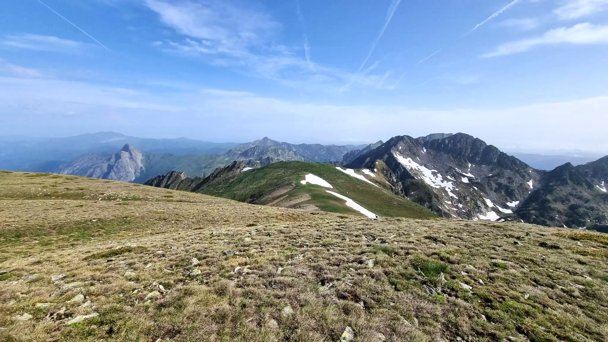
From refuge to refuge — Tour des Pérics
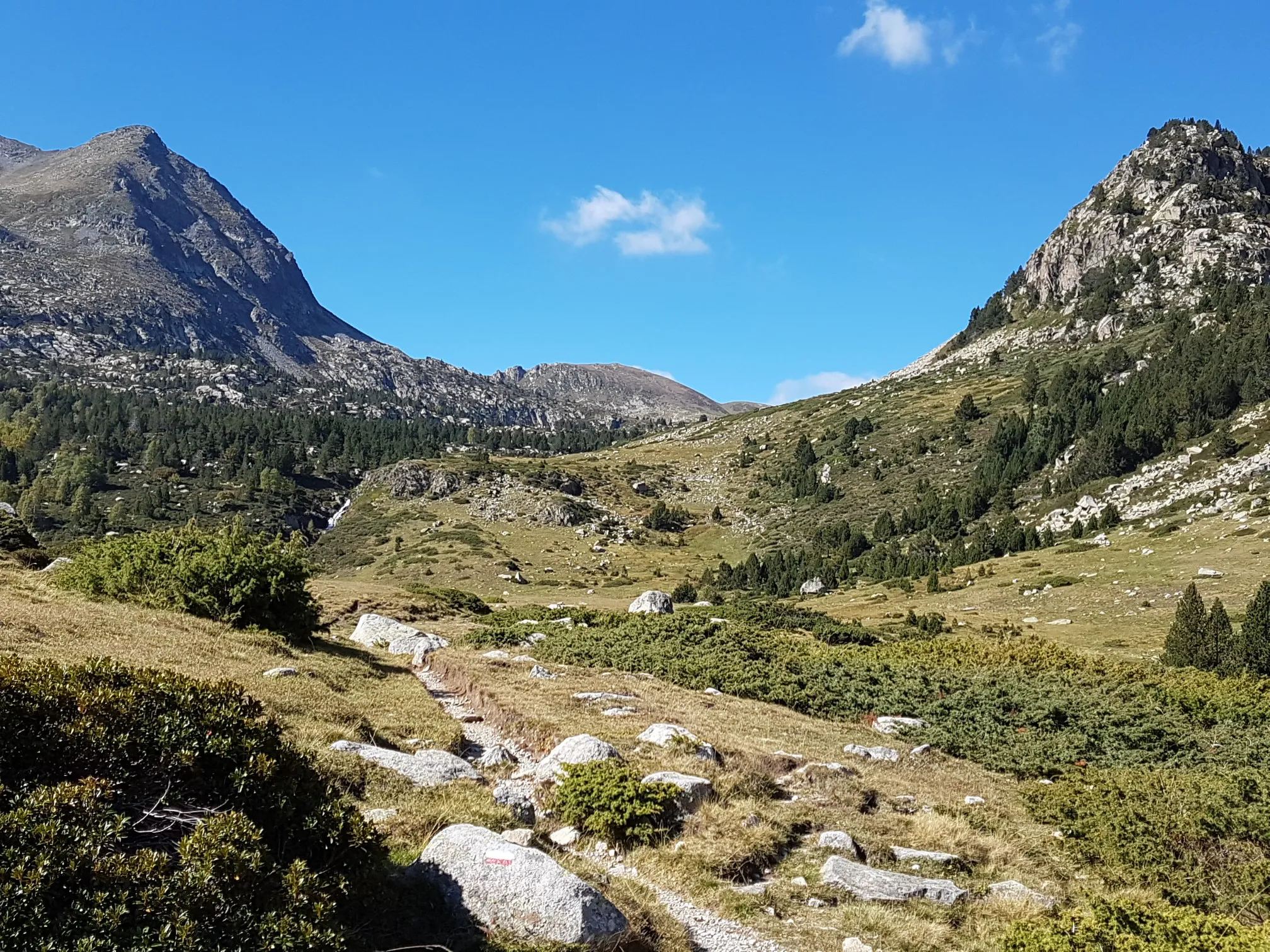
Le chemin des Bonshommes — In the footsteps of the Cathars
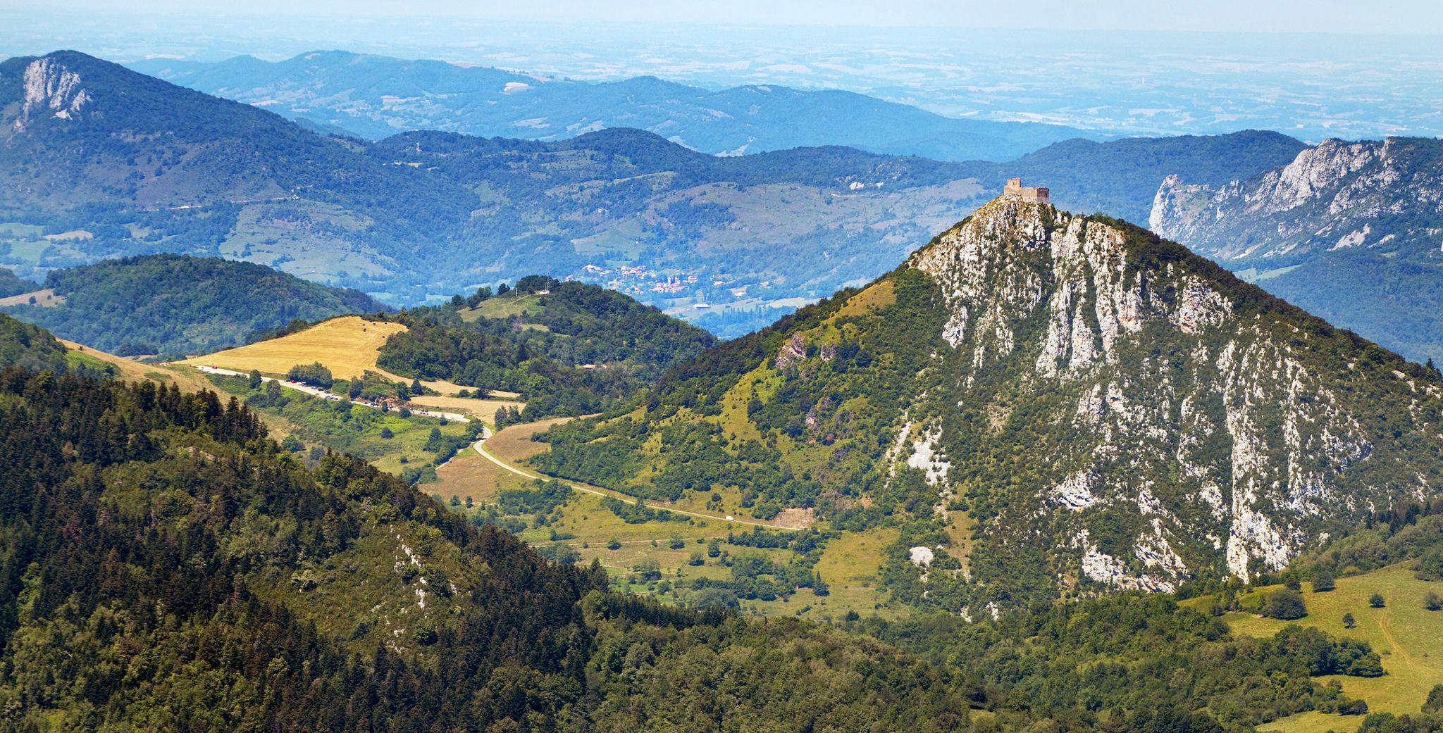
Cathar Route from Catalonia to France – Bons Homes Path (GR 107)
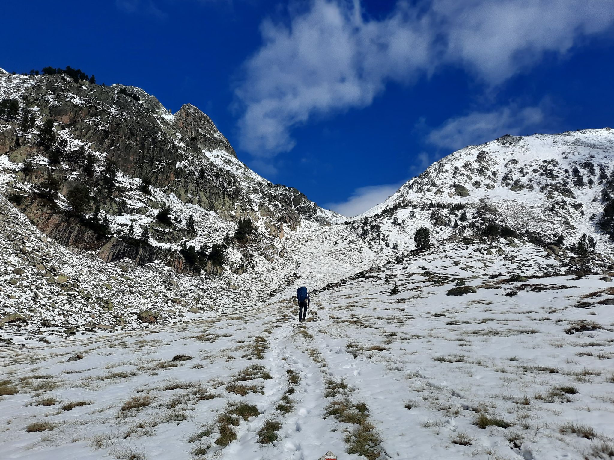
Between the Pyrenean peaks – GRP tour of the Montagnes d'Ax
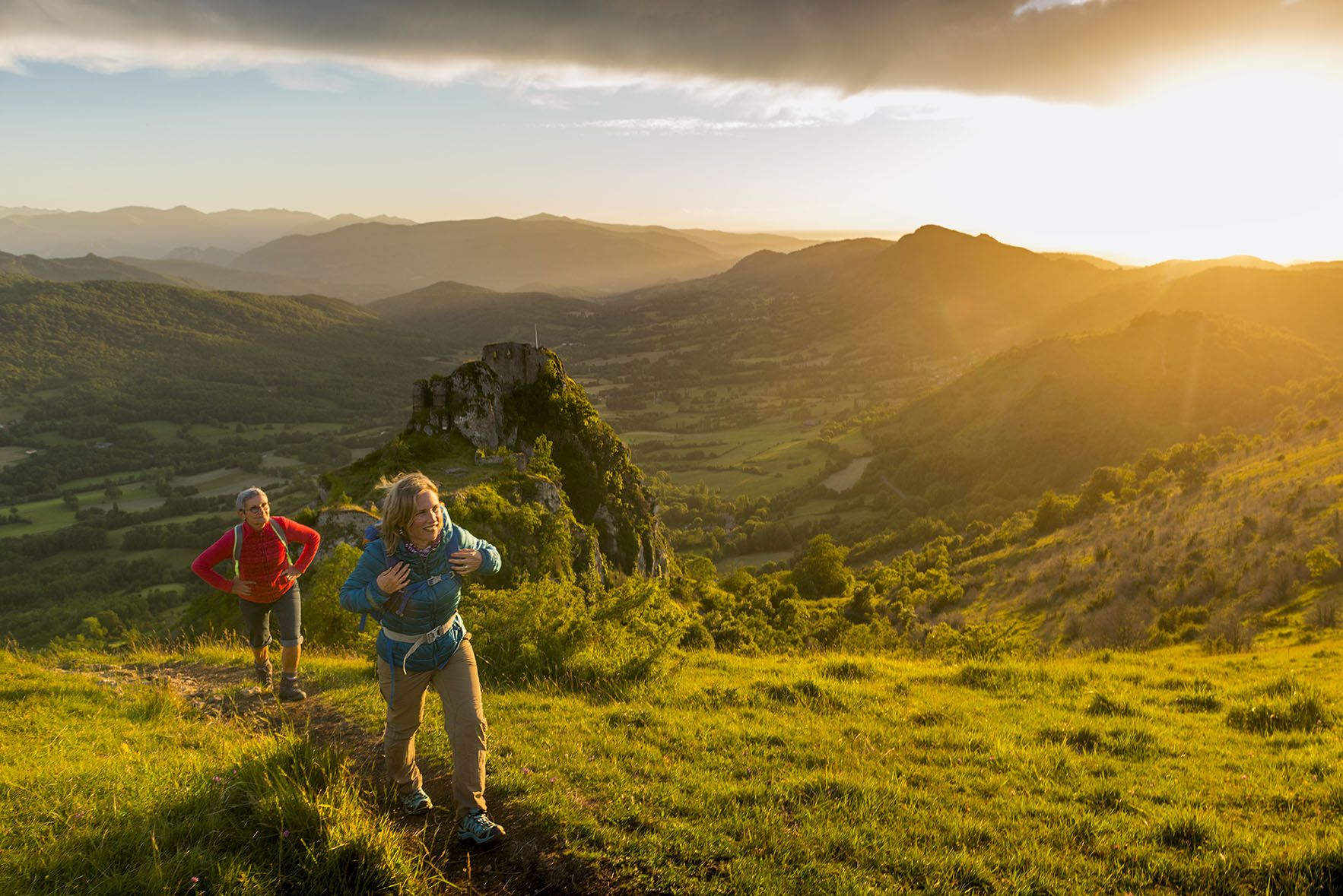
The chemin des Bonshommes — a journey between France and Spain
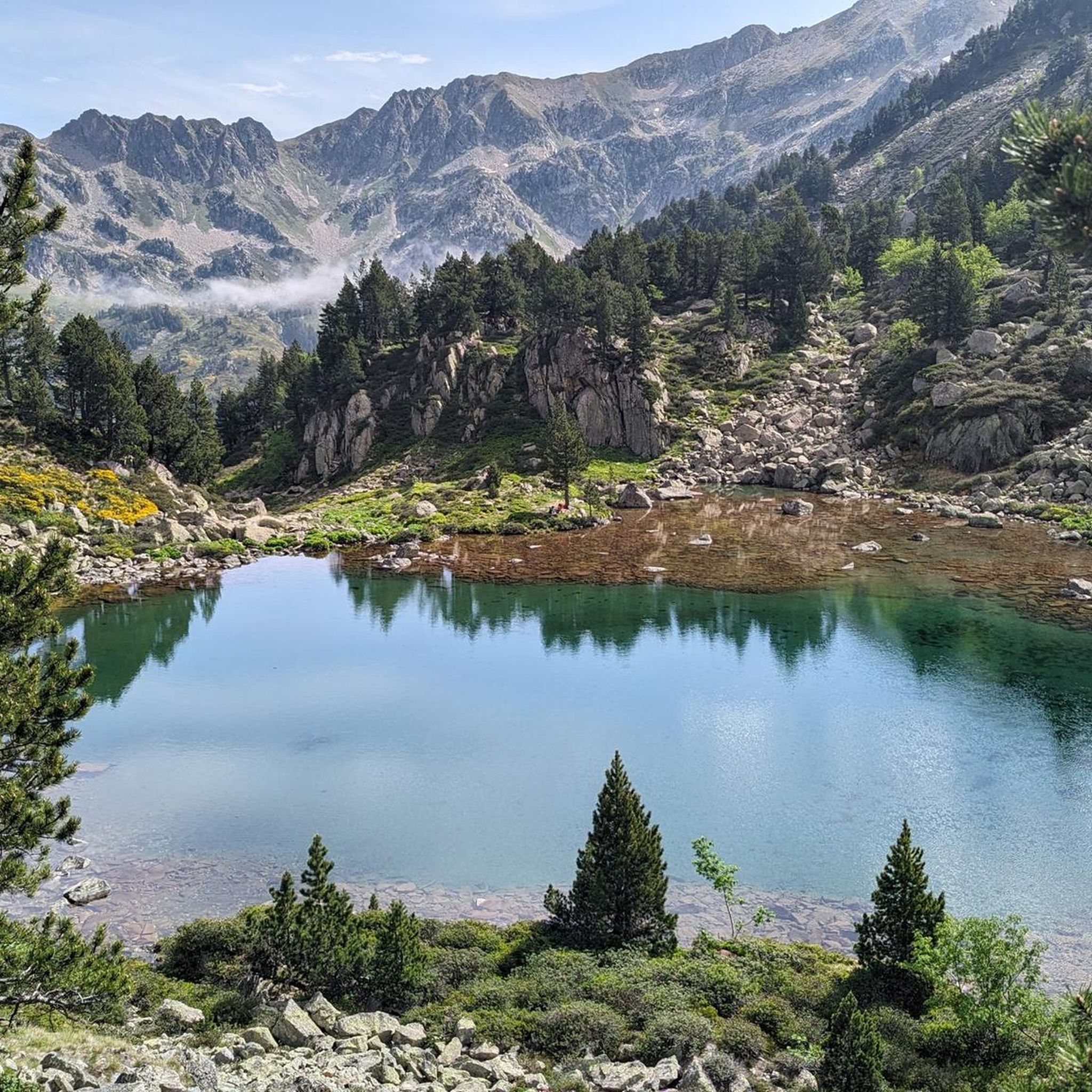
Road Cycling Routes around Mérens-Les-Vals
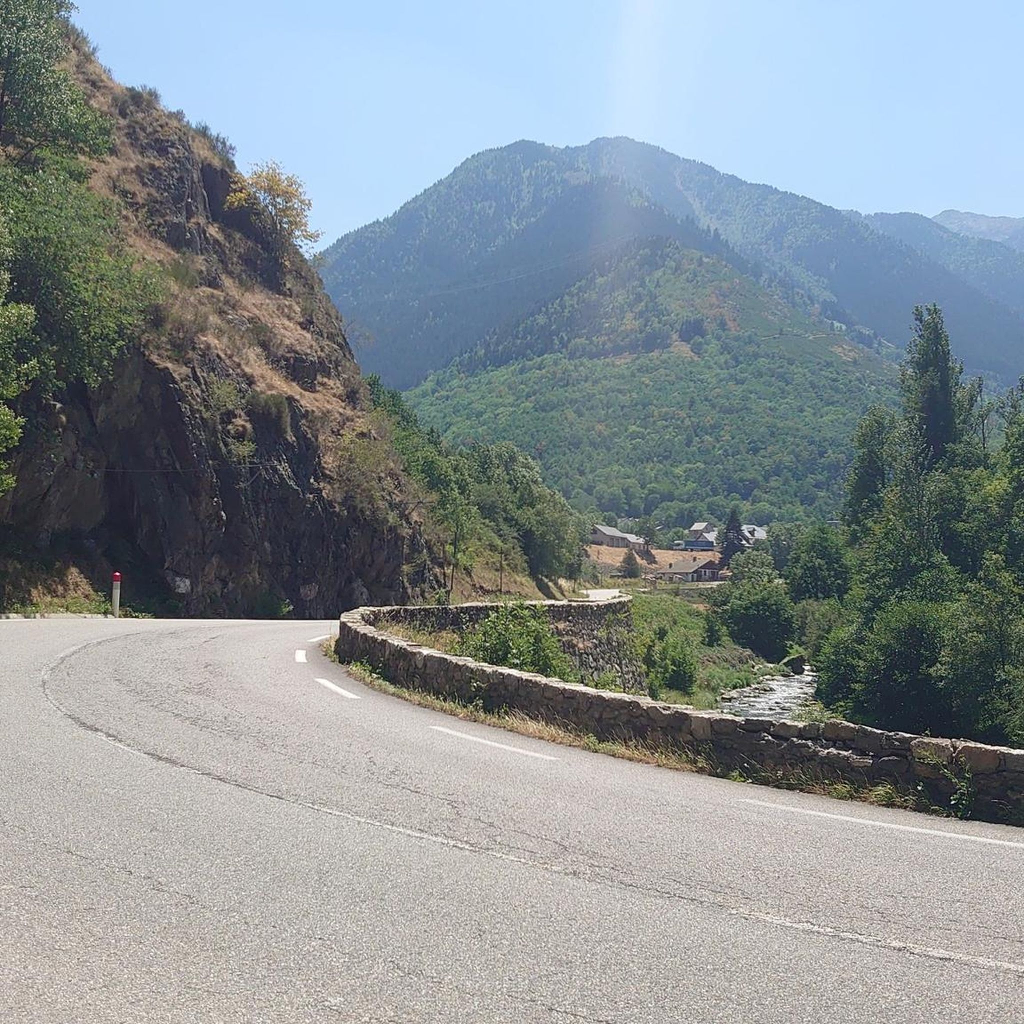
Cycling around Mérens-Les-Vals
Other adventures around Mérens-Les-Vals


Tips from the Community

Enjoy these incredible views towards the Pyrenees on a sunny day.
0
1
Let yourself be surprised by the waterfall you will find in front of the trail. Depending on the time of year, it carries more or less water.
0
1

Half of those present aren't following the rules! At the start of the climb, a sign clearly states that swimwear should be worn out of consideration (especially for children). Instead, a Frenchman presents himself completely naked. Some French women enjoy exposing their breasts. Everyone present is smugly sprawling, lying head-to-toe in the water without a single gesture of consideration for newly arrived visitors. A little further upstream from the spring, we encounter the third disappointment: Down in the village, several signs indicate a camping ban. A few meters above the spring, we found a camping tent in the forest (keyword: wild camping) and a prepared campfire site (as if there weren't enough forest fires in France by 2025). The behavior of some of the people is unacceptable.
2
4

Magnificent routes to explore in the region
0
0

Small town, important railway station
1
0

This clear, zigzagging section of the path offers a beautiful view of the surrounding countryside.
1
0

Magnificent pond in the hollow of the mountains, fed by the Mourguillou stream. Superb hike through the pastures in the jasse de Mourguillou.
2
0

Still some snowfields in May
1
0
Frequently Asked Questions
How many hiking trails are available around Mérens-Les-Vals?
Mérens-Les-Vals offers a wide variety of hiking experiences, with over 25 distinct routes available. These range from easy strolls to challenging mountain ascents, ensuring options for different fitness levels and preferences.
What is the overall hiking experience like in Mérens-Les-Vals?
Hikers consistently rate the trails in Mérens-Les-Vals highly, with an average score of 4.5 stars from over 360 reviews on komoot. Users frequently praise the diverse landscapes, from dense forests to alpine lakes, and the stunning views of the Pyrenees.
What are the typical difficulty levels for hikes in this region?
The trails around Mérens-Les-Vals cater to a range of abilities. You'll find 1 easy route, 15 moderate routes, and 9 difficult routes. This variety allows hikers to choose paths that suit their experience, from gentle village loops to more demanding high-altitude treks.
When is the best time of year to go hiking in Mérens-Les-Vals?
The best time for hiking in Mérens-Les-Vals is generally from late spring to early autumn (May to October), when the weather is mild and the mountain passes are clear of snow. Summer offers lush landscapes and access to higher elevations, while autumn provides vibrant foliage. Winter hiking is possible, but requires appropriate gear and experience due to snow and colder conditions.
Are there any hikes that feature waterfalls near Mérens-Les-Vals?
Yes, the region boasts several beautiful waterfalls. You can explore trails that lead to the Meners Waterfalls or the Manegor River Waterfalls. The Steep ascent along the Juclar waterfall is also a notable highlight for those seeking dramatic cascades.
Can I find trails that lead to scenic lakes or ponds?
Absolutely. The area is renowned for its picturesque alpine lakes. Popular options include the family-friendly Comte Pond, Bésines Pond, and the larger Bouillouses Lake. A great route to experience this is the Comte Pond – Comte Lake loop from Cascade des Escaliers, which takes you to a beautiful alpine lake.
What kind of natural landmarks or viewpoints can I expect to see on the trails?
Mérens-Les-Vals offers stunning Pyrenean vistas. Many trails provide panoramic views of the Catalan, Ariège, and Andorran Pyrenees. You might encounter distinctive peaks like the Dent d'Orlu or cross mountain passes such as the Col de Joux. The Mérens-les-Vals – Joux Pass loop from Mérens-les-Vals is an excellent choice for expansive views.
Are there any unique natural attractions to visit after a hike?
Yes, Mérens-Les-Vals is famous for its natural sulphur hot springs. After a day on the trails, you can relax in these open-air, naturally heated basins, which offer a tranquil and undeveloped spa experience amidst nature.
Are there family-friendly hiking options in Mérens-Les-Vals?
Yes, there are several options suitable for families. The area around Comte Pond is often cited as family-friendly, offering accessible paths and beautiful scenery. Always check the difficulty and length of a route to ensure it matches your family's capabilities.
Are there any circular hiking routes available?
Yes, many of the trails around Mérens-Les-Vals are designed as circular routes, allowing you to start and end in the same location. Examples include the Mérens-les-Vals loop from Mérens-les-Vals, which explores the village surroundings, and the more challenging Comte Lake – Comte Pond loop from Mérens-les-Vals.
Is it possible to bring dogs on the hiking trails?
While many trails in the Pyrenees are dog-friendly, it's important to be aware of local regulations, especially in protected natural areas or near grazing livestock. Always keep dogs on a leash where required and ensure they are well-behaved around wildlife and other hikers. Check specific trail rules before you go.
Are there options for long-distance or multi-day treks?
Mérens-Les-Vals is a significant hub for long-distance hikers. It lies on the legendary GR10, which traverses the Pyrenees, and the GR107 (Path of the Good People). You can also access sections of the HexaTrek or embark on multi-day treks like the Tour des Pérics and Tour des Montagnes d'Ax, often involving stays in mountain refuges.
Where can I park when visiting hiking trailheads in Mérens-Les-Vals?
Parking is generally available in and around Mérens-Les-Vals, particularly near popular trailheads or the village center. Specific parking information for individual routes can often be found in the tour descriptions on komoot. It's advisable to arrive early during peak season to secure a spot.
Most popular routes around Mérens-Les-Vals
Most popular attractions around Mérens-Les-Vals

Get inspired with the komoot mobile app


Explore more
Browse the best Hikes in other regions.
