The best running trails around Mérens-Les-Vals
4.3
(36)
3,511
runners
163
runs
Jogging around Mérens-Les-Vals offers diverse terrain within the Ariège Pyrenees. The region is characterized by green valleys, steep peaks, and serene alpine lakes, with the village itself situated at an altitude of around 1,100 meters. Dense forests alongside clear rivers provide refreshing and shaded paths, while surrounding peaks reach nearly 2,840 meters, offering varied elevation gains for runners. This area is part of the Regional Natural Park of the Ariège Pyrenees, preserving its diverse ecosystems.
Best jogging routes around Mérens-Les-Vals
…Last updated: July 4, 2026
61
runners
12.3km
01:54
650m
650m
Hard run. Very good fitness required. Mostly paved surfaces. Suitable for all skill levels.
29
runners
12.7km
01:56
570m
570m
Hard run. Very good fitness required. Sure-footedness, sturdy shoes and alpine experience required.

Sign up for free
13
runners
8.68km
01:23
550m
550m
Hard run. Very good fitness required. Mostly paved surfaces. Suitable for all skill levels.
16
runners
12.8km
02:10
660m
660m
Hard run. Very good fitness required. Sure-footedness, sturdy shoes and alpine experience required.
9
runners
27.9km
04:31
1,390m
1,390m
Hard run. Very good fitness required. Sure-footedness, sturdy shoes and alpine experience required.
Get access to more routes and recommendations from other explorers.
Sign up for free
Already have an account?
Our route recommendations are based on thousands of hikes, rides, and runs completed by other people on komoot.
Start today with a free account
Your next adventure awaits.
Login or Signup
Popular around Mérens-Les-Vals

The Crossing of the Pyrenees via the GR 10 — Eastern Pyrenees

Haute Route Pyrénéenne – Pyrenees Crossing

On wild ridges: Catalonia to Ariège – Hexatrek, Eastern Pyrenees
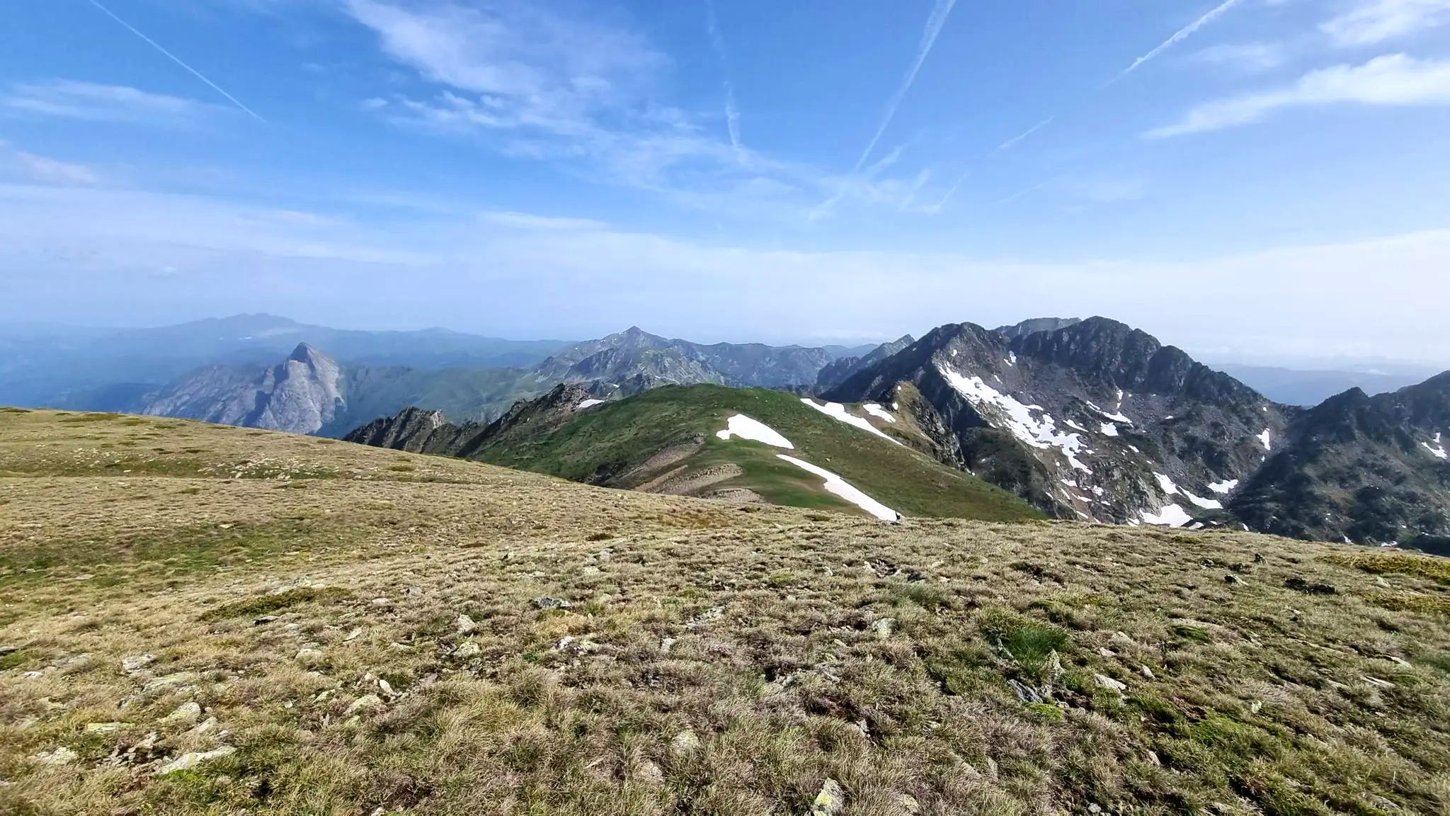
From refuge to refuge — Tour des Pérics
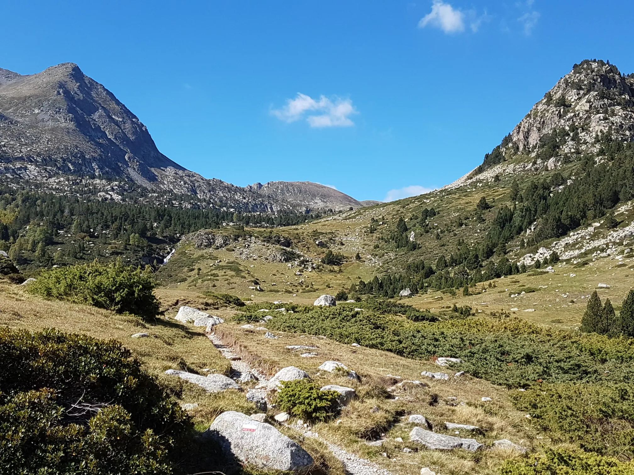
Le chemin des Bonshommes — In the footsteps of the Cathars
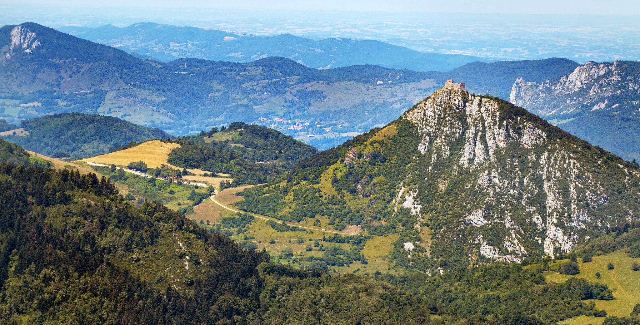
Cathar Route from Catalonia to France – Bons Homes Path (GR 107)
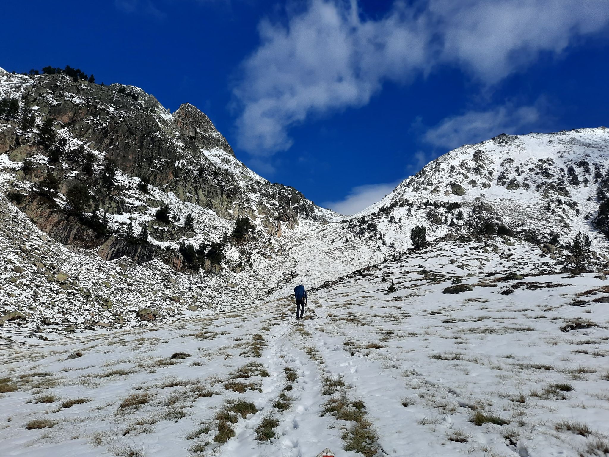
Between the Pyrenean peaks – GRP tour of the Montagnes d'Ax
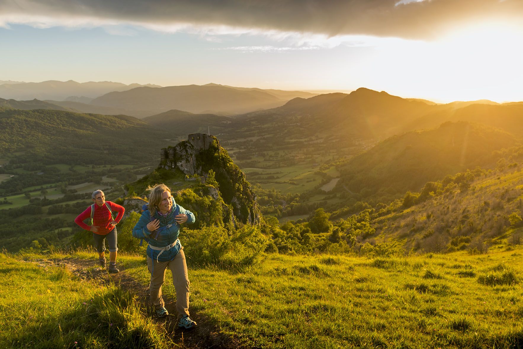
The chemin des Bonshommes — a journey between France and Spain
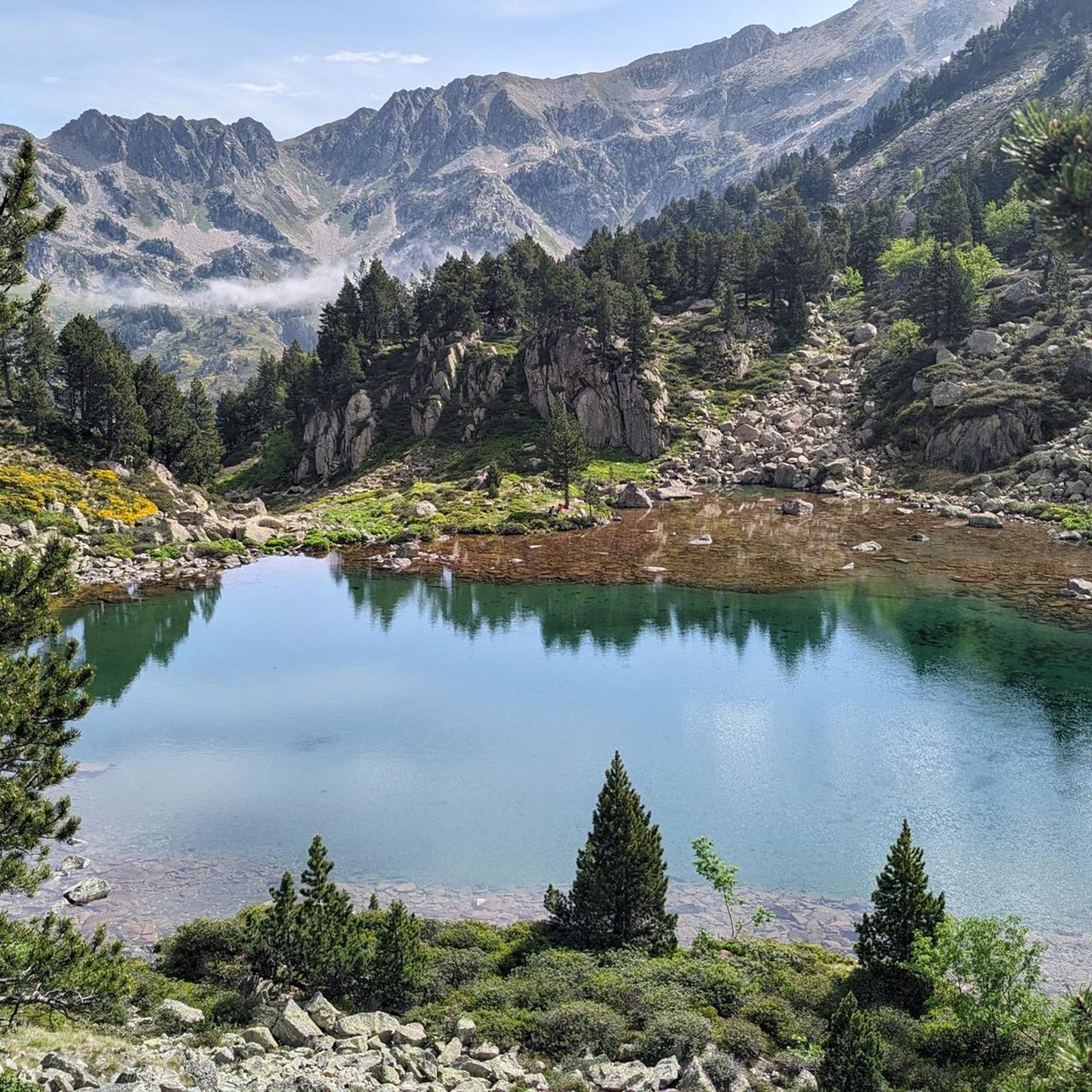
Hiking around Mérens-Les-Vals
Road Cycling Routes around Mérens-Les-Vals
Other adventures around Mérens-Les-Vals


Tips from the Community

Grandiose pass, mid-June with many snowfields for running up and sliding down. Wonderful views all around, to Pic Carlit, Puig Péric and many other peaks, to Lac de Lanoux and Lac d'En Beys (on the mountainside just before the pass) and into the valley towards Hospitalet-près-l'Andorre.
0
0

Magnificent routes to explore in the region
0
0
Small town, important railway station
0
0

This clear, zigzagging section of the path offers a beautiful view of the surrounding countryside.
0
0

Magnificent pond in the hollow of the mountains, fed by the Mourguillou stream. Superb hike through the pastures in the jasse de Mourguillou.
1
0

Continuously flowing, drinkable water fountain
2
0

Lac de Lanoux or Estany de Lanòs is the largest lake in the French Pyrenees with 17.1 square kilometers. Nestled at an altitude of 2,213 meters within spectacular mountains, it offers a vast and gentle interlude for hikers.
2
0
Nestled at the foot of the pic d'Auriol, the étang des Bésines is located between the eponymous hut and refuge. This pretty body of water offers a nice, pleasant break.
1
0
Frequently Asked Questions
How many running routes are available in Mérens-Les-Vals?
Mérens-Les-Vals offers a wide selection of running routes, with over 160 verified trails available on komoot. This extensive network ensures options for various fitness levels and preferences.
What kind of terrain can I expect on the running routes in Mérens-Les-Vals?
The running routes in Mérens-Les-Vals feature diverse terrain, ranging from green valleys and dense forests alongside clear rivers to steep peaks and high-altitude landscapes. You'll encounter a mix of rocky paths, narrow trails, and technical descents, providing an engaging experience for all runners.
Are there easy running routes suitable for beginners in Mérens-Les-Vals?
Yes, while many routes are challenging, Mérens-Les-Vals does offer options for beginners. There are 4 easy routes and 38 moderate routes available, providing gentler gradients and less technical terrain to help new runners get started or for those seeking a more relaxed pace.
Are there challenging running routes for experienced trail runners in Mérens-Les-Vals?
Absolutely. Mérens-Les-Vals is a fantastic destination for experienced trail runners, with 127 difficult routes. These trails often feature significant elevation gains and technical sections, leading to majestic peaks like Pic Carlit and Dent d'Orlu, offering spectacular views and a demanding workout.
Can I find circular running routes in Mérens-Les-Vals?
Yes, many of the running routes in Mérens-Les-Vals are circular, allowing you to start and finish at the same point. For example, the L'Estagnol loop from Mérens-les-Vals is a popular circular option, covering 12.4 km with over 600 meters of elevation gain.
What natural landmarks or points of interest can I see while running in Mérens-Les-Vals?
The running routes often pass by stunning natural features. You can encounter picturesque bodies of water like Lake Bouillouses or Viver Lake. Some trails also offer views of the Summit of Pic Carlit or the historic Font del Travenc Bridge.
Are there any unique attractions near the running trails for post-run relaxation?
Yes, a unique highlight near Mérens-Les-Vals is the natural hot springs (Sources Chaudes). After a run, you can relax in these sulfurous waters, which are around 35-40°C. They are accessible via a moderate 25-minute hike from the Romanesque Church of St-Pierre.
What do other runners enjoy most about the trails in Mérens-Les-Vals?
The running trails in Mérens-Les-Vals are highly rated by the komoot community, with an average score of 4.5 stars from over 30 reviews. Runners frequently praise the breathtaking 360-degree mountain panoramas, the varied terrain, and the serene alpine lakes that provide scenic backdrops.
Are the running routes in Mérens-Les-Vals suitable for families?
Mérens-Les-Vals offers a range of trails, some of which are suitable for families. While many routes are challenging, the easier and moderate options provide less strenuous paths through forests and valleys, ideal for families looking for a more relaxed outdoor experience. Always check the route difficulty and length before heading out.
Where can I find parking for the running trails in Mérens-Les-Vals?
Parking availability varies by trailhead. Many routes, especially those starting from villages or popular access points like Col de Puymorens or Bonascre-Le Saquet, will have designated parking areas. It's advisable to check the specific route details on komoot for parking information related to your chosen trail.
Is public transport available to access running routes in Mérens-Les-Vals?
Mérens-Les-Vals is accessible by public transport, particularly by train, as it has a station. This can be a convenient way to reach the area and access various trailheads. Some routes, like the Coma d'Or peak – Roc Gros de Coma d'Or loop from Col de Puymorens, might be reachable via local bus services or connections from the train station, but it's best to verify local schedules.
What is the best time of year for running in Mérens-Les-Vals?
The best time for running in Mérens-Les-Vals is typically from late spring to early autumn (May to October) when the weather is milder and trails are generally clear of snow. During these months, you can enjoy the lush green valleys and accessible high-altitude paths. Winter running is possible but requires appropriate gear and awareness of snow conditions.
Most popular routes around Mérens-Les-Vals
Most popular attractions around Mérens-Les-Vals

Get inspired with the komoot mobile app


Explore more
Browse the best Running Trails & Routes in other regions.
