The best running trails around Goulier
4.8
(13)
1,180
runners
52
runs
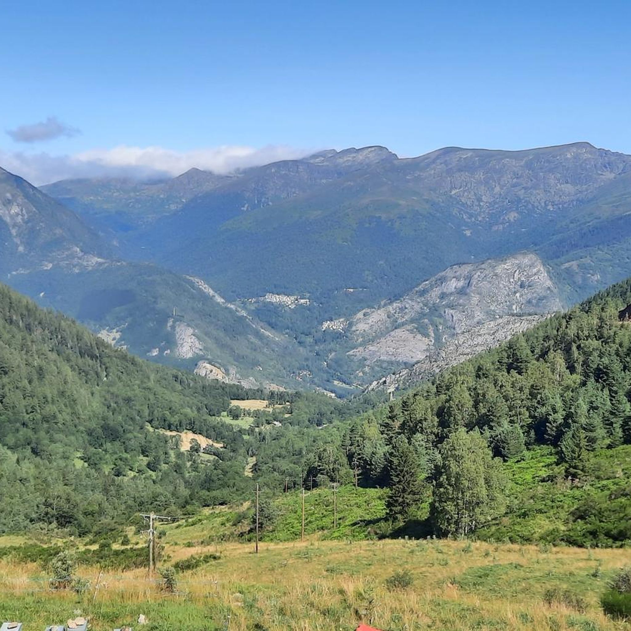
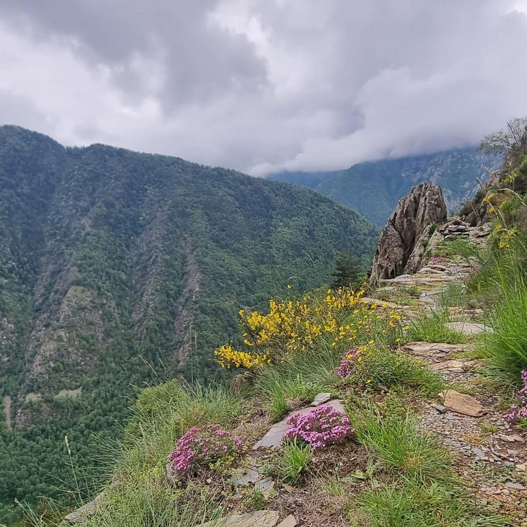
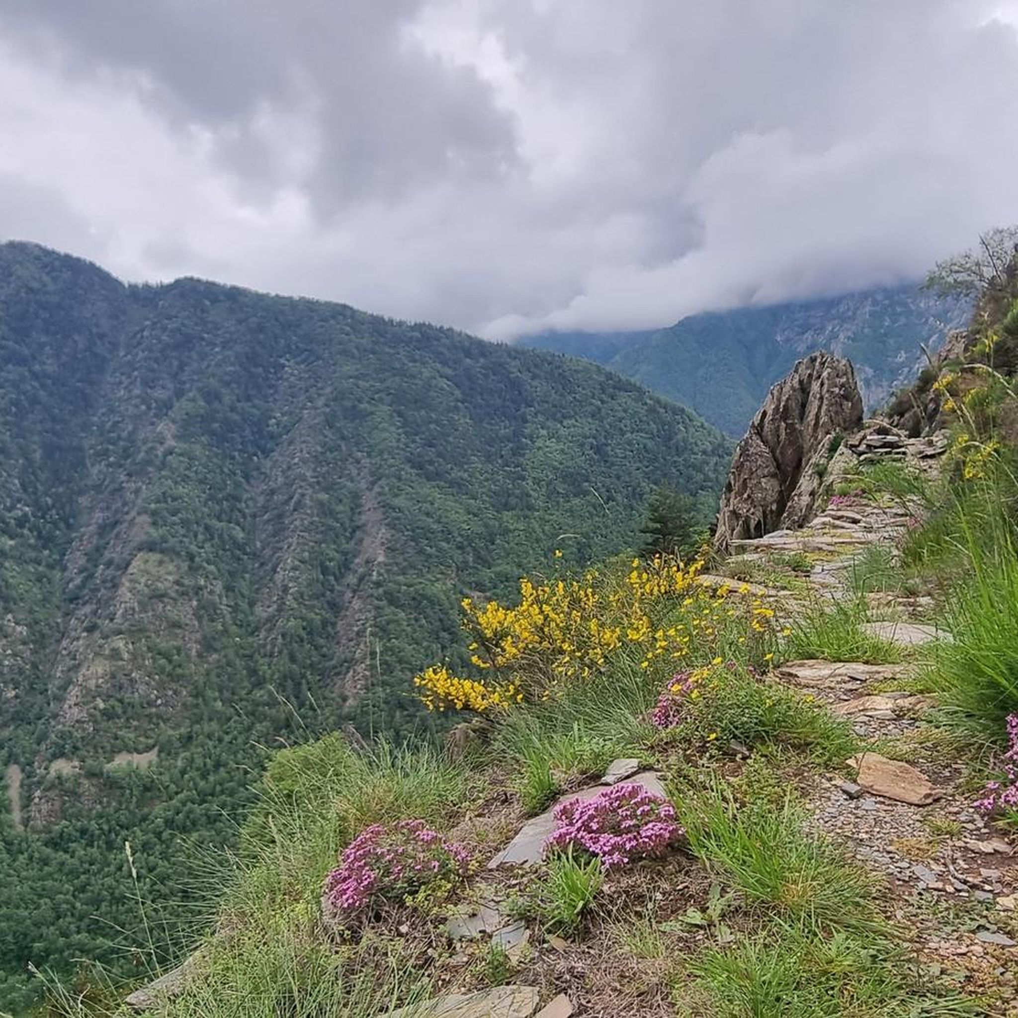
Jogging around Goulier offers routes through a mountainous landscape characterized by significant elevation changes and varied terrain. The region features dense forests, open mountain slopes, and the presence of historic ruins and grottoes. Running routes often include ascents to viewpoints and descents through valleys, providing a challenging experience for runners.
Best jogging routes around Goulier
- The most popular jogging route is Burgruine und Grotten – Auzat loop from Auzat, a 15.4 miles (24.7 km) trail that takes 3 hours…
Last updated: July 4, 2026
5.0
(1)
57
runners
21.1km
03:55
1,200m
1,200m
Hard run. Very good fitness required. Sure-footedness, sturdy shoes and alpine experience required.
5.0
(1)
49
runners
12.6km
01:56
620m
620m
Hard run. Very good fitness required. Sure-footedness, sturdy shoes and alpine experience required.

Sign up for free
5.0
(2)
32
runners
11.1km
01:24
320m
320m
Hard run. Very good fitness required. Mostly paved surfaces. Suitable for all skill levels.
20
runners
27.7km
04:04
890m
890m
Hard run. Very good fitness required. Sure-footedness, sturdy shoes and alpine experience required.
18
runners
10.0km
01:07
100m
100m
Moderate run. Good fitness required. Mostly paved surfaces. Suitable for all skill levels.
Get access to more routes and recommendations from other explorers.
Sign up for free
Already have an account?
Our route recommendations are based on thousands of hikes, rides, and runs completed by other people on komoot.
Start today with a free account
Your next adventure awaits.
Login or Signup
Tips from the Community

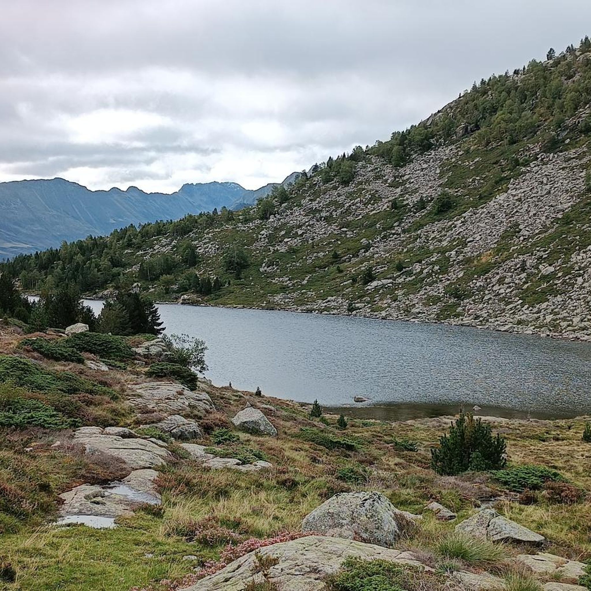
Very welcoming and friendly staff, with a fantastic view of the Bassiès ponds.
1
0

One of the most beautiful places in Ariège. Whether you come in winter on snowshoes or in summer, the ponds are always as beautiful and impressive!
1
0

an approach that is not easy but well rewarded
1
0


This refuge is located in the middle of the Bassiès cirque, at an altitude of 1,650 meters. The refuge has dormitories and rooms with single beds. It is also possible to bivouac on the lawns surrounding the refuge. You can even rent tents and mattresses. The refuge also offers a catering service available for all three meals.
1
0

The port of Saleix, which is the pass separating the valleys of Couserans and Vicdessos, offers magnificent views of these valleys.
1
0
The port of Saleix, which is the pass separating the Couserans and Vicdessos valleys, offers magnificent views of these valleys.
2
0
At the foot of Mount Garias, the Alate pond is located more or less 1h30 from the Coumebière plateau and is a nice goal for a hike.
1
0
Frequently Asked Questions
How many running routes are available in Goulier?
There are over 45 running routes around Goulier, offering a wide range of options for different skill levels. The region is known for its challenging mountainous terrain.
Are there running trails suitable for beginners in Goulier?
While Goulier's terrain is predominantly mountainous and challenging, there is 1 easy running route available. Most of the 46 routes are classified as moderate to difficult, featuring significant elevation changes.
What kind of terrain can I expect on jogging routes in Goulier?
Jogging routes in Goulier feature a mountainous landscape with significant elevation changes. You'll encounter varied terrain including dense forests, open mountain slopes, and paths leading past historic ruins and natural grottoes.
Are there any circular jogging trails in Goulier?
Yes, many of the running routes in Goulier are circular. For example, the Burgruine und Grotten – Auzat loop from Auzat is a popular 15.4-mile (24.7 km) loop that takes you past historic castle ruins and grottoes.
What can I see along the running routes in Goulier?
Many running routes offer stunning views and pass by interesting landmarks. You can explore historic castle ruins and natural grottoes, or enjoy panoramic mountain views from peaks like Pic de Risoul. Some trails also lead past beautiful lakes such as Izourt Pond or Étang Fourcat.
Are there any running routes with good viewpoints in Goulier?
Absolutely. Goulier's mountainous landscape means many routes offer excellent viewpoints. The Burgruine und Grotten – Pic de Risoul loop from Val-de-Sos, for instance, provides panoramic mountain views from Pic de Risoul, making it a rewarding choice for runners seeking scenic vistas.
What do other runners enjoy the most about jogging in Goulier?
The running routes in Goulier are highly rated by the komoot community, with an average score of 4.75 stars from over 13 reviews. Runners frequently praise the challenging yet rewarding mountainous terrain, the diverse natural scenery, and the presence of historic sites like castle ruins and grottoes along the trails.
What is the best season for running in Goulier?
Given Goulier's mountainous environment, late spring, summer, and early autumn generally offer the most favorable conditions for running. During these seasons, trails are typically clear of snow, and the weather is more stable. Winter running can be challenging due to snow and ice, requiring specialized gear and caution.
Are there any family-friendly running routes in Goulier?
While most routes in Goulier are rated as difficult due to significant elevation, there is 1 easy route that might be more suitable for families or those looking for a less strenuous run. Always check the route details for distance and elevation to ensure it matches your family's ability.
Can I bring my dog on the running trails in Goulier?
Many outdoor trails in the Pyrenees region are dog-friendly, but it's always best to check local regulations or specific route descriptions. Be mindful of livestock, especially in open mountain areas, and keep your dog on a leash where required. Ensure your dog is fit for mountainous terrain and carry enough water for both of you.
Are there any huts or refuges along the running trails in Goulier?
Yes, some running routes in Goulier pass by or near mountain huts and refuges. For example, the Refuge de Bassiès – Burgruine und Grotten loop from Val-de-Sos leads through high mountain terrain and past the Bassiès Refuge. Other notable refuges in the area include Pinet Refuge and Mounicou stopover gîte.
What is the typical duration for running routes in Goulier?
The duration of running routes in Goulier varies significantly depending on the distance and elevation. For example, the Burgruine und Grotten – Auzat loop from Auzat, a 15.4-mile (24.7 km) trail, typically takes around 3 hours 43 minutes, while shorter routes like the Auzat loop from Val-de-Sos (7.1 miles / 11.4 km) can be completed in about 1 hour 35 minutes.
Most popular attractions around Goulier

Get inspired with the komoot mobile app


Explore more
Browse the best Running Trails & Routes in other regions.
