The best road cycling routes around Goulier
4.5
(26)
1,862
riders
19
rides
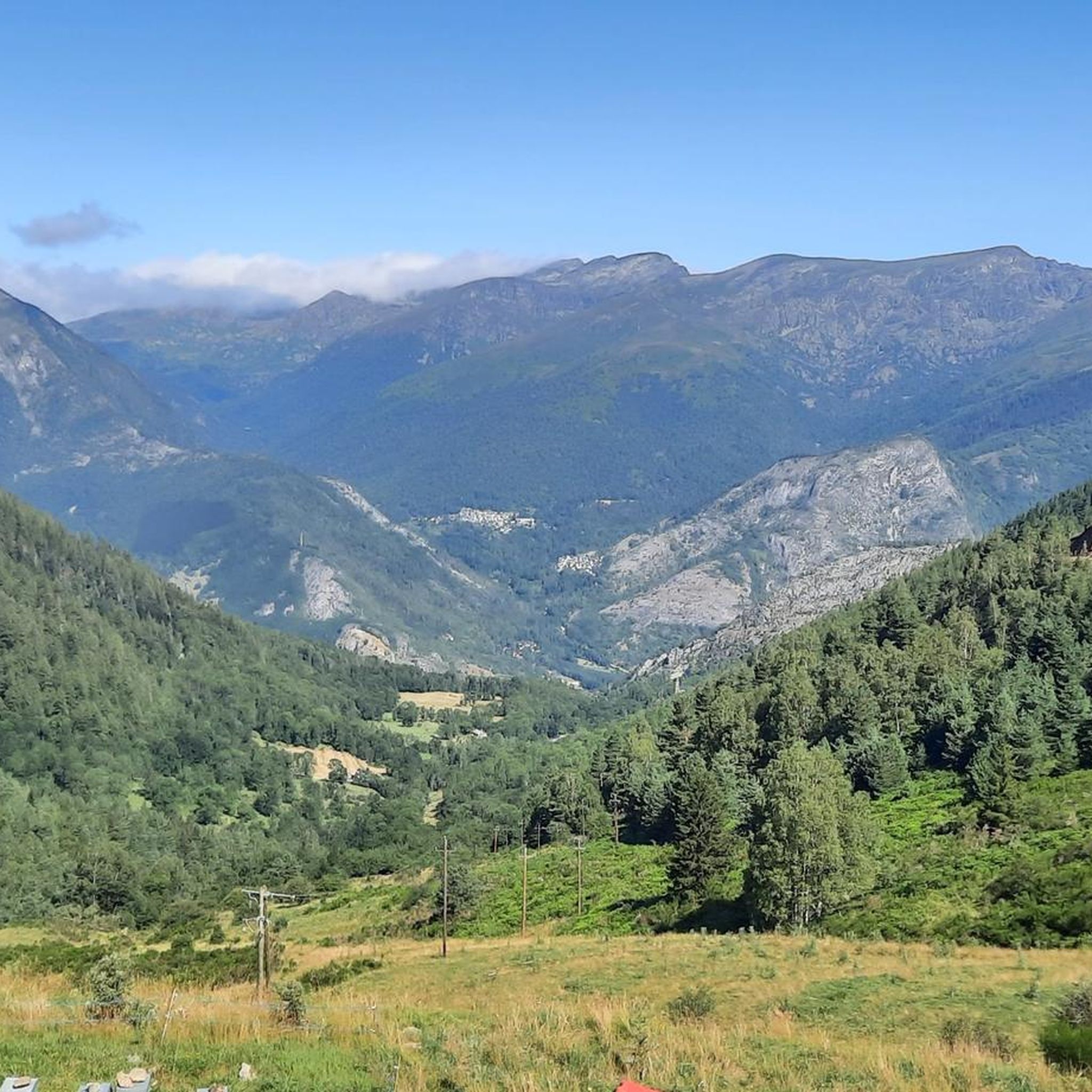
Road cycling routes around Goulier are set within the Pyrénées Ariégeoises Natural Park, offering diverse terrain for cyclists. The region is characterized by its Pyrenean landscapes, including the upper Vicdessos valley and surrounding impressive peaks. Cyclists can expect varied challenges, from accessible climbs to routes with significant elevation gain, often passing through dense forests.
Best road cycling routes around Goulier
- The most popular road cycling route is Through the Lers pass to the pond, a 22.8 miles (36.7 km)…
Last updated: July 5, 2026
5.0
(1)
99
riders
36.7km
02:24
1,110m
1,110m
Hard road ride. Very good fitness required. Mostly well-paved surfaces and easy to ride.
4.5
(2)
188
riders
196km
10:57
4,300m
4,300m
Hard road ride. Very good fitness required. Mostly well-paved surfaces and easy to ride.

Sign up for free
112
riders
140km
08:02
3,240m
3,240m
Hard road ride. Very good fitness required. Some segments of this route may be unpaved and difficult to ride.
89
riders
26.9km
01:12
280m
280m
Easy road ride. Great for any fitness level. Mostly well-paved surfaces and easy to ride.
202
riders
53.5km
02:56
1,120m
1,120m
Hard road ride. Very good fitness required. Mostly well-paved surfaces and easy to ride.
Get access to more routes and recommendations from other explorers.
Sign up for free
Already have an account?
Our route recommendations are based on thousands of hikes, rides, and runs completed by other people on komoot.
Start today with a free account
Your next adventure awaits.
Login or Signup
Tips from the Community

A heavenly place to enjoy the Pyrenees in their full glory. Ideal for a family picnic in spring or summer. Also, as there is a bar - restaurant, it is ideal if you want to have a drink on the terrace.
0
0
I climbed it from its easier side, the one that starts from Foix and stretches for 28 kms, crossing the Col de Marrous. It's a steady climb, with a few tough kilometers, and very pleasant. It's the side used by the Tour de France to descend it. The best thing about the Mur de Peguère are the views from its summit.
0
0
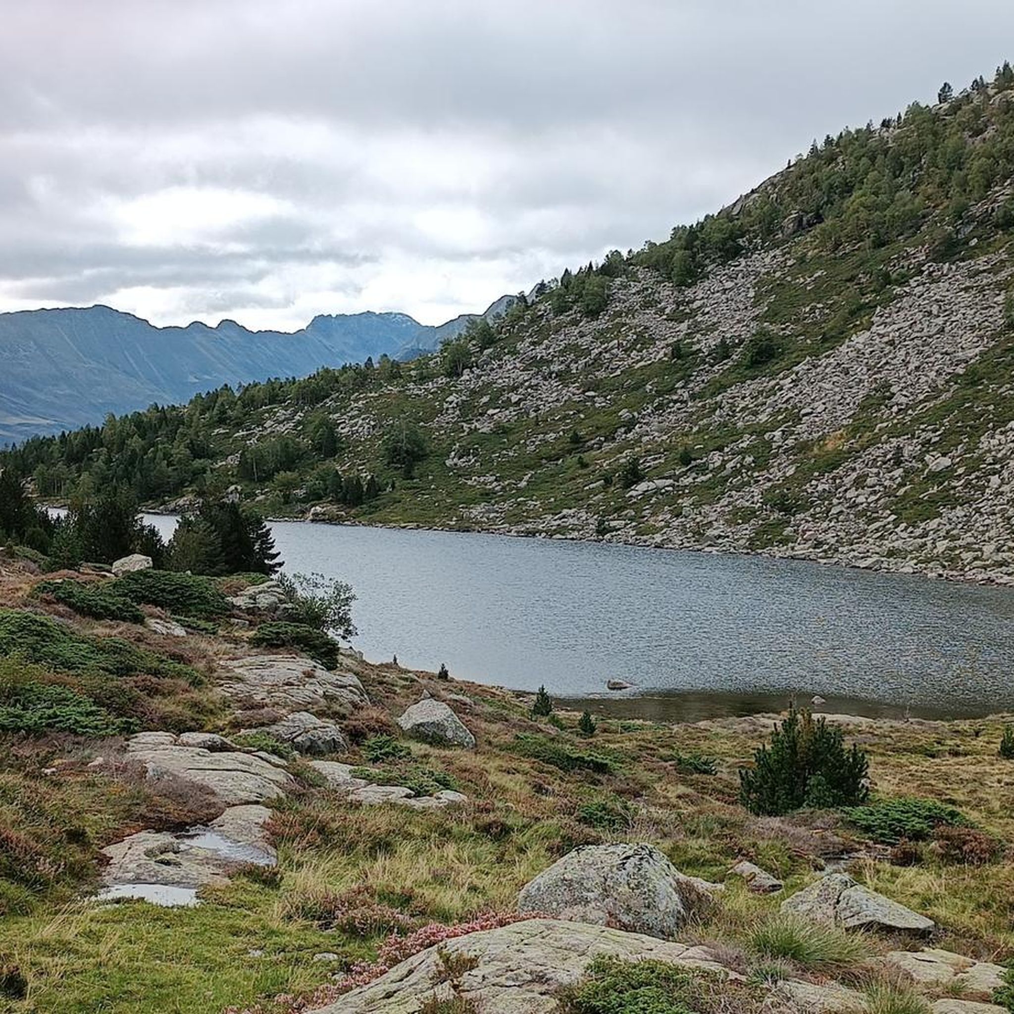
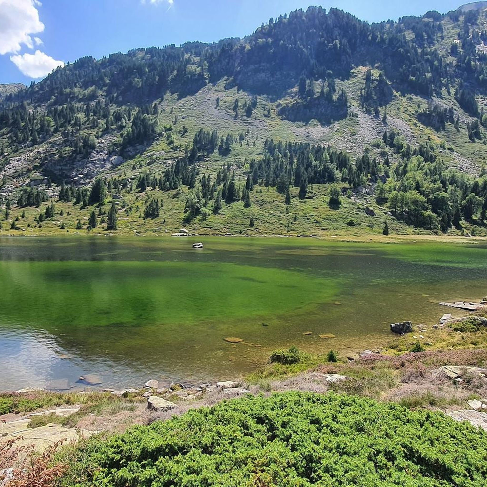
It is a MUST of the Pyrenees, without a doubt, that should be included in any route that crosses the Pyrenees from side to side. Any of its slopes 2 is spectacular and tough. The views from its summit are wonderful, feeling the wild side of the Pyrenees. Of course, once at the summit of this pass... you have to descend to the Étang de Lers and enjoy a quiet rest on the shores of the lake. It is a pass that has been part of the Tour de France route on several occasions, although always far from the finish line. The first professional rider to crest it in the lead was the unforgettable Marco Pantani in 1995.
0
0
I can only speak about my experience descending it from the south side, the one that starts in the village of Biert. It's simply a great pass, with a very tough final section, very similar to its close brother Mur de Peguère. With hardly any traffic, it has the appeal that the road is very narrow and very winding, which helps mentally.
0
0

I liked the climb from the north side (from Massat), very scenic and alpine landscapes towards the end at the étang de Lers
0
0

There are several fountains and public pools with pure thermal water to warm your feet after the descent.
0
0

Nice relax and shower stop in the swimming pool by Parc de'Espagne. Also a hose to clean the bikes in park near the gondola lift entry.
0
0
Frequently Asked Questions
What kind of road cycling challenges can I expect in Goulier?
Goulier, situated in the Pyrénées Ariégeoises Natural Park, offers a diverse range of road cycling challenges. You'll find everything from accessible climbs suitable for beginners, such as the gentle ascent to Goulier Neige, to demanding first-category climbs like the 9.6-kilometer route from Vicdessos to Goulier, which features an average gradient of 8.1% and sections up to 18.1%.
How many road cycling routes are available around Goulier?
There are over 15 road cycling routes around Goulier documented on komoot. These routes cater to various skill levels, with options ranging from easy to very difficult, ensuring there's a suitable ride for every cyclist.
Are there any moderate road cycling routes for intermediate riders?
Yes, Goulier offers several moderate road cycling routes. For example, the Lers Pass loop from Val-de-Sos is a moderate 23.9 km route with over 800 meters of elevation gain, providing a good challenge without being overly strenuous.
What are some of the most challenging road cycling routes in the Goulier area?
For experienced cyclists seeking a significant challenge, routes like the Col de la Crouzette (1245 m) – Col de Saraillé loop from Val-de-Sos stand out. This extensive 139.8 km loop includes multiple challenging cols and features over 3,200 meters of elevation gain. Another demanding option is the Notre-Dame de Sabart Chapel – Plateau de Beille Climb loop from Vicdessos, which covers 102.4 km with over 2,500 meters of ascent.
What kind of scenery can I expect on road cycling routes around Goulier?
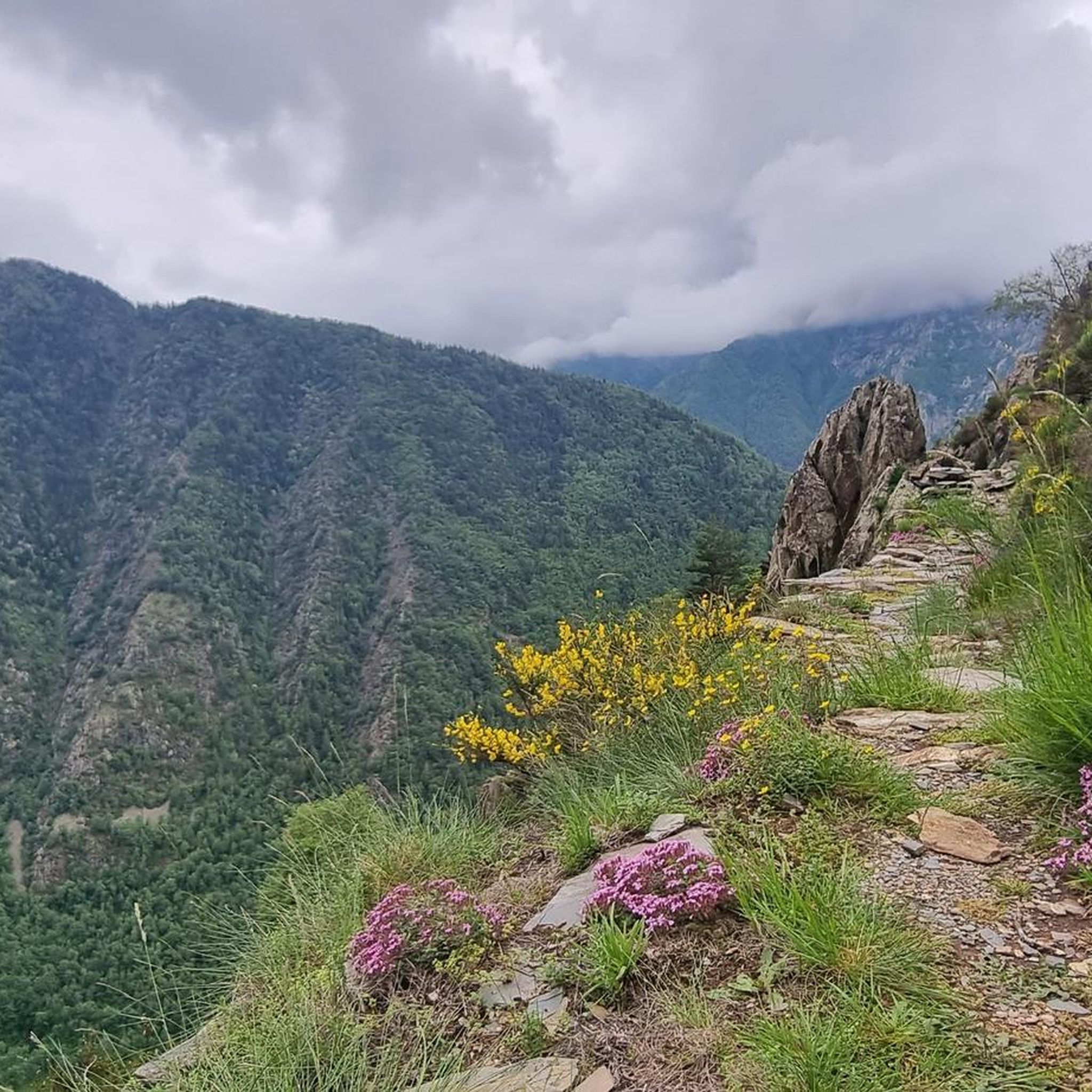
Road cycling routes around Goulier offer breathtaking Pyrenean landscapes. You'll ride through dense forests, along winding roads, and enjoy spectacular valley views. The region is characterized by impressive peaks and an unspoiled natural setting, providing a picturesque backdrop for your rides.
What do other road cyclists say about the routes in Goulier?
The road cycling routes in Goulier are highly regarded by the komoot community, holding an average rating of 4.5 stars from around 30 reviews. Cyclists often praise the challenging mountain passes, the beauty of the forested valleys, and the diverse terrain that caters to various ability levels.
Are there any notable landmarks or viewpoints along the road cycling routes?
Yes, the region around Goulier is rich in natural landmarks and viewpoints. While cycling, you might encounter stunning vistas of peaks like Montcalm Peak or the Tristaina Solar Viewpoint. The village of Goulier itself also features historical sights such as the Massot Cross and an 18th-century mill.
Can I find routes that pass by lakes or reservoirs?
Yes, some routes in the area incorporate natural water features. For instance, the Through the Lers pass to the pond route offers views of a pond, and the Étang de Soulcem – Soulcem Reservoir loop from Suc-et-Sentenac specifically takes you past the Soulcem Reservoir.
What is the best time of year for road cycling in Goulier?
The summer months are generally ideal for road cycling in Goulier, as the weather is more stable and the high mountain passes are clear of snow. However, the region's diverse terrain means that spring and autumn can also offer pleasant riding conditions, especially at lower altitudes, with vibrant foliage or blooming wildflowers.
Are there any options for longer, multi-day road cycling tours starting from Goulier?
While specific multi-day tours are not detailed here, the presence of extensive loops like the Col de la Crouzette (1245 m) – Col de Saraillé loop from Val-de-Sos (nearly 140 km) suggests that Goulier can serve as an excellent base for combining several challenging routes into a longer cycling adventure across the Ariège Pyrenees.
What are the typical elevation gains on road cycling routes in Goulier?
Elevation gains on road cycling routes in Goulier vary significantly, reflecting the mountainous terrain. You can expect anything from around 800 meters on moderate loops like the Lers Pass loop from Val-de-Sos to over 3,200 meters on more challenging routes such as the Col de la Crouzette (1245 m) – Col de Saraillé loop from Val-de-Sos.
Most popular attractions around Goulier

Get inspired with the komoot mobile app


Explore more
Browse the best Road cycling routes in other regions.
