The best mountain hikes around Goulier
5.0
(1)
23
hikers
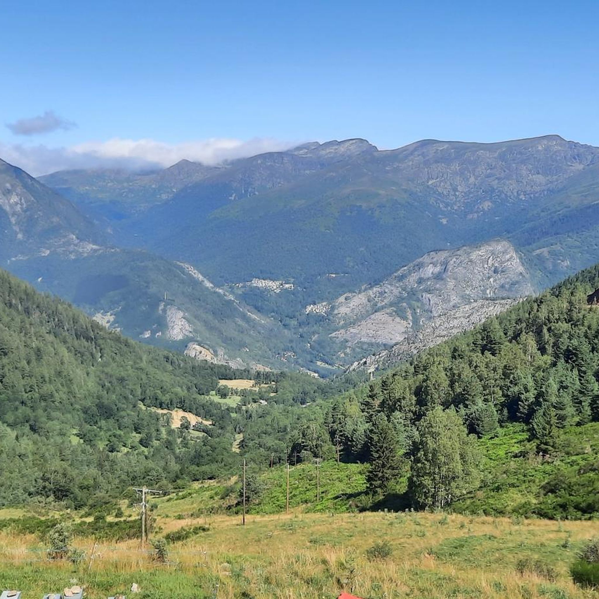
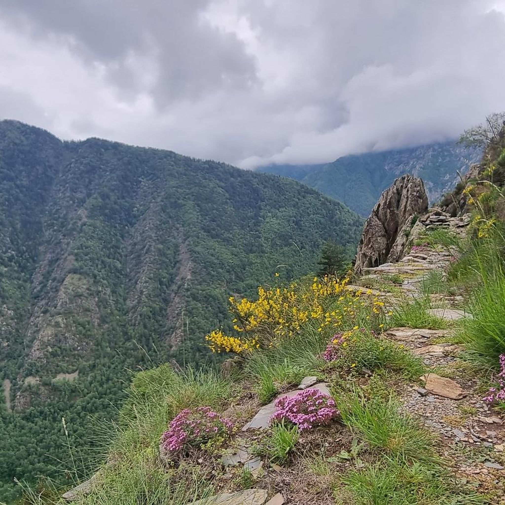
Mountaineering routes around Goulier are situated in the French Pyrenees, within the Ariège department, offering access to diverse mountain terrain. The region is characterized by its preserved natural environment, nestled within the Parc naturel des Pyrénées Ariégeoises, featuring forests and a connection to the natural wealth of Ariège. Goulier serves as a gateway to higher and more challenging terrain, with peaks like Garbié (2,047 m) and Sarrasi (2,213 m) nearby, and providing access to imposing Pyrenean summits such as Pique…
Last updated: May 23, 2026
6
hikers
10.2km
05:06
830m
830m
Hard mountaineering route. Very good fitness required. Mostly accessible paths. Sure-footedness required.
6
hikers
8.88km
04:15
620m
620m
Hard mountaineering route. Good fitness required. Sure-footedness, sturdy shoes and alpine experience required.

Sign up for free
5.0
(1)
4
hikers
14.7km
07:12
1,160m
1,160m
Hard mountaineering route. Very good fitness required. Sure-footedness, sturdy shoes and alpine experience required.
4
hikers
11.2km
04:47
680m
680m
Hard mountaineering route. Good fitness required. Sure-footedness, sturdy shoes and alpine experience required.
3
hikers
15.0km
08:04
1,210m
1,210m
Hard mountaineering route. Very good fitness required. Sure-footedness, sturdy shoes and alpine experience required.
Our route recommendations are based on thousands of hikes, rides, and runs completed by other people on komoot.
Start today with a free account
Your next adventure awaits.
Login or Signup
Tips from the Community

A magnificent peak, accessible to any experienced hiker. However, you must be careful to wait until the snow has completely melted before making the ascent.
0
0

Perhaps not the most comfortable bench, but a very photogenic one made of stone in a beautiful spot. During the season and on weekends when the weather is nice, the parking lot gets busy... Starting point for many different hiking and mountain tours. Please open the image for portrait format.
2
0
A scenic parking lot above the reservoir. From here, you can start a variety of hikes and mountain tours, including the shortest (but challenging T4) ascent to the Pica d'Estats, Montcalm, and Pic de l'Étang Fourcat. However, in good weather and on weekends, this spot is very busy, so even the plentiful parking spaces are limited. Mountaineers who want to avoid this should set off early.
2
0

Climb made by the Col de la Pourtanelle quite physical up to the Pic des Trois Seigneurs
0
0
Magnificent summit made by the very fun port of Bouet
0
0

Past the Pla de Soulcem dam, you come across the Soulcem stream and its superb valley. The road ends there. If you want to continue exploring, then you will have to trade in the bike for the hiking boots.
0
0

Almost everything is a highlight here!
0
0

Beautiful view of the mountains. Quite challenging hiking trail.
0
0
Frequently Asked Questions
What kind of mountaineering challenges can I expect in Goulier?
Goulier, situated in the Ariège Pyrenees, offers a range of challenging mountaineering experiences. You can expect demanding alpine hikes and technical sections, particularly on routes leading to peaks like Pique d'Endron, which can involve small climbing passages (up to UIAA grade III) and exposed ridges. The broader region also features impressive summits such as Pique d'Estats (3,143 m) and Pic du Montcalm (3,077 m), providing extensive high-mountain hiking and alpine climbing opportunities.
Are there any circular mountaineering routes in Goulier?
Yes, Goulier offers several circular mountaineering routes. For instance, the Pic Verdaguer – Pica d'Estats Summit loop from L'Artigue is a challenging 19.9 km trail. Another option is the Pic des Trois Seigneurs loop from Port de Lers, covering 10.1 km with panoramic views. You can also explore the Étang d'Artax – Roc de Querquéou loop from Gourbit, a 12.1 km route through high mountain lakes and rocky ridges.
What natural features or landmarks can I see along the mountaineering routes in Goulier?
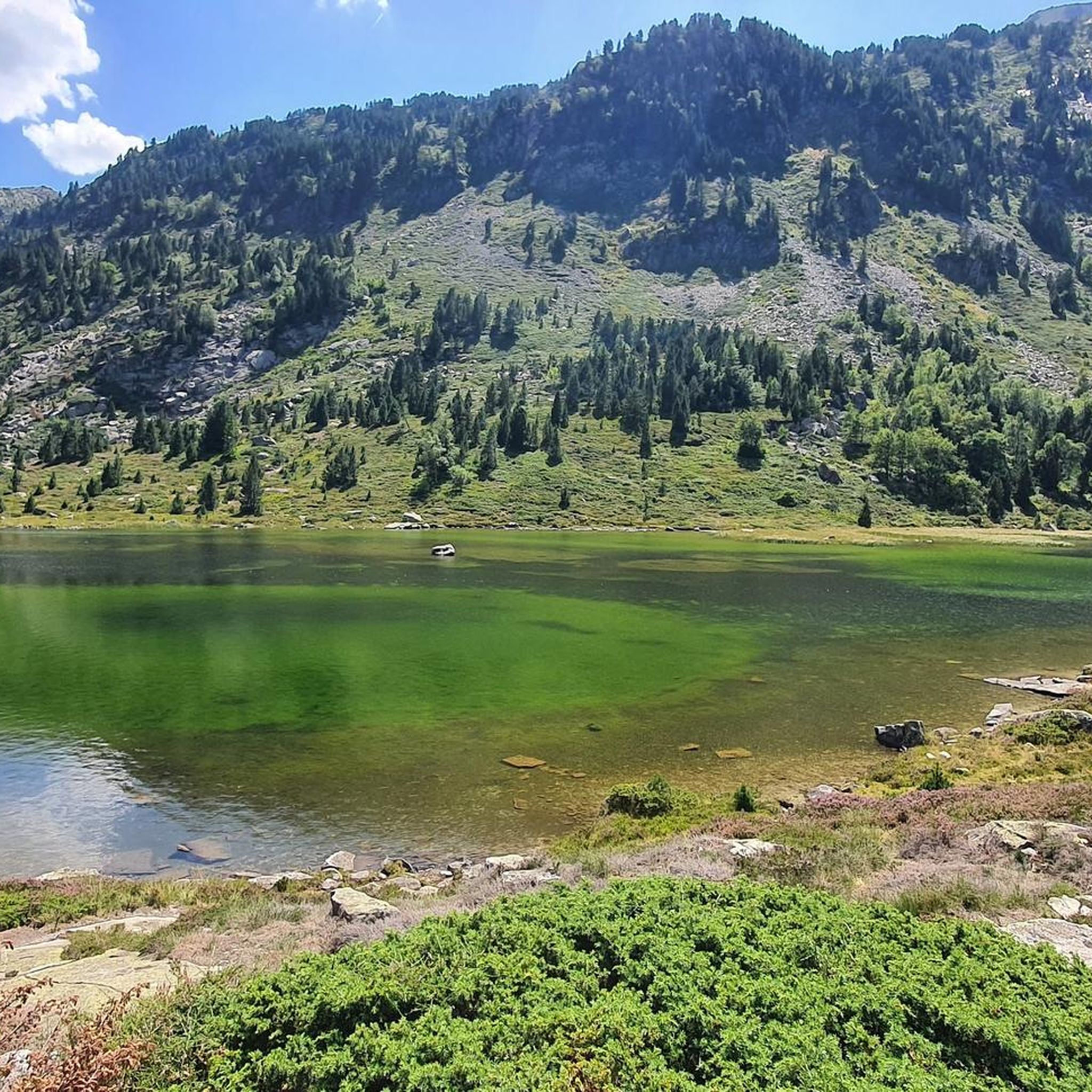
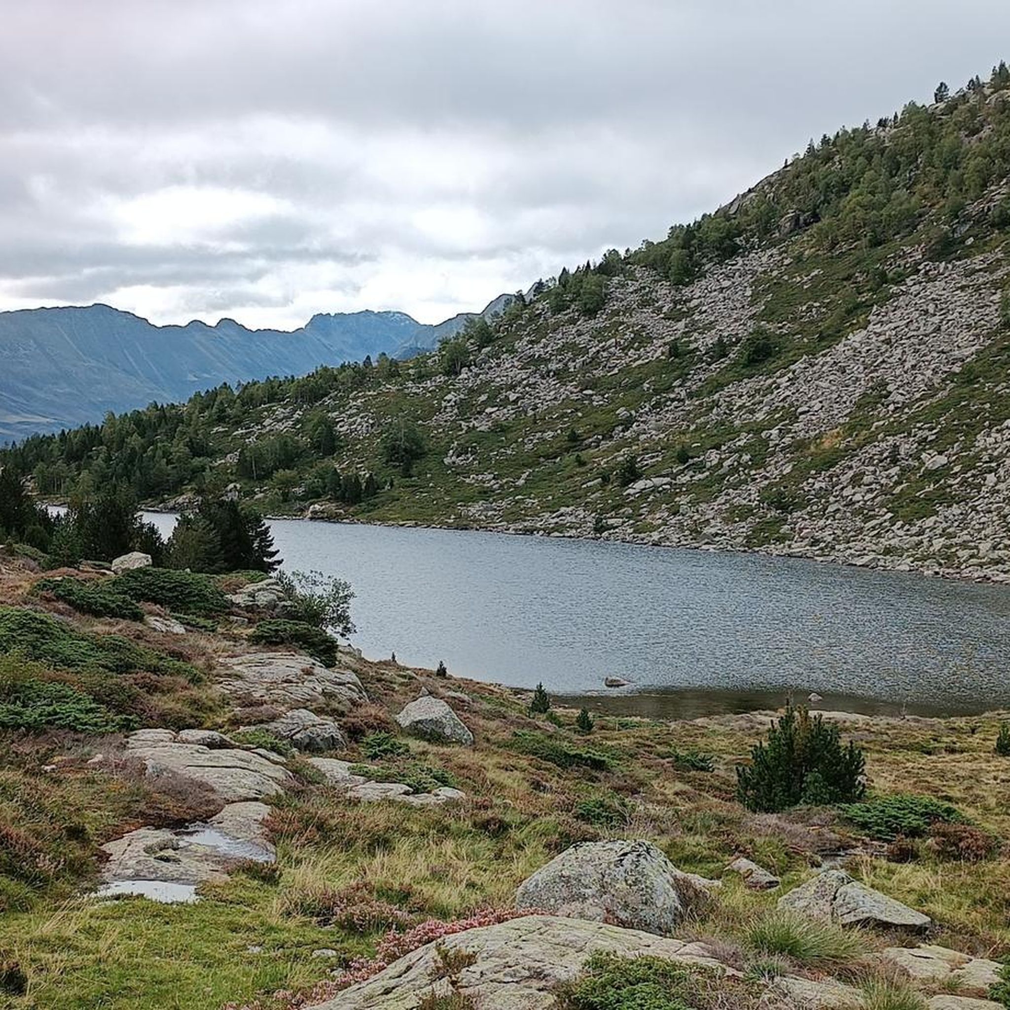
The mountaineering routes around Goulier are rich with natural beauty. You can encounter stunning high-altitude lakes like the Etangs de Bassiès and Izourt Pond. The region also features significant passes such as Agnès Pass and Lers Pass. For impressive views, consider visiting the Tristaina Solar Viewpoint. The area is also home to notable summits like Montcalm Peak and Saleix Pass.
What is the best time of year for mountaineering in Goulier?
The best time for mountaineering in Goulier is typically during the warmer months, from late spring to early autumn, when trails are generally free of snow and weather conditions are more stable. However, the region also offers winter mountaineering opportunities, such as snow climbing in the Créneau d'Endron, which is ideal for beginners under supervision. Always check local weather and trail conditions before heading out, especially at higher altitudes.
Are there any less crowded mountaineering routes in Goulier?
While specific crowd levels can vary, routes that are slightly less known or require more commitment might offer a quieter experience. The Embans Circus loop from Parking du Ressec, a 9.8 km route, and the View of Étang de Soulcem loop from Étang de Soulcem, at 10.19 km, are excellent options for exploring the high Pyrenean terrain away from the most frequented paths.
What is the general difficulty level of mountaineering routes in Goulier?
Mountaineering routes in Goulier are generally considered difficult, catering to experienced individuals. They often involve significant elevation gains, long distances, and challenging alpine terrain. For example, the Pic Verdaguer – Pica d'Estats Summit loop involves nearly 2000 meters of ascent over 19.9 km.
What do other mountaineers say about the routes in Goulier?
The mountaineering routes in Goulier are highly rated by the komoot community, with an average score of 4.8 stars from 8 reviews. Reviewers often praise the challenging alpine terrain, the pristine forests, and the rewarding high Pyrenean peaks that define the region's diverse landscape.
Are there opportunities for rock climbing or via ferrata near Goulier?
Beyond mountaineering, the Ariège region, where Goulier is located, is a prominent destination for rock climbing, boasting over 1800 routes across various rock types like limestone, granite, and gneiss. Additionally, the nearby Vicdessos area offers a via ferrata with routes of varying difficulties, providing another way to experience the verticality and panoramic views of the Pyrenees.
Can I find any high-altitude lakes along the mountaineering routes?
Yes, the region around Goulier is dotted with beautiful high-altitude lakes that add to the scenic beauty and offer serene destinations for trekkers. Notable examples include the Etangs de Bassiès and Izourt Pond, which you might encounter on various trails.
What other outdoor activities are available in the Goulier area?
Goulier and its surroundings offer a wide array of outdoor activities. In winter, the Goulier-Neige ski resort provides downhill skiing, snowshoeing, and tobogganing. Throughout the year, you can explore extensive hiking trails, including a variant of the GR10, and historical paths like the mining trail in Sem. The Ariège Pyrenees also provide opportunities for caving in subterranean networks and canyoning in gorges and rivers.
Most popular attractions around Goulier

Get inspired with the komoot mobile app


Explore more
Browse the best Mountain Hikes & Routes in other regions.
