The best running trails around Lay-Saint-Remy
4.8
(16)
1,107
runners
104
runs
Jogging around Lay-Saint-Remy offers a network of routes suitable for various fitness levels. The region features generally flat to gently rolling terrain, with some routes including moderate elevation changes. These running routes often traverse rural landscapes and connect local communities. The area provides opportunities for both shorter, easier runs and longer, more challenging distances.
Best jogging routes around Lay-Saint-Remy
- The most popular jogging route is Running loop from Foug, a 5.8 miles (9.3 km) trail that takes about 1…
Last updated: June 26, 2026
5.0
(3)
6
runners
6.24km
00:44
70m
70m
Moderate run. Good fitness required. Mostly paved surfaces. Suitable for all skill levels.
5
runners
13.4km
01:27
120m
120m
Moderate run. Good fitness required. Mostly paved surfaces. Suitable for all skill levels.

Sign up for free
3
runners
9.60km
01:10
110m
110m
Moderate run. Good fitness required. Mostly paved surfaces. Suitable for all skill levels.
4
runners
9.79km
01:05
30m
30m
Moderate run. Good fitness required. Mostly paved surfaces. Suitable for all skill levels.
4
runners
3.73km
00:23
20m
20m
Easy run. Great for any fitness level. Mostly paved surfaces. Suitable for all skill levels.
Get access to more routes and recommendations from other explorers.
Sign up for free
Already have an account?
Our route recommendations are based on thousands of hikes, rides, and runs completed by other people on komoot.
Start today with a free account
Your next adventure awaits.
Login or Signup

Tips from the Community

Nice park for a break.
1
0
Frequently Asked Questions
How many running routes are available around Lay-Saint-Remy?
There are nearly 100 dedicated running routes around Lay-Saint-Remy, offering a wide variety of options for different fitness levels and preferences. The komoot community has explored over 90 routes in the area.
What is the typical terrain like for running in Lay-Saint-Remy?
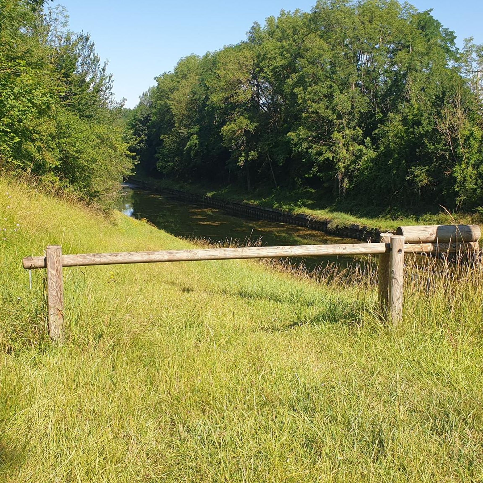
The region features generally flat to gently rolling terrain, with some routes including moderate elevation changes. You'll often find yourself traversing rural landscapes and paths connecting local communities, providing a mix of surfaces from paved paths to dirt trails.
Are there running routes suitable for beginners in Lay-Saint-Remy?
Yes, Lay-Saint-Remy offers several easy running routes perfect for beginners. For example, the Running loop from Écrouves is an easy 3.7 km (2.3 miles) trail with minimal elevation gain, ideal for a gentle run.
Can I find circular running routes near Lay-Saint-Remy?
Many of the running routes in the Lay-Saint-Remy area are circular, allowing you to start and finish at the same point. A popular option is the Pagny-sur-Meuse loop from Pagny-sur-Meuse, which covers about 9.7 km (6 miles).
Are there any scenic running routes with viewpoints in Lay-Saint-Remy?
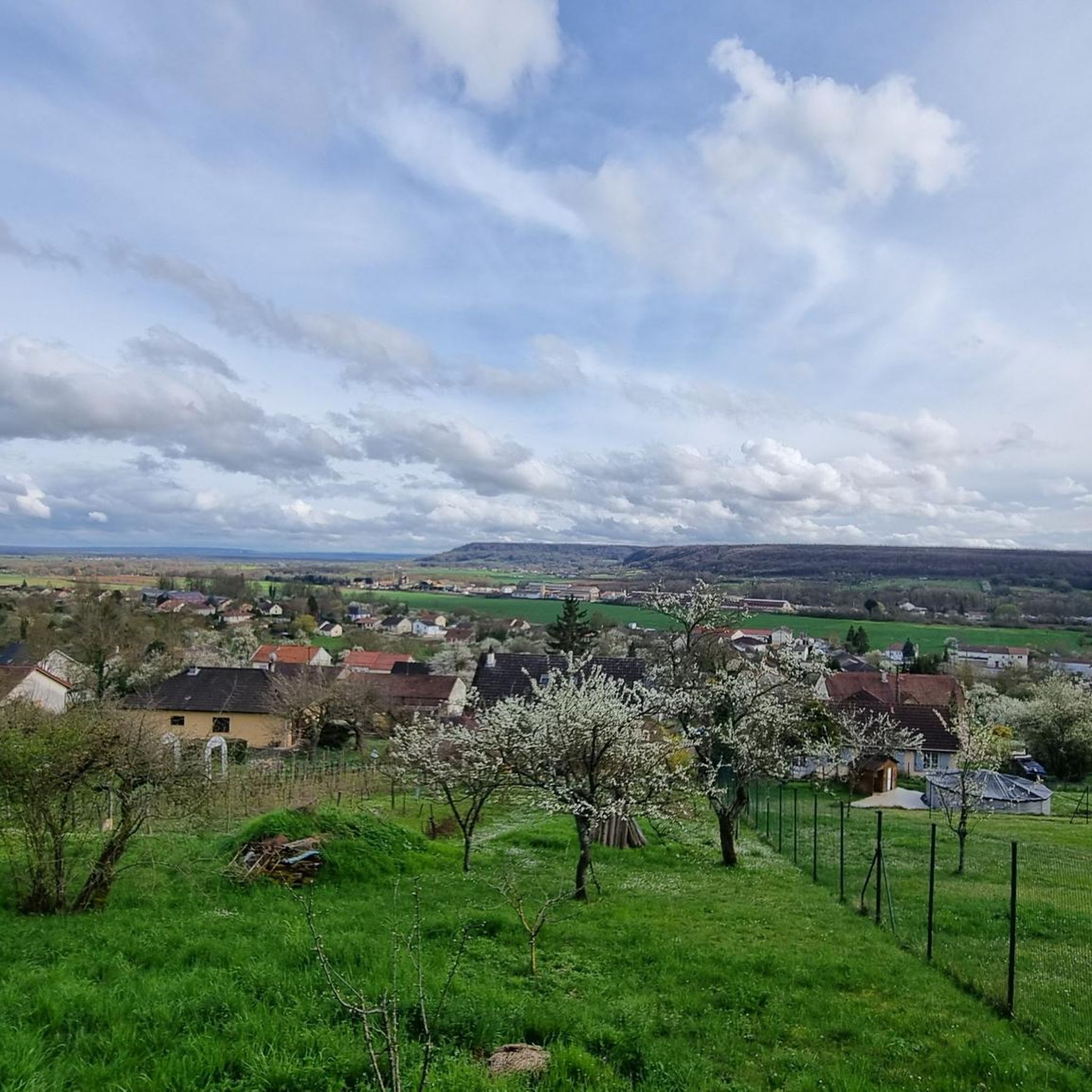
While specific viewpoints aren't highlighted, the routes around Lay-Saint-Remy are known for their rural charm, offering pleasant views of the surrounding countryside and local villages. The varied landscapes along routes like the Running loop from Pagny-sur-Meuse provide a scenic backdrop for your run.
What do other runners enjoy most about the trails in Lay-Saint-Remy?
The running trails in Lay-Saint-Remy are highly rated by the komoot community, with an average score of 4.7 stars from over 10 reviews. Runners often praise the quiet rural paths, the gentle hills, and the well-maintained routes connecting local villages, making for an enjoyable and varied running experience.
Are there any interesting landmarks or attractions near the running routes?
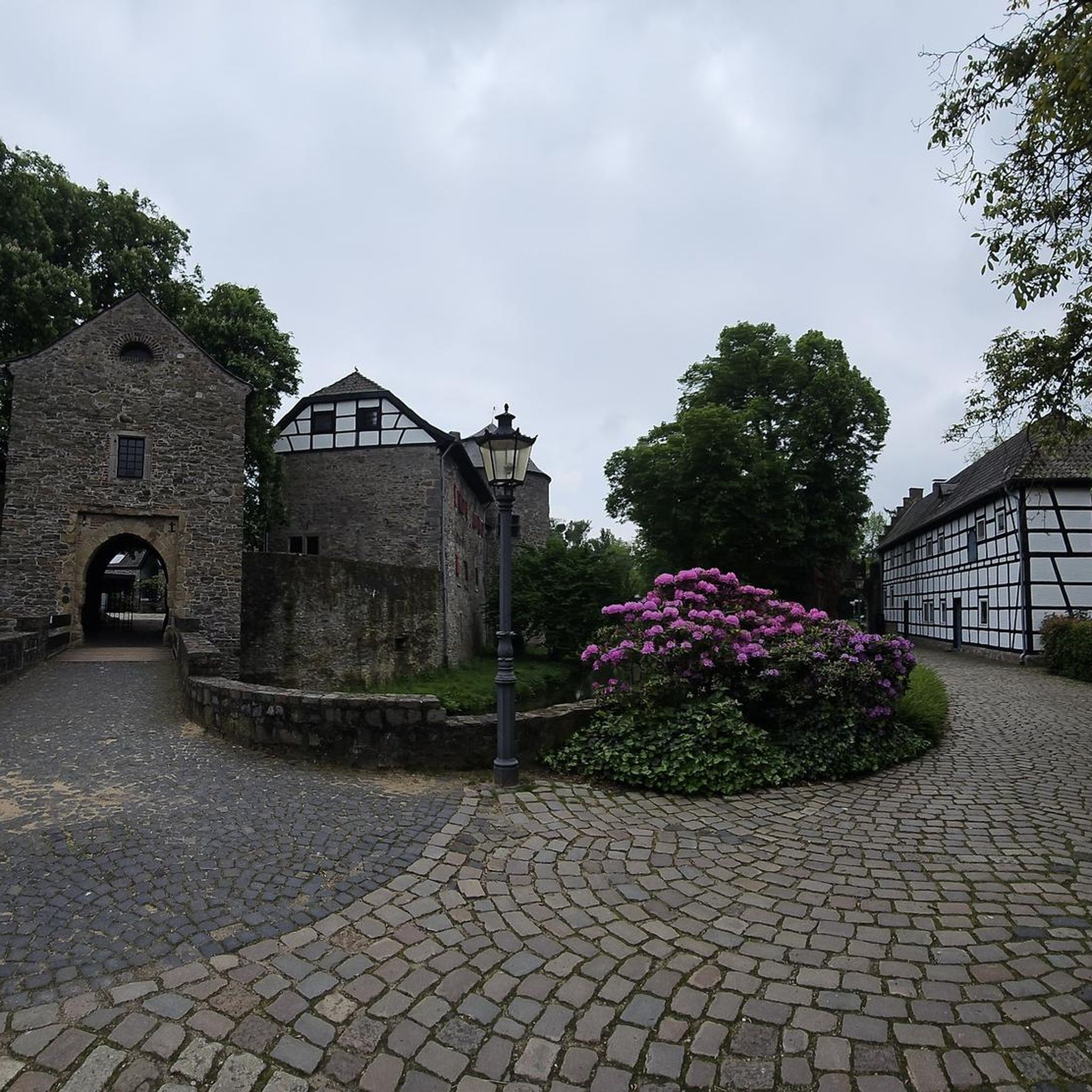
Yes, the region around Lay-Saint-Remy has several historical and cultural points of interest. You might consider visiting the impressive Saint Stephen's Cathedral, Toul, the historic town of Vaucouleurs, or the Vauban Fortifications in Toul, which are all within reach of the running areas.
What is the longest running route available in this guide?
Among the routes highlighted in this guide, the longest is a Running loop from Foug, which spans 13.4 km (8.3 miles). This moderate path includes some gentle climbs, offering a good challenge for a longer run.
Are there any routes that are particularly good for a steady, moderate run?
For a steady, moderate run, the Running loop from Foug is an excellent choice. It's a 9.3 km (5.8 miles) trail with minimal elevation gain, typically taking about 1 hour to complete at a consistent pace.
What kind of elevation changes can I expect on the running trails?
Most running trails around Lay-Saint-Remy feature minimal to gentle elevation changes. While some routes are relatively flat, others, like the 13.4 km Running loop from Foug, include moderate climbs of around 117 meters, providing varied terrain without being overly strenuous.
Are there any running routes that connect different villages or communities?
Yes, many of the routes in Lay-Saint-Remy are designed to connect local villages and communities, allowing you to experience the regional character. These paths often traverse rural landscapes between settlements, offering a glimpse into local life.
Most popular routes around Lay-Saint-Remy
Most popular attractions around Lay-Saint-Remy

Get inspired with the komoot mobile app


Explore more
Browse the best Running Trails & Routes in other regions.
