The best road cycling routes around Lay-Saint-Remy
4.5
(99)
2,178
riders
172
rides
Road cycling around Lay-Saint-Remy, located in the Meurthe-et-Moselle department of north-eastern France, features a landscape characterized by agricultural plateaus, forest valleys, and waterways. The region is part of the Grand Est region and includes significant marshland areas like the Marais de Lay-St-Rémy. Road cycling routes often follow the V52 canal route and the Moselle River, providing varied terrain for cyclists.
Best road cycling routes around Lay-Saint-Remy
- The most popular road cycling route is Blenod les Toul – Saint-Gengoult Church of…
Last updated: July 2, 2026
5.0
(2)
42
riders
49.4km
02:08
360m
360m
Moderate road ride. Good fitness required. Mostly well-paved surfaces and easy to ride.
9
riders
43.5km
01:51
310m
310m
Moderate road ride. Good fitness required. Mostly well-paved surfaces and easy to ride.

Sign up for free
10
riders
96.0km
04:13
820m
820m
Moderate road ride. Good fitness required. Mostly well-paved surfaces and easy to ride.
9
riders
45.7km
01:50
180m
180m
Easy road ride. Great for any fitness level. Mostly well-paved surfaces and easy to ride.
5
riders
82.9km
03:28
550m
550m
Moderate road ride. Good fitness required. Mostly well-paved surfaces and easy to ride.
Get access to more routes and recommendations from other explorers.
Sign up for free
Already have an account?
Our route recommendations are based on thousands of hikes, rides, and runs completed by other people on komoot.
Start today with a free account
Your next adventure awaits.
Login or Signup


Tips from the Community

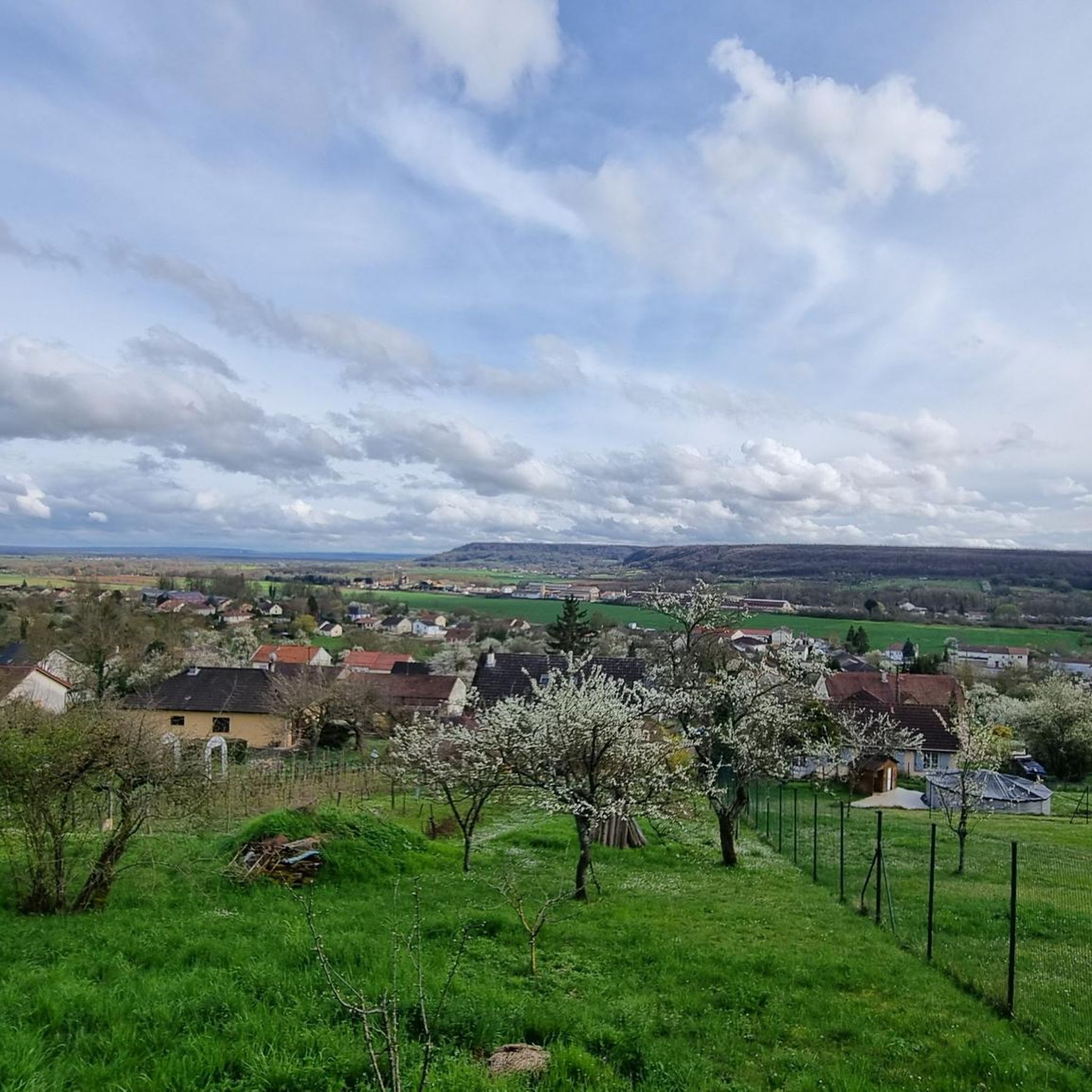
In addition to its rich heritage marked by the Gothic-style Saint-Étienne Cathedral, Toul is known for its AOC Côtes de Toul wines. Among them, the star is undoubtedly the gris, recognizable by its pretty pink color.
1
0

Great places for a refreshing or gourmet stop. You can park your bikes without any problems, and enjoy the view and the calm from their terrace, on the banks of the Terroin basin.
1
0

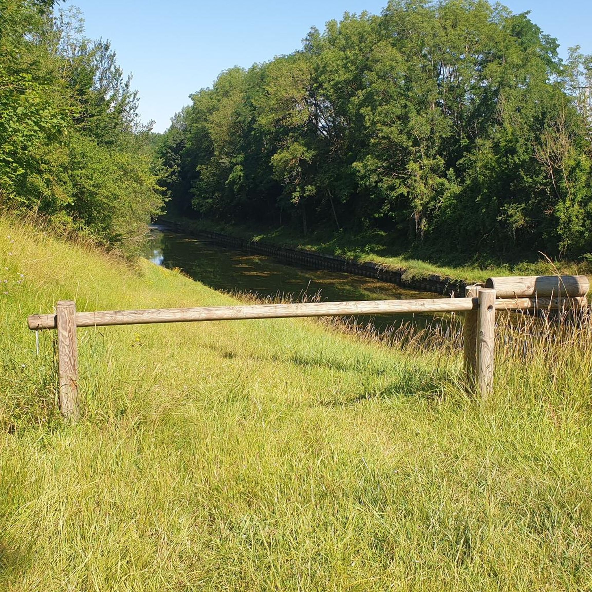
The Villey-le-Sec Dam offers a great mix of stunning scenery and challenges for road cyclists. Located on the Moselle River, you'll ride on well-maintained paths and enjoy views of this relaxing river.
1
0

A good steep hill for me, requires a bit of training to climb it, especially the second part.
0
0

An unusual church because of its shape (round). To the left of the gate there is a water tap.
0
0

The lock and dam are managed by Voies Navigables de France. Construction of the hydroelectric power plant began in May 1986. It is attached to the dam. As the name suggests, the structure is used to generate electricity by taking advantage of the waterfall caused by the dam. The power plant does not operate during periods of high or low water. It is managed by EDF. [https://www.villeylesec.fr/L-ecluse-et-le-barrage?lang=fr]
3
0

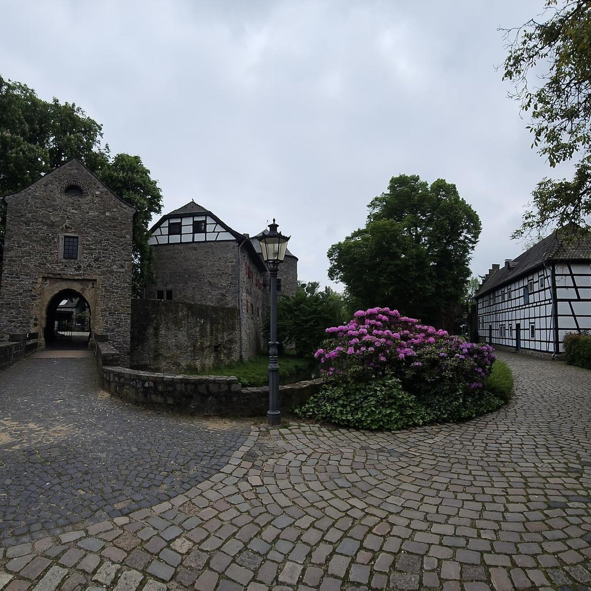
The old abbey of Rangéval is a former Premonstratensian monastery founded in the 12th century. You will be able to admire the remains of classical architecture, such as the cloister, the chapter house and the abbey house, as well as the impressive wall which surrounds the abbey.
2
0
Frequently Asked Questions
What kind of terrain can I expect on road cycling routes around Lay-Saint-Remy?
Road cycling around Lay-Saint-Remy features a diverse landscape, characterized by agricultural plateaus, forest valleys, and waterways. Many routes follow the V52 canal route and the Moselle River, offering a mix of flat sections along towpaths and gentle ascents through the countryside. The region is also home to significant marshland areas like the Marais de Lay-St-Rémy, providing unique natural scenery.
Are there road cycling routes suitable for beginners or families in Lay-Saint-Remy?
Yes, Lay-Saint-Remy offers several easy road cycling routes perfect for beginners or families. The V52 canal route, for instance, largely follows towpaths, making it accessible even for those new to road cycling. Overall, there are over 25 easy routes available in the area, providing gentle gradients and scenic views.
What are some longer or more challenging road cycling routes in the area?
For those seeking a greater challenge, Lay-Saint-Remy and its surroundings offer numerous moderate to difficult routes. You can explore longer loops such as the Canal Path (La Voie Bleue) – Villey-le-Sec Hill loop from Foug, which covers over 105 km with significant elevation gain. There are over 90 moderate and 30 difficult routes to choose from, often venturing into the broader Meurthe-et-Moselle department and the Lorraine Regional Nature Park.
What are some scenic viewpoints or natural attractions to see while cycling?
The region offers several scenic spots. The Marais de Lay-St-Rémy et Pagny-sur-Meuse is a significant marshland area with a pedagogical trail, offering unique biodiversity. Cycling along the Moselle River provides picturesque views, and the broader Lorraine Regional Nature Park features diverse landscapes including forest valleys and wetland prairies. While cycling, you might also pass by cultural landmarks such as Saint Stephen's Cathedral, Toul or the Vauban Fortifications, Toul.
Are there any circular road cycling routes available?
Yes, many road cycling routes around Lay-Saint-Remy are designed as loops, allowing you to start and end at the same point. Examples include the popular Blenod les Toul – Saint-Gengoult Church of Toul loop from Lay-Saint-Remy, a 49.5 km route, or the shorter Roadbike loop from Foug, which is 42.3 km. These loops are ideal for exploring the local countryside and connecting to nearby towns.
What is the best season for road cycling in Lay-Saint-Remy?
The best seasons for road cycling in Lay-Saint-Remy are typically spring, summer, and early autumn. During these months, the weather is generally mild and pleasant, making for comfortable rides. The natural landscapes, including the marshlands and riverbanks, are particularly vibrant and green. While winter cycling is possible, be prepared for colder temperatures and potentially wet conditions.
Where can I find parking for road cycling routes in Lay-Saint-Remy?
While specific parking areas for each route are not detailed, Lay-Saint-Remy is a small commune, and parking is generally available within the village or at trailheads for major routes like those along the V52 canal. For routes starting in nearby towns like Foug or Toul, designated parking facilities are usually available. It's advisable to check local signage upon arrival.
What do other road cyclists say about the routes in Lay-Saint-Remy?
The road cycling routes in Lay-Saint-Remy are highly regarded by the komoot community, with an average rating of 4.2 stars from over 85 reviews. Cyclists often praise the varied terrain, the peaceful atmosphere along the canal paths, and the well-maintained surfaces. Many appreciate the blend of natural beauty and historical sites accessible from the routes.
Are there opportunities to combine road cycling with other outdoor activities?
Absolutely. The wider Meurthe-et-Moselle area and the Lorraine Regional Nature Park offer a range of outdoor activities. Beyond cycling, you can find numerous marked paths for hiking, opportunities for canoeing, fishing, and bird watching, especially in wetland areas like the Marais de Lay-St-Rémy. The region's focus on green tourism makes it ideal for a multi-activity outdoor getaway.
Can I access these road cycling routes using public transport?
Lay-Saint-Remy is a small commune, so direct public transport access might be limited. However, the region is well-connected by cycling networks. The V52 canal route and the Moselle Loop are part of larger regional and national cycling networks. For information on public transport options to nearby larger towns like Toul, which is about 11 km away, it's best to consult local transport authorities.
Are there any cafes or places to stop for refreshments along the road cycling routes?
While Lay-Saint-Remy itself is a small village, many road cycling routes connect to nearby towns and villages where you can find cafes, bakeries, and restaurants. For example, routes passing through or near Toul will offer various options for refreshments. It's a good idea to plan your route and check for amenities in the towns you'll be passing through, especially on longer rides.
How many road cycling routes are available around Lay-Saint-Remy?
There are over 150 road cycling routes available around Lay-Saint-Remy, catering to various skill levels and preferences. This extensive network ensures that whether you're looking for a short, easy ride or a challenging, long-distance tour, you'll find suitable options.
Most popular routes around Lay-Saint-Remy
Most popular attractions around Lay-Saint-Remy

Get inspired with the komoot mobile app


Explore more
Browse the best Road cycling routes in other regions.
