The best walks and hikes around Lay-Saint-Remy
4.5
(82)
551
hikers
77
hikes
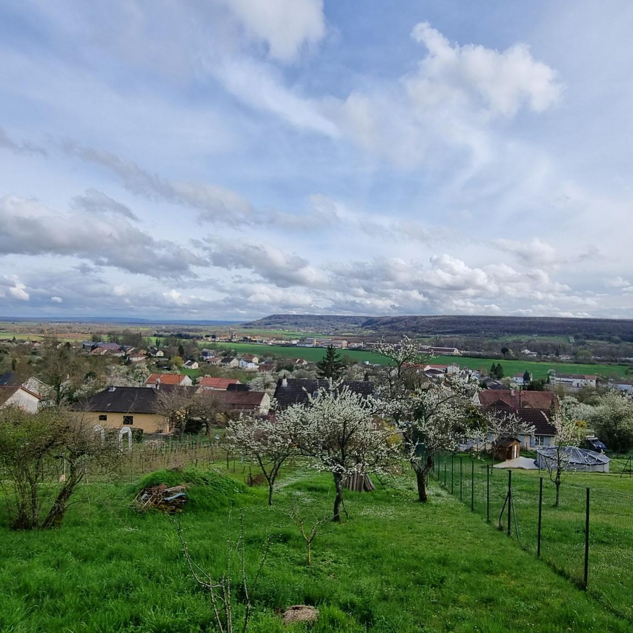
Hiking around Lay-Saint-Remy offers a variety of trails through the rural landscape of the Meuse department. The region is characterized by rolling hills, agricultural fields, and patches of woodland, providing diverse scenery for outdoor activities. These hiking trails Lay-Saint-Remy often feature historical points of interest and views over the surrounding countryside. The area provides opportunities for both leisurely walks and more challenging hikes.
Best hiking trails around Lay-Saint-Remy
- The most popular hiking route is Choloy Castle – View of Choloy-Ménillot…
Last updated: August 29, 2026
4.0
(1)
15
hikers
7.79km
02:06
100m
100m
Moderate hike. Good fitness required. Easily-accessible paths. Suitable for all skill levels.
4.0
(2)
14
hikers
7.20km
01:56
90m
90m
Hard hike. Great for any fitness level. Sure-footedness, sturdy shoes and alpine experience required.

Sign up for free
3.3
(3)
5
hikers
15.1km
04:04
200m
200m
Moderate hike. Good fitness required. Easily-accessible paths. Suitable for all skill levels.
5.0
(1)
4
hikers
7.15km
01:59
130m
130m
Easy hike. Great for any fitness level. Easily-accessible paths. Suitable for all skill levels.
3
hikers
Easy hike. Great for any fitness level. Easily-accessible paths. Suitable for all skill levels.
Get access to more routes and recommendations from other explorers.
Sign up for free
Already have an account?
Our route recommendations are based on thousands of hikes, rides, and runs completed by other people on komoot.
Start today with a free account
Your next adventure awaits.
Login or Signup


Tips from the Community

Located right next to the town hall and the bus stop. Good connection to Toul.
0
0

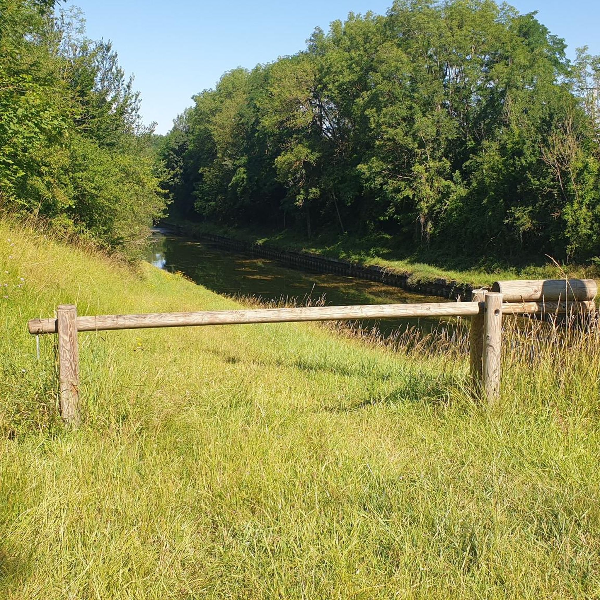
The railway no longer exists, the locomotives have been distributed throughout the region, and the rails are being dismantled.
0
0

do not fall
0
0

The Ecrouves plateau is part of the Natura 2000 site (protected natural area) of the lawns of Toulois, identical to the Côte Barine and the Domgermain plateau. Located on the coasts of Toul, these dry meadows on limestone, on a hillside or plateau, were formerly used for sheep grazing. This extensive use has allowed many species to find refuge there: orchids, butterflies, lizards, amphibians, bats, some of which are protected in France and Europe.
1
0
From there you have a beautiful view towards the south and south-east, for example over Toul. A sign indicates the direction to different landmarks.
3
0

B&B is offered here with quite good reviews
4
0
Little used path to Saint Jacques on the route to Santiago
5
0

It is the center of Choloy-Ménillot. Here you find the town hall to obtain the pilgrimage stamp on the road to Saint Jacques de Compostelle.
4
0
Frequently Asked Questions
How many hiking trails are available around Lay-Saint-Remy, and what are their difficulty levels?
There are over 70 hiking routes around Lay-Saint-Remy. These include 28 easy trails, 30 moderate routes, and 13 more challenging hikes, offering options for all fitness levels.
Are there many circular hiking routes in the Lay-Saint-Remy area?
Yes, many of the trails around Lay-Saint-Remy are designed as circular routes, allowing you to start and end at the same point without needing to retrace your steps. For example, the Choloy Castle – View of Choloy-Ménillot loop from Choloy-Ménillot is a popular moderate circular option.
Are there family-friendly hiking options suitable for children around Lay-Saint-Remy?
Yes, Lay-Saint-Remy offers several easy trails perfect for families. These routes typically feature gentle terrain and shorter distances, making them enjoyable for all ages. Consider the Val de Passey Railway – View of Choloy-Ménillot loop from Choloy-Ménillot for a pleasant easy walk.
What kind of scenery can I expect on hikes around Lay-Saint-Remy?
The region is characterized by rolling hills, agricultural fields, and patches of woodland. You'll often find diverse scenery with historical points of interest and views over the surrounding countryside.
What do other hikers enjoy the most about hiking in Lay-Saint-Remy?
The area is highly rated by the komoot community, with an average score of 4.5 stars from over 80 reviews. Hikers often praise the varied terrain, the peaceful rural landscape, and the well-maintained paths that offer both leisurely strolls and more demanding routes.
Are there any historical landmarks or points of interest to see along the trails?
Yes, many routes incorporate historical points of interest. For example, the Val de Passey Railway loop from Foug leads along historical railway paths. Nearby attractions include the impressive Saint Stephen's Cathedral, Toul and the Vauban Fortifications, Toul.
What is the typical duration for hikes in Lay-Saint-Remy?
Hike durations vary significantly depending on the route's length and difficulty. Easy trails can take around 1.5 to 2 hours, while longer, more challenging routes like the Val de Passey Railway loop from Foug can take over 4 hours to complete.
Are dogs allowed on the hiking trails around Lay-Saint-Remy?
Generally, dogs are welcome on the hiking trails in the Lay-Saint-Remy area, especially in the rural and woodland sections. It's always recommended to keep your dog on a leash, especially near agricultural fields or in areas where wildlife might be present.
Are there any easy routes for beginners or those looking for a relaxed walk?
Absolutely. There are 28 easy trails around Lay-Saint-Remy, perfect for beginners or those seeking a relaxed stroll. An example is the Baguette Vending Machine – Choloy-Ménillot loop from Choloy-Ménillot, which offers a gentle path through the local landscape.
What is the best time of year to go hiking in Lay-Saint-Remy?
The spring and autumn months are generally ideal for hiking in Lay-Saint-Remy, offering pleasant temperatures and beautiful natural colors. Summer can also be enjoyable, though it's advisable to start early to avoid the midday heat. Winter hikes are possible, but some paths might be muddy or slippery.
Are there any hikes with particularly scenic views in the region?
Many trails offer scenic views over the surrounding countryside, characterized by rolling hills and agricultural fields. The Choloy Castle – View of Choloy-Ménillot loop from Choloy-Ménillot is known for its views over the surrounding area.
Where can I find parking for the hiking trails in Lay-Saint-Remy?
Parking is typically available at the start points of many popular trails, often in or near the villages. It's advisable to check the specific route details on komoot for designated parking areas or suitable roadside parking options.
Most popular routes around Lay-Saint-Remy
Most popular attractions around Lay-Saint-Remy

Get inspired with the komoot mobile app


Explore more
Browse the best Hikes in other regions.
