The best running trails around Roche-Charles-La-Mayrand
4.3
(9)
576
runners
43
runs
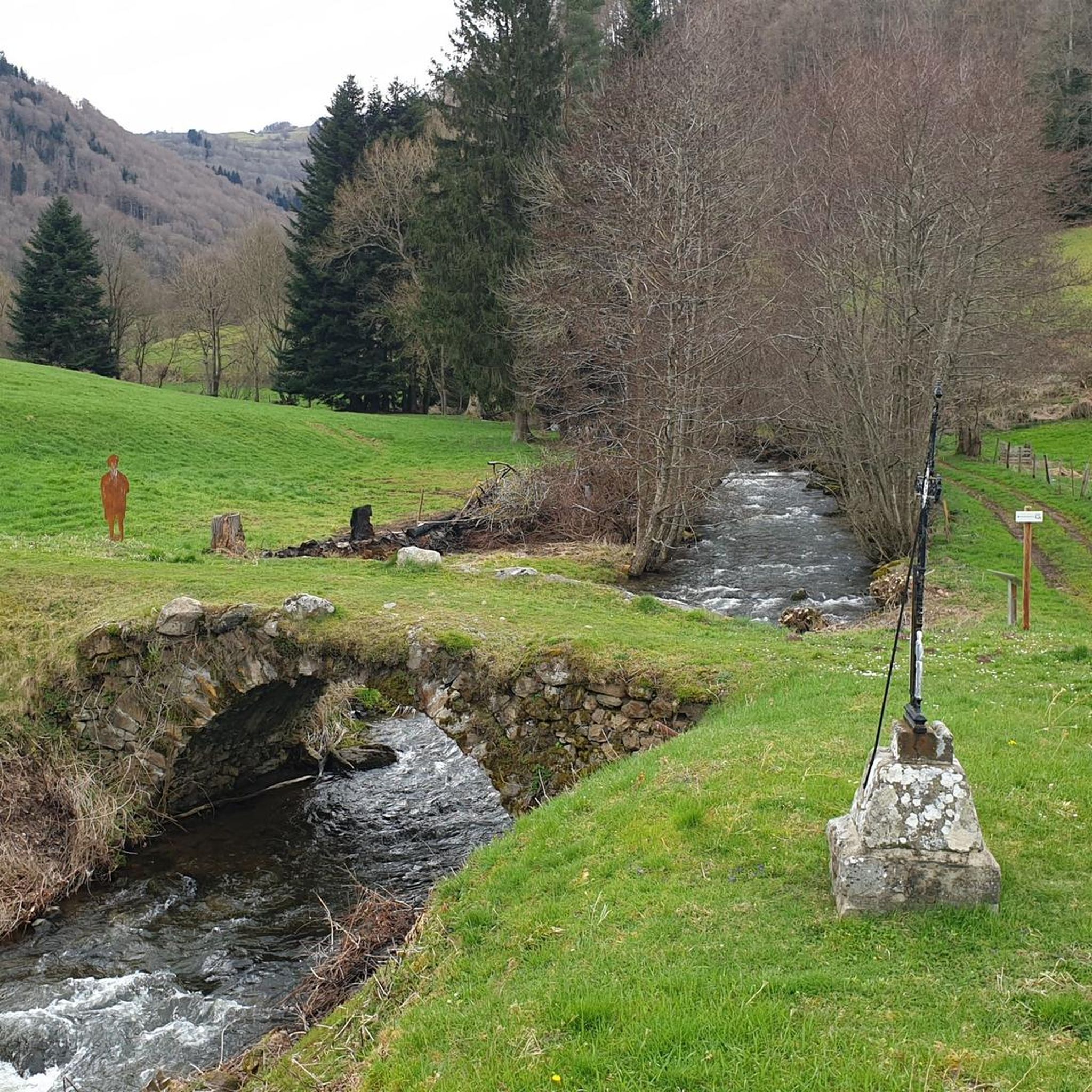
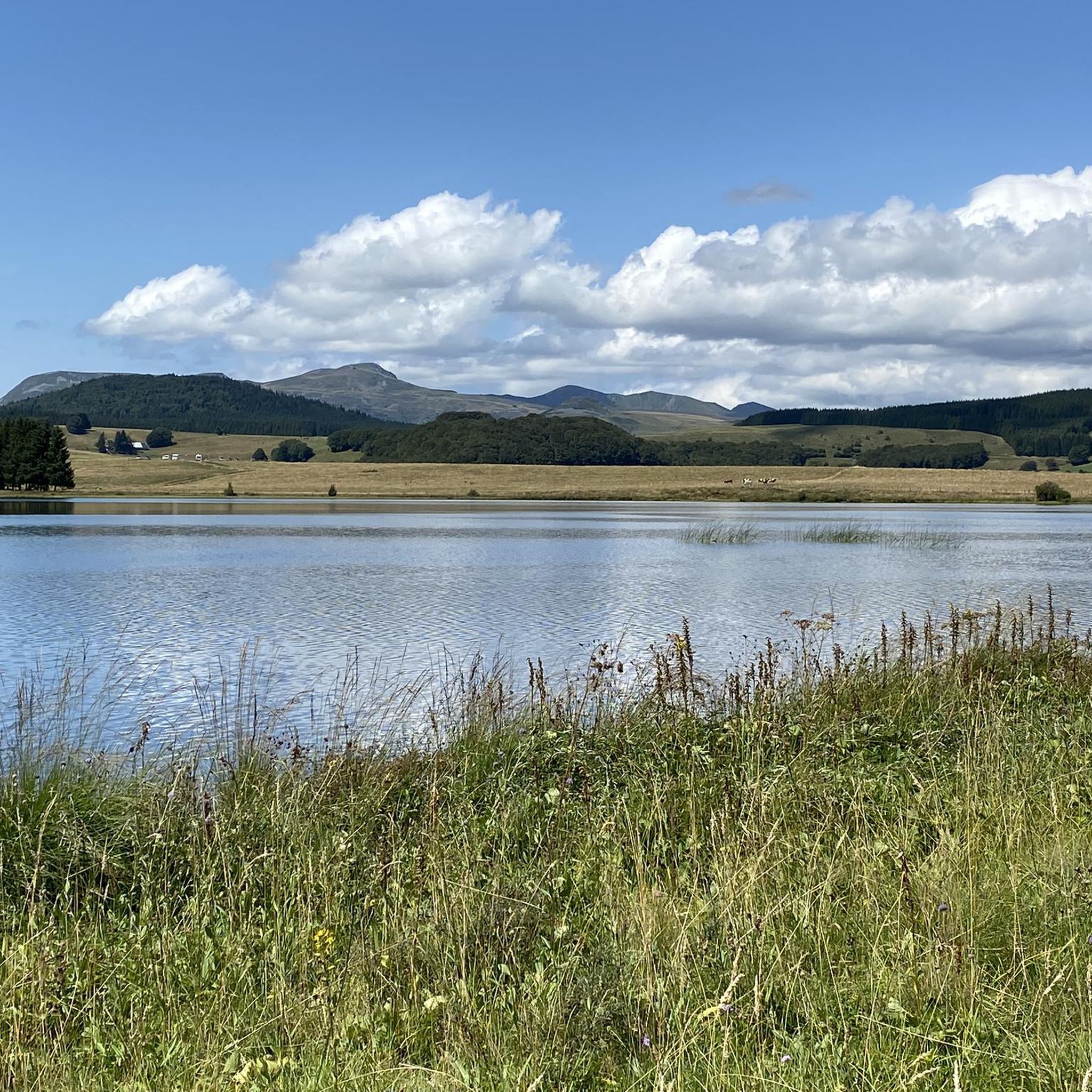
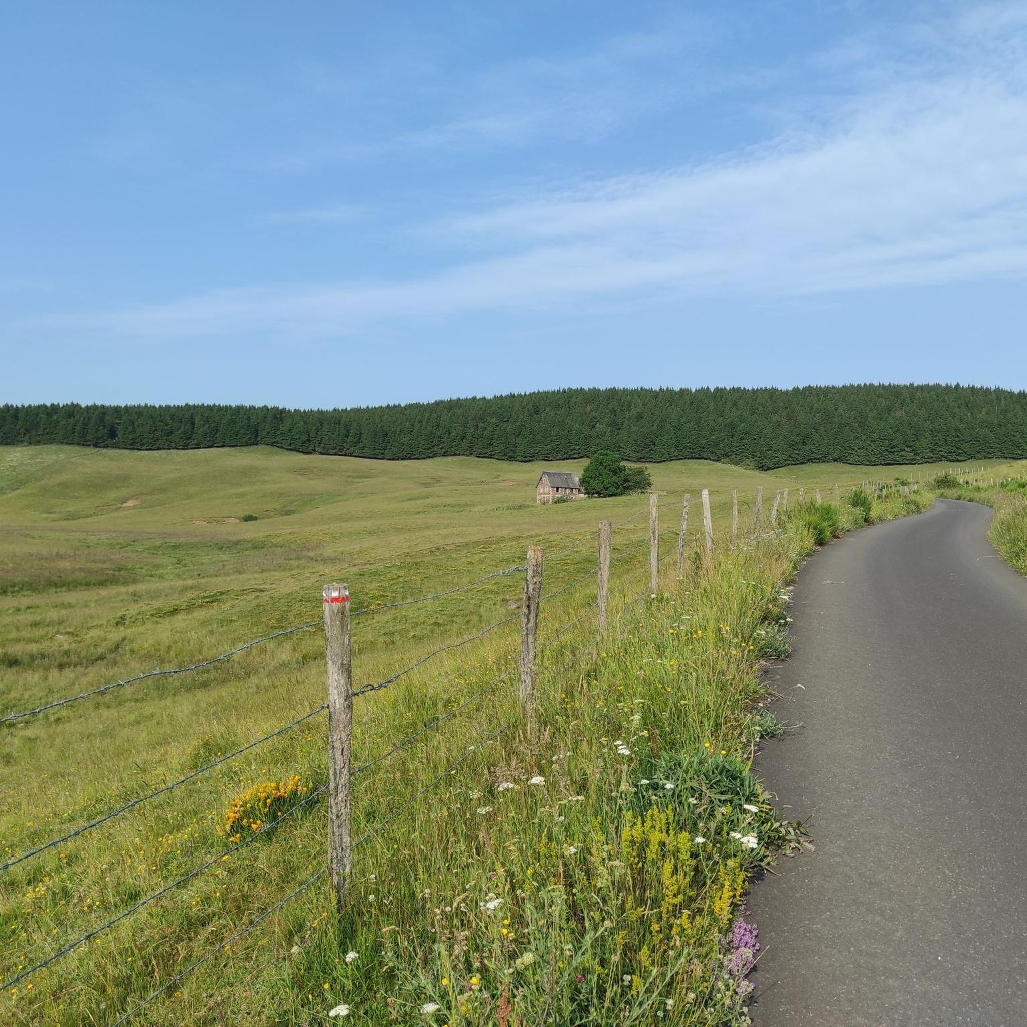
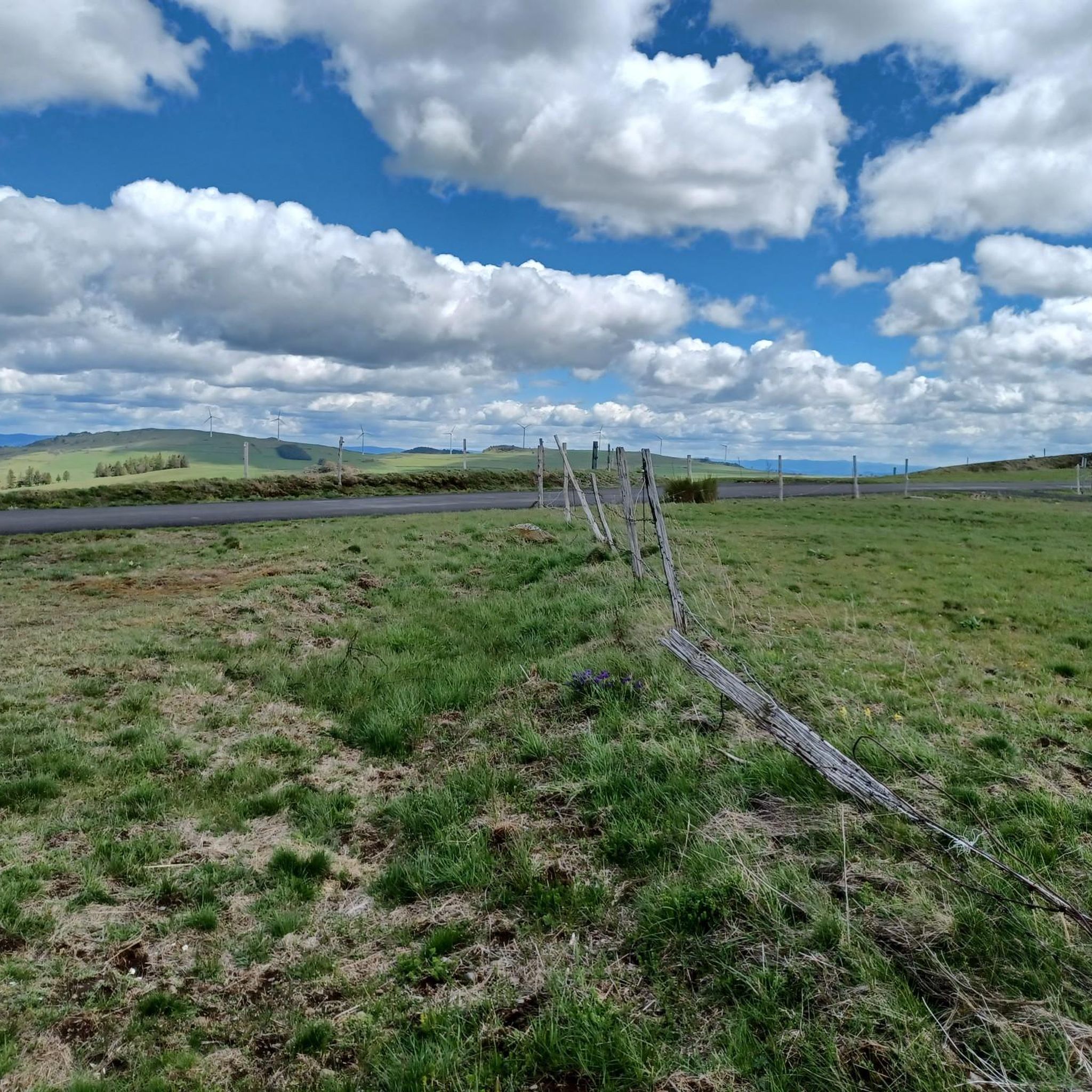
Jogging routes around Roche-Charles-La-Mayrand traverse a high-altitude setting, characterized by a rugged environment of dark forests, cool valleys, and open plateaus. The region is situated in the Cézallier plateau, offering diverse landscapes shaped by ancient glaciations and volcanic activity. Runners can experience routes through prairies, past wind turbines, and alongside grazing Salers cattle, with many trails providing views of the Gorges du Sault and the Chaîne des Puys.
Best jogging routes around Roche-Charles-La-Mayrand
- The most popular jogging route is Saurier…
Last updated: June 29, 2026
20
runners
20.0km
02:55
1,030m
1,030m
Hard run. Very good fitness required. Mostly paved surfaces. Suitable for all skill levels.
5
runners
16.6km
02:23
830m
830m
Hard run. Very good fitness required. Sure-footedness, sturdy shoes and alpine experience required.

Sign up for free
11
runners
13.2km
01:56
710m
710m
Hard run. Very good fitness required. Mostly paved surfaces. Suitable for all skill levels.
3.0
(1)
5
runners
8.56km
01:03
160m
160m
Moderate run. Good fitness required. Mostly paved surfaces. Suitable for all skill levels.
3
runners
11.8km
01:49
570m
570m
Hard run. Very good fitness required. Sure-footedness, sturdy shoes and alpine experience required.
Get access to more routes and recommendations from other explorers.
Sign up for free
Already have an account?
Our route recommendations are based on thousands of hikes, rides, and runs completed by other people on komoot.
Start today with a free account
Your next adventure awaits.
Login or Signup

Frequently Asked Questions
How many running routes are available around Roche-Charles-La-Mayrand?
There are over 45 dedicated jogging and running routes in the Roche-Charles-La-Mayrand area. These range from easy paths to more challenging trails, offering a variety of experiences for all fitness levels.
What kind of landscapes can I expect while running in this region?
Runners can expect a diverse high-altitude landscape, featuring dark forests, cool valleys, and open, windswept plateaus. You'll encounter prairies, wind turbines, and grazing Salers cattle, with many routes offering dramatic views of the Gorges du Sault, the Chaîne des Puys, and the Massif du Sancy.
Are there any easy jogging routes suitable for beginners or a relaxed pace?
While many routes are moderate to difficult, there are some easier paths available. The region's diverse network includes options for different ability levels, ensuring that beginners can find suitable trails to enjoy the scenery.
What are some of the longer, more challenging running trails in Roche-Charles-La-Mayrand?
For those seeking a challenge, routes like the Saurier – La Couze, Springs Circuit loop from Saurier offer significant elevation gain over 13 miles (20.9 km), traversing volcanic landscapes. Another demanding option is the La Couze, Springs Circuit – Saurier loop from Saurier, which spans over 33 km.
What do other runners enjoy most about the trails here?
The running routes in Roche-Charles-La-Mayrand are highly rated by the komoot community, with an average score of 4.75 stars from 10 reviews. Runners often praise the varied terrain, expansive views, and the unique experience of running through volcanic landscapes and past natural features like the Gorges du Sault.
Are there any family-friendly running options or routes with accessible paths?
Some routes feature mostly paved surfaces and accessible paths, which can be suitable for families or those looking for less rugged terrain. While specific 'family-friendly' routes are not detailed, the variety of trails means you can find paths that match your family's fitness level.
What kind of terrain should I expect on the running trails?
The terrain varies significantly. You'll find routes with mostly paved surfaces and accessible paths, ideal for jogging. However, many trails involve more rugged terrain, including volcanic rocks, requiring good fitness and sure-footedness. Expect a mix of forest paths, open prairies, and high-altitude plateaus.
Are there any notable natural attractions or landmarks along the running routes?
Absolutely! Many routes offer views of the dramatic Gorges du Sault. You can also explore nearby natural monuments such as Lake Pavin, the Mottes Cliffs, and the unique Fairy Chimneys of the Vallon des Fosses.
What historical or cultural sites can I visit near the running trails?
The area is rich in history. A primary attraction is the ancient Romanesque Chapel of Roche-Charles, perched dramatically above the Sault river gorges. Charming villages like Besse and Saint-Floret, known for its ruined castle, are also within reach.
Are there circular running routes available?
Yes, many of the running routes in Roche-Charles-La-Mayrand are designed as loops, offering circular journeys. Examples include the Saurier loop from Saurier and the La Couze, Springs Circuit loop from Courgoul, allowing you to start and finish at the same point.
What is the typical duration for a running route in this region?
Running route durations vary widely depending on distance and difficulty. For instance, the 8.8-mile (14.2 km) Saurier loop from Saurier typically takes about 1 hour 47 minutes, while longer routes can extend to several hours.
Can I bring my dog on the running trails?
While specific regulations for dogs on trails are not provided, many outdoor areas in France are dog-friendly, especially on leash. It's always recommended to check local signage or park rules for specific trails to ensure a pleasant experience for both you and your pet.
Most popular routes around Roche-Charles-La-Mayrand
Most popular attractions around Roche-Charles-La-Mayrand

Get inspired with the komoot mobile app


Explore more
Browse the best Running Trails & Routes in other regions.
