The best road cycling routes around Roche-Charles-La-Mayrand
4.9
(29)
694
riders
39
rides
Road cycling routes around Roche-Charles-La-Mayrand traverse the volcanic landscape of the Puy-de-Dôme department within the Massif Central. The terrain features significant elevation changes, including demanding mountain passes and high plateaus. Cyclists encounter dark forests, deep valleys, and open pastures, with routes often reaching altitudes above 1000 meters. This region offers varied and engaging routes for road cyclists.
Best road cycling routes around Roche-Charles-La-Mayrand
- The most popular road cycling route is La Godivelle – Chamaroux Pass loop from La Godivelle,…
Last updated: May 20, 2026
5.0
(2)
63
riders
49.6km
02:39
960m
960m
Hard road ride. Very good fitness required. Mostly well-paved surfaces and easy to ride.
5.0
(2)
23
riders
32.7km
01:37
530m
530m
Moderate road ride. Good fitness required. Mostly well-paved surfaces and easy to ride.

Sign up for free
10
riders
144km
07:20
2,480m
2,480m
Hard road ride. Very good fitness required. Mostly well-paved surfaces and easy to ride.
10
riders
36.0km
01:50
620m
620m
Moderate road ride. Good fitness required. Mostly well-paved surfaces and easy to ride.
9
riders
77.2km
03:57
1,230m
1,230m
Hard road ride. Very good fitness required. Mostly well-paved surfaces and easy to ride.
Get access to more routes and recommendations from other explorers.
Sign up for free
Already have an account?
Our route recommendations are based on thousands of hikes, rides, and runs completed by other people on komoot.
Start today with a free account
Your next adventure awaits.
Login or Signup

Tips from the Community


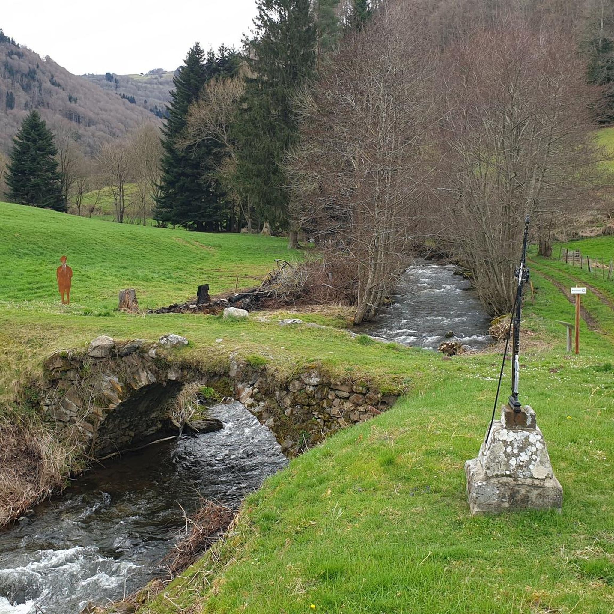
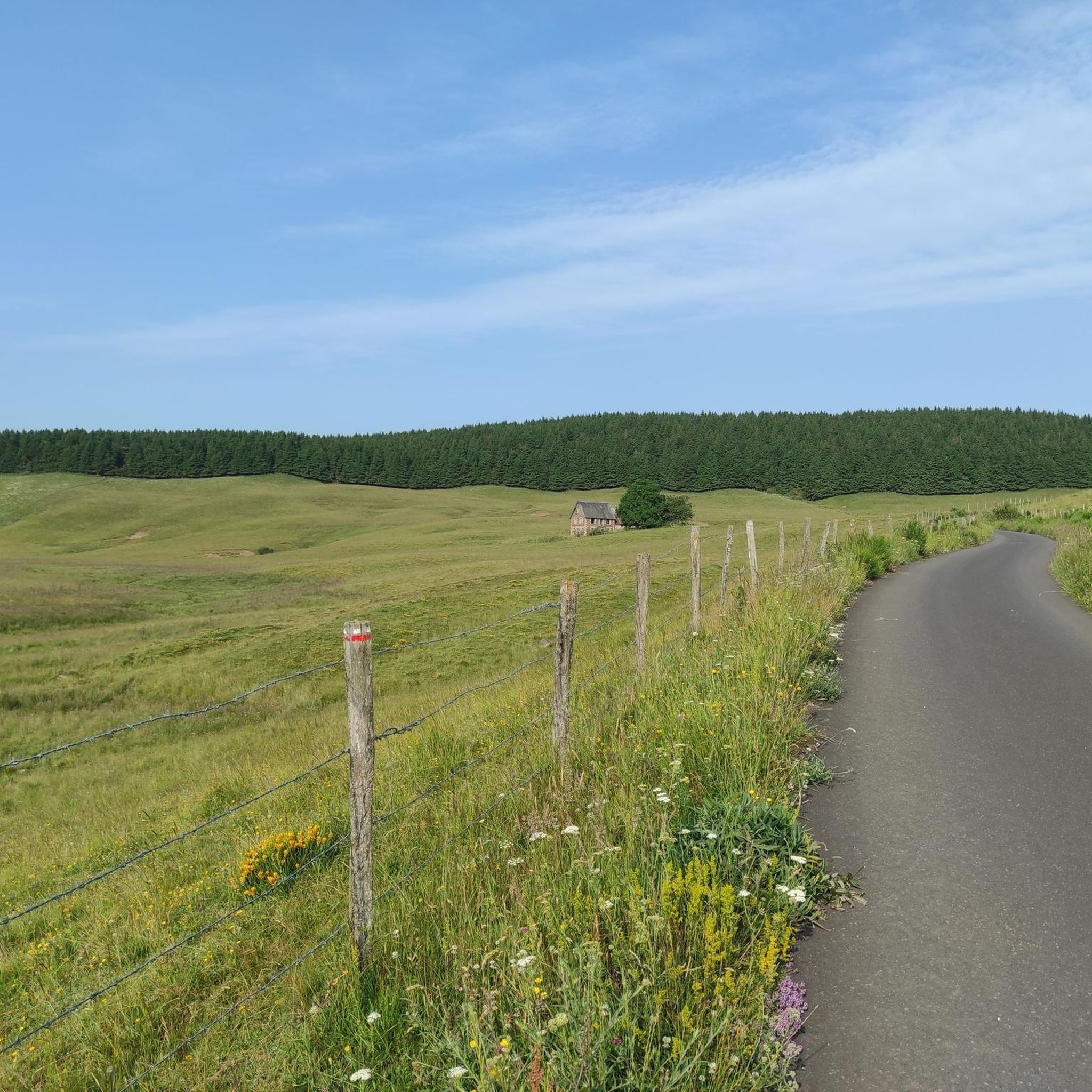
very pretty pass typical of Cezallier
1
0
Pleasant and fairly easy. Beautiful route.
0
0

Why didn't you make the Luguet signal? You have to go through Parrot... a place called. After the GR path... to the Luguet woods.
0
0
Not too difficult, I did it on a mountain bike.
0
0

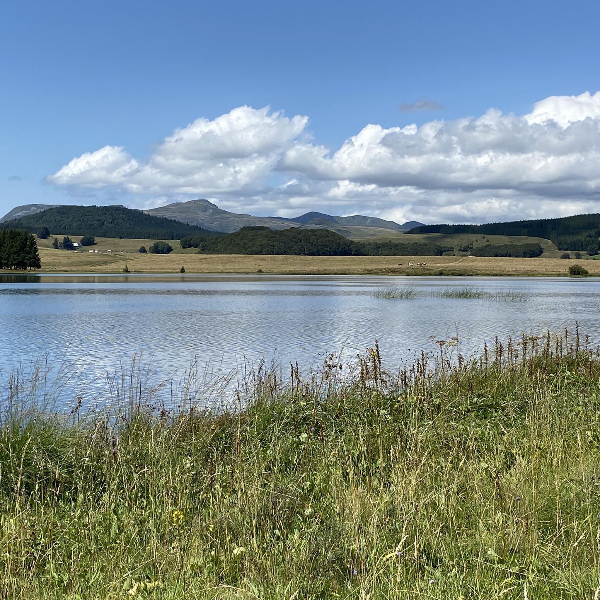
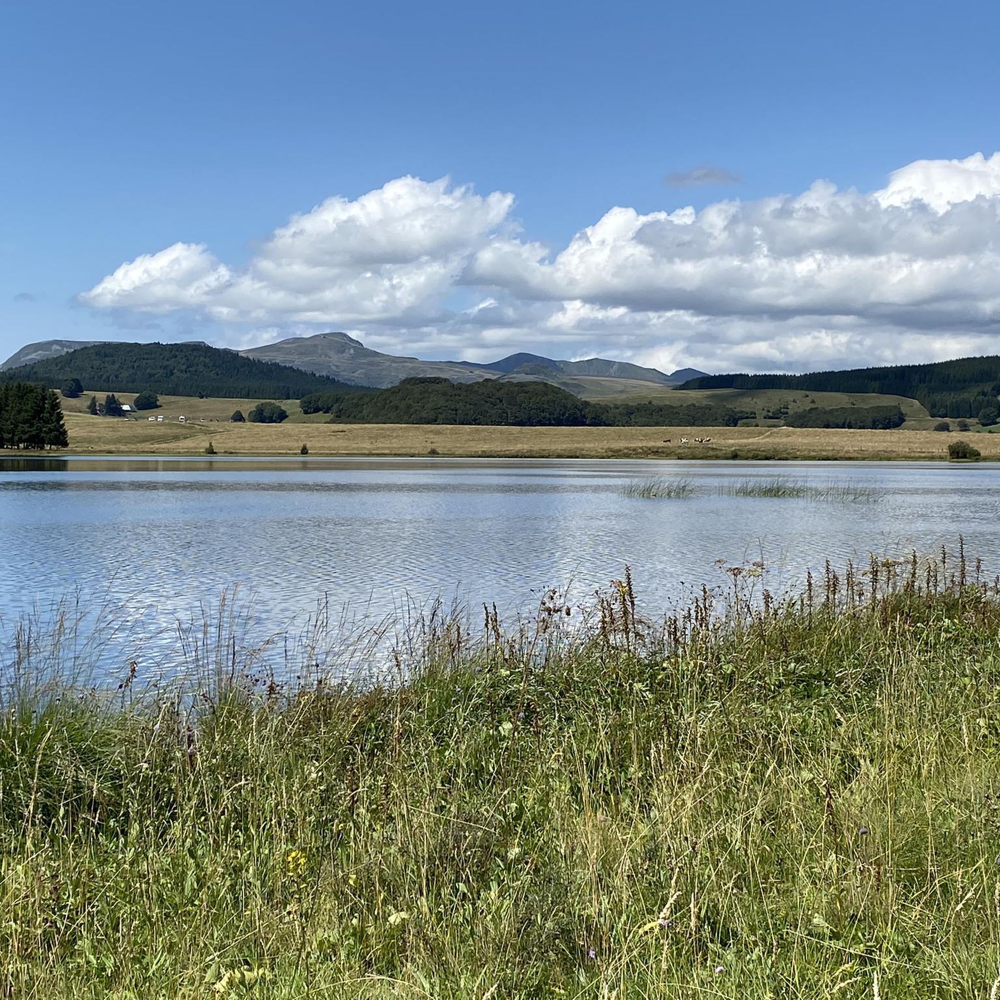
Surrounded by dense forests and steep cliffs, Lake Pavin is distinguished by its deep blue waters that reflect the surrounding vegetation. This enchanting setting, accessible by a trail, combines perfectly with breathtaking views of the lake and the surrounding mountains.
1
0

Frequently Asked Questions
How many road cycling routes are available around Roche-Charles-La-Mayrand?
There are over 40 road cycling routes available around Roche-Charles-La-Mayrand, offering a diverse range of experiences. These include 2 easy routes, 16 moderate routes, and 25 difficult routes, ensuring options for various skill levels.
What kind of terrain can I expect on road cycling routes in Roche-Charles-La-Mayrand?
The region is characterized by its volcanic landscape within the Massif Central, offering significant elevation changes. You can expect challenging mountain passes, high plateaus, dark forests, and deep valleys. Routes often reach altitudes above 1000 meters, providing both demanding climbs and exhilarating descents with stunning panoramic views of the Chaîne des Puys and Massif du Sancy.
What is the best time of year for road cycling in Roche-Charles-La-Mayrand?
The best time for road cycling in Roche-Charles-La-Mayrand is generally from late spring through early autumn. During these months, the weather is more favorable, with warmer temperatures and less chance of snow at higher altitudes. This allows for comfortable exploration of the region's challenging passes and scenic routes.
Are there road cycling routes suitable for beginners or less experienced cyclists?
Yes, while the region is known for its challenging terrain, there are options for less experienced cyclists. You can find 2 easy routes and 16 moderate routes. For example, the La Godivelle,lac d'en bas – La Godivelle loop from La Godivelle is a moderate 22.8 km trail that leads through the area around Lac d'en Bas.
Where can I find challenging road cycling climbs in the region?
For challenging climbs, focus on routes within the Massif du Sancy, which is part of the Puy-de-Dôme department. This area features several emblematic passes, such as the Col de la Croix-Morand and Col de la Croix Saint-Robert, known for significant elevation gains. Many of the 25 difficult routes in the region will provide substantial challenges, like the La Godivelle – Chamaroux Pass loop from Saint-Alyre-ès-Montagne, which covers 77.2 km with over 1200 meters of ascent.
Are there circular road cycling routes available?
Yes, many of the road cycling routes around Roche-Charles-La-Mayrand are circular, allowing you to start and end at the same point. Examples include the popular La Godivelle – Chamaroux Pass loop from La Godivelle, a 32.7 km moderate route, and the Château de Murol – Saillant Waterfall loop from Saint-Diéry.
What scenic viewpoints or landmarks can I discover along road cycling routes?
The region offers breathtaking vistas. You'll be treated to views of the Chaîne des Puys, the Massif du Sancy, and the Cézallier massif. The Chapel of Roche-Charles, perched on a rocky outcrop near the Gorges du Sault, is a notable landmark. Other natural highlights include Lake Pavin, Mottes Cliffs, and the Fairy Chimneys of the Vallon des Fosses.
Are there any cultural or historical sites to visit during a road cycling tour?
Absolutely. The area is rich in cultural and historical sites. You can visit picturesque villages like Besse and Saint-Floret (known for its ruined castle), or Saint-Nectaire with its impressive Romanesque church. The historic Château de Murol is also nearby and can be incorporated into a route.
What do other road cyclists enjoy the most about road cycling in Roche-Charles-La-Mayrand?
The road cycling experience in Roche-Charles-La-Mayrand is highly rated by the komoot community, with an average score of 4.7 stars from over 30 reviews. Cyclists frequently praise the region's challenging volcanic terrain, the stunning panoramic views, and the diverse routes that cater to different ability levels, from moderate loops to difficult, long-distance adventures.
Is public transport available for cyclists to reach Roche-Charles-La-Mayrand?
Roche-Charles-La-Mayrand is a rural commune, and direct public transport options specifically catering to cyclists with bikes might be limited. It's advisable to check regional bus services or train connections to larger towns in the Puy-de-Dôme department, such as Issoire, and then plan for a final leg by bike or car to reach the starting points of routes.
Are there options for family-friendly road cycling routes?
While many routes feature significant elevation, some of the easier and moderate routes can be suitable for families with older children or those seeking a less strenuous ride. Look for routes with lower elevation gains and shorter distances, such as the 2 easy routes available, to ensure a more enjoyable family experience.
Where can I find parking for cyclists in Roche-Charles-La-Mayrand?
In the small commune of Roche-Charles-La-Mayrand, parking is generally available in the village center or near key attractions. For specific route starting points, it's often possible to find roadside parking or designated small parking areas. Always ensure you park responsibly and do not obstruct local access.
Most popular routes around Roche-Charles-La-Mayrand
Most popular attractions around Roche-Charles-La-Mayrand

Get inspired with the komoot mobile app


Explore more
Browse the best Road cycling routes in other regions.
