The best running trails around Straufhain
4.5
(103)
942
runners
175
runs
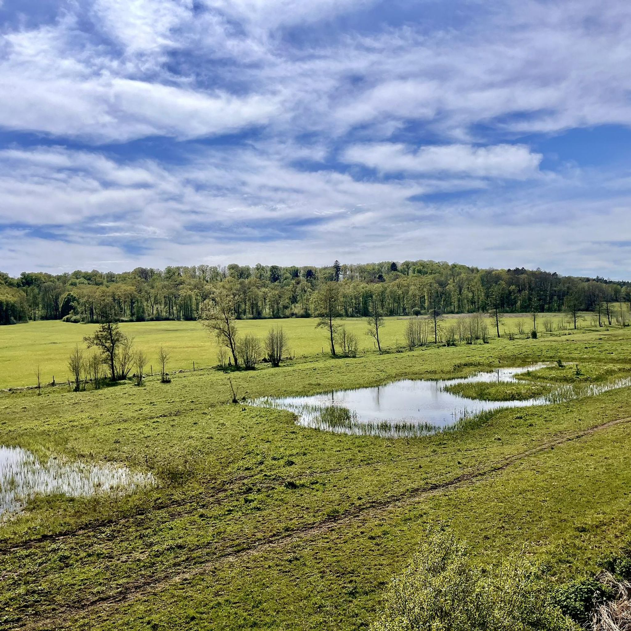
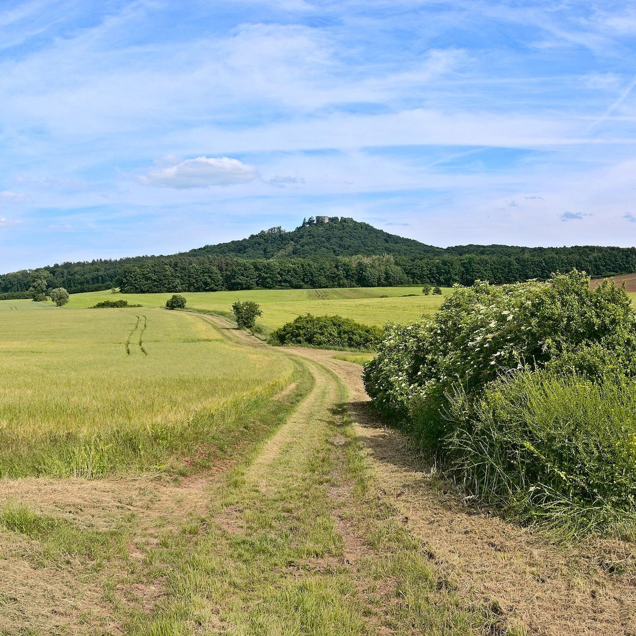
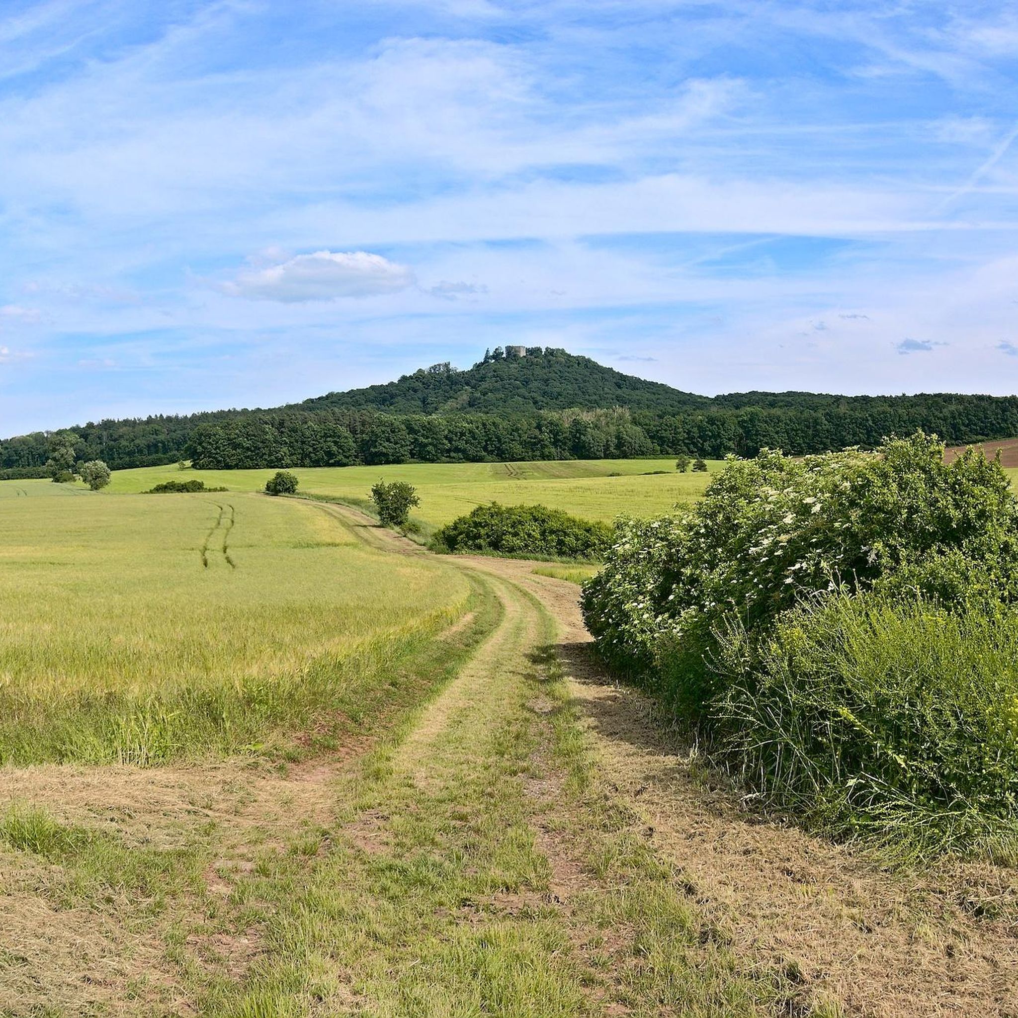
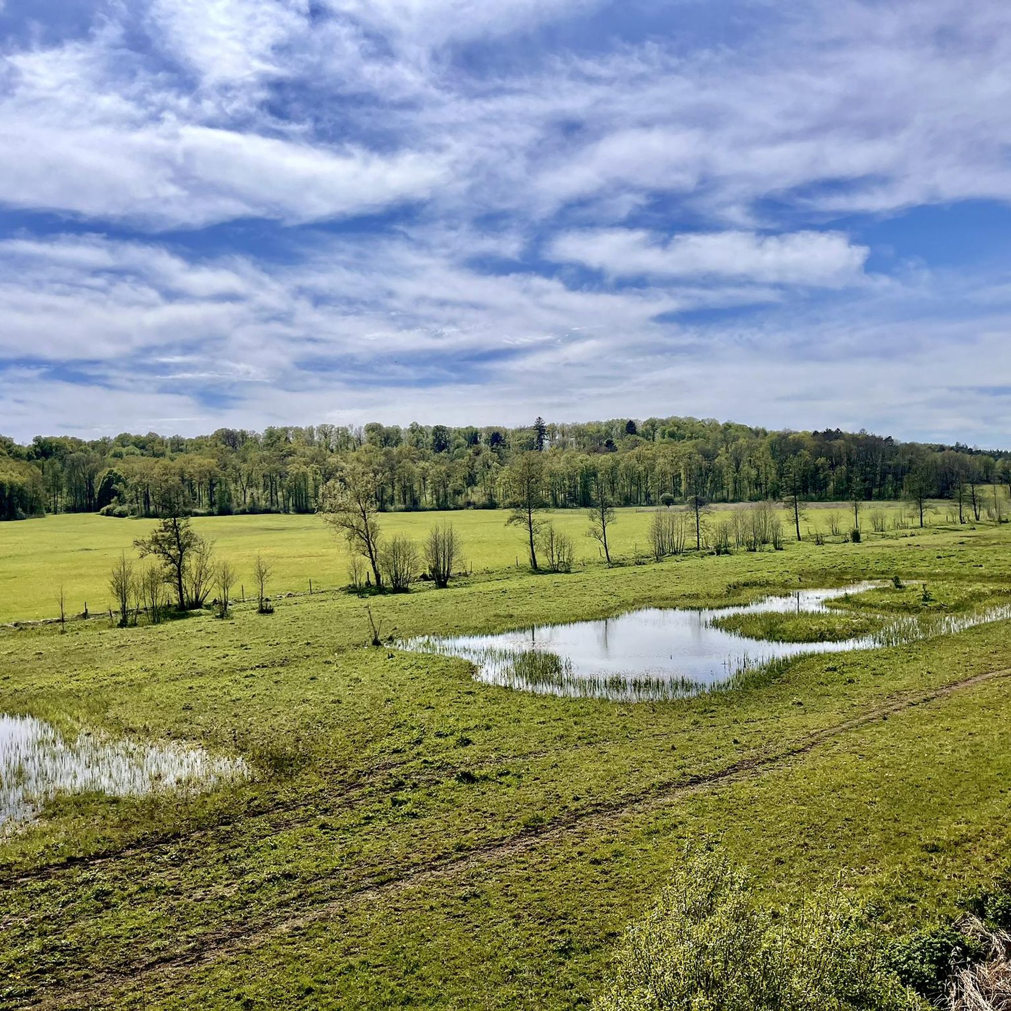
Jogging routes around Straufhain traverse a diverse landscape in Thuringia, Germany. The region is characterized by the prominent Straufhain mountain, which reaches 449 meters, and the scenic Rodachtal valley. An extensive network of trails provides varied terrain for runners, from challenging ascents to tranquil paths through natural reserves. The area also features sections of the historic Green Belt, offering a unique backdrop for outdoor activity.
Best jogging routes around Straufhain
- The most popular jogging route is Habichtskanzel Viewpoint – Frankenblick…
Last updated: May 13, 2026
5.0
(2)
40
runners
Hard run. Very good fitness required. Sure-footedness, sturdy shoes and alpine experience required.
5.0
(2)
10
runners
7.01km
00:47
60m
60m
Moderate run. Good fitness required. Mostly paved surfaces. Suitable for all skill levels.

Sign up for free
5.0
(1)
10
runners
9.50km
01:03
120m
120m
Moderate run. Good fitness required. Mostly paved surfaces. Suitable for all skill levels.
5.0
(1)
12
runners
7.35km
00:46
30m
40m
Moderate run. Good fitness required. Mostly paved surfaces. Suitable for all skill levels.
5.0
(2)
17
runners
11.1km
01:24
420m
420m
Hard run. Very good fitness required. Mostly paved surfaces. Suitable for all skill levels.
Get access to more routes and recommendations from other explorers.
Sign up for free
Already have an account?
Our route recommendations are based on thousands of hikes, rides, and runs completed by other people on komoot.
Start today with a free account
Your next adventure awaits.
Login or Signup

Tips from the Community

I simply loved the beautiful half-timbered houses, so I quickly took two photos and continued my walk through Bad Rodach 👍
0
1
A beautiful old half-timbered house that I only looked at briefly to take a few photos😊
0
1

The Evangelical Lutheran Church of St. Bartholomew in Stressenhausen, a district of the municipality of Straufhain in the Hildburghausen district (Thuringia), is a typical choir tower church dating from the Romanesque-Gothic period. The nave of the listed[1] building was built in 1719/20. Source: https://de.m.wikipedia.org/wiki/St._Bartholom%C3%A4us_(Stressenhausen)
14
1

quite large complex to commemorate the fallen
0
0

After the First World War, a memorial with a steel helmet lying on a wall was erected at the entrance to the forest to commemorate the fallen soldiers. The names of the fallen soldiers were written on the wall. During the Second World War, it was partially destroyed and then rebuilt. The names of those who died in the Second World War were also written on memorial plaques. (Wikipedia) Even more interesting information can be found on the information boards at the memorial. Many benches invite you to linger, pause and wish that this terrible time will never come again.
0
0
The free car park is at the end of Basaltwerkstrasse. It is best to park on the left side of the road. We parked on the right and stood in the full summer heat in the afternoon. The small Liegelberg shelter is a great place to stop. There you will find brochures about the Gleichberg area as well as helpful hiking trail signs. We found this place to be very lovingly laid out and detailed. It is a pleasure to look at this place.
1
0
The free car park is at the end of Basaltwerkstrasse. It is best to park on the left side of the road. Our car was parked on the right side in the sun in the afternoon. A small shelter hut invites you to linger at the end of the hike. You can also find brochures there, as well as many helpful hiking trail signs.
1
0
Frequently Asked Questions
How many running routes are available in the Straufhain region?
The Straufhain region boasts a comprehensive network of over 180 running routes, catering to various fitness levels. You'll find everything from easy loops to challenging mountain ascents, with 14 easy, 132 moderate, and 34 difficult trails to explore.
What kind of landscapes can I expect to see while jogging around Straufhain?
Jogging in Straufhain offers a diverse natural experience. You'll traverse the prominent Straufhain mountain, enjoy the scenic Rodachtal valley, and encounter sections of the historic Green Belt. The region is characterized by varied terrain, from tranquil paths through natural reserves like the Hutelandschaft "Rodachtalaue" to more challenging elevations offering panoramic views.
Are there any easy or beginner-friendly running routes in Straufhain?
Yes, Straufhain offers several easy running routes perfect for beginners or those seeking a relaxed pace. For example, the Pond in Bad Rodach Kurpark loop from Roßfeld is a moderate 7.3 km trail with minimal elevation gain, ideal for an enjoyable run.
Can I find routes with significant elevation for a more challenging run?
Absolutely. The Straufhain region is known for its challenging terrain, especially around the Straufhain mountain and the Gleichberge. Routes like the Habichtskanzel Viewpoint – Frankenblick Viewpoint loop from Gleichamberg, an 18.2 km difficult trail, feature substantial elevation gains, rewarding runners with expansive views across southern Thuringia.
Are there any historical landmarks or points of interest along the running trails?
Yes, the region combines natural beauty with historical significance. The ruins of the medieval Straufhain Castle Ruins on the summit of Straufhain mountain offer a fantastic destination, providing panoramic views. The historic Green Belt, a former border region, also offers a unique backdrop for your run, allowing you to experience a piece of history amidst nature.
What do other runners say about the trails in Straufhain?
The running routes in Straufhain are highly regarded by the komoot community, holding an impressive average rating of 4.5 stars from over 100 reviews. Runners frequently praise the varied terrain, the well-marked paths, and the beautiful natural scenery, making it a popular choice for outdoor enthusiasts.
Are there any circular running routes available?
Many of the running routes in Straufhain are designed as circular loops, offering convenient starting and ending points. For instance, the Toter Teich loop from Stressenhausen is a popular 6.8 km circular trail that takes you through a tranquil pond area.
Are the running trails in Straufhain suitable for families?
While some routes involve challenging ascents, many trails in Straufhain are suitable for families, especially the easier and moderate loops. Look for routes with less elevation gain and shorter distances, such as those around the tranquil pond areas, for a pleasant family outing.
Are dogs allowed on the running trails in Straufhain?
Generally, dogs are welcome on many of the outdoor trails in the Straufhain region. However, it's always advisable to keep your dog on a leash, especially in nature reserves like the Hutelandschaft "Rodachtalaue" where Heck cattle and Konik horses graze, and to respect local signage regarding pet regulations.
What is the best time of year to go running in Straufhain?
Straufhain offers beautiful running conditions throughout much of the year. Spring and autumn provide pleasant temperatures and vibrant scenery. Summer is also great, though it's best to run in the mornings or evenings to avoid the midday heat. Winter running can be picturesque, especially after snowfall, but be mindful of potentially icy or muddy conditions on certain trails.
Are there any lakes or water features along the running routes?
Yes, the region features several beautiful water bodies. The Hutelandschaft "Rodachtalaue" is known for its pond meadows, and you can find highlights like Cow Lake, Irmelshausen Lake, and Rieth Reservoir in the vicinity, offering serene views and tranquil running environments.
Are there parking facilities available near the trailheads?
Many trailheads and popular starting points in the Straufhain region, especially near villages and attractions, offer designated parking facilities. It's common to find parking areas near the access points for the extensive network of trails that crisscross the area.
Most popular routes around Straufhain
Most popular attractions around Straufhain

Get inspired with the komoot mobile app


Explore more
Browse the best Running Trails & Routes in other regions.
