The best road cycling routes around Lairière
4.8
(20)
311
riders
20
rides
Road cycling routes around Lairière traverse a landscape characterized by significant elevation changes, including mountain passes and river valleys. The region features a mix of natural attractions, such as waterfalls, and historical elements like ancient bridges. Road cyclists can expect varied terrain with sustained climbs and descents, often leading through dense woodlands and open countryside.
Best road cycling routes around Lairière
- The most popular road cycling route is Fourtou waterfall – Auriac loop from Lanet, a 49.6 miles (80.0…
Last updated: May 21, 2026
5.0
(1)
35
riders
74.6km
03:54
1,390m
1,390m
Hard road ride. Very good fitness required. Mostly well-paved surfaces and easy to ride.
5.0
(1)
31
riders
61.7km
03:08
1,070m
1,070m
Hard road ride. Very good fitness required. Mostly well-paved surfaces and easy to ride.

Sign up for free
4.8
(4)
19
riders
50.1km
02:42
1,030m
1,030m
Hard road ride. Very good fitness required. Mostly well-paved surfaces and easy to ride.
5.0
(1)
20
riders
81.5km
04:14
1,450m
1,450m
Hard road ride. Very good fitness required. Some segments of this route may be unpaved and difficult to ride.
5.0
(2)
15
riders
66.7km
03:04
810m
810m
Moderate road ride. Good fitness required. Mostly well-paved surfaces and easy to ride.
Get access to more routes and recommendations from other explorers.
Sign up for free
Already have an account?
Our route recommendations are based on thousands of hikes, rides, and runs completed by other people on komoot.
Start today with a free account
Your next adventure awaits.
Login or Signup

Tips from the Community

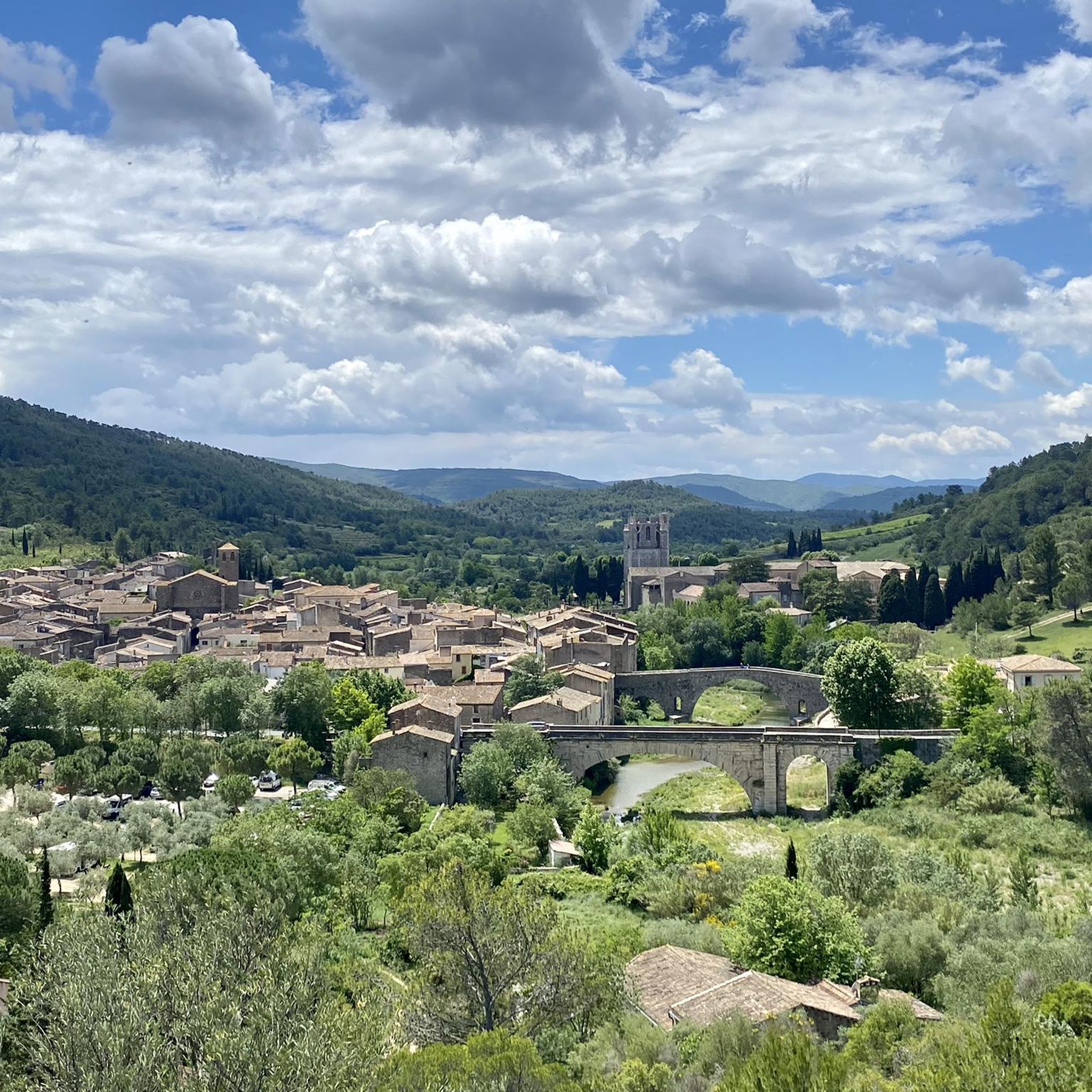
A lovely bridge in an unusual, old-fashioned style!
0
0

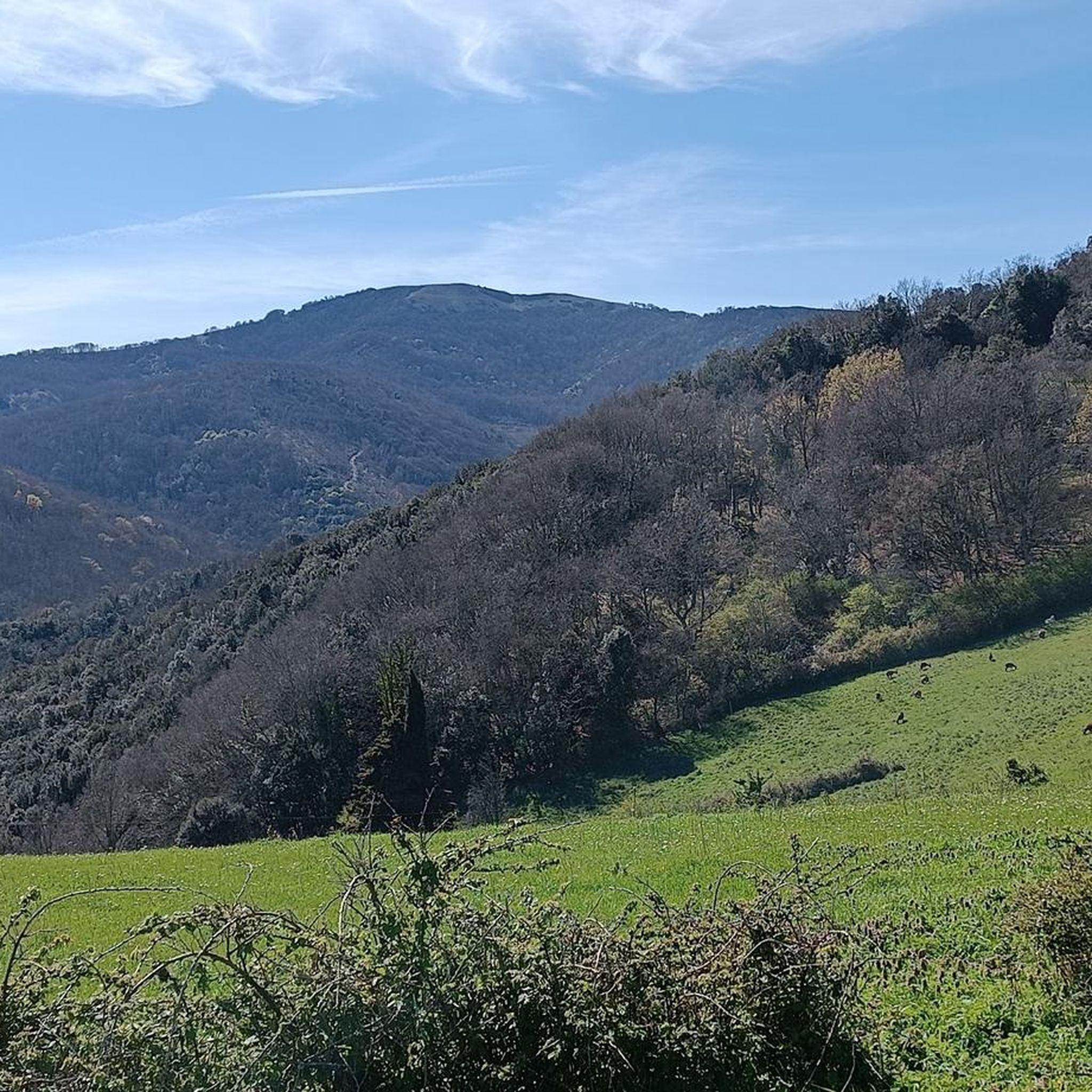
An affordable pass offering beautiful views of the surrounding mountains
0
0
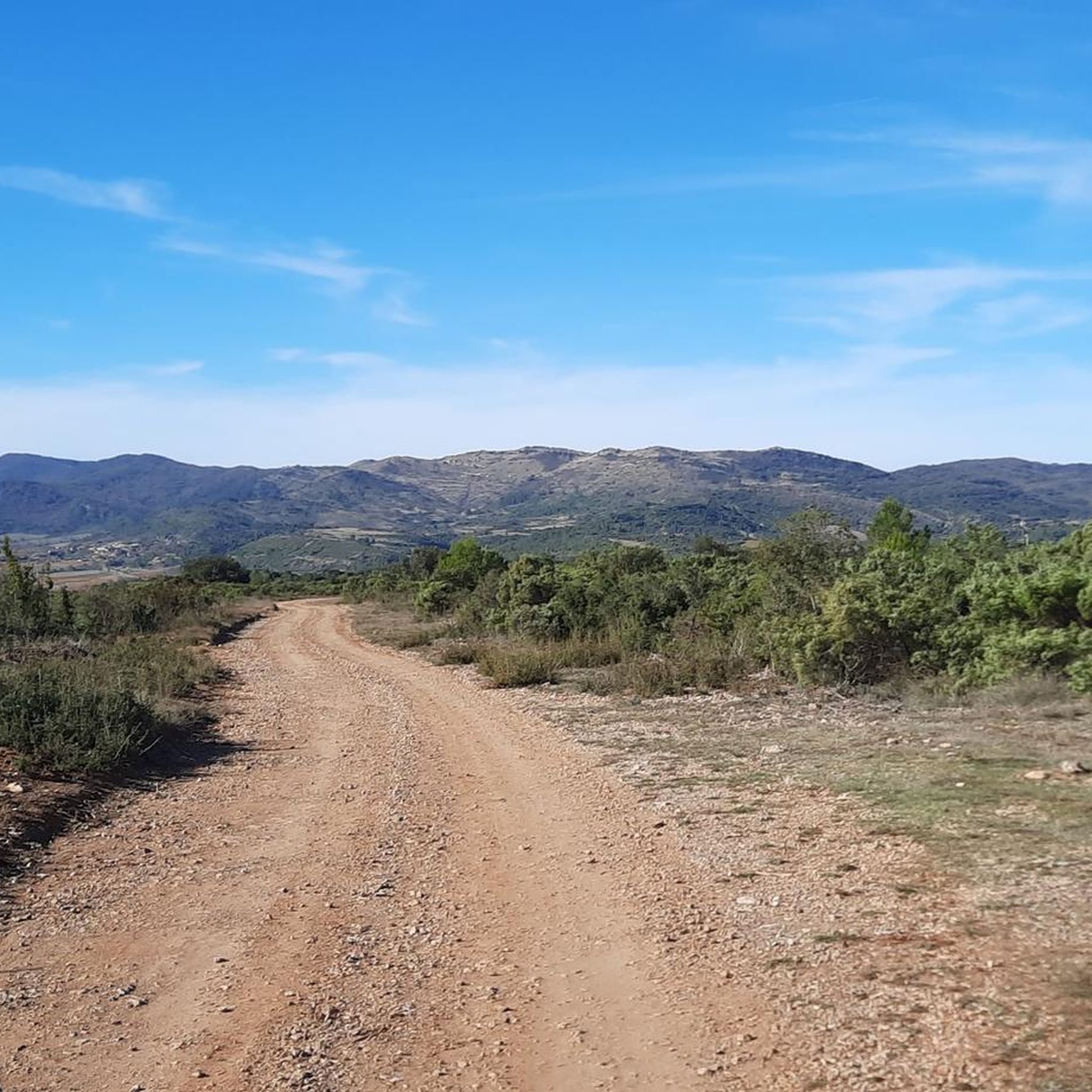
Small, easy and accessible pass, but watch out for hunters in season
0
0

Picnic and bivouac area at the foot of the bridge
0
0

Small hamlet hidden in the heart of Corbières
0
0

Just down the road to the campsite for a refreshing dip in the lake. Delicious as a stopover!
0
0
not too stylish, but mean long
0
0

Nice pass in the Corbières massif between Clemont-sur-Lauquet and Labastide-en-Val. From Labastide-en-Val, the climb is gentle 5.6 km with 557 meters of elevation gain and an average gradient of 5.7%.
1
0
Frequently Asked Questions
How many road cycling routes are available around Lairière?
There are over 15 road cycling routes around Lairière, offering a variety of experiences for cyclists. The komoot community has explored these routes more than 200 times.
What is the typical difficulty level of road cycling routes in Lairière?
Road cycling in Lairière is primarily characterized by challenging routes. Most of the 16 available routes are rated as difficult (11 routes), with some moderate options (5 routes). There are no easy routes listed, indicating a focus on more demanding rides with significant elevation changes.
Are there any beginner-friendly road cycling routes in Lairière?
Based on the available data, there are no routes specifically rated as 'easy' for road cycling in Lairière. The region's terrain, with its mountain passes and river valleys, tends to offer more challenging rides, even for moderate routes.
Where can I find challenging climbs for advanced road cyclists in Lairière?
Lairière is well-suited for advanced road cyclists seeking challenging climbs. Routes like the Col du Poteau – Medieval City of Carcassonne loop from Vignevieille, which covers 77.2 miles (124.3 km) with nearly 2000 meters of elevation gain, offer significant ascents. Another demanding option is the Fourtou waterfall – Auriac loop from Lanet, featuring over 1490 meters of climbing.
What are some of the longer road cycling routes around Lairière?
For longer rides, consider the Col du Poteau – Medieval City of Carcassonne loop from Vignevieille, which spans 77.2 miles (124.3 km). Another substantial option is the Garouillière Pass – Roman Stone Bridge loop from Aude, covering 49.8 miles (80.2 km).
Are there road cycling routes that feature waterfalls or historical landmarks?
Yes, several routes combine natural beauty with historical elements. The Fourtou waterfall – Auriac loop from Lanet is known for its notable waterfall. Additionally, the Garouillière Pass – Roman Stone Bridge loop from Aude leads through a mountain pass and past ancient structures. You can also find attractions like the Terminet Gorges and Termes Castle in the vicinity.
What do other road cyclists enjoy most about road cycling in Lairière?
The area is highly rated by the komoot community, with an average score of 4.7 stars from over 10 reviews. Cyclists often praise the challenging climbs, scenic passes, and routes that combine natural beauty with historical landmarks, offering a demanding yet rewarding experience.
Are there circular road cycling routes available in Lairière?
Yes, many of the road cycling routes around Lairière are designed as loops, allowing you to start and end at the same point. Examples include the Fourtou waterfall – Auriac loop from Lanet and the Camping Innature loop from Salza.
What is the best season for road cycling in Lairière?
Given the region's significant elevation changes and potential for warm summers, spring and autumn are generally ideal for road cycling in Lairière. These seasons offer milder temperatures and pleasant conditions for tackling the climbs and descents. Summer can also be enjoyable, especially in the mornings or late afternoons, but be prepared for warmer weather.
Are there viewpoints along Lairière cycling paths?
The mountainous terrain around Lairière naturally offers many scenic vistas. While specific viewpoints are not always marked on every route, the La Frau viewpoint is a notable spot in the area. Many routes traverse mountain passes and open countryside, providing expansive views of the surrounding landscape.
Are there any routes with lower traffic for a more peaceful ride?
The road cycling routes in Lairière often lead through dense woodlands and open countryside, away from major urban centers. This characteristic suggests that many of the routes, particularly those venturing into the more remote mountain passes, likely offer a more peaceful experience with lower traffic volumes.
Most popular routes around Lairière
Most popular attractions around Lairière

Get inspired with the komoot mobile app


Explore more
Browse the best Road cycling routes in other regions.
