The best walks and hikes around Lairière
4.4
(118)
519
hikers
27
hikes
Hiking around Lairière offers a diverse landscape characterized by rolling hills, woodlands, and tranquil river valleys. The region, located in the Aude department, features varied terrain suitable for different fitness levels. Hikers can explore paths along the Thaurion River and through agricultural areas. Elevation changes are generally moderate, making many trails accessible.
Best hiking trails around Lairière
- The most popular hiking route is Sculpture Trail loop from Aude, a 3.2 miles (5.1 km) trail that takes 1 hour 33…
Last updated: May 23, 2026
4.8
(13)
67
hikers
5.07km
01:33
170m
170m
Easy hike. Great for any fitness level. Easily-accessible paths. Suitable for all skill levels.
4.4
(5)
15
hikers
6.46km
01:56
200m
200m
Easy hike. Great for any fitness level. Easily-accessible paths. Suitable for all skill levels.

Sign up for free
5.0
(6)
21
hikers
10.9km
03:22
390m
390m
Moderate hike. Good fitness required. Easily-accessible paths. Suitable for all skill levels.
5.0
(1)
13
hikers
12.8km
04:08
550m
550m
Moderate hike. Good fitness required. Easily-accessible paths. Suitable for all skill levels.
4.0
(2)
8
hikers
12.9km
03:48
370m
370m
Moderate hike. Good fitness required. Easily-accessible paths. Suitable for all skill levels.
Get access to more routes and recommendations from other explorers.
Sign up for free
Already have an account?
Our route recommendations are based on thousands of hikes, rides, and runs completed by other people on komoot.
Start today with a free account
Your next adventure awaits.
Login or Signup
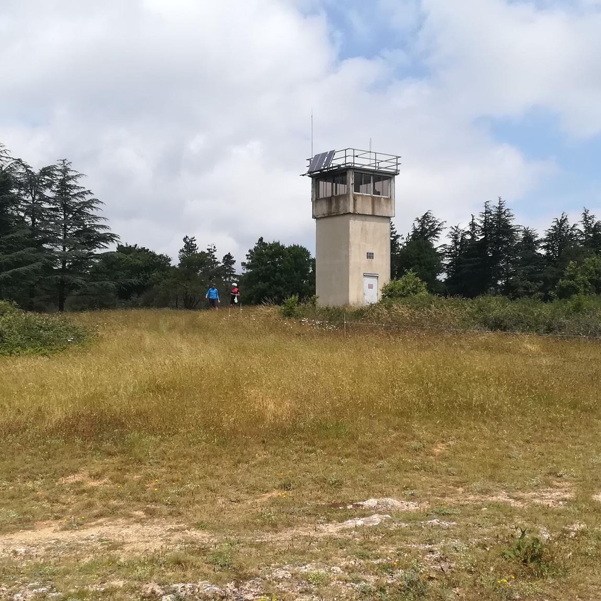
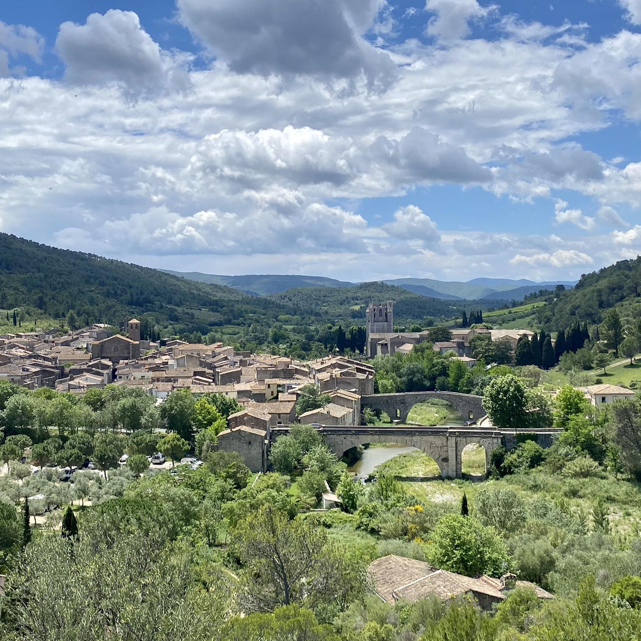
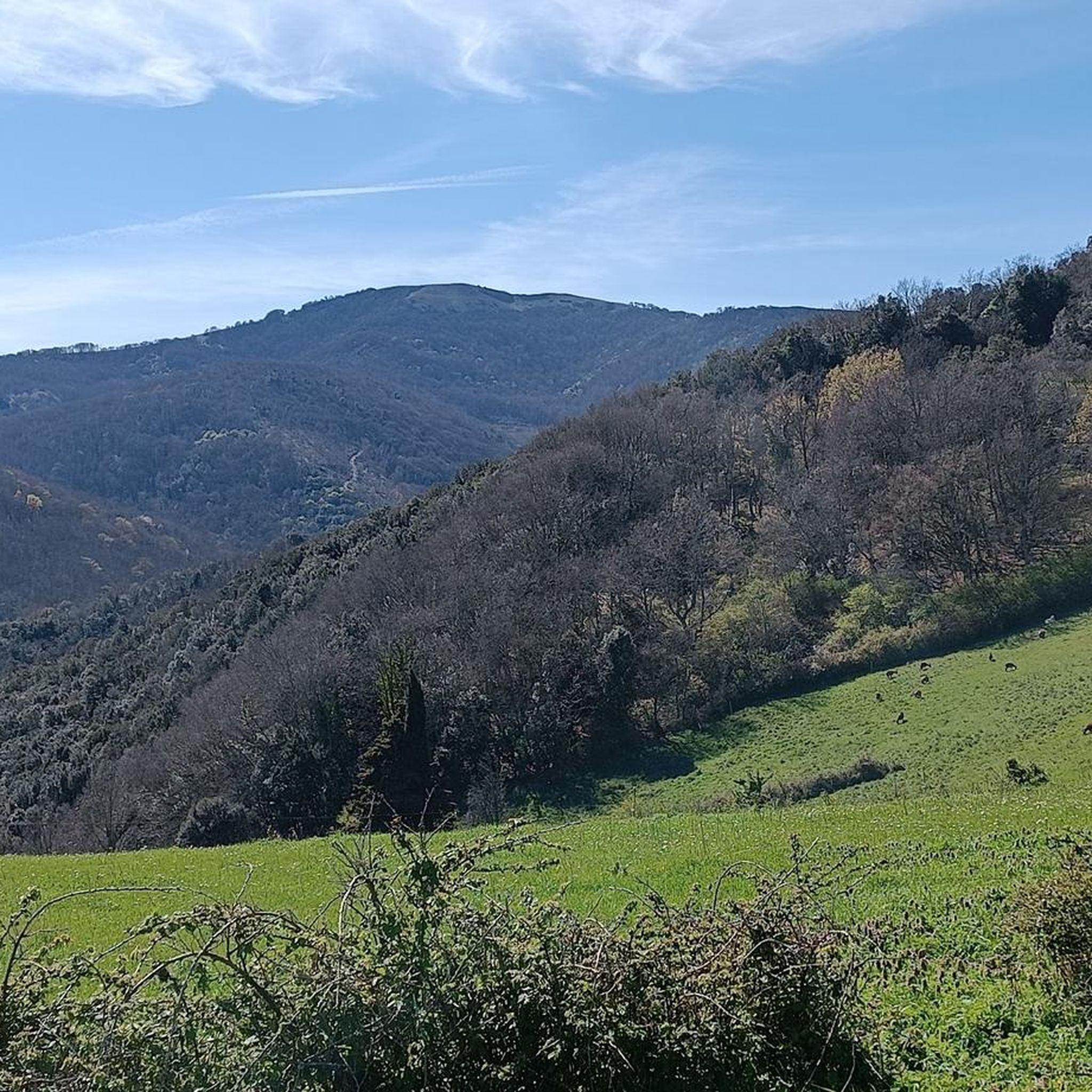

Tips from the Community

Cultural trail and Carla chapel from Lagrasse "Cultural2+" https://www.komoot.fr/tour/766079656
0
1

easy, varied hike, beautiful landscape, family-friendly,
1
1

The tour of the ruins costs admission (5.50 euros per adult and 2.50 per child up to 15 years). But worth it, you get a booklet in English or French so you can follow a circular route. One is currently trying to rebuild or preserve the ruin. There are definitely a lot of equipment above
3
1
Frequently Asked Questions
How many hiking trails are available around Lairière?
Lairière offers a good selection of hiking opportunities, with over 25 trails to explore. These routes cater to various fitness levels, ranging from easy strolls to more challenging hikes through the diverse landscapes of the Aude department.
Are there easy hiking trails suitable for families in Lairière?
Yes, Lairière has several easy trails perfect for families. For a pleasant walk, consider the Termes Castle loop from Termes, an easy 6.4 km path offering views of historical landmarks. Another great option is the Plan Dounat loop from Bouisse, an easy 5.4 km route.
What kind of natural features can I expect to see on hikes around Lairière?
The Lairière region, nestled within the Corbières-Fenouillèdes Regional Natural Park, boasts diverse natural features. You'll encounter rolling hills, tranquil river valleys, and shady forests. The area is also known for its unique geological history, with layered landscapes revealing ancient lakebeds and reddish lands from the dinosaur era, particularly highlighted by the 'L'ÈRE DU TEMPS' walk.
Are there any trails with waterfalls near Lairière?
Yes, the region offers opportunities to discover waterfalls. Visitors can find a waterfall at the culmination of a walkable gorge. While some scrambling over rocks may be required to reach it, it offers a refreshing natural reward.
Are there any challenging hikes in the Lairière area?
While many trails are easy to moderate, there is at least one difficult route for those seeking a greater challenge. The region's elevation, ranging from 246 to 875 meters, provides varied terrain that can offer rewarding ascents and descents.
What do other hikers enjoy most about the trails in Lairière?
The hiking trails around Lairière are highly rated by the komoot community, with an average score of 4.4 stars from over 100 reviews. Hikers often praise the diverse landscapes, from rolling hills and woodlands to river valleys, and the accessibility of routes for different ability levels. The artistic installations along routes like the Sculpture Trail are also frequently highlighted.
Are there any circular hiking routes around Lairière?
Yes, many of the trails in the Lairière area are circular, offering convenient starting and ending points. Examples include the Sculpture Trail loop from Aude, an easy 5.1 km route featuring artistic installations, and the more moderate Milobre de Bouisse loop from Bouisse, which covers about 12.9 km.
What landmarks or viewpoints can I see while hiking near Lairière?
Hikers in the Lairière area can enjoy several notable landmarks and viewpoints. The GR 36 route offers impressive views of the ruins of Termes Castle, perched above the Sou valley. Additionally, the La Frau Viewpoint provides picturesque vistas, particularly of the Georges de Terminet. The historical Cathar castles in the wider Corbières region also offer cultural points of interest.
Is Lairière a good destination for dog-friendly hiking?
The Lairière region, with its extensive network of trails through woodlands and open landscapes, generally offers good opportunities for hiking with dogs. However, it's always advisable to check specific trail regulations within the Corbières-Fenouillèdes Regional Natural Park regarding leash requirements and protected areas to ensure a pleasant experience for everyone.
What is the best time of year to go hiking in Lairière?
The diverse landscapes of Lairière, including its forests and river valleys, make it suitable for hiking across multiple seasons. Spring and autumn generally offer pleasant temperatures and vibrant scenery. Summer can be warm, but the region's shady forests and proximity to natural water features can provide relief. Winter hiking is also possible, though conditions may vary.
Are there any longer, moderate trails for experienced hikers?
Yes, for those looking for a longer, moderate challenge, the Sculpture Trail – Sculpture Trail of Lagrasse loop from Aude is an excellent choice. This route spans about 12.8 km and leads through varied terrain and woodlands, typically taking around 4 hours to complete.
Most popular routes around Lairière
Most popular attractions around Lairière

Get inspired with the komoot mobile app


Explore more
Browse the best Hikes in other regions.
