The best walks and hikes around Sougraigne
4.5
(590)
3,157
hikers
102
hikes
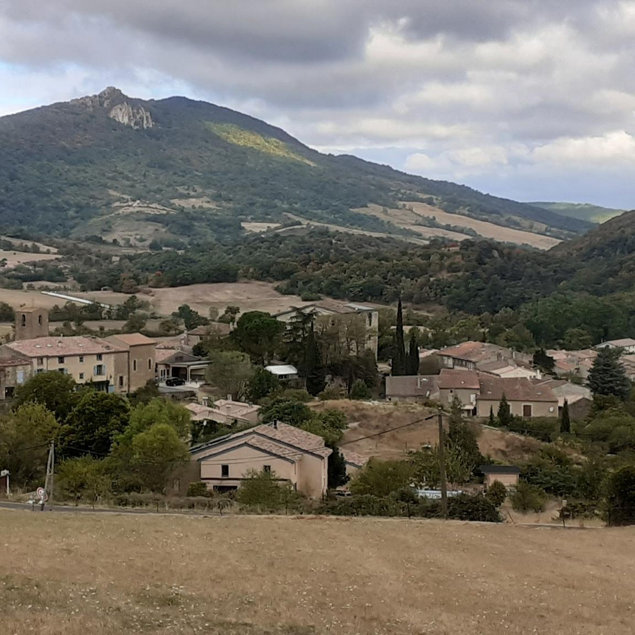
Hiking around Sougraigne offers diverse landscapes, from tranquil meadows and dense forests to dramatic gorges. The region is characterized by unique natural features, including the Sals River, which originates from saltwater springs, and the prominent Pech de Bugarach hill. These varied terrains provide a range of hiking experiences, from gentle paths along riverbeds to challenging ascents with significant elevation gain.
Best hiking trails around Sougraigne
- The most popular hiking route is Pech de bugarach via the South-East ridge – loop…
Last updated: July 4, 2026
4.5
(6)
50
hikers
Hard hike. Good fitness required. Sure-footedness, sturdy shoes and alpine experience required.
4.9
(32)
246
hikers
12.7km
05:15
750m
750m
Hard hike. Very good fitness required. Sure-footedness, sturdy shoes and alpine experience required.

Sign up for free
4.9
(31)
234
hikers
12.7km
05:18
760m
760m
Hard hike. Very good fitness required. Sure-footedness, sturdy shoes and alpine experience required.
4.8
(40)
281
hikers
7.32km
03:29
560m
570m
Moderate hike. Good fitness required. Mostly accessible paths. Sure-footedness required.
4.1
(28)
86
hikers
6.06km
01:54
130m
130m
Moderate hike. Great for any fitness level. Mostly accessible paths. Sure-footedness required.
Get access to more routes and recommendations from other explorers.
Sign up for free
Already have an account?
Our route recommendations are based on thousands of hikes, rides, and runs completed by other people on komoot.
Start today with a free account
Your next adventure awaits.
Login or Signup

Tips from the Community

The waterfall is in a different location, about 1 km further and is not directly on the Katharerweg. I was disappointed when there was nothing to see at this spot. Thanks to the directions from three French people, I found the right place 😅.
0
0

Beautiful small reservoir located in front of the village of Bugarach.
1
0

Pass after the Galamus gorges. It is also the starting point for hikes to the mysterious Pic Bugarach.
0
0

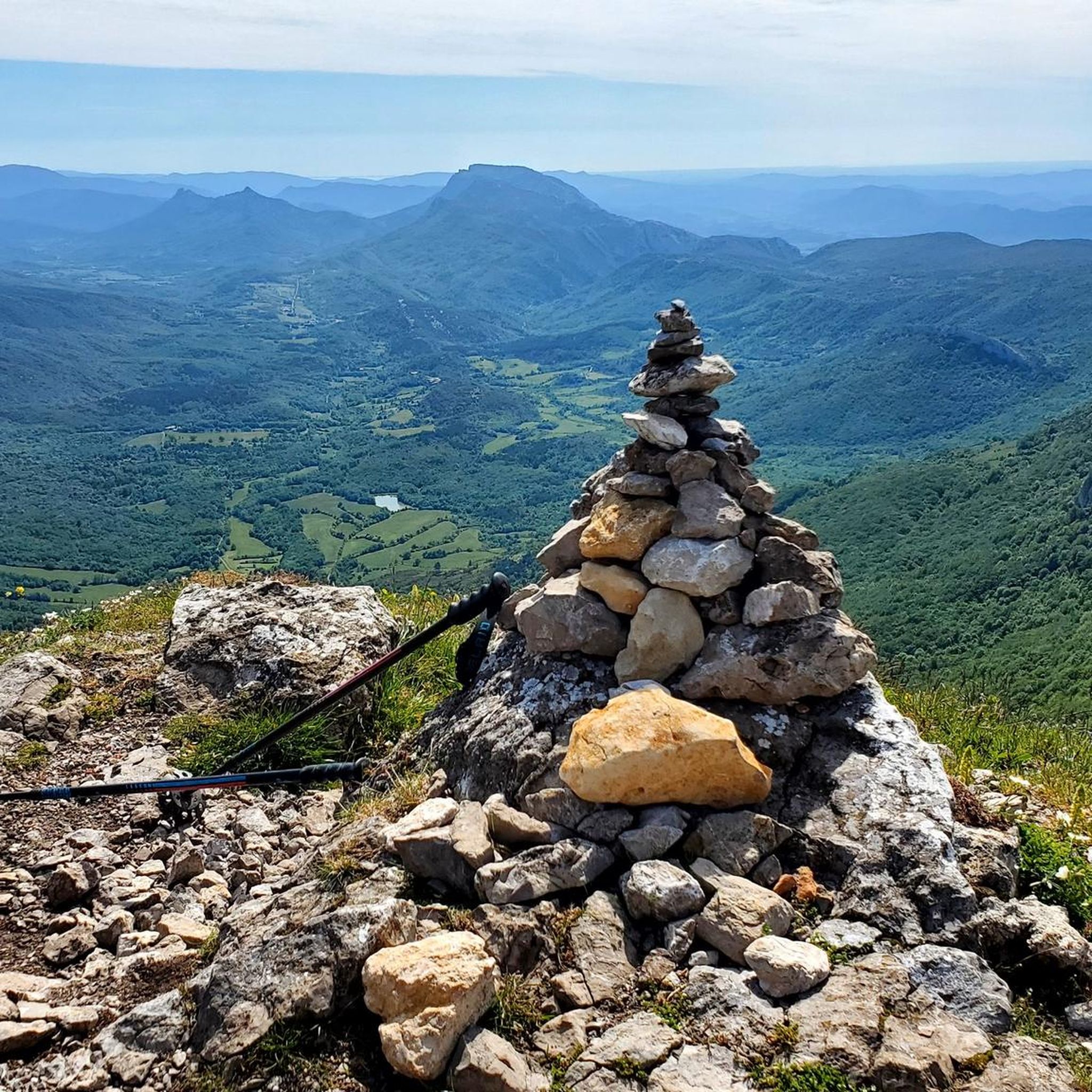
At 1,230 m, it's the highest peak in the Corbières. A very beautiful vantage point. However, the ascent from the southwest requires sturdy shoes and surefootedness.
2
2
The mountain is broken... 😁 Seriously, holes like this don't come around very often. I saw the last one in Corsica before Paglia Orba. The path up here and further to the summit requires sturdy shoes and a certain degree of surefootedness.
3
0

A rock window from which you can see the valley below
3
0
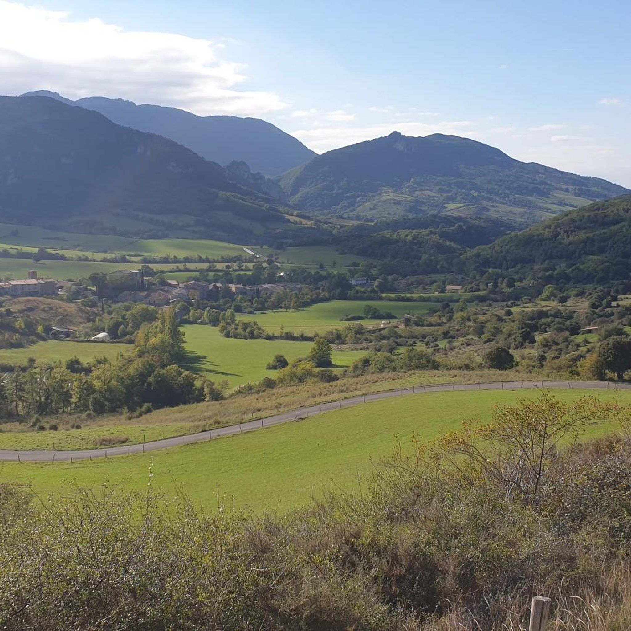
A beautiful meadow where you can meet the local fauna
0
0
Frequently Asked Questions
How many hiking trails are available around Sougraigne?
Sougraigne offers a wide variety of hiking experiences, with over 90 trails to explore. These routes cater to different preferences, ranging from easy strolls to challenging ascents.
What kind of terrain and difficulty can I expect on hikes around Sougraigne?
The terrain around Sougraigne is incredibly diverse, ranging from tranquil meadows and dense forests to impressive gorges and the rugged slopes of the Corbières Massif. You'll find routes for all levels: 19 easy trails, 53 moderate, and 18 difficult ones. Challenging hikes often involve significant elevation gain, especially those leading to the summit of Pech de Bugarach.
Are there many circular hiking routes in Sougraigne?
Yes, many of the trails around Sougraigne are designed as circular routes, allowing you to start and end at the same point. For example, the challenging Pech de Bugarach via the South-East ridge – loop from the col de Linas is a popular circular option.
What are some notable natural features or landmarks to see on hikes near Sougraigne?
The region is rich in natural beauty and unique landmarks. You can explore the dramatic Gorges de Galamus, carved by the Agly river, or ascend the iconic Pech de Bugarach for panoramic views. Don't miss the unique salt springs of the Sals River, a historical site that offers a distinctive landscape to discover.
Are there any family-friendly hiking options around Sougraigne?
Yes, Sougraigne offers several easy and moderate trails suitable for families. These often feature gentler gradients and shorter distances, allowing for a pleasant outing with children. Look for routes that explore the tranquil meadows and forests, or those that follow the Sals River for a unique historical experience.
Can I bring my dog on the hiking trails in Sougraigne?
Many trails in the Sougraigne area are dog-friendly, allowing you to enjoy the beautiful landscapes with your canine companion. However, it's always advisable to keep dogs on a leash, especially in areas with livestock or protected wildlife, and to check specific trail regulations before you go.
What do other hikers enjoy most about hiking in Sougraigne?
The hiking trails around Sougraigne are highly rated by the komoot community, with an impressive average score of 4.5 stars from over 500 reviews. Hikers frequently praise the diverse landscapes, from challenging mountain ascents to scenic gorges, and the unique historical-natural sites like the salt springs. The extensive views from peaks like Pech de Bugarach are also a common highlight.
Are there any historical or cultural sites accessible via hiking trails?
Absolutely. The region has a rich history tied to its natural resources. You can hike to the unique Saint Anthony Hermitage, a 'natural basilica' built from trees and rocks. Trails like 'Entre sel et verre à Sougraigne, la Sals et son histoire' explore the historical salt springs and old glass furnaces, offering a glimpse into the area's past salt trade.
Are there any viewpoints offering great vistas of the region?
Yes, the region is known for its stunning viewpoints. The summit of Pech de Bugarach, the highest peak in the Corbières Massif, offers breathtaking panoramic views of the massif and the Pyrénées. Other notable spots include the View from Sentier du Ritou and the View of the Corbières-Fenouillèdes Valley.
What is a good moderate hike to experience the local area?
For a moderate experience, consider the The Roman Bridge loop from Bugarach. This 6 km route takes about 1 hour 54 minutes and offers a pleasant walk with less elevation gain, allowing you to enjoy the local scenery without a strenuous climb.
Are there any specific trails that lead to the Pech de Bugarach summit?
Yes, several trails lead to or around the Pech de Bugarach. A challenging option is The window – Pech de Bugarach loop from Bugarach, a 12.6 km path with extensive views. Another popular choice is the Pech de Bugarach – The window loop from Pech de Bugarach, which covers a similar distance through the rugged landscape.
Where can I find more information about Sougraigne village itself?
For more details about the picturesque village of Sougraigne, its history, and local attractions, you can visit the official tourism website: limouxin-tourisme.com.
Most popular routes around Sougraigne
Most popular attractions around Sougraigne

Get inspired with the komoot mobile app


Explore more
Browse the best Hikes in other regions.
