Top 8 Mountain Passes around Réal
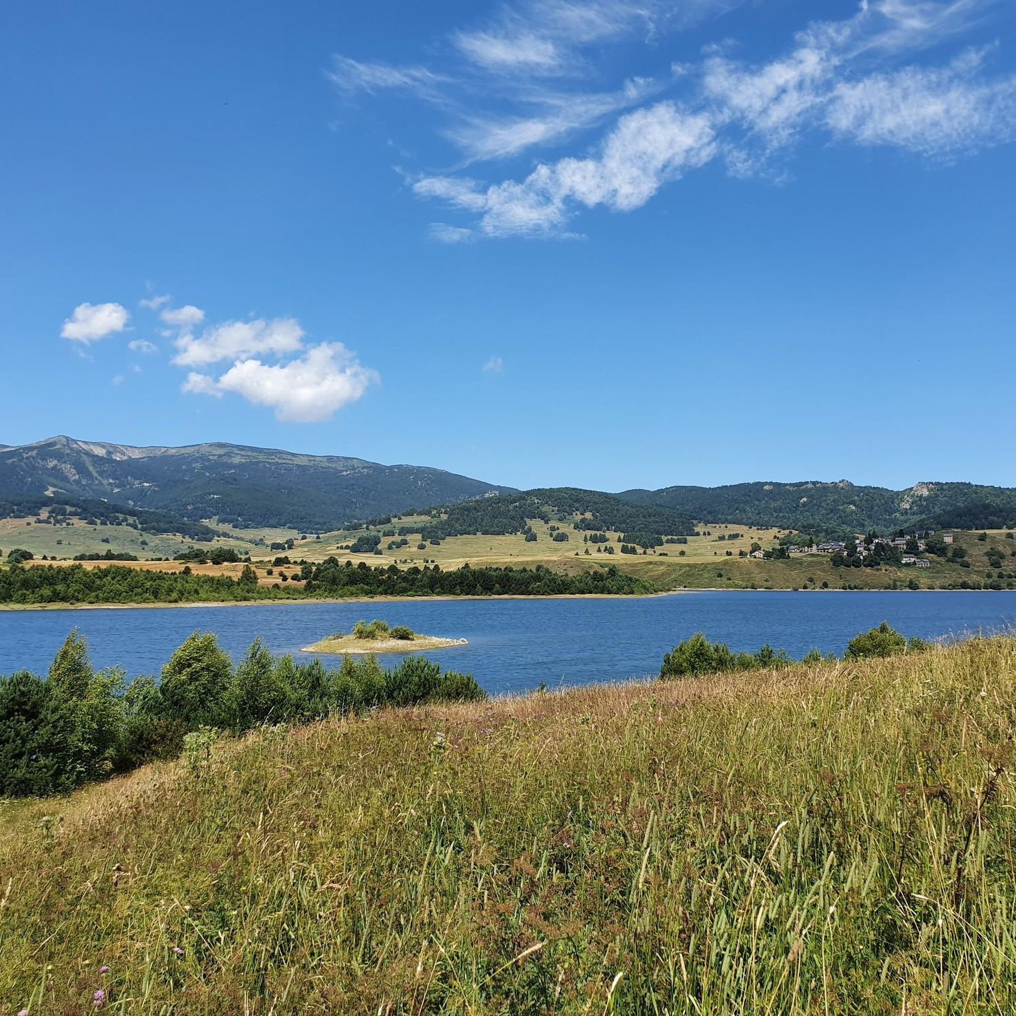
Best mountain passes around Réal are found in the eastern Pyrenees, offering diverse terrain for outdoor activities. This region is characterized by its mountainous landscape, featuring high-altitude passes, forests, and valleys. Visitors can explore a variety of routes, from challenging climbs to scenic drives. The area provides opportunities to experience the natural environment of the Pyrenees.
Best mountain passes around Réal
- The most popular mountain passes is Col de la Creu, a mountain pass that unites the regions of…
Last updated: September 29, 2026
Col de la Creu
Highlight • Mountain Pass
Translated by Google •
Tip by

Col de la Llose
Highlight • Mountain Pass
Translated by Google •
Tip by

Sign up now to discover places like this
Get recommendations on the best single tracks, peaks, & plenty of other exciting outdoor places.
Col du Garavel (1256 m)
Highlight • Mountain Pass
Showing Translation
Tip by

Coll de la Llose from La Llagonne
Highlight (Segment) • Mountain Pass
Translated by Google •
Tip by
Col de Jau
Highlight • Mountain Pass
Translated by Google •
Tip by

Sign up for free to discover even more mountain passes around Réal.
Already have an account?
Start today with a free account
Your next adventure awaits.


Tips from the Community

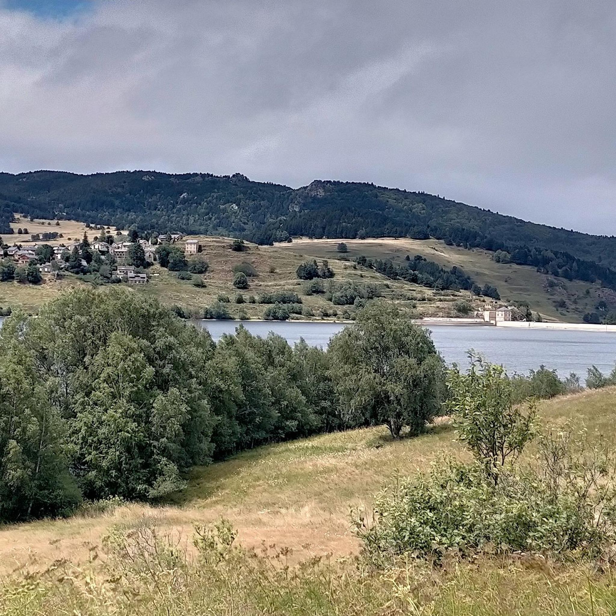
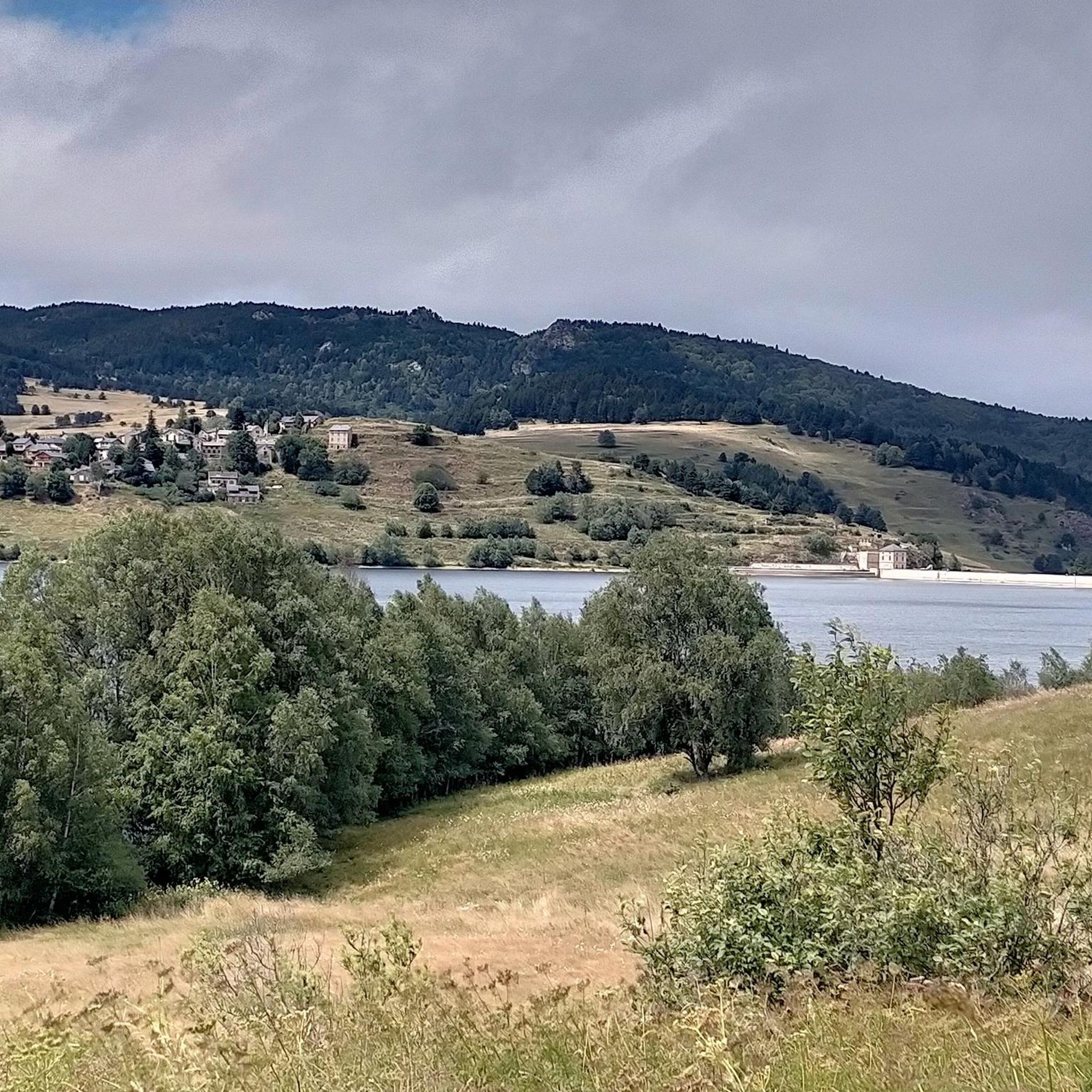
From Axat, it's a long climb, 18km. It's quite beautiful down in the gorges, then a few kilometers of fairly monotonous woods. Arriving on the plateau, it clears up but it's rural. The impressive view is worth it when you reach the pass. Going down there must be a blast, the tarmac is good, it's quite wide and there's little traffic. I went down via Escouloubre: the tarmac is bad, gravel, but the forest is enchanting! Why not go the other way, then, up via Escouloubre and down via Bousquet / Roquefort etc.?
1
0

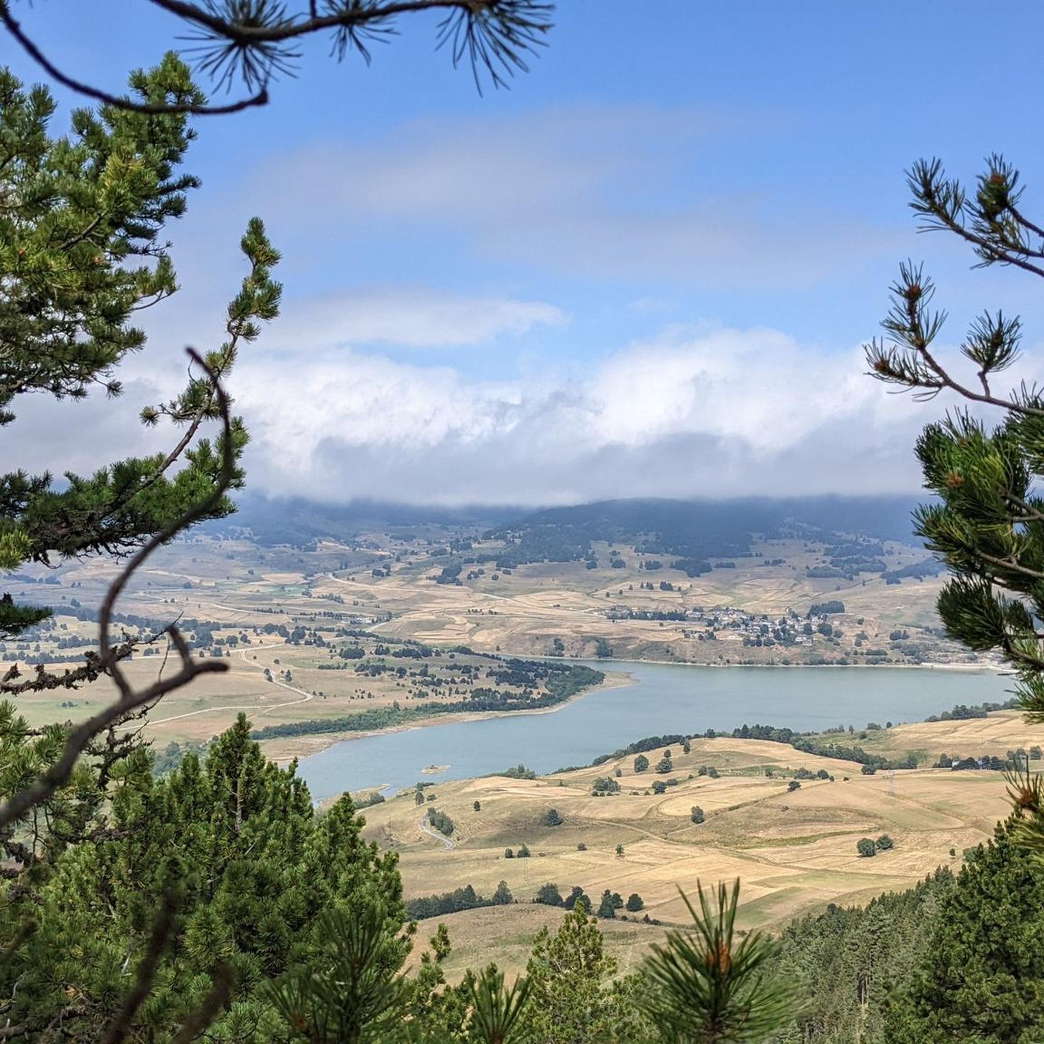
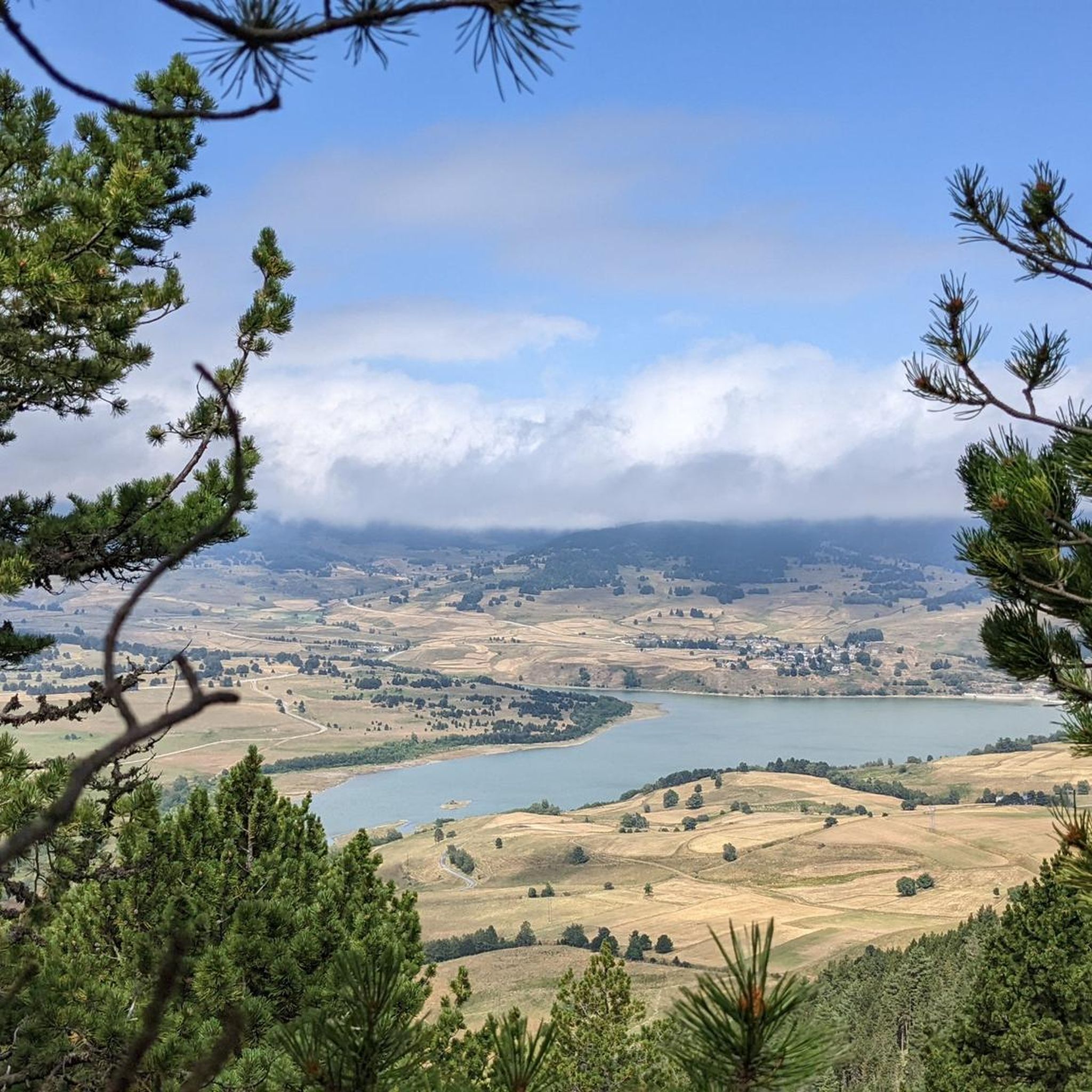
It is a simply spectacular port that unites the regions of Conflent and Capcir. It is one of the most beautiful ports in the easternmost Pyrenees. It is very close to the Col de la Llosa, and you can take a circular route that is known as the "Route des Cols". It is also indicated on nearby road signs. The hardest slope is the one that begins in Olette (Conflent) and goes up through Aiguatèbia. There are almost 22 km of ascent and 1,089 meters of elevation gain. It has 3 very different zones: (1) the first is a constant 5 km at 7%; (2) the second is 10 km at 4% and with some very pleasant rest areas, with beautiful views; (3) The final part is 6 km on average at 7%, since it passes the town of Railleu, although the hard part is the last 3 km, with several ramps that exceed 10%. The road is narrow and has uneven asphalt, with hardly any cars and motorcycles. For me, the final part of this port is truly spectacular and should not be missed. The west slope begins in the town of Matamala (Capcir) and is 3 km with an average of close to 8%. It is a long irregular stretch along a narrow and very quiet road, with panoramic views of the valley when the thick black pine forest gives some opportunity.
0
0

A little disappointing: the pass is in the middle of the forest and offers no view. The climb from (and to!) Railleu is nevertheless superb. A nice picnic area to have a bite to eat.
1
0
I attach the link to consult the profile produced by @cyclingcols --> https://www.cyclingcols.com/col/Llose
0
0
It is the final stretch of the climb on its western slope. Previously, until you reach Llagone, you can get there via the Col de Quillane or the Col de la Perche. It is 3 km with a road in perfect condition, very wide and with rough asphalt. At the detour, right at the beginning, there is a small section of descent to then face 2.5km at 7% and some hard ramps. At the top of Col de la Llose there is a bar where you can have a drink.
0
0
It is a mandatory port for anyone who wants to visit Upper Cerdanya by bicycle. On the southern slope it is very affordable; However, the charm of this port is on the northern slope, the one that goes up from Olette. It has all the incentives for good cycle tourism.
0
0

Good mood and good food: the ideal place to regain your strength!
0
0

Nice collar! Either way, it's fun to do.
0
0
Frequently Asked Questions
What kind of natural features can I expect to see around the mountain passes in Réal?
The mountain passes around Réal, located in the eastern Pyrenees, offer diverse natural beauty. You can expect stunning panoramic views of glaciated peaks, forests, and valleys. For example, from Col de la Creu, visitors often enjoy fantastic views, including the Canigó in the background. Col du Garavel (1256 m) also provides impressive views upon reaching the pass, especially after passing through typical Pyrenean villages and forests.
What are some of the most popular mountain passes in the Réal region?
Among the most popular mountain passes in Réal, Col de la Creu is highly regarded for its spectacular route uniting the regions of Conflent and Capcir. Another favorite is Col de la Llose, known for its challenging climbs and opportunities to enjoy nature at an altitude of 1866 m. Col du Garavel (1256 m) is also a beloved spot, offering impressive views after a long climb from Axat.
What outdoor activities can I do near the mountain passes around Réal?
The Réal region is excellent for various outdoor activities. You can find numerous routes for mountain biking, road cycling, and general cycling. For example, you can explore MTB trails like the easy 18.7 km 'Cascade du Galbe – Cascade sur le Galbe loop from Réal' or more difficult ones like the 49.1 km 'Col de la Creu – Lake Calvet loop from Formiguères'. Road cyclists can tackle challenging routes such as the 161.1 km 'Pailhères Pass – Jau Pass loop from Prat Balhat'. For more options, check out the MTB Trails around Réal, Road Cycling Routes around Réal, and Cycling around Réal guides.
Are there challenging climbs for cyclists in the Réal area?
Yes, the Réal area is well-known for its challenging climbs, particularly for cyclists. Passes like Col de la Llose and Col de la Creu offer significant elevation gains and steep sections. The ascent to Col de la Creu from Olette, for instance, is almost 22 km long with 1,089 meters of elevation gain, featuring ramps that exceed 10% in its final part. Col du Garavel (1256 m) also presents a long 18 km climb from Axat.
What is the best time to visit the mountain passes around Réal?
While the guide doesn't specify a 'best' time, the mention of challenging climbs and the general nature of Pyrenean passes suggest that late spring to early autumn (roughly May to October) would be ideal for most outdoor activities, avoiding winter snow and ice. During these months, the weather is generally more favorable for cycling and hiking, allowing full access to the passes and their scenic routes.
Are there any facilities or places to stop for refreshments at the mountain passes?
Yes, some mountain passes offer facilities. At the top of Coll de la Llose from La Llagonne, there is a bar where you can have a drink. Col de la Creu also has a nice picnic area, perfect for a bite to eat amidst the forest scenery.
What do visitors appreciate most about the mountain passes in Réal?
Visitors highly appreciate the untouched nature and breathtaking scenery of the Réal mountain passes. Many enjoy the challenging yet rewarding climbs, the quiet roads with little traffic, and the impressive panoramic views. The opportunity to immerse oneself in the Pyrenean landscape, with its forests and distant peaks, is a recurring highlight. The komoot community has contributed 26 photos and given 75 upvotes, reflecting the area's appeal.
Can you recommend a mountain pass for an intermediate level cyclist or hiker?
Many of the mountain passes around Réal are categorized as intermediate, making them suitable for those with some experience. Col de la Llose and Col de la Creu are both excellent choices, offering challenging yet manageable ascents and rewarding views. Col de Jau is another intermediate option, with a continuous climb and excellent views, particularly from Campome.
Are there any circular routes that include these mountain passes?
Yes, for cyclists, there are circular routes that incorporate some of the passes. For instance, near Col de la Creu and Col de la Llose, there is a well-known circular route called the 'Route des Cols'. This allows you to experience multiple passes in one journey. You can find more cycling loops in the Cycling around Réal guide.
What is the elevation of the mountain passes in Réal?
The mountain passes around Réal vary in elevation. For example, Col de la Llose reaches an altitude of 1866 m. Col du Garavel is at 1256 m, and Col de Jau culminates at 1513 m. These elevations offer significant climbs and impressive views of the Pyrenean landscape.
Are there any specific tips for climbing Col de la Creu?
For Col de la Creu, the hardest slope begins in Olette (Conflent) and goes up through Aiguatèbia, covering almost 22 km with 1,089 meters of elevation gain. This ascent has three distinct zones: a constant 5 km at 7%, followed by 10 km at 4% with pleasant rest areas, and a final 6 km averaging 7%, with challenging ramps exceeding 10% in the last 3 km. The road is narrow with uneven asphalt, but offers a truly spectacular experience with hardly any cars or motorcycles.
Most popular routes around Réal
Most popular attractions around Réal

Get inspired with the komoot mobile app


Explore more
See even more epic mountain passes by checking out these guides around Réal:
