The best road cycling routes around Saint-Sauveur
4.7
(54)
1,573
riders
104
rides
Road cycling around Saint-Sauveur offers diverse terrain within the Laurentian Mountains of Quebec. The region features rolling mountains, serene lakes, and extensive forests, providing a varied and scenic environment for cyclists. Road cycling routes frequently wind through valleys and past natural water features, presenting a mix of gentle slopes and more challenging climbs. This landscape caters to various fitness levels, with lush greenery in summer and vibrant colors in the fall.
Best road cycling routes around Saint-Sauveur
- The most popular…
Last updated: July 5, 2026
38
riders
22.8km
01:14
320m
320m
Moderate road ride. Good fitness required. Some segments of this route may be unpaved and difficult to ride.
5.0
(1)
26
riders
55.8km
02:32
450m
450m
Moderate road ride. Good fitness required. Some segments of this route may be unpaved and difficult to ride.

Sign up for free
5.0
(1)
29
riders
19.7km
01:07
440m
440m
Moderate road ride. Good fitness required. Mostly well-paved surfaces and easy to ride.
5.0
(3)
36
riders
36.5km
01:41
260m
260m
Easy road ride. Great for any fitness level. Mostly well-paved surfaces and easy to ride.
12
riders
122km
05:30
1,210m
1,210m
Hard road ride. Very good fitness required. Some segments of this route may be unpaved and difficult to ride.
Get access to more routes and recommendations from other explorers.
Sign up for free
Already have an account?
Our route recommendations are based on thousands of hikes, rides, and runs completed by other people on komoot.
Start today with a free account
Your next adventure awaits.
Login or Signup

Tips from the Community

The visit of the little train is worth the detour!
0
0

It is located on the left bank of the Meurthe, at number 14 rue Denfert-Rochereau. The Saint-Georges church is the church of La Neuveville-lès-Raon, which merged with Raon-l'Etape in 1947. It was built between 1835 and 1838 according to the plans of the district architect Boucher de Saint-Dié. The church was fitted out in 1894. In 1905 the dome was rebuilt. From 1973 to 1978, major restoration work was carried out, both interior and exterior. Inside, among other things, there is an old statue of Our Lady of Sorrows, a painting of Saint Nicholas, who is also the patron saint of wood-floaters, a painted wooden Christ, and a memorial chapel (1922).
0
0

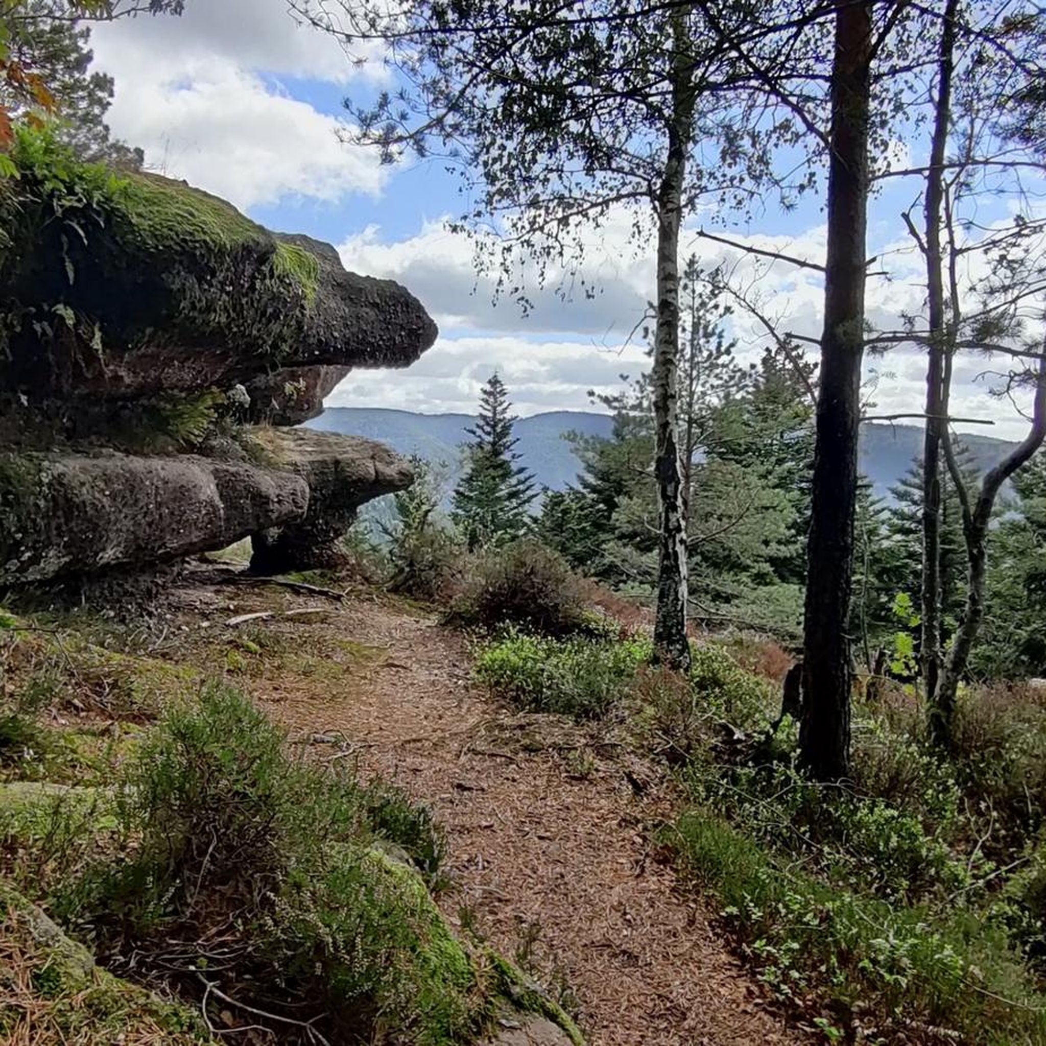
Beautiful hiking destination, there is also a cycling route
0
0

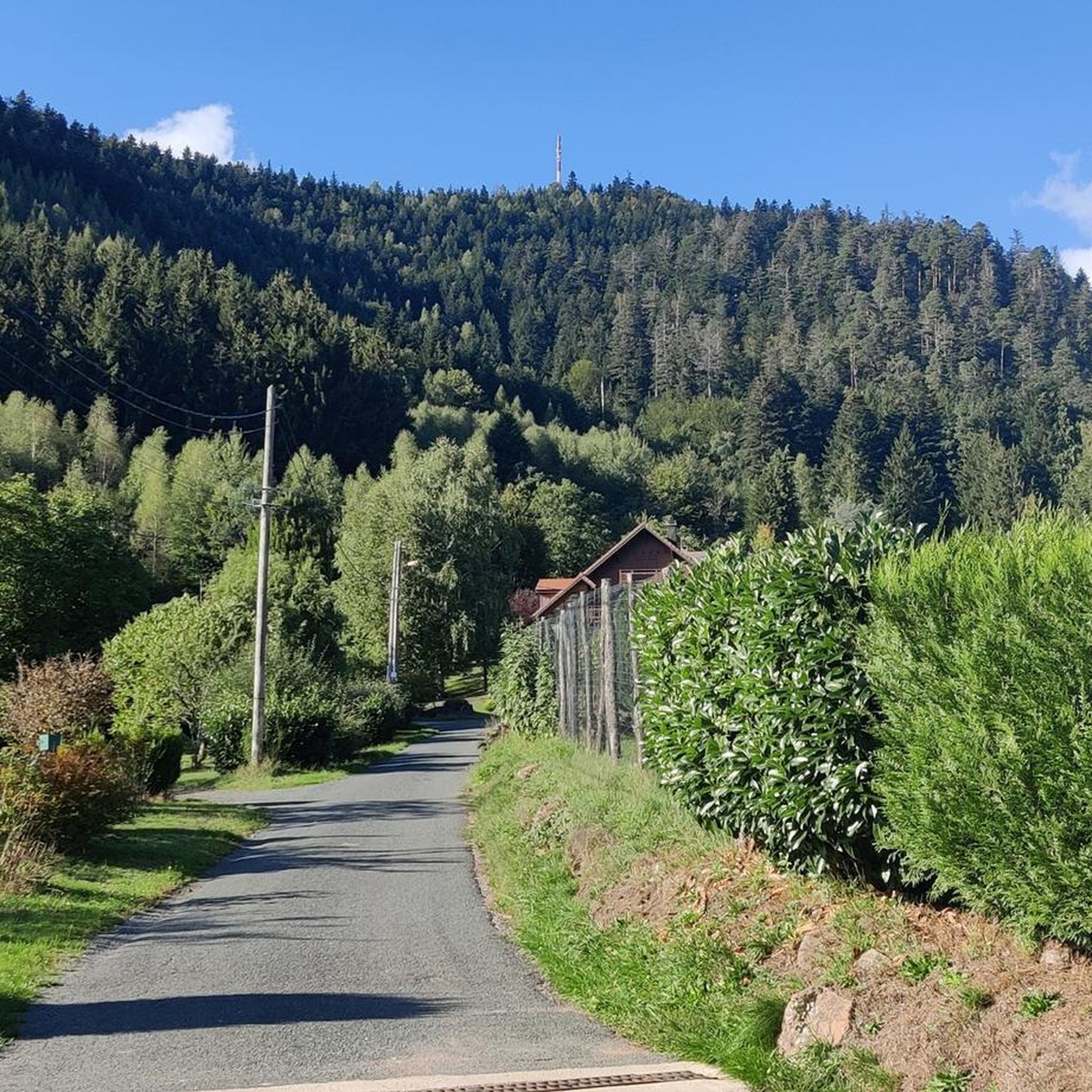
Beautiful climb and lovely view at the pass - Altitude 728m Restaurants (inns) at the pass
0
0


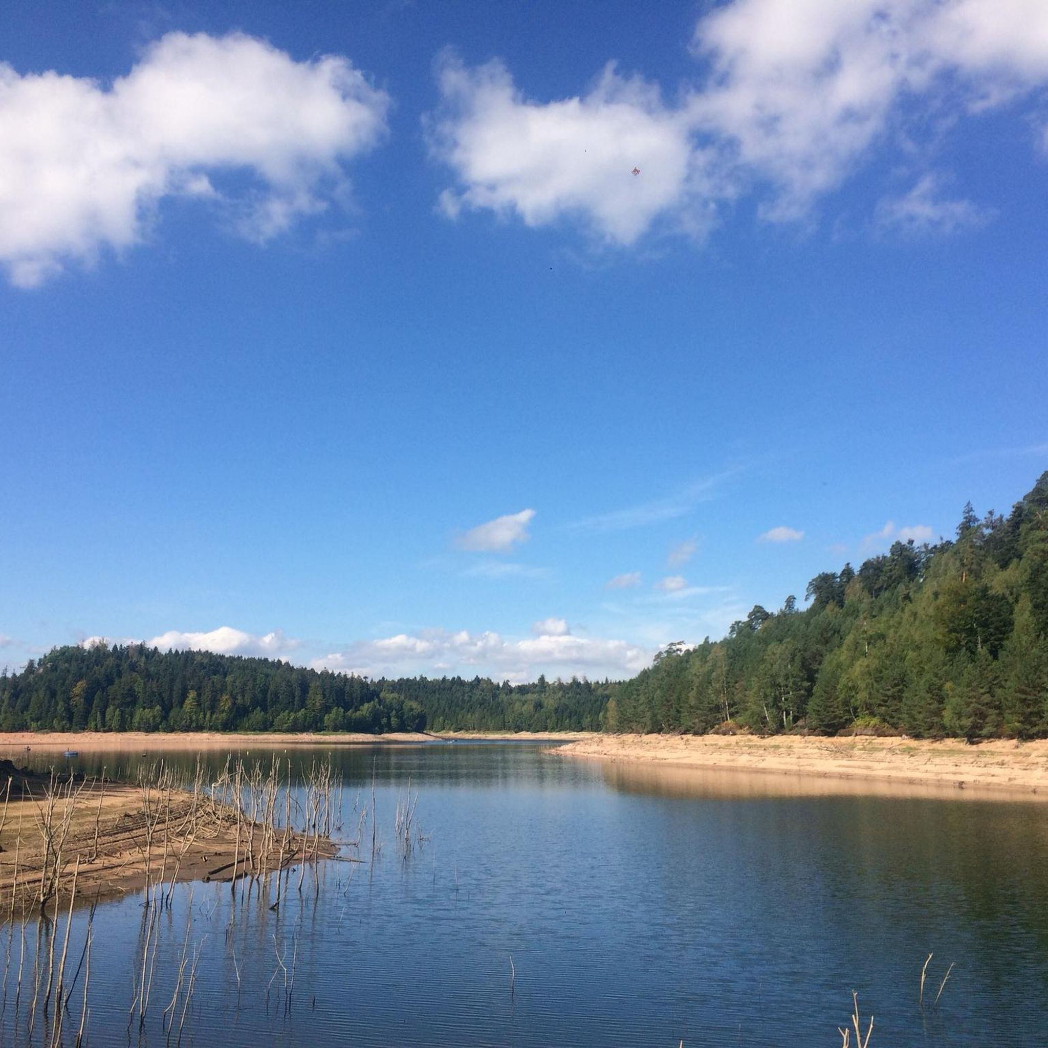
Situated in the heart of the Vosges, this dam, together with Lac de la Plaine, forms an important water reservoir. The dam was built to feed Lac de Pierre-Percée via an underground system. The climb up to it is gradual and rewards you with a view of the peaceful Lac de la Plaine. The road along the lake is ideal for a breather, with little traffic and lots of nature. Perfect for a short break or a photo opportunity during your ride.
9
0
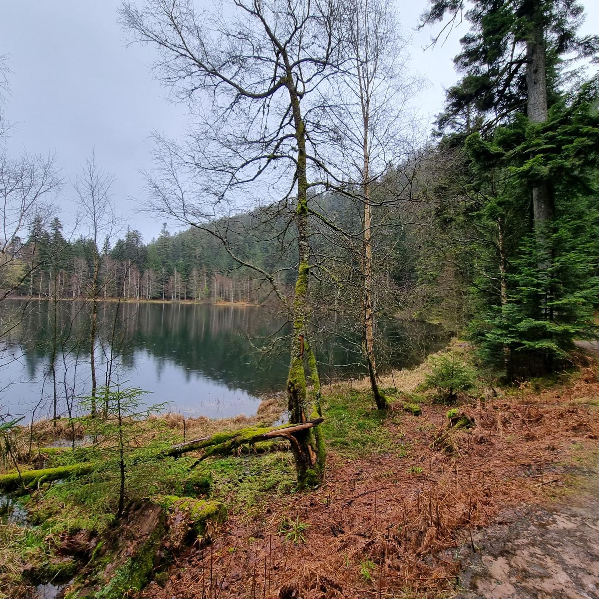
Lac de la Plaine is a picturesque lake in the Vosges, located near Celles-sur-Plaine, near the larger Lac de Pierre-Percée. The lake is an artificial water reservoir of about 0.5 million m³ and serves as a supply basin for the reservoir above.
1
0
This impressive dam, located in the Vosges, forms an artificial water reservoir together with the Lac de Pierre-Percée. The dam is 69 metres high and 330 metres long, built with a clay core and lined with volcanic rock. It plays an important role in water management and energy production via an underground water connection with the Lac de la Plaine. The surrounding area offers beautiful views and is ideal for hiking along rocky paths, forests and viewpoints over the lake.
7
0
Frequently Asked Questions
How many road cycling routes are available around Saint-Sauveur?
There are over 100 road cycling routes around Saint-Sauveur, offering a wide variety of options for different skill levels and preferences. You'll find everything from easy paths to challenging ascents through the Laurentian Mountains.
What kind of terrain can I expect on road cycling routes in Saint-Sauveur?
The terrain around Saint-Sauveur is diverse, characterized by the Laurentian Mountains. You can expect a mix of rolling hills, scenic valleys, and some more challenging climbs. Routes often wind past serene lakes and through extensive forests, providing varied and picturesque landscapes.
Are there routes suitable for beginners or less experienced cyclists?
Yes, Saint-Sauveur offers routes suitable for beginners. While many routes feature elevation changes, there are also easier paths. The region's network includes 10 easy routes, providing a gentle introduction to road cycling in the area.
What are some challenging road cycling routes for experienced riders?
For experienced riders seeking a challenge, routes with significant elevation gain are available. A notable difficult option is the Chapelotte Pass loop from Cirey-sur-Vezouze, which covers 65.2 km with substantial climbing. Another demanding route is the Col du Donon – The Great Lock of Réchicourt loop from Grandfontaine, spanning 121.8 km.
Are there any scenic routes with notable viewpoints or natural features?
Absolutely. Many road cycling routes in Saint-Sauveur are highly scenic, winding through valleys, past natural water features like lakes, and offering views of the Laurentian Mountains. The changing seasons, especially fall, bring vibrant colors to the extensive forests, enhancing the natural beauty of the rides.
Can I find loop routes for road cycling in the area?
Yes, several loop routes are available for road cycling. Examples include the Vieux-Pré Dam – War Memorial of Pierre-Percée loop from Pierre-Percée, a moderate 22.2 km path, and the Donon Pass – Col du Donon loop from Grandfontaine, which is 19.7 km long.
What is the best time of year to go road cycling in Saint-Sauveur?
The best time for road cycling in Saint-Sauveur is typically during the warmer months, from late spring through early fall. Summer offers lush greenery, while autumn provides vibrant foliage, making for particularly picturesque rides. The region's natural features are best enjoyed when the weather is mild.
What attractions or landmarks can I see along the road cycling routes?
While cycling, you can encounter various attractions and landmarks. Some routes may pass near historical sites like Donon Temple or Salm Castle. Natural features such as Lac de la Maix and various mountain summits like Le Petit Donon or The Hanging Cat can also be found nearby.
Where can I find parking for road cycling routes in Saint-Sauveur?
Parking availability varies by route trailhead. Many routes start from villages or designated parking areas. It's advisable to check the specific route details on komoot for information on starting points and parking facilities near your chosen cycling path.
What do other cyclists say about road cycling in Saint-Sauveur?
The road cycling routes around Saint-Sauveur are highly rated by the komoot community, with an average score of 4.7 stars from over 48 reviews. Cyclists often praise the varied terrain, scenic views of the Laurentian Mountains, and the well-maintained paths that cater to different ability levels.
Are there any places to stop for refreshments or accommodation near the routes?
The picturesque village of Saint-Sauveur itself offers charming streets with boutiques, cafes, and restaurants, providing excellent options for refreshments and relaxation after a ride. Many routes also pass through or near other smaller towns where you might find local establishments.
Are there any long-distance road cycling options in the region?
Yes, for those looking for longer rides, the region offers extensive options. The Col du Donon – The Great Lock of Réchicourt loop from Grandfontaine is a significant 121.8 km route. Additionally, the broader Laurentian region is home to the P'tit Train du Nord Linear Park, a 203.7 km point-to-point trail, though it's a former railway bed and largely flat.
What other outdoor activities can I combine with a road cycling trip to Saint-Sauveur?
Saint-Sauveur is a hub for outdoor activities. Besides road cycling, you can enjoy hiking on trails like Cape Molson or Summit of Saint-Sauveur, water activities at Sommet Saint-Sauveur's mountain water park, or on local lakes. The area also offers golfing, mountain biking, and unique attractions like the Viking alpine roller coaster.
Most popular routes around Saint-Sauveur
Most popular attractions around Saint-Sauveur

Get inspired with the komoot mobile app


Explore more
Browse the best Road cycling routes in other regions.
