The best walks and hikes around Saint-Sauveur
4.6
(3060)
18,383
hikers
298
hikes
Hiking trails around Saint-Sauveur offer diverse landscapes within the Laurentian Mountains of Quebec. The region features expansive forests, numerous lakes, and varied terrain, including hills and forested sections. Hikers can expect winding paths through lush woodlands and panoramic views from higher elevations. This natural setting provides a rich environment for outdoor exploration.
Best hiking trails around Saint-Sauveur
- The most popular hiking route is Lac de la Maix – Roc des Cupules loop from Vexaincourt, a 5.9 miles (9.5 km) trail that takes 2 hours 59 minutes to complete. This moderate route features varied terrain and elevation changes.
- Another top favourite among local hikers is Lac de la Maix – Sentier des Hautes Chaumes loop from Vexaincourt, a difficult 14.0 miles (22.5 km) path. This challenging trail includes significant elevation gain through forested areas.
- Local hikers also love the Druids' Rock – La Gagère Chapel loop from Saint-Sauveur, a 6.2 miles (10.0 km) trail leading through varied landscapes, often completed in about 2 hours 54 minutes.
- Hiking around Saint-Sauveur is defined by the Laurentian Mountains, dense forests, and tranquil lakes. The network offers options for different ability levels, from easy walks to more challenging ascents.
- The routes in Saint-Sauveur are highly rated by the komoot community with an average score of 4.6 stars from over 2500 reviews. More than 16000 hikers have used komoot to explore Saint-Sauveur's varied terrain.
Last updated: October 30, 2026
4.6
(27)
153
hikers
9.53km
02:59
390m
390m
Moderate hike. Good fitness required. Easily walkable paths.
4.7
(9)
60
hikers
22.7km
06:49
730m
730m
Hard hike. Very good fitness required. Easily walkable paths.

4.0
(4)
22
hikers
17.2km
05:12
560m
560m
Hard hike. Very good fitness required. Easily walkable paths.
3.5
(2)
14
hikers
10.0km
02:54
260m
260m
Moderate hike. Good fitness required. Easily walkable paths.
4.2
(5)
18
hikers
18.1km
05:43
710m
710m
Hard hike. Very good fitness required. Mostly walkable paths. Sure-footedness required.
Get access to more routes and recommendations from other explorers.
Already have an account?
Our route recommendations are based on thousands of hikes, rides, and runs completed by other people on komoot.
Start today with a free account
Your next adventure awaits.
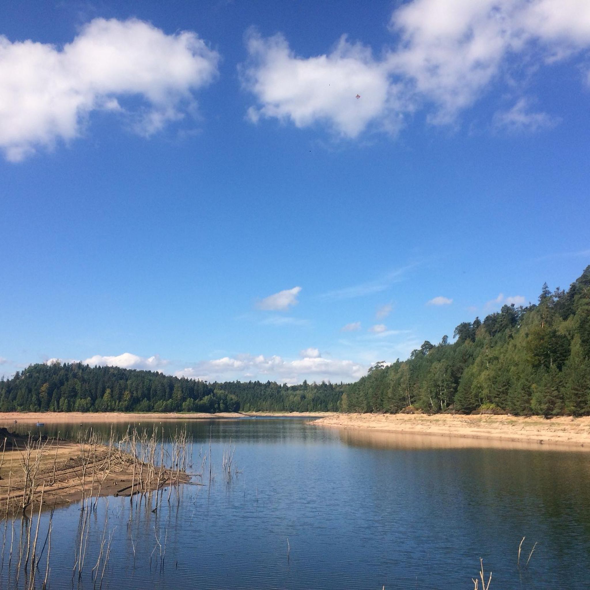
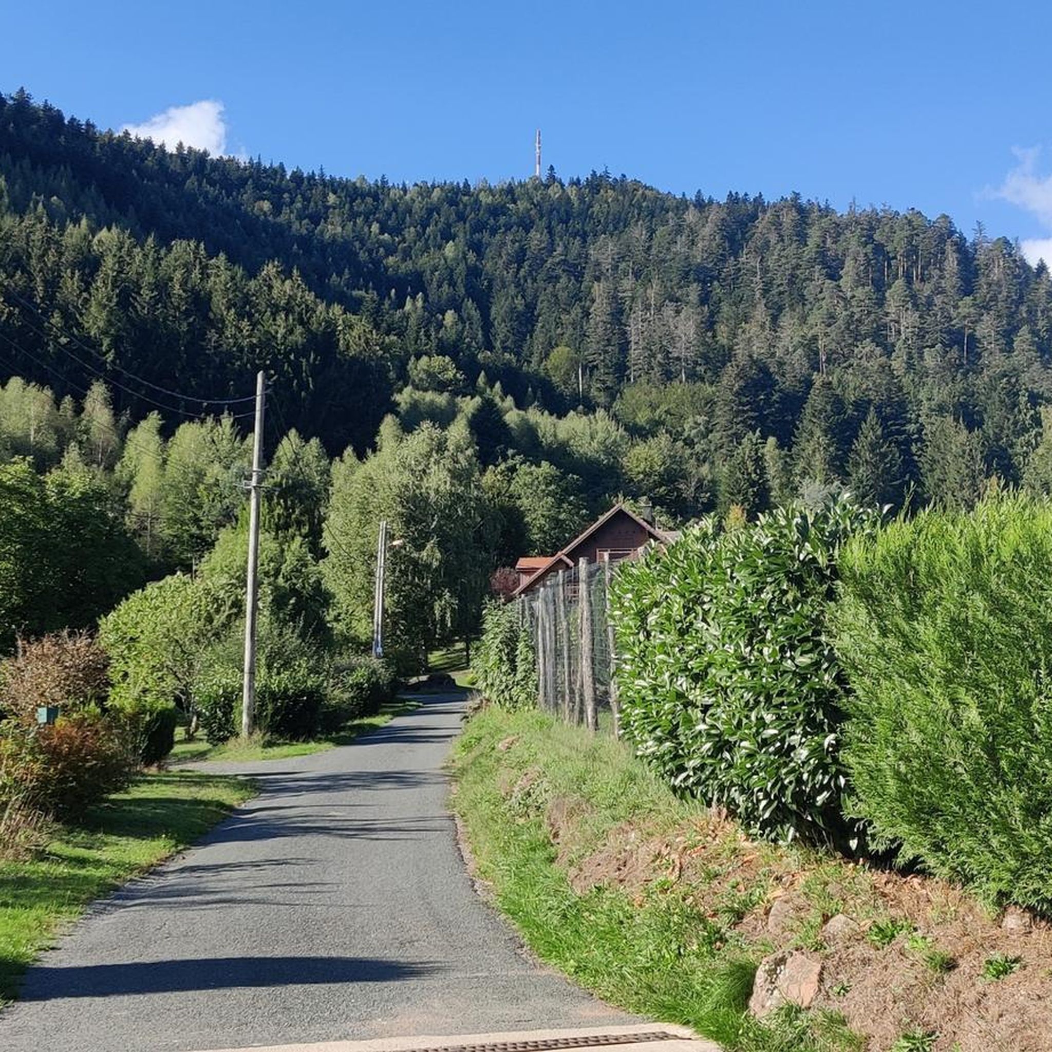
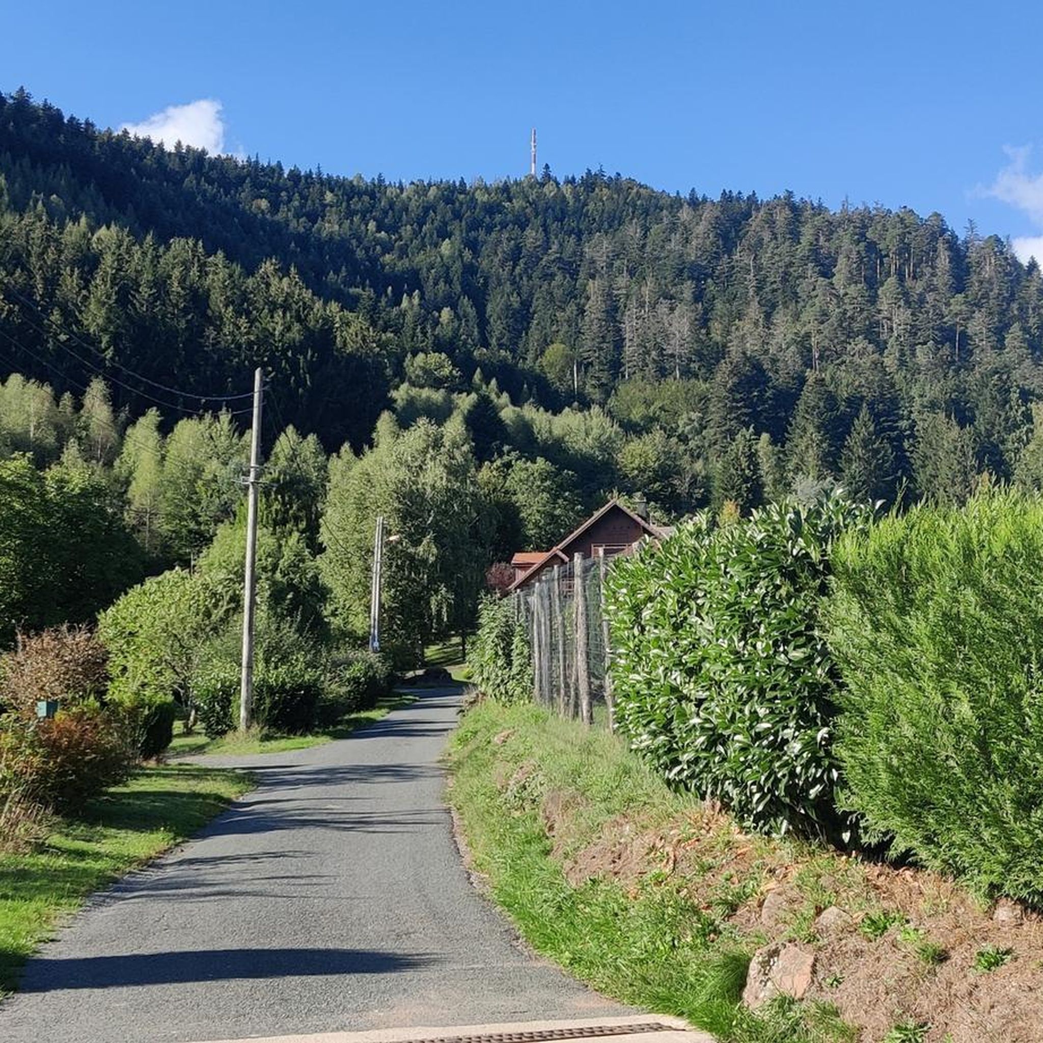
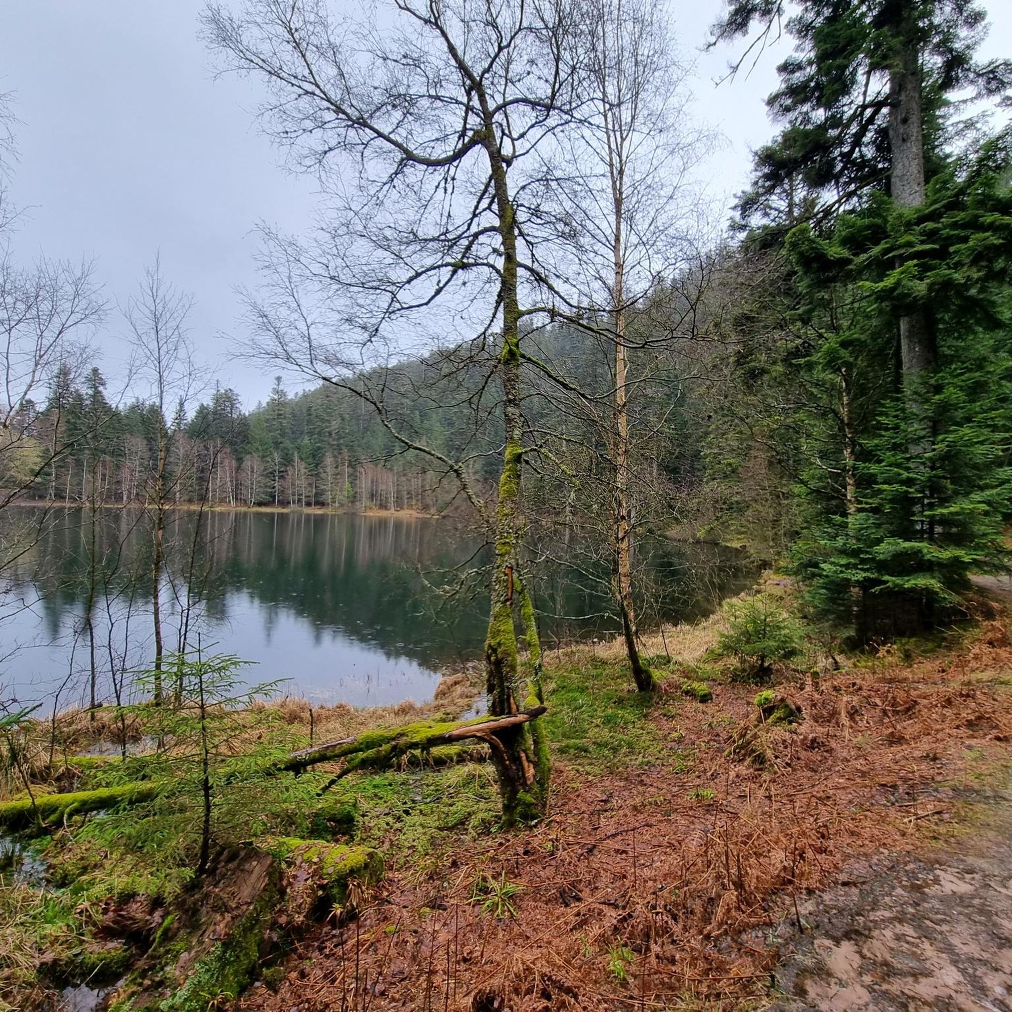

Tips from the Community

A lunch break or not at this spot is very pleasant with a great view towards the Donon.
0
0
Truly surprising place with this small path surrounded by herbs with a beautiful 360-degree view.
0
0

These are the steles that represent the Celtic pantheon. Originals are in Strasbourg.
0
0

Can we camp here over night?
0
0

The trail itself is fantastic, and the many bunkers, some of which have been integrated into the trail, make the walk even more interesting. On weekends, you're rarely alone here, and not even acoustically, as the nearby mountain road is often used by groups of motorcyclists.
2
0
A crossroads with a shelter and a small parking lot. Also located here is the Schubert Stone, one of many memorial stones commemorating the military conflicts that took place here in 1914 and the soldiers who died as a result.
1
0
Large rock with an inscription on the ascent to the Donon. According to legend, possibly a sacrificial stone...
2
0

Near the cabin is a boundary marker of the estates of the Lordship of Salm. The original boundary marker is located at Schirmeck Castle.
2
0
Frequently Asked Questions
How many hiking trails are available around Saint-Sauveur?
The Saint-Sauveur area offers a wide variety of hiking opportunities, with nearly 300 routes recorded on komoot. These range from easy strolls to challenging ascents, ensuring options for all skill levels.
What kind of terrain can I expect on hikes in Saint-Sauveur?
Hiking trails in Saint-Sauveur typically wind through dense, lush woodlands and feature varied terrain, including hills and forested sections. You'll often encounter winding paths, and from higher elevations, panoramic mountain and valley views are common. The region is characterized by the Laurentian Mountains, numerous lakes, and a classic Laurentides feel.
Are there any easy or family-friendly hiking options in the area?
Yes, Saint-Sauveur has over 100 easy routes suitable for families or those looking for a relaxed walk. While specific family-friendly routes are not detailed here, the region offers many trails with gentle elevation changes, such as the local trails around Mont Avila and Mont Olympia, which cater to different fitness levels. The Loop of Pauillac is an example of an easier 7.4 km route.
What are some notable natural features or landmarks to look out for?
The region is rich in natural beauty. You can explore areas with tranquil lakes like Lac de la Maix or Lake Pierre-Percée. For impressive views, consider trails that lead to viewpoints such as Raven Rock or summits like Le Petit Donon. The Laurentian Mountains themselves provide a picturesque backdrop to many trails.
Are there any circular hiking routes in Saint-Sauveur?
Yes, many trails in the Saint-Sauveur area are designed as circular routes, allowing you to start and end at the same point. Examples include the moderate Lac de la Maix – Roc des Cupules loop from Vexaincourt and the Druids' Rock – La Gagère Chapel loop from Saint-Sauveur. For a more challenging option, the difficult Lac de la Maix – Sentier des Hautes Chaumes loop from Vexaincourt is also a loop.
What do other hikers say about the trails in Saint-Sauveur?
The hiking trails around Saint-Sauveur are highly regarded by the komoot community, holding an average rating of 4.6 stars from over 2500 reviews. Hikers often praise the diverse landscapes, the serene forest environments, and the well-maintained paths that offer a true Laurentides hiking experience.
What is the best time of year to go hiking in Saint-Sauveur?
Saint-Sauveur is an all-season destination. While summer and fall offer lush greenery and vibrant autumn colors, making them popular for hiking, the region also transforms in winter for snowshoeing and cross-country skiing. The varied terrain means you can find enjoyable trails throughout the year, depending on your preferred activity and conditions.
Are there any challenging hikes for experienced trekkers?
Absolutely. For experienced hikers seeking a challenge, Saint-Sauveur and its surroundings offer several difficult routes. The Lac de la Maix – Sentier des Hautes Chaumes loop from Vexaincourt is a difficult 22.5 km path with significant elevation gain. Another demanding option is the Lac de la Maix – Oratory of the Forest loop from Vexaincourt, which covers 17.2 km. Further afield, Montagne d'Argent near Mont-Tremblant offers technical climbs with ropes and ladders.
Are there any trails with waterfalls or lakes?
Yes, the region's landscape includes numerous lakes and streams. While specific waterfall trails within Saint-Sauveur are not highlighted, nearby Mont-Tremblant National Park, a major hiking destination in the Laurentians, features trails like La Roche and Chutes-du-diable, which are known for their waterfalls, streams, and lakes.
What other activities can I do in Saint-Sauveur besides hiking?
Saint-Sauveur is a vibrant outdoor hub with activities for all seasons. In winter, it's popular for skiing, cross-country skiing, and snowshoeing. During summer and fall, visitors can enjoy a water park, rafting, summer tobogganing, mountain biking, golf, and various water sports like kayaking and paddleboarding on its many lakes.
Are there any historical sites or cultural attractions near the hiking trails?
Yes, the area around Saint-Sauveur has some interesting historical and cultural points. You might encounter sites like the Donon Temple or the ruins of Salm Castle, which add a historical dimension to the natural landscapes. These can often be found near or along various hiking routes.
Most popular routes around Saint-Sauveur
Most popular attractions around Saint-Sauveur

Get inspired with the komoot mobile app


Explore more
Browse the best Hikes in other regions.
