The best cycling routes around Saint-Pierre-Dels-Forcats
4.2
(104)
4,634
riders
154
rides
Touring cycling routes around Saint-Pierre-Dels-Forcats are set within the dramatic Pyrenean landscapes of the Occitanie region. The area is characterized by challenging mountain passes, high-altitude lakes, and the prominent Cambre d'Aze massif. This location serves as a crossroads between the Cerdagne, Capcir, and Conflent regions, offering diverse terrain for cyclists.
Best touring cycling routes around Saint-Pierre-Dels-Forcats
- The most popular touring cycling route is Col de la Perche (1,579 m) – Font-Romeu loop from Bolquère-Eyne, a 29.9 miles (48.1 km)…
Last updated: August 22, 2026
4.7
(3)
221
riders
47.4km
03:18
880m
880m
Hard bike ride. Very good fitness required. You may need to push your bike for some segments of this route.
4.7
(6)
70
riders
Hard bike ride. Very good fitness required. You may need to push your bike for some segments of this route.

Sign up for free
21
riders
37.9km
03:26
890m
890m
Hard bike ride. Very good fitness required. Mostly paved surfaces. Suitable for all skill levels.
21
riders
19.0km
01:44
350m
350m
Moderate bike ride. Good fitness required. Mostly paved surfaces. Suitable for all skill levels.
13
riders
31.8km
02:14
630m
630m
Hard bike ride. Very good fitness required. Mostly paved surfaces. Suitable for all skill levels.
Get access to more routes and recommendations from other explorers.
Sign up for free
Already have an account?
Our route recommendations are based on thousands of hikes, rides, and runs completed by other people on komoot.
Start today with a free account
Your next adventure awaits.
Login or Signup
Popular around Saint-Pierre-Dels-Forcats

On wild ridges: Catalonia to Ariège – Hexatrek, Eastern Pyrenees
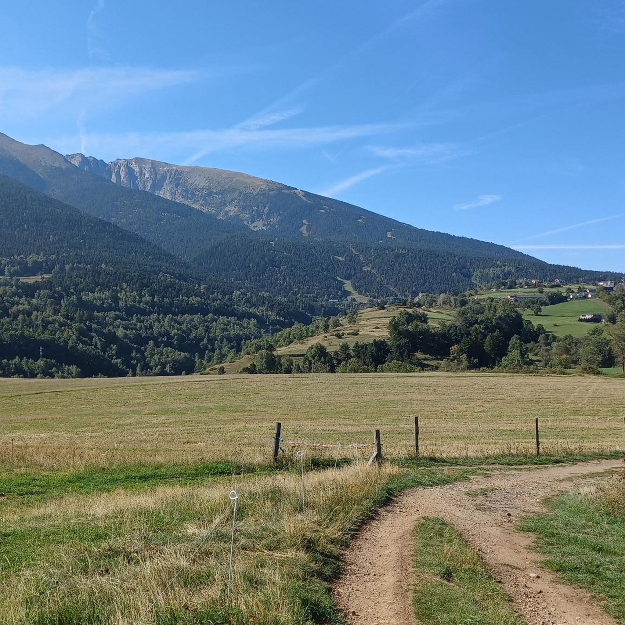
Hiking around Saint-Pierre-Dels-Forcats
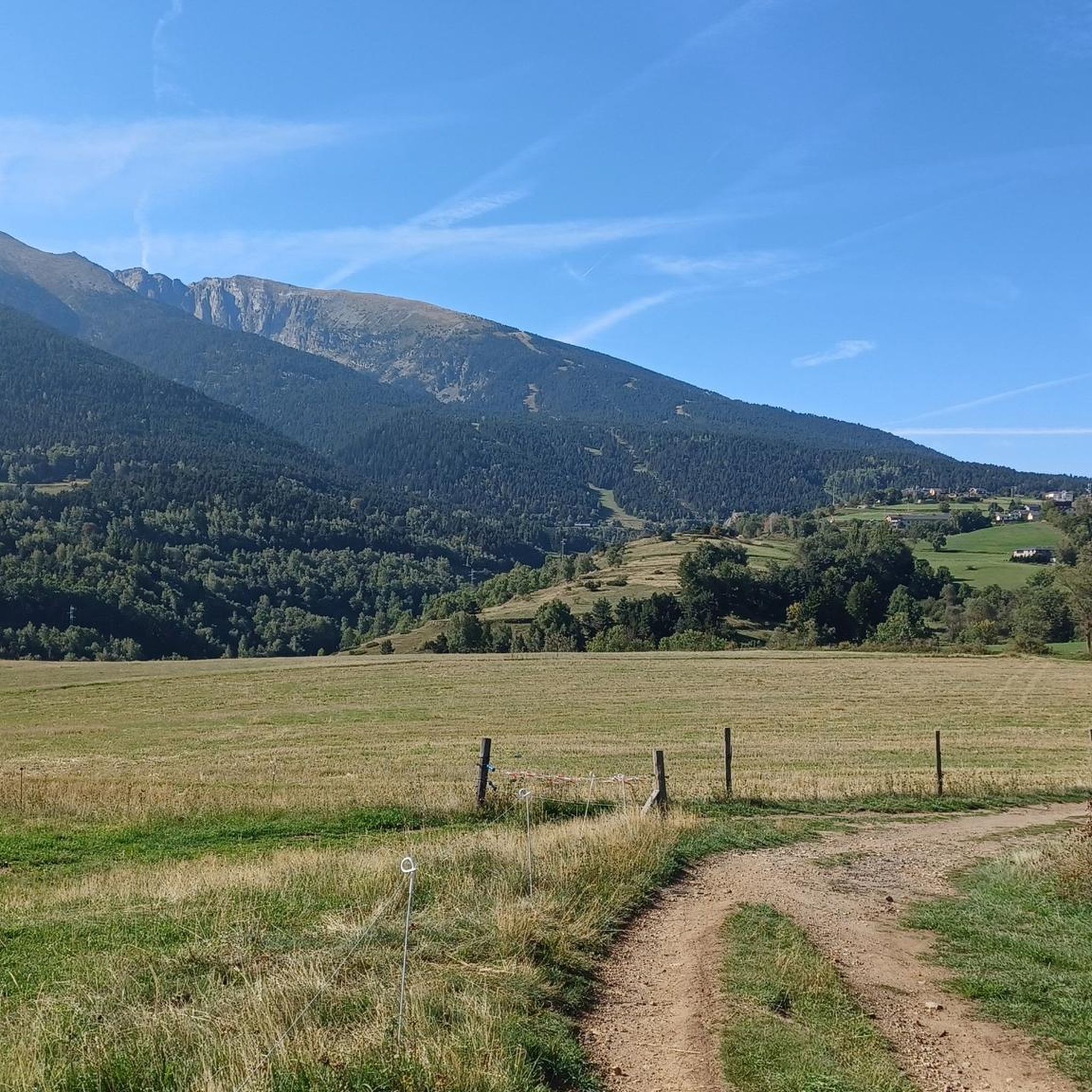
Road Cycling Routes around Saint-Pierre-Dels-Forcats
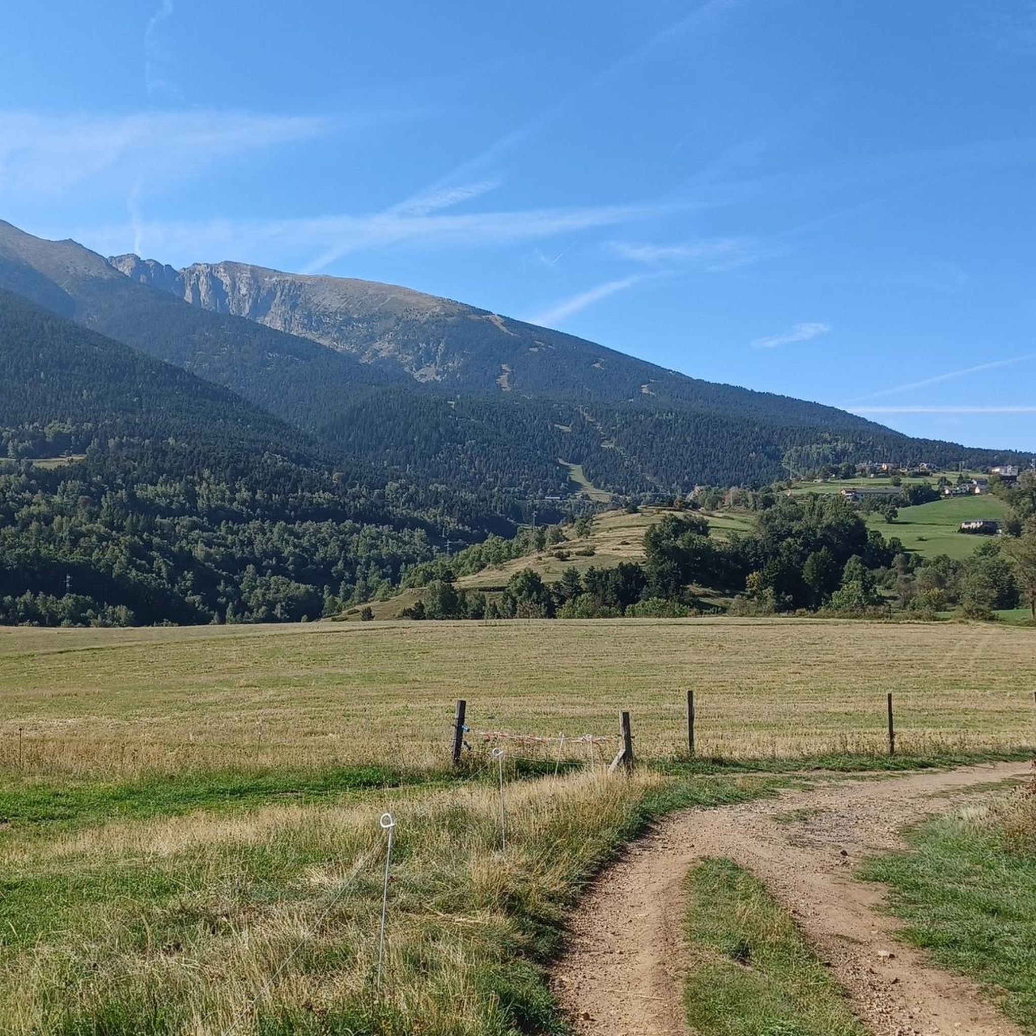
MTB Trails around Saint-Pierre-Dels-Forcats
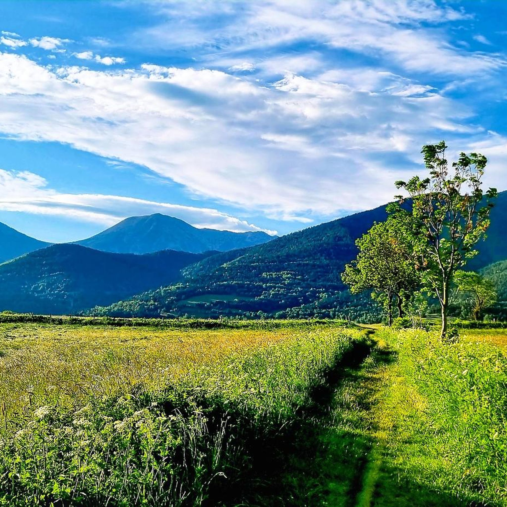
Running Trails around Saint-Pierre-Dels-Forcats
Gravel biking around Saint-Pierre-Dels-Forcats

Mountain Hikes around Saint-Pierre-Dels-Forcats
Other adventures around Saint-Pierre-Dels-Forcats

Tips from the Community


Beautiful view along the departmental road.
0
0

Lake Matemale with its beautiful beaches is located at an altitude of 1500 metres and therefore the water is between 19 and 23°.
1
1

Located inconspicuously next to the road, a small Stations of the Cross lead to Mount Calvary. A magnificent view from the top.
0
0


Well, starting from Font Romeu and breaking legs from Mont Louis
0
0
Frequently Asked Questions
How many touring cycling routes are available around Saint-Pierre-Dels-Forcats?
There are over 140 touring cycling routes in the Saint-Pierre-Dels-Forcats area, offering a wide range of options for different skill levels and preferences. These routes are highly rated by the komoot community, with an average score of 4.2 stars.
What kind of terrain can I expect on touring cycling routes in this region?
The terrain around Saint-Pierre-Dels-Forcats is characterized by dramatic Pyrenean landscapes. You'll encounter challenging mountain passes, high-altitude lakes, and the prominent Cambre d'Aze massif. Routes vary from well-paved roads with consistent gradients to some unpaved segments, offering diverse cycling experiences.
Are there any easy touring cycling routes for beginners or families?
Yes, while many routes feature significant elevation gain, there are approximately 20 easy touring cycling routes available. These paths are suitable for those looking for a less strenuous ride or for families cycling together. Look for routes with lower elevation gains and shorter distances.
Which routes offer the most challenging climbs for experienced touring cyclists?
For experienced touring cyclists seeking a challenge, routes like Col de la Perche (1,579 m) – Font-Romeu loop from Bolquère-Eyne and Col du Calvaire (Font-Romeu) – Font-Romeu loop from Mont-Louis - La Cabanasse are excellent choices. These routes feature significant elevation gains and are classified as difficult, providing a rewarding experience amidst stunning Pyrenean scenery.
What natural attractions can I see along the touring cycling routes?
The region is rich in natural beauty. You can cycle past high-altitude lakes such as Lac des Bouillouses and Lac de Matemale. The routes also offer views of the majestic Cambre d'Aze massif and take you through the Regional Natural Park of the Catalan Pyrenees. For specific natural monuments, consider exploring areas near Puigmal d'Er Summit or Salt del Grill.
Are there any circular touring cycling routes in the area?
Many of the touring cycling routes around Saint-Pierre-Dels-Forcats are designed as loops, allowing you to start and finish in the same location. An example is the Col de la Perche (1,579 m) – Church and village of Llo loop from Mont-Louis - La Cabanasse, which offers a scenic circular journey through the landscape.
What is the best time of year for touring cycling in Saint-Pierre-Dels-Forcats?
The best time for touring cycling is generally from late spring to early autumn (May to October). During these months, the weather is more stable, and mountain passes are typically clear of snow. Summer offers warmer temperatures, while spring and autumn provide cooler rides and vibrant natural colors.
Are there any historical landmarks or cultural sites accessible by bike?
Yes, the region offers cultural enrichment alongside its natural beauty. Routes like the Mont-Louis Church – Porte de France, Mont-Louis loop from Mont-Louis - La Cabanasse can lead you through historic areas. Nearby attractions include the fortified village of Villefranche-de-Conflent and the Mont-Louis citadel, which provide interesting stops during your ride.
What do other touring cyclists enjoy most about cycling in Saint-Pierre-Dels-Forcats?
The area is highly rated by the komoot community, with an average score of 4.2 stars from over 100 reviews. Cyclists often praise the stunning Pyrenean scenery, the variety of challenging mountain passes like Col de la Perche (1,579 m) and Col de la Llose, and the tranquil roads that offer a peaceful cycling experience away from heavy traffic.
Is public transport an option for accessing cycling routes or getting around?
While specific public transport options directly tailored for cyclists with bikes might vary, the region does have some public transport infrastructure. For instance, vehicle access to Lac des Bouillouses is regulated, with shuttle buses and a chairlift from Font-Romeu providing access, which can be useful for reaching certain areas or for a mixed-mode adventure.
Are there routes that feature high-altitude passes?
Absolutely. The region is renowned for its high-altitude passes. You can find routes that include the Col de la Perche (1,579 m) and the Col de la Llose (1866 meters). These passes offer significant climbs and breathtaking views of the surrounding Pyrenean landscape.
Can I find routes that are less crowded and offer a serene cycling experience?
Yes, many of the roads leading to scenic spots and mountain passes, such as those around Col de la Llose, are often quiet and less frequented by heavy traffic. This allows for a serene cycling experience amidst forests and pastures, providing a peaceful escape into nature.
Most popular routes around Saint-Pierre-Dels-Forcats
Most popular attractions around Saint-Pierre-Dels-Forcats

Get inspired with the komoot mobile app


Explore more
Browse the best Cycling routes in other regions.
