The best road cycling routes around Saint-Pierre-Dels-Forcats
4.4
(121)
9,550
riders
52
rides
Road cycling around Saint-Pierre-Dels-Forcats, located in the Pyrénées-Orientales department of Southern France, offers diverse landscapes and challenging terrain. The region is characterized by the majestic Cambre d'Aze massif, numerous mountain passes, and the scenic Parc Naturel Régional des Pyrénées Catalanes. Cyclists navigate routes with significant elevation changes, providing varied experiences across this mountainous environment.
Best road cycling routes around Saint-Pierre-Dels-Forcats
- The most popular road cycling route is Col de la Llose from La Llagonne, a 9.3 miles (14.9 km)…
Last updated: July 1, 2026
1
riders
14.9km
01:00
400m
400m
Moderate road ride. Good fitness required. Mostly well-paved surfaces and easy to ride.
4.7
(3)
540
riders
95.6km
04:52
1,560m
1,560m
Hard road ride. Very good fitness required. Some segments of this route may be unpaved and difficult to ride.

Sign up for free
5.0
(2)
244
riders
35.1km
01:46
600m
600m
Moderate road ride. Good fitness required. Mostly well-paved surfaces and easy to ride.
100
riders
Moderate road ride. Good fitness required. Mostly well-paved surfaces and easy to ride.
4.0
(1)
71
riders
42.1km
02:10
760m
760m
Moderate road ride. Good fitness required. Mostly well-paved surfaces and easy to ride.
Get access to more routes and recommendations from other explorers.
Sign up for free
Already have an account?
Our route recommendations are based on thousands of hikes, rides, and runs completed by other people on komoot.
Start today with a free account
Your next adventure awaits.
Login or Signup
Popular around Saint-Pierre-Dels-Forcats

On wild ridges: Catalonia to Ariège – Hexatrek, Eastern Pyrenees
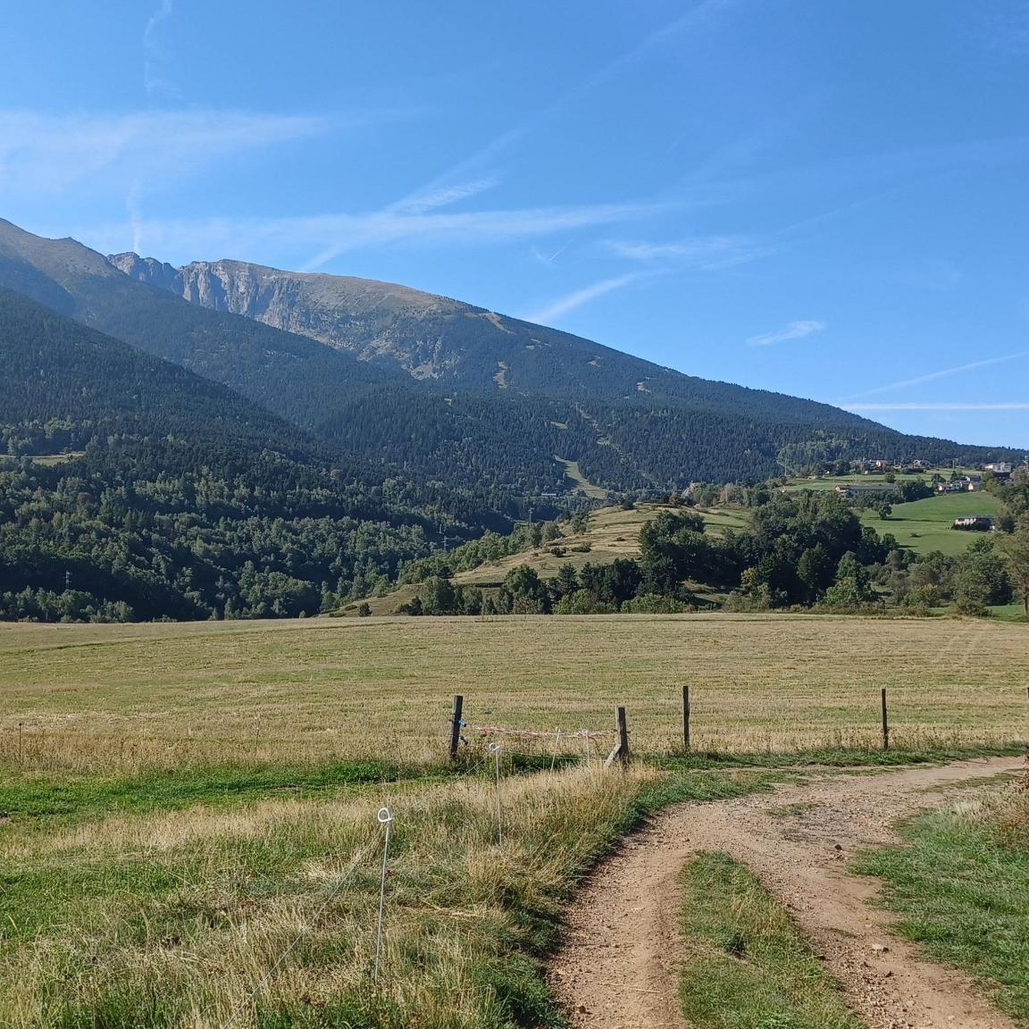
Hiking around Saint-Pierre-Dels-Forcats
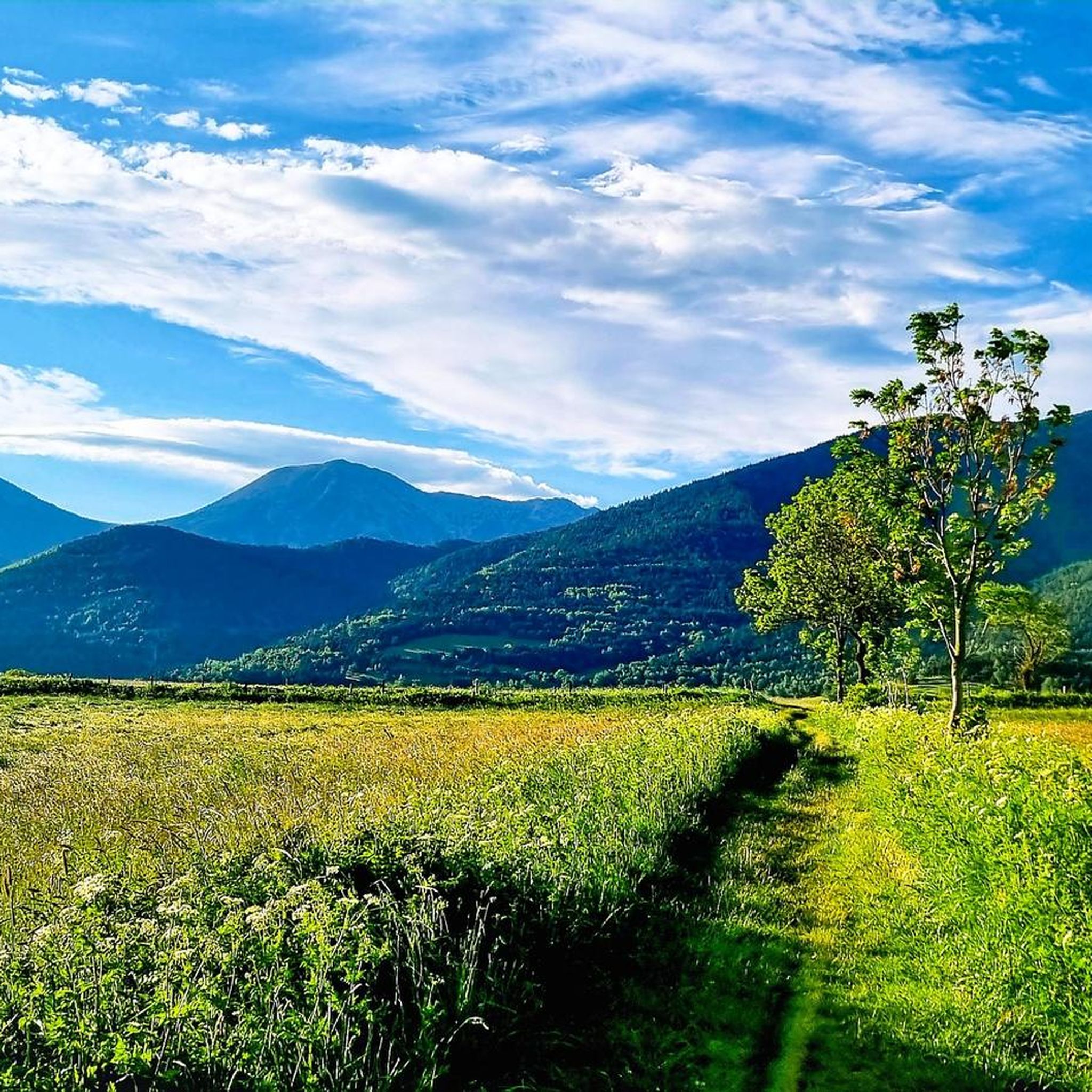
Cycling around Saint-Pierre-Dels-Forcats
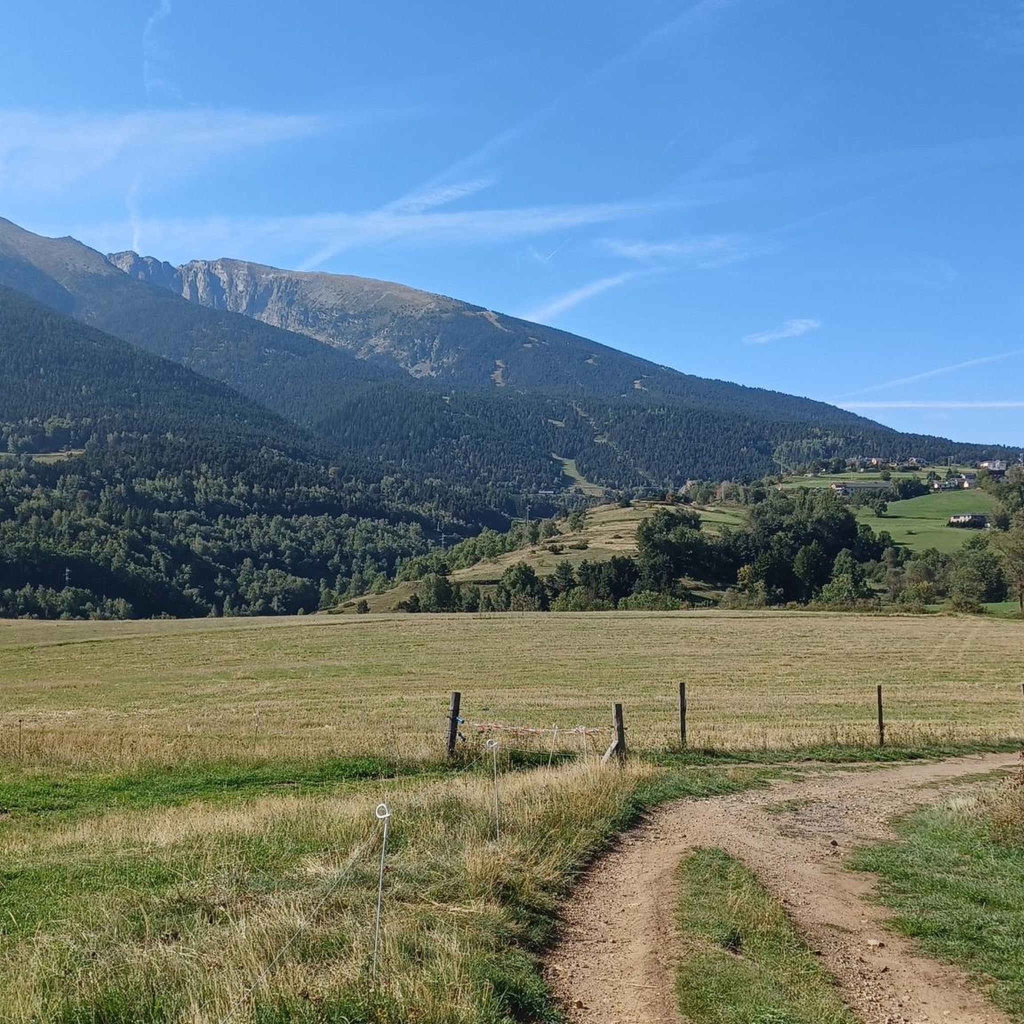
MTB Trails around Saint-Pierre-Dels-Forcats
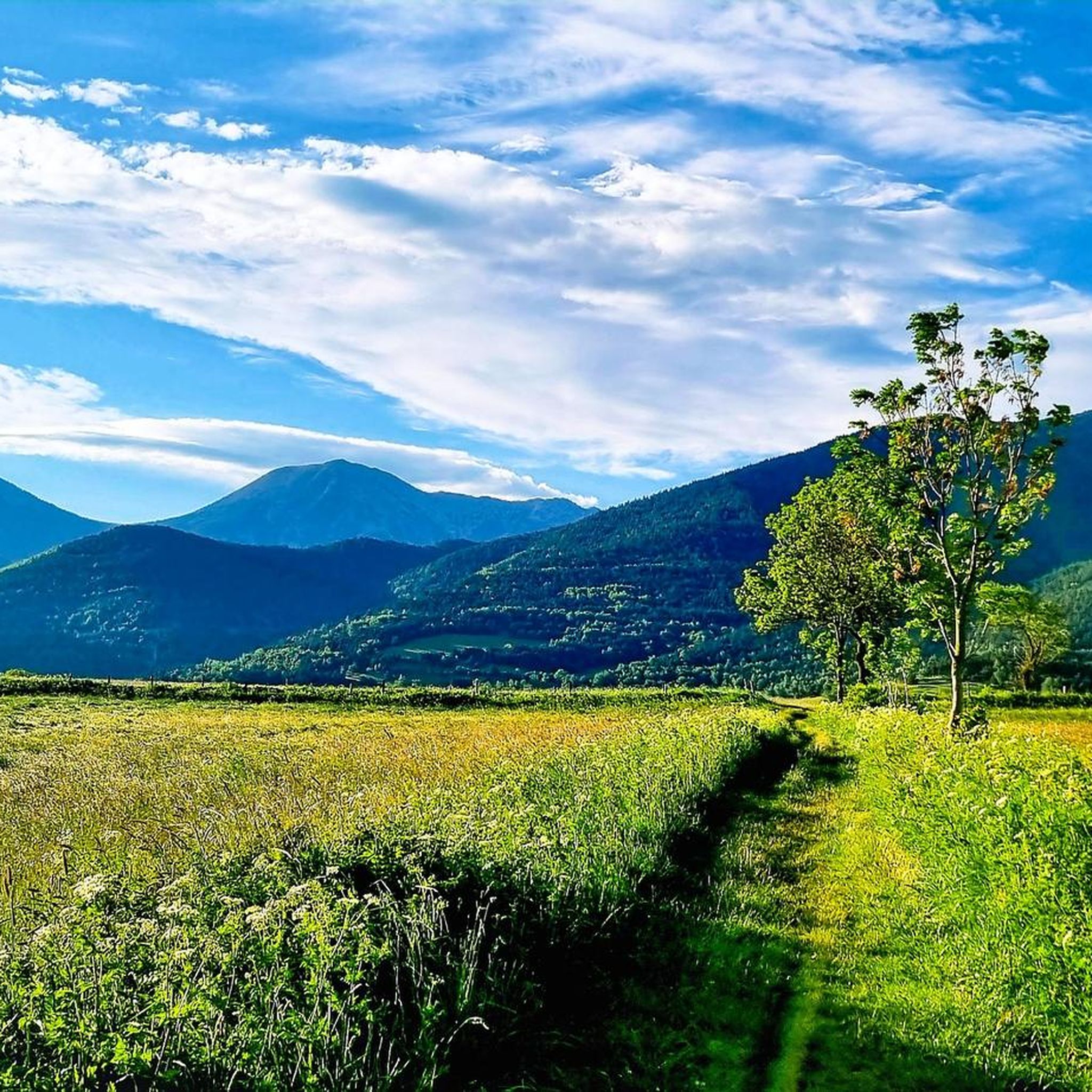
Running Trails around Saint-Pierre-Dels-Forcats
Gravel biking around Saint-Pierre-Dels-Forcats

Mountain Hikes around Saint-Pierre-Dels-Forcats
Other adventures around Saint-Pierre-Dels-Forcats

Tips from the Community

It's an ideal spot for a picnic. It's also an ideal place for groups of cyclists supported by vans, as there's plenty of space here to relax and not disturb anyone. The lake is at an elevated point, so accessing it from La Llagonne or Les Angles requires a steep climb, always at a lower gradient.
0
0


Well, starting from Font Romeu and breaking legs from Mont Louis
0
0

If you are not sitting on the racer and driving through beautiful countryside, you could visit the castle
0
0
The Col de la Calvaire de Font Romeu is a mountain pass in French Cerdanya, next to the town and ski resort of Font Romeu. This port connects the Bolquère valley with the Cerdanya valley. The port is within the same town of Font Romeu, next to the station's ski lifts. There are many slopes to reach Col de la Calvaire: - the western slope that starts from Ur is approximately 16 km and crosses the town of Targasone and the Col d'Egat. It is a very steep climb along a road in perfect condition, although on holidays there is a lot of traffic. - The southern slope starts from Llívia and crosses Estavar and joins the previous one at the Col d'Egat. Unlike the first, the first section of the climb is very hard, with several horseshoe curves and with wonderful views of the entire Cerdanya and the Tosa d'Alp. - The eastern slope stops at Olette, and after approximately 28 km it reaches the top of the pass, passing through the town of Mont-Louis and Bolquère. It is a very steep climb, like the first, on a road in perfect condition but with a lot of traffic. I don't like going up here. - the eastern slope that starts from Olette and passes through the Col de la Perche, reaching the town of Font-Romeu and from there to the top. Of all the slopes, the one I like the most is the slope that starts from Llívia and crosses Estavar.
0
0
This is the beginning of the Port de Pailhères on its eastern side, in Usson-les-Bains. It is worth stopping because there is a sign that commemorates the first climb of the Tour de France in 2003 and indicates the main information about the port.
0
0
Shortly after beginning the ascent to Port de Pailhères on its eastern slope, the Usson castle can be perfectly admired in its splendor. The view of the castle continues during the first 3 km, so you can take several panoramic views of it.
0
0
Frequently Asked Questions
How many road cycling routes are available around Saint-Pierre-Dels-Forcats?
There are over 40 road cycling routes in the Saint-Pierre-Dels-Forcats area, catering to various skill levels. You'll find a mix of easy, moderate, and difficult paths to explore the region.
Are there any easy road cycling routes suitable for beginners or families?
Yes, while the region is known for its challenging terrain, there are a couple of easier routes available. These routes offer a gentler introduction to road cycling in the area, allowing you to enjoy the scenery without significant climbs. Look for routes with lower elevation gains and shorter distances.
What are some of the most challenging road cycling climbs in the area?
The region is characterized by numerous mountain passes, offering significant challenges. Routes like the Mijanès – Col de la Perche (1,579 m) loop from Mont-Louis - La Cabanasse, which covers nearly 96 km with over 1500 meters of elevation gain, provide extensive climbs through the mountainous landscape. Another demanding option is the Col de la Perche (1,579 m) – Beautiful mountain road loop from Bolquère-Eyne, featuring over 1600 meters of ascent.
What is the best time of year for road cycling in Saint-Pierre-Dels-Forcats?
The best time for road cycling is generally from late spring through early autumn. During these months, the weather is more stable, and mountain passes are typically clear of snow. The region experiences winter sports activities, so some routes may be inaccessible or require specific gear during colder months.
Are there any scenic loop routes for road cyclists?
Absolutely. The area offers several scenic loop routes that allow you to experience the diverse landscapes. For example, the Col de la Perche (1,579 m) – Llo Pass loop from Bolquère-Eyne is a moderate 35 km trail that takes you through mountain passes and valleys, offering beautiful views of the Parc Naturel Régional des Pyrénées Catalanes.
What natural attractions can I see along the road cycling routes?
The routes often wind through the scenic Parc Naturel Régional des Pyrénées Catalanes, offering breathtaking views of the Cambre d'Aze massif. You'll encounter numerous mountain passes like Col de la Perche (1,579 m) and Col de la Llose. The region is also home to dramatic geological formations such as the Gorges de la Pierre-Lys and the Gorges de Galamus, though these may require detours from typical road cycling paths.
Are there any historical sites or landmarks to explore near the cycling routes?
Yes, the region is rich in history. You can explore the Mont-Louis citadel, a Vauban fortification, or the fortified ancient village of Villefranche-de-Conflent, both recognized for their historical significance. The village of Saint-Pierre-Dels-Forcats itself features an old baroque church with classified altarpieces and traditional stone houses.
What do other road cyclists say about the routes in Saint-Pierre-Dels-Forcats?
The road cycling routes in Saint-Pierre-Dels-Forcats are highly rated by the komoot community, with an average score of 4.6 stars from over 90 reviews. Cyclists frequently praise the diverse landscapes, challenging climbs, and the immersive experience of riding through the Pyrenees.
Are there any specific routes that offer particularly stunning views?
Many routes in the region offer spectacular views, especially those that ascend mountain passes. The routes around the Cambre d'Aze massif provide panoramic vistas across the Capcir, Cerdagne, and even towards Spain. The Col de la Llose from La Llagonne route, for instance, offers a scenic ascent with significant elevation gain, rewarding cyclists with expansive mountain scenery.
Where can I find parking when starting a road cycling route?
While specific parking details for each route are not always listed, villages and towns like Saint-Pierre-Dels-Forcats, Mont-Louis - La Cabanasse, and Bolquère-Eyne, which serve as common starting points for routes, typically offer public parking facilities. It's advisable to check local signage upon arrival.
Are there opportunities for cafe stops or refreshments along the routes?
Many road cycling routes pass through or near traditional villages and towns in the region. These often feature local cafes, bakeries, and restaurants where you can stop for refreshments. Exploring these charming spots can be a delightful part of your cycling experience.
What kind of terrain can I expect on road cycling routes in this region?
You can expect a mountainous terrain characterized by significant elevation changes. Routes often involve ascents and descents through mountain passes and valleys, with roads winding through the Parc Naturel Régional des Pyrénées Catalanes. The surfaces are generally well-maintained for road cycling, but be prepared for varied gradients.
Most popular routes around Saint-Pierre-Dels-Forcats
Most popular attractions around Saint-Pierre-Dels-Forcats

Get inspired with the komoot mobile app


Explore more
Browse the best Road cycling routes in other regions.
