The best walks and hikes around Saint-Merd-Les-Oussines
4.7
(205)
1,078
hikers
70
hikes
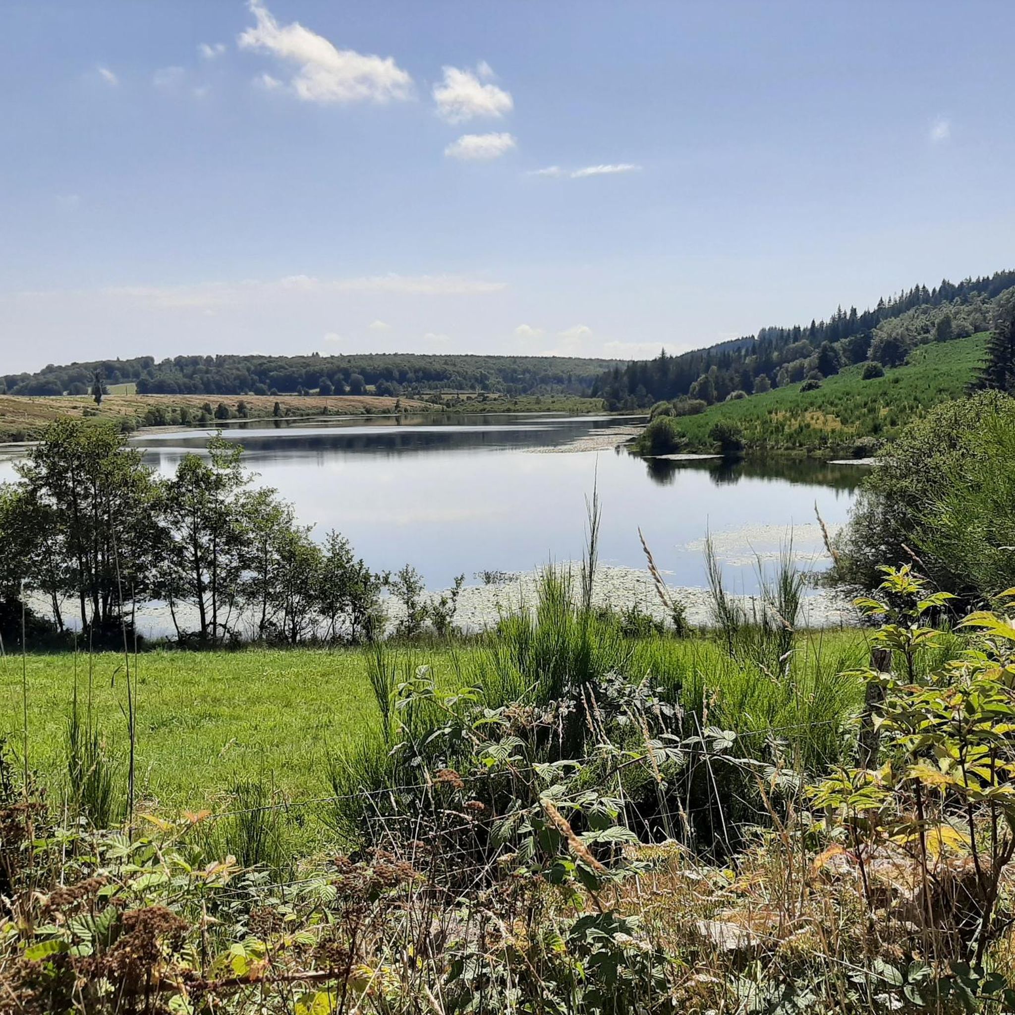
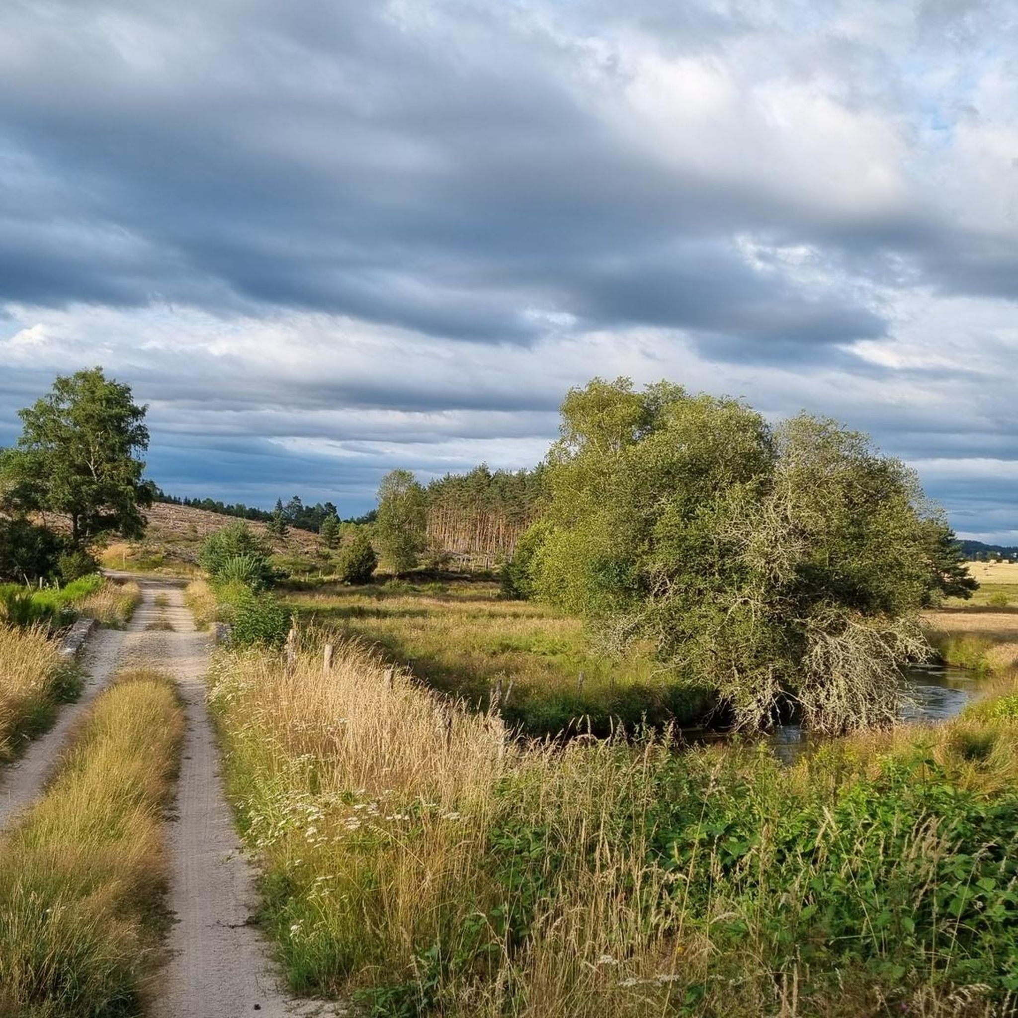
Hiking around Saint-Merd-Les-Oussines offers exploration of the Plateau de Millevaches, a regional natural park in central France. The terrain is characterized by hilly landscapes, with elevations ranging from 731 to 934 meters, featuring granite soil and extensive forests covering 42% of the area. Hikers will encounter unique natural features such as peat bogs, including the Longeyroux peat bog, and numerous water points like the Vézère River and the Etang des Oussines.
Best hiking trails in Saint-Merd-Les-Oussines
- The most popular hiking…
Last updated: May 21, 2026
4.7
(3)
23
hikers
12.6km
03:26
180m
180m
Moderate hike. Good fitness required. Easily-accessible paths. Suitable for all skill levels.
4.9
(25)
114
hikers
7.60km
02:01
80m
80m
Moderate hike. Good fitness required. Easily-accessible paths. Suitable for all skill levels.

Sign up for free
4.9
(25)
113
hikers
7.60km
02:01
80m
80m
Moderate hike. Good fitness required. Easily-accessible paths. Suitable for all skill levels.
4.6
(10)
70
hikers
5.55km
01:29
60m
70m
Easy hike. Great for any fitness level. Easily-accessible paths. Suitable for all skill levels.
5.0
(6)
22
hikers
13.5km
03:35
140m
140m
Moderate hike. Good fitness required. Easily-accessible paths. Suitable for all skill levels.
Get access to more routes and recommendations from other explorers.
Sign up for free
Already have an account?
Our route recommendations are based on thousands of hikes, rides, and runs completed by other people on komoot.
Start today with a free account
Your next adventure awaits.
Login or Signup

Tips from the Community

Take 3 minutes to go down the path which will lead you to the remains of the Gallo-Roman villa and its water channels, cut into the stone.
0
0

Pérols-sur-Vézère is a beautiful little village on the Millevaches plateau. It is crossed by what is today a departmental road, but which was a very important Gallo-Roman axis during ancient Rome.
0
0
A vestige of the Carolingian era, this bridge extends the rural path that leads from Varieras to Pérols-sur-Vézère, and has now become a must-see hiking destination. It is thus used by many hikers. Its construction, typical of the period, presents itself as follows: a low-arched arch, three water crossings on the left side, and a small fore-beak made of cut granite blocks. Architecture enthusiasts will appreciate it.
0
0
The hamlet of Variéras is made up of dwellings covered with thatched roofs. This gives it the appearance of a Gallic village, which contributes to your journey through time with the Gallo-Roman site of Les Cars, not far from here.
0
0
The archaeological site of Les Cars is one of the most impressive in Limousin. It offers everything you need to understand the great Roman era. It's also located in a magnificent natural setting between moors and forests, on the Millevaches plateau. Whether you're passionate about history, engineering, religion, or heritage, you'll find a site rich in learning: it includes construction techniques, agriculture, water management, and the religious rites of the time.
0
0

Superb hike to enjoy without moderation!
1
0
Superb hike, to be enjoyed without moderation!
1
0

superb old bridge dating from the Carolingian era
0
0
Frequently Asked Questions
How many hiking trails are available in Saint-Merd-Les-Oussines?
There are over 70 hiking trails around Saint-Merd-Les-Oussines, offering a wide range of options for exploring the diverse landscapes of the Plateau de Millevaches. These include routes of varying difficulty, from easy strolls to more challenging treks.
What kind of landscapes can I expect to see while hiking here?
Hikers in Saint-Merd-Les-Oussines will discover a rich tapestry of landscapes. The region is characterized by extensive forests covering 42% of the area, unique peat bogs like the Longeyroux peat bog, and numerous serene water points such as the Etang des Oussines and the Vézère River. The terrain is hilly, with altitudes ranging from 731 to 934 meters, offering picturesque views.
What is the best time of year to go hiking in Saint-Merd-Les-Oussines?
The Plateau de Millevaches, where Saint-Merd-Les-Oussines is located, offers enjoyable hiking experiences across multiple seasons. Spring and autumn provide pleasant temperatures and vibrant natural colors. Summer is also popular, especially for exploring the cooler forest trails and water bodies. Winter hiking is possible, but conditions can be colder, and some trails might be less accessible.
Are there any easy hiking trails suitable for beginners or families?
Yes, Saint-Merd-Les-Oussines offers a good selection of easy trails perfect for beginners or families. For instance, the Hiking loop from Millevaches is an easy route that allows for a gentle introduction to the region's natural beauty.
Are there any circular walks in the area?
Many of the trails in Saint-Merd-Les-Oussines are designed as circular routes, allowing you to start and end your hike at the same point. A great example is the Longeyroux Peat Bogs loop from Puy Cherfou, which takes you through a distinctive ecosystem and returns you to your starting point.
Can I bring my dog on the hiking trails?
Many trails in the Saint-Merd-Les-Oussines area are dog-friendly, allowing you to enjoy the natural surroundings with your canine companion. However, it's always recommended to keep dogs on a leash, especially in areas with wildlife or near livestock, and to respect local regulations for nature reserves like the Plateau de Millevaches Regional Natural Park.
What historical sites can I visit while hiking?
You can combine your hike with a journey through history. The In the footsteps of the Gallo-Roman site of Les Cars trail leads you to the remains of a 2nd-century villa and funerary mausoleum. Additionally, the village itself features a 14th-century granite parish church and remnants of a Templar commandery, which can be incorporated into longer walks.
Are there any trails that feature water bodies like lakes or rivers?
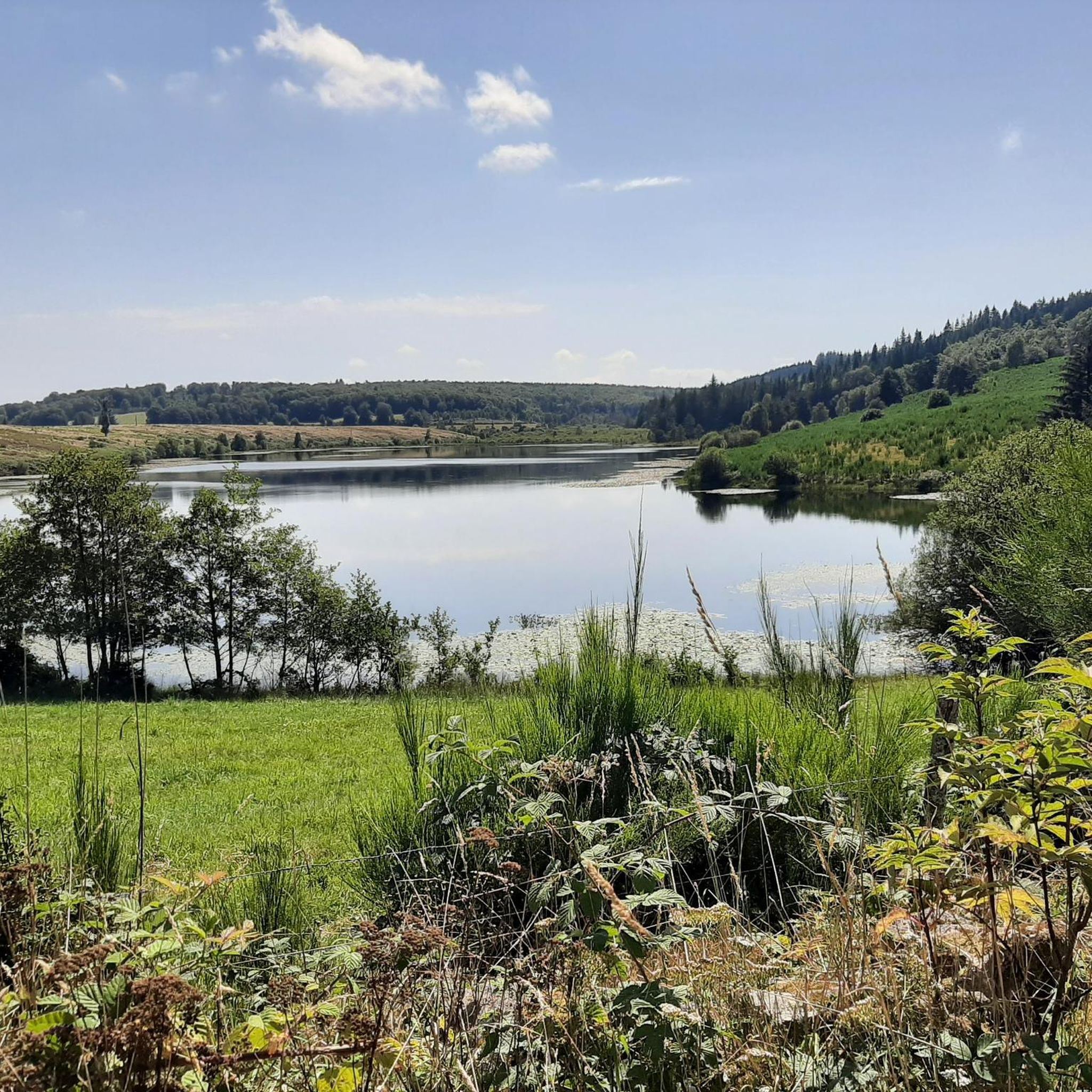
Yes, the region is rich in water points. Trails often lead past the Vézère River, the Ars, and several picturesque ponds. The Etang des Oussines is particularly notable for its biodiversity and historical structures, while the Etang du Diable and the Etang de la Tindilière also offer beautiful waterside views.
What are the typical elevation gains on trails in Saint-Merd-Les-Oussines?
The trails in Saint-Merd-Les-Oussines are characterized by hilly terrain, with elevation gains varying depending on the route. For example, the Longeyroux Peat Bogs loop from Chavanac involves an elevation gain of approximately 140 meters, offering a moderate challenge. Many routes feature gentle ascents and descents, making them accessible while still providing a good workout.
Is there public transport available to reach the hiking areas?
Public transport options directly to the more remote hiking trailheads in Saint-Merd-Les-Oussines can be limited. It is generally recommended to travel by car to access the starting points of many trails, especially those deeper within the Plateau de Millevaches Regional Natural Park. Check local transport schedules for the nearest towns for potential connections.
Where can I park when starting a hike?
Parking is typically available at or near the starting points of popular hiking trails and in the village centers. Many trailheads, especially those leading to significant natural features like the Longeyroux peat bog or the Etang des Oussines, often have designated parking areas. Always look for signs or local information regarding parking availability.
What facilities like cafes or restaurants are available near the trails?
While the hiking trails themselves are primarily in natural settings, the village of Saint-Merd-Les-Oussines and nearby communes offer a few local establishments where you can find refreshments or a meal. It's advisable to check opening hours in advance, especially outside of peak tourist season, and to carry sufficient water and snacks for your hike.
What do other hikers say about the trails in Saint-Merd-Les-Oussines?
The trails in Saint-Merd-Les-Oussines are highly regarded by the komoot community, with an average rating of 4.6 stars from over 200 reviews. Hikers often praise the tranquility of the extensive forests, the unique beauty of the peat bogs, and the well-maintained paths that allow for immersive exploration of this unspoiled natural environment.
Most popular routes around Saint-Merd-Les-Oussines
Most popular attractions around Saint-Merd-Les-Oussines

Get inspired with the komoot mobile app


Explore more
Browse the best Hikes in other regions.
