The best running trails around Moussy-Verneuil
4.6
(60)
1,771
runners
75
runs
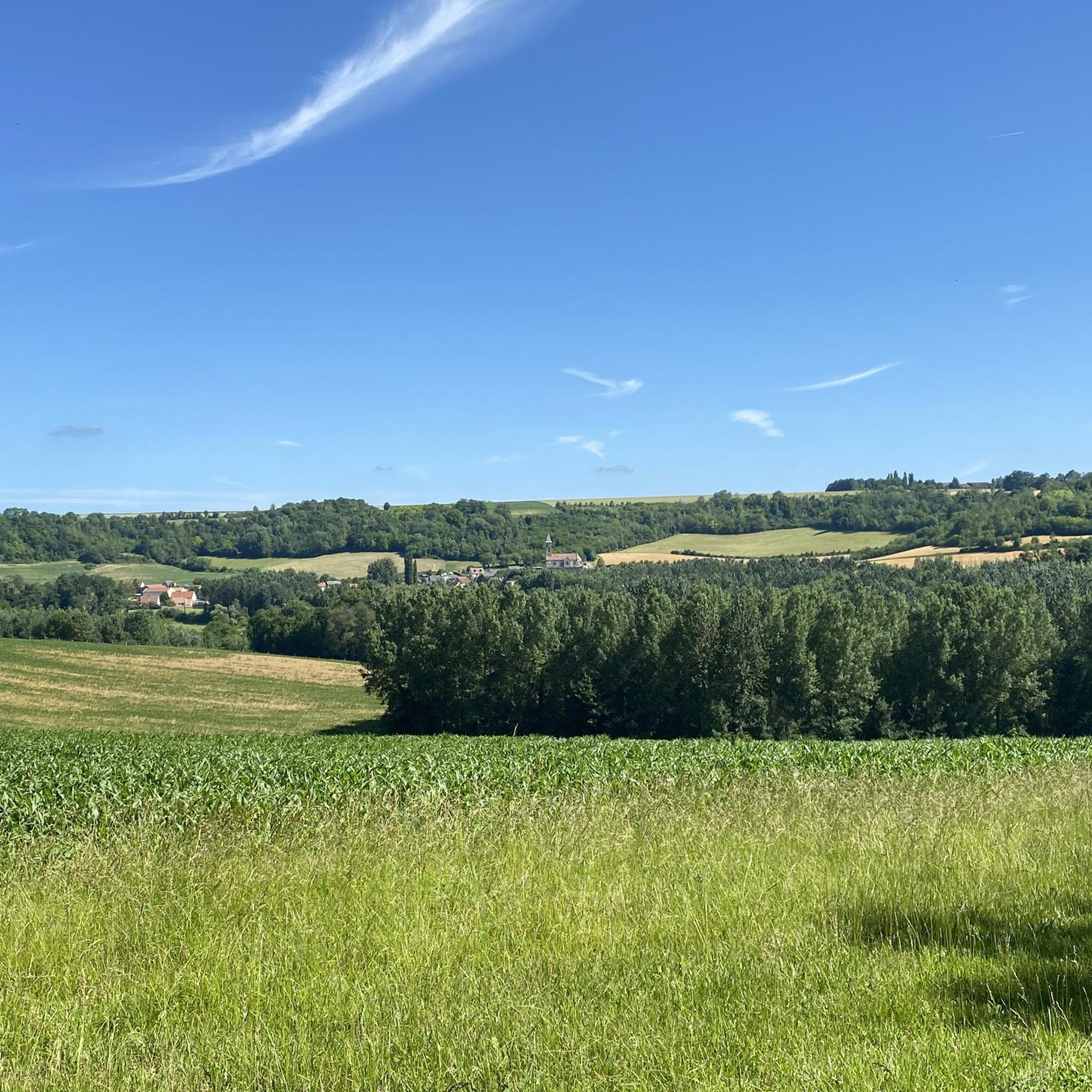
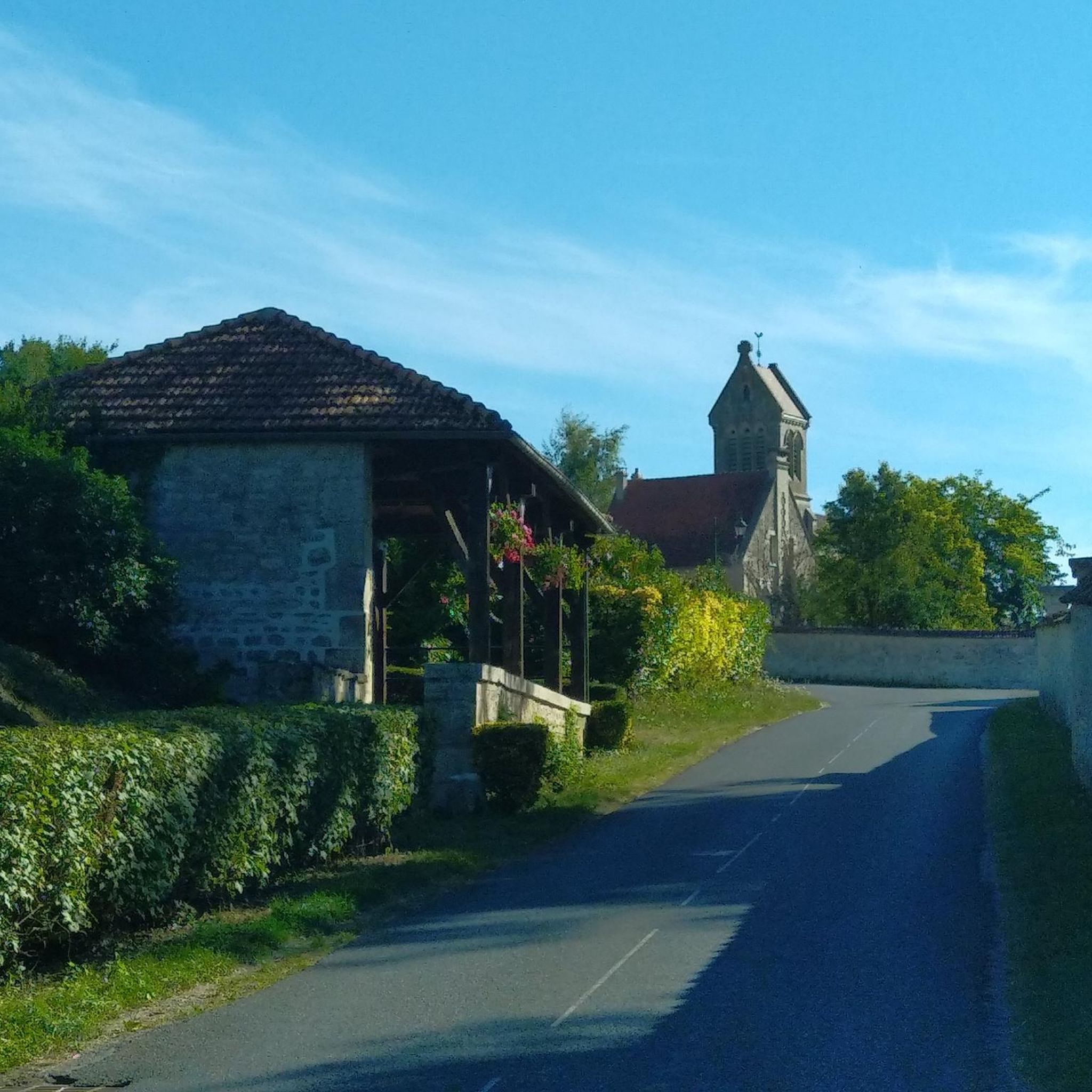
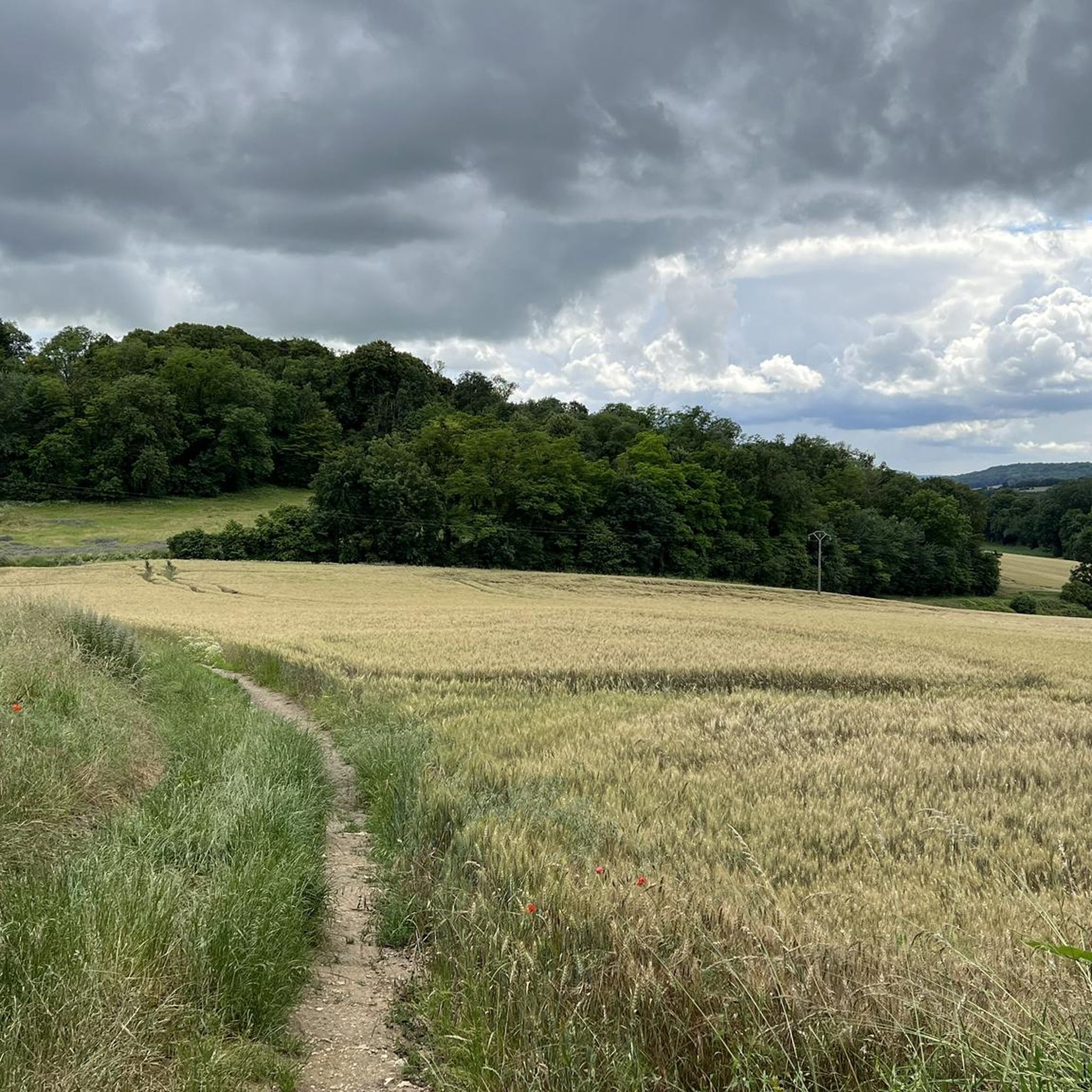
Jogging around Moussy-Verneuil offers access to a varied landscape of natural reserves, extensive forests, and serene lakeside environments. The region is characterized by rolling countryside, often featuring views of vineyards and historical sites. Running routes frequently follow paths along the Ailette River and its associated lakes, providing flat sections, while other trails venture into wooded areas and gentle hills. This blend of natural features creates diverse running experiences for all ability levels.
Best jogging routes around Moussy-Verneuil
- The most popular…
Last updated: October 22, 2026
163
runners
24.5km
02:53
430m
430m
Hard run. Very good fitness required. Mostly paved surfaces.
4.5
(2)
117
runners
16.8km
01:48
130m
130m
Hard run. Very good fitness required. Mostly paved surfaces.

11
runners
16.7km
02:00
270m
270m
Hard run. Very good fitness required. Mostly paved surfaces.
7
runners
9.23km
00:59
30m
30m
Moderate run. Good fitness required. Mostly paved surfaces.
5
runners
9.67km
01:01
60m
60m
Moderate run. Good fitness required. Mostly paved surfaces.
Get access to more routes and recommendations from other explorers.
Already have an account?
Our route recommendations are based on thousands of hikes, rides, and runs completed by other people on komoot.
Start today with a free account
Your next adventure awaits.

Tips from the Community

The Vauclair Abbey near Bouconville-Vauclair in the Aisne department was founded in 1134 by Bernard of Clairvaux as a Cistercian monastery. In the Middle Ages, it developed into an important monastic complex; it was significantly expanded, particularly in the 13th century. During the First World War, Vauclair was located directly in the combat zone of the Chemin des Dames and was almost completely destroyed by artillery fire in 1917. The ruins visible today have been archaeologically investigated, excavated, and partially secured since the 1960s. Directly next to the ruins, there is now a medicinal herb garden with around 400 species and a conservation orchard. This verger conservatoire preserves old regional apple and pear varieties; according to the French Garden Association, there are about 84 different varieties represented there. Together with the monastery ruins, the site thus commemorates not only the history of the Cistercians but also their close connection to agriculture, horticulture, and botany.
1
0

Hidden in the middle of the forest, this Cistercian abbey, founded in 1134 by Bernard of Clairvaux, appears like a mirage. Its majestic ruins bear witness to a turbulent past. From the Hundred Years' War and the French Revolution to the First World War, the abbey suffered considerable destruction. In the 1960s, the site was overgrown with brambles and forgotten. Thanks to the archaeological excavation group "Sources" led by Father Courtois, it experienced a rebirth.
2
0

Beautiful quiet place for a walk
0
0

A remarkable remnant of what was once a large and important abbey. Caesar, Napoleon and German troops are said to have passed through this area during the First World War.
3
0

Evening hikes have their own special charm here. The sun reflects particularly beautiful colors on the water surface. Hike to the boat lift, cross the river and head back towards the starting point.
0
0

This abbey, which was founded in 1134 by St. Bernard, was severely damaged in a bombardment in 1917. The best preserved buildings are the pantry, the refectory of the lay brothers, the chapter house and the monks' hall. The foundations of the abbey church and the inn are still visible. Next to the garden with medicinal plants there is an exhibition space. Surrounding it is the monastic forest of Vauvelair, which covers 1000 hectares.
12
0

The Étang des Moines lake is one of the four ponds that were dug by the monks of Liessies Abbey at the end of the 17th century. Covering an area of approximately 20 hectares, it is home to various species of fish, such as carp, pike, perch, roach and tench. The lake is also a haven for wildlife, particularly birds, such as herons, ducks, coots and kingfishers. You can appreciate the tranquility and beauty of the lake from different viewpoints, such as the wooden bridge or the picnic area.
2
0

Between the woods and the greenway, this former abbey is interesting from a historical point of view
1
0
Frequently Asked Questions
How many running routes are available around Moussy-Verneuil?
There are over 70 diverse running routes around Moussy-Verneuil, catering to various fitness levels and preferences. These include easy, moderate, and difficult options, ensuring there's a path for every runner.
What kind of terrain can I expect on jogging routes in Moussy-Verneuil?
Jogging routes in Moussy-Verneuil offer a varied landscape. You'll find paths along the Ailette River and its associated lakes, providing flat sections. Other trails venture into extensive forests, nature reserves, and rolling countryside, often featuring views of vineyards and gentle hills. This blend creates diverse running experiences.
Are there running paths suitable for beginners in Moussy-Verneuil?
Yes, Moussy-Verneuil offers several easy running routes perfect for beginners. An example is the View of Lake Ailette loop from Chamouille, which is 2.7 km long and features minimal elevation gain, making it a great starting point.
What about more challenging running trails for experienced runners?
For those seeking a challenge, Moussy-Verneuil has difficult running trails. The Vauclair Abbey Ruins – View of Lake Ailette loop from Chamouille is a demanding 24.5 km route with significant elevation changes, offering a rigorous workout and scenic rewards. Another challenging option is the Troglodyte Village of Paissy loop from Œuilly, spanning 16.6 km.
When is the best time of year to go jogging in Moussy-Verneuil?
Moussy-Verneuil is enjoyable for jogging throughout much of the year. Spring and autumn offer pleasant temperatures and beautiful scenery with changing foliage. Summer is also great, especially for lakeside routes or shaded forest trails. Winter running is possible, but be mindful of colder temperatures and potential icy conditions on some paths.
Are there any circular jogging routes in the area?
Yes, many of the running routes in Moussy-Verneuil are circular, allowing you to start and finish at the same point. Examples include the Vauclair Abbey Ruins – View of Lake Ailette loop from Chamouille and the Bras mort de l'aisne loop from Cys-la-Commune, which is a moderate 9.2 km loop.
What scenic views or landmarks can I see while running?
Many running routes offer picturesque views. You can enjoy serene lakeside vistas, especially around Lake Ailette, and explore historical sites. For instance, the Vauclair Abbey Ruins – View of Lake Ailette loop from Chamouille passes by the impressive Vauclair Abbey Ruins. Other routes might offer glimpses of the region's rolling countryside and vineyards.
Are there any historical sites along the running routes?
Yes, the region around Moussy-Verneuil is rich in history. The Vauclair Abbey Ruins – View of Lake Ailette loop from Chamouille route features the historic Vauclair Abbey Ruins. You might also encounter other historical monuments or charming villages, adding a cultural dimension to your run. The unique Troglodyte Village of Paissy is another fascinating historical point of interest accessible via a running route.
What do other runners say about the trails in Moussy-Verneuil?
The running trails in Moussy-Verneuil are highly regarded by the komoot community, boasting an average rating of 4.4 stars from over 20 reviews. More than 1500 runners have explored the varied terrain, often praising the natural beauty, diverse landscapes, and well-maintained paths.
Are there long-distance running options for experienced athletes?
Absolutely. For those looking for longer distances, the Vauclair Abbey Ruins – View of Lake Ailette loop from Chamouille is a substantial 24.5 km route. The region's extensive forests and network of trails also allow for combining routes to create even longer running experiences.
Can I bring my dog on the running trails in Moussy-Verneuil?
While specific regulations can vary, many natural paths and forest trails in the Moussy-Verneuil area are generally dog-friendly. It's always recommended to keep your dog on a leash, especially in nature reserves or areas with wildlife, and to clean up after them. Always check local signage for any restrictions.
Are there family-friendly running paths in Moussy-Verneuil?
Yes, there are several easy and moderate routes that are suitable for families. Paths along the Ailette River and its lakes often provide flat, accessible surfaces. The shorter, less challenging routes, like the View of Lake Ailette loop from Chamouille, are ideal for a family outing.
Is parking available near the trailheads for running routes?
Parking is generally available near the starting points of many popular running routes and in the villages surrounding Moussy-Verneuil. For specific routes, it's advisable to check the route details on komoot, as many tours provide information on recommended parking spots.
Most popular routes around Moussy-Verneuil
Most popular attractions around Moussy-Verneuil

Get inspired with the komoot mobile app


Explore more
Browse the best Running Trails & Routes in other regions.
